





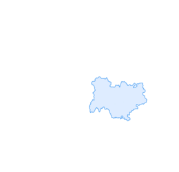

Monts du Lyonnais - The Chamousset country loop - 2.3

Úroveň náročnosti: 2
Sporty side
With its 35 km distance and a slight difference in altitude, this route does not offer any particular difficulties and will delight cyclists whether they are experienced or not. The pleasure...
With its 35 km distance and a slight difference in altitude, this route does not offer any particular difficulties and will delight cyclists whether they are experienced or not. The pleasure of riding is guaranteed on pretty roads with the landscapes of the Monts
of the Lyonnais. For the more experienced, it is possible to link this route with loop 2.4 (common route to Chamousset) thus offering around 70 km and 1,000 m of elevation gain.
Tourism side
With a very natural side, average altitudes around 700 metres and a beautiful landscape environment, loop 2.3 is carried out while enjoying the panoramas
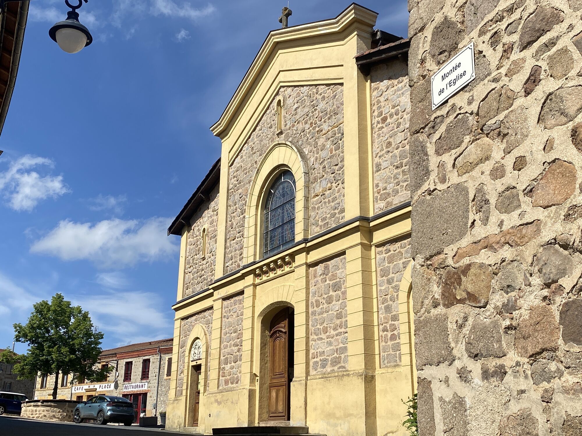
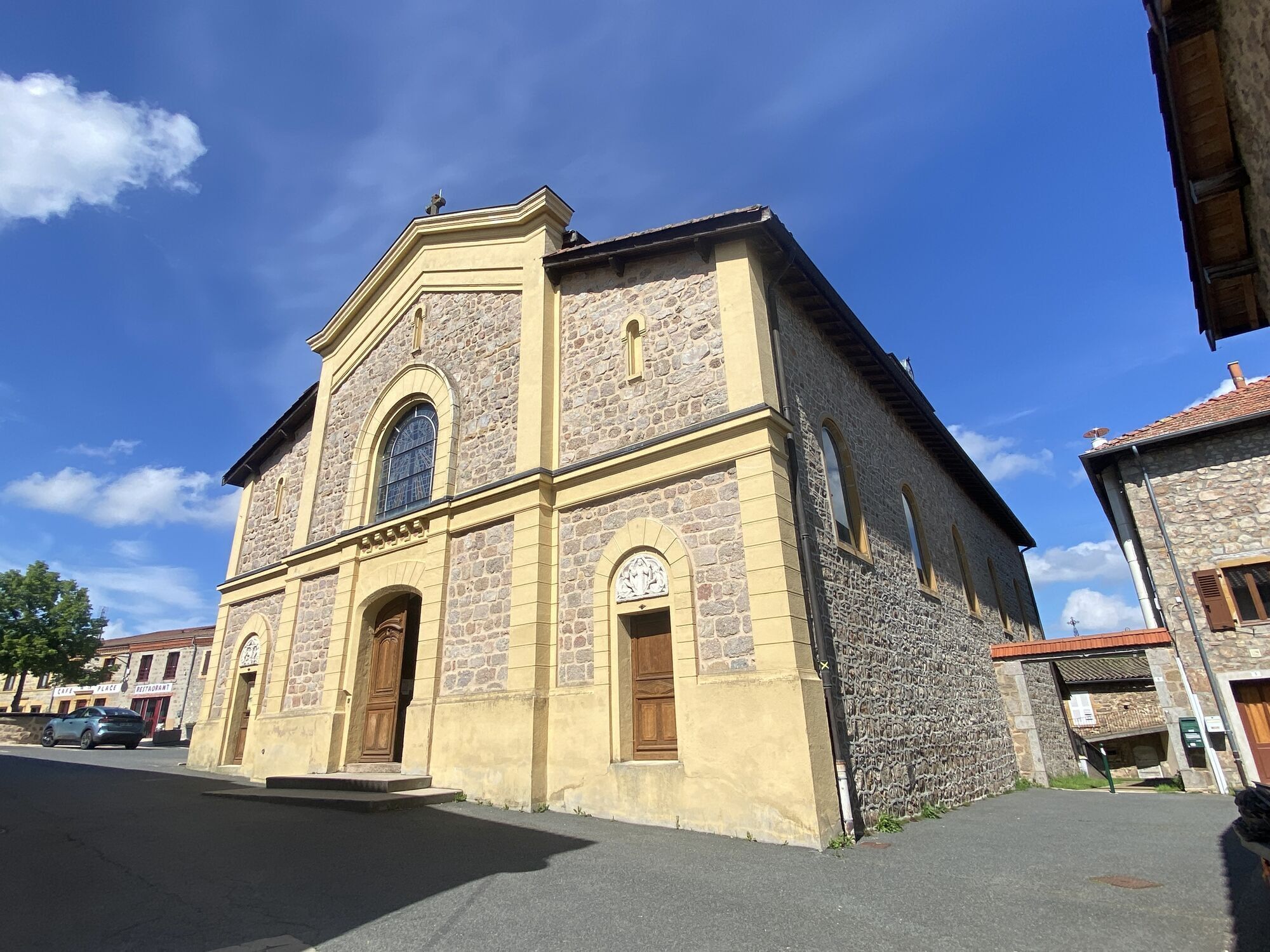
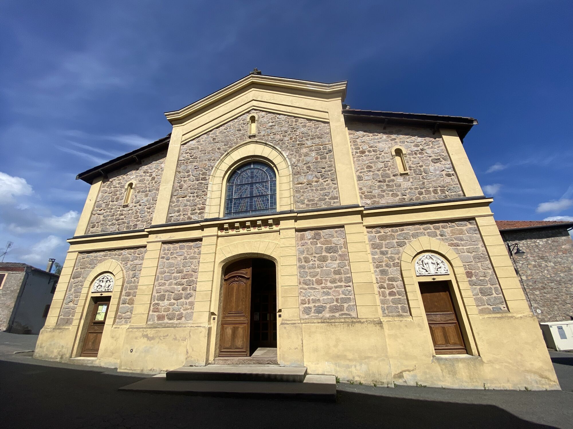
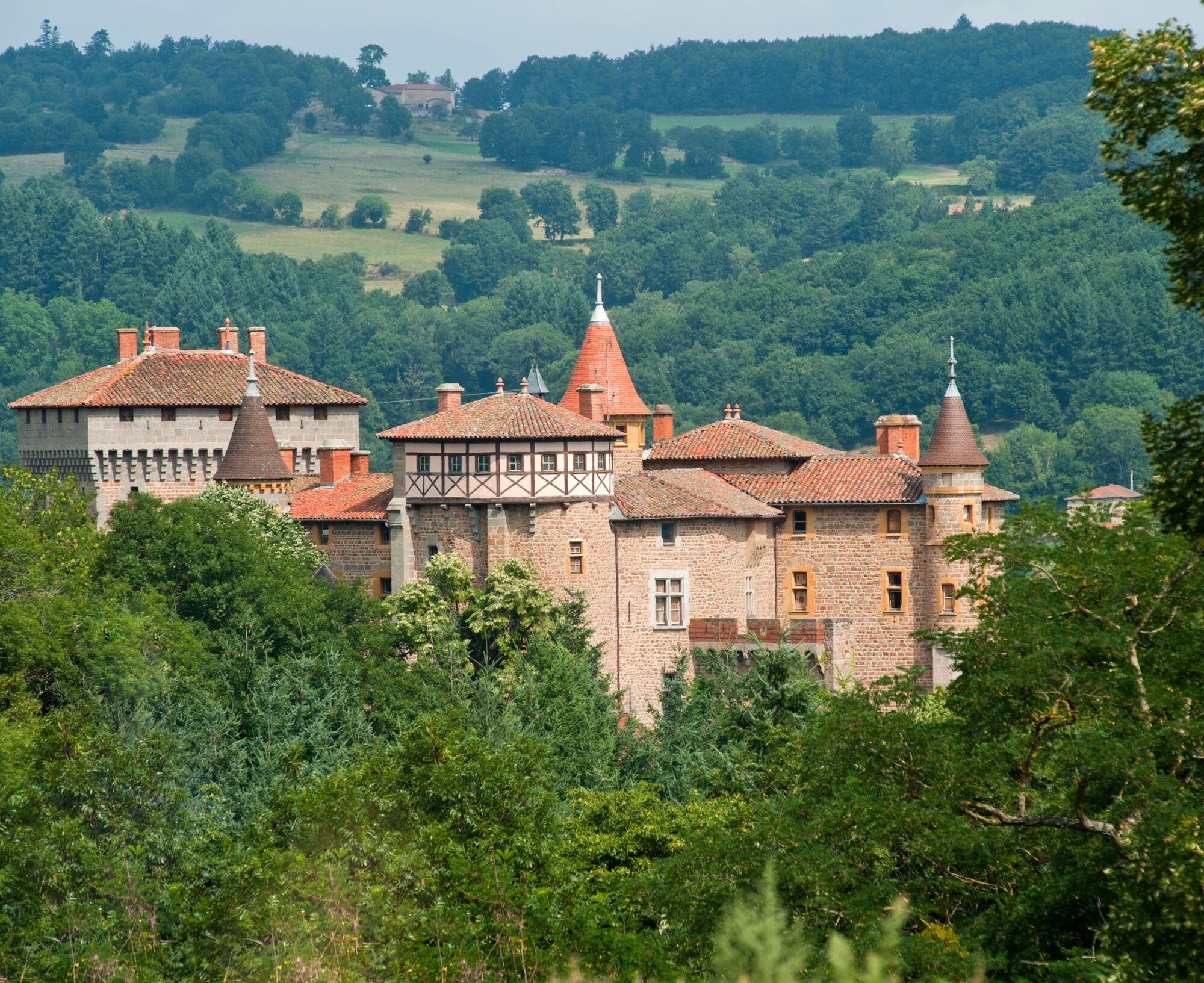
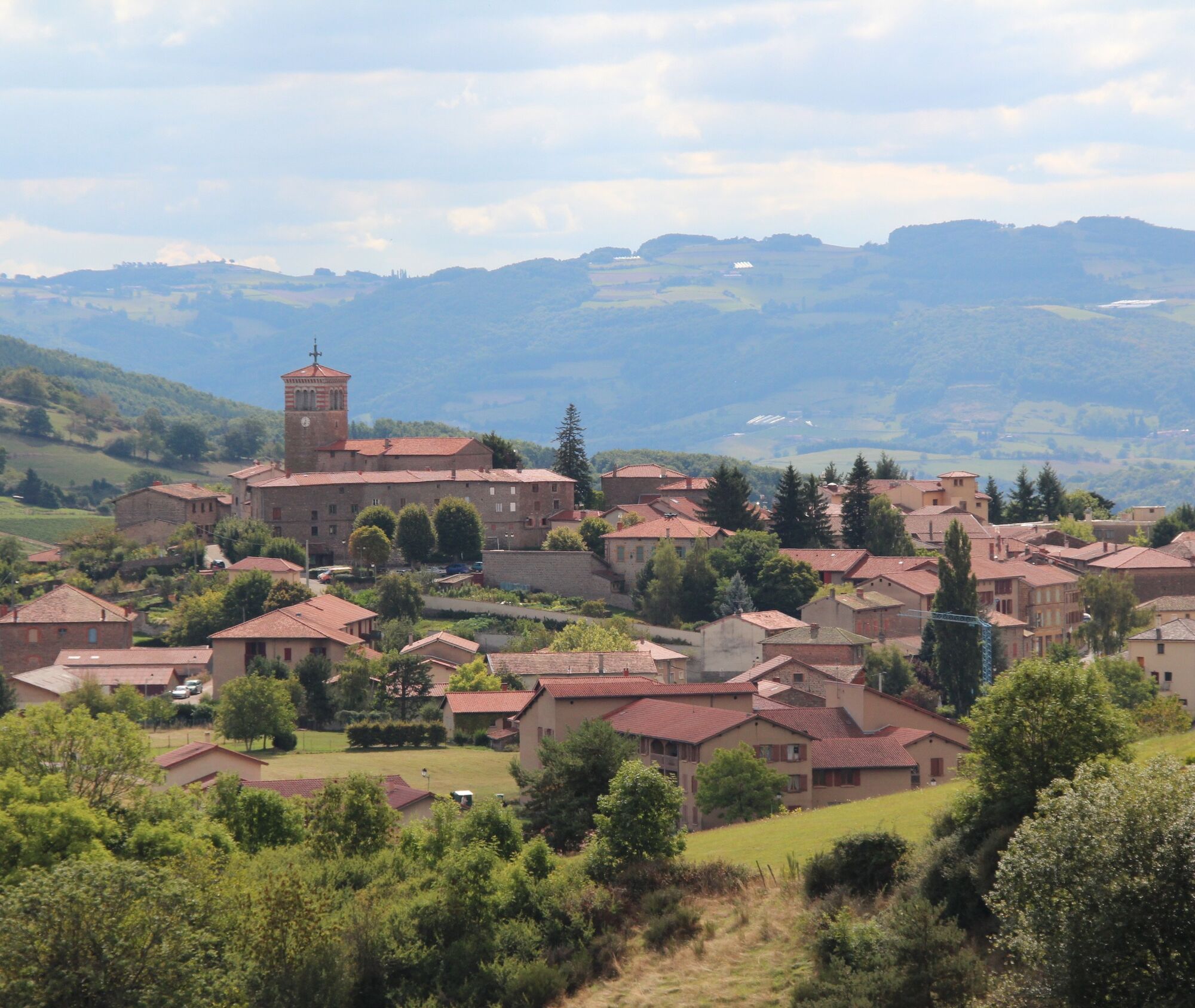
and unusual local heritage. Stops to plan along the way: the view of the Château de Chamousset at a place called Chevaléron (open to visitors in summer) and the town of Montrottier.


Áno
Good practices:
To enjoy your ride safely, here are our tips:
- Check the condition of your bike before departure (brakes, transmission, tightening screws, etc.) and the battery for electric bikes
- Wear a helmet, and keep it on when climbing
- Wear clothing suitable for the activity and weather
- Leave with water and food
- Carry a repair kit (tools, inner tube, pump...)
- Do not overestimate your skills
- Study the route before leaving
- Inform someone close about the loop you will do
- Have on you the number of a contact person in case of accident
The Inns via Longessaigne Progressive climb without major difficulty where you can regularly increase the pace to make a difference. Watch out for the small ramp before the village of Longessaigne, then the last 500 meters before descending to the Inns.
55 minutes from Lyon via the A6 motorway.
Parking near the starting point
2
An error on this sheet? Write to the owner citing these references:
Sheet name: Monts du Lyonnais - The loop of the Chamousset region - 2.3 | Sheet ID: 5008065 | URL link of this Outdooractive page.
Obľúbené výlety v okolí
-
5,0
The Gimond dam - Monts du Lyonnais - Grézieu-le-Marché
svetloTuristika 11,2 km -
Trail of the landscapes of the Monts du Lyonnais
strednáTuristika 12,0 km -
Regina, Duroni, Sweetheart - Monts du Lyonnais - Bessenay
svetloTuristika 13,6 km -
Sentier découverte de l'aqueduc romain de la Brévenne
svetloTuristika 5,42 km -
Chemin de Saint Jacques de Compostelle - Etape 3 - Saint-Martin-en-Haut / Saint Galmier
svetloTuristika 26,5 km -
Malá túra na crêt d'Arjoux - Monts du Lyonnais - Saint-Julien-sur-Bibost
svetloTuristika 4,93 km -
Courz'y Trail Park - Circuit No. 1: La Découverte
svetloTrailrunning 7,27 km -
Courz'y Trail Park - Circuit No. 5: La Montée Infernale
ťažkéTrailrunning 2,85 km -
From the Crêt de la Madone to the Col des Brosses - Monts du Lyonnais - Yzeron
svetloTuristika 12,8 km -
MTB Circuit 126 - Tour of the pelaude city
svetloMountainbike 7,31 km
Turistika a stopovanie


Nenechajte si ujsť ponuky a inšpiráciu na ďalšiu dovolenku
Vaša e-mailová adresa bol pridaný do poštového zoznamu.





