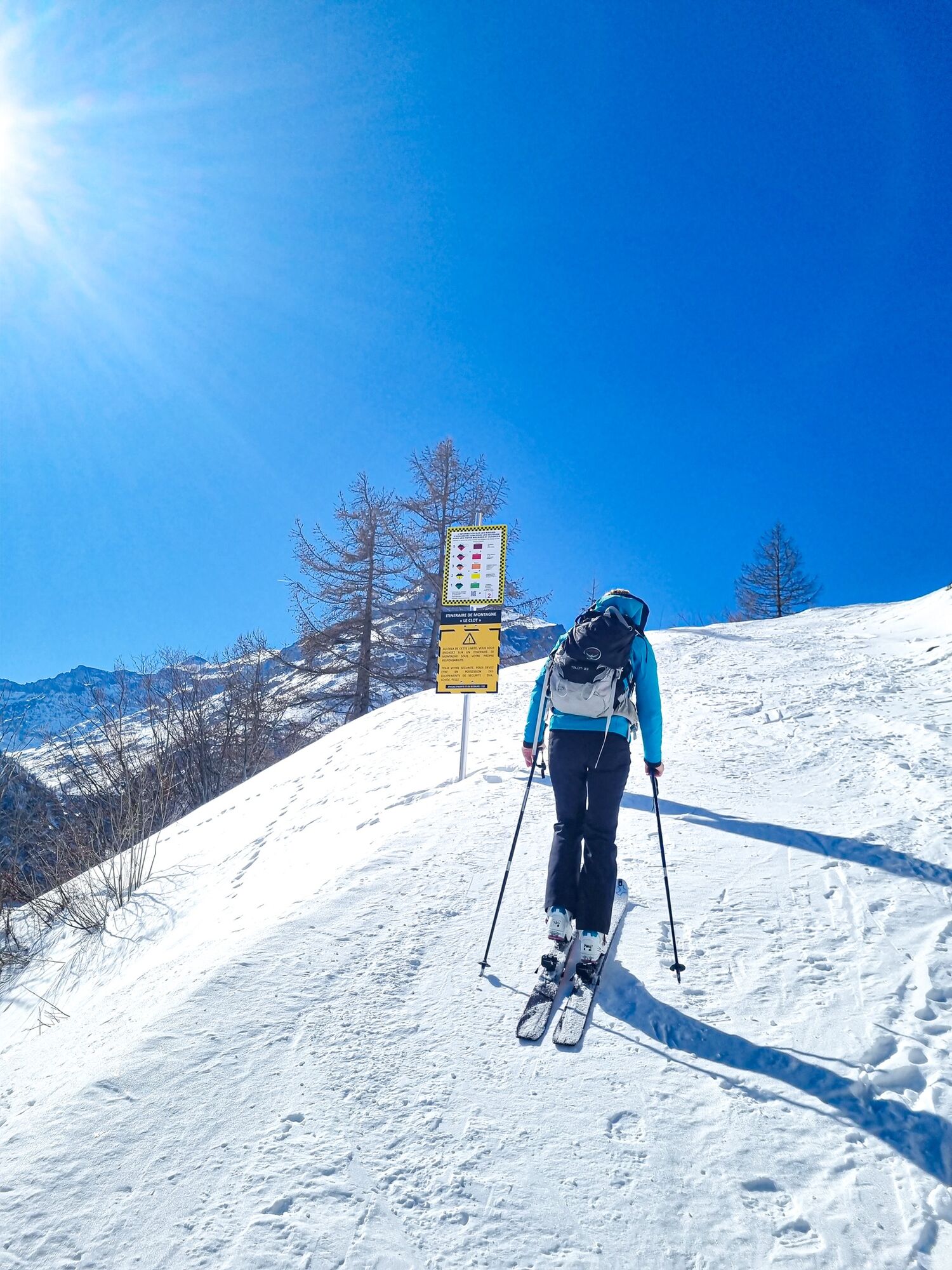
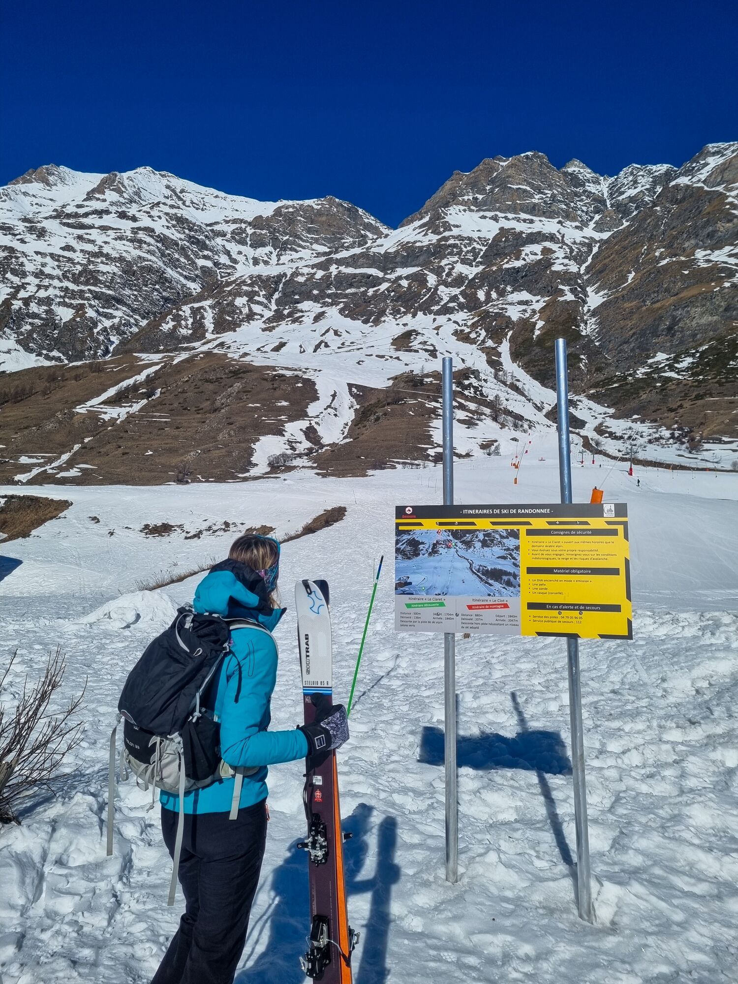
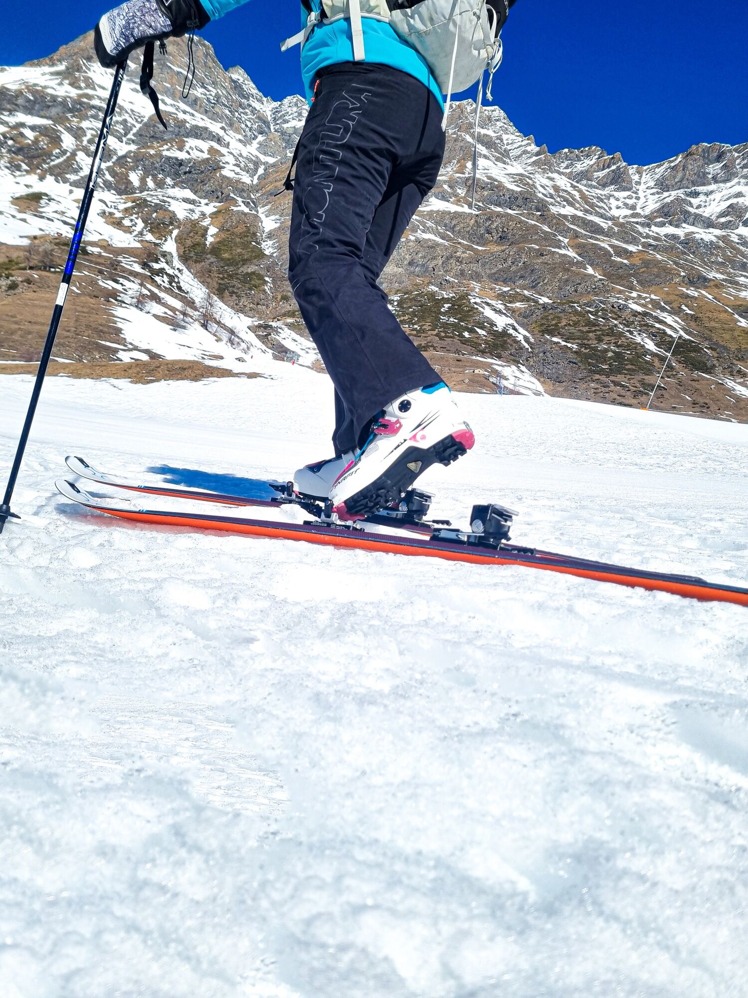
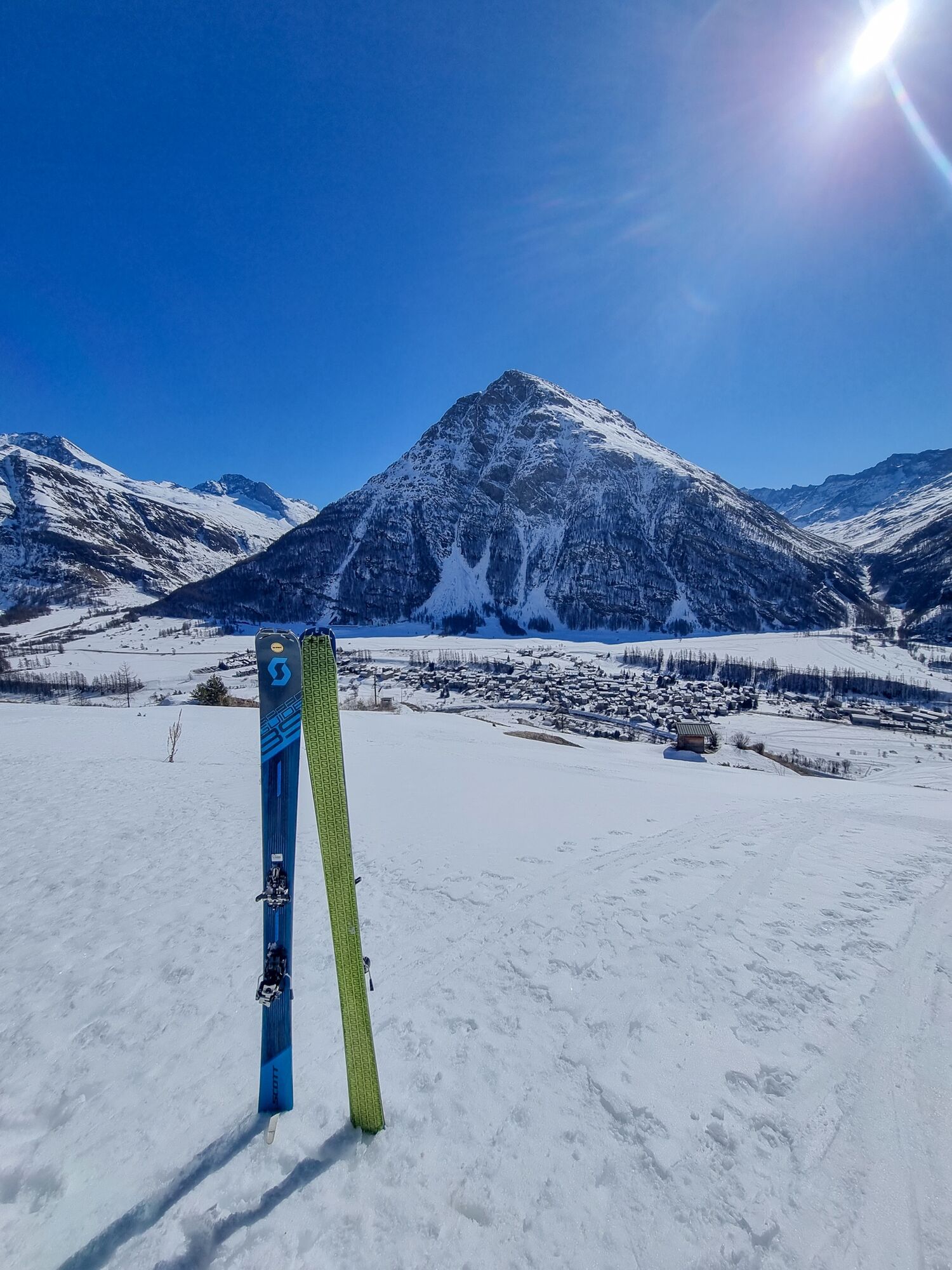
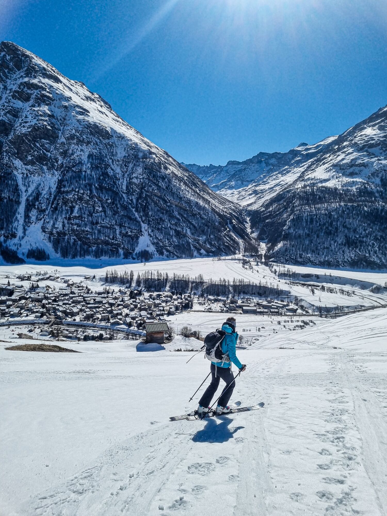
Le Clot ski touring itinerary
ťažké
Získajte túto prehliadku v mobilnom telefóne
Le Clot ski touring itinerary
ťažké
Skitour
1,39
km
Naskenujte kód QR a spustite navigáciu v aplikácii bergfex

Turistika a stopovanie


Le Clot ski touring itinerary
ťažké
Vzdialenosť
1,39
km
Trvanie
00:46
h
Ascent
310
hm
Hladina mora
1 710 -
2 034
m
Stiahnutie skladby
Le Clot ski touring itinerary
ťažké
Skitour
1,39
km
Before you commit, find out about the weather conditions, snow and avalanche risks.
Mandatory safety equipment:
-A transceiver switched on in "emission" mode
-A shovel
-A probe
- A helmet (recommended).
When...
Opis
Before you commit, find out about the weather conditions, snow and avalanche risks.
Mandatory safety equipment:
-A transceiver switched on in "emission" mode
-A shovel
-A probe
- A helmet (recommended).
When you arrive, remember to put your bindings and shoes back in the downhill position and remove the skins.
In the event of an alert and emergency, contact the public emergency service on 112.
Trasa
Autor
Poskytuje Haute Maurienne Vanoise Tourisme
Prehliadku Le Clot ski touring itinerary zabezpečuje outdooractive.com.

Informácie o trase
Geologické zaujímavosti
Áno
Bezpečnostné pokyny
In case of emergency, dial 112
Informácie o príchode
Príchod
Consider carpooling
Parkovanie
Parking near the starting point
Ďalšie informácie a tipy
Ďalšie informácie
APIDAE Tourism data updated on 11/02/2022 by "Haute Maurienne Vanoise Tourisme".
An error in this record? Write to the owner recalling these references:
Record name: Le Clot ski touring route | Record ID: 6031831 | URL (link) of this Outdooractive page.
Zatiaľ žiadne recenzie
Obľúbené výlety v okolí
-
5,0
The Grand Méan lake via the Evettes circus
ťažkéTuristika 13,6 km -
5,0
BALME Arnas Ring - Pian della Mussa
ťažkéTuristika 13,6 km -
little 'Haute-Maurienne Vanoise' circuit
ťažkéCestný bicykel 32,0 km -
5,0
Alta Via delle Valli di Lanzo | Stage 4 Rifugio Citt di Ciri - Rifugio Cibrario
ťažkéTuristika 12,0 km -
The White Lake
svetloTuristika 4,42 km -
Hike from the Avérole refuge through the hamlet
strednáTuristika 9,36 km -
Col de l'Iseran from Modane
ťažkéCestný bicykel 59,5 km -
Col du Mont Cenis from Lanslebourg
ťažkéCestný bicykel 9,84 km -
5,0
Goldtoni - Alpenbogen A068 Refuge de la Leisse-Termignon Val Cenis
strednádiaľková pešia trasa 28,7 km -
Tour della Bessanese
ťažkédiaľková pešia trasa 41,1 km
Turistika a stopovanie

Viac ako 550.000 návrhov výletov, podrobné mapy a intuitívny plánovač trás robia z aplikácie povinnú výbavu pre všetkých nadšencov prírody.

Nenechajte si ujsť ponuky a inšpiráciu na ďalšiu dovolenku
Prihlásiť sa k odberu noviniek
Chyba
Vyskytla sa chyba. Prosím, skúste to znova.
Ďakujeme za vašu registráciu
Vaša e-mailová adresa bol pridaný do poštového zoznamu.
Zájazdy po celej Európe
Rakúsko
Švajčiarsko
Nemecko
Taliansko
Slovinsko
Francúzsko
Holandsko
Belgicko
Poľsko
Lichtenštajnsko
Česko
Slovensko
španielsko
Hrvaška
Bosna a Hercegovina
Luxembursko
Andorra
Portugalsko
Island
Spojené kráľovstvo
Írsko
Grécko
Albánsko
Severné Macedónsko
Malta
Nórsko
Čierna Hora
Moldavsko
Kosovo
Maďarsko
San Maríno
Rumunsko
Estónsko
Lotyšsko
Bielorusko
Cyprus
Litva
Srbsko
Bulharsko
Monako
Dánsko
Švédsko
Fínsko