


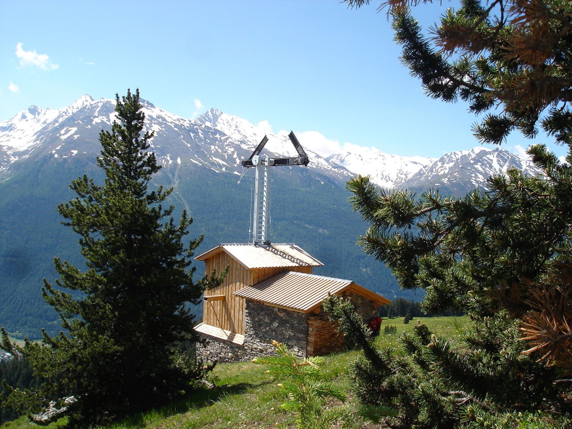
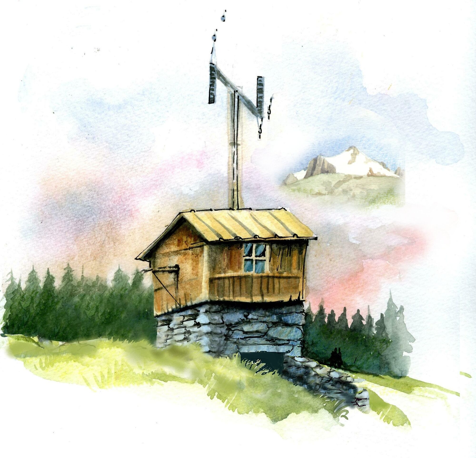
Walking tour of the Roche Bleue Chappe telegraph station


There were three of them in Maurienne, and each post had its own name.
On this surprising walk, you'll come near the monolith, that iconic limestone
giant. Picture this: cabins positioned every 10 kilometres...
There were three of them in Maurienne, and each post had its own name.
On this surprising walk, you'll come near the monolith, that iconic limestone
giant. Picture this: cabins positioned every 10 kilometres between Paris
and Venice. At the heart of this enchanting forest dotted with Scots pines,
imagine the exchanges of visual signals between Mollard Fleury in Sardières,
Courberon in Avrieux and Plan de l’Ours in Saint-André.
To get a better grasp of how this ingenious system worked, visit the other
two sites. Easily accessible, they're suitable for all ages. Want to find out
more about the fascinating local heritage and traditions? There are weekly
guided tours throughout the summer. A brochure is available at tourist offices.

To guide you in the field, consult the "step-by-step" directional diagram provided in pdf.
The duration of hiking trails is calculated using reference paces: 300 m/h ascent, 500 m/h descent and 4 km/h on the flat.
As hazards may occur at any time on the routes, the GPX tracks provided are not contractual. They are given for information only. Riders use them at their own risk, depending on their level of technological proficiency and their understanding of the terrain.
Webové kamery z prehliadky
Obľúbené výlety v okolí
-
5,0
BARDONECCHIA Colle Sommeiller
strednáMountainbike 25,4 km -
Refuge du Fond d'Aussois - a wild valley in the Vanoise - 2-day hike
svetloTuristika 9,24 km -
The White Lake
svetloTuristika 4,42 km -
Col du Mont Cenis from Lanslebourg
ťažkéCestný bicykel 9,84 km -
Sentier pédestre des Sculptures - Land Art Montagne
svetloTematická trasa 5,16 km -
Col du Mont Cenis from Modane
ťažkéCestný bicykel 34,8 km -
BARDONECCHIA Rochemolles Dam - Scarfiotti Refuge
strednáTuristika 7,77 km -
3,0
Colle Sommellier Bardonecchia, Piemonte/Italia
strednáTuristika 14,0 km -
Little ascent of Plan d'Aval
ťažkéCestný bicykel 6,37 km -
4. Day
svetloTuristika 11,0 km
Turistika a stopovanie


Nenechajte si ujsť ponuky a inšpiráciu na ďalšiu dovolenku
Vaša e-mailová adresa bol pridaný do poštového zoznamu.