



Hiking on the foot of the Grand Colombier

Úroveň náročnosti: T1
Follow the stickers PDC.


Áno
It is recommended to be equipped with good shoes and enough water.
The hiking circuit follows the departmental road D904 for a few hundred meters; we recommend being vigilant with children on this section.
Defective markings, incidents/security issues, conflicts of use, illegal dumping? : locate and share the encountered problem on the national alert system through the SURICATE app or via the site https://sentinelles.sportsdenature.fr/
It is possible to reach Artemare via the D904 through Virieu-le-Grand from the southwest and from the west via Culoz.
It is possible to reach the village of Artemare by taking bus 145 between Belley and Virieu le Grand. The Virieu-le-Grand station is located on the Lyon - Geneva railway line.
For this hike, please park in the lot near the community hall, along the stadium (a 5-minute walk from the Vaugrais campsite). Do not park in front of the entrance to the Le Vaugrais campsite in Cerveyrieu, nor in front of the household waste containers.
T1
APIDAE Tourism data updated on 11/04/2023 by "Office de Tourisme Bugey Sud Grand Colombier".
An error on this sheet? Write to the owner mentioning these references:
Sheet name: Randonnée du Pied du Grand Colombier | Sheet ID: 167091 | URL (link) of this Outdooractive page.
For refreshments and snacks after the hike, we recommend the restaurants Le Séran and Les Caudalies in Artemare.
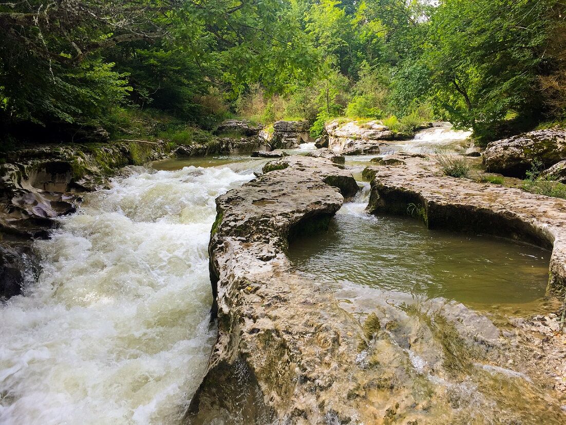
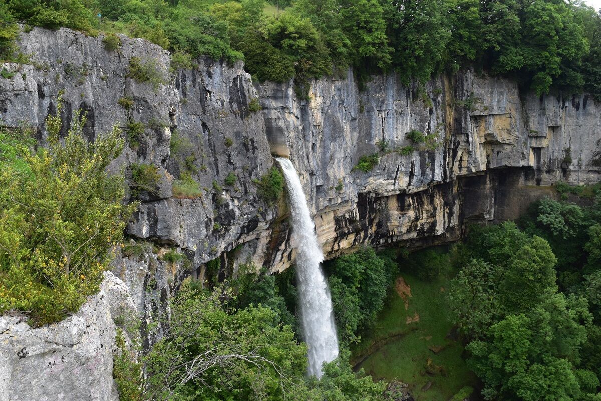
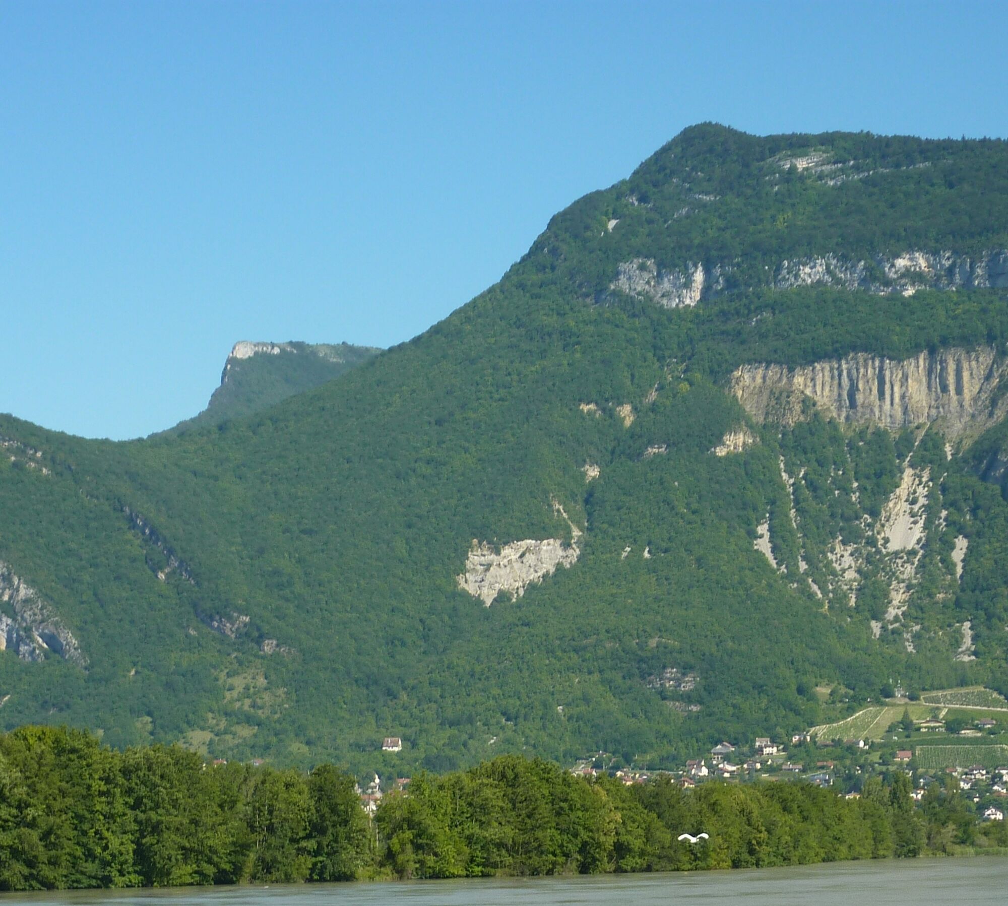
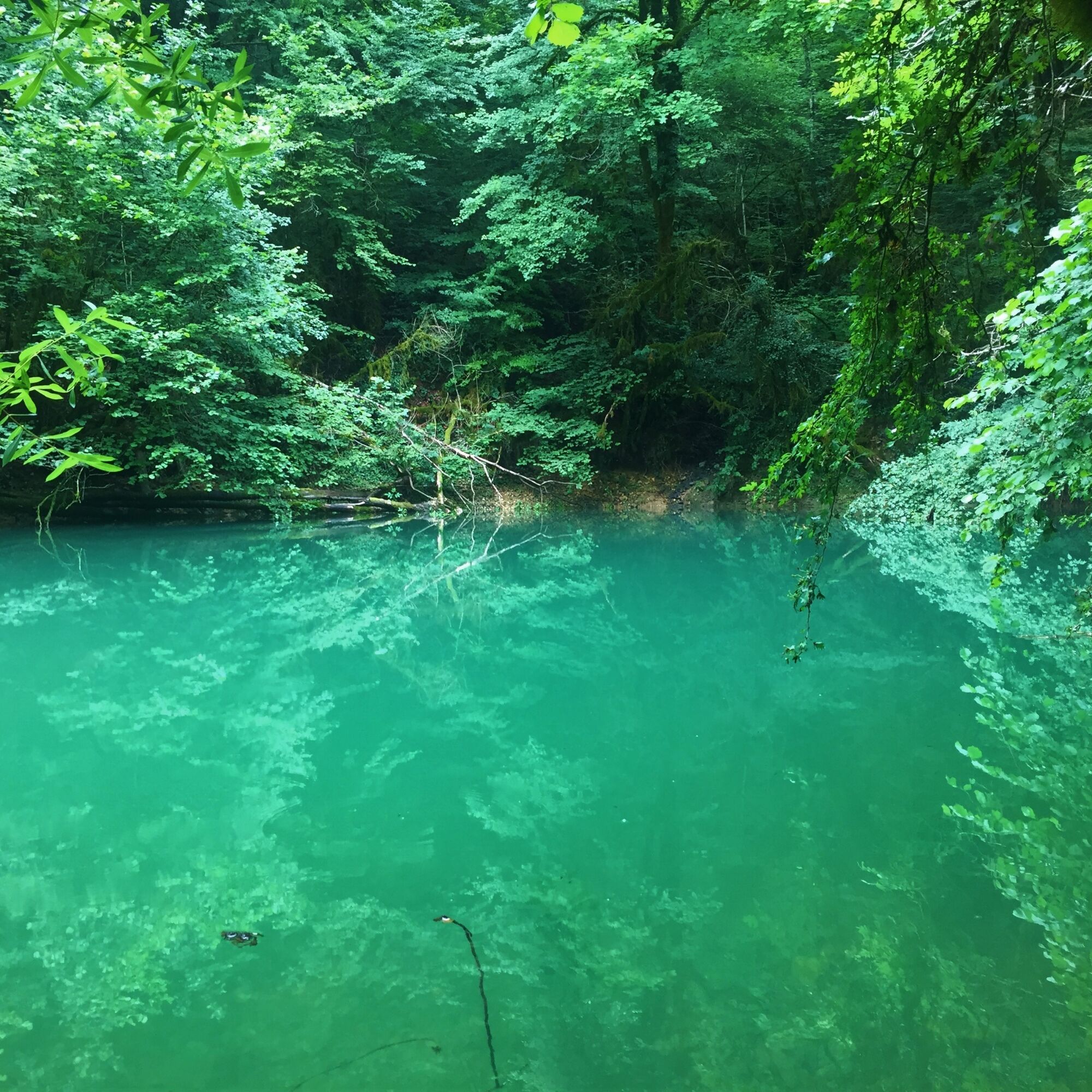
Long hike at the foot of the Bugey giant along the Séran to discover the southern part of Valromey.
This route is part of the "Ain Outdoor" selection.
Obľúbené výlety v okolí
-
4,0
Hike: Golet au loup
svetloTuristika 7,11 km -
3,0
Hike: on the ridge of the Grand Colombier (circuit des crêtes)
strednáTuristika 11,3 km -
1,0
Hike of the Clairefontaine waterfall
svetloTuristika 5,46 km -
Hike: Gorges de Thurignin
ťažkéTuristika 14,2 km -
5,0
Hike: Barterand lake
svetloTuristika 7,23 km -
Cycling tour : Marshes and vineyards in Bugey
svetloCestný bicykel 33,1 km -
Hike: A wolf life.
strednáTuristika 7,22 km -
3 day-hike in Jura: hiking trails through Plateau de Retord and Grand Colombier
ťažkéTuristika 50,9 km -
Hike: mountain pastures of the Grand Colombier
strednáTuristika 5,23 km -
Hike of the Grand Colombier starting from Munet
ťažkéTuristika 16,0 km
Turistika a stopovanie


Nenechajte si ujsť ponuky a inšpiráciu na ďalšiu dovolenku
Vaša e-mailová adresa bol pridaný do poštového zoznamu.


