







The forest of Flachère - Beaujolais - Légny
You'll love:
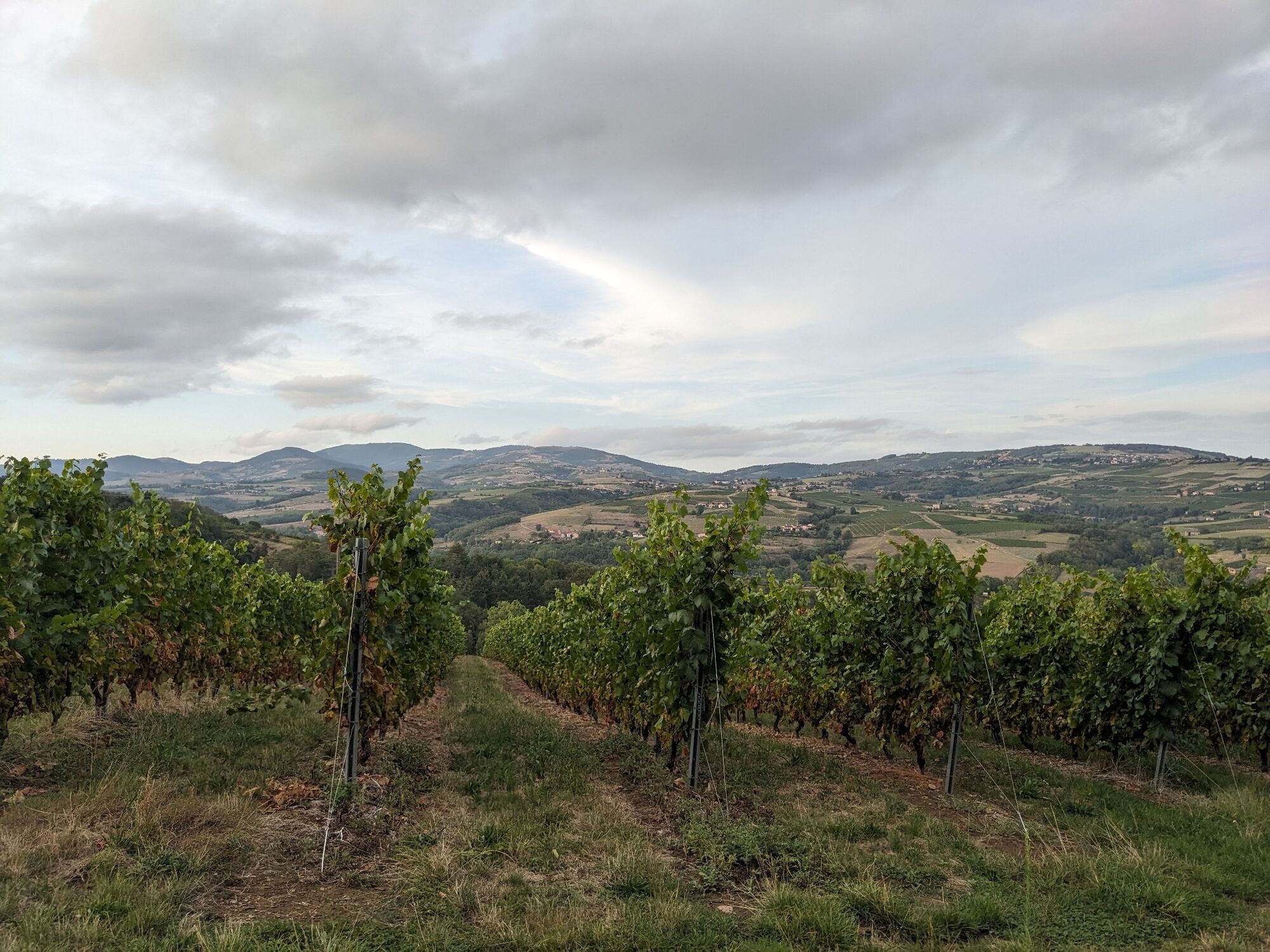
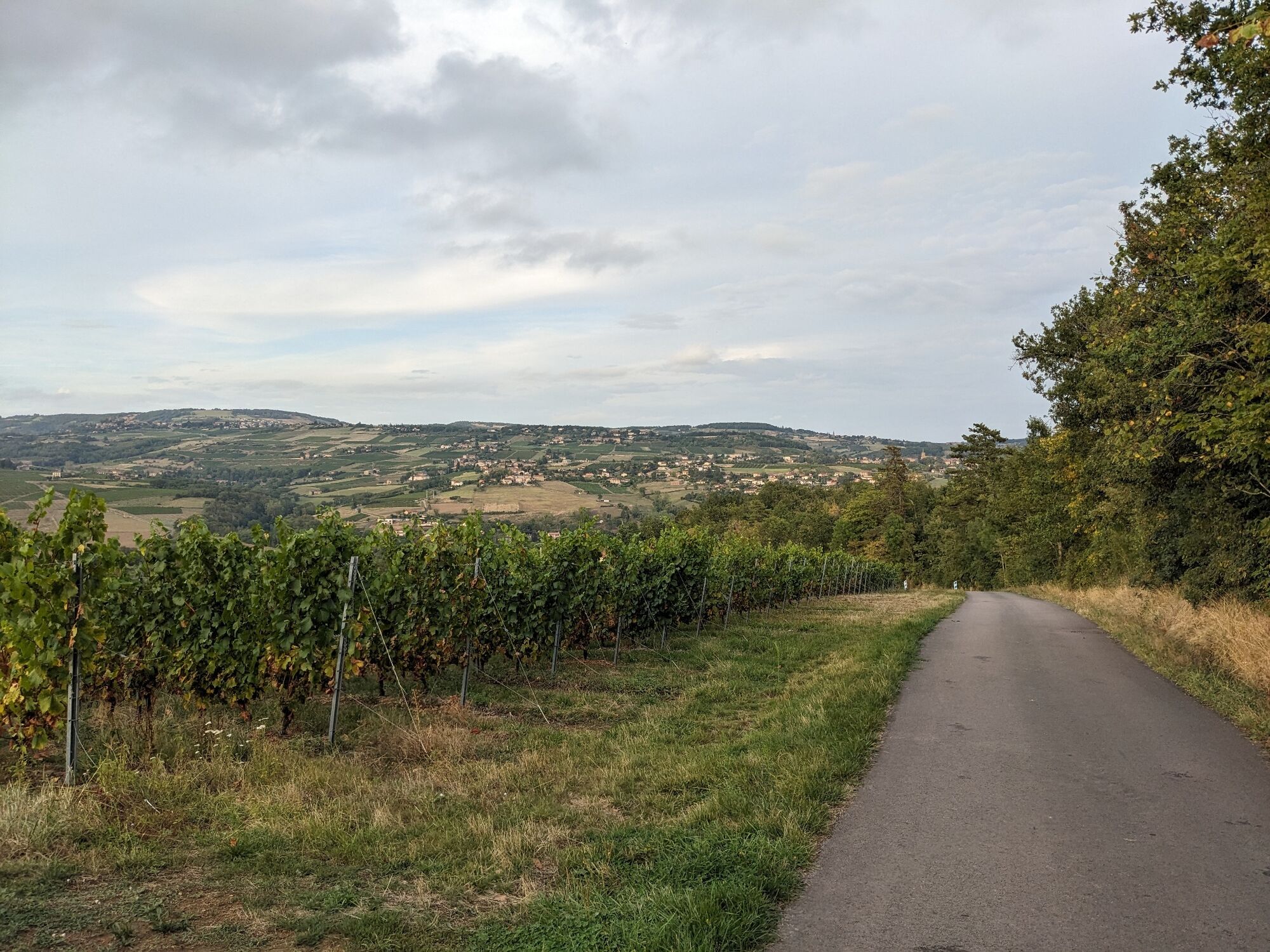
• The small country roads and forest paths for leisurely jogs.
• An easy walk that can be planned impromptu as soon as the weather is nice.
• An inspiring biotope in terms of observation and...
• The small country roads and forest paths for leisurely jogs.
• An easy walk that can be planned impromptu as soon as the weather is nice.
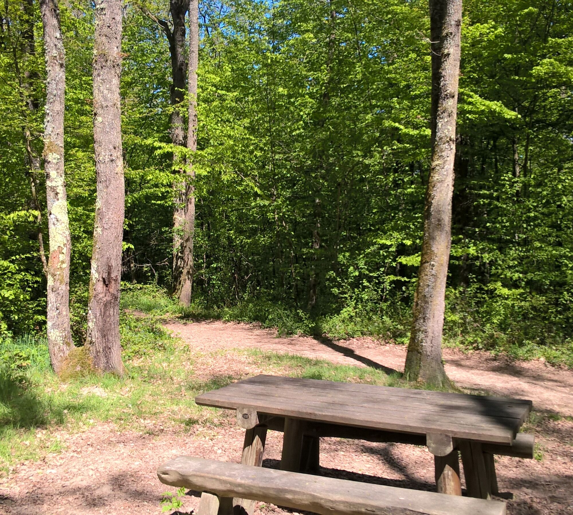
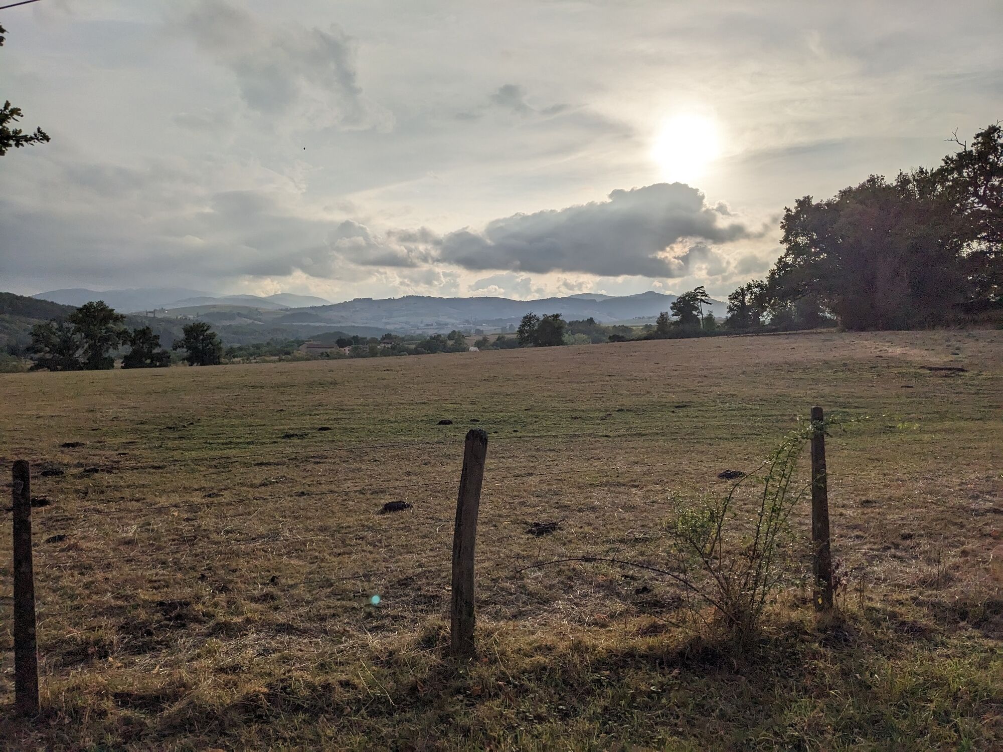
• An inspiring biotope in terms of observation and imagination: listen to the songs of amphibians by the pond, or along the paths, collect what nature has to offer from the ground to create a work of land art.
• In autumn, the sound of dead leaves rustling under the walkers' feet adds to the poetic sound of the walk.
A bit of culture:
Walk under the high forest
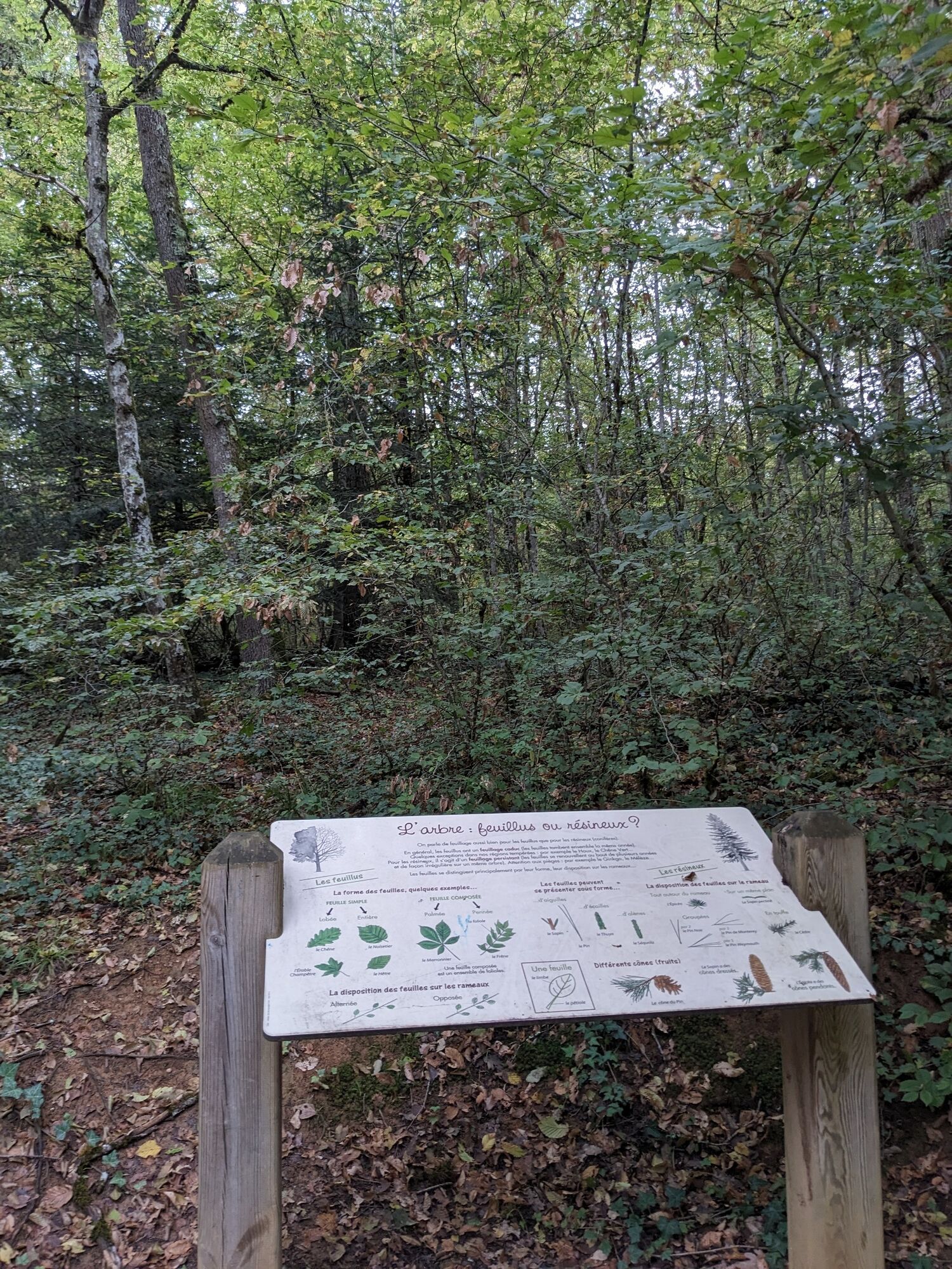
La Flachère is a high forest, a forest in which the trees have reached their final stage of growth. The oak, a plant species revered in many pagan beliefs, is the dominant species of the area. Its lobed leaves make it easily recognizable. La Flachère is one of the rare maintained oak groves in Beaujolais.


Áno
Set off hiking with a light heart
Check the weather Suitable shoes and clothing A light backpack A basic first aid kit Water and food supplies Go at your own pace Read maps, prepare your routeEmergency phone numbers :
European emergency number: 112
SAMU (medical emergency): 15
Police emergency: 17
Firefighters: 18
Emergency number for deaf and hard-of-hearing people: 114
Wildlife care center L’Hirondelle : 04 74 05 78 85
French Office for Biodiversity : 04 74 69 49 32
40 minutes from Lyon, take the A6 motorway.
From Lyon Part-Dieu station, take the TER towards Tours and get off at Bois d'Oingt-Légny station. Then continue on foot for 20 minutes.
Parking Les Ponts Tarrets
Found an error on this sheet? Write to the owner quoting these references:
Sheet name: La forêt de la Flachère - Beaujolais - Légny | Sheet ID: 6031303 | URL (link) of this Outdooractive page.
Obľúbené výlety v okolí
-
La forêt de la Cantinière - Beaujolais - Saint-Cyr-le-Châtoux
svetloTuristika 11,3 km -
Porte des Pierres Dorées - Beaujolais - Jarnioux
svetloTuristika 14,8 km -
Regina, Duroni, Sweetheart - Monts du Lyonnais - Bessenay
svetloTuristika 13,6 km -
Circuit de découverte du patrimoine
svetloTuristika 2,19 km -
Route around the Tourette
svetloTuristika 10,6 km -
From Oingt to Col du Châtoux - Beaujolais - Oingt - Val d'Oingt
ťažkéTuristika 15,1 km -
Malá túra na crêt d'Arjoux - Monts du Lyonnais - Saint-Julien-sur-Bibost
svetloTuristika 4,93 km -
The Panoramique
svetloTuristika 7,56 km -
The forest of Brou - Beaujolais - Dième
svetloNordic Walking 10,5 km -
The golden stones - Between Pierres Dorées and Val d’Azergues - Loop 7.4
ťažkéCestný bicykel 57,6 km
Turistika a stopovanie


Nenechajte si ujsť ponuky a inšpiráciu na ďalšiu dovolenku
Vaša e-mailová adresa bol pridaný do poštového zoznamu.





