


Lake Savine


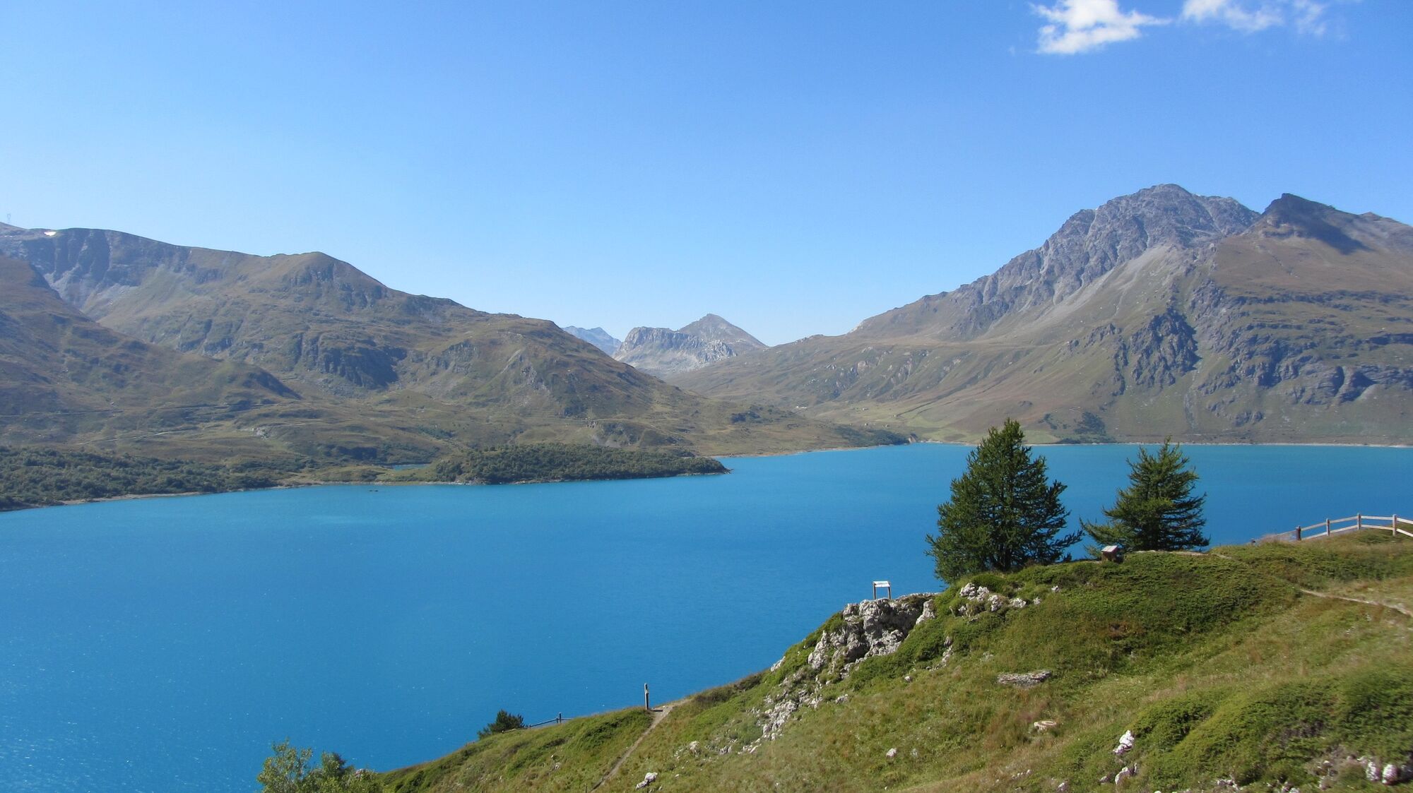
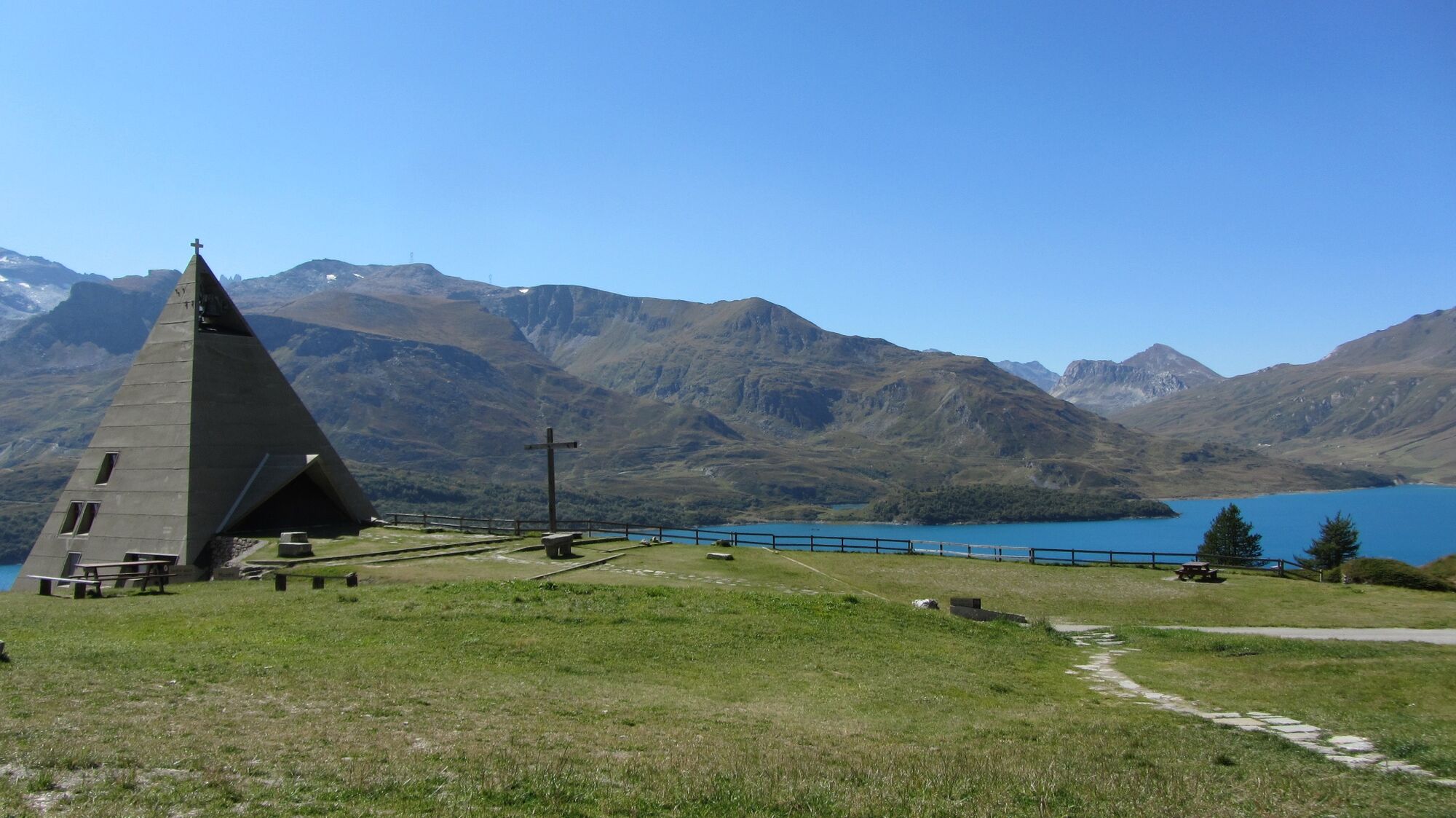
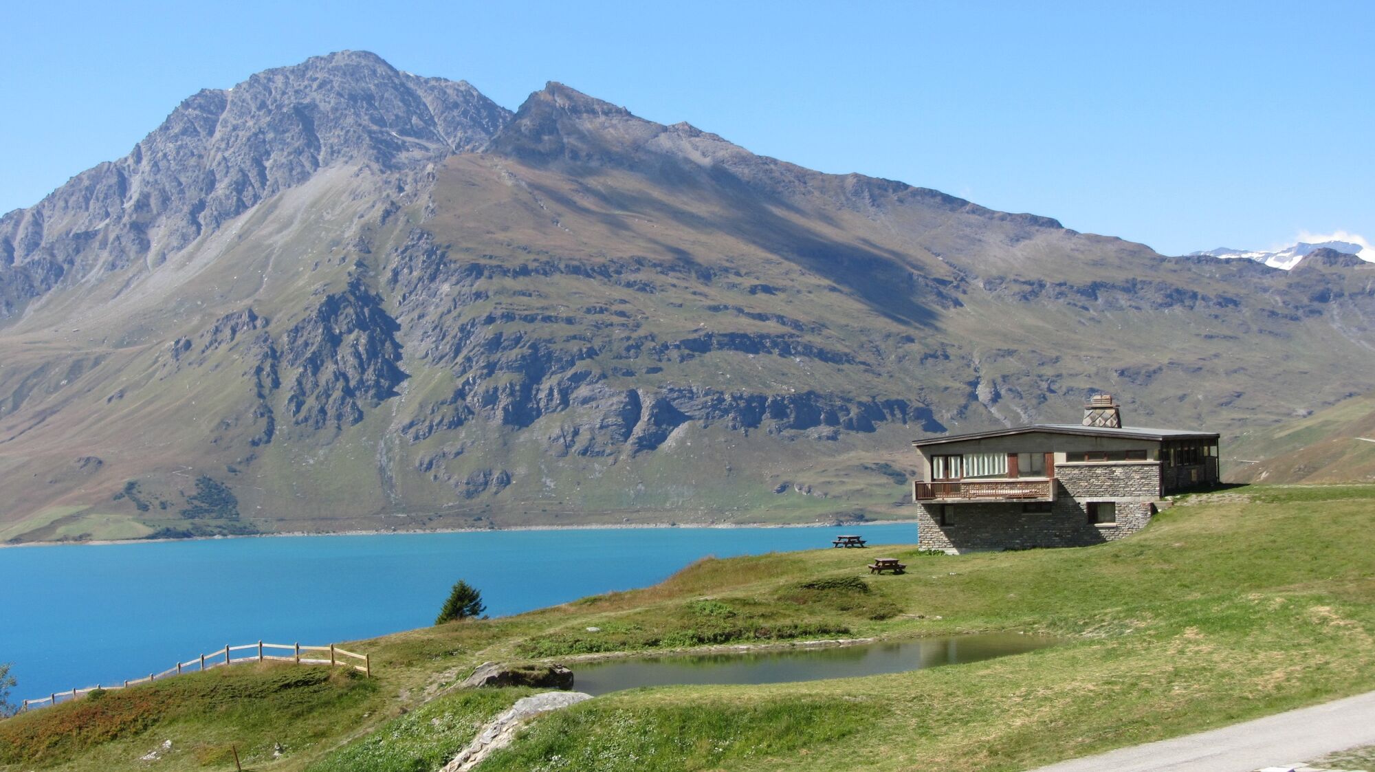
The magnificent Mont-Cenis plateau with its turquoise lake opens up to the south onto flower-filled mountain pastures where numerous herds graze.
Alpine farms offering delicious cheeses and blueberry jams,...
The magnificent Mont-Cenis plateau with its turquoise lake opens up to the south onto flower-filled mountain pastures where numerous herds graze.
Alpine farms offering delicious cheeses and blueberry jams, a warm welcome at the Petit Mont-Cenis refuge and its famous "Polenta/Saucisse" which delights the taste buds. One comes from afar to taste it!
Production area of Beaufort PDO. The bells of the Tarines and Abondance cows and the whistling of the marmots accompany the hiker from the Petit Mont-Cenis pass in the Savine valley down to the lake.
The Hannibal bivouac (named after the Carthaginian general who passed through here with his elephants more than 2000 years ago to attack Rome) at the Col Clapier on the Italian border, offers shelter in bad weather or for a night under the stars in the middle of nature.
Disconnection guaranteed, calm and serenity.

To guide you in the field, consult the "step-by-step" directional diagram provided in pdf.
Áno
Obľúbené výlety v okolí
-
5,0
BARDONECCHIA Colle Sommeiller
strednáMountainbike 25,4 km -
5,0
BARDONECCHIA Decauville
svetloTuristika 7,29 km -
4,7
Rocciamelone partedjo dalla Riposa. Mompantero, Piemont/Italien
strednáTuristika 10,6 km -
BARDONECCHIA Decauville Loop - Scarfiotti Refuge
svetloMountainbike 34,0 km -
Col du Mont Cenis from Lanslebourg
ťažkéCestný bicykel 9,84 km -
BARDONECCHIA Forte Foens - Galleria dei Saraceni - Forte Pramand
strednáMountainbike 34,3 km -
Sentier pédestre des Sculptures - Land Art Montagne
svetloTematická trasa 5,16 km -
Col du Mont Cenis from Modane
ťažkéCestný bicykel 34,8 km -
BARDONECCHIA Rochemolles Dam - Scarfiotti Refuge
strednáTuristika 7,77 km -
BARDONECCHIA Frejusia Basins - Decauville - Rochemolles Dam
svetloMountainbike 7,54 km
Turistika a stopovanie


Nenechajte si ujsť ponuky a inšpiráciu na ďalšiu dovolenku
Vaša e-mailová adresa bol pridaný do poštového zoznamu.