
Tour 31 Points de vues
ťažké
Získajte túto prehliadku v mobilnom telefóne
Tour 31 Points de vues
ťažké
Turistika
20,55
km
Naskenujte kód QR a spustite navigáciu v aplikácii bergfex


Turistika a stopovanie




Tour 31 Points de vues
ťažké
Vzdialenosť
20,6
km
Trvanie
06:00
h
Ascent
762
hm
Hladina mora
444 -
893
m

Naviguj sa počas prehliadky v aplikácii
Nainštalujte si aplikáciu zadarmo a sledujte trasu vďaka GPS navigácii a sledovaniu polohy.
Využite službu „ bergfex “ už teraz v aplikácii
Naskenuj QR kód pomocou fotoaparátu
Ak máte aplikáciu nainštalovanú, obsah sa otvorí priamo. Ak aplikáciu ešte nemáte, budete presmerovaní na stránku, kde si ju môžete bezplatne stiahnuť.
Stiahnutie skladby
Tour 31 Points de vues
ťažké
Turistika
20,55
km
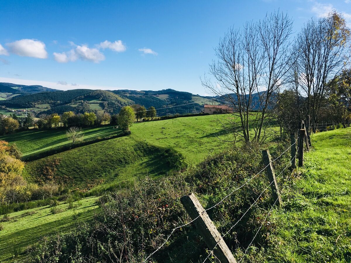
At the end of the circuit, view of the railway loop, which allows trains to gain 43 m in altitude without exceeding the 11 mm per meter gradient. Beware, stony descent between the Bois des Princes and...
Opis
At the end of the circuit, view of the railway loop, which allows trains to gain 43 m in altitude without exceeding the 11 mm per meter gradient. Beware, stony descent between the Bois des Princes and the Croix Baleu. At km 8.5, at the post ʺPlat of Mollardsʺ, possibility to return to the village (2.4 km).
Average pace of 3.5km/h.
Average pace of 3.5km/h.
Trasa
Église Saint-Nizier
(520 m)
Miesto uctievania
0,0 km
Chevenal
(523 m)
Zúčtovanie
0,7 km
Chavanne
(491 m)
Zúčtovanie
3,6 km
Chevelas
(807 m)
Zúčtovanie
7,0 km
La Collonge
(478 m)
Zúčtovanie
18,2 km
Les Petits Trèves
(432 m)
Zúčtovanie
19,7 km
Église Saint-Nizier
(520 m)
Miesto uctievania
20,3 km
Trasa
Tour 31 Points de vues
ťažké
Turistika
20,55
km
Église Saint-Nizier
(520 m)
Miesto uctievania
0,0 km
Saint-Nizier-d'Azergues
(519 m)
Dedina
0,0 km
Au Coeur du Village
(518 m)
Reštaurácia
0,0 km
Chevenal
(523 m)
Zúčtovanie
0,7 km
Chavanne
(491 m)
Zúčtovanie
3,6 km
Les Forêts
(644 m)
Zúčtovanie
5,0 km
Chevelas
(807 m)
Zúčtovanie
7,0 km
Le Cantin
(559 m)
Zúčtovanie
17,2 km
La Collonge
(478 m)
Zúčtovanie
18,2 km
Le Montcenis
(471 m)
Zúčtovanie
18,8 km
Les Petits Trèves
(432 m)
Zúčtovanie
19,7 km
Au Coeur du Village
(518 m)
Reštaurácia
20,3 km
Église Saint-Nizier
(520 m)
Miesto uctievania
20,3 km
Saint-Nizier-d'Azergues
(519 m)
Dedina
20,5 km


Zatiaľ žiadne recenzie
Obľúbené výlety v okolí
-
La forêt de la Cantinière - Beaujolais - Saint-Cyr-le-Châtoux
svetloTuristika 11,3 km -
De l’Aze à l’Ergues - Beaujolais Vert - Claveisolles
svetloTuristika 13,0 km -
From Oingt to Col du Châtoux - Beaujolais - Oingt - Val d'Oingt
ťažkéTuristika 15,1 km -
Tour 4 From Tourvéon to Roche d'Ajoux
ťažkéTuristika 15,8 km -
5,0
B3 Mountain Bike Tour from Beaujeu to St Didier/Beaujeu
ťažkéMountainbike 22,6 km -
The forest of Brou - Beaujolais - Dième
svetloNordic Walking 10,5 km -
Des dégringoules* au vert - Beaujolais - Amplepuis
svetloTuristika 5,13 km -
The golden stones - Between Pierres Dorées and Val d’Azergues - Loop 7.4
ťažkéCestný bicykel 57,6 km -
The Cantinière forest
svetloTematická trasa 2,96 km -
Ma première nuit étoilée - Beaujolais - Tarare
ťažkéTuristika 36,5 km
Turistika a stopovanie

Viac ako 550.000 návrhov výletov, podrobné mapy a intuitívny plánovač trás robia z aplikácie povinnú výbavu pre všetkých nadšencov prírody.

Nenechajte si ujsť ponuky a inšpiráciu na ďalšiu dovolenku
Prihlásiť sa k odberu noviniek
Chyba
Vyskytla sa chyba. Prosím, skúste to znova.
Ďakujeme za vašu registráciu
Vaša e-mailová adresa bol pridaný do poštového zoznamu.
Zájazdy po celej Európe
Rakúsko
Švajčiarsko
Nemecko
Taliansko
Slovinsko
Francúzsko
Holandsko
Belgicko
Poľsko
Lichtenštajnsko
Česko
Slovensko
španielsko
Hrvaška
Bosna a Hercegovina
Luxembursko
Andorra
Portugalsko
Island
Spojené kráľovstvo
Írsko
Grécko
Albánsko
Severné Macedónsko
Malta
Nórsko
Čierna Hora
Moldavsko
Kosovo
Maďarsko
San Maríno
Rumunsko
Estónsko
Lotyšsko
Bielorusko
Cyprus
Litva
Srbsko
Bulharsko
Monako
Dánsko
Švédsko
Fínsko





