






Snowshoeing route: Loop of the 3 villages
Warning: for your safety and the peace of the wildlife, please stay strictly on the path. Please do not leave the area or use the groomed and marked cross-country ski trails intended for skiers.
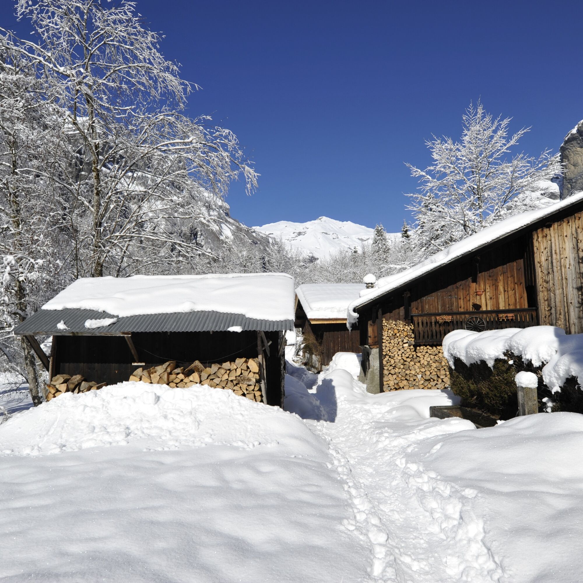
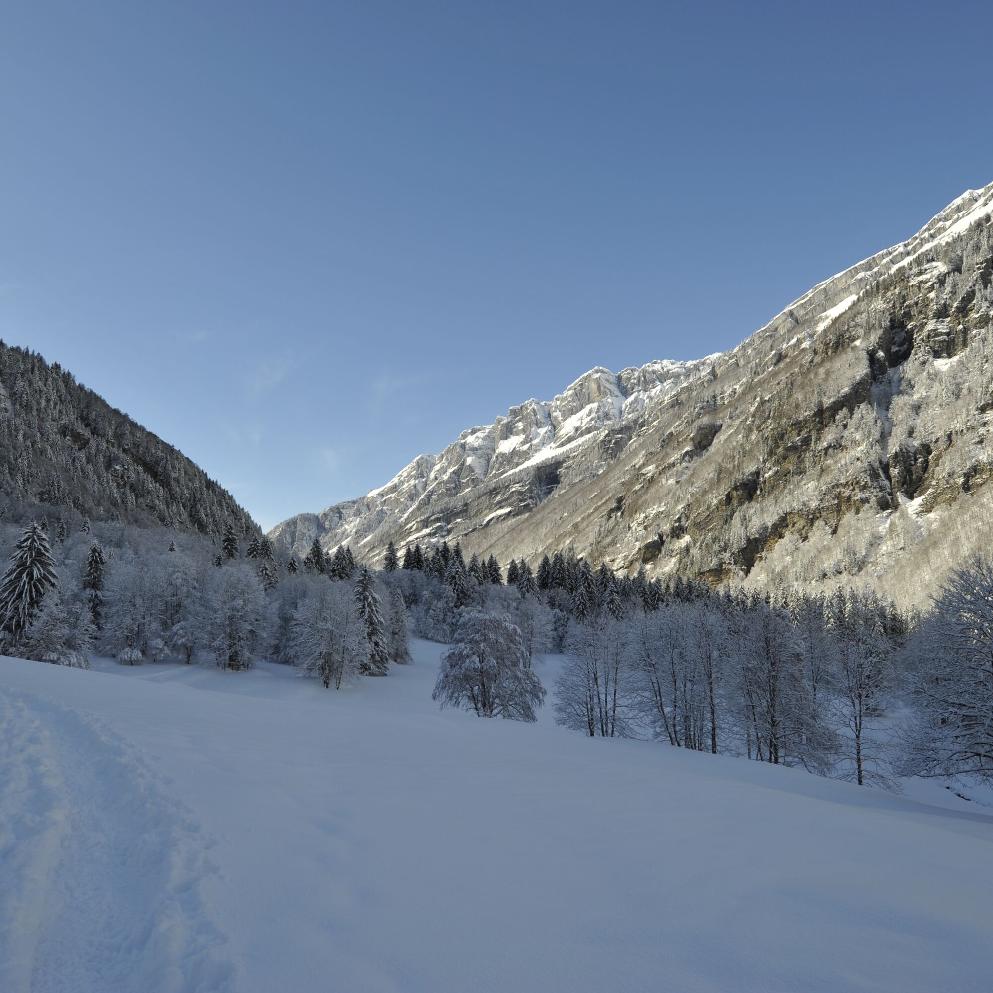
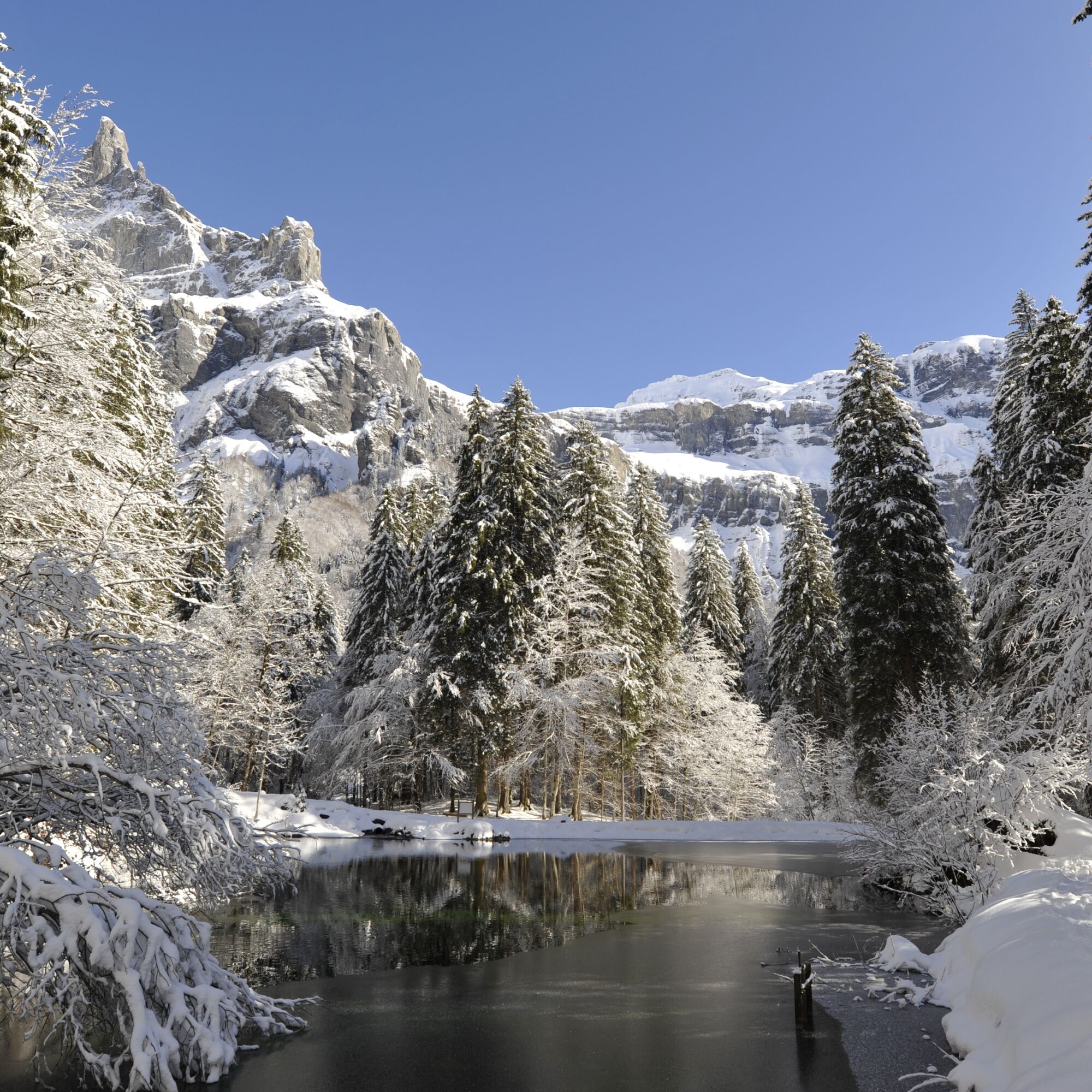

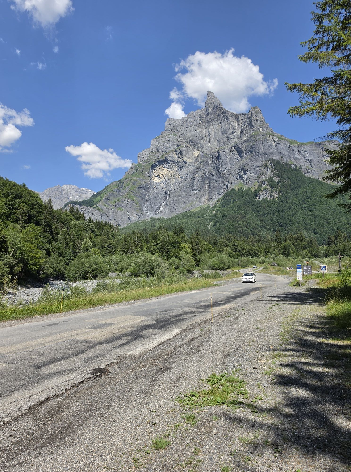
From the parking lot, join the foot of the trail leading to the Fer à Cheval restaurant and before taking it, turn left to the end of the parking lot. Following the snowshoeing markers, head towards the village of Giffrenant via a path that first descends, crossing the Giffre of Fer à Cheval, passing in front of a “ram” (a pumping system that brings water up to the village), then ascending to Giffrenant. Notice the authenticity of the hamlet’s farms and the breathtaking view of the cliffs of the Fer-à-Cheval cirque. From this point, descend by a wide path to the Giffre and the road which you cross. The route then climbs along a beautiful mountain forest and overlooks the cross-country ski trails until entering the second village, Le Pelly. You are at the foot of the imposing rock walls of the cirque stretching between 950 and 2989 m altitude at the Tenneverge peak, the highest point of the site. After crossing the hamlet of Pelly, the trail follows the left bank of the Nant des Pères before crossing it and then going up the right bank near the cross-country ski trails. Then you reach another stream, the Nant des Joathons, which borders the meadows of Frénalay. Following the snowshoeing markers, you arrive at the third village, Le Frénalay. It is a small authentic Savoyard village, with its stone foundations, shingle roofs, and small chapels. After crossing the hamlet, the path gently descends through a vast forest to a clearing and a small pond, then turns to join the left bank of the Giffre and the starting parking lot.
Obľúbené výlety v okolí
-
5,0
Sentier de Salanfe
strednáTuristika 12,8 km -
3,5
Lac d'Emosson - Gorge de la Veudale - Col de la Terrasse - Lac du Vieux Emosson zurück nach Lac d'Emosson
strednáTuristika 14,3 km -
5,0
Circular hike Roc Coupé – Bonavau – Champéry
strednáTuristika 12,1 km -
5,0
Morgins - Col des Portes du Soleil
svetloSkitour 15,2 km -
4,0
Chamonix-Mont-Blanc, Auvergne-Rhône-Alpes/France // B/C
strednáVia ferrata 2,59 km -
4,5
Galerie Défago
svetloTuristika 8,81 km -
5,0
Champéry - Sous Scex
Turistika 2,41 km -
Champéry - Seen von Antème
Turistika 14,8 km -
5,0
Goldtoni - Alpenbogen A060 Refuge Anterne-Chamonix
strednádiaľková pešia trasa 19,6 km -
Mont-Blanc Balcony Trail
strednáTuristika 8,36 km
Turistika a stopovanie


Nenechajte si ujsť ponuky a inšpiráciu na ďalšiu dovolenku
Vaša e-mailová adresa bol pridaný do poštového zoznamu.





