


Ostweg
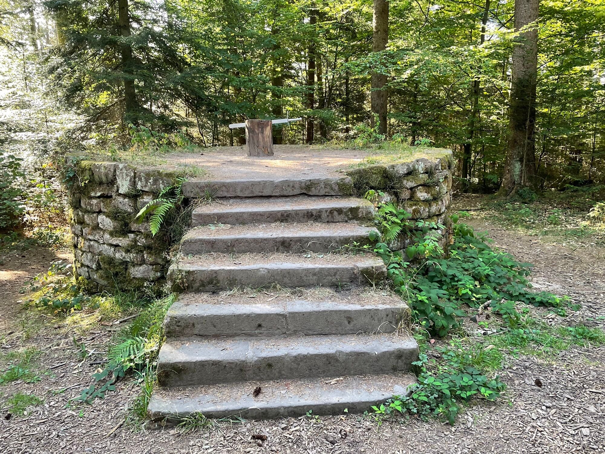
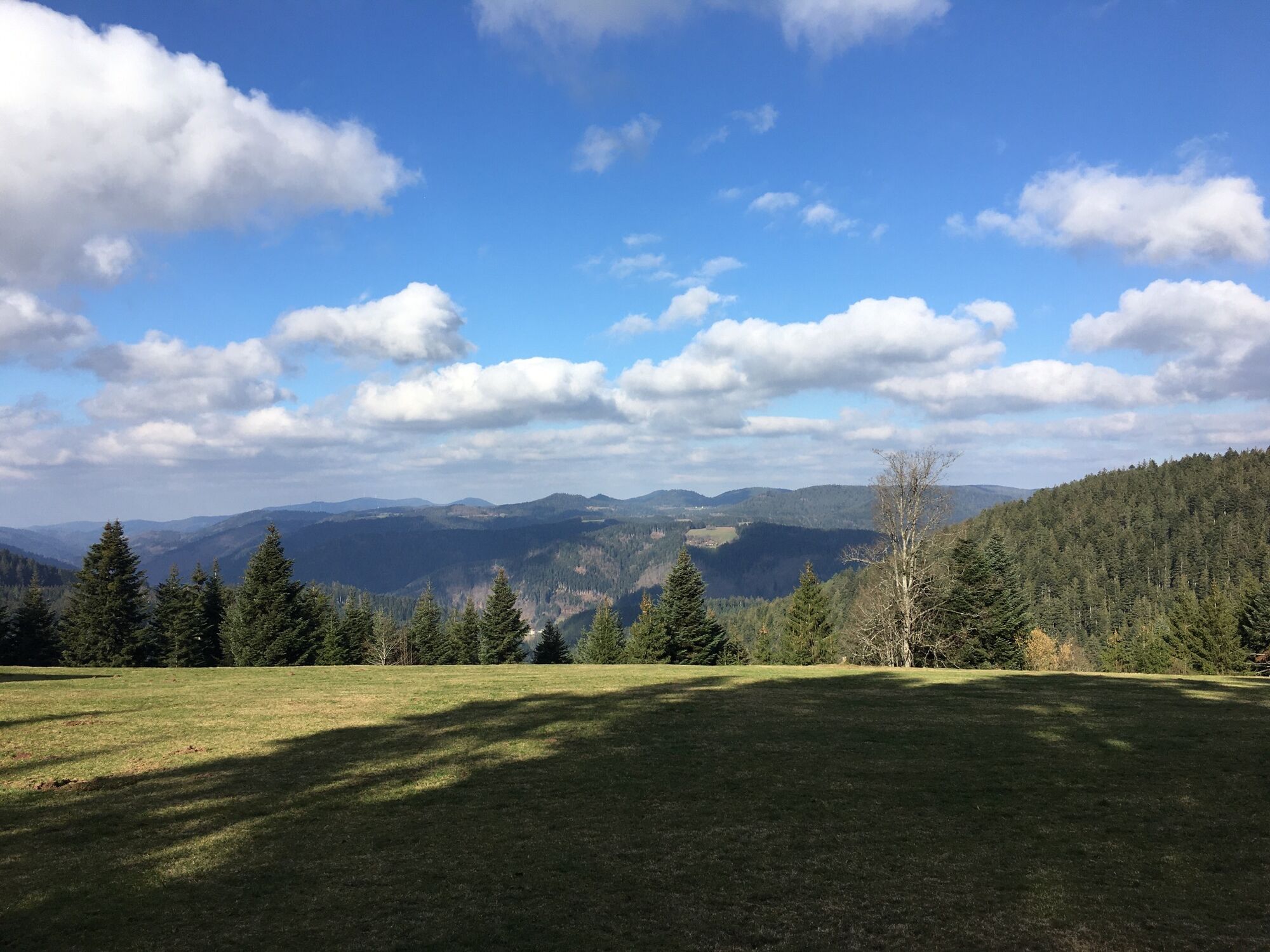
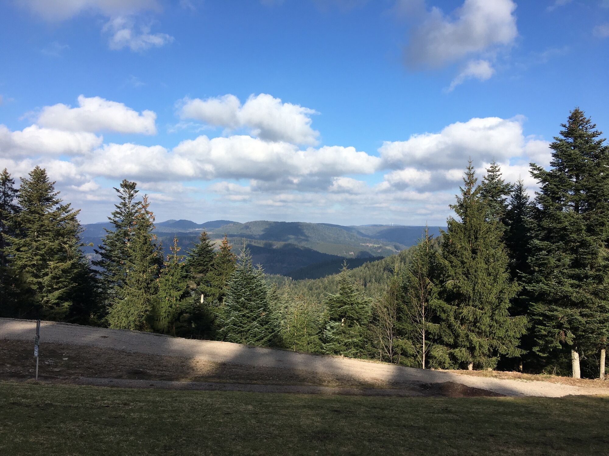
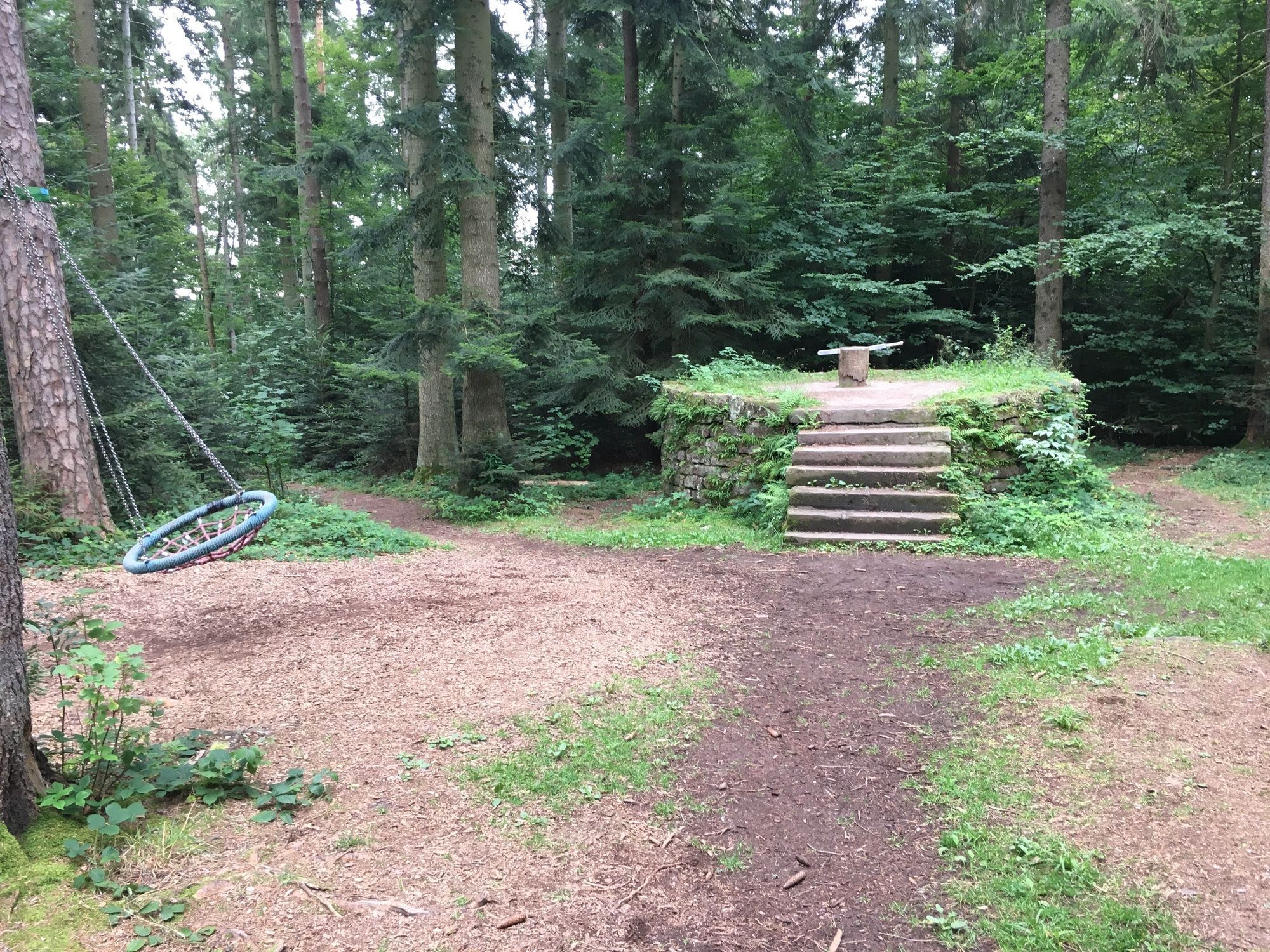
Fotografie našich používateľov
-

 © Bernd NiethammerVytvorené dňa 01.05.2026
 -

 © Tyx DeVytvorené dňa 05.04.2026
 -
 © Tyx DeVytvorené dňa 05.04.2026
 -
 © Rafael JVytvorené dňa 01.03.2026
 -
 © holgerwagVytvorené dňa 24.01.2026
 -
 © holgerwagVytvorené dňa 06.11.2025
 -
 © holgerwagVytvorené dňa 06.11.2025
 -
 © yolanda beckVytvorené dňa 05.09.2025
 -
 © holgerwagVytvorené dňa 20.07.2025
 -
 © holgerwagVytvorené dňa 20.07.2025
 -
 © Sabine EttischerVytvorené dňa 29.05.2025
 -
 © Robert MüllerVytvorené dňa 19.05.2025
 -
 © Robert MüllerVytvorené dňa 19.05.2025
 -
 © Radovan CulicVytvorené dňa 01.05.2025
 -
 © Radovan CulicVytvorené dňa 01.05.2025
 -
 © Radovan CulicVytvorené dňa 01.05.2025
 -
 © nitronoaVytvorené dňa 27.04.2025
 -
 © holgerwagVytvorené dňa 30.03.2025
 -
 © holgerwagVytvorené dňa 30.03.2025
 -

 © Michael ErdmannVytvorené dňa 22.03.2025
 -
 © Michael ErdmannVytvorené dňa 22.03.2025
 -
 © Michael ErdmannVytvorené dňa 22.03.2025
 -
 © Michael ErdmannVytvorené dňa 22.03.2025
 -

 © Apasara ApfelbachVytvorené dňa 30.01.2025
 -
 © Apasara ApfelbachVytvorené dňa 30.01.2025
 -
 © Apasara ApfelbachVytvorené dňa 30.01.2025
 -
 © Apasara ApfelbachVytvorené dňa 30.01.2025
 -

 © Ralf UmmingerVytvorené dňa 07.08.2022
 -
 © Ralf UmmingerVytvorené dňa 07.08.2022
 -
 © Ralf UmmingerVytvorené dňa 07.08.2022
 -
 © Ralf UmmingerVytvorené dňa 03.08.2022
 -
 © Rudolf VogelVytvorené dňa 26.08.2021
 -
 © Rudolf VogelVytvorené dňa 26.08.2021
 -
 © Ralf UmmingerVytvorené dňa 27.02.2021
 -
 © Ralf UmmingerVytvorené dňa 27.02.2021
 -
 © Ralf UmmingerVytvorené dňa 17.08.2019
 -
 © Ralf UmmingerVytvorené dňa 17.08.2019
 -
 © Ralf UmmingerVytvorené dňa 17.08.2019
 -
 © Michael ErdmannVytvorené dňa 22.03.2025
 -
 © Michael ErdmannVytvorené dňa 22.03.2025
 -
 © Karin BrandmeierVytvorené dňa 12.05.2024
 -
 © Karin BrandmeierVytvorené dňa 12.05.2024
 -
 © Bernd NiethammerVytvorené dňa 19.04.2026
 -
 © Heidi SchmidVytvorené dňa 30.04.2025
 -
 © Heidi SchmidVytvorené dňa 30.04.2025
 -
 © Heidi SchmidVytvorené dňa 30.04.2025
 -
 © Mark PfeiferVytvorené dňa 08.09.2024
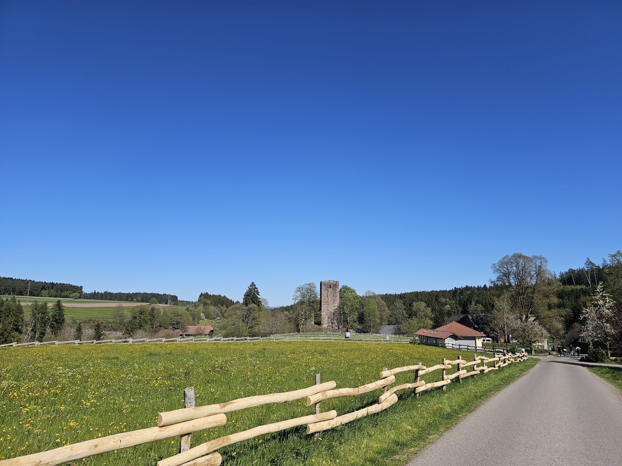
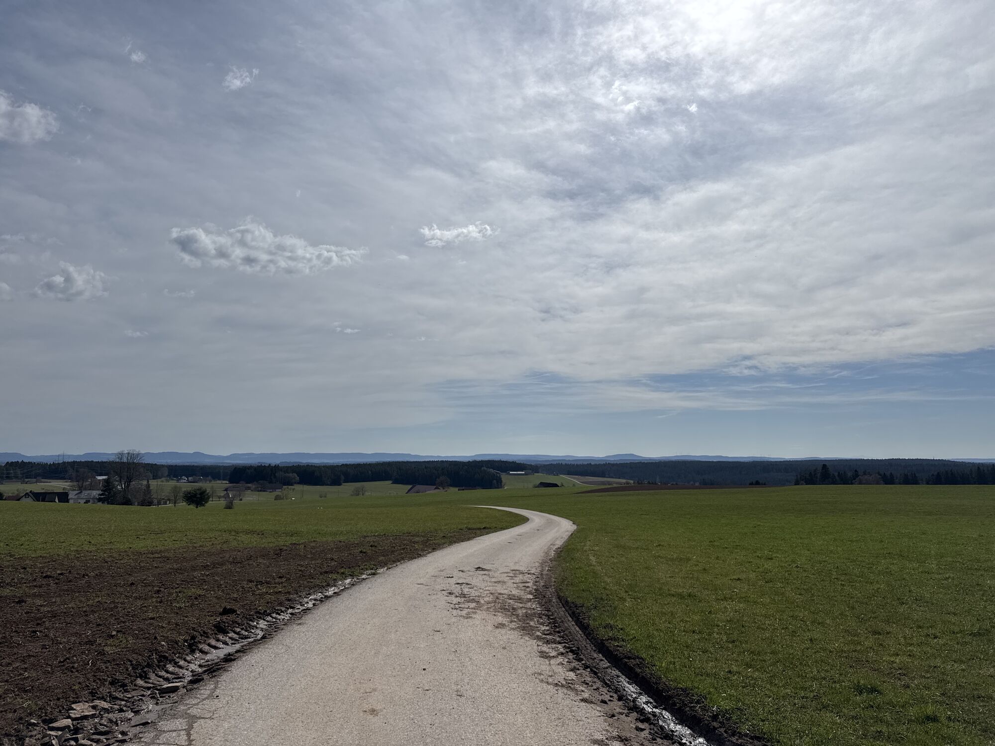

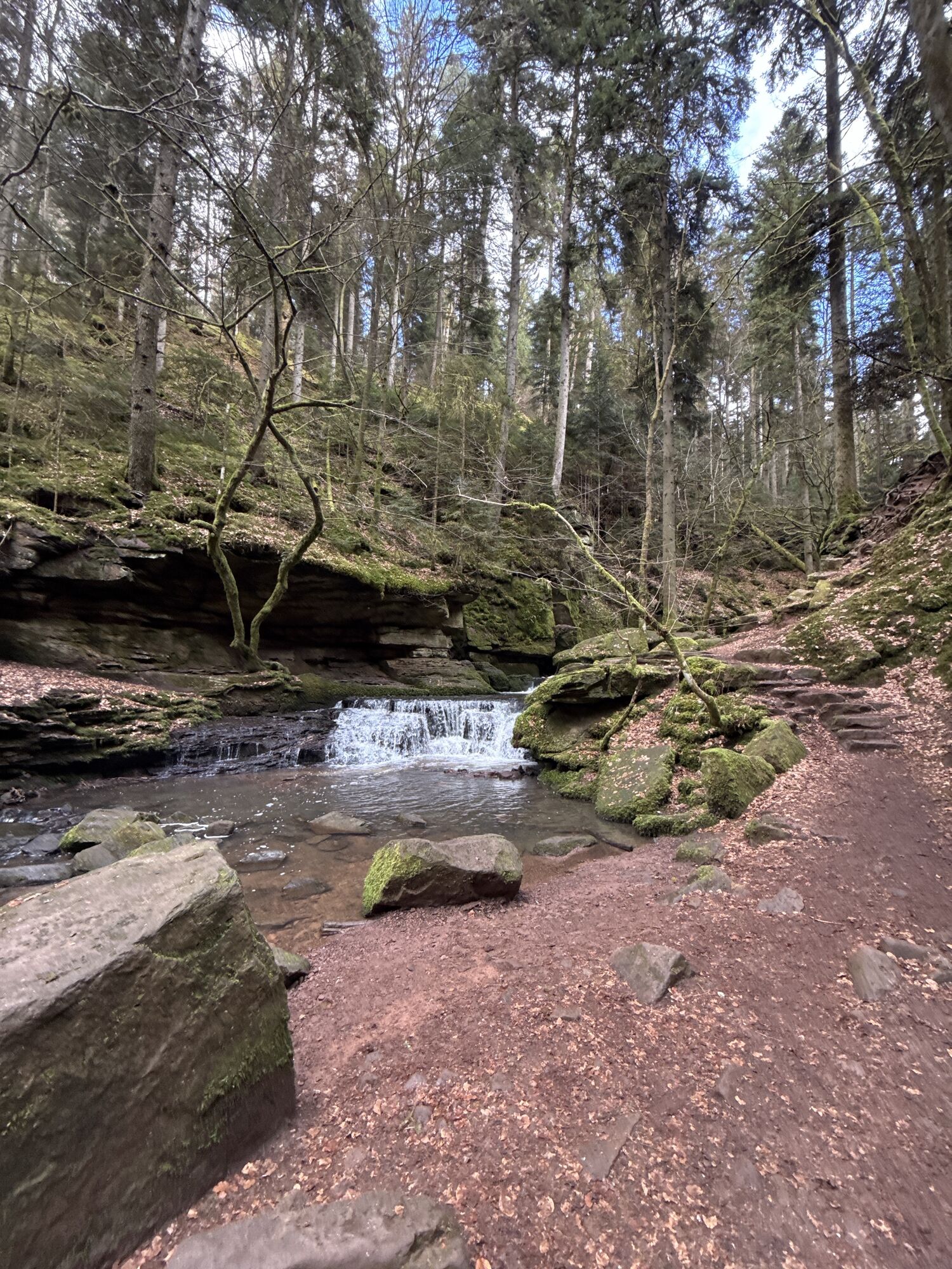


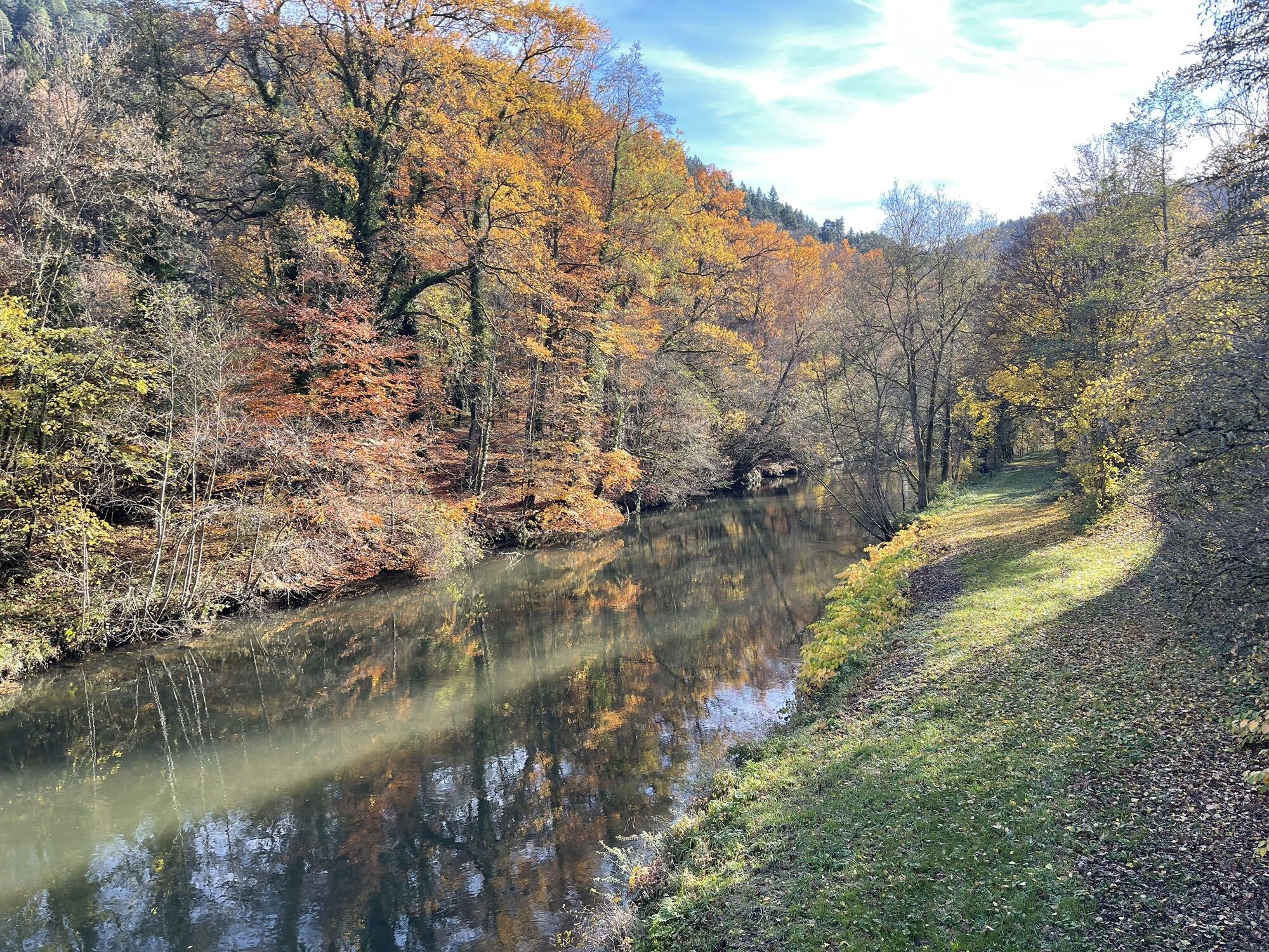


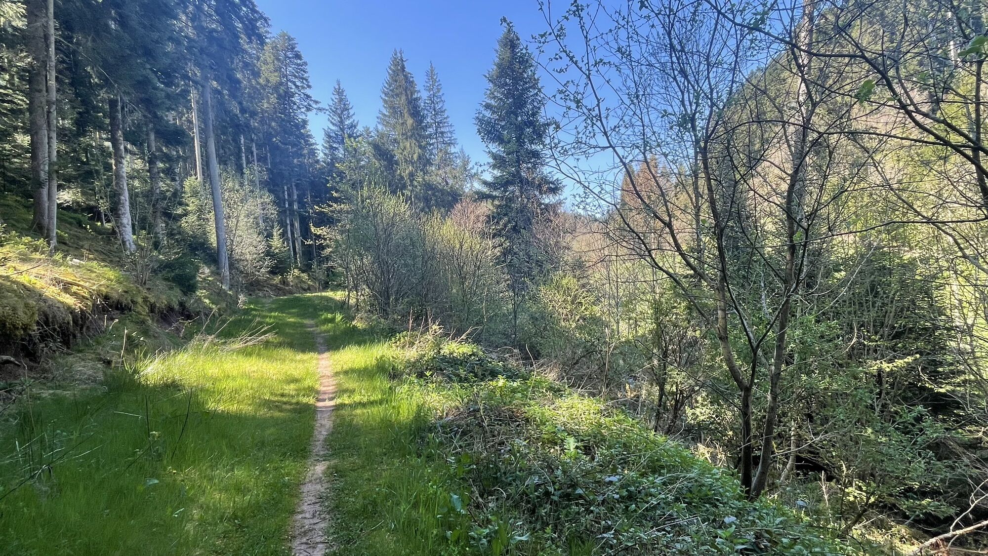
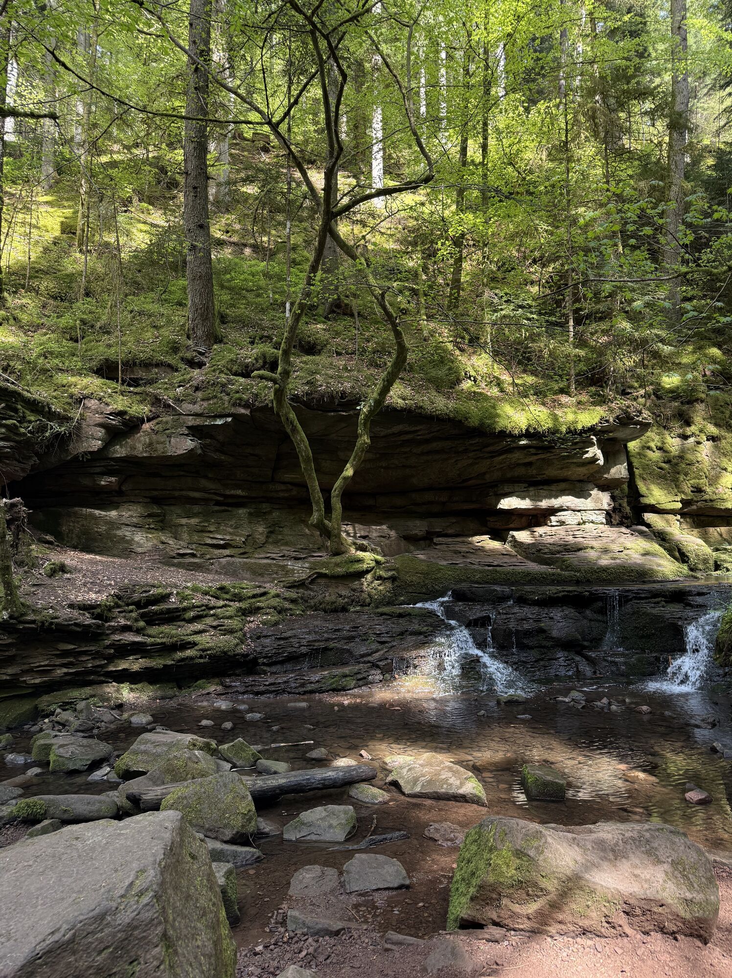

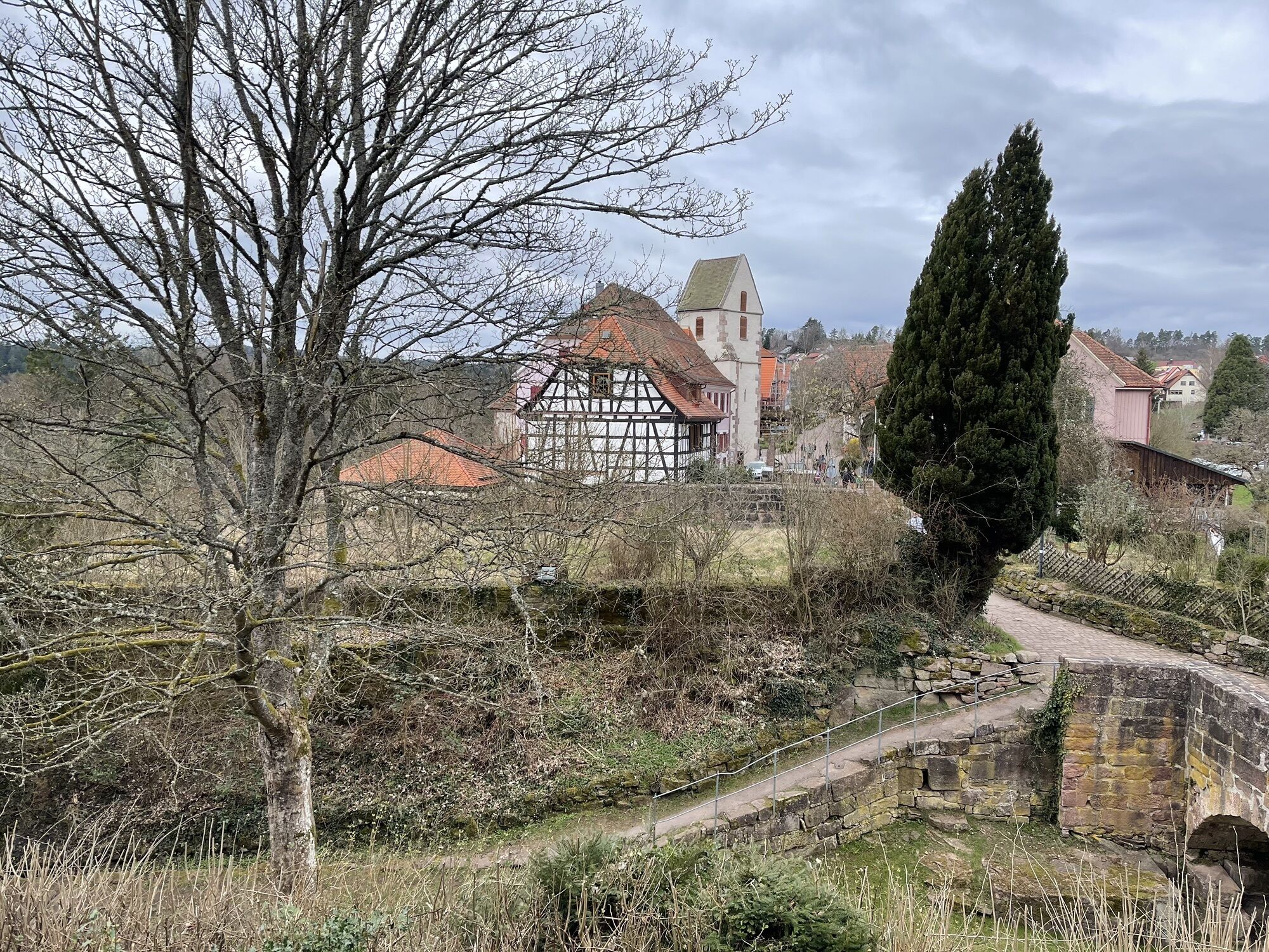
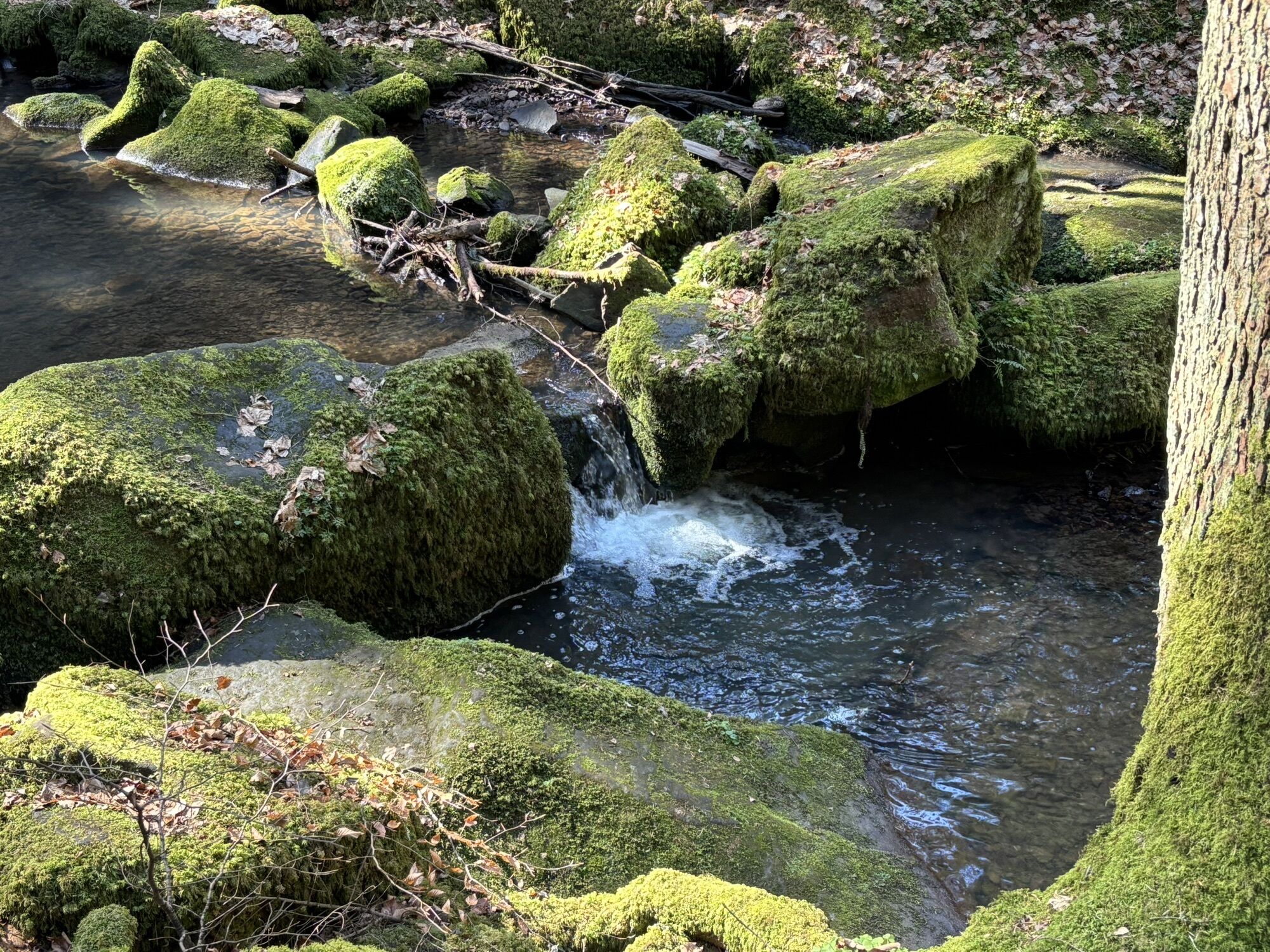

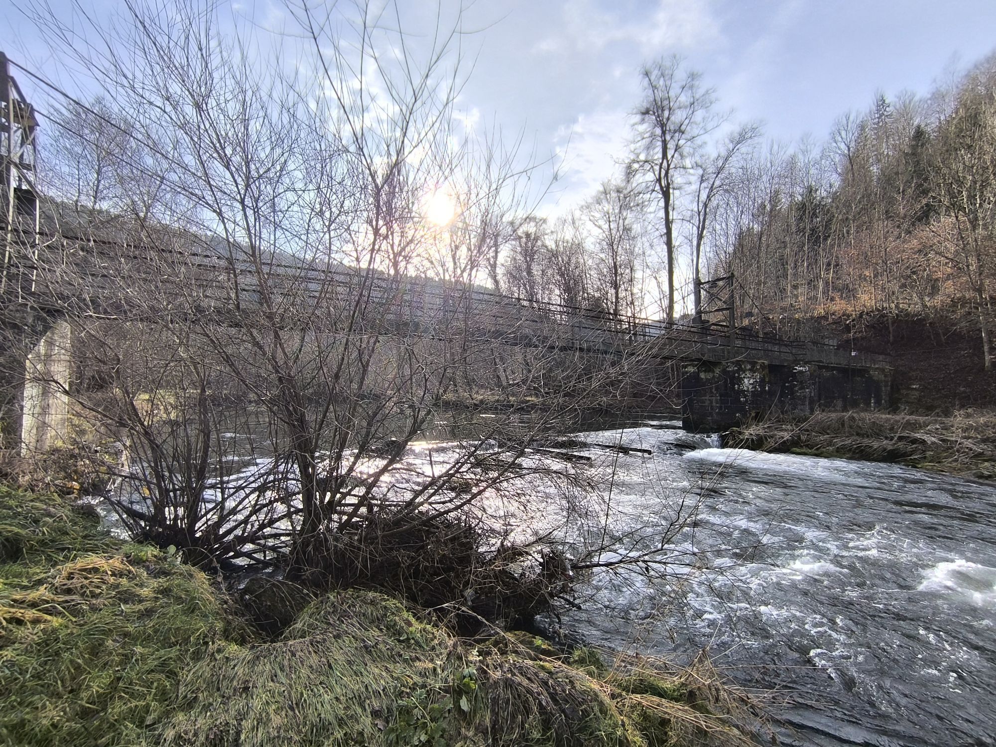
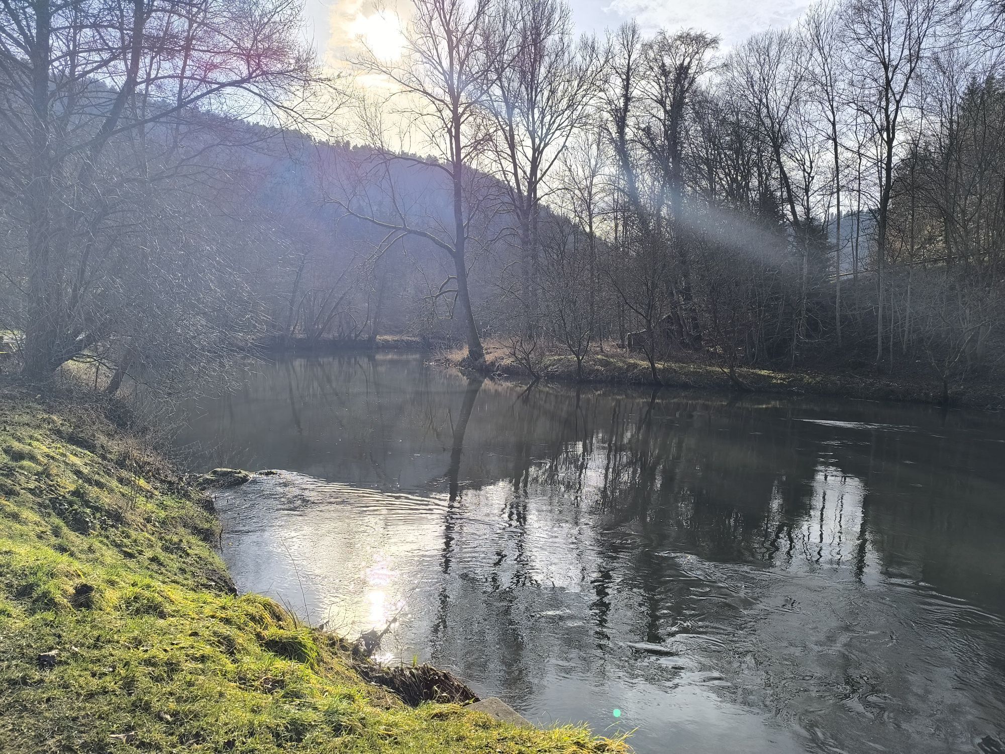


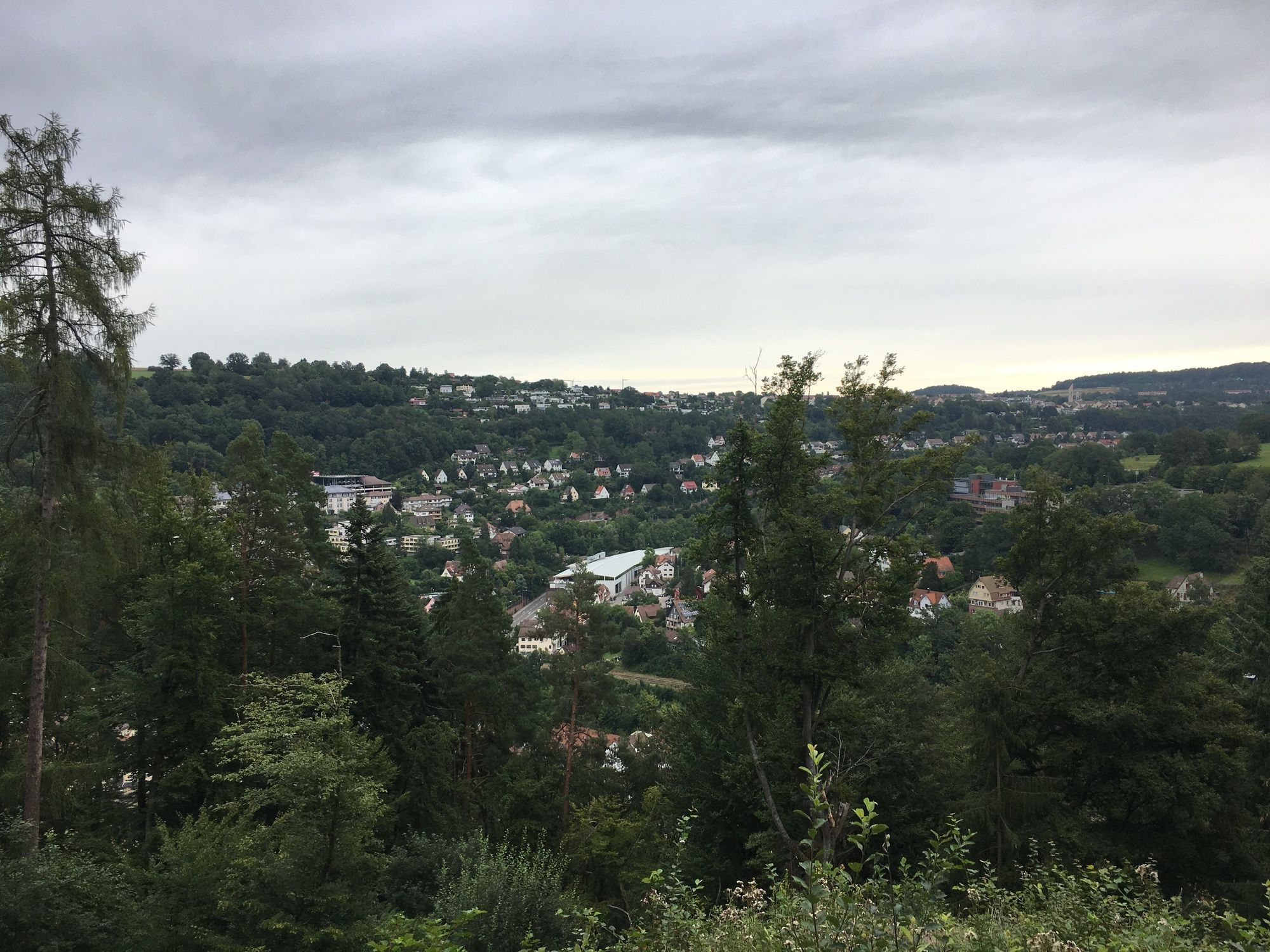


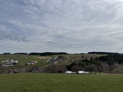
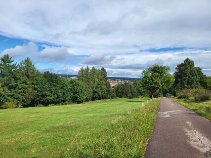
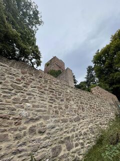
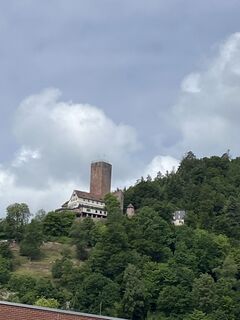
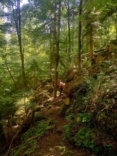
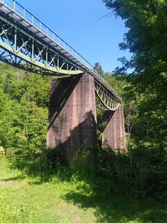
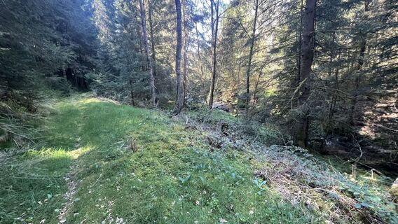
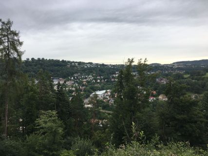
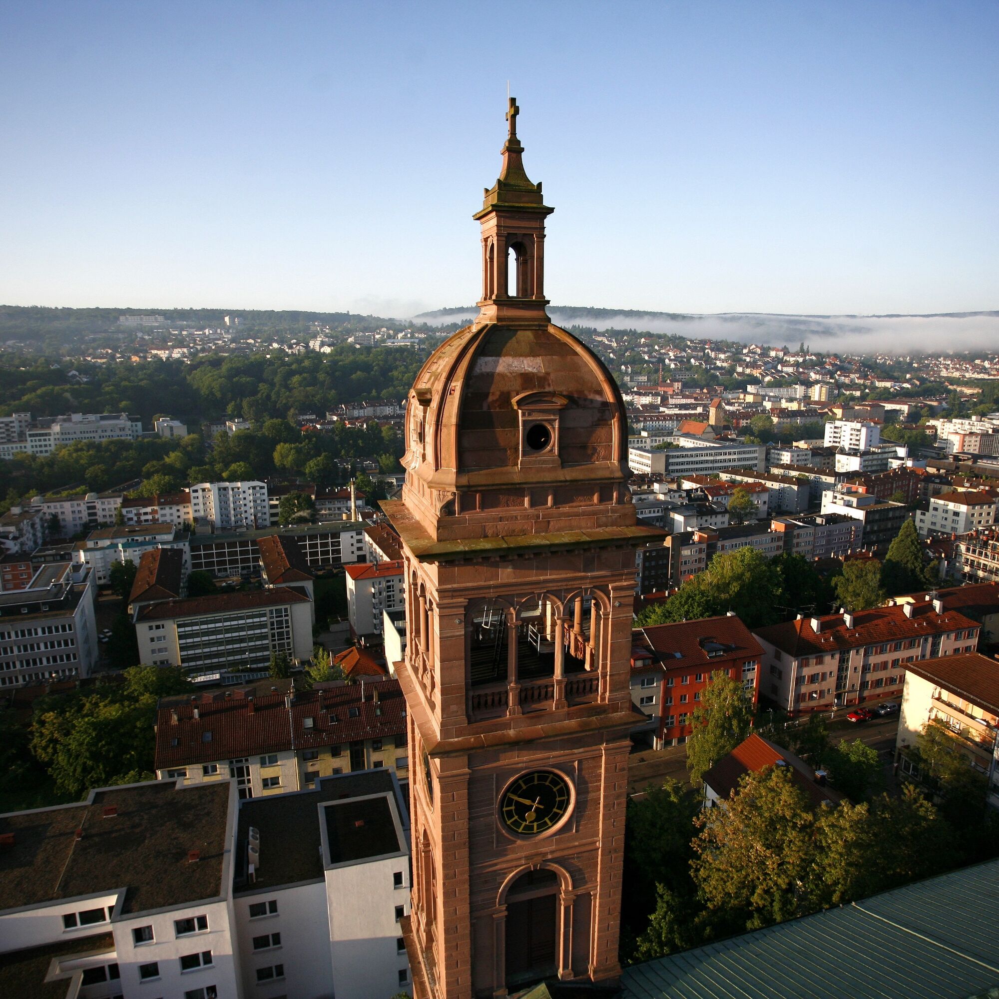
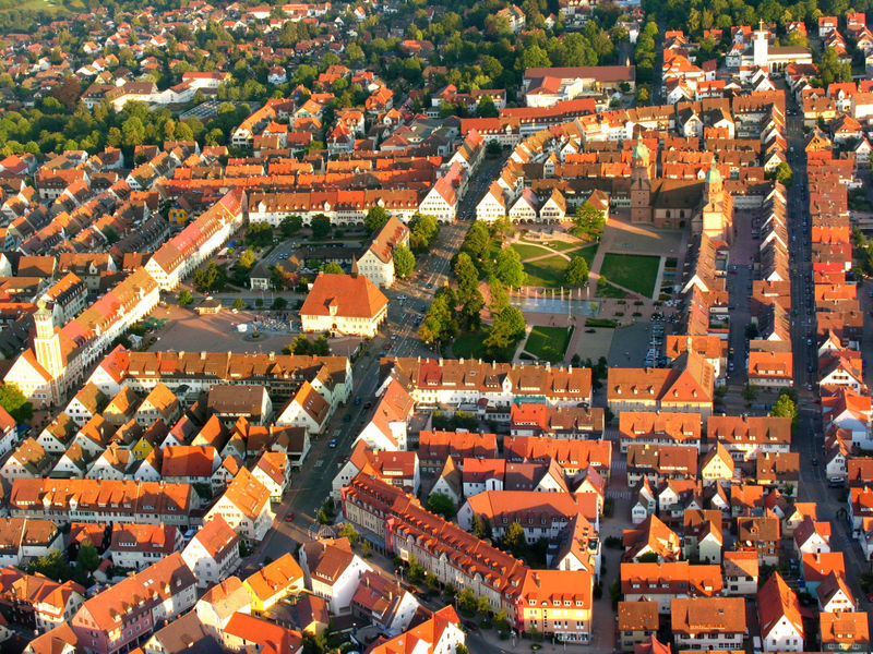
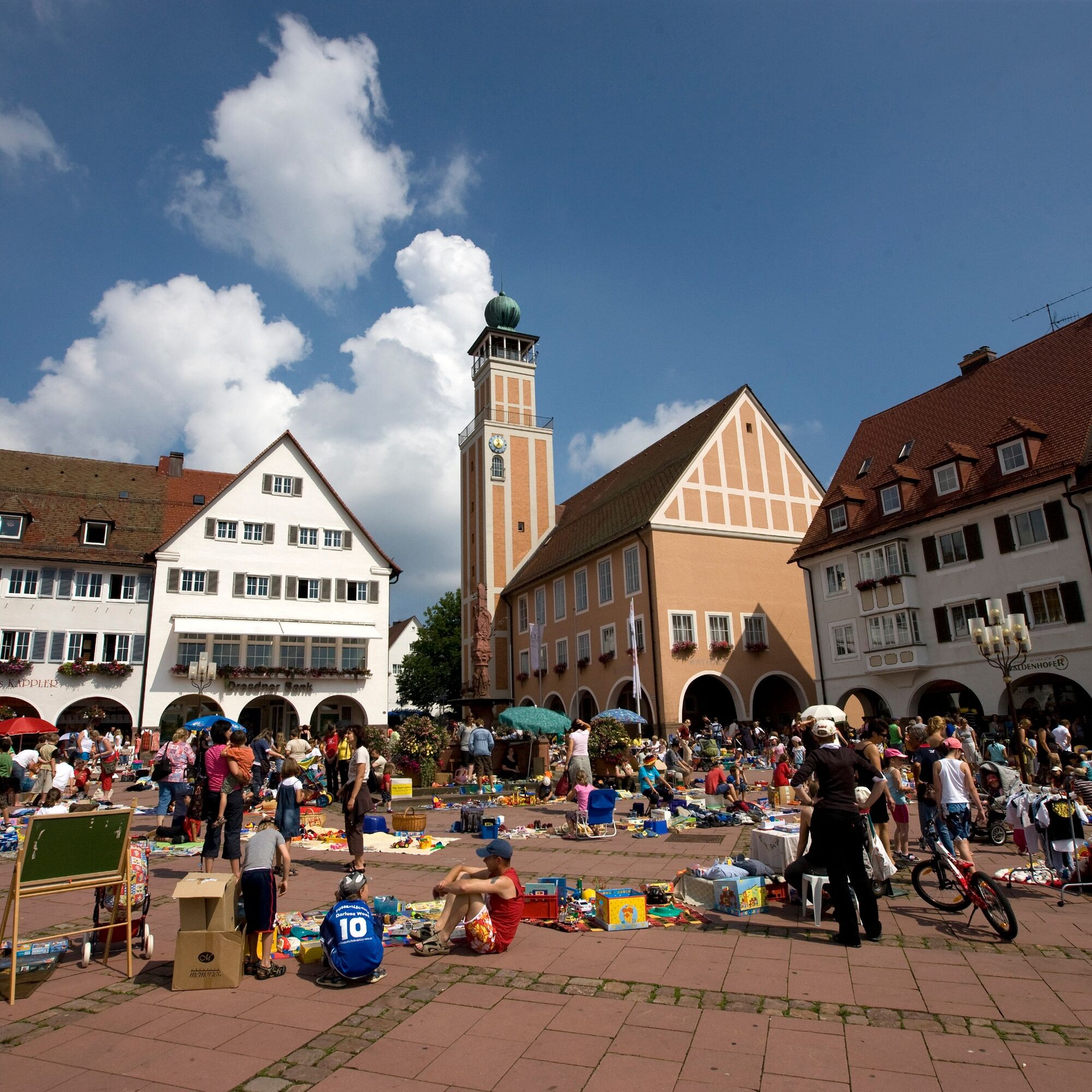
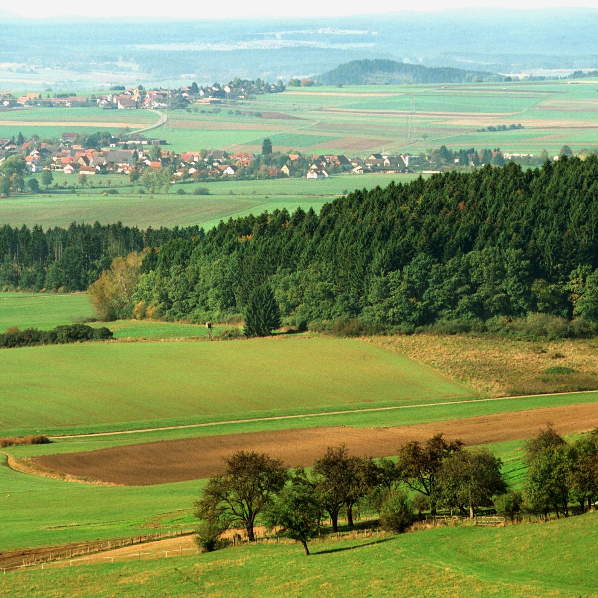
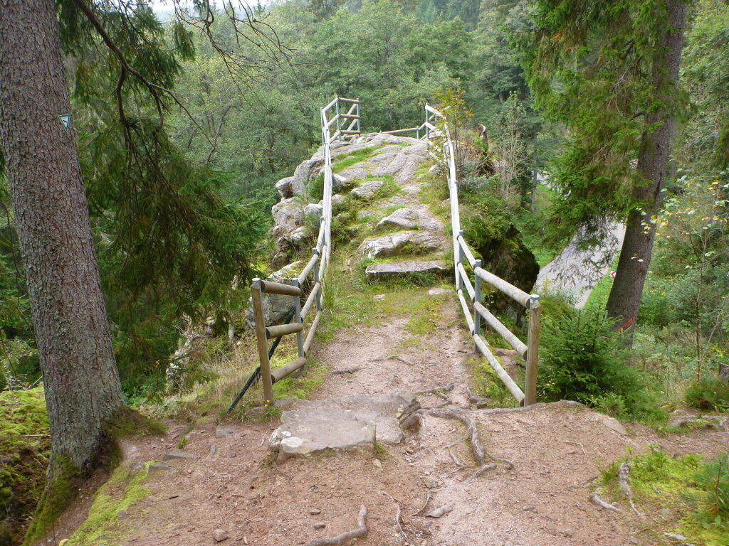
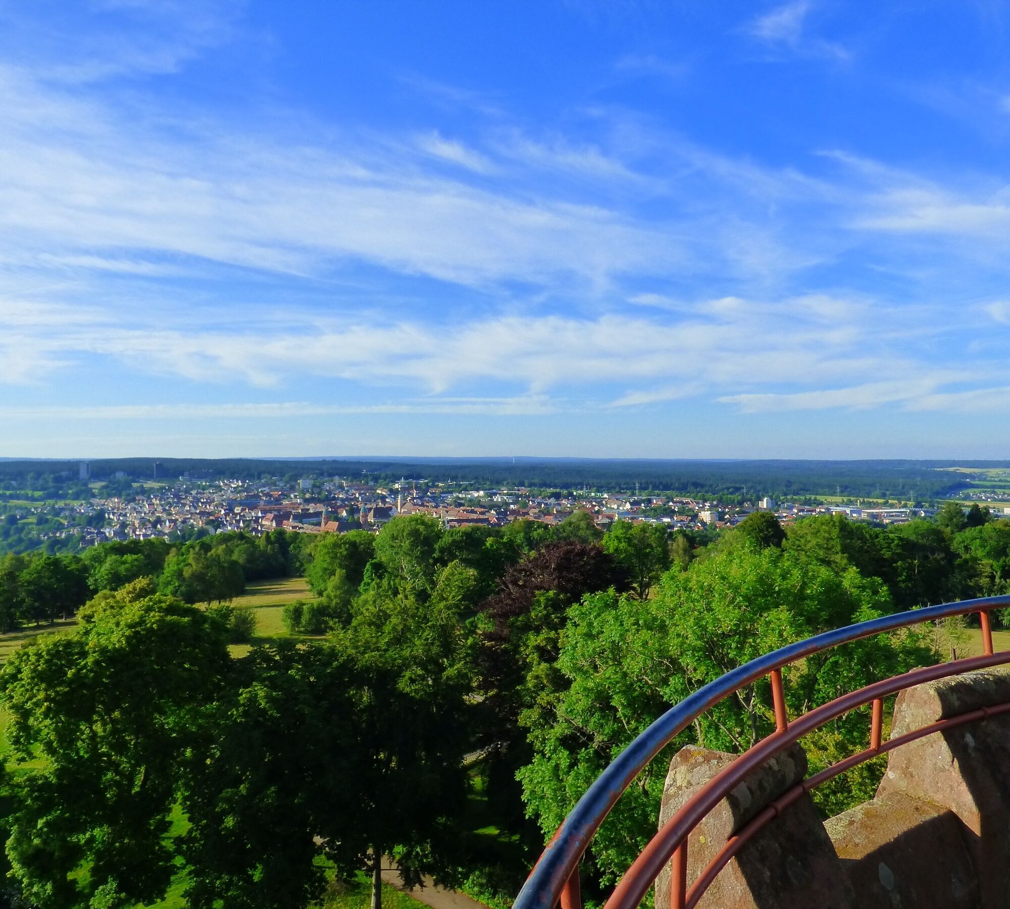
The Ostweg leads out of the Golden City Pforzheim over the heights east and west of the Nagold Valley. Valleys, heights, and open landscape bring the hiker past Pfalzgrafenweiler, Freudenstadt, by Friedrichsturm...
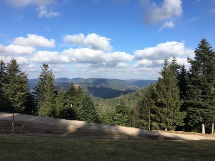
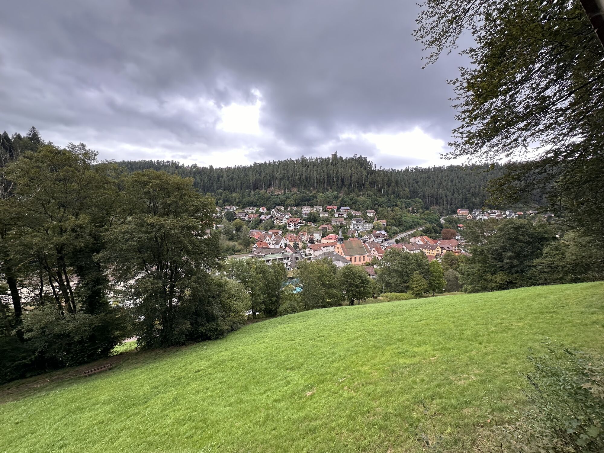
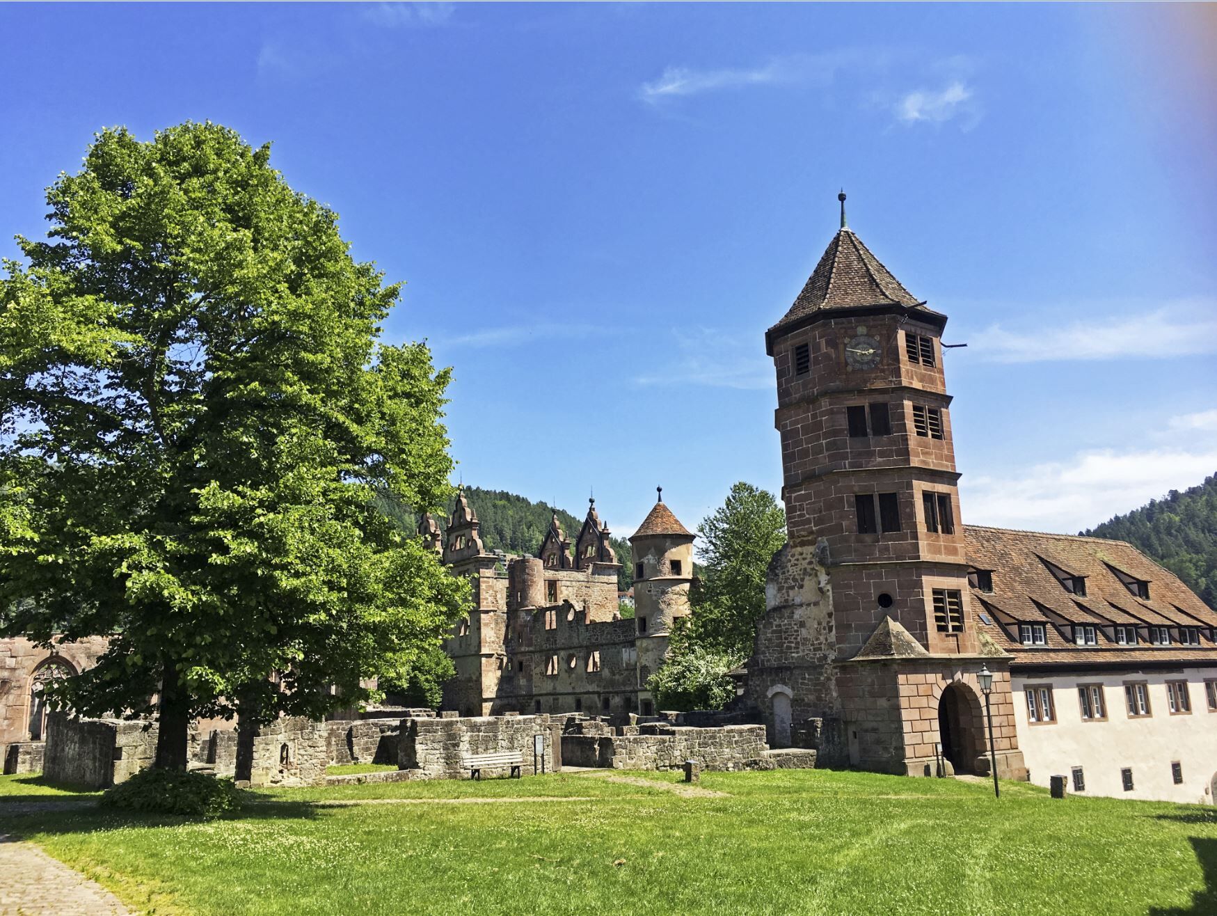
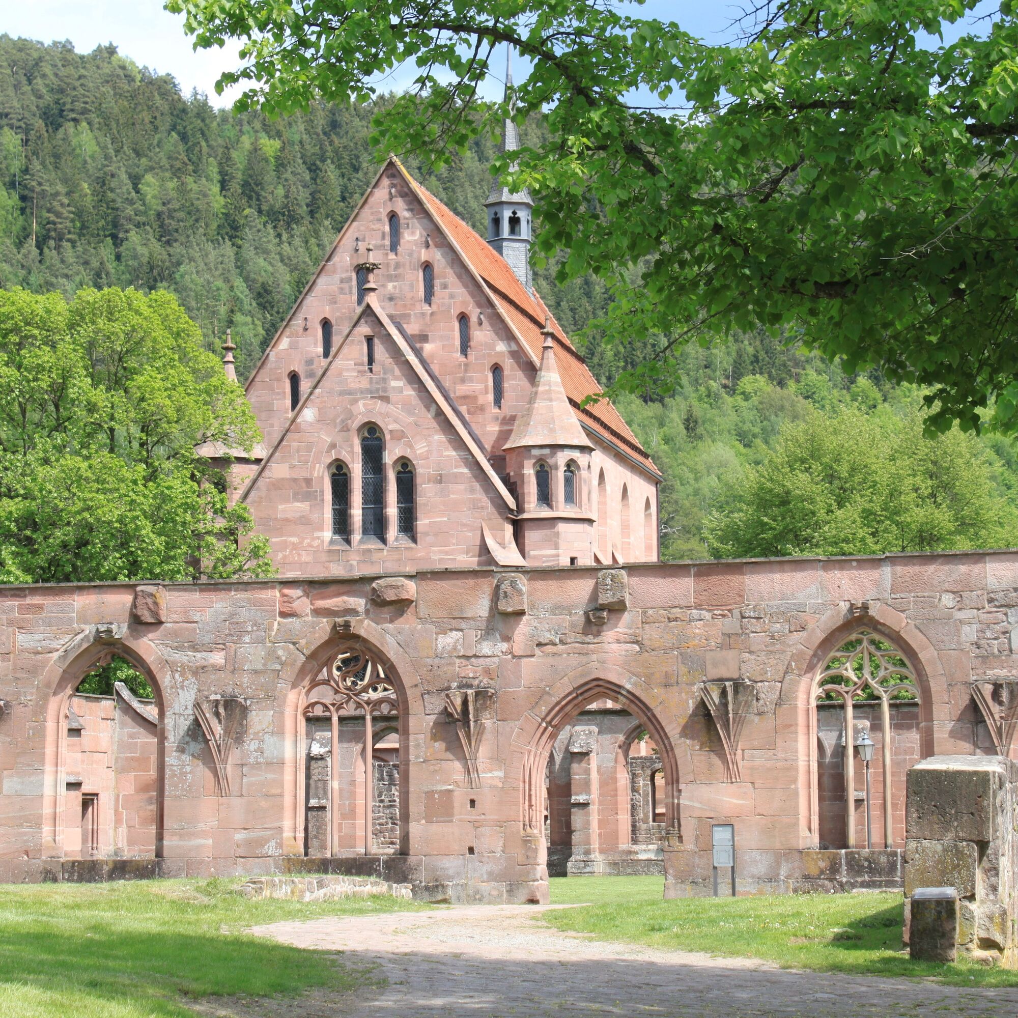
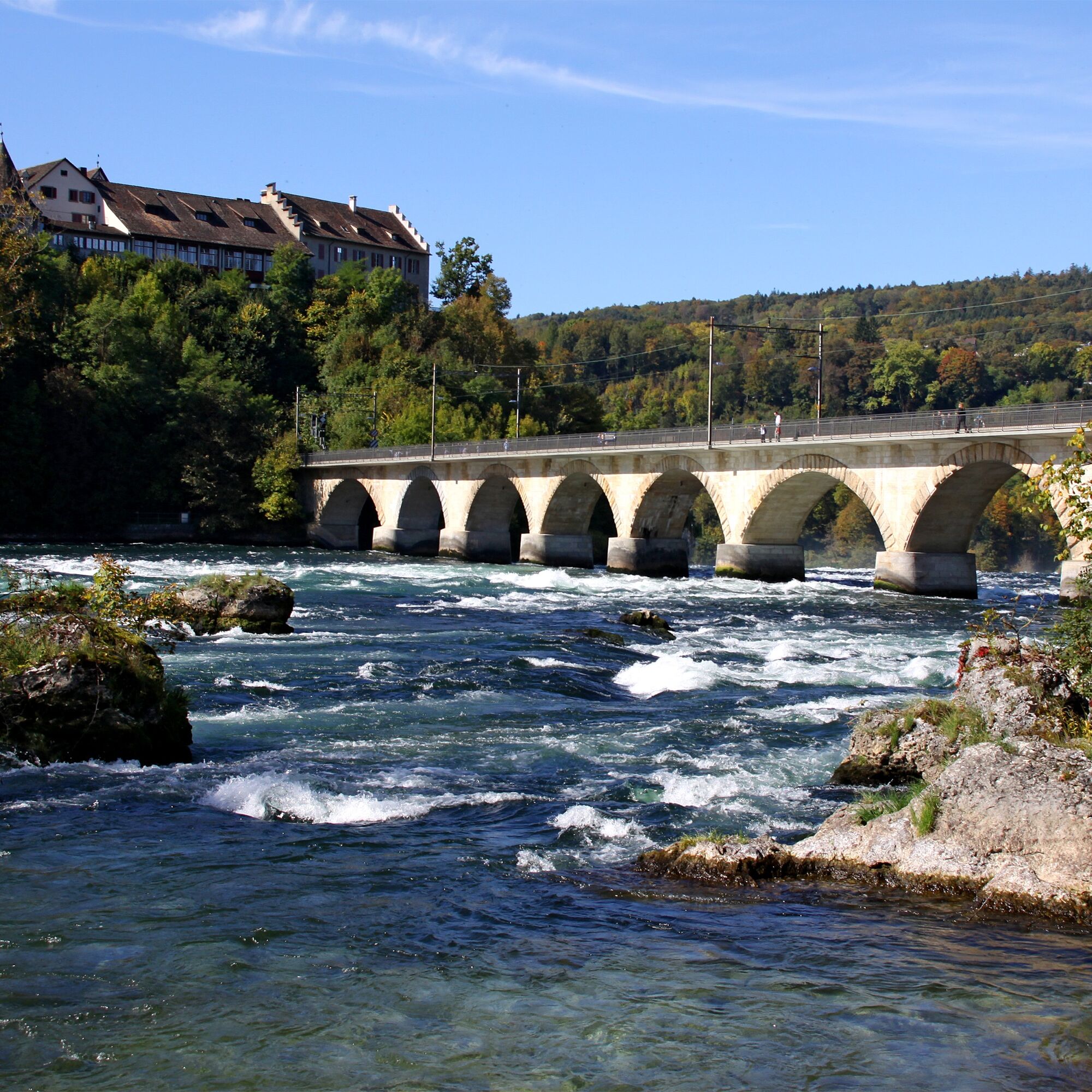
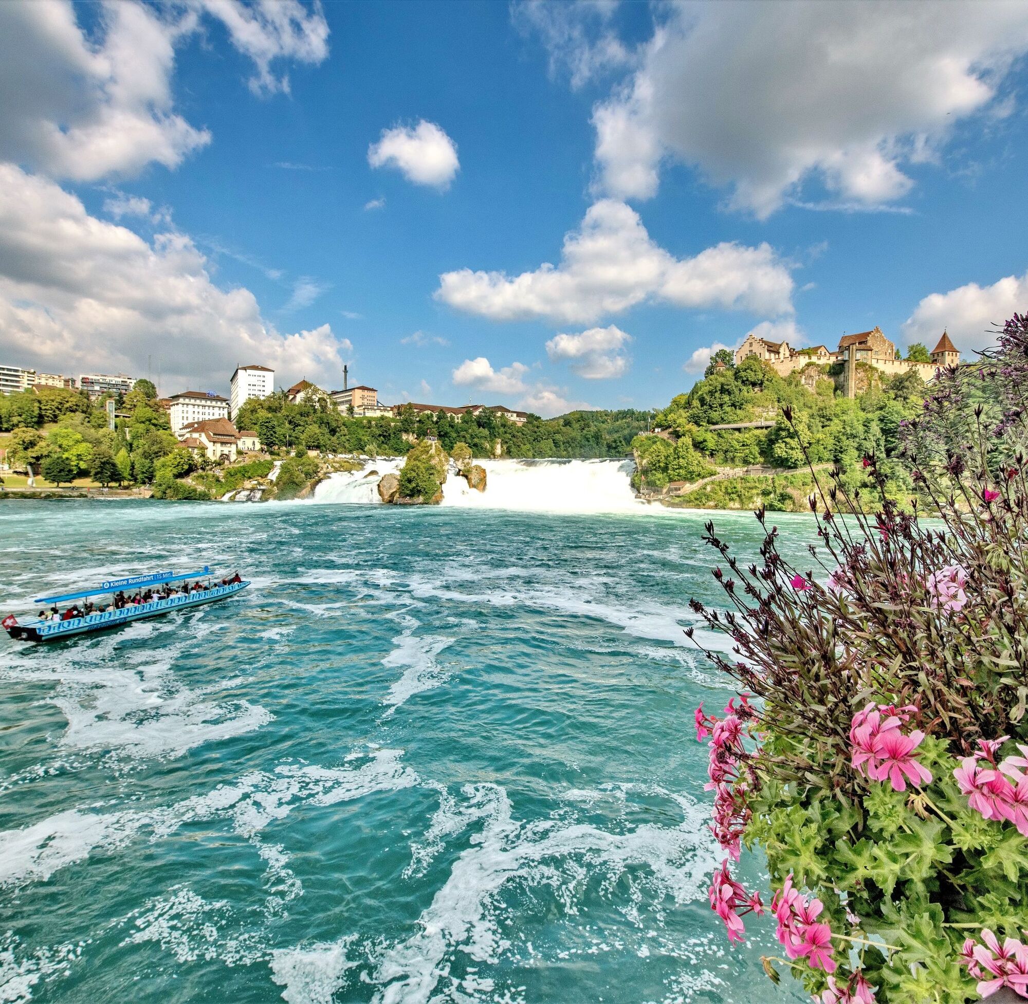
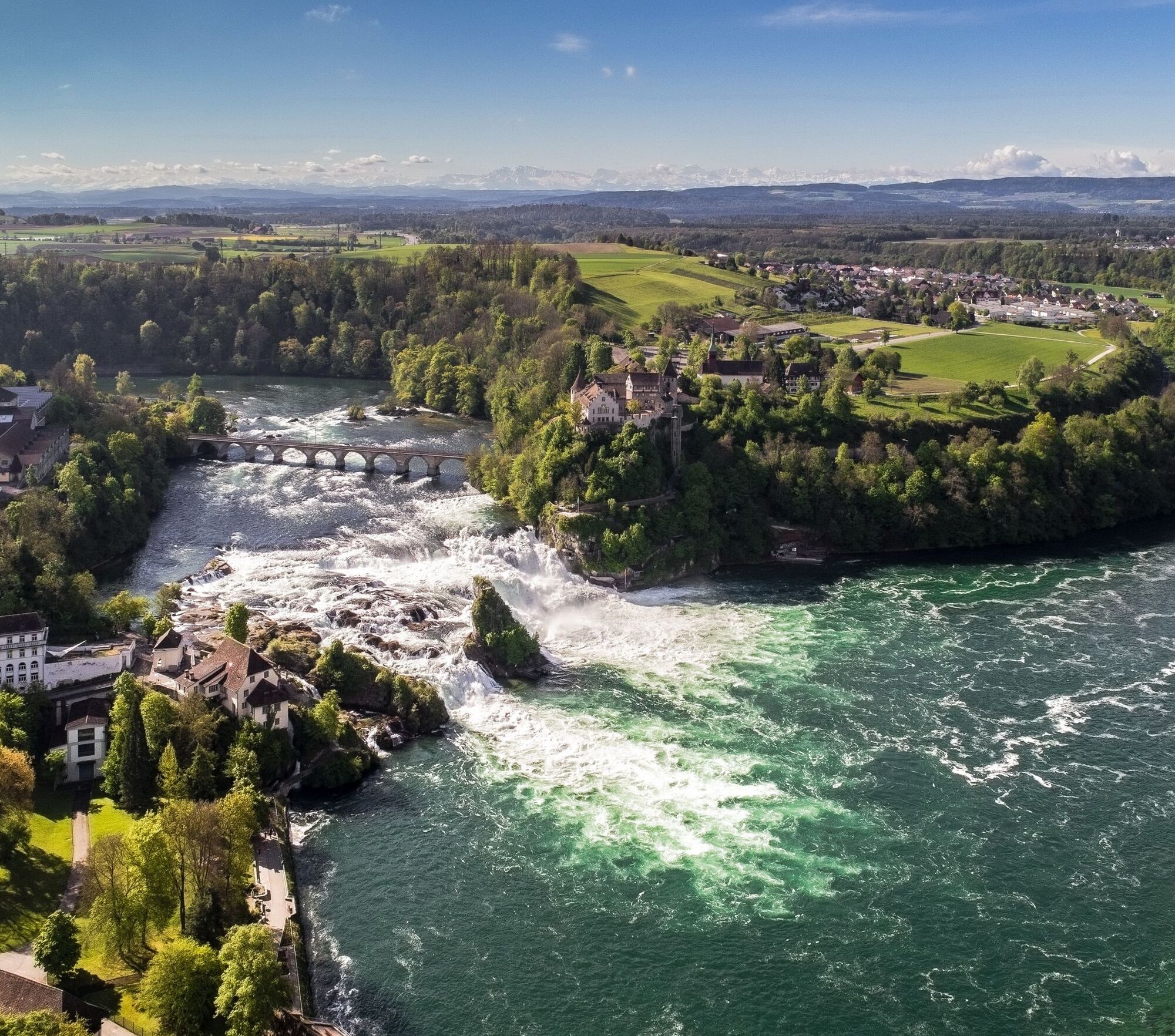
The Ostweg leads out of the Golden City Pforzheim over the heights east and west of the Nagold Valley. Valleys, heights, and open landscape bring the hiker past Pfalzgrafenweiler, Freudenstadt, by Friedrichsturm and Vogteiturm to Alpirsbach in the Kinzig Valley. Over the plateau with Aichhalden, Schramberg in the Schiltach Valley, and the heights with the Waldau ruin, Königsfeld, Mönchweiler, Villingen-Schwenningen and the Neckar source, the path offers views to the Swabian Jura in the east, the Black Forest in the west, and over the Baar towards the Alps. The path passes through the typical landscape at the transition to the Swabian Jura and crosses the Danube Valley near Geisingen. On the heights of the ridge, the Ostweg reaches its highest point at 920 m above sea level. Over Eichberg it reaches the valley of the Wutach at Achdorf and follows it downstream to Stühlingen. Over the last major ascent of the path to the Schleitheim Randenturm it goes down to Schaffhausen on the Upper Rhine.
Please refer to the individual stages.
Áno
Áno
Sturdy and well-broken-in footwear, weatherproof clothing, hiking poles, provisions, map material
Please refer to the individual stages.
All stage locations are easily accessible by car. Please refer to the individual stages for detailed information.
Most stage locations are very well accessible by public transport. Please refer to the individual stages for detailed information.
Parking is available in each stage location. Please refer to the individual stages for detailed information.
Schwarzwaldverein e.V.
Schlossbergring 15
79098 Freiburg
Phone: 0761 | 380 53-0
Fax: 0761 | 380 53-20
Schwarzwald Tourismus GmbH
Heinrich-von-Stephan-Straße 8b
79100 Freiburg
Tel.: +49 761 896460
Fax: +49 761 8964670
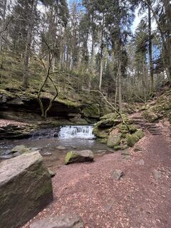
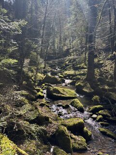
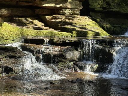
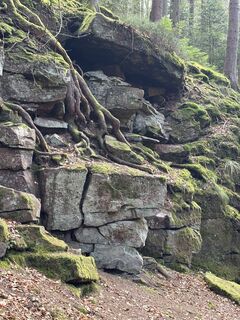
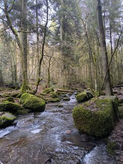
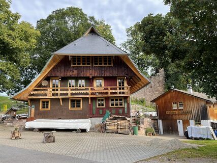
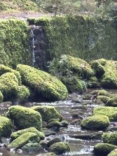
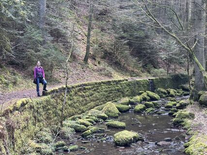
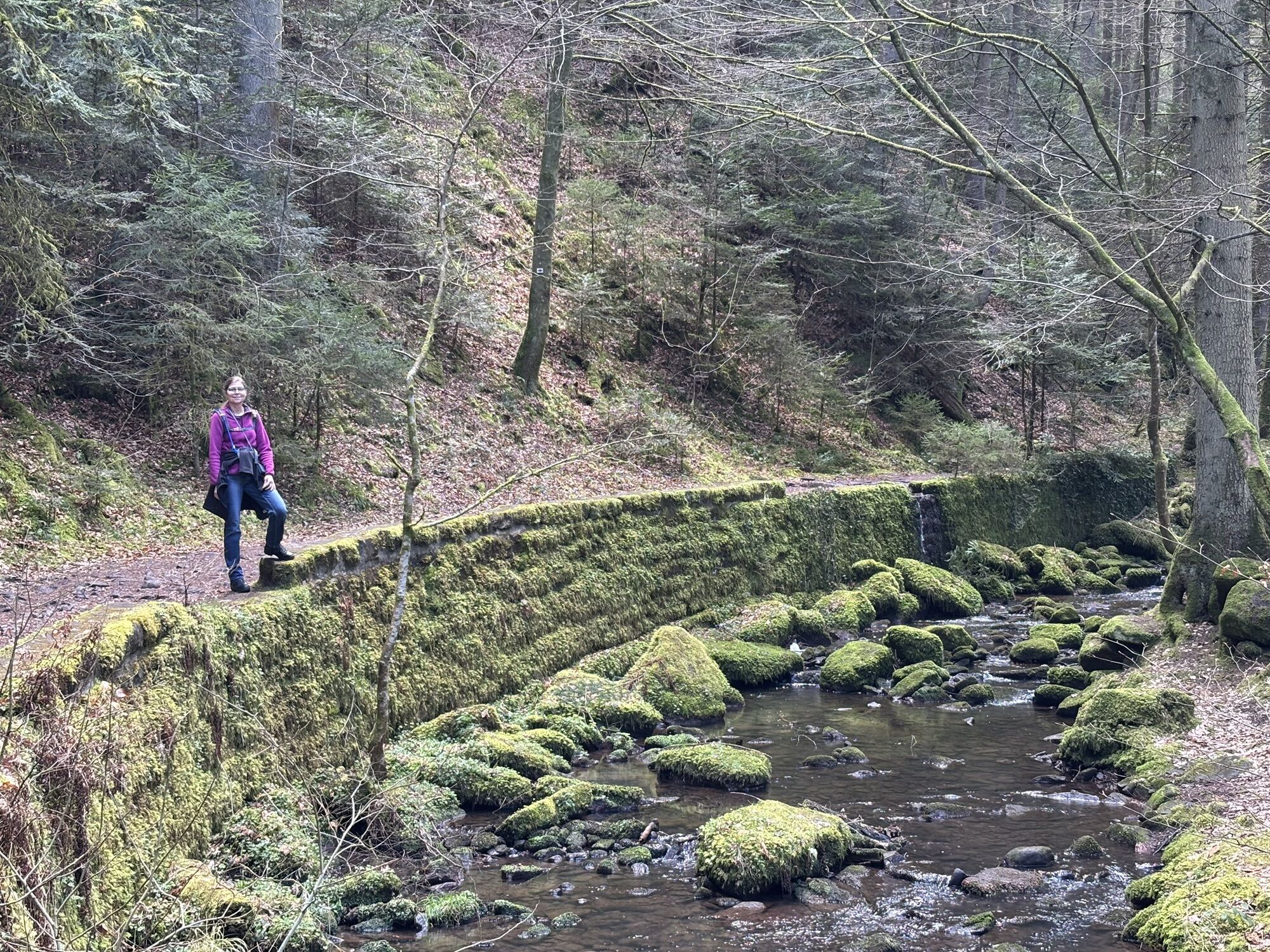
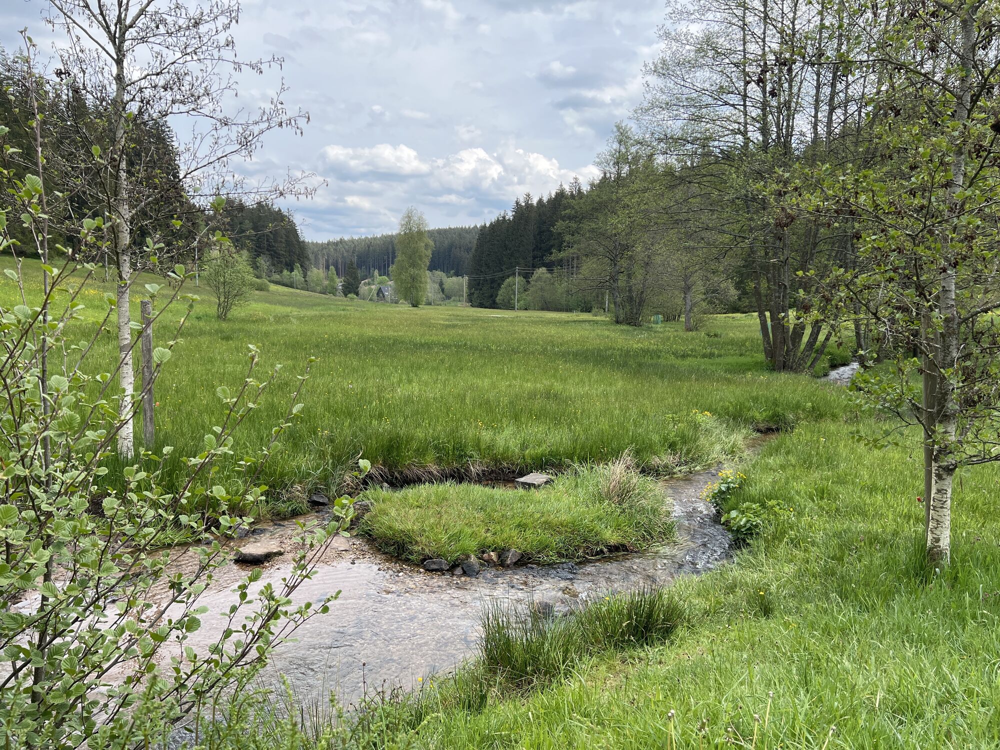
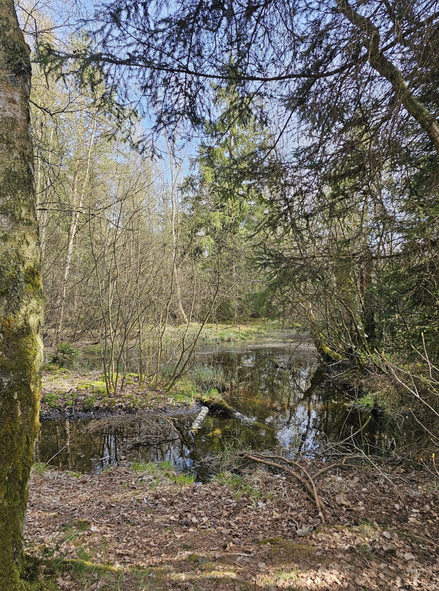
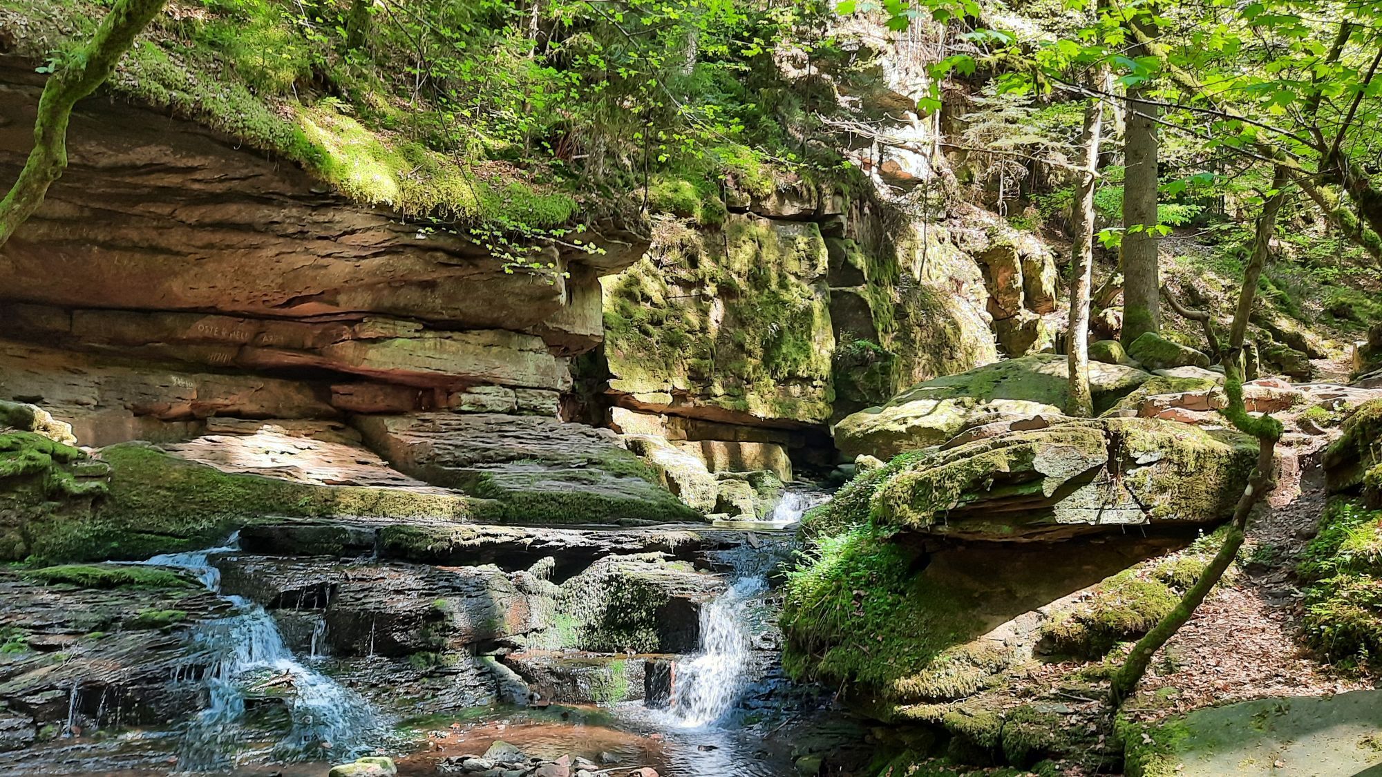
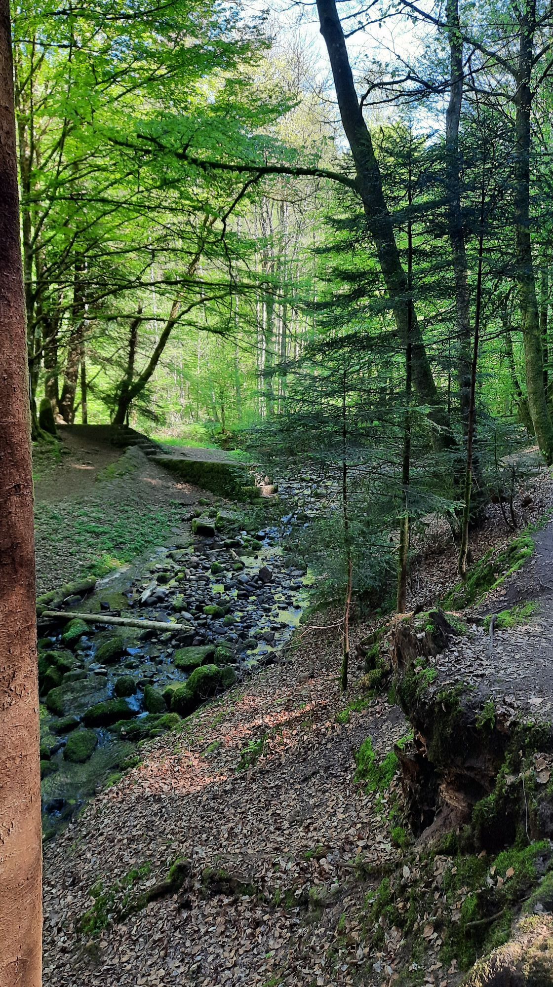
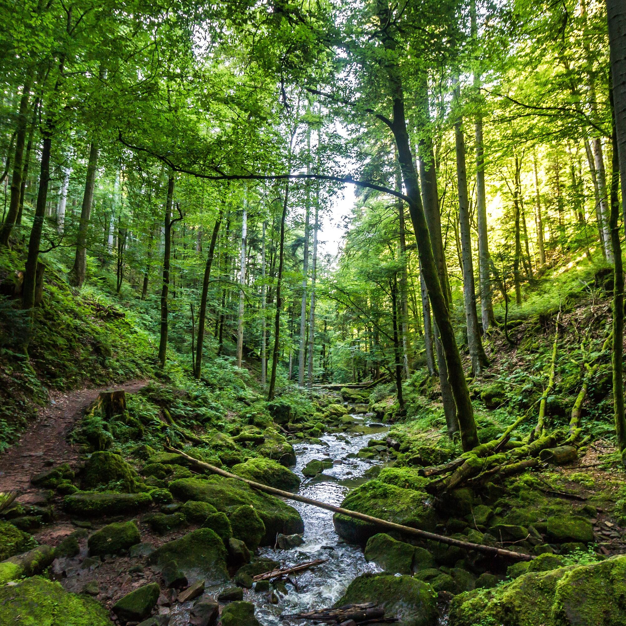
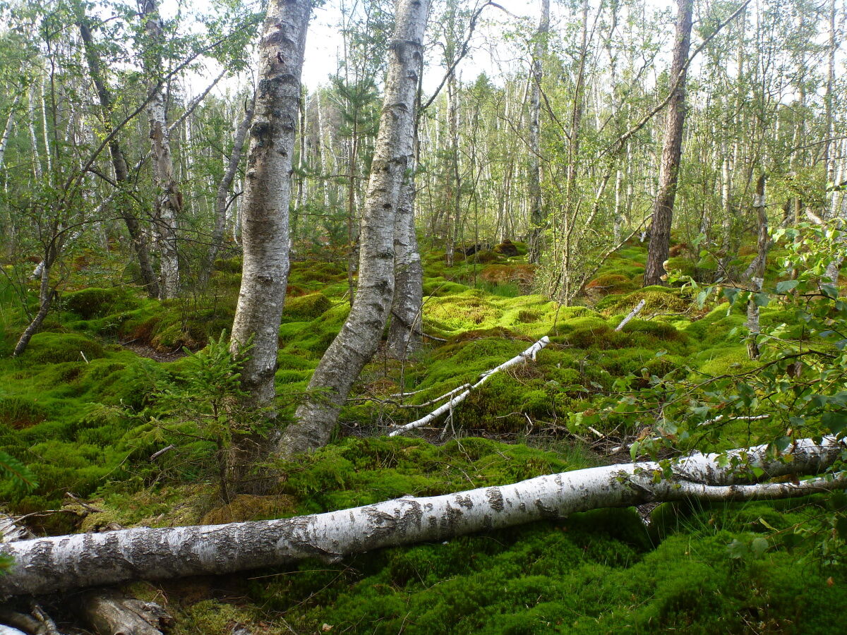
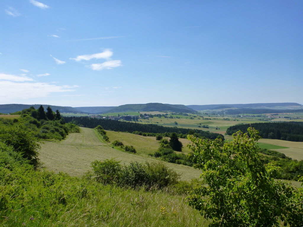
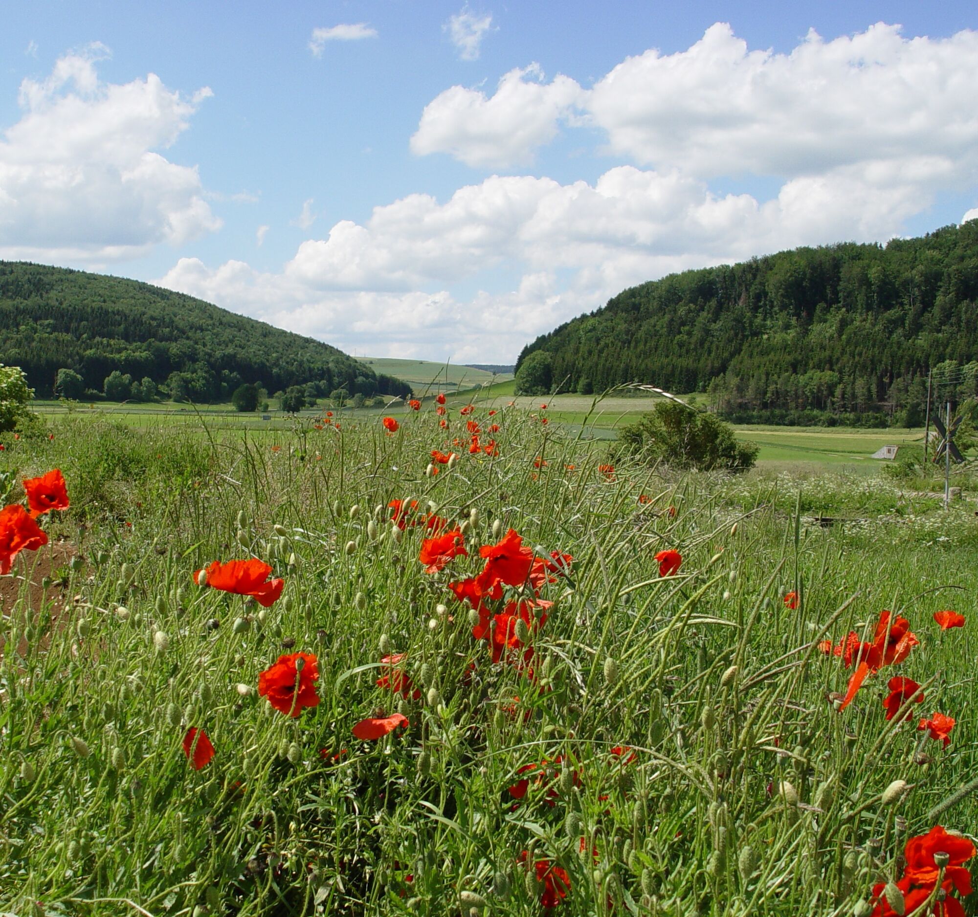
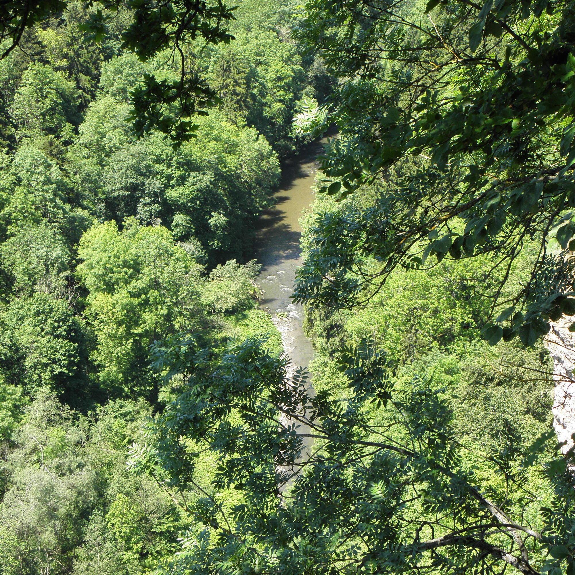
Natural highlights line the path and shape landscapes, people, and animals. Discover the Black Forest, the warm-hearted people, and enjoy!
Webové kamery z prehliadky
-
Baiersbronn
-
Skilift Stokinger
-
Wanderhütte Sattelei
-
Siblingen Randen Tappolet
-
Zentraler Omnibus Bahnhof (ZOB)
-
Schaffhausen Vordergasse
-
Zentraler Omnibus Bahnhof (ZOB)
-
Zentraler Omnibus Bahnhof (ZOB)
-
Zentraler Omnibus Bahnhof (ZOB)
-
Neuhausen am Rheinfall
-
Bad Liebenzell
-
Bad Liebenzell
-
Bad Liebenzell
-
Bahnhof Blumberg-Zollhaus
-
Schiltach
-
Schramberg - Sulgen
-
Flurlingen mit Rhein
-
HD Live Webcam Loßburg – Blick vom Kinzighaus im Schwarzwald
-
Freudenstadt - Unteren Marktplatz
-
Freudenstadt - Obere Marktplatz
Obľúbené výlety v okolí
-
5,0
Schiltach: Schenkenburg - Kaibach - Circular route
strednáTuristika 12,3 km -
High above the Bernecktal
ťažkéTuristika 12,3 km -
4,0
Paradiestour Schlichemklamm
svetloTuristika 9,54 km -
5,0
Qualitätsweg "Augenblick-Runde" Schiltach-Zollhaus-Schenkenburg
strednáTuristika 16,1 km -
5,0
To Hohenschramberg, viewing pavilion, and the Kreuzfelsen
Turistika 10,6 km -
5,0
Qualitätsweg Burgruine Albeck
strednáTuristika 11,9 km -
4,0
Qualitätsweg Boller Felsen und Burgruine Bogeneck
strednáTuristika 8,76 km -
The Hohenschramberg and the rocky sea
strednáTuristika 8,14 km -
FREI.GANG Schiltach: panoramic hiking route to Hinterlehengericht
strednáTuristika 11,0 km -
Heiligenbronn erwandern
Turistika 8,93 km
Turistika a stopovanie


Nenechajte si ujsť ponuky a inšpiráciu na ďalšiu dovolenku
Vaša e-mailová adresa bol pridaný do poštového zoznamu.