





Around the Welschensteinacher Valley
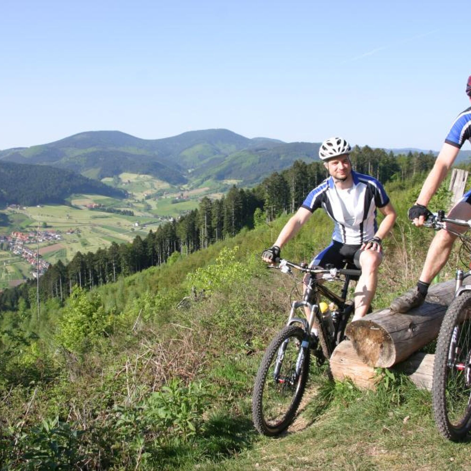
Moderate route, only a short warm-up phase, three staggered climbs, the elongated third climb offers several small climb formations. Demanding descent with some "intermediate highs". Impresses with beautiful...
Moderate route, only a short warm-up phase, three staggered climbs, the elongated third climb offers several small climb formations. Demanding descent with some "intermediate highs". Impresses with beautiful views.


Start in Steinach at the parking lot by the town hall. Turn left into Schulstr., after 80m at the MTB junction ST2 turn right onto the main street, approx. 200m further at the MTB junction ST1, bear right into Badenerstr., through the underpass and after this, at the MTB junction ST3, straight ahead towards Welschensteinach.
At the fork in the path, 100m further, slight left through the yard.
At km 0.75 at MTB junction ST4 turn left towards Fehrenbacher Kreuz and 150m further before the company premises turn right. Shortly after into the dead-end "In der Hausmatt".
At km 1.2 turn right onto the main street, which is left again after 100m. After 400m the path leads into the forest and steep uphill.
At km 2.35 at location "Artenberg" straight ahead. The path runs along the slope to the 3-way junction at km 4.25. There turn left and then 1.3 km steep uphill to the 3-way junction at km 5.55. Here, bear left now slightly uphill.
On the open area above Dochbach (km 6.7) bear left again slightly uphill. After another 200m at MTB junction ST13 bear right towards Fehrenbacher Kreuz.
At Dochbacher Platz (km 7.2) continue straight towards Sommeracker, now slightly downhill. At the next fork bear left again uphill.
At location "Sommeracker" (km 7.85) go straight to Fehrenbacher Kreuz (km 8.3). There (ST12) bear right towards Höhenhäuser.
At km 9.1 at the fork bear left steep uphill, 400m further at the 3-way junction turn right onto the unpaved path into dense forest.
At location "Buchwald" (km 10.1) turn right, and "Am Hessenberg" bear right towards Hesseneck, which is reached after a total of 10.7 km.
There, (MTB junction SU34) straight to Höhenhäuser Höhe (km 13.3)
In front of Cafe Schwarzwaldstüble (MTB junction SU35) turn right onto asphalt, shortly after right onto L101.
After the inn "Zum Kreuz" leave L101 to the left to MTB junction SU36. Here bear right to the bus stop and then across the parking lot. At the end of the parking lot at km 13.7 (MTB junction SU32) turn left towards Hallen.
At km 13.9 turn right into "Hoher Geissbergweg" and at the next MTB junction (SU31) at km 14.2 straight towards Hallen. After another 300m at the 4-way junction turn left downhill to Lahrer Hütte.
At location "Hallen" at km 15.1 continue straight downhill, shortly after out of the forest. After another 200m at the bus stop "Hallenwasen" cross L103.
Immediately after at the emergency call pillar bear right. At km 15.6 go straight along the forest edge on an unpaved path downhill to location "Am Lindenrain". There at km 16 at MTB junction SU27 at a sharp angle turn right towards Kambacher Hütte.
After another 100m at the 4-way junction turn right. At Fixenplatz (MTB junction SU26) at km 17.3 bear left towards Kreuzplatz into Kappellenweg.
At MTB junction SU25 (km 18) turn right across the open area towards Kreuzplatz and shortly after at Robertskapelle bear left uphill again.
At Kreuzplatz (km 19.6; SU23) straight towards Kambacher Hütte.
At km 20.3 at the height of the house turn left steep uphill onto the unpaved path, which is left after 1.2 km. A short steep climb follows.
At km 22.7 at Kambacher Hütte (MTB junction SU20) first straight and shortly after at the fork bear left. 200m later at the fork before the barrier turn left steeply uphill onto an unpaved path.
At MTB junction SU19 („Beim Kambacher Eck“) at a sharp angle right towards Niederbacher Eck (km 24.3) and there bear right towards Wanglig.
At location "Wanglig" (km 24.8; MTB junction ST6) first straight, shortly after bear right towards Schirrmaierhütte. At Schirrmaierhütte (km 25.9) follow the gravel road downhill and 100m after the hut left, steep uphill onto an unpaved path and at the saddle turn right.
At km 27.7 at location "Brändiswäldele" turn right towards Steinach on asphalt. After another 700m at the edge of Steinach (MTB junction ST5) turn left. Shortly after the outdoor pool (km 28.9) turn left and after another 200m at location "Langmatt" turn left on the familiar path back to the starting point of the route
B33 from Haslach im Kinzigtal direction or towards Biberach
Bus line 7151 from Haslach and bus line 7160 from Offenburg direction
Exit Sonne
Parking lot at the town hall, Schulstraße
Fam. Stöhr
Höhenhäuser 2
79215 Biederbach
Tel.: 07826 / 215
Webové kamery z prehliadky
Získajte prehľad
Vždy naživo na mieste s viac ako 9 500 webovými kamerami. bergfex Ako používateľ Pro si teraz môžete pozrieť príslušné webové kamery pre mnohé zájazdy v aplikácii zájazdy z. Môžete si tak priamo prezerať aktuálne podmienky.
Obľúbené výlety v okolí
-
4,8
Hahn und Henne Tour
strednáTuristika 15,0 km -
4,7
Ortenau legend circular routes: Devil's Pulpit
strednáTuristika 10,2 km -
4,3
Paradiessteig Hofstetten
strednáTuristika 12,8 km -
4,7
Waldsee circular route to the Urenkopf tower
strednáTuristika 7,30 km -
4,5
Sontagstour
svetloTuristika 11,8 km -
5,0
Gemütliche Runde ab Wanderparkplatz Pfingsteck, Freiamt
svetloTuristika 4,62 km -
Westweg - Westvariante
ťažkédiaľková pešia trasa 288,8 km -
4,5
Panoramaweg Katzenmoos
strednáTuristika 11,0 km -
"King of hiking trails" Panorama Trail Mühlenbach / Small Loop
svetloTuristika 9,36 km -
5,0
Around the Flachenberg
strednáTuristika 4,78 km
Turistika a stopovanie


Nenechajte si ujsť ponuky a inšpiráciu na ďalšiu dovolenku
Vaša e-mailová adresa bol pridaný do poštového zoznamu.





