


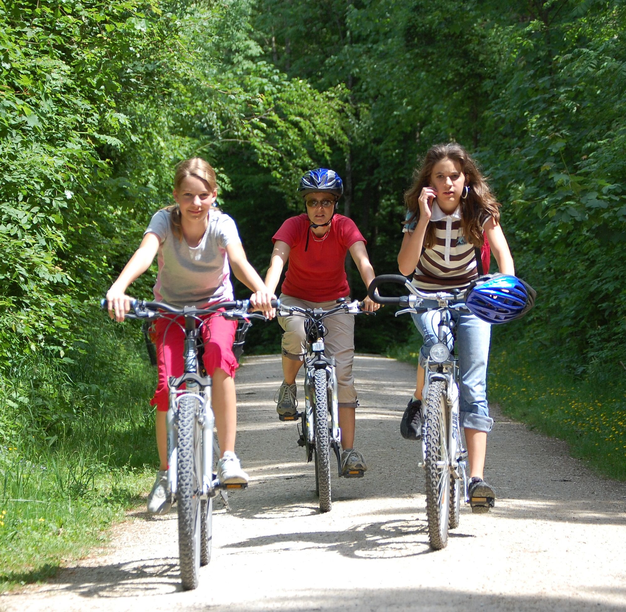
Castle Cycle Route 5 - Cross-border Family Cycling Route
Úroveň náročnosti: 2
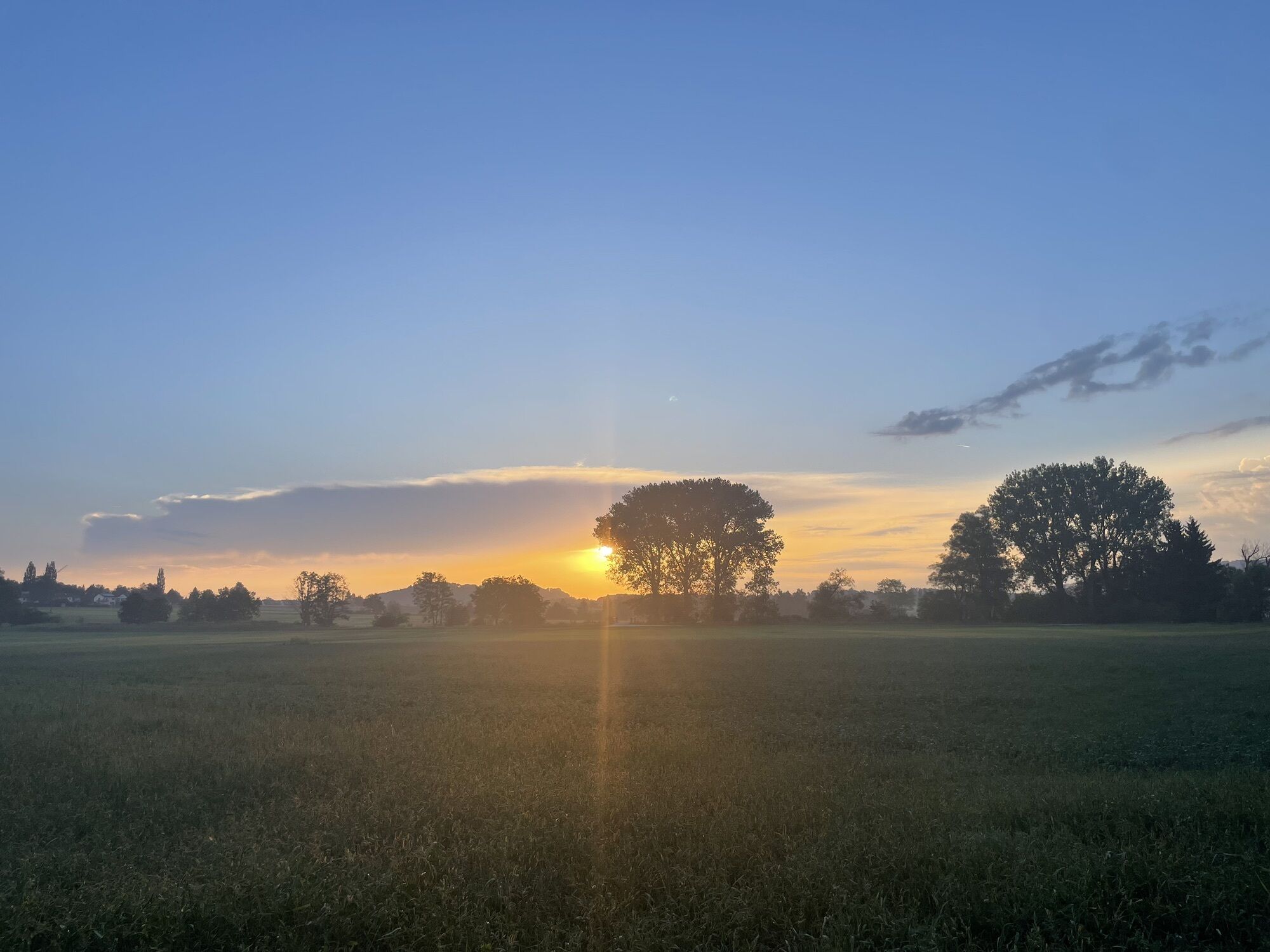
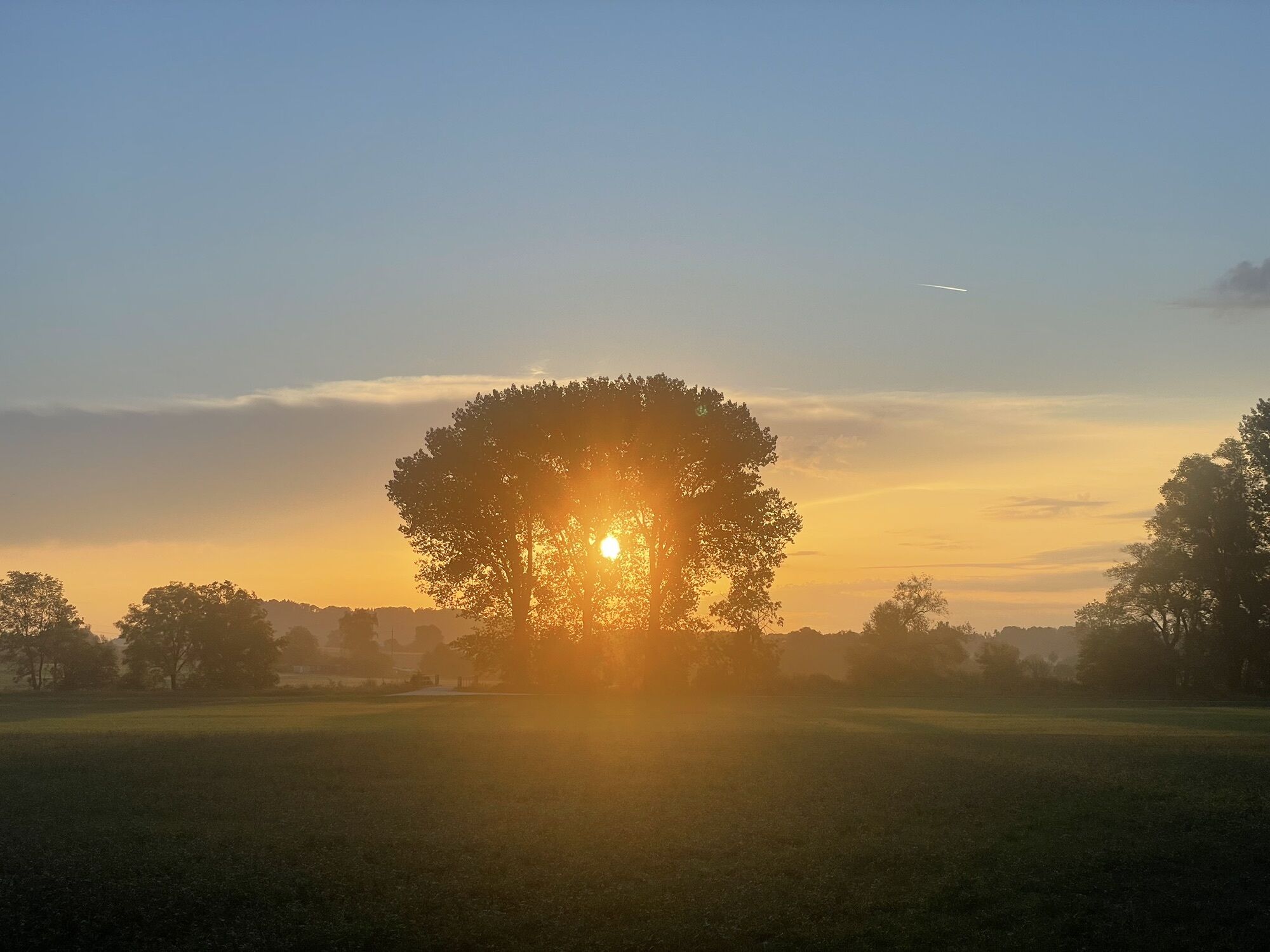
Fotografie našich používateľov
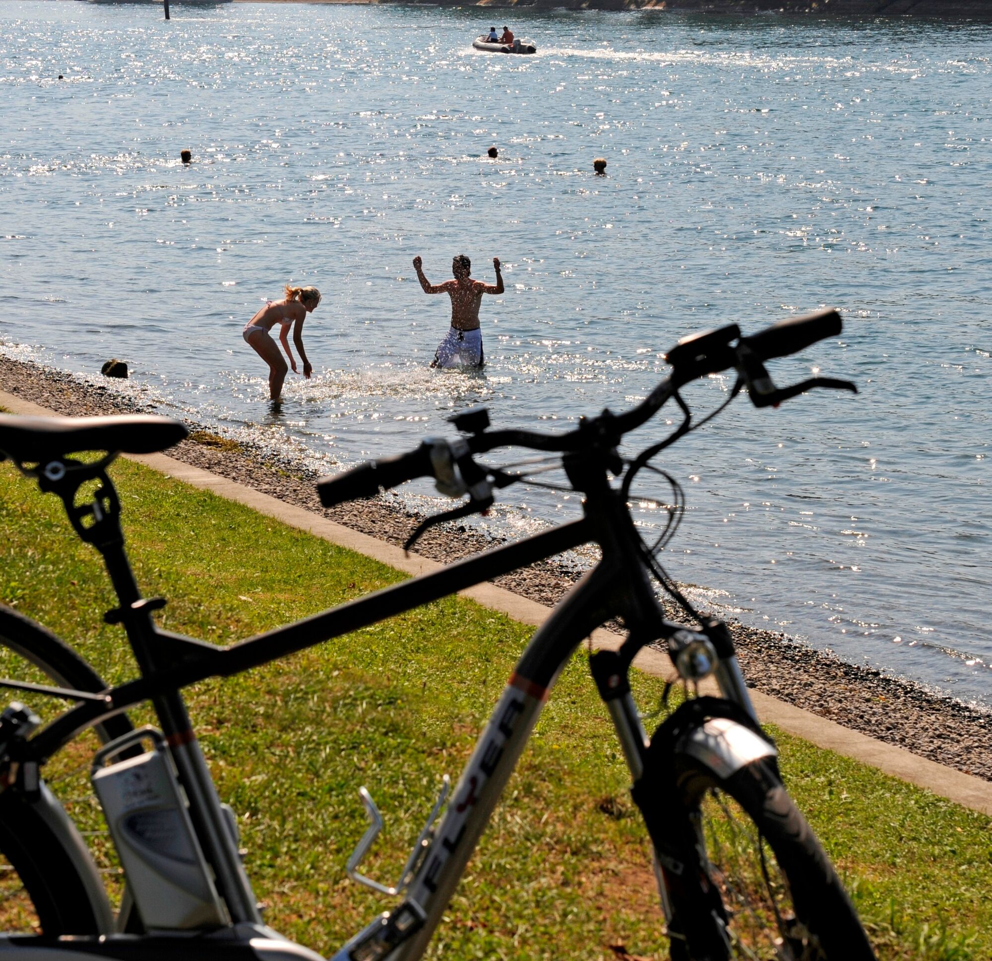
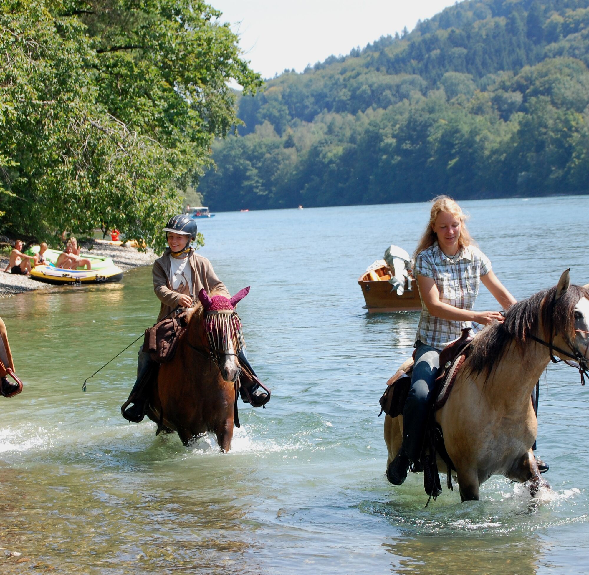
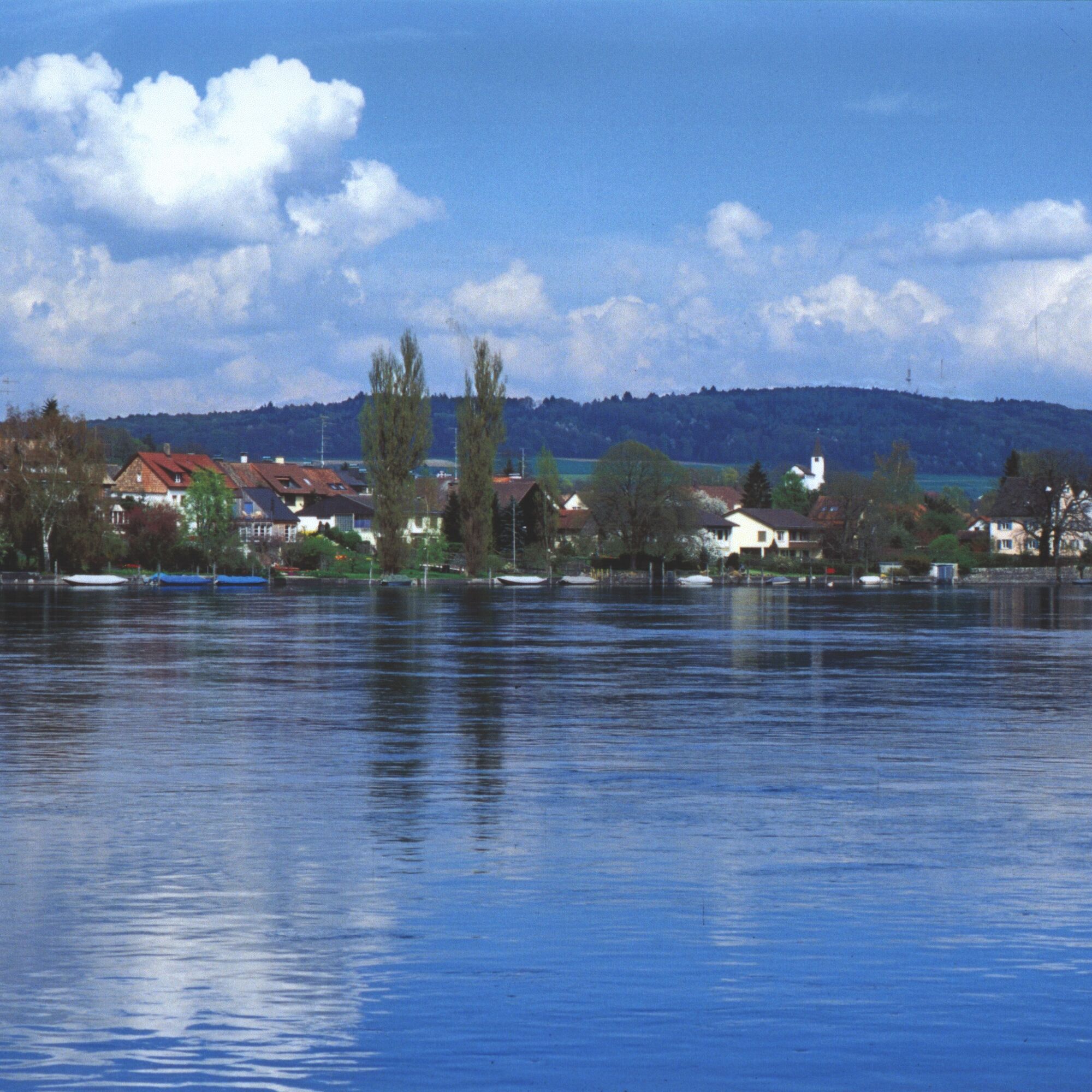
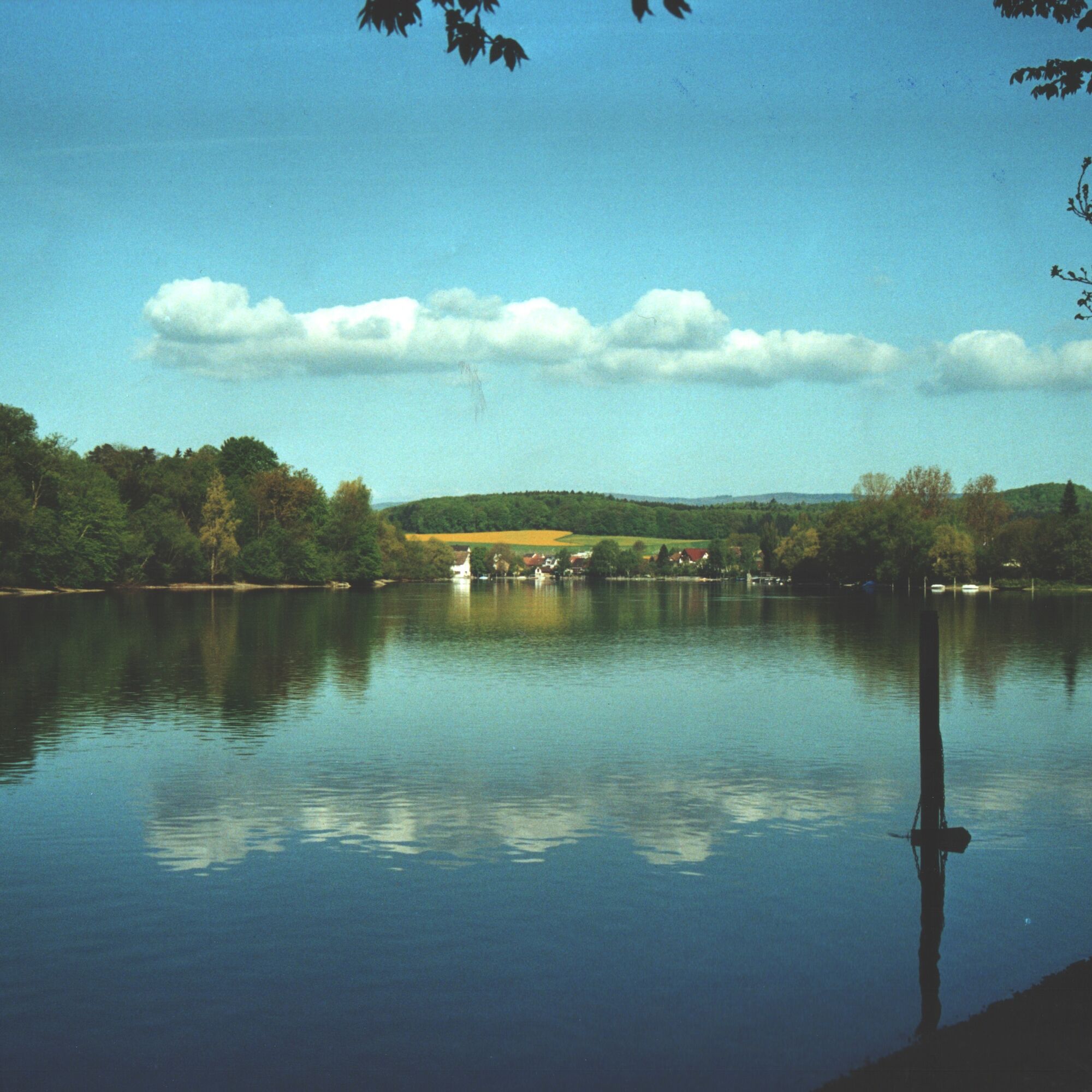
The starting point is the Hochrhein municipality of Gailingen. The Rhine is a constant companion of the route in the first part up to Schaffhausen and offers several opportunities to refresh yourself in...
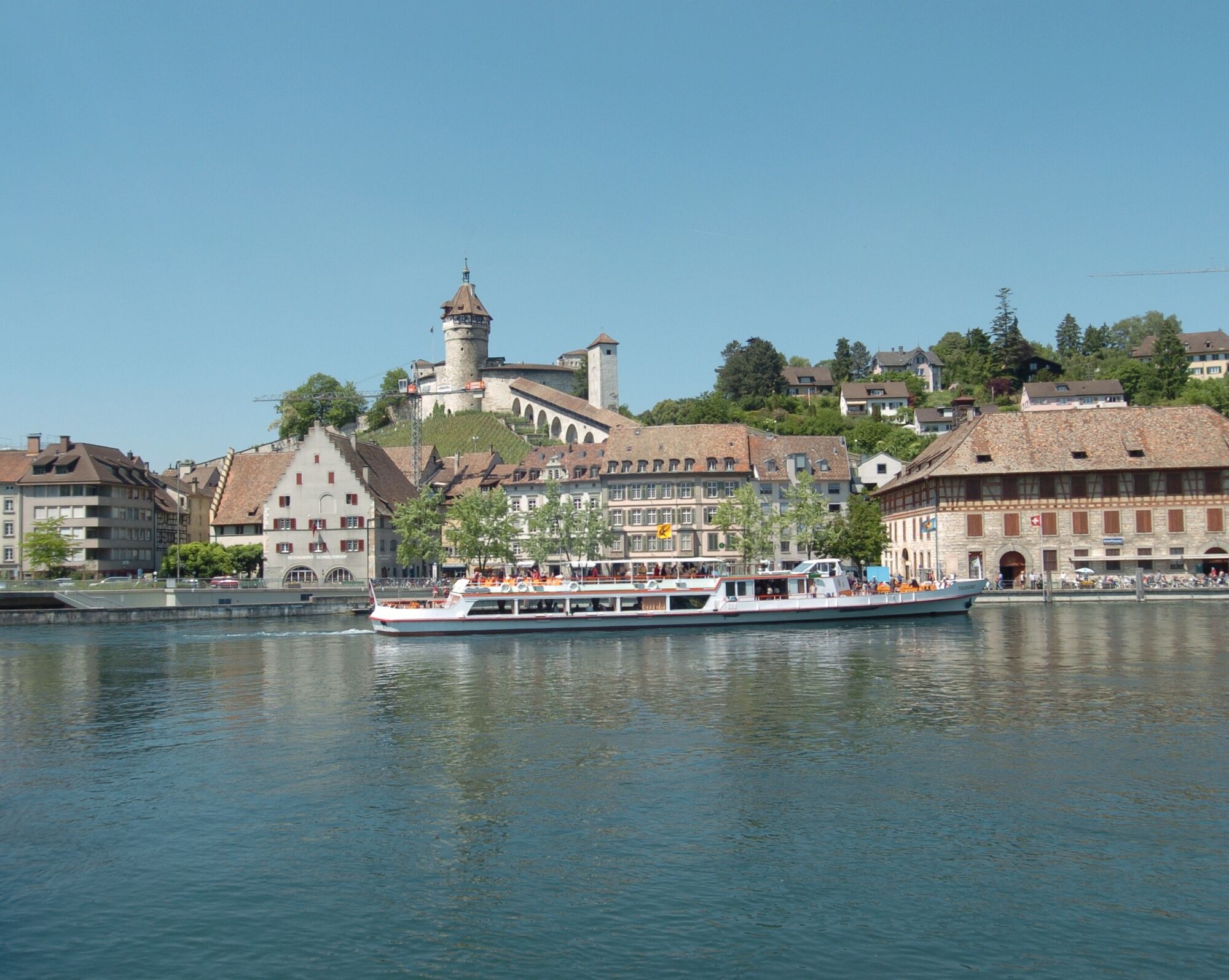
The starting point is the Hochrhein municipality of Gailingen. The Rhine is a constant companion of the route in the first part up to Schaffhausen and offers several opportunities to refresh yourself in the cool water during the tour. A visible and monumental highlight of this route is the Munot, high above the city of Schaffhausen.

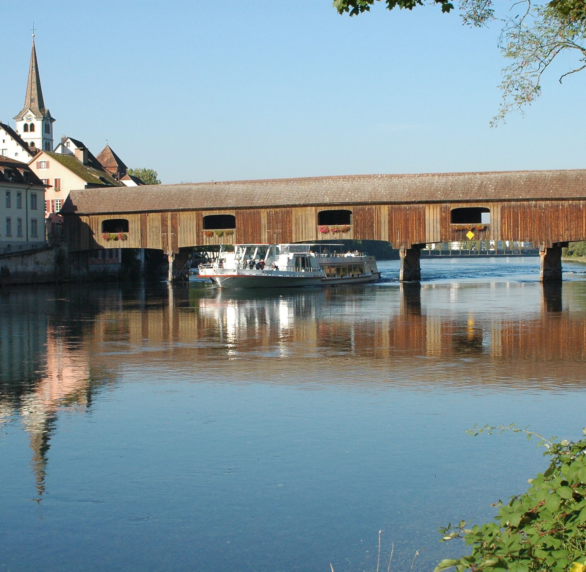
The starting point of our cycling route is the Hochrheinhalle in Gailingen (469m). We ride eastwards past the youth center. Shortly afterwards, the paved path descends to the Rhine and then turns right. We cross the old wooden bridge to Diessenhofen (396m), kilometer 3.6, and ride up the cobbled road. After the left turn, we turn left into Hintergasse. We ride straight on and soon reach Oberhof Castle. We ride over Oberhofgasse to the main street and see the Siegelturm tower on the left. Then it continues to the right. We turn right towards Gailingen and then left into Kirchgasse. Past the church, we reach
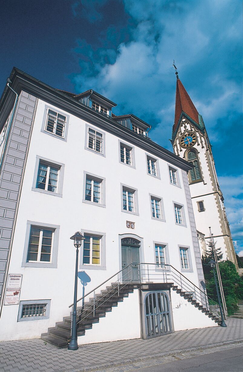
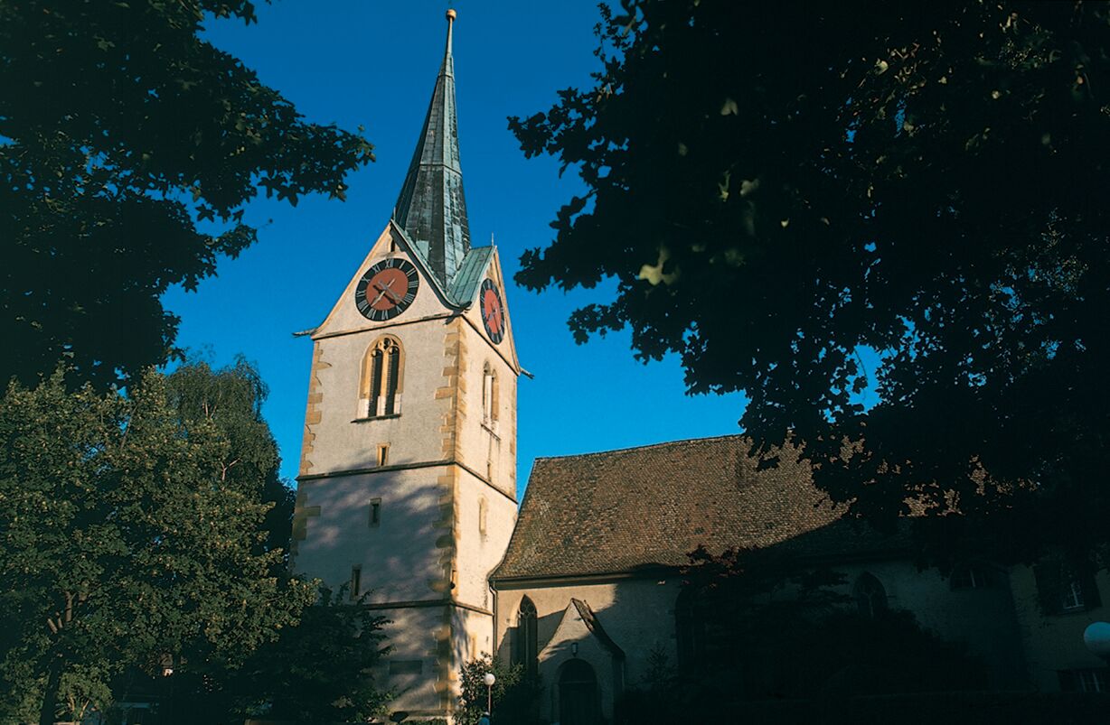
Unterhof Castle. We go back past the church to the Rhine bridge, cross it, and then turn left. We continue along the Rhine until a field path begins on the left after the water reservoir. There we turn left and ride along the Rhine through the forest and later on a paved path to Büsingen (400m). In the village center, on the left stands the old Junkernhaus. At a gas station, turn right and shortly afterwards right again into Buchthalerstraße. Shortly before Buchthalen, we pass a farmhouse. Above this farm, at the edge of the forest, is a nice barbecue area. Along Büsingerstraße at the beginning of Buchthalen, kilometer 10.8, goes half-right along Alpenstraße into Schaffhausen (385m), up to its end. Do not be confused; Alpenstraße is quite long. At the end of Alpenstraße begins the signage to Munot, which is on the left side. After visiting Munot, kilometer 13.5, go back to the junction and down Emmerbergstraße to the intersection. At kilometer 14.5 at the street fork with traffic lights, turn right along the railway line into Fulachstraße towards Herblingen. Over the second railway bridge on the left, then right to the roundabout with the traffic island. Straight ahead from here on the bike path towards Thayngen, first on Herblinger Straße, then right on Murackerstraße. At kilometer 17.5, turn right into Herblinger Tal. Use the entrance of the shopping center and then stay right. Continue on the bike path to Thayngen (485m). We ride through the industrial area of Thayngen and then turn left to the underpass of the railway line. We go under it and reach a roundabout, where we keep right into Dorfstraße. A short uphill section features the church of Thayngen
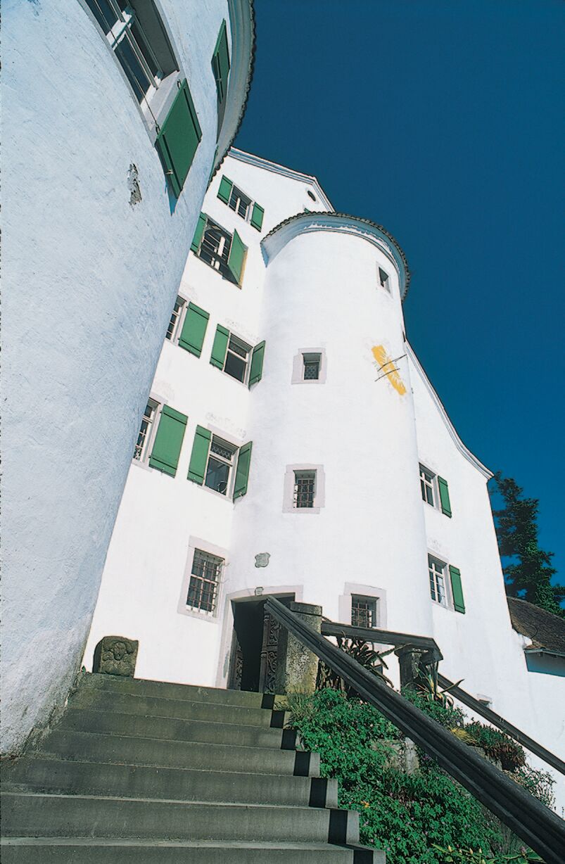
on the right side. We ride past the church straight into Wanngasse. Continue towards Bietingen (441m) to the Swiss-German customs. At the entrance to Bietingen, turn right into Zollstraße, then Dorfstraße, and finally into Biberstraße. On the left side, at kilometer 26.5, soon appears Bietingen Castle. After its exterior visit, we continue right along the Biber on a gravel path towards Randegg (430m). The gravel path soon changes into a paved path and we turn right at a stone cross. We reach K6149, turn left, and pass customs to Randegg Castle. We ride into the village, and at the end of the castle wall, a footpath goes up to the castle. Please leave bicycles down at the wall. After the exterior visit, continue down through Randegg past the church (oldest bell in Germany) to the bridge, kilometer 30.0. Before the bridge, turn right along the Biber towards Buch. The gravel path changes into a paved path. We reach another paved path and turn right. We go uphill and at the customs hut turn left to Buch (416m). Continue past the church, kilometer 33.0, then left again and at the bridge turn right onto the bike path to Ramsen (410m). Before the bridge, turn right past farms and houses onto a field path towards Wilen. Shortly, the field path turns into a paved path. Passing Karollihof, we reach Bibermühle (398m) at kilometer 38.5. After a short climb, we go through the forest, then turn right along the edge of the forest, and again left onto a paved path. Past the shooting range, over a bridge, then past the dog shelter uphill. At the next junction, we have two options. Option 1: We keep left and reach our starting point by turning right past the youth center. We drive by car to the village center and uphill towards Kliniken Schmieder. On the right, after the church, stands the Liebenfelsisches Schlösschen. Further uphill just before Kliniken Schmieder, in a right curve, turn left to Bürgli Castle (570m). The parking lot is reached via the gravel path above the clinic area in the forest. From there, we walk to Bürgli Castle. Option 2: We continue uphill and turn left into the village. At the intersection in the village center, turn right into Bergstraße, past the church to the Liebenfelsisches Schlösschen. Our path continues uphill towards Kliniken Schmieder. In a right curve, a path to Bürgli Castle turns left. After the visit, we ride down the steep section past the church back to Hochrheinhalle, our starting point.
Áno
Áno
Take the A81 to the end of the highway in Bietingen. From there via L190 over Randegg to Gailingen.
Parking lot at the Hochrheinhalle
2
Marking: red cycle path signage with no. 5 and castle logo
Webové kamery z prehliadky
Obľúbené výlety v okolí
-
4,6
Small Rheinfall Circular Route
svetloTuristika 3,48 km -
4,8
Rundwanderweg Rheinau
svetloTuristika 6,85 km -
3,7
Firstweg Langenmos
strednáTuristika 5,76 km -
3,3
"Hegauer Kegelspiel" Wannenberg hike
strednáTuristika 9,35 km -
Stein am Rhein - Hohenklingen Castle - Stein am Rhein
ťažkéTuristika 7,79 km -
Castle trail 1 - From Tengen via Blumenfeld and back via Büßlingen
strednáTuristika 10,1 km -
SwitzerlandMobility 902: Reiatweg
strednáTuristika 19,0 km -
5,0
"Hegauer Kegelspiel" Hegau Volcano Tour
ťažkéTuristika 29,2 km -
Wangener Bänkleweg 2 West
strednáTuristika 7,54 km -
5,0
"Hegauer Kegelspiel" Hohentwieler
strednáTuristika 7,21 km

Turistika a stopovanie


Nenechajte si ujsť ponuky a inšpiráciu na ďalšiu dovolenku
Vaša e-mailová adresa bol pridaný do poštového zoznamu.