


Albtraufgänger (Stage 5) *Trauf-Panorama*
Úroveň náročnosti: T2
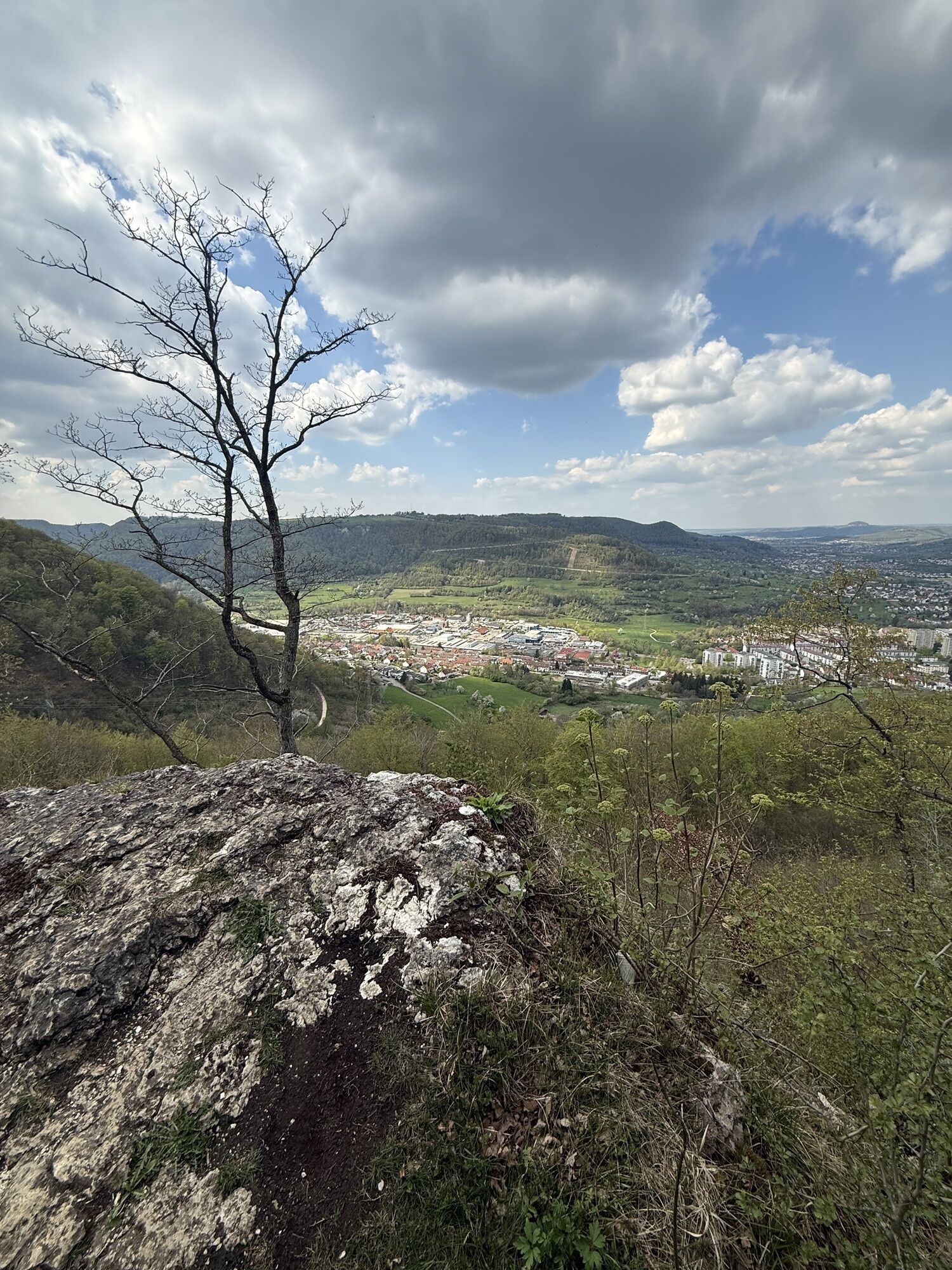
Encountering the unique landscape of the Albtrauf becomes an unforgettable experience: juniper heaths, orchid meadows, and striking rock ledges characterize the Erlebnisregion Schwäbischer Albtrauf. Experience...
Encountering the unique landscape of the Albtrauf becomes an unforgettable experience: juniper heaths, orchid meadows, and striking rock ledges characterize the Erlebnisregion Schwäbischer Albtrauf. Experience gentle hilltops, valleys, and health-promoting springs. Pass through small towns and enjoy history, art, and culinary delights with Swabian tradition. The Albtraufgänger route captures all enchanting facets of the region and offers relaxation and adventure at the same time.
Erlebnisregion Schwäbischer Albtrauf e.V.
Weberstraße 7 | 73084 Salach
07162 70414-20 | info@mein-albtrauf.de | www.mein-albtrauf.de

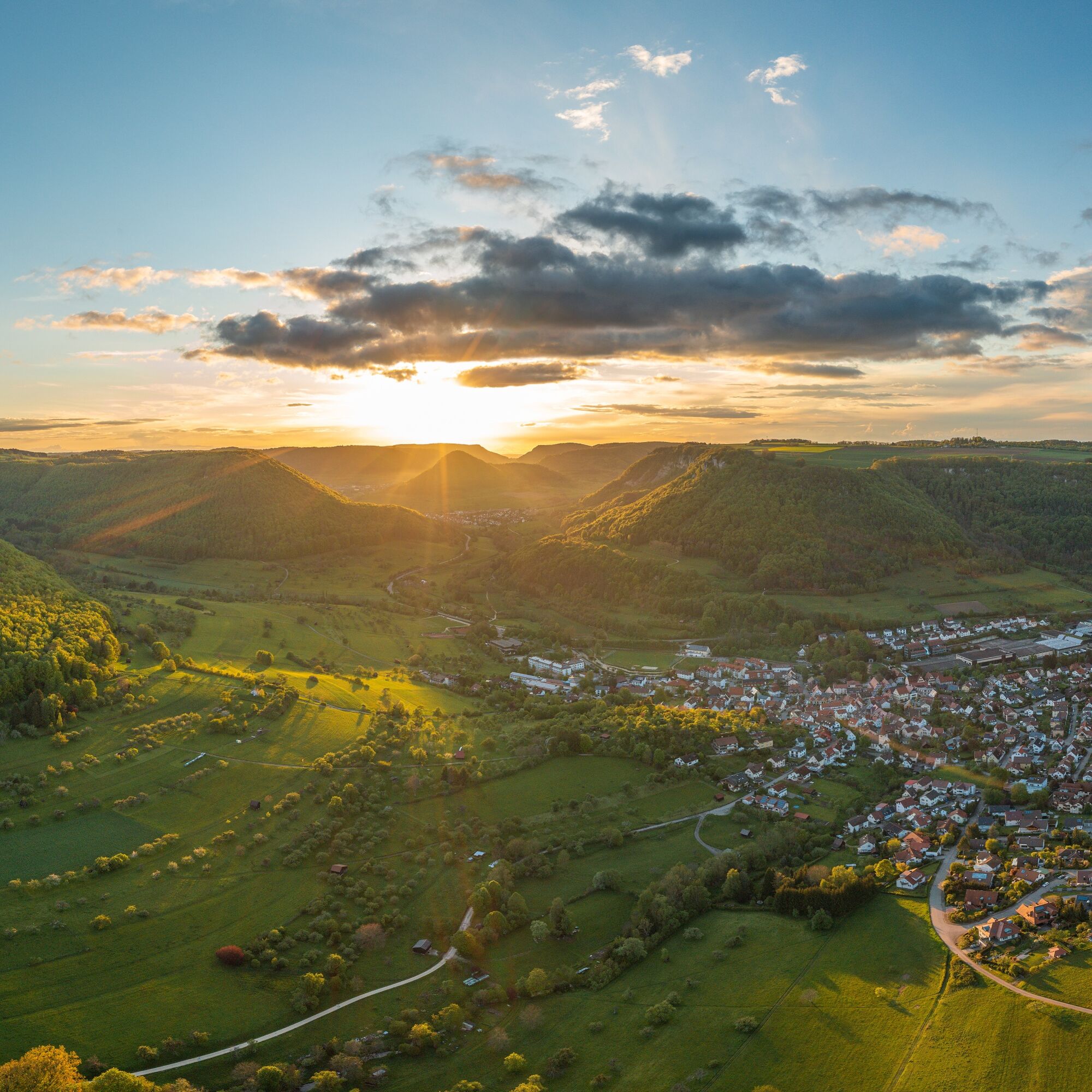
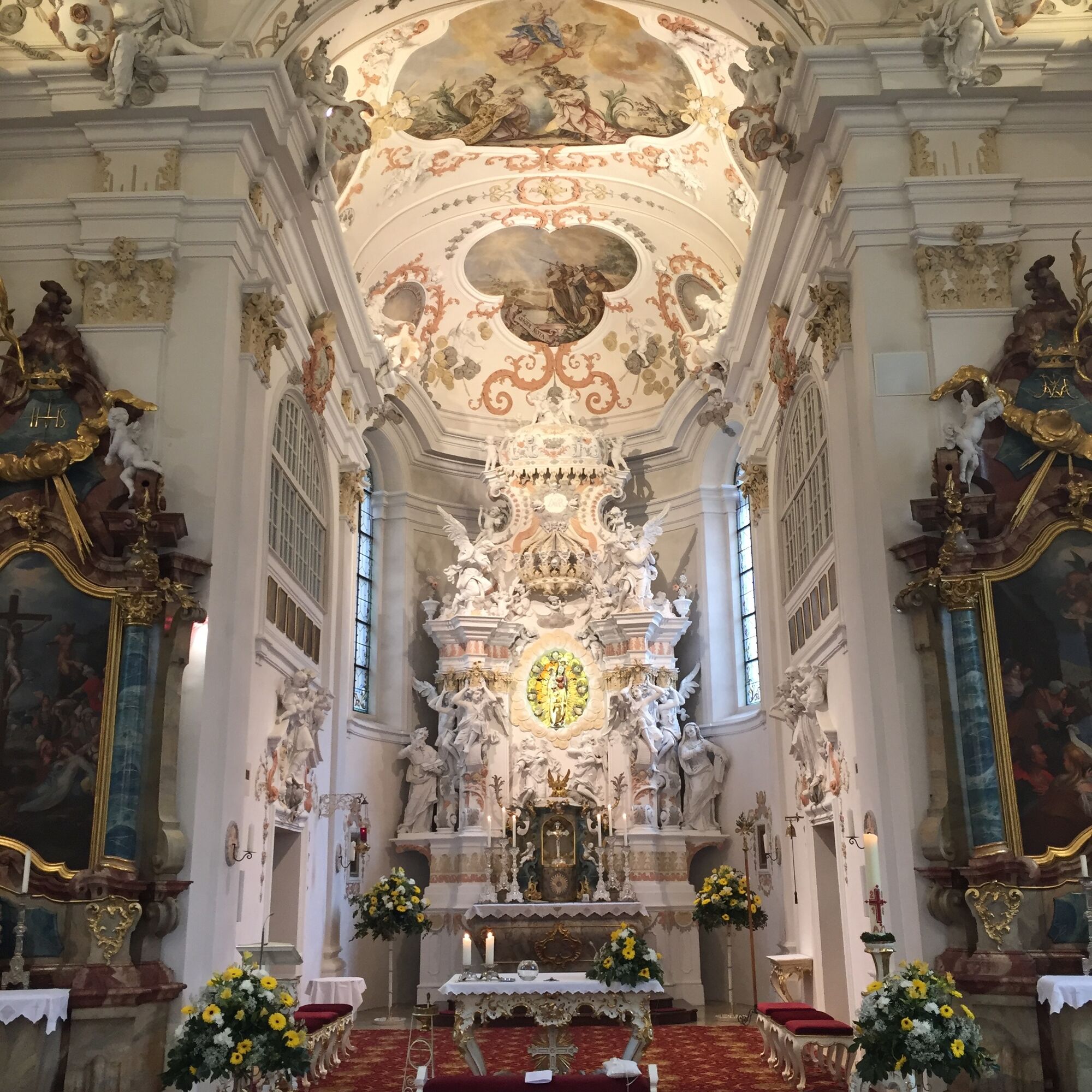


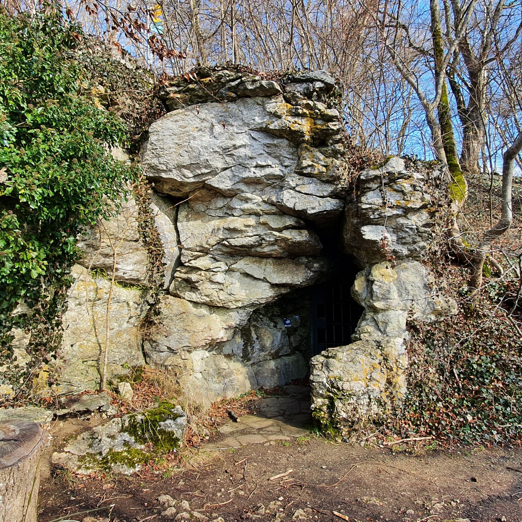
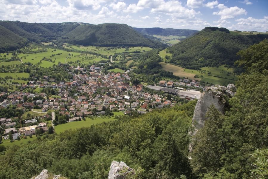
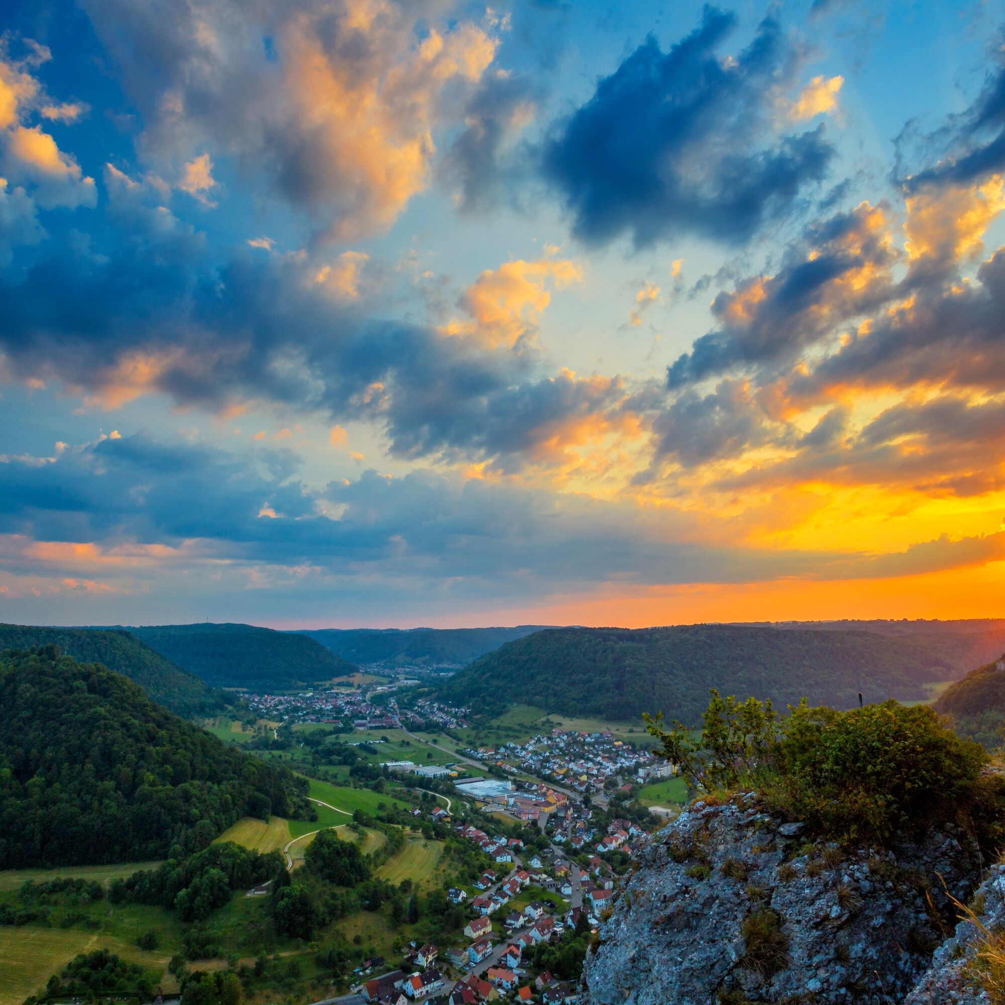

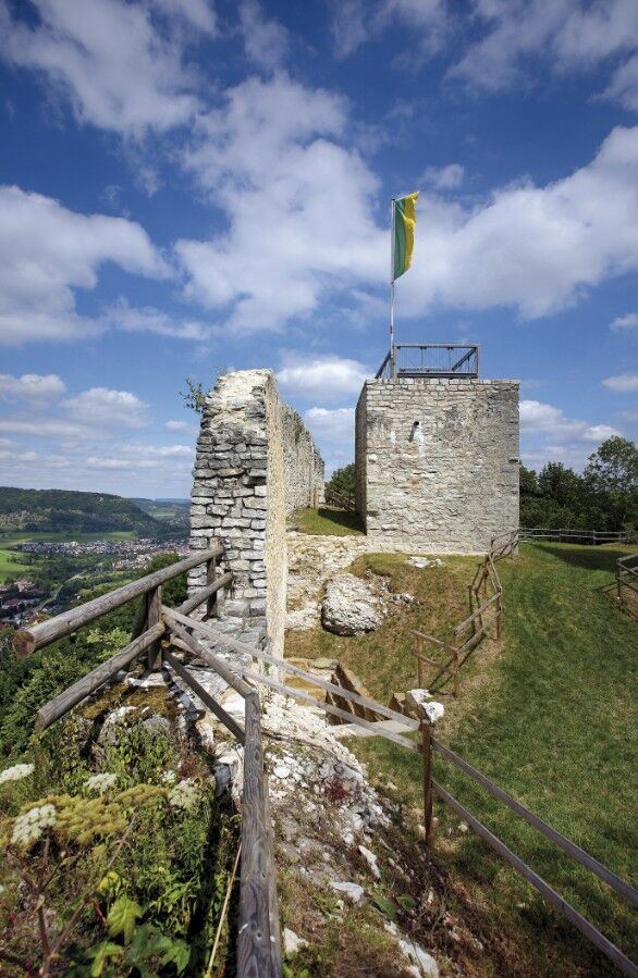
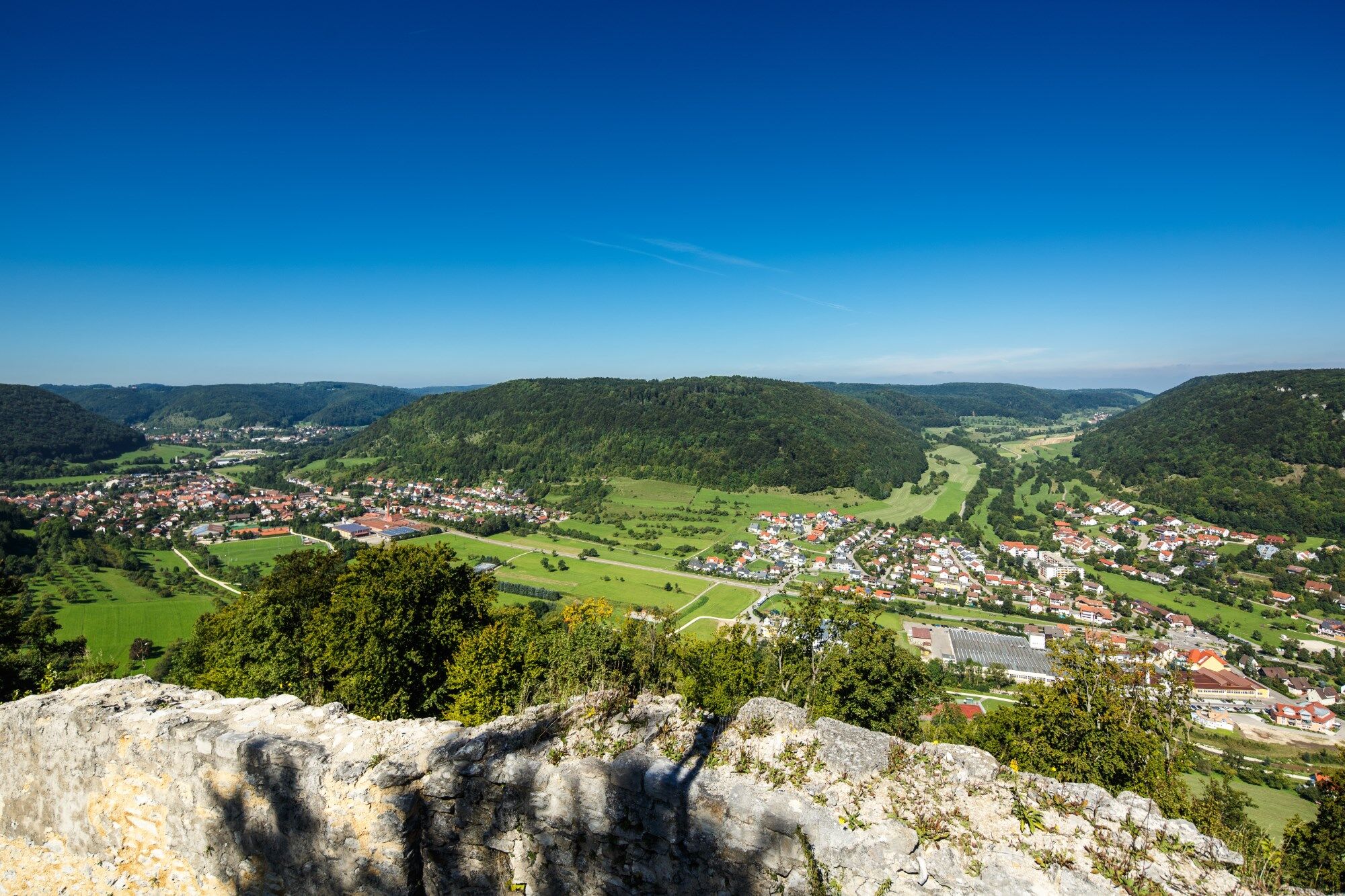
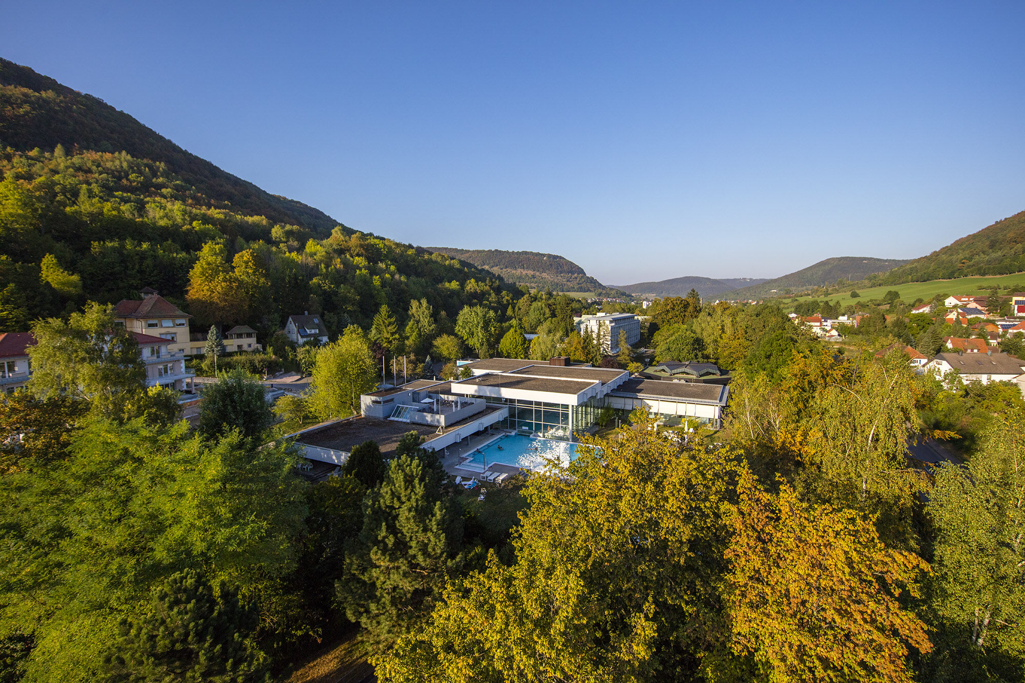
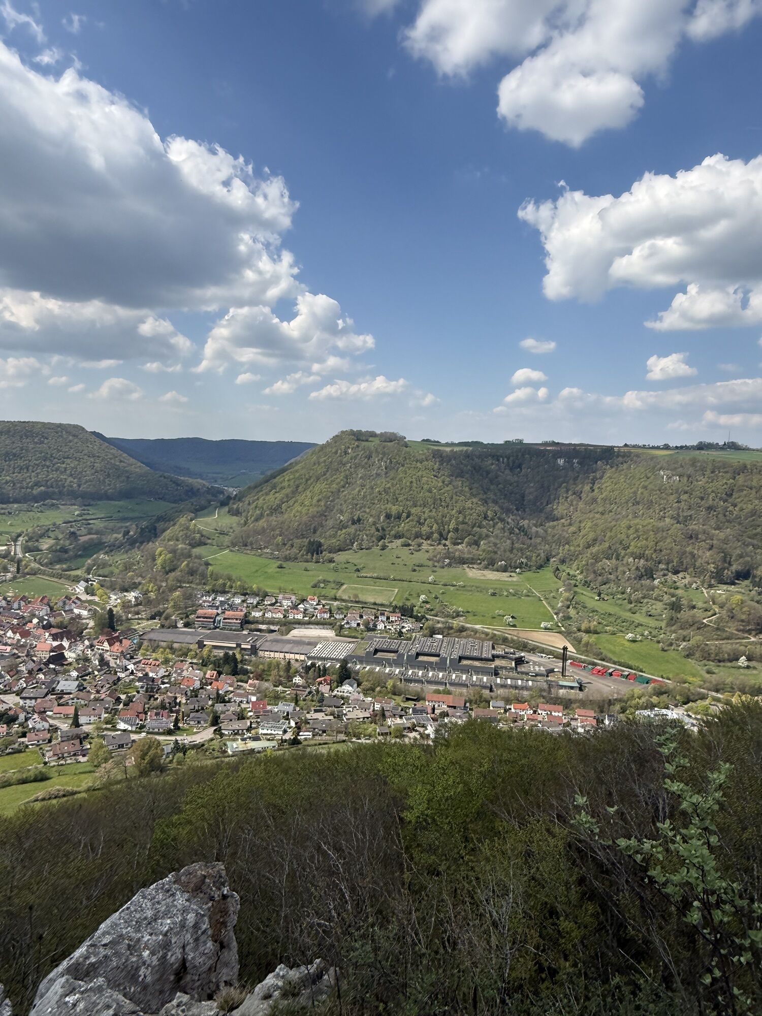
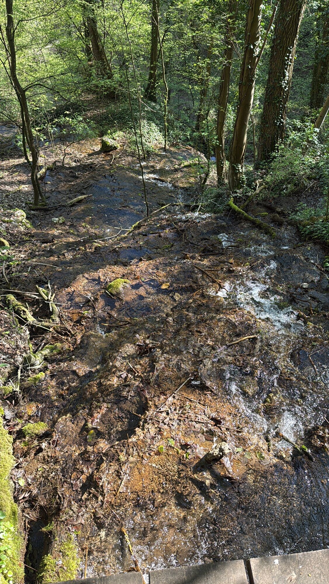
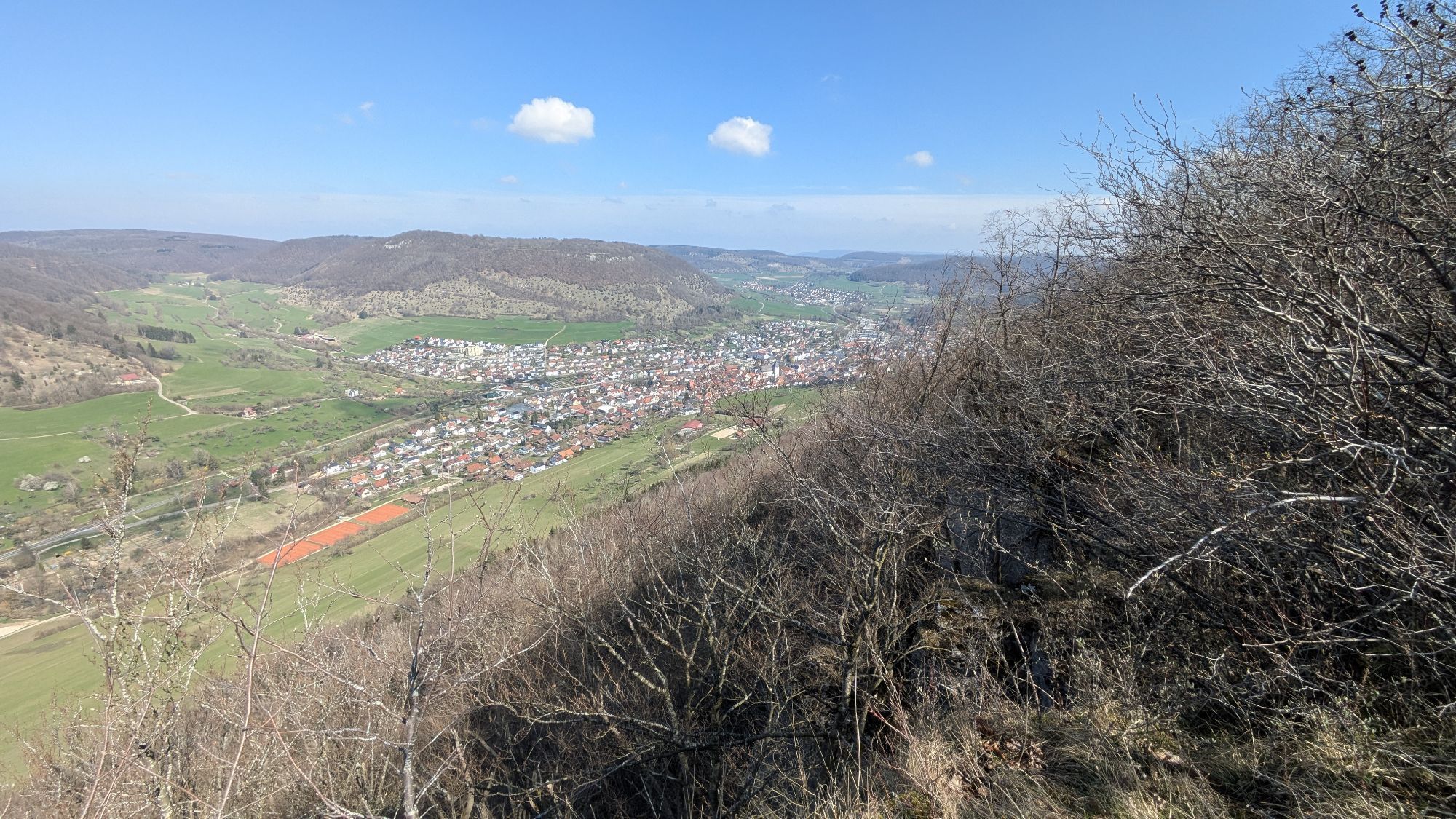
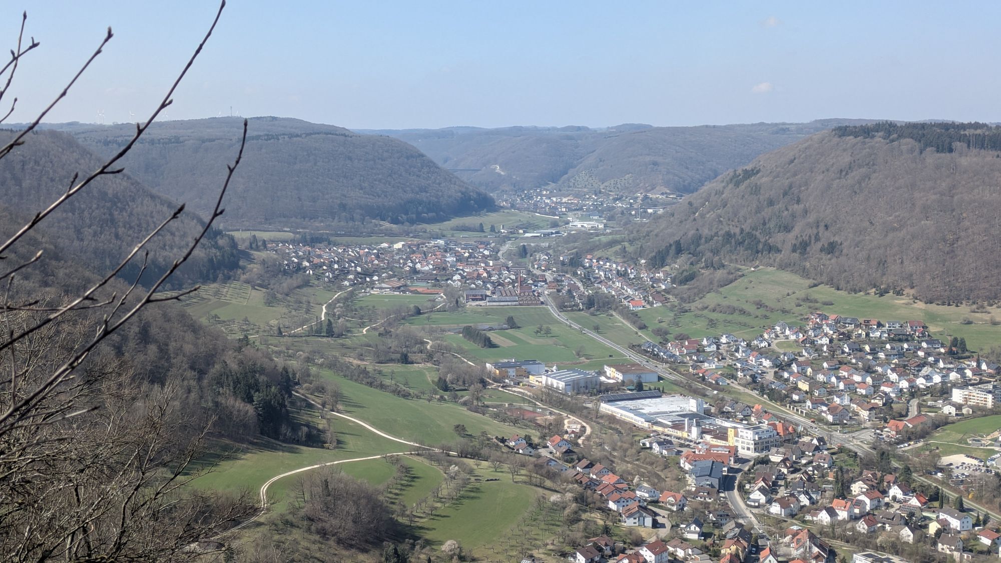
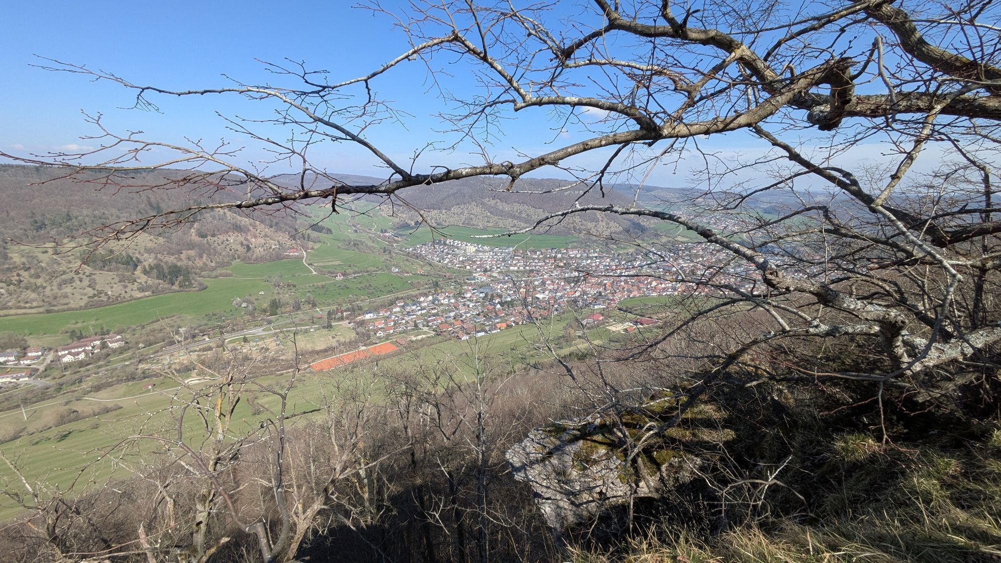
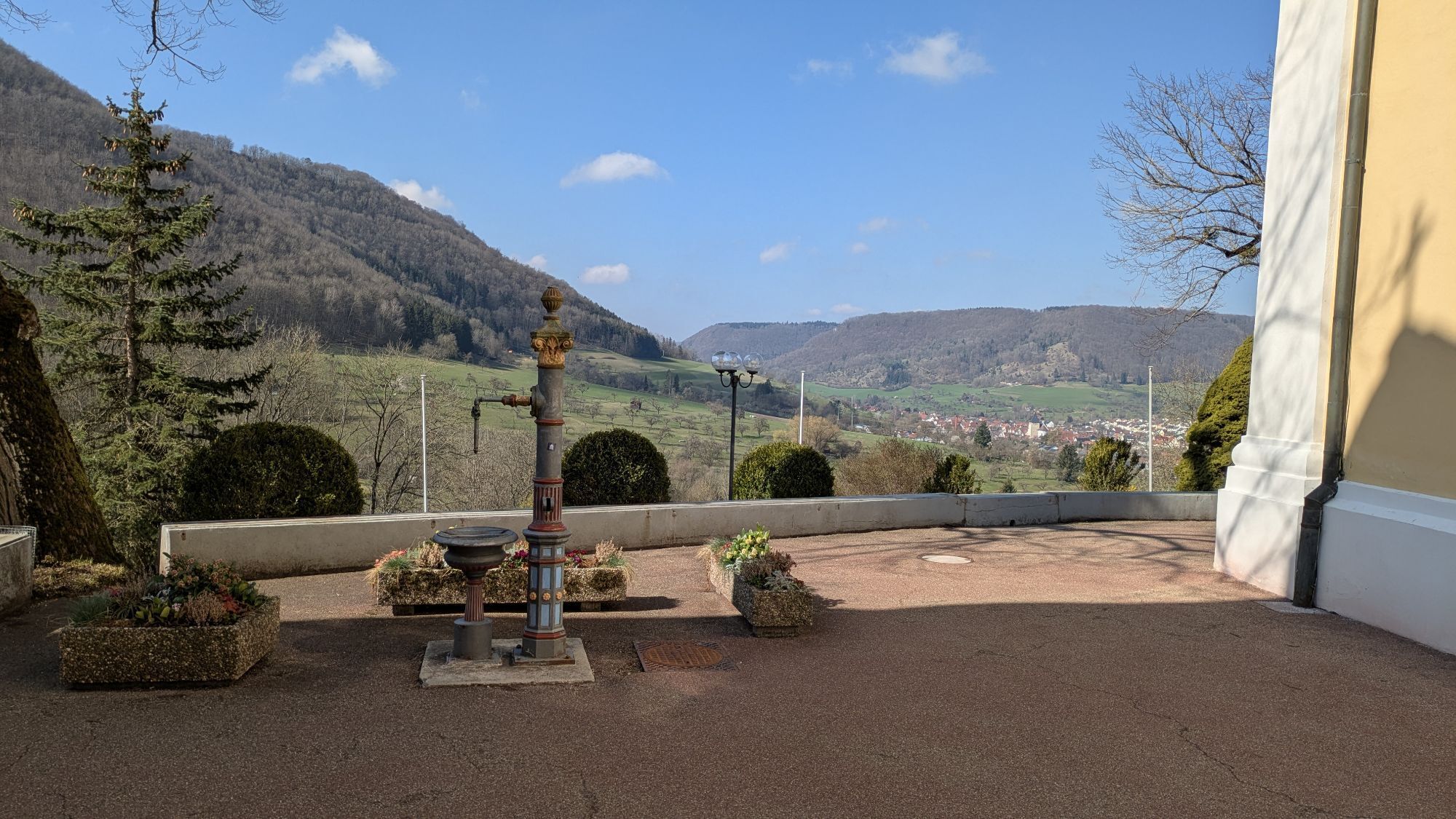
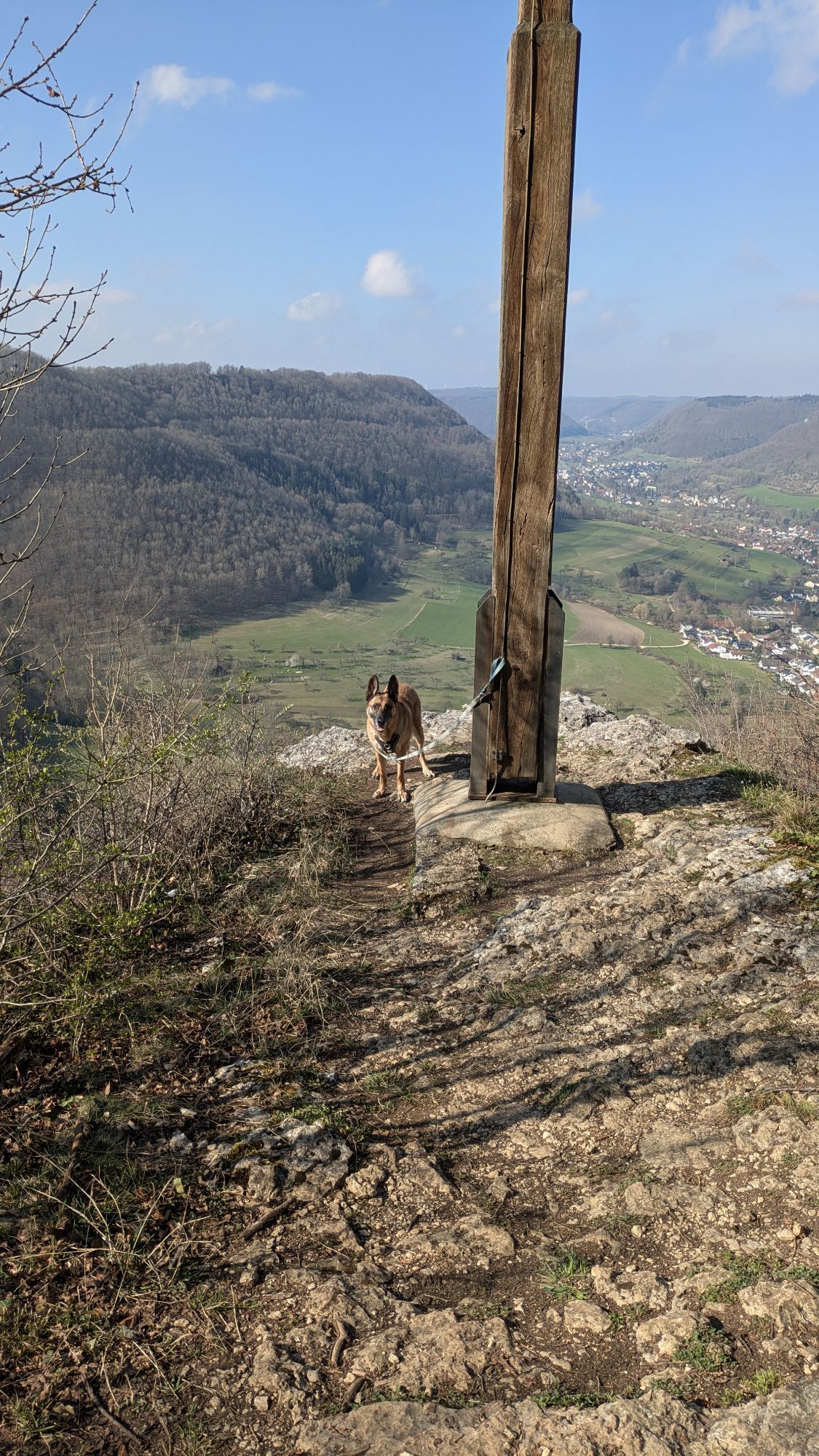
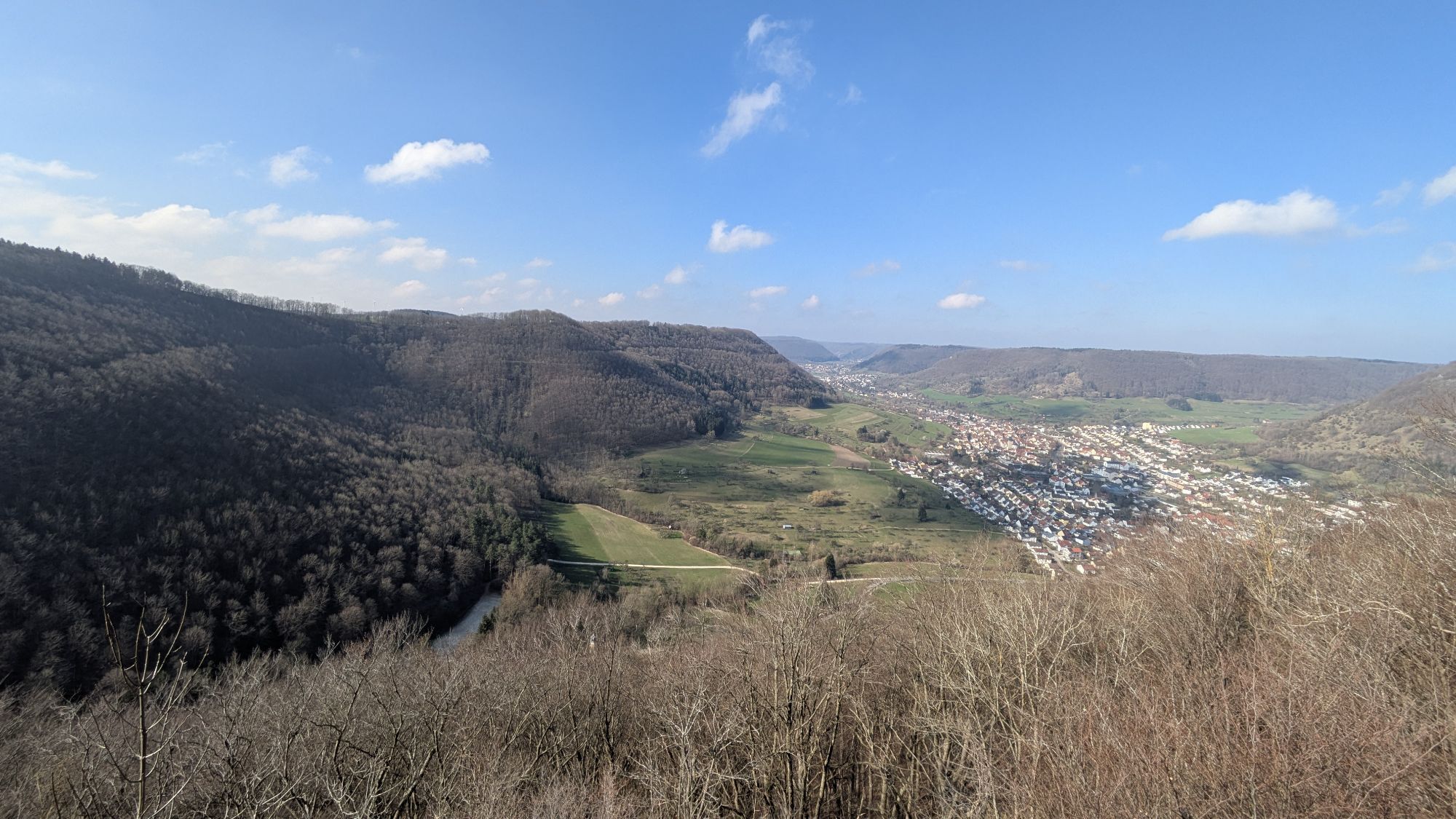
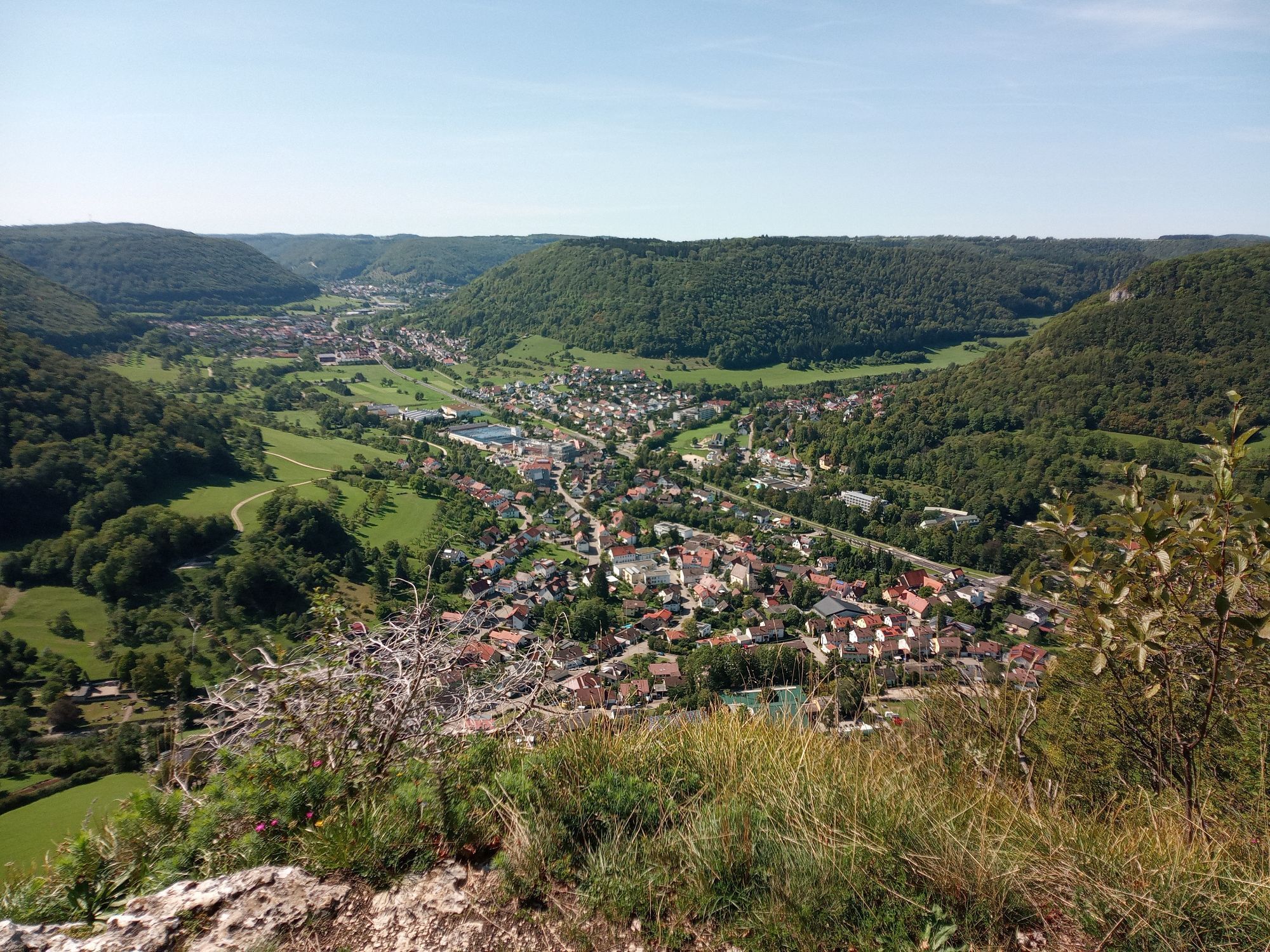
From Geislingen, head towards Türkheimer Steige to the Schildwacht with the impressive Ostland Cross. From there, you have a beautiful view over Geislingen, the Helfenstein ruins, and the Ödenturm. The Albtraufgänger crosses the Türkheimer Steige and continues along the Alb edge to the Kahlenstein viewpoint, embedded in a unique landscape setting. Downwards through a juniper heath, the Albtraufgänger leads towards Bad Überkingen. In the spa town of Bad Überkingen, you can wonderfully regenerate from the efforts of the hike in the Thermal Bath and the salt grotto. The path of the Albtraufgänger continues into the Autal nature reserve, following next to the Autal waterfalls to the Alb plateau. From about March every year, the fascinating March snowflake blossoms can be admired in the Bad Überkingen Autal and in the Rötelbachtal. Passing Aufhausen on the Alb plateau, the path goes downhill to the Ave Maria monastery church near Deggingen. The church is a popular pilgrimage site and fascinates with art from the late Baroque. A visit to the monastery church is an absolute must. Over the former Berneck castle, past the Oberbergfels viewpoint to the Schonterhöhe, the path goes downhill to the stage end on the castle hill with the Hiltenburg ruins.
Sturdy footwear, weatherproof clothing
The ascents require sure-footedness, good physical condition, and sure footing, especially when wet.
You can reach the starting point of the route in Geislingen an der Steige by car via the A8, Stuttgart - Ulm, exit Mühlhausen (B 466) or exit Merklingen (L 1230) towards Geislingen an der Steige.
Take RE 5 or MEX 16 from Stuttgart or Ulm to Geislingen/Steige station. From there, it is possible to take lines 951 or 965 to the "Stadtkirche" stop in Geislingen. From there, it is about a 5-minute walk until the hiking trail begins.
You can find the circle timetable at: www.vvs.de/fahrplan
There are parking facilities in Geislingen.
Áno
T2
Respectful coexistence in the Göppingen district.
Code of conduct:
Respect trail closures and the quiet zones developed in the recreational trail concept. Leave no traces such as litter or animal droppings; treat your path gently. Act proactively and considerately. Adapt your behavior to the situation. Safety first. Respect other users of forest and field. Take care of animals and plants. Plan ahead and use daylight. Try to avoid dawn and dusk. Observe the prohibition on entering agriculturally used areas during the growing season. Stay on designated paths and avoid forest edges; this helps wildlife better get used to humans.More information at ruecksicht-macht-wege-breiter.de
Points of interest
Ostland Cross, Geislingen/Steige Kahlenstein viewpoint Thermal Bath Überkingen Autal waterfalls, Bad Überkingen March snowflake blossom, Bad Überkingen Ave Maria monastery church, Deggingen Buschelkapelle viewpoint Oberberg rock viewpoint Hiltenburg castle ruins, Bad DitzenbachObľúbené výlety v okolí
-
4,5
Löwenpfad "Orchideenpfad" - Herbs, Pasqueflower and Juniper Heathlands
strednáTuristika 9,33 km -
4,8
Löwenpfad "Filsursprung-Runde" - pure nature around the Reußenstein
strednáTuristika 14,1 km -
5,0
Lion trail "Berta-Hörnle-Tour" - castle stories in a dreamlike setting
ťažkéTuristika 14,7 km -
4,4
Löwenpfad "Geislinger Felsen-Tour" - up and down through the Eybach valley
strednáTuristika 10,8 km -
4,5
Löwenpfad "Weitblick-Tour" - High up and far-reaching view
ťažkéTuristika 12,0 km -
4,7
Löwenpfad "Filstalgucker" - views from the heart of the Filstal valley
strednáTuristika 13,0 km -
5,0
Boßler circuit
strednáTuristika 8,59 km -
3,7
Löwenpfad "Wasserberg-Runde" - pure panorama and typical Swabian Jura landscapes
ťažkéTuristika 12,0 km -
3,5
Lion trail "Messelberg tour" - hiking with impressive views
strednáTuristika 7,72 km -
4,3
Lion Trail "Steigen Tour" - Along the Swabian construction of the century
ťažkéTuristika 16,1 km

Turistika a stopovanie


Nenechajte si ujsť ponuky a inšpiráciu na ďalšiu dovolenku
Vaša e-mailová adresa bol pridaný do poštového zoznamu.