







Albtraufgänger (Stage 6) *Trauf idyll*
Úroveň náročnosti: T2
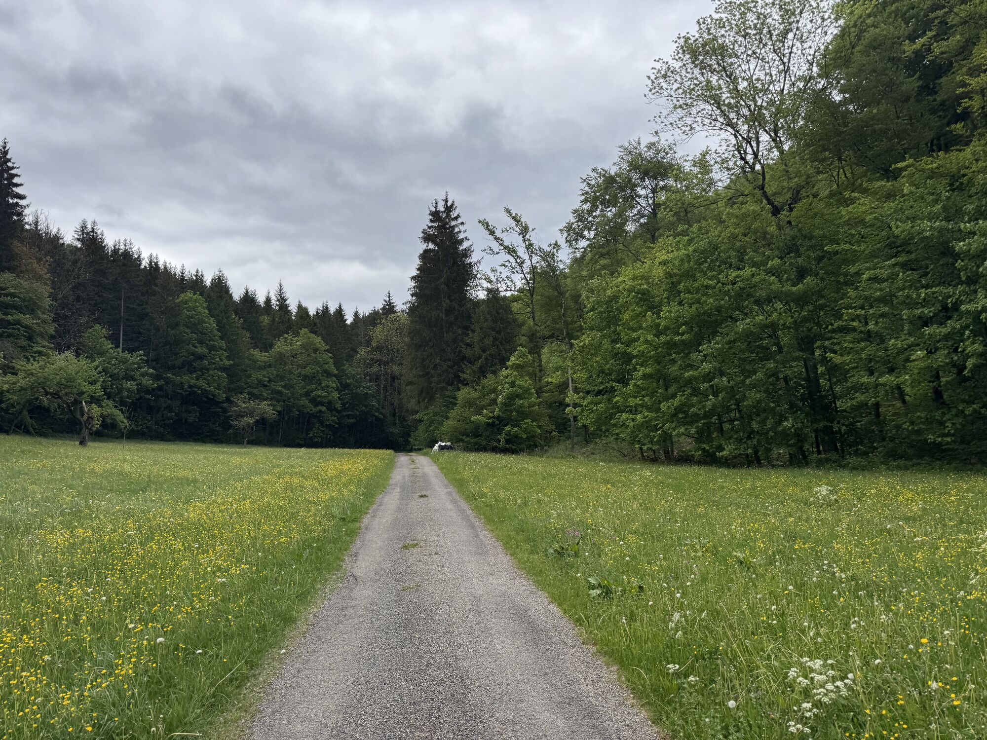
Encountering the unique landscape of the Albtrauf becomes an unforgettable experience: juniper heaths, orchid meadows, and striking rock outcrops characterize the Erlebnisregion Schwäbischer Albtrauf....
Encountering the unique landscape of the Albtrauf becomes an unforgettable experience: juniper heaths, orchid meadows, and striking rock outcrops characterize the Erlebnisregion Schwäbischer Albtrauf. Experience gentle mountain peaks, valleys, and health-enhancing springs. Pass small villages and enjoy history, art, and culinary delights with Swabian tradition. The Albtraufgänger route captures all the enchanting facets of the region and offers both relaxation and adventure.
Erlebnisregion Schwäbischer Albtrauf e.V.
Weberstraße 7 | 73084 Salach
07162 70414-20 | info@mein-albtrauf.de | www.mein-albtrauf.de

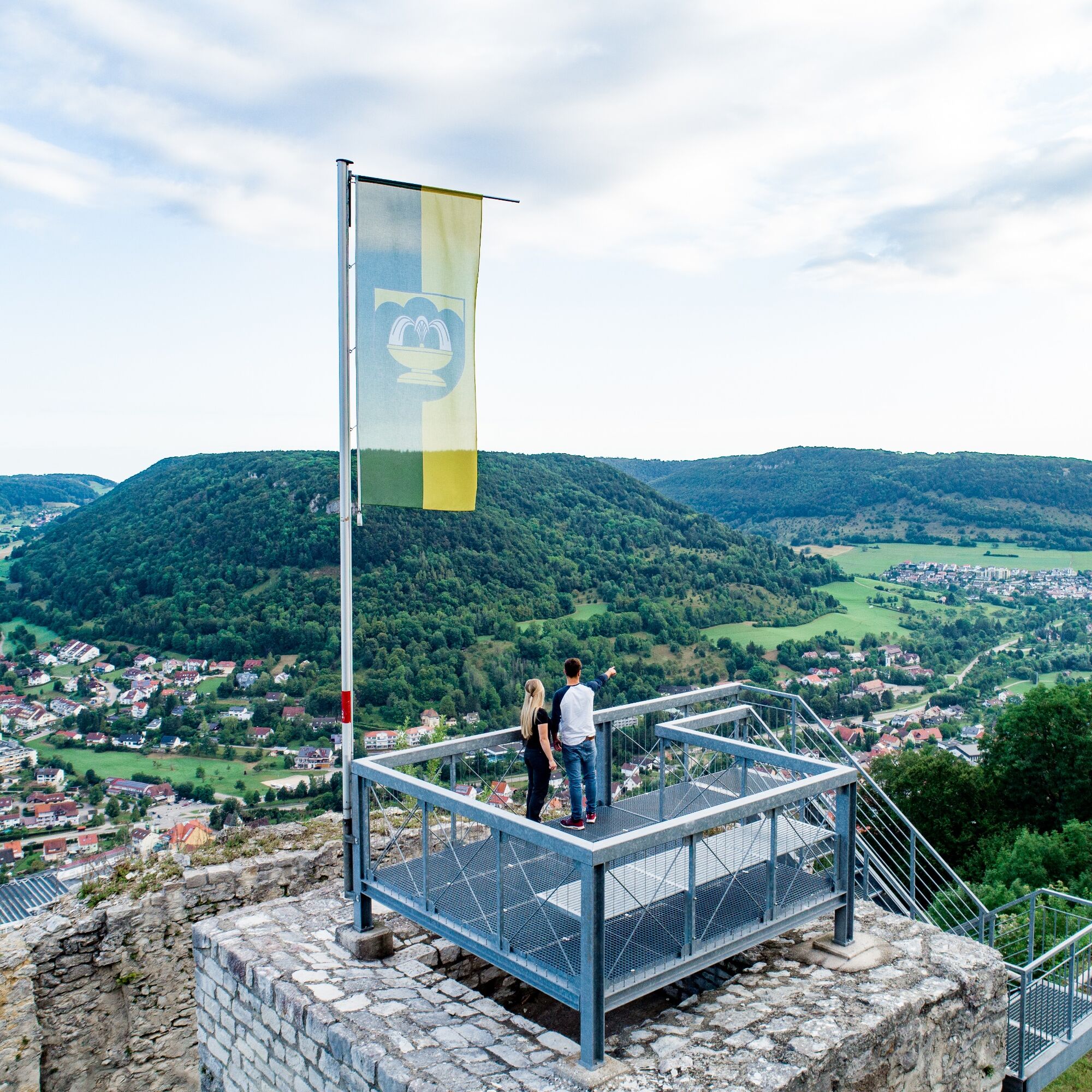

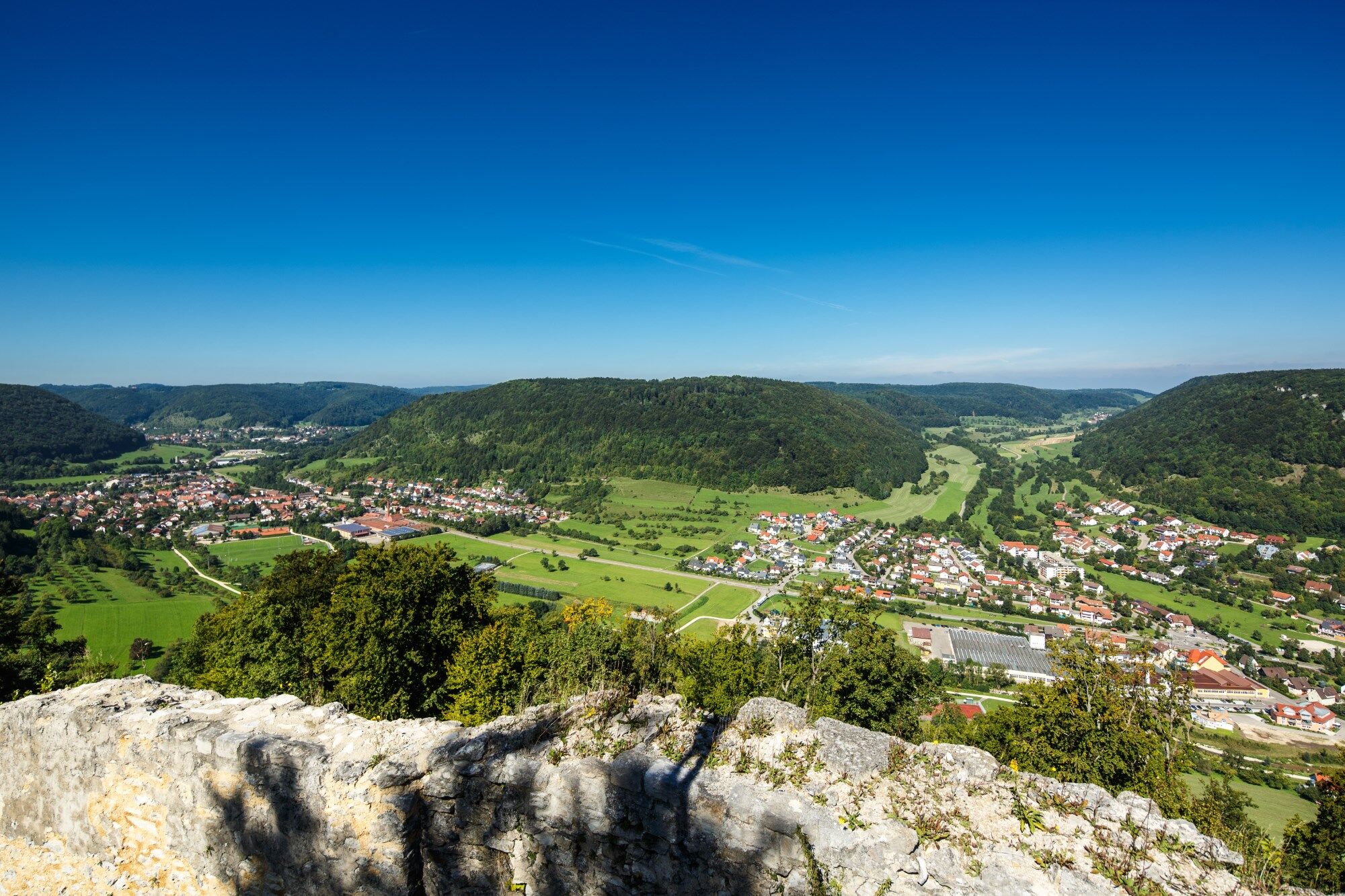
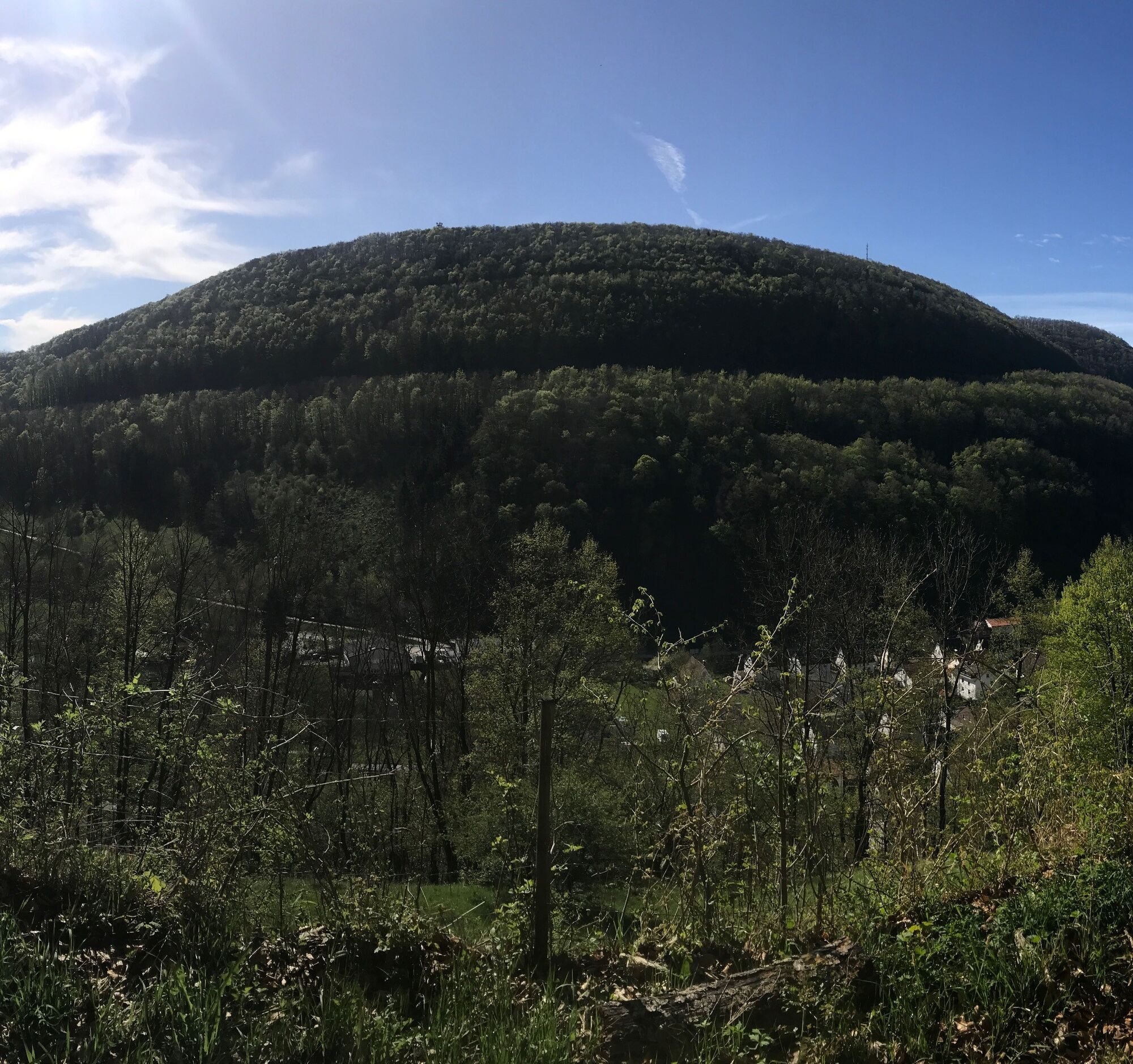
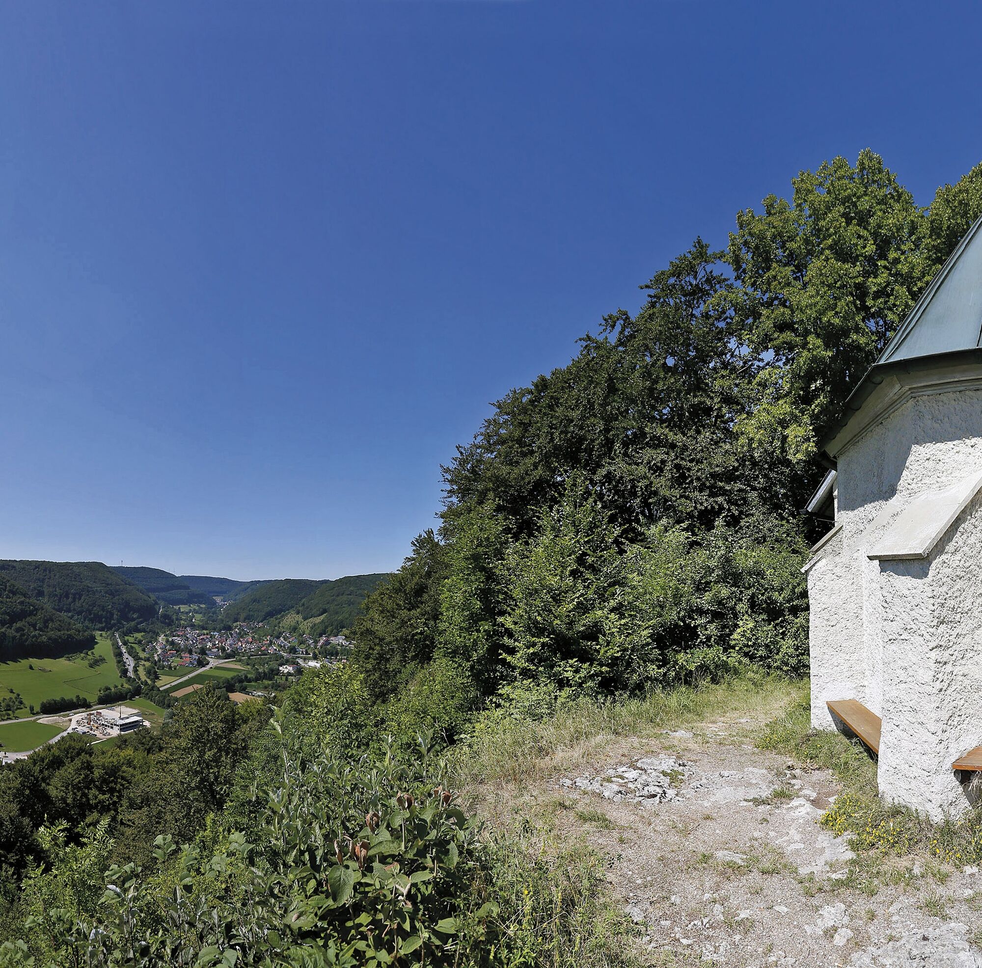
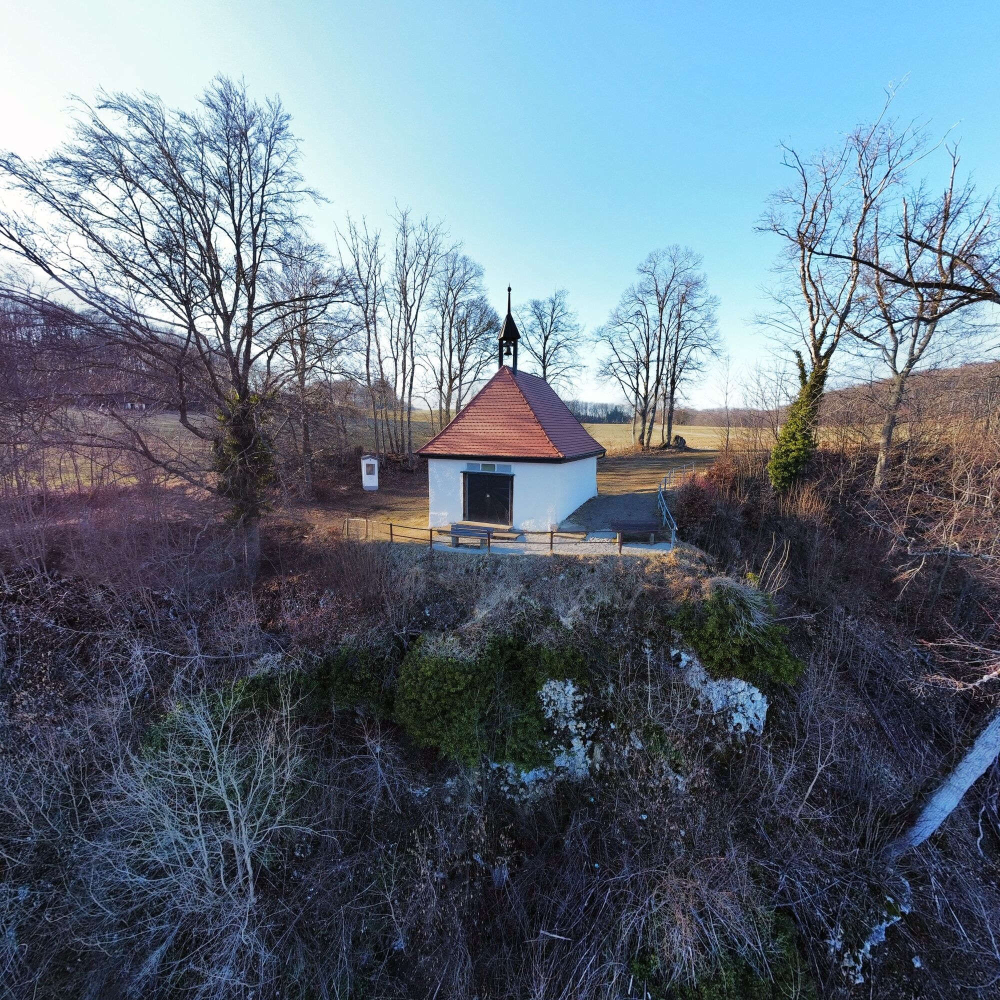
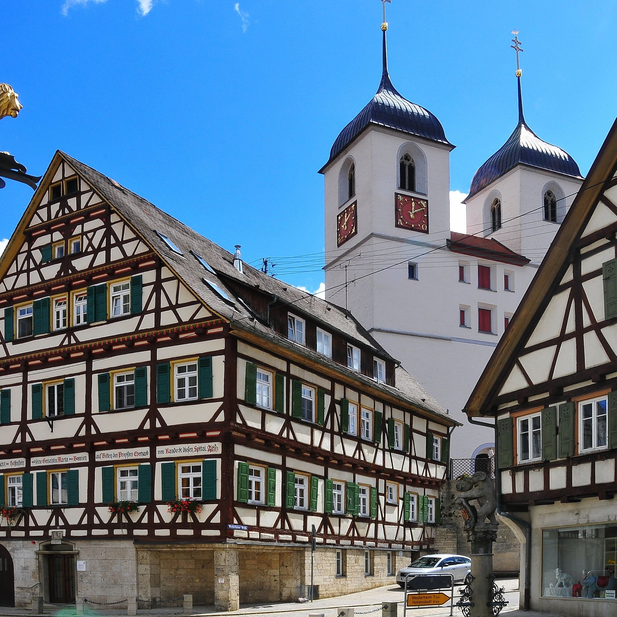

The stage starts at the impressive Hiltenburg ruin, which was once owned by the Helfensteiner noble family. From here, the descent continues over the Hilten valley into the district of Gosbach. Steeply up the Leimberg, the efforts are then rewarded with a panoramic view from the romantic Kreuzkapelle over the upper Filstal valley. Through an idyllic forest valley, you reach the village of Mühlhausen im Täle, centrally located in the beautiful Goißatal. Goats (Goißa) gave the valley its nickname. The typical Swabian name originated at a time when owning a goat provided people with milk, cheese, and hides. Therefore, many families had their own Goißa. Beyond the Hotel Höhenblick, the trail of the Albtraufgänger winds further through the forest and over the Buchsteige with fascinating juniper heaths and breathtaking views of the emerging Filstal bridge, continuing to Wiesensteig. The last section to the stage finish, the Residenzschloss (residence castle) of Wiesensteig, goes down over the Schlagfels and Sommerberg via the Wiesensteig Kreuzweg.
sturdy footwear, weatherproof clothing
The ascents require sure-footedness, fairly good fitness, and sure-footedness, especially when wet.
You can reach Bad Ditzenbach by car via the A8, Stuttgart - Ulm, exit Mühlhausen towards Geislingen an der Steige (B 466) or via the B10, exit in Geislingen an der Steige towards Bad Ditzenbach.
Line 966 runs from Geislingen to Bad Ditzenbach to the "Vinzenz Therme" stop. From the stop, it is about a 30-minute walk to reach the starting point.
You can find the circular timetable at: www.vvs.de/fahrplan
Parking is available in sufficient numbers at the Vinzenz Therme and at the Haus des Gastes.
Áno
T2
Respectful cooperation in the district of Göppingen.
Code of Conduct:
Respect path closures and the rest zones developed in the leisure path concept. Leave no traces such as litter or animal droppings, treat your path carefully. Act anticipatively and considerately. Adapt your behavior to the respective situation. Safety comes first. Respect other users of forest and field. Be considerate of animals and plants. Plan ahead and use daylight. Try to avoid twilight in the morning and evening. Observe the prohibition of entry to agriculturally used areas during the vegetation period. Stay on the designated paths and avoid forest edges so that wild animals can better get used to humans.More information at ruecksicht-macht-wege-breiter.de
Worth seeing
Hiltenburg castle ruin, Bad Ditzenbach Vinzenz Therme, Bad Ditzenbach Sanct Bernhard herb house and garden, Bad Ditzenbach Nature Enjoyment Center, Bad Ditzenbach Gosbach Kreuzkapelle Gosbach Wiesensteig castleObľúbené výlety v okolí
-
4,5
Löwenpfad "Orchideenpfad" - Herbs, Pasqueflower and Juniper Heathlands
strednáTuristika 9,33 km -
4,8
Löwenpfad "Filsursprung-Runde" - pure nature around the Reußenstein
strednáTuristika 14,1 km -
5,0
Lion trail "Berta-Hörnle-Tour" - castle stories in a dreamlike setting
ťažkéTuristika 14,7 km -
4,5
Löwenpfad "Weitblick-Tour" - High up and far-reaching view
ťažkéTuristika 12,0 km -
5,0
Boßler circuit
strednáTuristika 8,59 km -
4,7
Löwenpfad "Filstalgucker" - views from the heart of the Filstal valley
strednáTuristika 13,0 km -
3,7
Löwenpfad "Wasserberg-Runde" - pure panorama and typical Swabian Jura landscapes
ťažkéTuristika 12,0 km -
4,3
Löwenpfad "Steigen Tour" - Along the Swabian Landmark of the Century
ťažkéTuristika 17,3 km -
3,8
Lion trail "Ave-Weg" - A touch of pilgrimage on the Albtrauf
strednáTuristika 8,65 km -
1,0
Nordalbrunde
strednáTuristika 4,76 km
Turistika a stopovanie


Nenechajte si ujsť ponuky a inšpiráciu na ďalšiu dovolenku
Vaša e-mailová adresa bol pridaný do poštového zoznamu.





