


Jubiläum route, Schlierbach
Úroveň náročnosti: T2
The district of Schlierbach features a diverse landscape, consisting of one quarter (25%) forest and 60% agricultural land. This harmonious combination of forest and farmland gives the region a varied...
The district of Schlierbach features a diverse landscape, consisting of one quarter (25%) forest and 60% agricultural land. This harmonious combination of forest and farmland gives the region a varied natural beauty and offers different environments for various leisure activities.
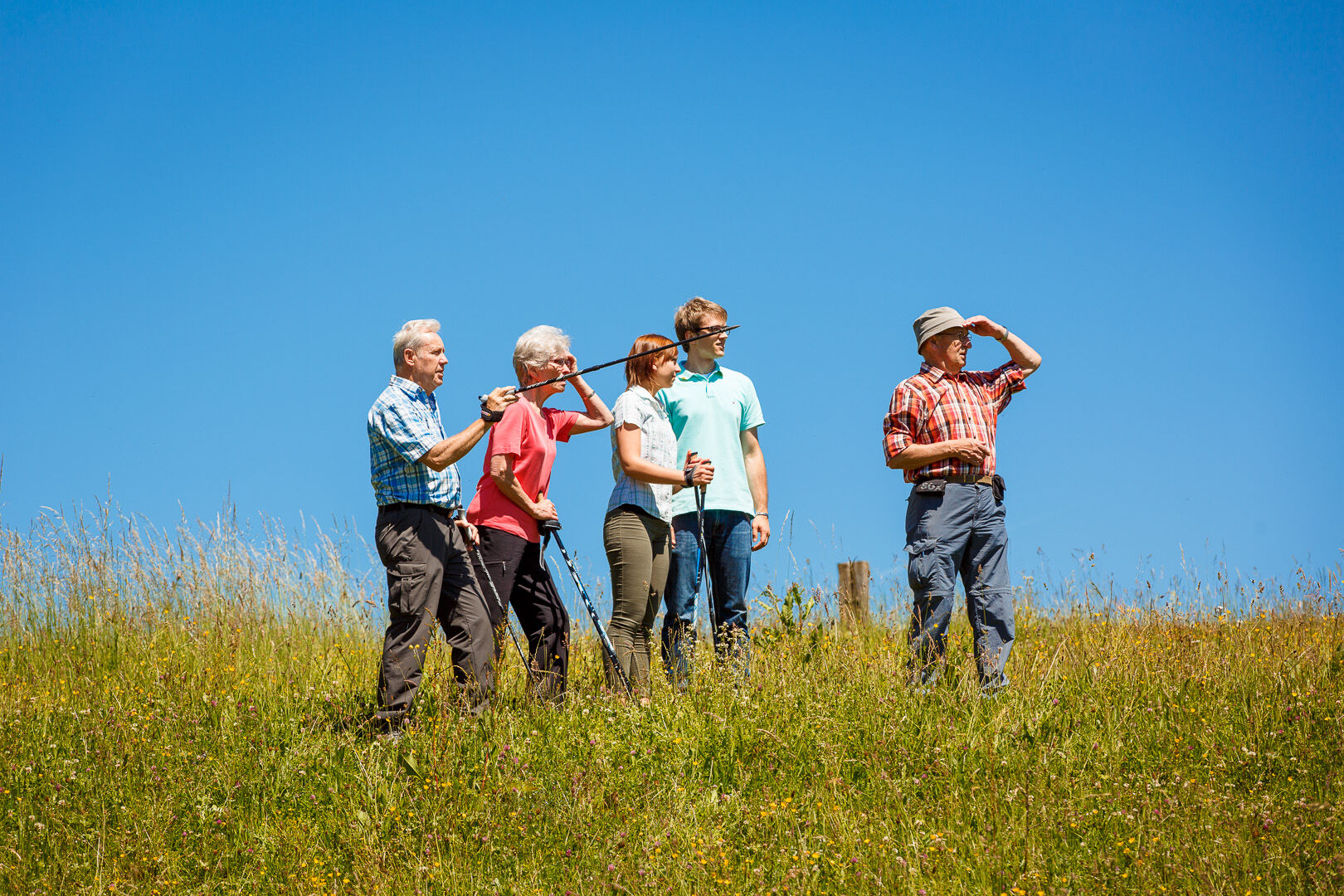
An especially attractive path to explore the multifaceted nature of Schlierbach is the 8-kilometer long Jubiläum route, created by the local Albverein group Schlierbach. On this route, hikers pass through an impressive variety of landscapes. About 4 kilometers lead through dense wooded sections, whose green splendor and natural silence provide a calming contrast to the busy world.
The path also covers 2.2 kilometers through orchard meadows, which not only offer an idyllic view but also provide habitat for a variety of plant and animal species. The orchard meadows display different colors and moods depending on the season, making the Jubiläum route a special experience throughout the year.
Along 1.8 kilometers, the path follows the course of the Schlierbach stream. The gentle babbling of the brook, surrounded by green banks, creates a picturesque backdrop and offers a refreshing complement to other sections of the trail.
Overall, the Jubiläum route by the Schlierbach Albverein local group not only offers a sporting challenge but also a fascinating journey of discovery through the diverse nature of this area. Hikers can fully enjoy the harmonious combination of forest, orchard meadows, and streamsides and experience the region’s rich biodiversity.
Municipality of Schlierbach
Hölzerstraße 1 | 73278 Schlierbach
07021 - 97 00 60 | gemeinde@schlierbach.de | www.schlierbach.de

The starting point of the hike is located at the parking lot 50 meters south of the Evangelical Georg Church, in front of the Farrenstall. Additional parking is available opposite the Bürgerkeller restaurant. From here, the route initially leads along a footpath heading east to the lake and continues along the Schlierbach stream to the wooden bridge. After crossing the bridge, the hike continues to the Schlatweg, which is followed eastwards to the road bridge. Shortly afterwards, the path turns onto a footpath south of the new development area "Vor der Sommerweide." At the end of the footpath, the route turns left into Weidenweg, which leads to the roundabout.
The route then continues along the road towards Hattenhofen. Before the turnoff to Ohmden, the road is crossed to enter the forest area "Plattenhau" on the left. Shortly after entering the woods, on the left side, there is a biotope with a bird sanctuary accessible via a footpath. Here, a forest information board provides details about the local nature. The path then continues slightly right into the "Brühl" area. After crossing the district road K1419, you reach the "Rauhau" forest section in Hattenhofen. From here, you arrive at the nature reserve "Osterwiesental," which also offers interesting insights through a forest information board.
At the next junction, the route climbs gently through the forest section "Ochsenweide" to the district road K1420 leading to Ohmden, which is crossed. The path continues along the footpath parallel to the road, laid out in 1972 by the Schlierbach Albverein, until the Kreuz Eiche. Here, a barbecue area built by the Albverein in 1970 invites you to rest. The path then leads westwards along the "Heersträßle" towards Kirchheimer Schafhof. After about 600 meters, the route turns right and leads another 400 meters onto an idyllic footpath through the orchard meadows in Schieferösch (shepherd’s area). This footpath joins the paved Grundweg at Baumgärtle, where you turn right and follow it to the tennis courts. Afterwards, turn left into Dobelweg, where the first houses of Schlierbach are reached.
The route continues along Dorfwiesenstraße to the bus stop. About 20 meters later, a picturesque footpath branches off to the right, following the Schlierbach stream back to the starting point.
Áno
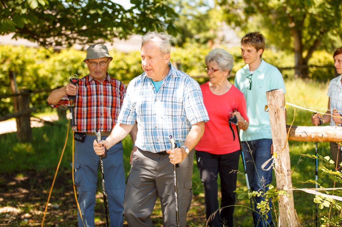
This list is designed for a short circular hike. For longer or more demanding routes, you should expand your equipment accordingly.
Some paths can be slippery and dangerous when wet. Watch your step and use hiking poles if necessary for stability.
From Stuttgart or Ulm via the B10 or the A8 motorway.
Travel by train from Stuttgart or Ulm to Göppingen/Kirchheim Teck.
From there, take bus line 914 to the "Schlierbach Kirche" stop.
You can find the district timetable at: www.vvs.de/fahrplan
Parking available opposite the Bürgerkeller restaurant.
T2
Respectful coexistence in the Göppingen district.
Code of conduct:
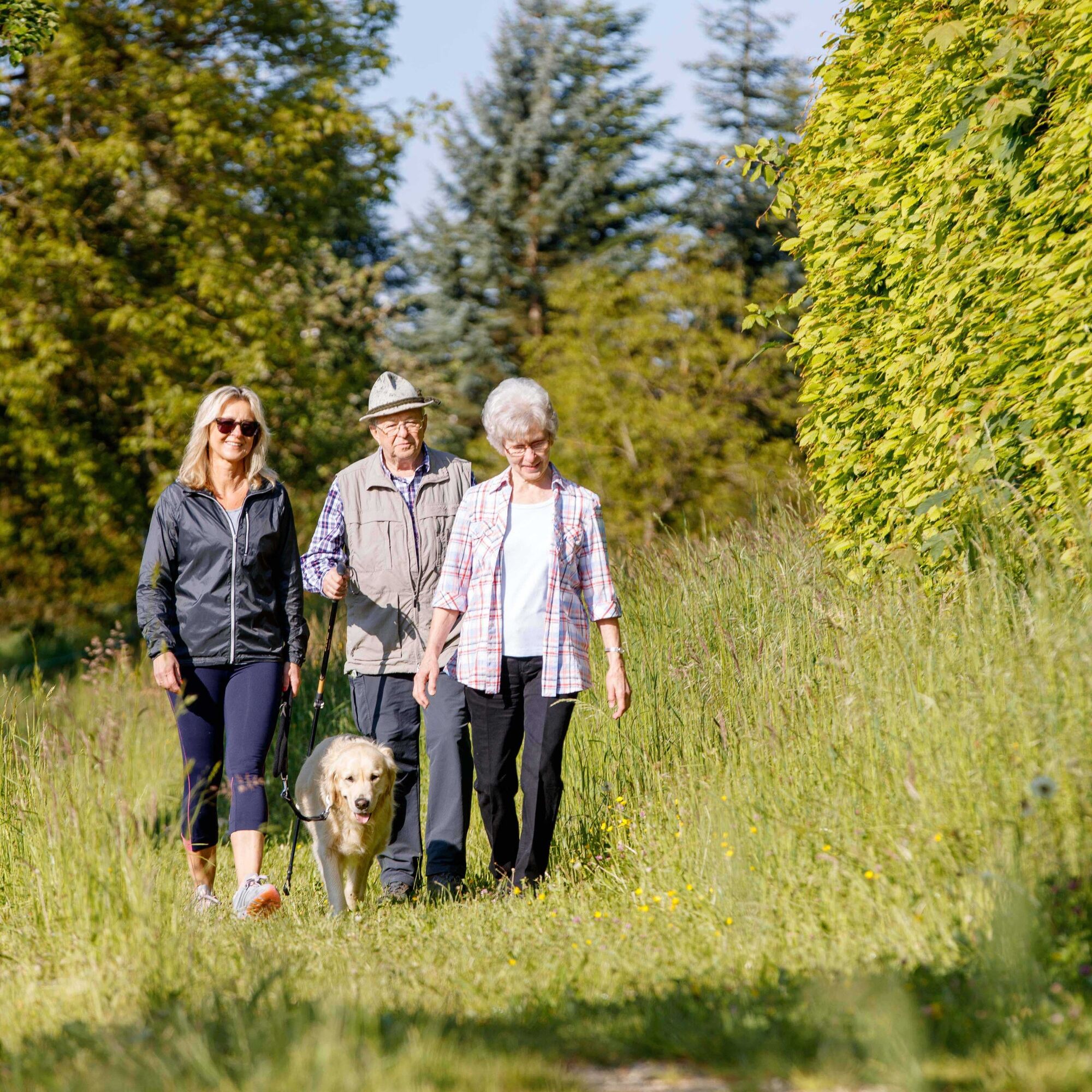
Respect trail closures and the rest areas developed in the recreational trail concept. Leave no traces such as litter or animal droppings; treat your path gently. Act with foresight and consideration. Adapt your behavior to the situation. Safety comes first. Respect other users of forests and fields. Show consideration for animals and plants. Plan ahead and use daylight. Try to avoid dawn and dusk. Observe the ban on entering agricultural land during the growing season. Stay on designated paths and avoid forest edges so that wildlife can better accustom to humans.More information at ruecksicht-macht-wege-breiter.de
Both the bird sanctuary with biotope and the Osterwiesental nature reserve invite you to explore the diverse nature and study the forest educational boards there via a footpath. Thus, hikers receive additional interesting information along the way.
Orchard meadows
On the hike, you will pass the Schlierbach orchard meadows. Depending on the season, a different splendid view is offered here. In spring, the trees are in full bloom; in summer and autumn, they are full of fruit.
Obľúbené výlety v okolí
-
4,8
Löwenpfad "Filsursprung-Runde" - pure nature around the Reußenstein
strednáTuristika 14,1 km -
5,0
Lion trail "Berta-Hörnle-Tour" - castle stories in a dreamlike setting
ťažkéTuristika 14,7 km -
5,0
Boßler circuit
strednáTuristika 8,59 km -
5,0
Lenningen: Weiße Lauter, Wasserfels, Guttenberger-,Gußmannshöhle, Schopflocher Moor, Hohgreutfels, Ruine Wielandstein
strednáTuristika 15,7 km -
5,0
Breitensteinrunde
svetloTuristika 10,3 km -
5,0
Owen - Teckberg - Brucker Hölzle - Hörnle
ťažkéTuristika 13,1 km -
4,5
Löwenpfad "Schloss-Filseck-Runde" - castle stories and lake dreams
svetloTuristika 3,97 km -
Mills & Lakes Route Adelberg
svetloTuristika 9,56 km -
Albtraufgänger (stage 1) *Trauf story*
strednáTuristika 19,5 km -
Häringen
strednáTuristika 8,54 km

Turistika a stopovanie


Nenechajte si ujsť ponuky a inšpiráciu na ďalšiu dovolenku
Vaša e-mailová adresa bol pridaný do poštového zoznamu.