







The Steinach home route
Úroveň náročnosti: T1
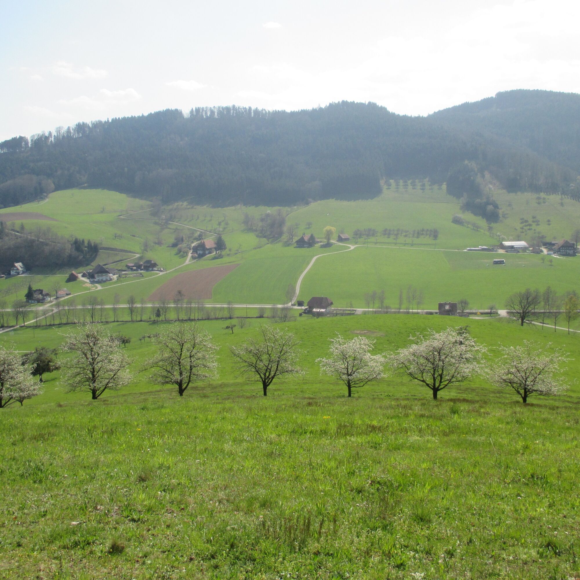
To see: Magnificent view from Kreuzbühl into the Kinzigtal and from the ridge trail into the idyllic Welschensteinacher valley with scattered farms. Sheep and goats live on Rebenrain; deer can be observed...
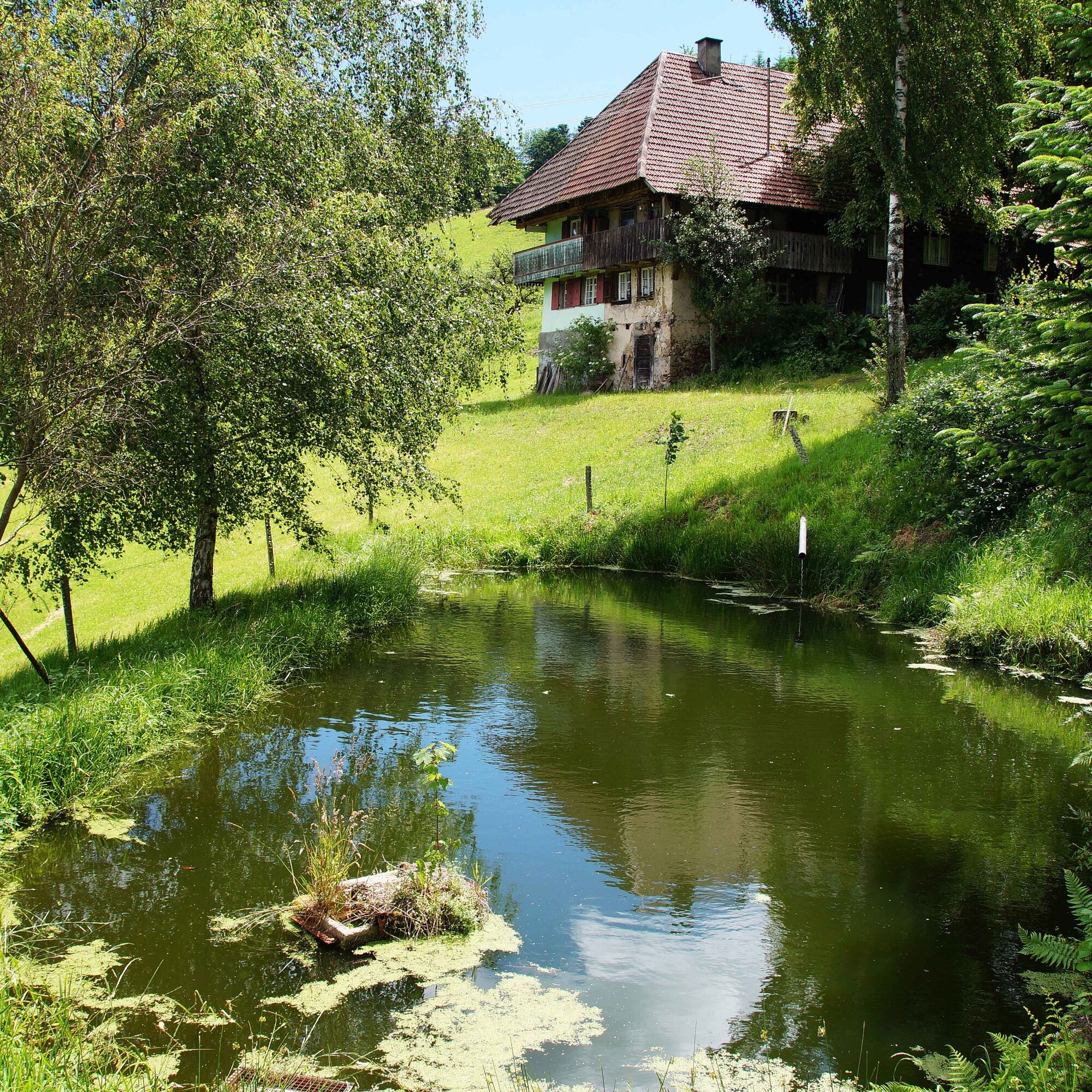
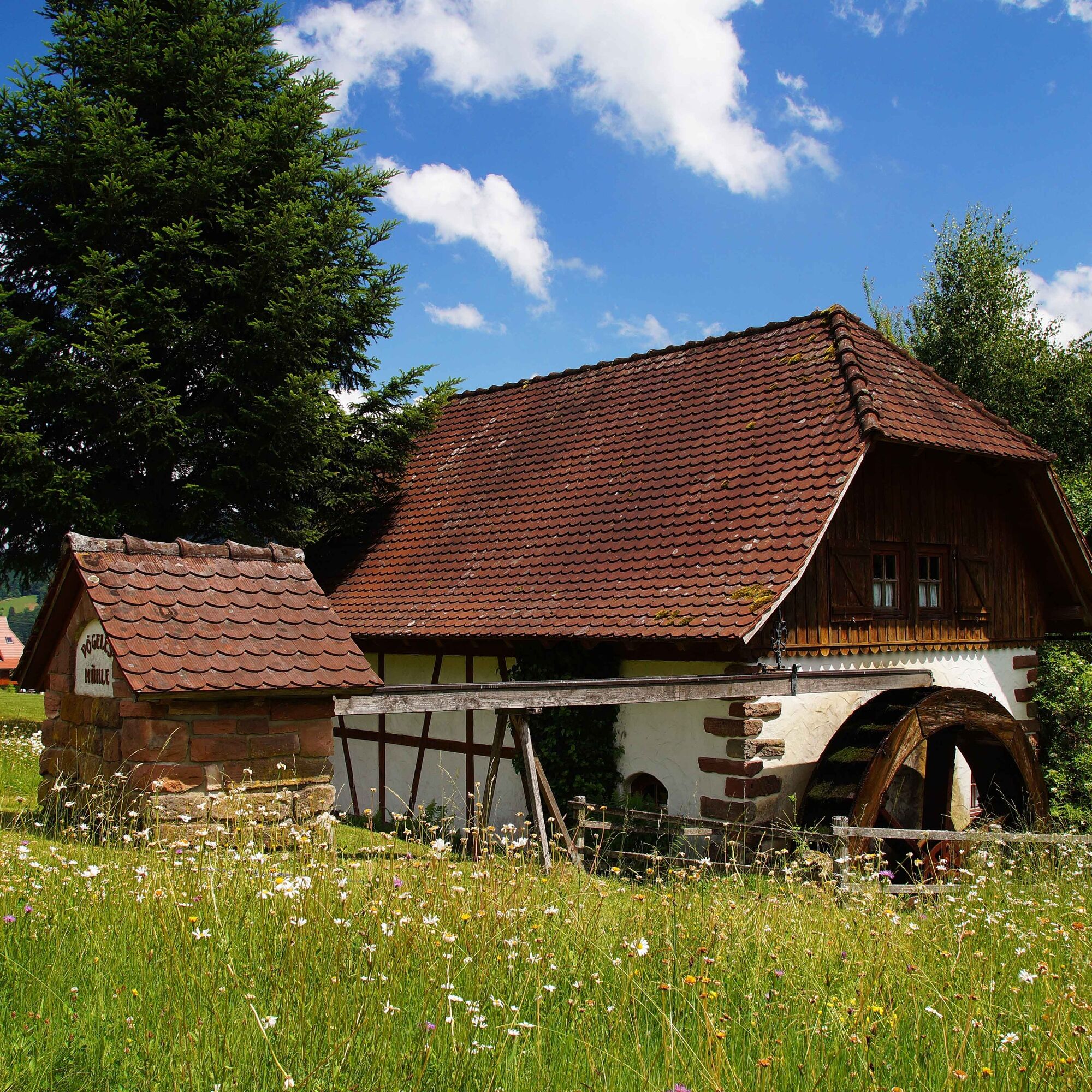
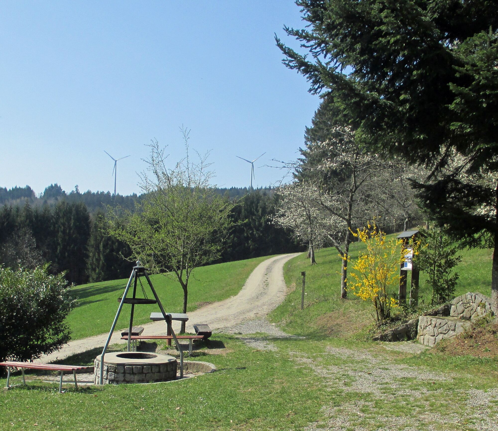
To see: Magnificent view from Kreuzbühl into the Kinzigtal and from the ridge trail into the idyllic Welschensteinacher valley with scattered farms. Sheep and goats live on Rebenrain; deer can be observed in clearings and at the forest edge. To experience: Barbecue facilities at Schirrmaierhütte (grill with grate available, wood in the forest, please bring your own grill food). For children: playground with swing and seesaw. On Sundays and holidays from Easter to early November, the hut is staffed from 10 a.m. Vögele's mill in Niederbach: always open for external viewing. For tours and catering, please make an appointment (Tel. 07832/5056 or 0173/6413664). Waypoints: Viewpoints, orchards, forest, Schirrmaierhütte, farms, chapel, old mill. Alternative route: From the mill via Brandweiher – Eckle – Oberbach – Runzengraben – Brendiswäldele – Silberbergweg – Langmattstraße – Hinterbach back.


Adlerplatz - Felsenkeller - Kreuzbühl - Brendiswäldele - Schirrmaierhütte - Wanglig - Bildstöckle - Kolpingstraße - Adlerplatz
At the very beginning of the “home route,” you can enjoy the magnificent view into the Kinzigtal on Steinach’s local mountain, Kreuzbühl. The route follows the ridge trail to Brendiswäldele. Passing orchards, you arrive at a junction with two options to reach Schirrmaierhütte.
To the right, the direct and steep path, or to the left over the panorama path with wonderful views into the Welschensteinach valley. The hut is a popular excursion destination in the summer months (staffed on Sundays and holidays from 10 a.m.). After a short climb, you reach Wanglig, the highest point of the route. In the last third of this varied route, the Niederbach, the lovingly restored “Vögele’s mill” can be viewed from outside at any time. Guided tours and catering are available by appointment, Tel. 07832 5056 or 0173 6413664.
B33 from direction Haslach im Kinzigtal or from direction Offenburg
Bus line 7151 from Haslach or bus line 7160 from direction Offenburg
Get off at Sonne
Parking lot at Gasthaus Adler, Hauptstr. 39, or parking lot at town hall, Kirchstr. 4
T1
Afterwards, you can refresh yourself at the Steinach outdoor pool (open from around mid-May until the end of the school holidays in Baden-Württemberg). Bringing your own packed lunch is recommended.
Získajte prehľad
Vždy naživo na mieste s viac ako 9 500 webovými kamerami. bergfex Ako používateľ Pro si teraz môžete pozrieť príslušné webové kamery pre mnohé zájazdy v aplikácii zájazdy z. Môžete si tak priamo prezerať aktuálne podmienky.
Obľúbené výlety v okolí
-
4,8
Hahn und Henne Tour
strednáTuristika 15,0 km -
4,3
Oberhamersbach Vesperweg
strednáTuristika 14,5 km -
4,8
Ortenau legend circular routes: Devil's Pulpit
strednáTuristika 10,2 km -
4,3
Paradiessteig Hofstetten
strednáTuristika 12,8 km -
4,7
Waldsee circular route to the Urenkopf tower
strednáTuristika 7,30 km -
Westweg - Westvariante
ťažkédiaľková pešia trasa 288,8 km -
4,5
Sontagstour
svetloTuristika 11,8 km -
5,0
Gemütliche Runde ab Wanderparkplatz Pfingsteck, Freiamt
svetloTuristika 4,62 km -
4,5
Panoramaweg Katzenmoos
strednáTuristika 11,0 km -
5,0
Connoisseur path - Hausacher Bergsteig
strednáTuristika 13,5 km
Turistika a stopovanie


Nenechajte si ujsť ponuky a inšpiráciu na ďalšiu dovolenku
Vaša e-mailová adresa bol pridaný do poštového zoznamu.





