


Löwenpfad "Staufer-Runde" - Barbarossa's traces before a dreamlike backdrop
Úroveň náročnosti: T2
Fotografie našich používateľov
-

 © Ernst SchmidVytvorené dňa 22.03.2026
 -
 © Ernst SchmidVytvorené dňa 22.03.2026
 -
 © Ernst SchmidVytvorené dňa 22.03.2026
 -
 © Ernst SchmidVytvorené dňa 22.03.2026
 -
 © Hermann E.Vytvorené dňa 20.08.2023
 -
 © Hermann E.Vytvorené dňa 20.08.2023
 -
 © Hermann E.Vytvorené dňa 20.08.2023
 -
 © Hermann E.Vytvorené dňa 20.08.2023
 -
 © Hermann E.Vytvorené dňa 20.08.2023
 -
 © Hermann E.Vytvorené dňa 20.08.2023


You can follow the tracks of the lion in the district of Göppingen: The Löwenpfade stand for hiking with quality standards and entice with impressive views, varied natural landscapes, and mysterious places....
You can follow the tracks of the lion in the district of Göppingen: The Löwenpfade stand for hiking with quality standards and entice with impressive views, varied natural landscapes, and mysterious places. Sixteen circular hiking routes, between 3 and 24 kilometers long, offer hiking fun for almost every taste.
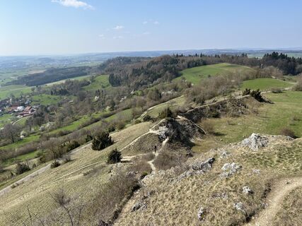
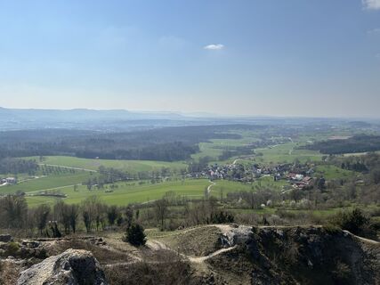
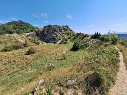
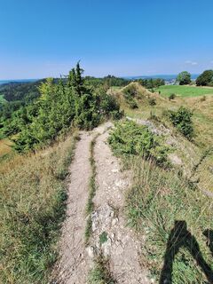
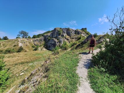
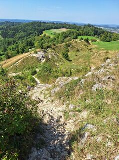
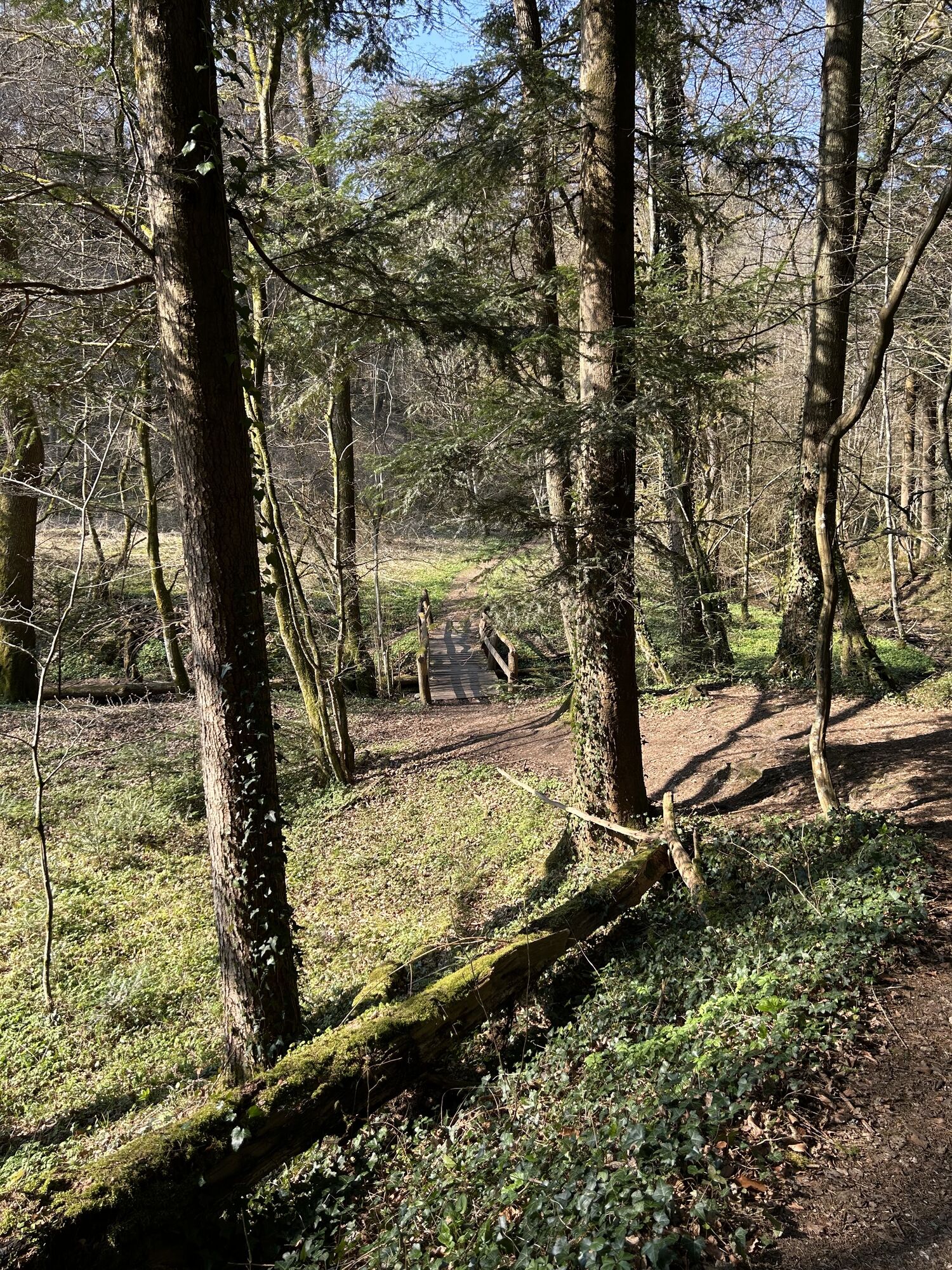
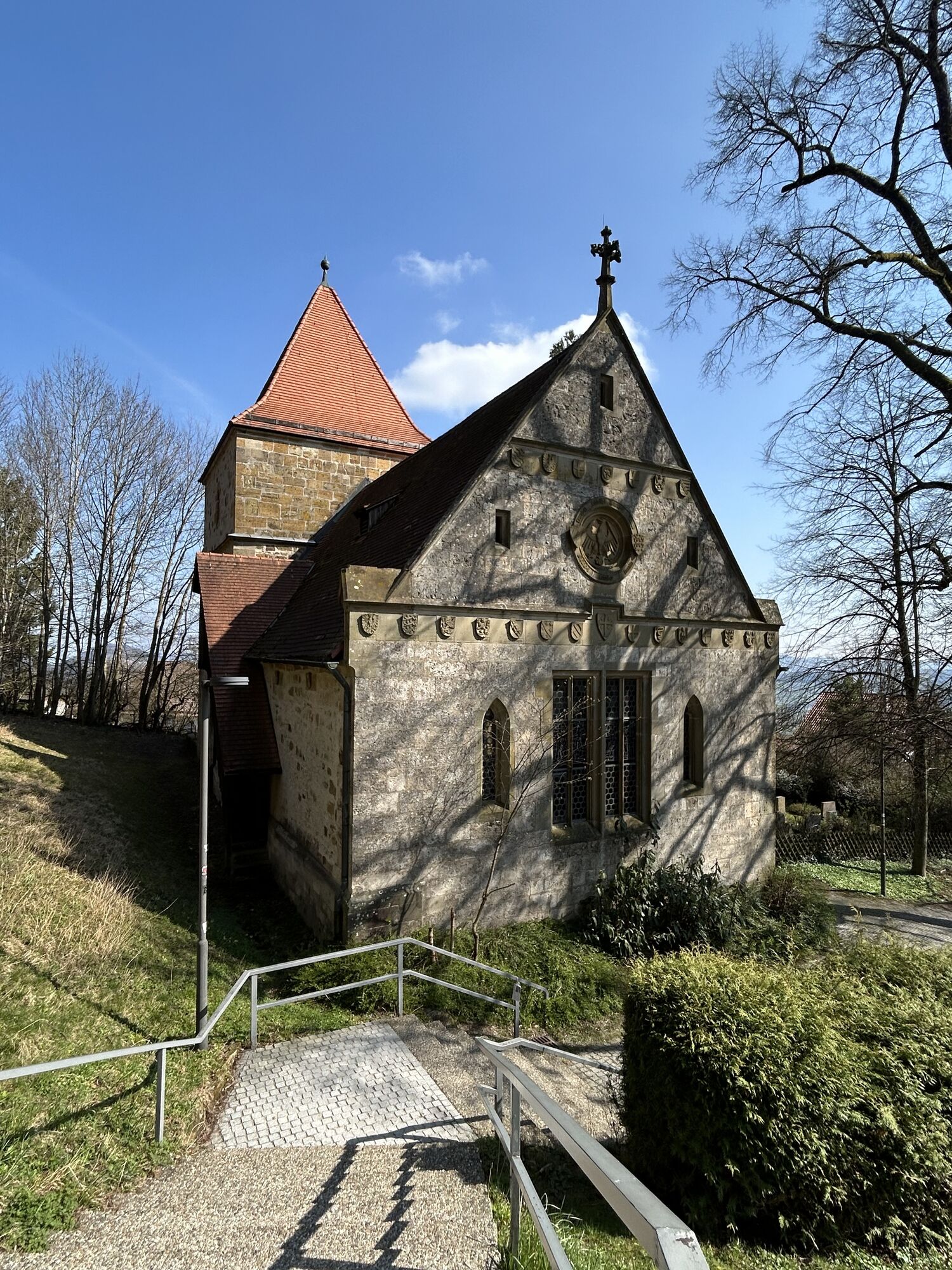
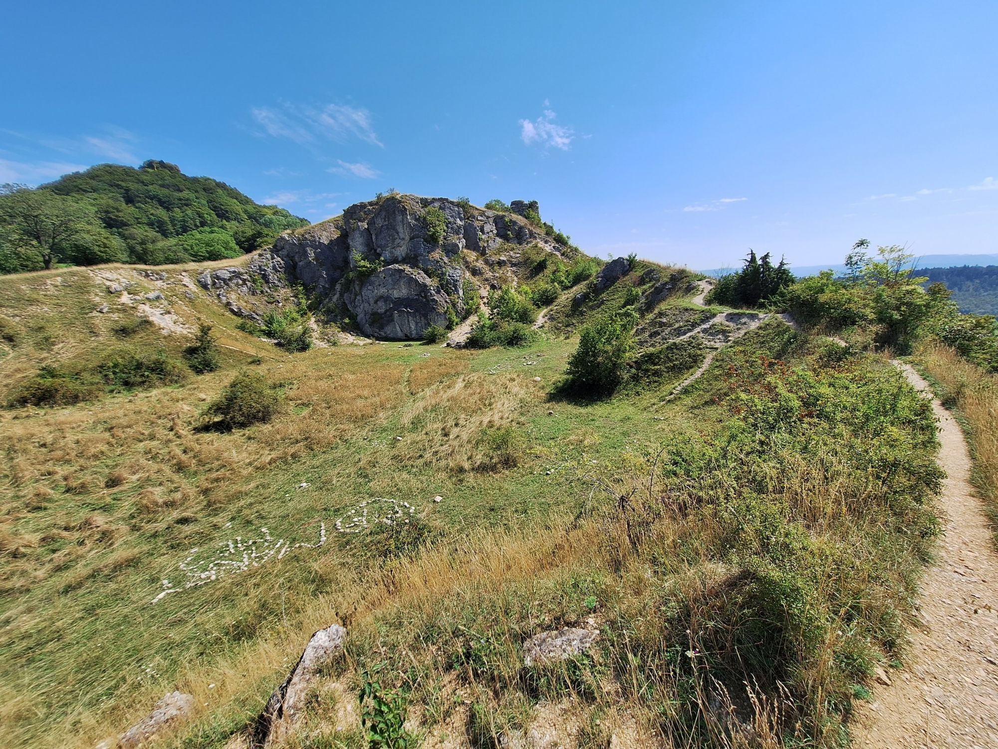
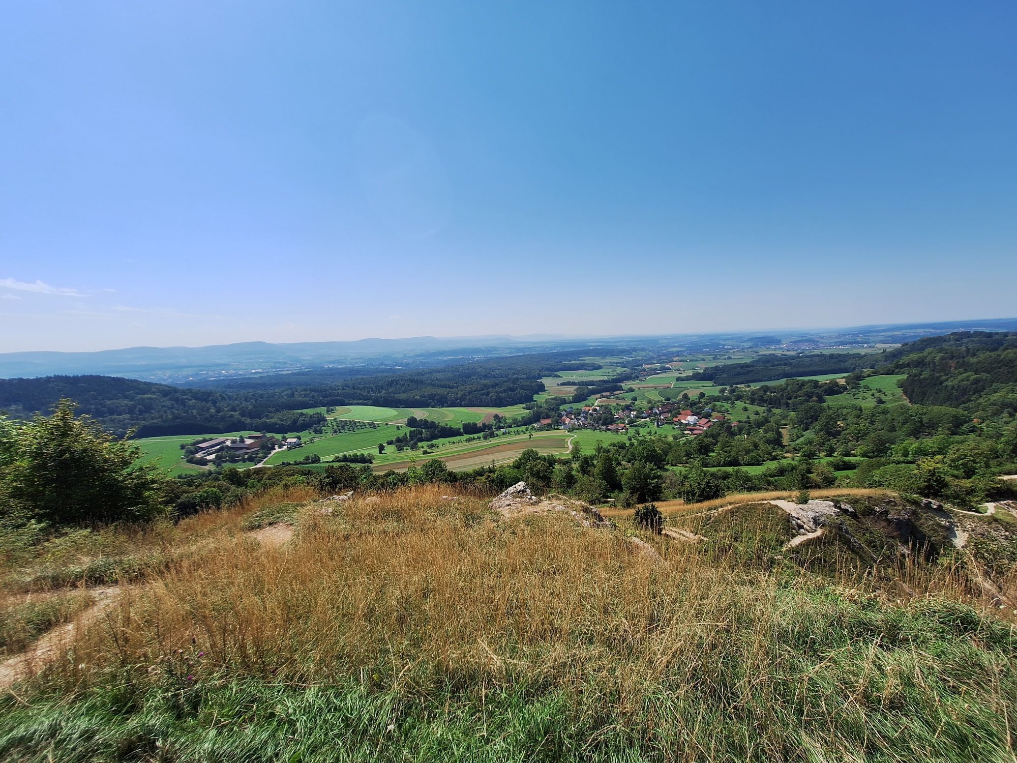
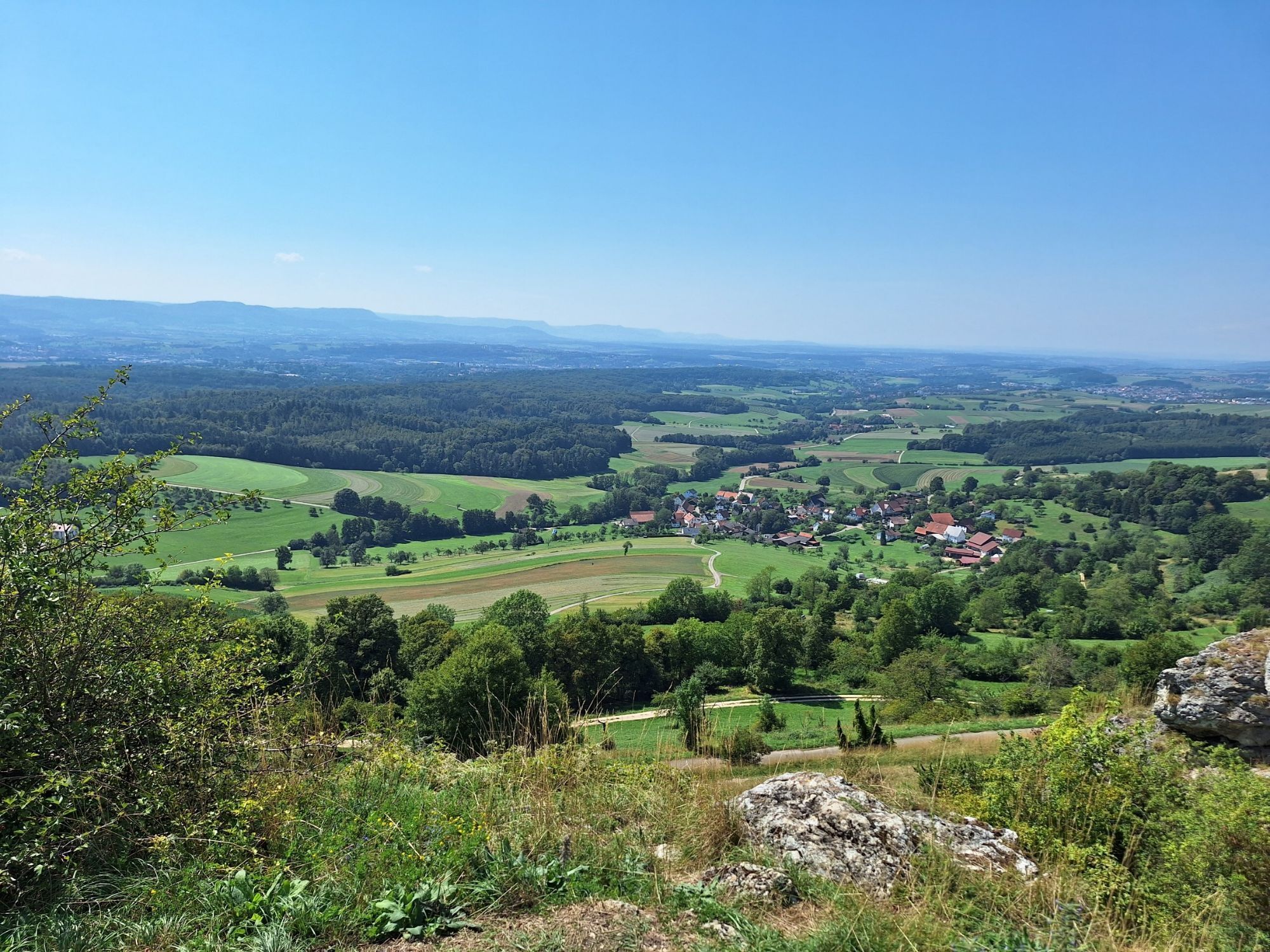
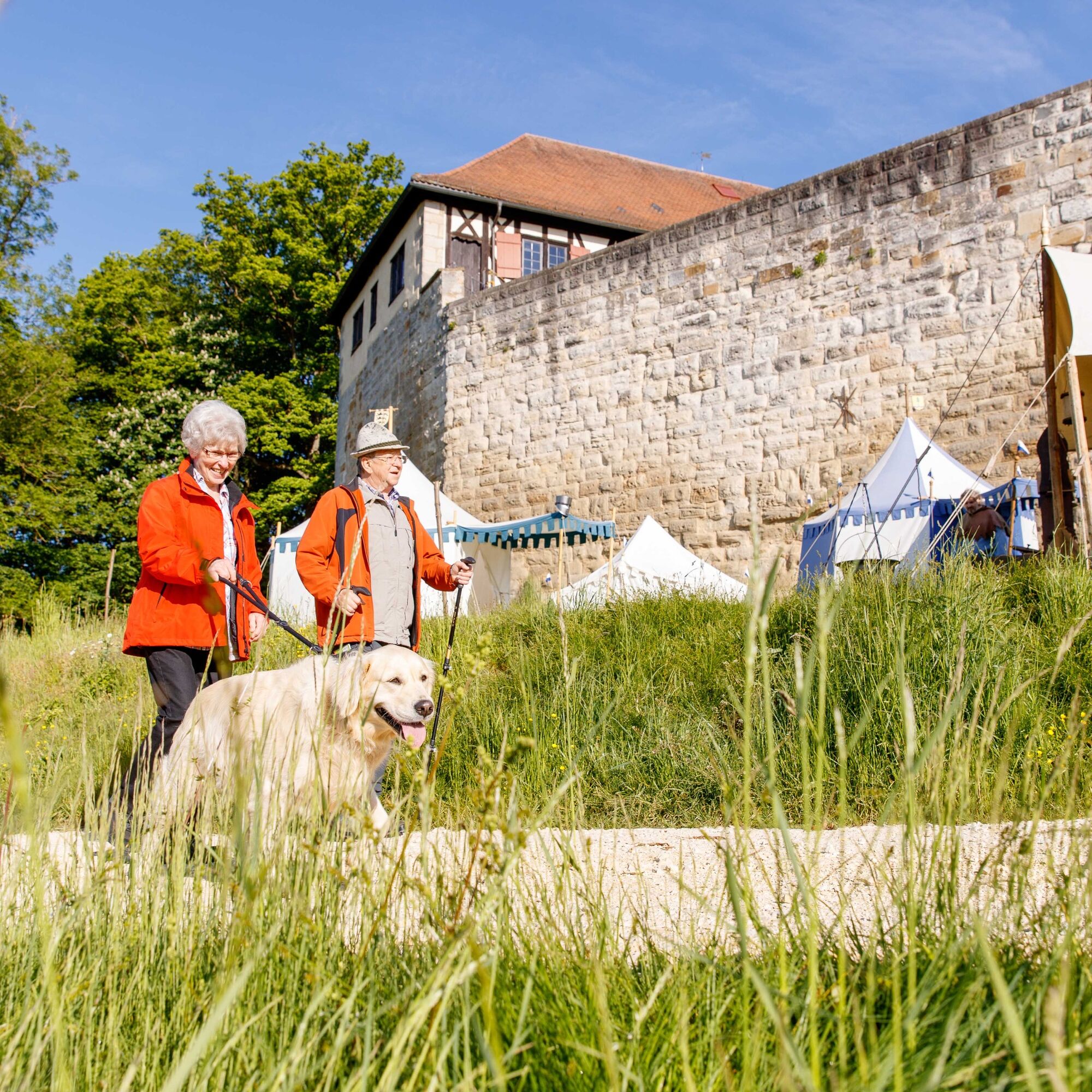
The Löwenpfad Staufer-Runde between Göppingen and Wäschenbeuren is a circular route certified by the German Hiking Association in the category "cultural experience." The approximately 11.2 km long route starts at the hiking parking lot of the Wäscherschloss in Wäschenbeuren and focuses primarily on the history of the Staufer dynasty. The path runs through the mystical Beutental over the imposing castle ruins on the summit of Hohenstaufen, as well as over the scenic rock formation "Spielburg" and the Wäscherschloss protected by thick walls.
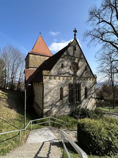
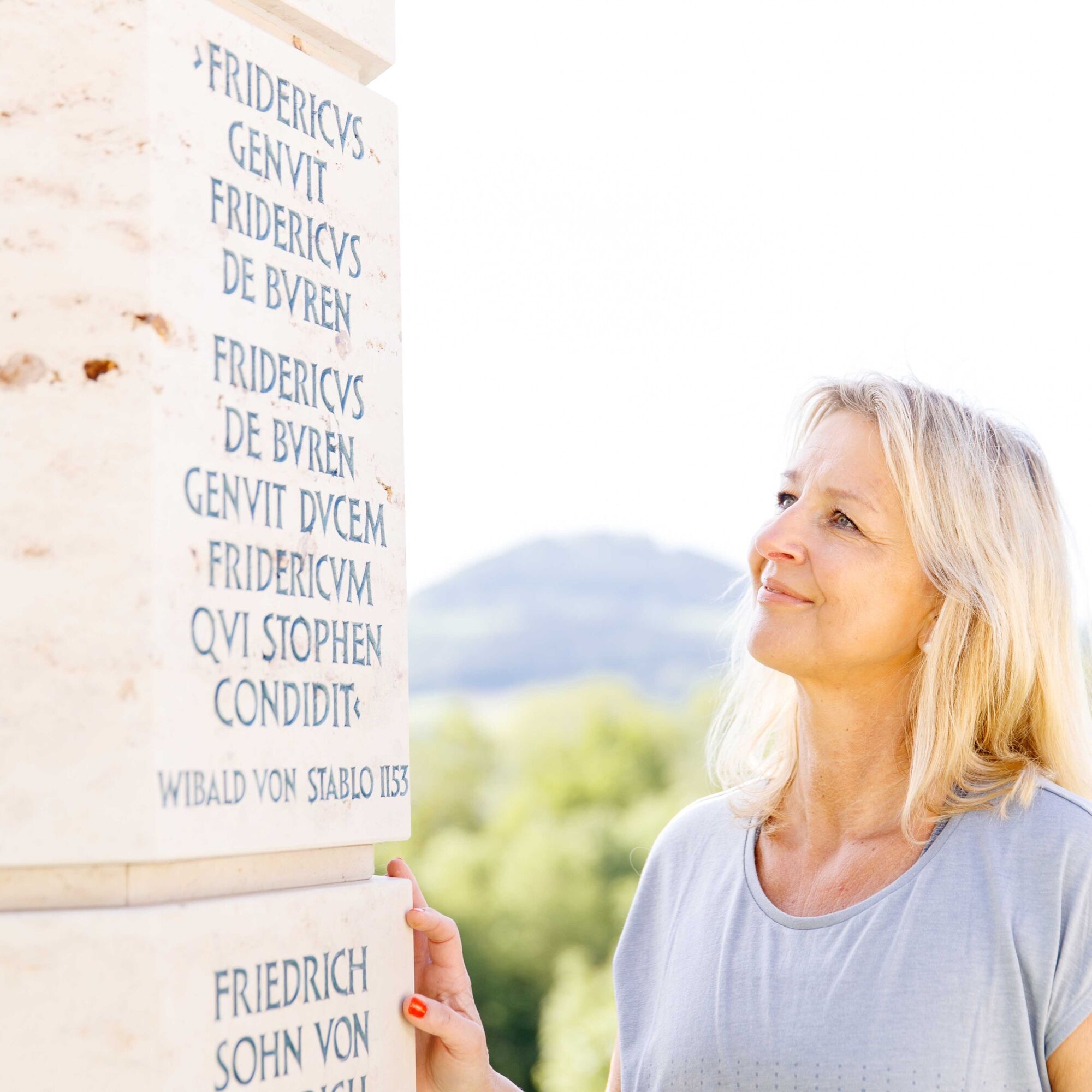
Along the way, you repeatedly pass remnants of Staufer history and can learn extensively about the powerful and world-famous Staufer dynasty in the museums in the Wäscherschloss and at the Barbarossa church in Hohenstaufen.
More information at loewenpfade.de

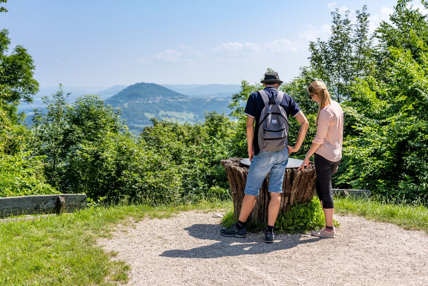
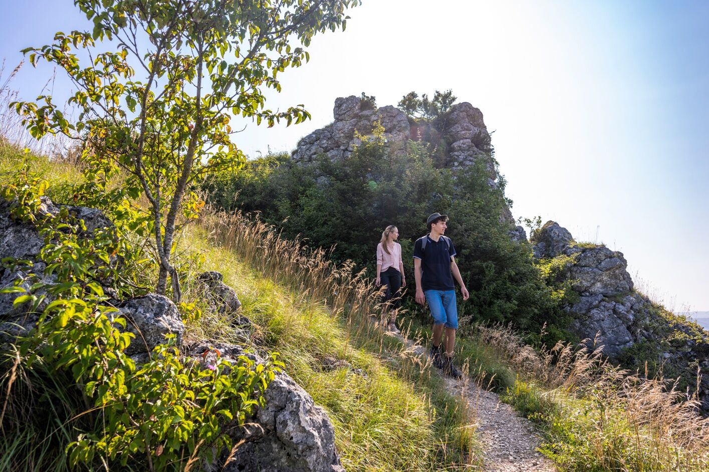
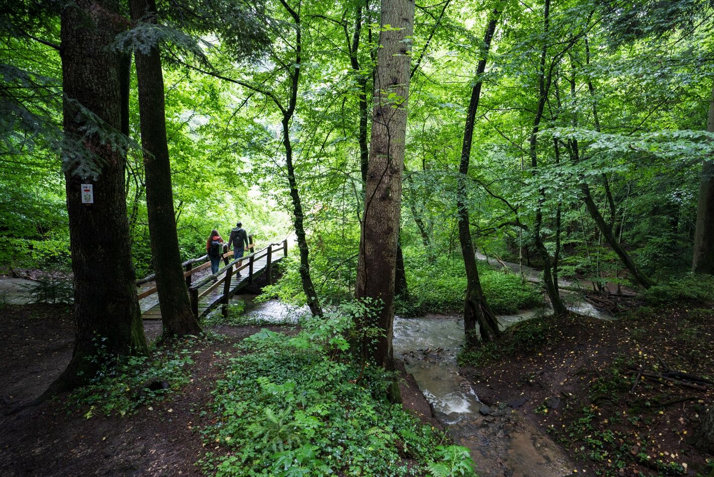
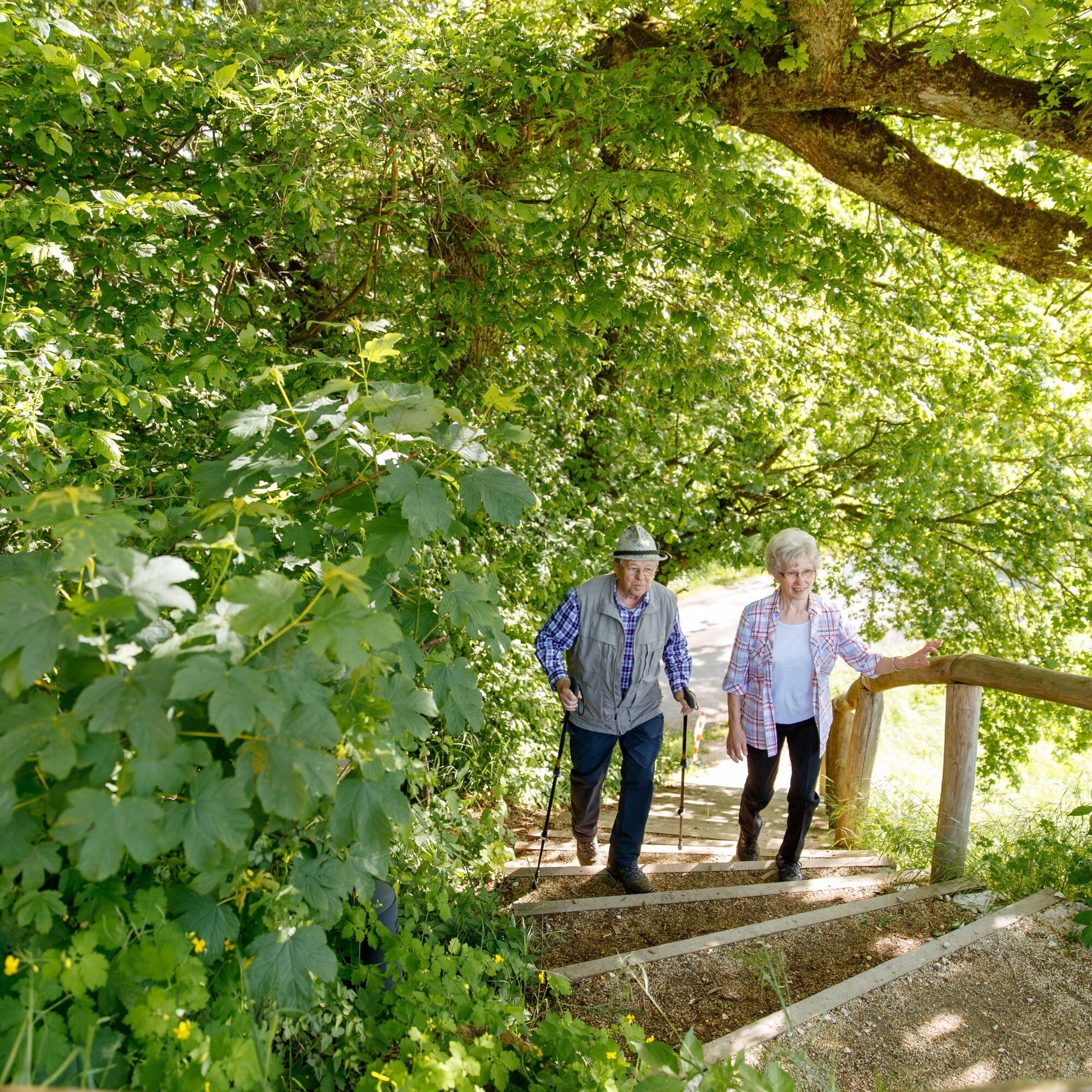
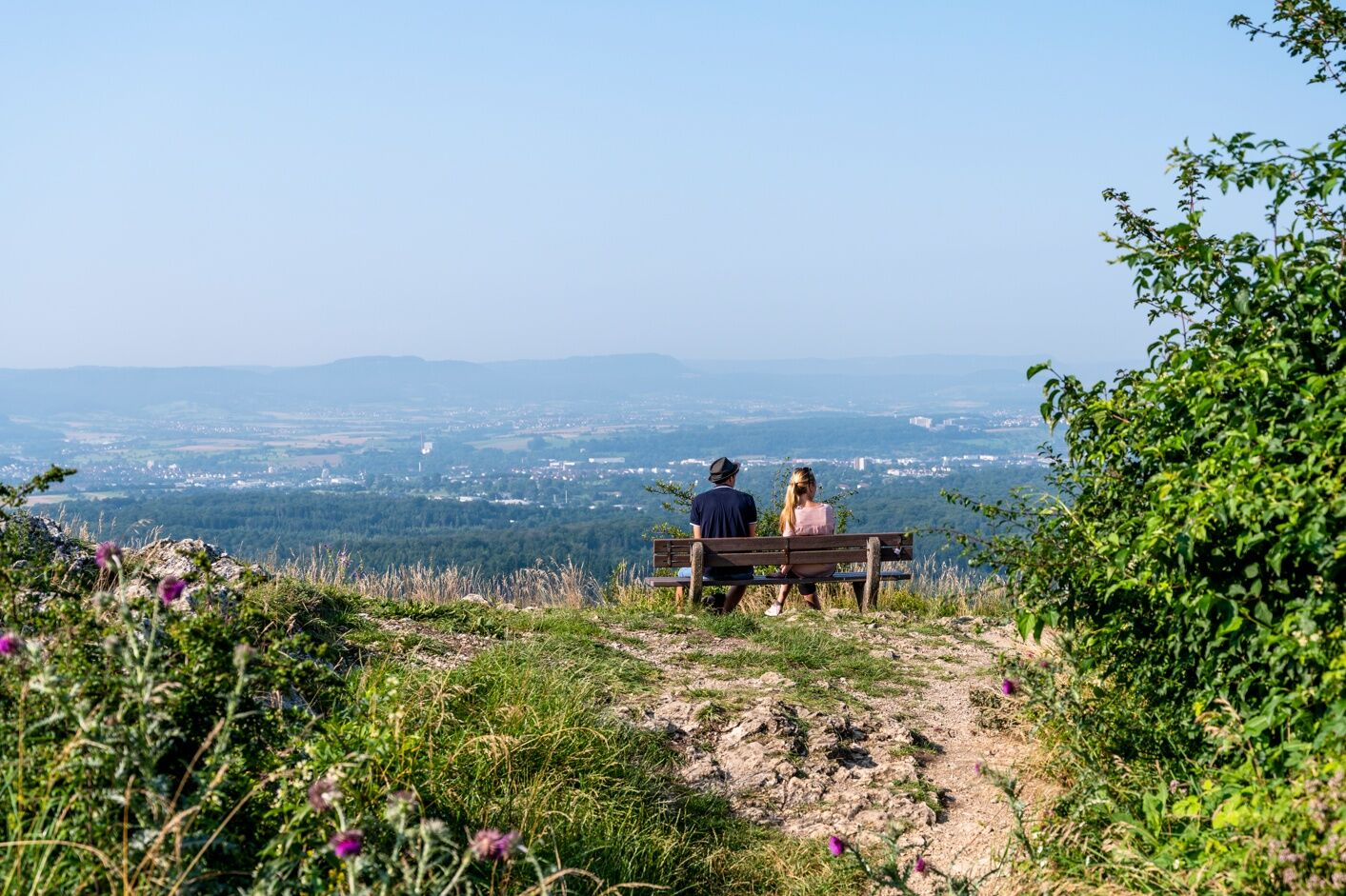
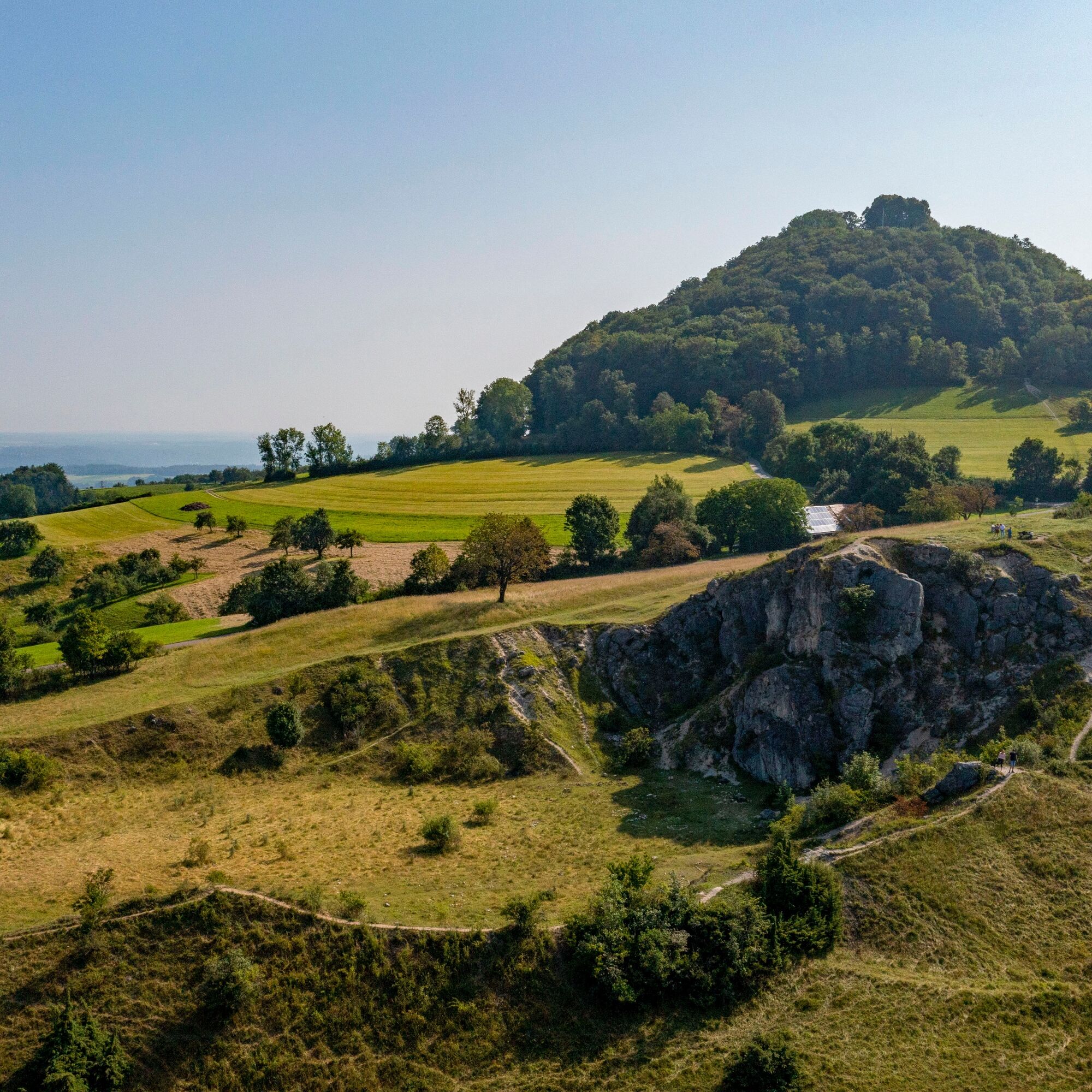
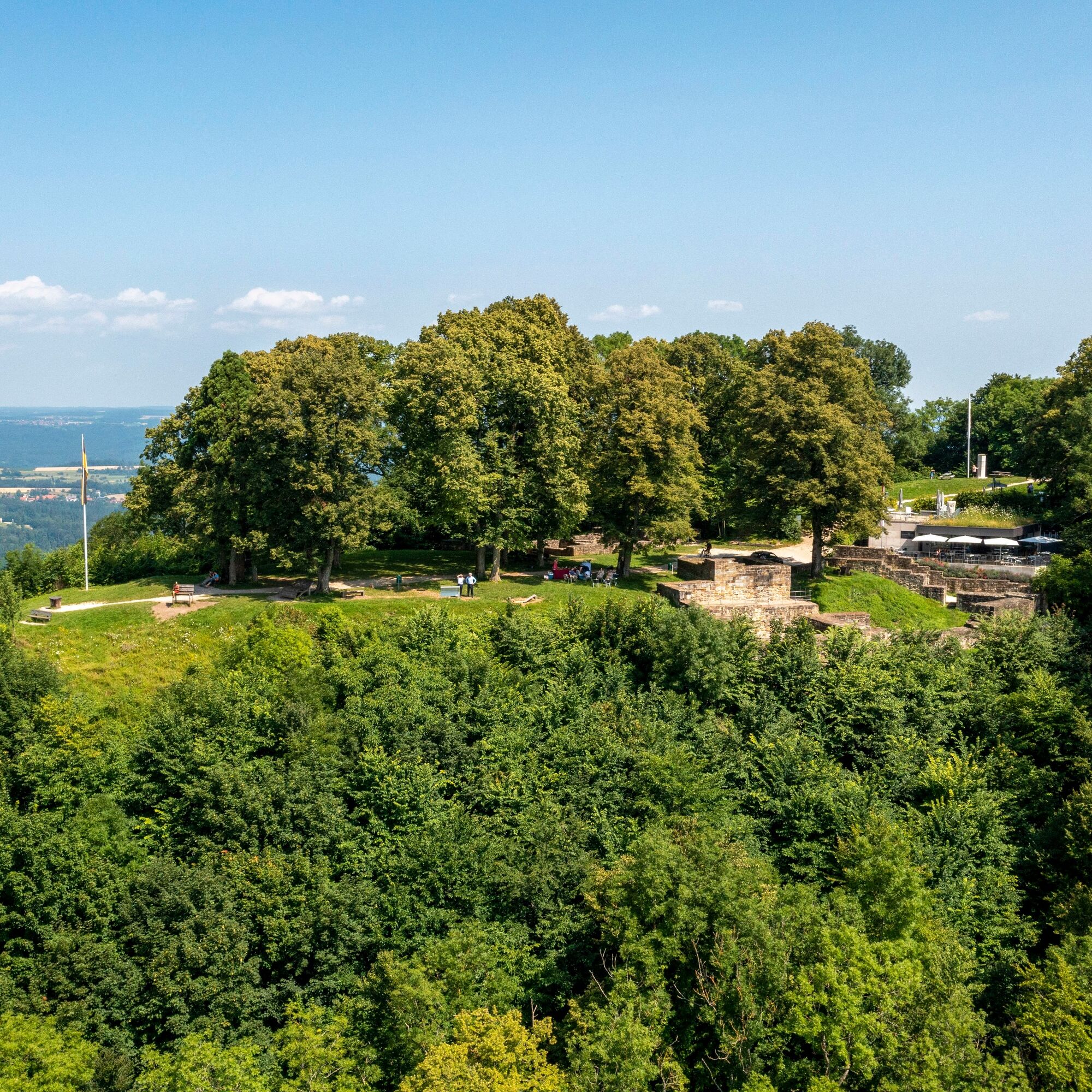
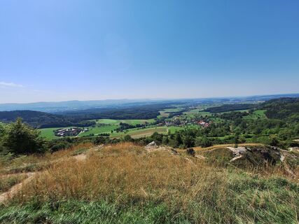
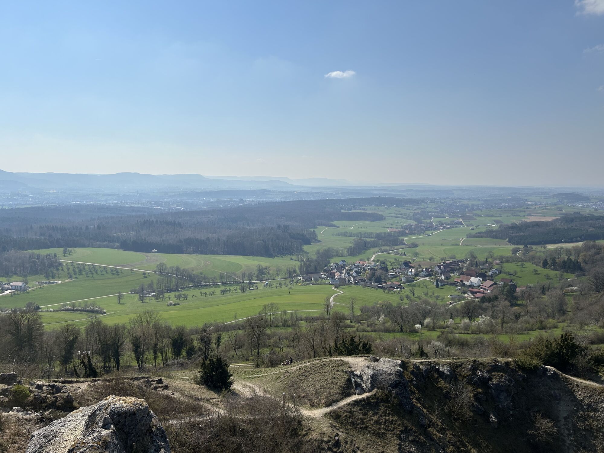
From the starting point, we first hike through the idyllic Beutental to Maitis, then continue uphill through Maitis towards Hohenstaufen, where we proceed towards the mountain summit. Upon reaching the foot of the mountain, we first walk left around the mountain. At the back of the mountain, we climb the mountain summit via the serpentine path. Once at the summit, you can enjoy the fantastic 360-degree view over the entire district of Göppingen from one of the lounging waves or tree honey benches. After a small refreshment at the mountain inn himmel&erde, we go directly downhill next to the mountain inn back to the foot of the mountain. At the mountain foot, a detour to the Staufer exhibition, which lies directly on our route, is worthwhile. Continuing downhill via the Kaiserbergsteige, we turn right into the first street, Beurengasse, and follow the route over the Spielburg. Afterwards, we hike downhill through the valley past the forest by the community of Wäschenbeuren. Via Asang and the Lower Field, we return to our starting point at the Wäscherschloss.
Áno
Áno
Slip-resistant footwear is recommended.
Coming from the B10 direction Stuttgart or Ulm, take the Faurndau exit, then follow B297 to Wäschenbeuren.
From the A8, take the Kirchheim unter Teck-Ost exit, then follow B297 to Wäschenbeuren.
Navigation to the starting point with Google Maps
In Göppingen, there is a connection to the MEX and RE trains of the Filstalbahn on the Stuttgart-Ulm route. From Göppingen Central Bus Station, you can continue with bus lines 931 to the stop "Wäschenbeuren Schillerstr.", 932 to the stop "Wäschenbeuren Wäscherhofstr.", or X93 to the stop "Wäschenbeuren Marktplatz." From there, it is about a 4-minute walk to reach the Löwenpfad (The start is not at the official Löwenpfad starting point, but you enter at a different location).
You can find the circular schedule at: www.vvs.de/fahrplan
There are parking spaces at the start of the route, the hiking parking lot at the Wäscherschloss castle.
If you want to start the route from Hohenstaufen, there are parking spaces at the "Youth Hostel" hiking parking lot.
Áno
T2
Respectful coexistence in the district of Göppingen.
Code of conduct:
Respect path closures and the quiet zones developed in the leisure path concept.Leave no traces such as litter or animal droppings; treat your path gently.Act foresighted and considerately. Adjust your behavior to the respective situation. Safety comes first.Respect other users of forest and fields.Be considerate of animals and plants.Plan ahead and use daylight. Try to avoid dawn and dusk.Observe the prohibition on entering agriculturally used land during the vegetation period.Stay on designated paths and avoid forest edges so that wild animals can better get used to humans.More information at ruecksicht-macht-wege-breiter.de
A visit to the Staufer exhibition at the foot of the mountain is highly recommended. Renting the audio guides at the mountain summit with songs, stories, and myths about the mountain is also perfect for relaxation for both young and old.

Obľúbené výlety v okolí
-
4,7
Löwenpfad "Orchideenpfad" - Herbs, Pasqueflower and Juniper Heathlands
strednáTuristika 9,33 km -
4,5
Löwenpfad "Weitblick-Tour" - High up and far-reaching view
ťažkéTuristika 12,0 km -
5,0
Löwenpfad "Heldentour" - The king stage of the Löwenpfade
ťažkéTuristika 23,6 km -
5,0
Blicklestour Lauterstein
ťažkéTuristika 13,8 km -
3,0
Circular route Drei-Kaiserberge
ťažkéTuristika 25,7 km -
3,5
Lion trail "Messelberg tour" - hiking with impressive views
strednáTuristika 7,72 km -
5,0
Löwenpfad "Spielburg-Runde" - Around the mountain Hohenstaufen
svetloTuristika 3,53 km -
3,7
Löwenpfad "Wasserberg-Runde" - pure panorama and typical Swabian Jura landscapes
ťažkéTuristika 12,0 km -
Mills & Lakes Route Adelberg
svetloTuristika 9,56 km -
Lautertal route
ťažkéTuristika 26,0 km

Turistika a stopovanie


Nenechajte si ujsť ponuky a inšpiráciu na ďalšiu dovolenku
Vaša e-mailová adresa bol pridaný do poštového zoznamu.