







Three Emperors' Mountains Loop Hike
Úroveň náročnosti: T2
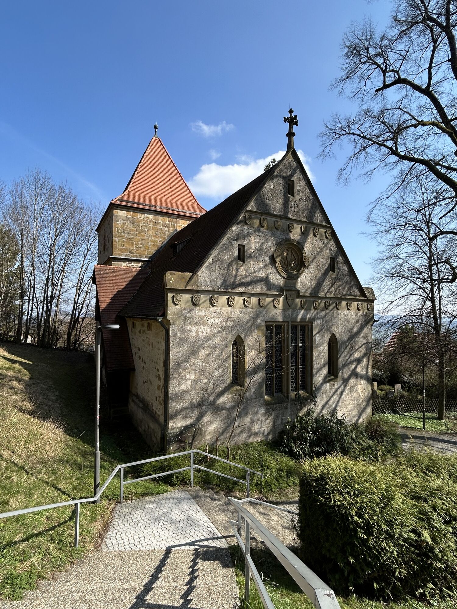
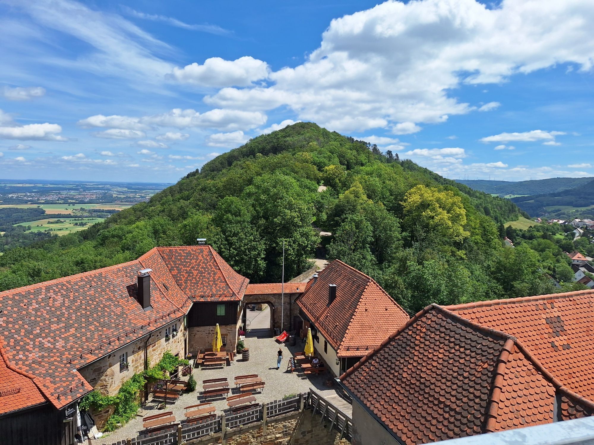
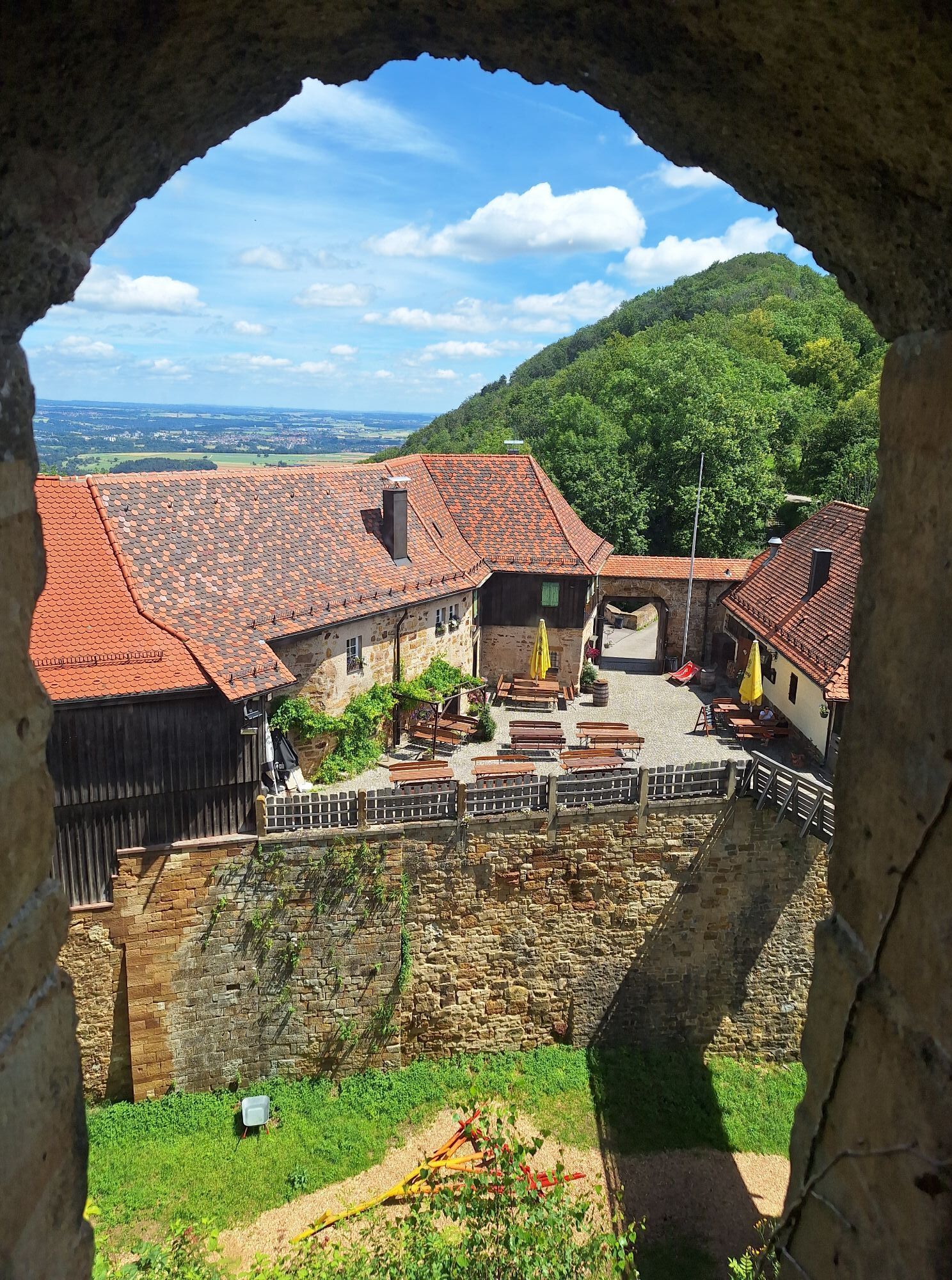
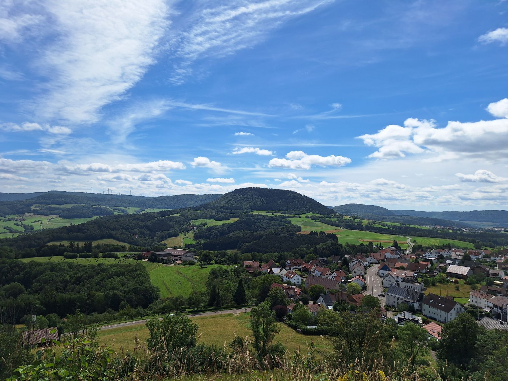
There are nine beautiful hiking trails to explore in Göppingen: The Göppingen circular hiking trails entice visitors with stunning views, varied landscapes, and breathtaking nature. Seven circular trails,...
With unparalleled views over the Rems and Filstal valleys, the Three Kaiser Mountains—connected by this circular hiking trail—are a major draw. Spanning a total length of just under 26 km, this challenging circular hike across the Three Kaiser Mountains offers breathtaking views and panoramic vistas. The tour can also be divided into two stages.
Information Point at City Hall
Hauptstraße 1 | 73033 Göppingen
07161 650-4444 | ipunkt@goeppingen.de | www.goeppingen.de

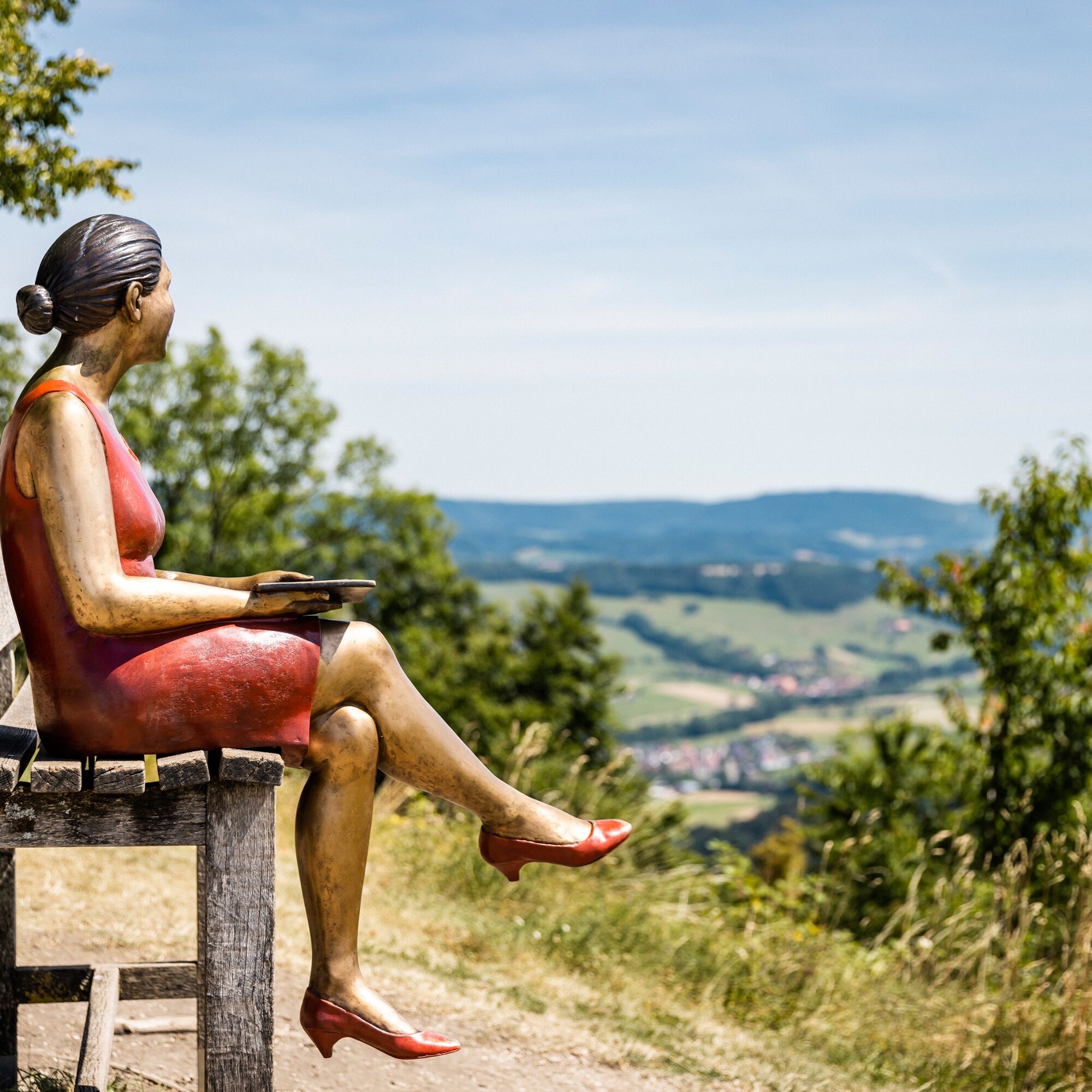
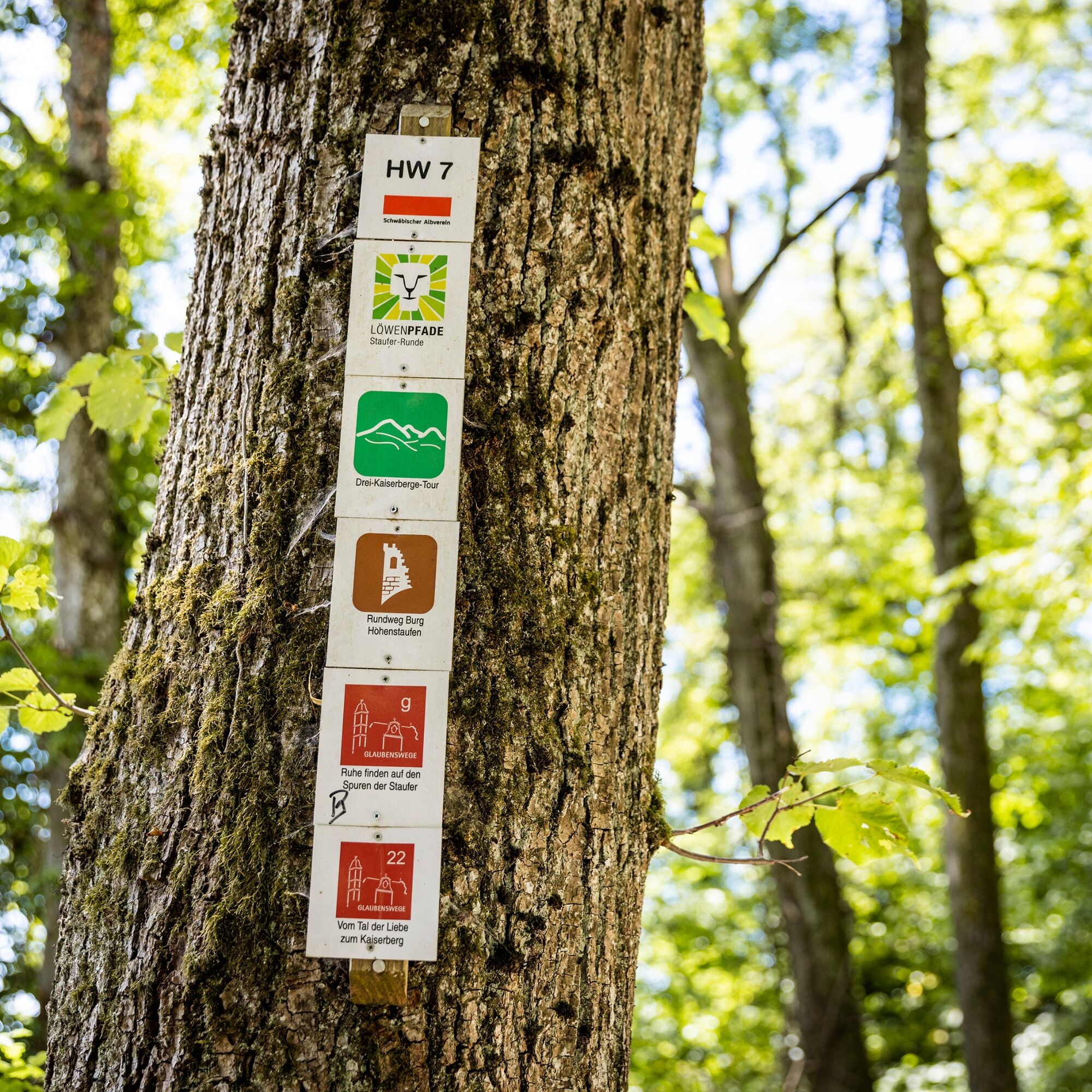
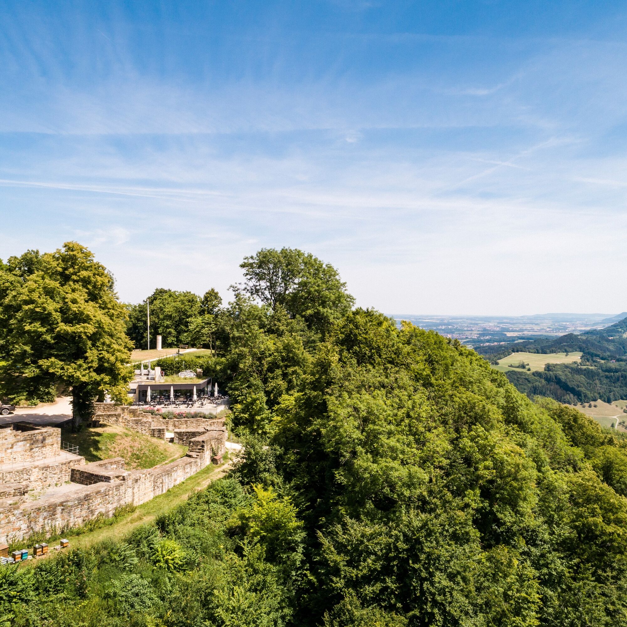
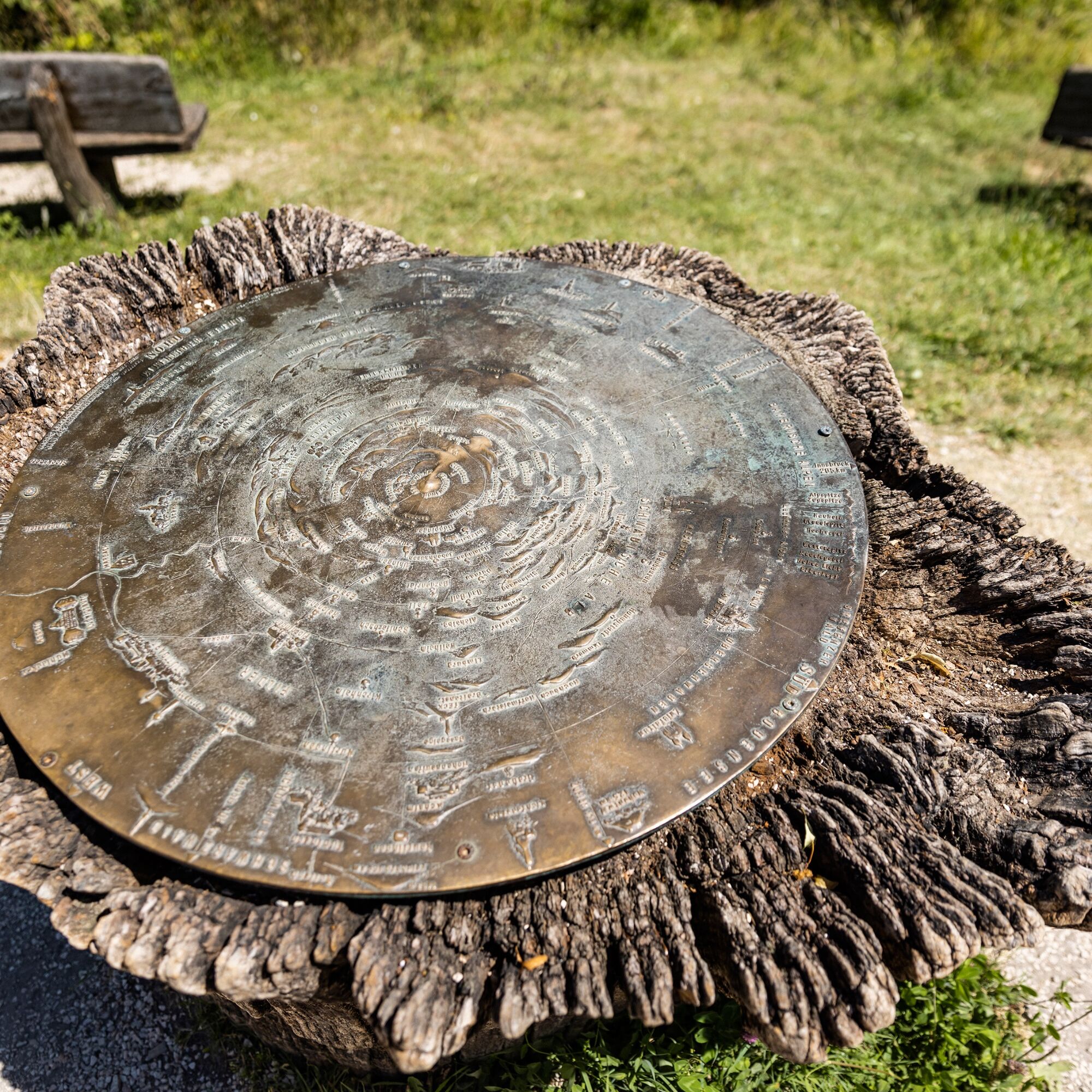
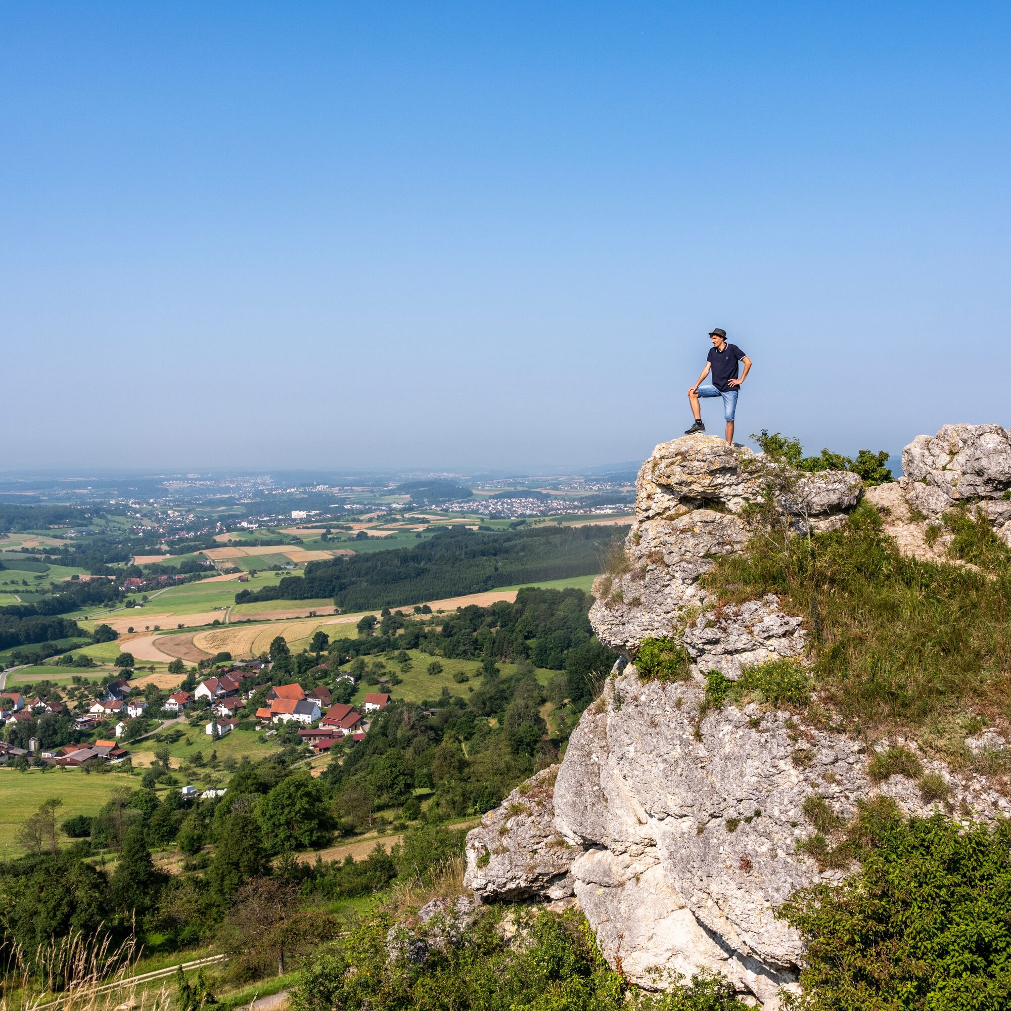
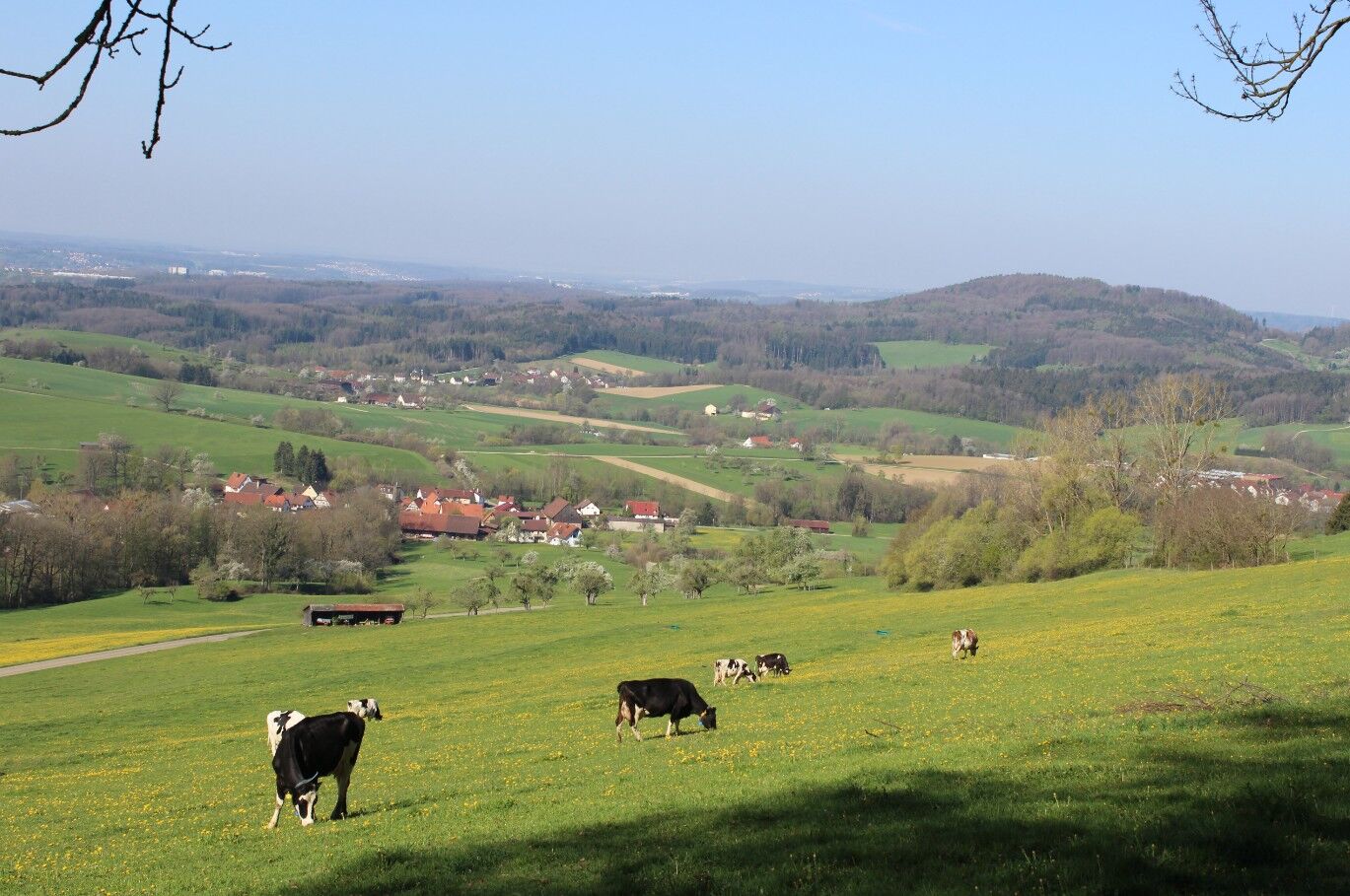

After passing through the idyllic valley, we reach the plateau of the Rehgebirge. Via Wißgolding, the route continues to the highest point of the trail: the Stuifen. The Stuifen’s elevation offers a magnificent view over the other two Kaiserberge mountains, the Voralps region, and toward the Fildern.
From the highest point, the trail continues to the Rechberg with its Hohenrechberg Castle. Via the Aasrücken ridge, we reach the tour’s grand finale: the Hohenstaufen. By this point at the latest, it’s well worth taking a break to enjoy the picturesque view of the Rem and Filstal valleys.
Áno
Wear sturdy, non-slip shoes and weather-appropriate clothing. A backpack with water, snacks, and a first-aid kit is recommended.
When it's wet, some trails can be slippery and dangerous. Watch your step and use hiking poles for stability if necessary.
Hohenstaufen is easily accessible via the B10 (Göppingen exit) as well as via the surrounding state and county roads. Once in town, follow the signs to the hiking parking lot.
You can find the district schedule at: www.vvs.de/fahrplan
Grabengasse Parking Lot
T2
Code of Conduct:
Respect trail closures and the quiet zones established in the recreational trail plan. Leave no trace—such as trash or animal waste—and treat the trails with care. Be proactive and considerate. Adapt your behavior to the situation at hand. Safety comes first. Respect other users of the woods and open fields. Be considerate of animals and plants. Plan ahead and make the most of daylight. Try to avoid the early morning and evening twilight hours. Observe the ban on entering agricultural land during the growing season. Stay on marked trails and avoid forest edges; this helps wildlife get used to people.For more information, visit ruecksicht-macht-wege-breiter.de
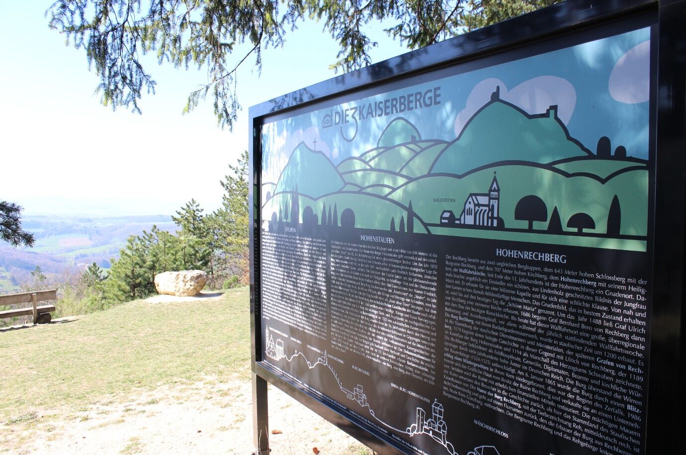
The Three Emperors’ Hills consist of Stuifen, Rechberg, and Hohenstaufen. Stuifen is the only hill that is undeveloped. A castle dating from the 11th century once stood on Hohenstaufen. Excavations have revealed that Hohenstaufen was already inhabited before that time. The ruins of the castle, which was burned down during the Peasants’ War, have been archaeologically restored and are open to visitors today. The Rechberg is also home to a castle. Built in the 13th century, it was spared during countless wars and is therefore in much better condition than the castle on the Hohenstaufen. The origin of the term “Three Imperial Hills” remains unclear to this day, as only the Hohenstaufen was ever used by an emperor.


Obľúbené výlety v okolí
-
4,5
Löwenpfad "Orchideenpfad" - Herbs, Pasqueflower and Juniper Heathlands
strednáTuristika 9,33 km -
4,9
Löwenpfad "Staufer-Runde" - Barbarossa's traces before a dreamlike backdrop
strednáTuristika 11,3 km -
5,0
Löwenpfad "Heldentour" - The king stage of the Löwenpfade
ťažkéTuristika 23,6 km -
4,4
Löwenpfad "Geislinger Felsen-Tour" - up and down through the Eybach valley
strednáTuristika 10,8 km -
4,5
Löwenpfad "Weitblick-Tour" - High up and far-reaching view
ťažkéTuristika 12,0 km -
3,7
Löwenpfad "Wasserberg-Runde" - pure panorama and typical Swabian Jura landscapes
ťažkéTuristika 12,0 km -
3,5
Lion trail "Messelberg tour" - hiking with impressive views
strednáTuristika 7,72 km -
5,0
Blicklestour Lauterstein
ťažkéTuristika 13,8 km -
5,0
Path of Faith 15 - Heldenberg Trail
strednáTuristika 8,02 km -
5,0
Löwenpfad "Spielburg-Runde" - Around the mountain Hohenstaufen
svetloTuristika 3,53 km
Turistika a stopovanie


Nenechajte si ujsť ponuky a inšpiráciu na ďalšiu dovolenku
Vaša e-mailová adresa bol pridaný do poštového zoznamu.





