







Haslach - The Panoramaweg Süd
Úroveň náročnosti: T1

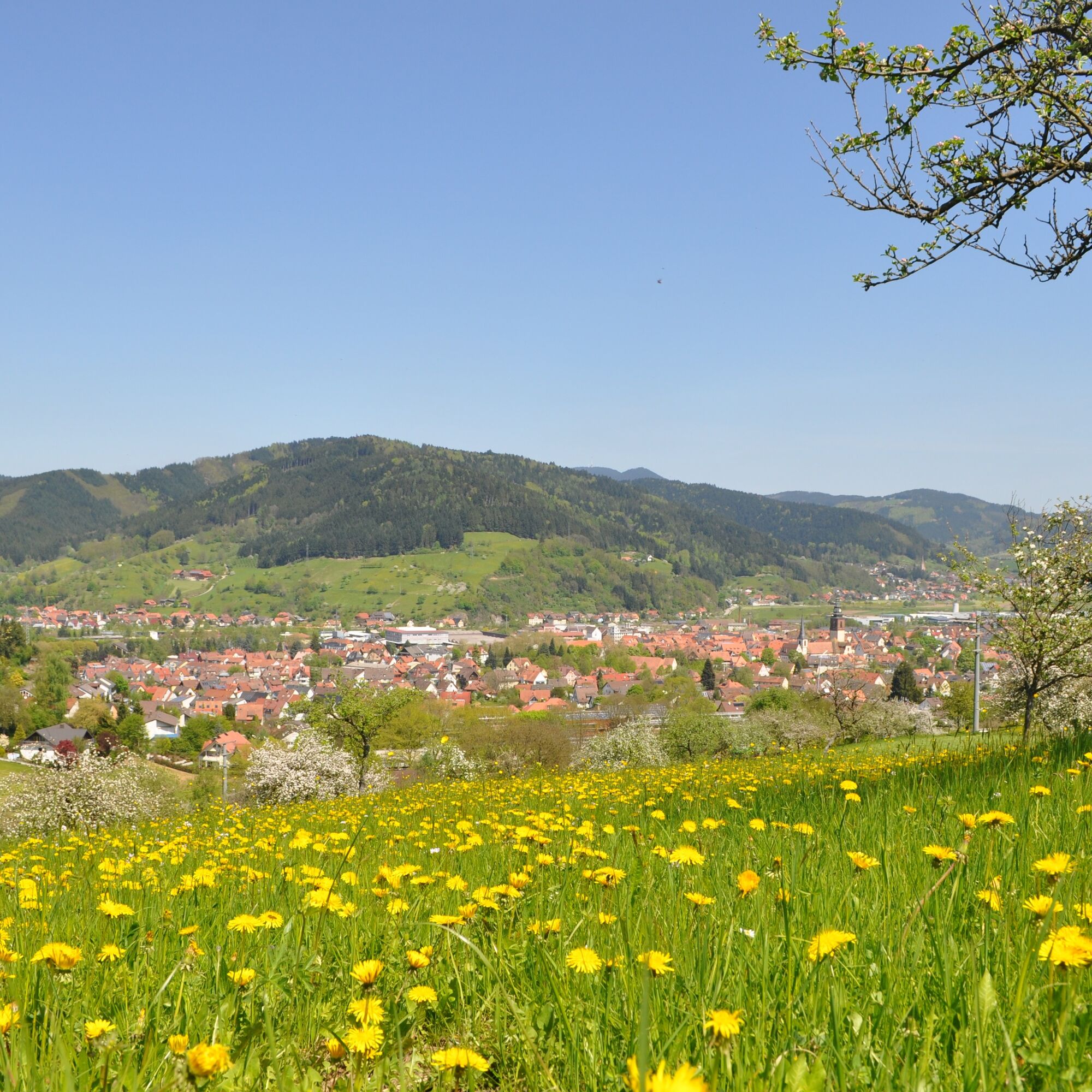
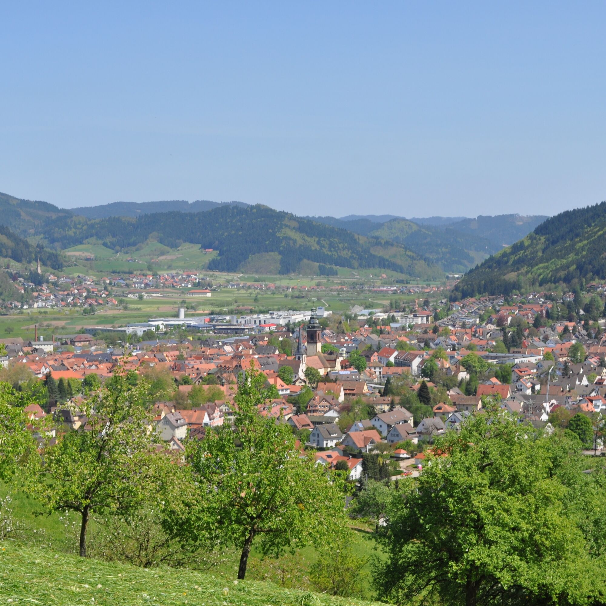
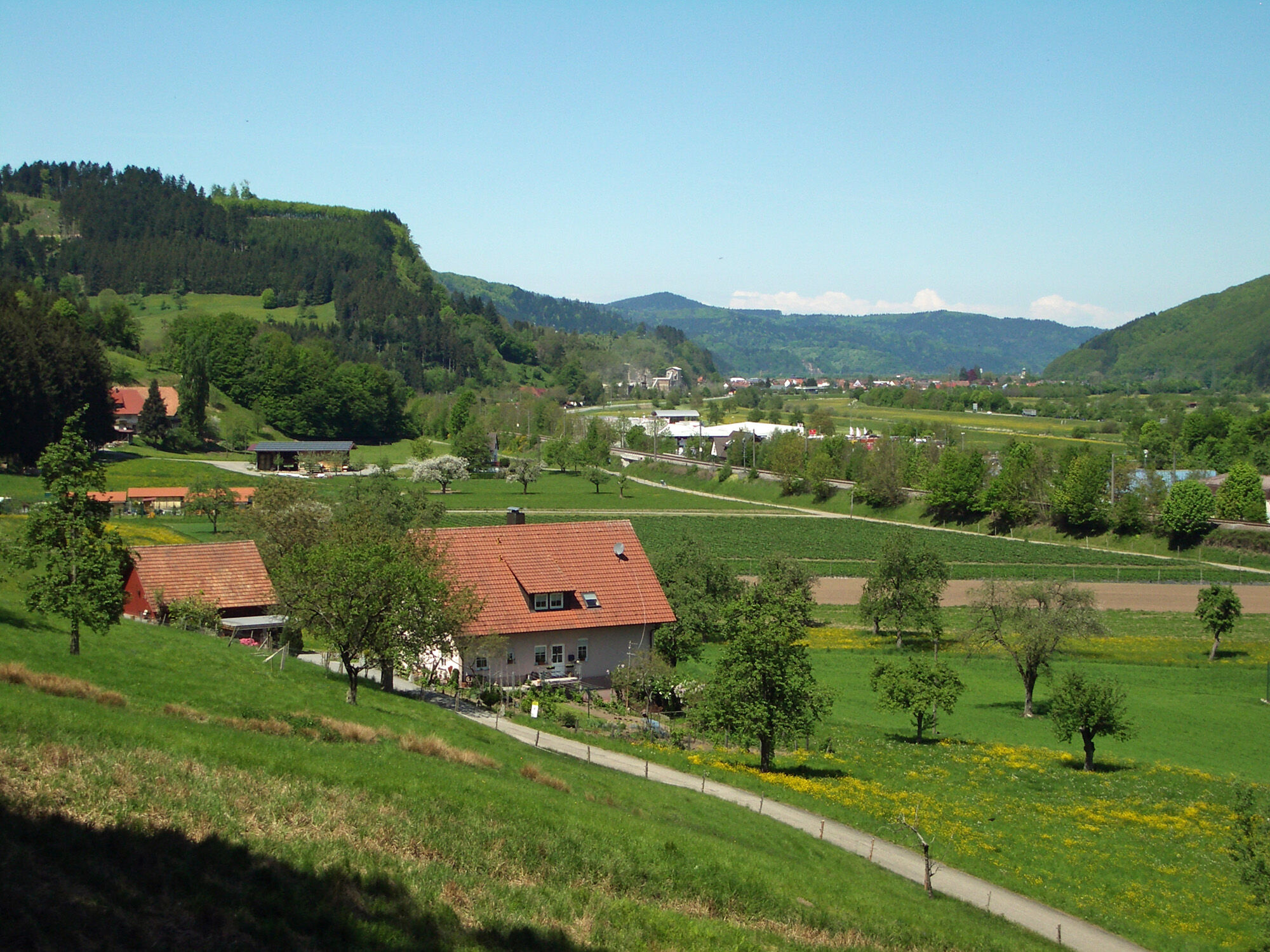
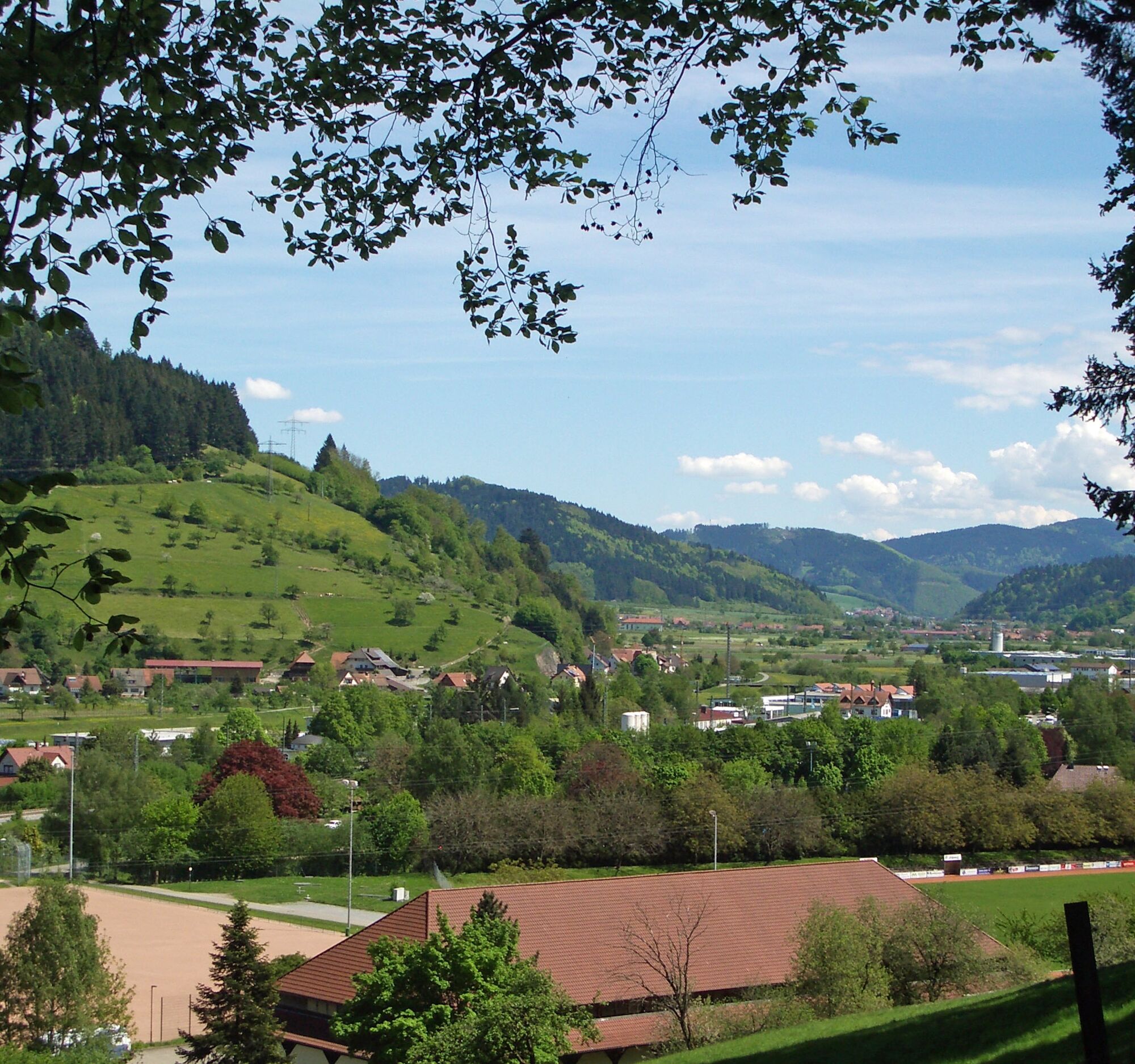
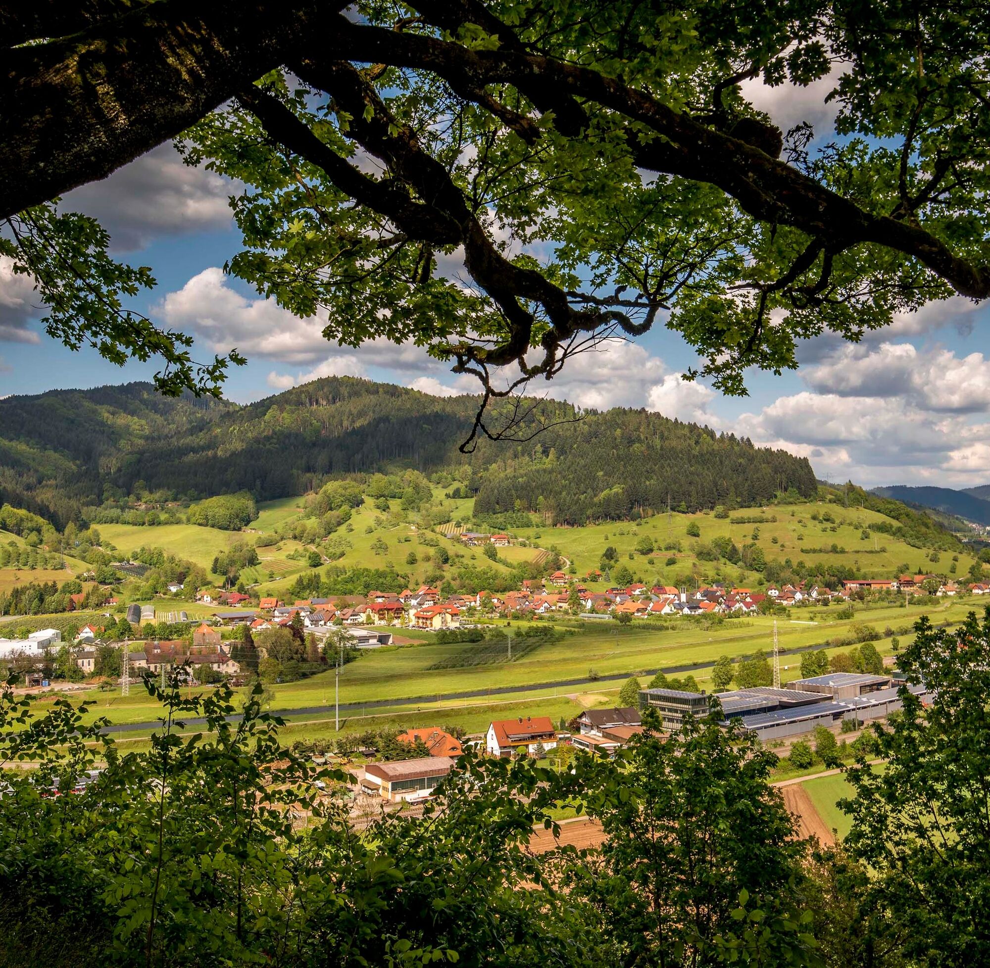
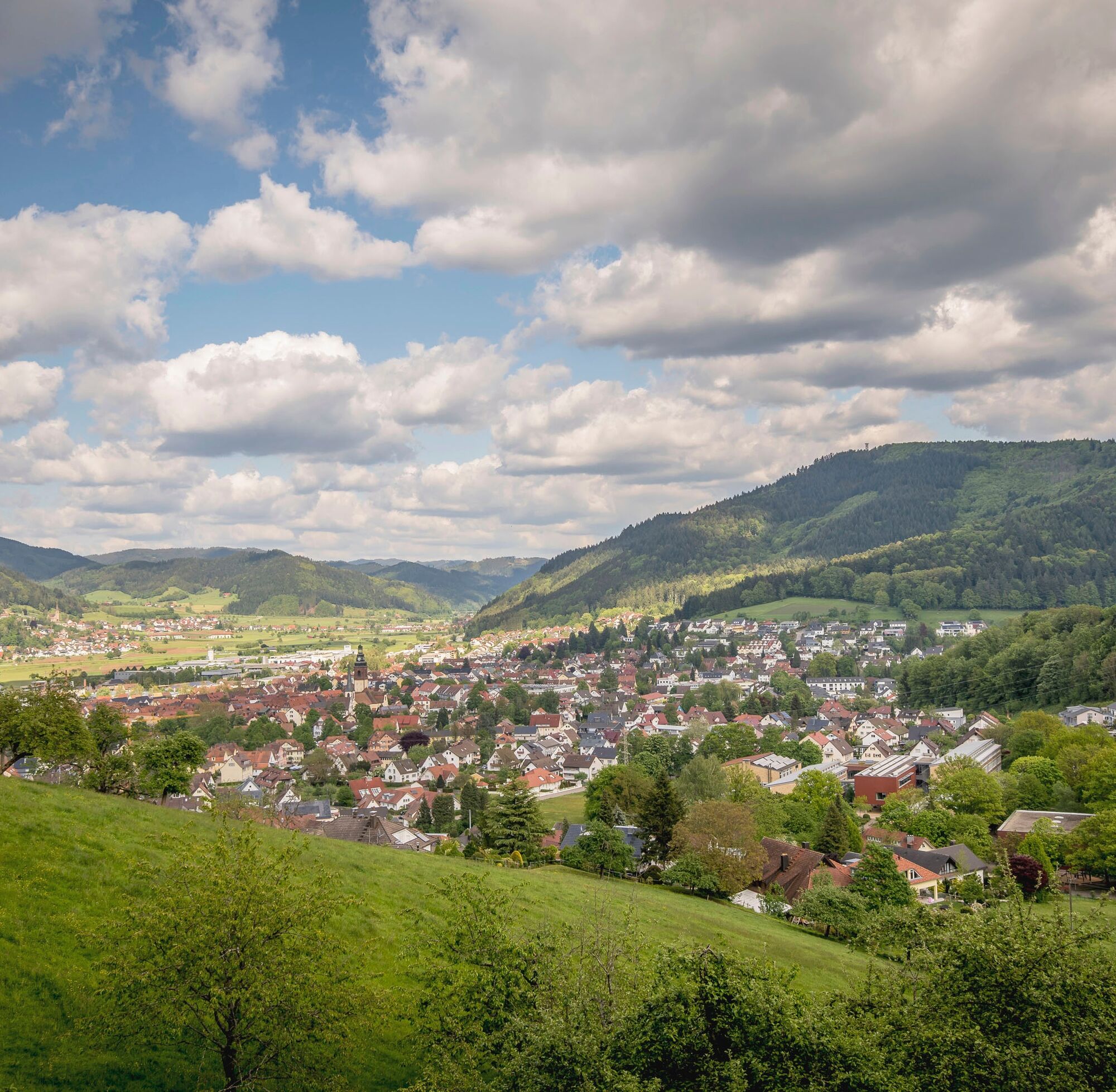
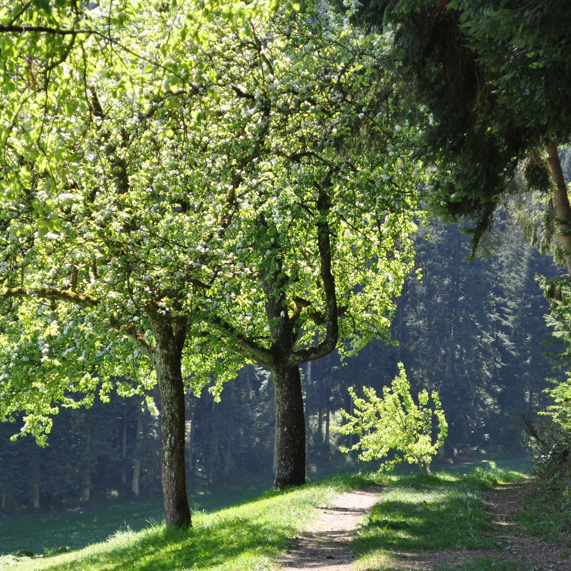
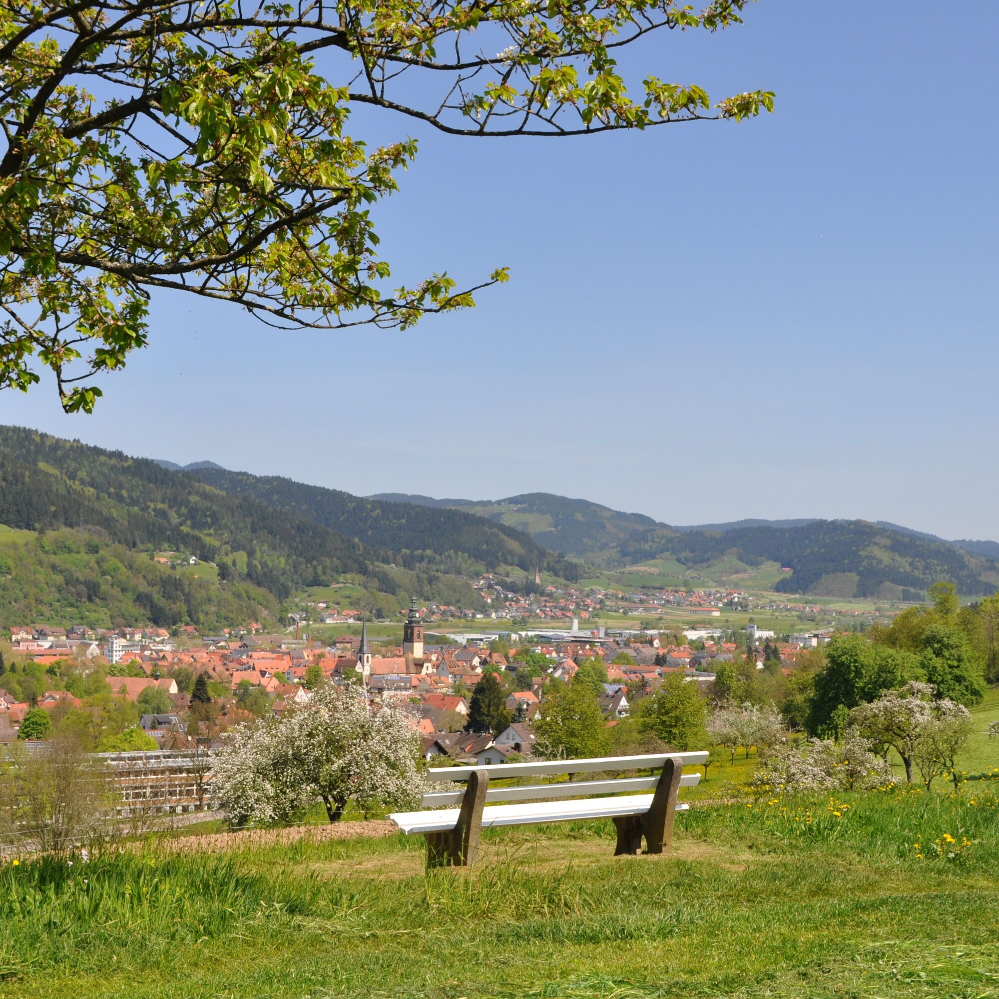
The Panoramaweg Süd offers frequently fascinating views of the picturesque Haslach and the landscape of the middle Kinzigtal with pleasantly few elevation meters to overcome. A break at the Waldsee (refreshment...
The Panoramaweg Süd offers frequently fascinating views of the picturesque Haslach and the landscape of the middle Kinzigtal with pleasantly few elevation meters to overcome. A break at the Waldsee (refreshment opportunity) in the middle of the route is recommended. The route itself can be spontaneously shortened at several points with a direct return to the Haslach half-timbered old town.


Start: Tourist Information/Monastery parking lot
Tourist Information - Cemetery - Sports hall - Galgenbühl - Sommerhalde - Hintere Schänzle - Am Schänzle - Brühl - Hagsbacher Berg - Waldsee - Ziegelgrün - Pfaffenkähner - Rotkreuz - Heiligendobel - Mill Chapel - Protestant Church - Historic Old Town - Hofstetter Straße - Tourist Information
The names (location names) such as "Cemetery" can be found on the main signposts of the Black Forest Club. The main signposts are always located at intersections of marked hiking trails. The arrow-shaped signs usually show three nearby destinations (next location names) and one distant destination with kilometer indications. Along the way, please follow the symbol that is printed on the main signpost at your next location name, e.g., yellow diamond. You will also find the name of your location on the signpost with elevation information at this point. Outside the town, the Panoramaweg Süd is also marked with the older signposting with a green P inside a circle - however, this marking is not continuous, please note.
In reviews, it is often said that it is "noisy" and that one hears "noise." Basically, no matter where you are and where you hike worldwide, this depends on the distance from civilization. The further away from civilization, the less you hear any civilization noises such as road traffic. The Panoramaweg Süd is largely close to Haslach, thus near civilization, which is why noise from civilization is unavoidable. Anyone wanting peace must go to higher elevations and/or away from communities, towns, and roads. But you should always remember that we ourselves are civilization, and as the title of the route says, this path is about the panoramas, the many beautiful views especially of Haslach, the Kinzigtal, and its side valleys that you will not find elsewhere.
Áno
sturdy footwear, beverage recommended
On the B33 or B294 to Haslach. In Haslach, follow the local signs for the Costume Museum and Tourist Information.
Ortenau S-Bahn and Black Forest Railway to Haslach. From the station, it is about a 10-minute walk to the Old Capuchin Monastery. With Kinzigtal bus line 7160 to the "Stadthalle" stop. From there it is a two-minute walk to the Old Capuchin Monastery.
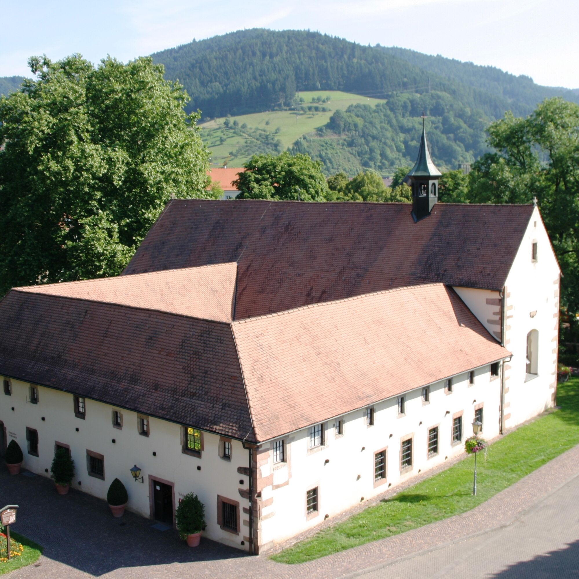
At the Tourist Information in the Old Capuchin Monastery, there is a large monastery parking lot where you can park for free. There are also two bus parking spaces here, and motorhomes are allowed to use the parking lot without restrictions. Another free parking lot is available on Steinacher Straße opposite the Aral gas station.
T1
Hiking tips with route sketches showing the sign locations are available for free at the Tourist Information, open from April to mid-October, also on weekends.
Hiking map Gutachtal, Middle Kinzigtal, 2nd edition, available at the Haslach Tourist Information,
Tel.: 07832/706-172, info@haslach.de
Waldsee terrace, phone: + 49 (0) 7832 / 8977, closed on Tuesdays!
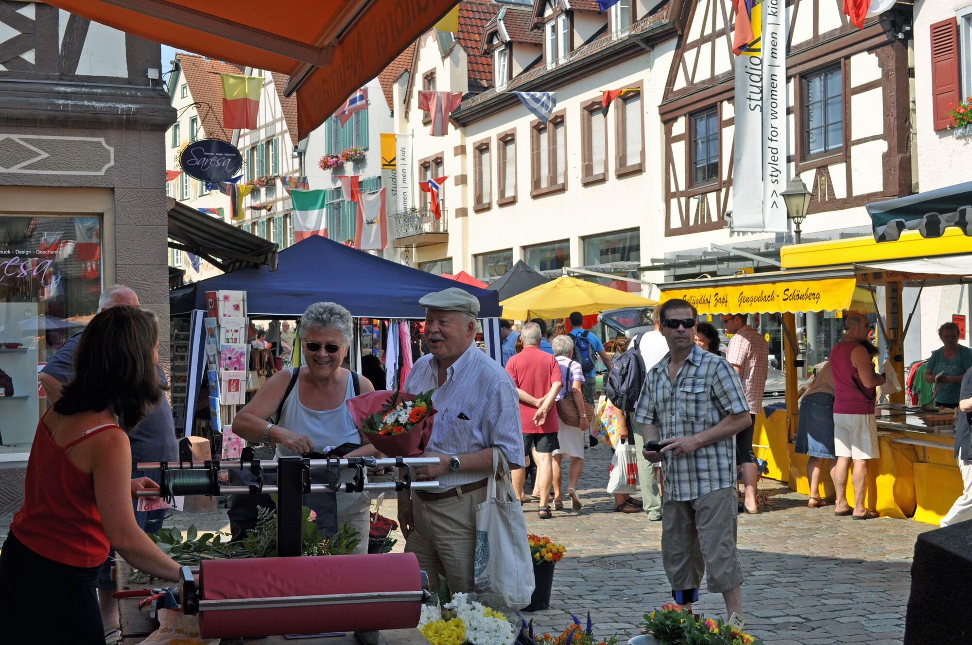
Black Forest Costume Museum, historic half-timbered old town, ideal for strolling and enjoying, and much more.
Obľúbené výlety v okolí
-
4,8
Hahn und Henne Tour
strednáTuristika 15,0 km -
4,3
Oberhamersbach Vesperweg
strednáTuristika 14,5 km -
4,8
Ortenau legend circular routes: Devil's Pulpit
strednáTuristika 10,2 km -
4,3
Paradiessteig Hofstetten
strednáTuristika 12,8 km -
4,7
Waldsee circular route to the Urenkopf tower
strednáTuristika 7,30 km -
5,0
Wolfach settlers' loop large round
strednáTuristika 9,04 km -
Westweg - Westvariante
ťažkédiaľková pešia trasa 288,8 km -
4,5
Sontagstour
svetloTuristika 11,8 km -
5,0
Gemütliche Runde ab Wanderparkplatz Pfingsteck, Freiamt
svetloTuristika 4,62 km -
5,0
Premiumweg Wolfacher Schlossblick
strednáTuristika 7,12 km
Turistika a stopovanie


Nenechajte si ujsť ponuky a inšpiráciu na ďalšiu dovolenku
Vaša e-mailová adresa bol pridaný do poštového zoznamu.





