







Seeburgsteig Bad Urach
The Seeburgsteig is one of our five premium hiking trails Grafensteige that lead our hiking guests to the natural beauties within the Swabian Alb Biosphere Reserve. If you want to see a lot of the Urach...
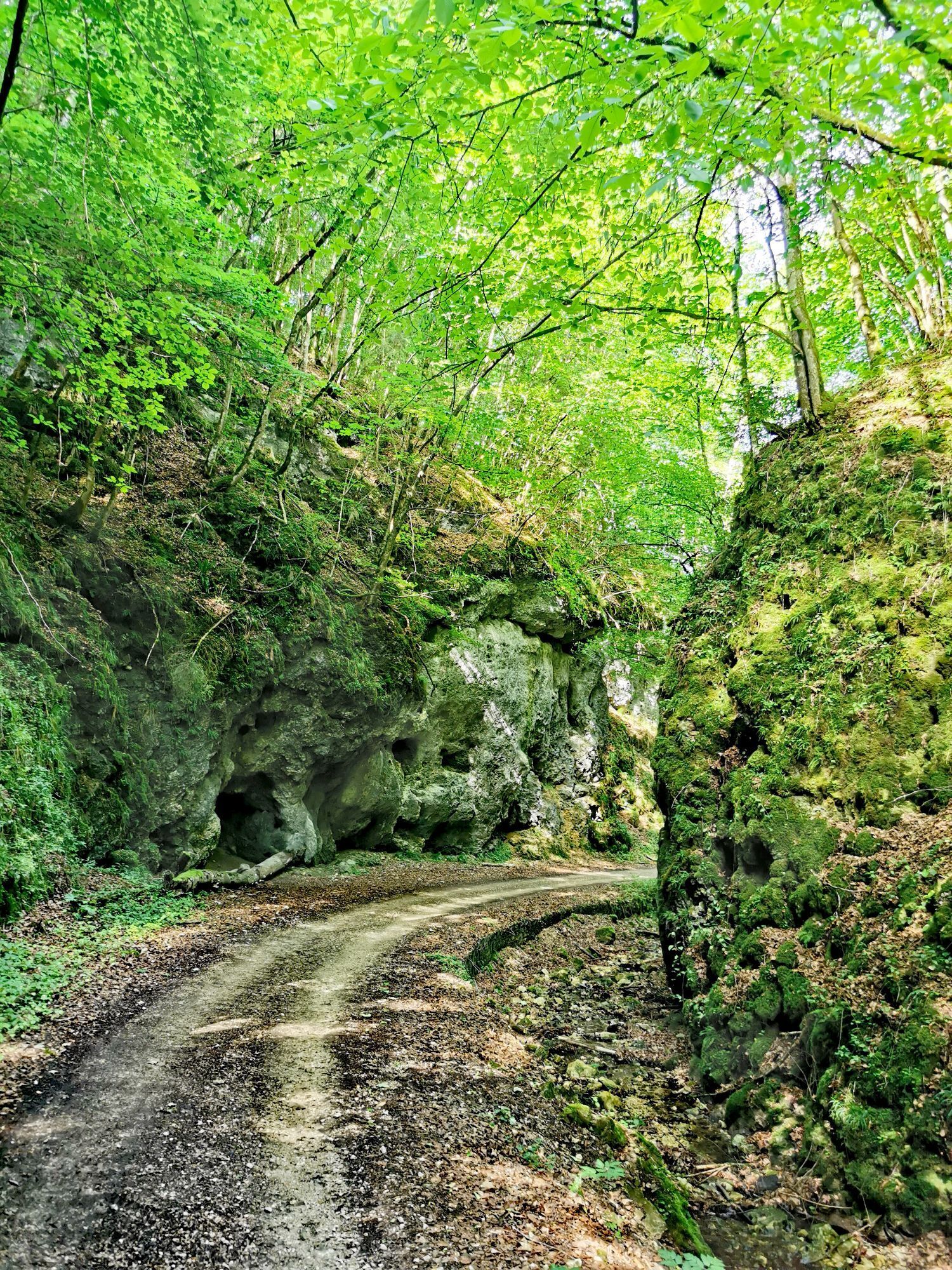
The Seeburgsteig is one of our five premium hiking trails Grafensteige that lead our hiking guests to the natural beauties within the Swabian Alb Biosphere Reserve. If you want to see a lot of the Urach Alb and also like to hike undisturbed, this route is just right. Across meadows, pastures, juniper heathlands, and other paths, this route winds around the small village of Seeburg.
On the first half of the route, we pass through a high valley above Seeburg, enjoy wonderful views of the village and the castle Uhenfels perched on the opposite mountain, and pass several cattle gates where with some luck we may encounter a kid or two. On the second half of the route, we hike on the Trailfinger Way to the source of the Erms spring in the romantically wild Mühltal. The path winds through the lush green mixed forest in the cool Trailfinger gorge and then leads over a wooden boardwalk with hairpin bends up to the Littstein, which lies in the middle of a core zone of the Swabian Alb Biosphere Reserve. From here, we hike over wide high plateaus to the Burgberg, down to the Seeburg memorial, and shortly thereafter reach our starting point again.
You can order the brochure with all premium hiking trails in Bad Urach for free here. Alternatively, you can also download our free app for iPhone and Android with route descriptions. So you always know where you are.

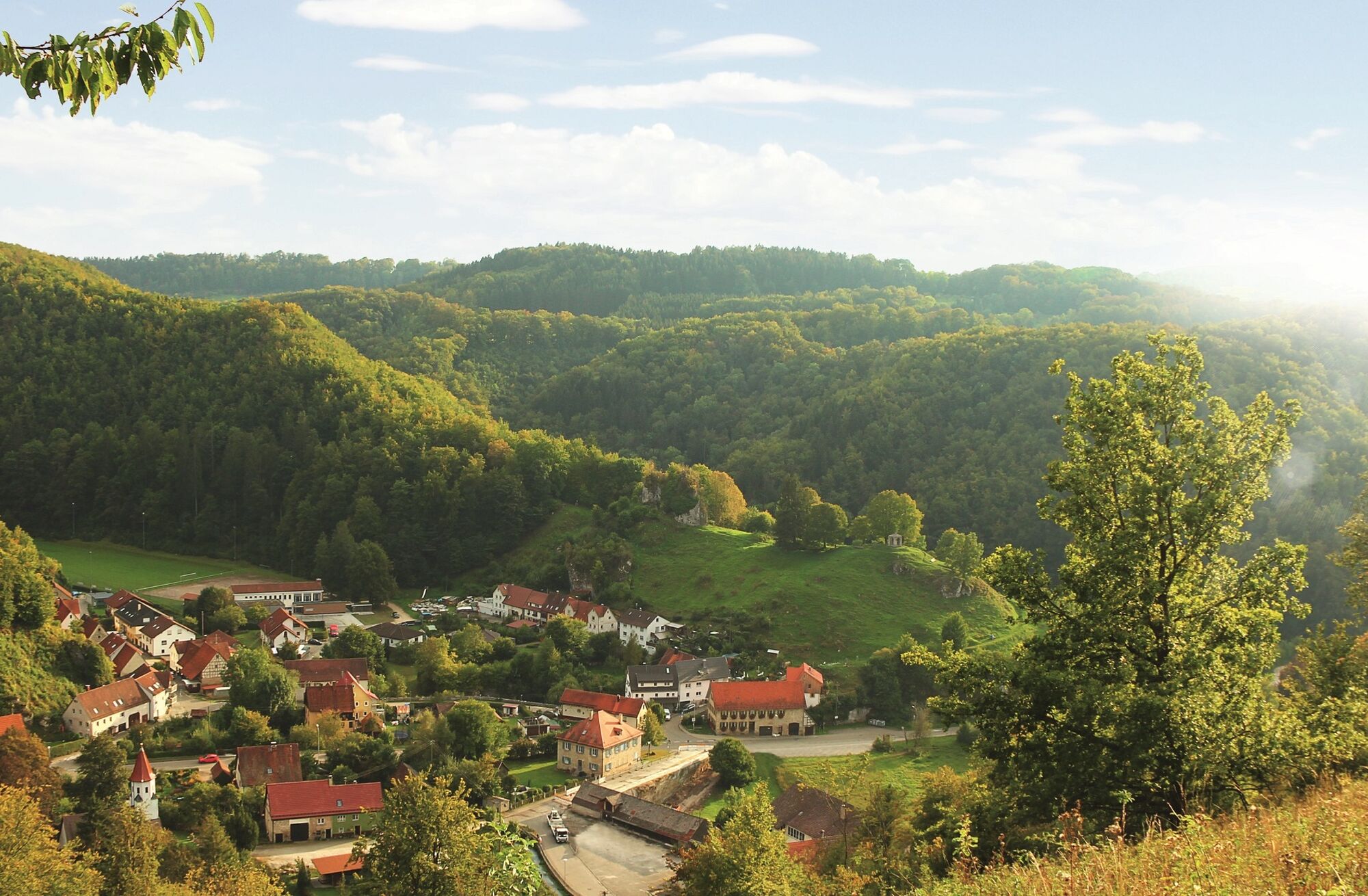
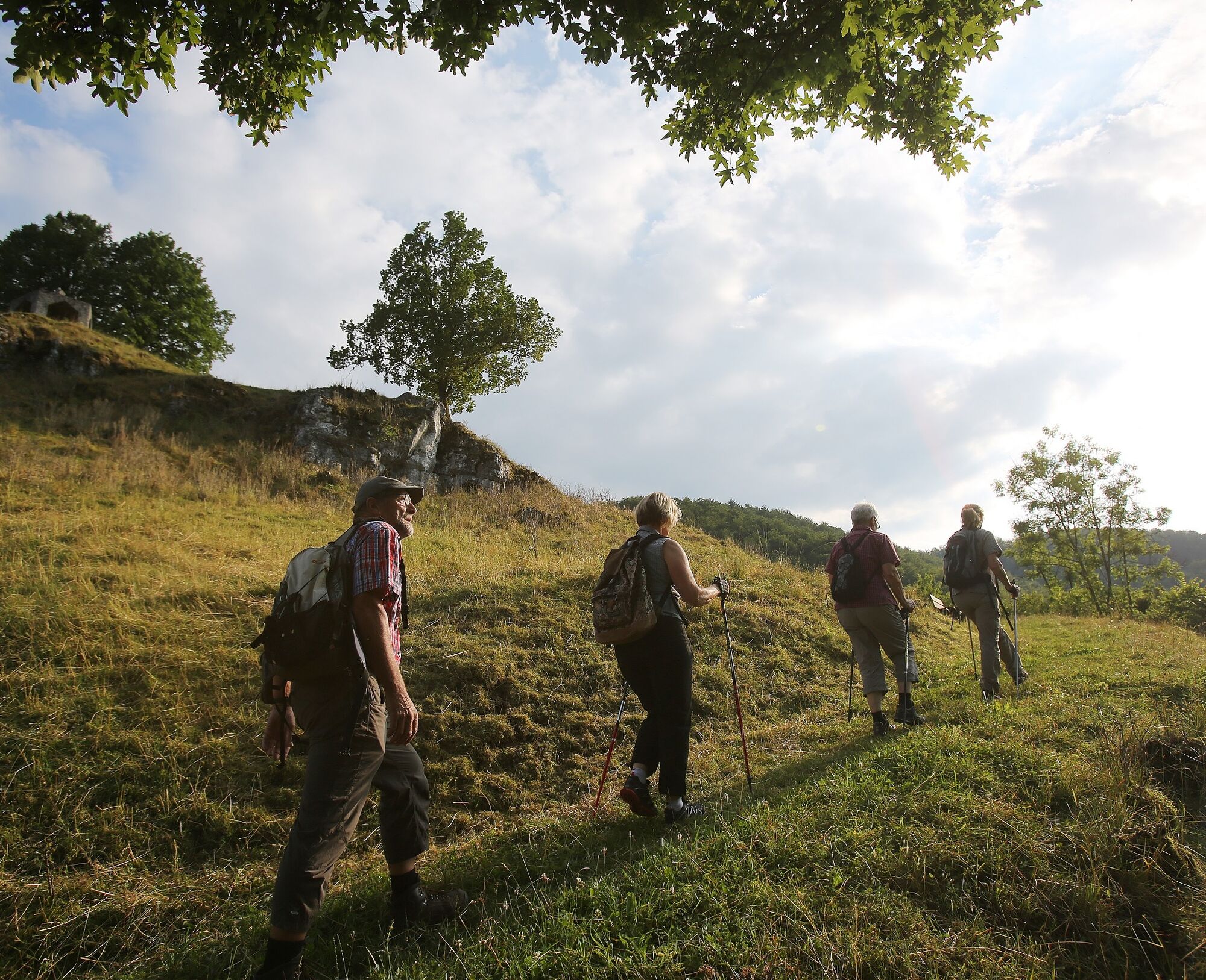
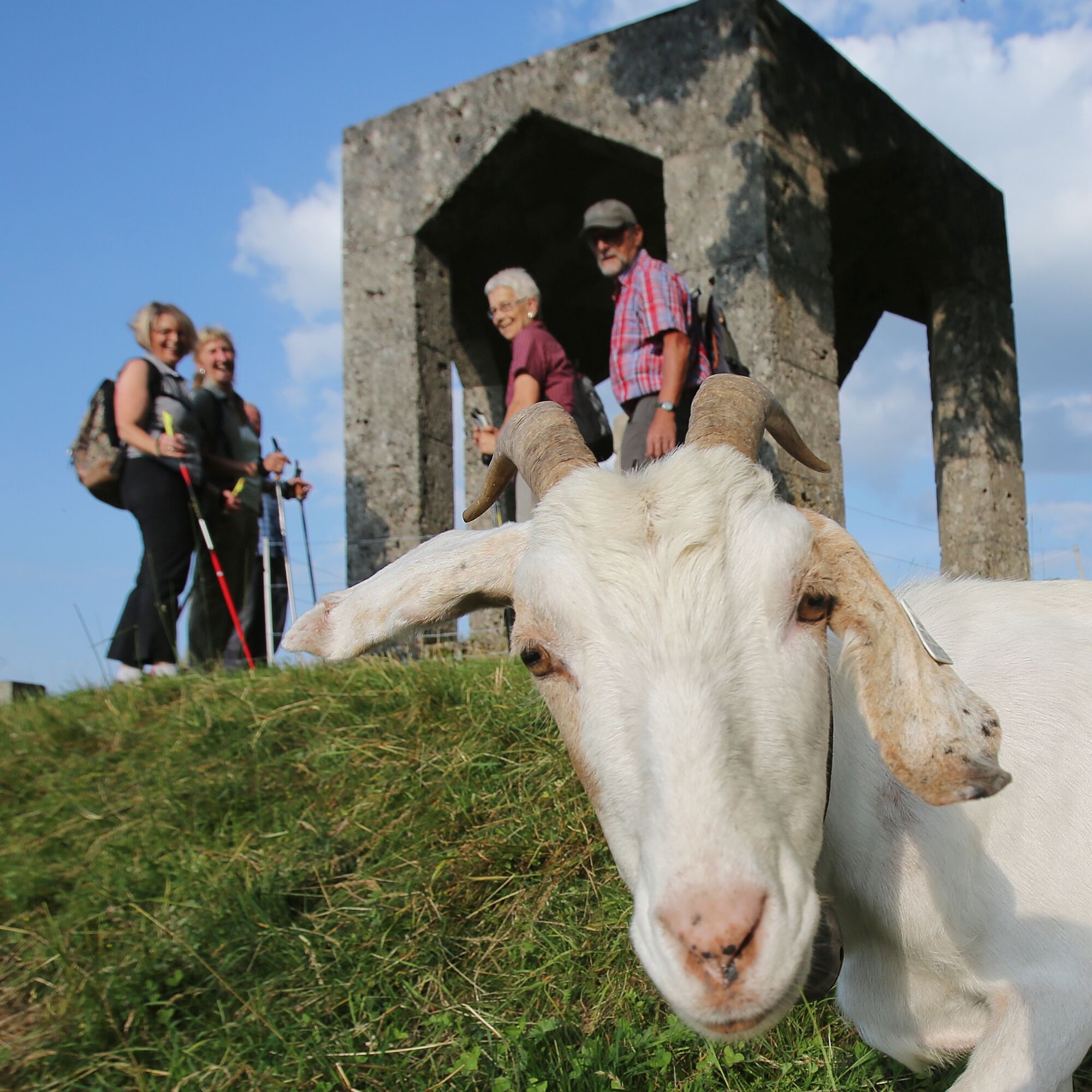
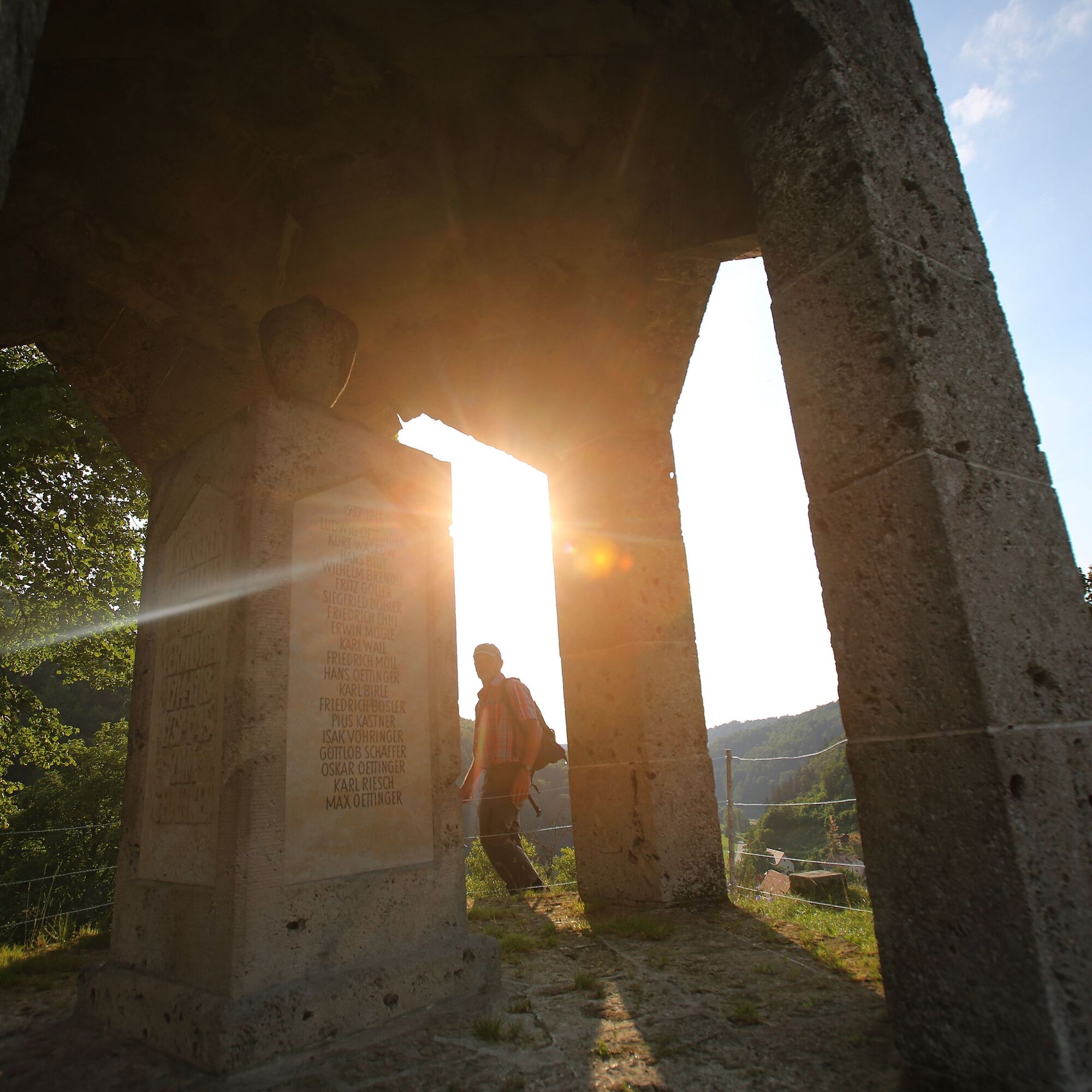

Our route begins at the P40 parking lot in the center of Seeburg. We walk west, pass the Speisecafé Schlössle on the outskirts of town, and follow the signs uphill towards Stilles Weidentäle, a high valley above Seeburg. After a clearing, we turn sharply right and hike through the forest towards the viewpoint Seeburg-Uhenfels Castle. Here we pass the first of several cattle gates on the hike. Along the edge of the Hartberg slope, we enjoy magnificent views of the village and the castle Uhenfels perched on the opposite mountain. Then we descend again through the forest, cross a lush juniper landscape, and head towards the church and cemetery in the town center. Only for a very short stretch do we walk along the L245, then turn our backs on Seeburg after a few meters and hike south on the Trailfinger Way to the source of the Erms spring in the romantically wild Mühltal. The path winds through the lush green mixed forest in the cool Trailfinger gorge, then climbs steeply and leads over a wooden bridge with hairpin bends up to the Littstein, which lies in the middle of a core zone of the Swabian Alb Biosphere Reserve. From here, we hike over wide high plateaus to the Burgberg and - with the best view of the opposite Schloss Uhenfels - down its northwest flank to the Seeburg memorial. Here we pass another cattle gate. Now we follow the path down into the village and shortly afterwards arrive back at the P40 parking lot, our starting point in Seeburg.
Áno
Sturdy footwear, hiking sticks, and sure-footedness are recommended for this route.
The Grafensteige are hiking paths, not strolls. Sturdy footwear, hiking sticks, and sure-footedness are recommended for all routes. Especially after and during rainfall as well as in the winter months, the calcareous rock and ground, especially on slopes, can be very slippery. Please exercise caution accordingly.
In an emergency, always dial 112. Please mention if the injured persons are located in inaccessible terrain so that the Bad Urach mountain rescue service is also informed, avoiding unnecessary delays in rescue.
On the posts of the arrow signposts you will find a plaque with the exact location number. This is known to the control center. In an emergency, quick help is guaranteed this way.
Please observe the notes on current closures.
From the west towards Reutlingen on the B28 to Bad Urach. From the north/east on the A8 to Kirchheim unter Teck, then on the B465 and B28 to Bad Urach. Continue on the B465 to Seeburg and park at the Seeburg parking lot (P40) in the town center.
Seeburg P 40 parking lot
Áno
Don't have much time for your hike? The Seeburgsteig is shaped like an 8, so you can shorten it and just hike one loop.

Webové kamery z prehliadky
Získajte prehľad
Vždy naživo na mieste s viac ako 9 500 webovými kamerami. bergfex Ako používateľ Pro si teraz môžete pozrieť príslušné webové kamery pre mnohé zájazdy v aplikácii zájazdy z. Môžete si tak priamo prezerať aktuálne podmienky.
Obľúbené výlety v okolí
-
4,8
Wasserfallsteig Bad Urach
strednáTuristika 10,2 km -
4,8
Hohenwittlingensteig Bad Urach
strednáTuristika 6,48 km -
4,8
Hohenurachsteig Bad Urach
strednáTuristika 7,65 km -
4,5
Bad Urach Wasserfall, Runde von Buchhalde
strednáTuristika 12,1 km -
4,5
16 - Through the Trailfinger Gorge
strednáTuristika 6,16 km -
5,0
Lenningen: Weiße Lauter, Wasserfels, Guttenberger-,Gußmannshöhle, Schopflocher Moor, Hohgreutfels, Ruine Wielandstein
strednáTuristika 15,7 km -
Trauf, Höllenlöcher, Wasserfälle und Tal
strednáTuristika 15,8 km -
8 - Around the Waterfall
strednáTuristika 5,98 km -
5,0
Hochbergsteig Bad Urach
strednáTuristika 7,71 km -
Rundweg Uracher Wasserfall Bad Urach, Deutschland
svetloTuristika 5,26 km
Turistika a stopovanie


Nenechajte si ujsť ponuky a inšpiráciu na ďalšiu dovolenku
Vaša e-mailová adresa bol pridaný do poštového zoznamu.





