






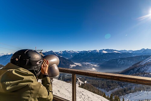
Around the "Gürtenau"

From the town centre, the route leads over the ridge to the "Birklesattel" and across the "Grandeckle" to the "Gürtenau". From there, the path continues into the "Dietental". On this section of the Mühlenbacher...
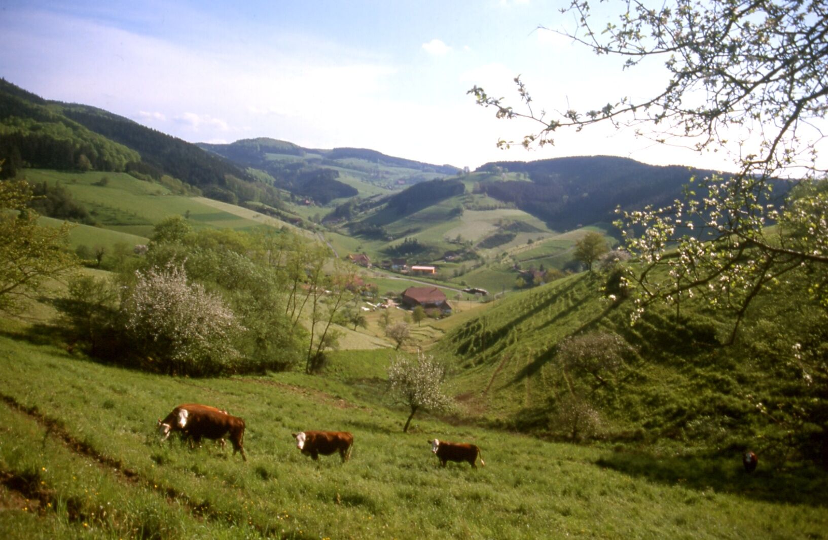
From the town centre, the route leads over the ridge to the "Birklesattel" and across the "Grandeckle" to the "Gürtenau". From there, the path continues into the "Dietental". On this section of the Mühlenbacher panoramic route, you have fascinating views of the well-maintained Black Forest valleys. Partly on narrow paths, partly on forest tracks, you descend to the "Kaiserhof" inn, where there is an opportunity for a cosy break. Along the "Fannisbach" it goes back to the starting point.

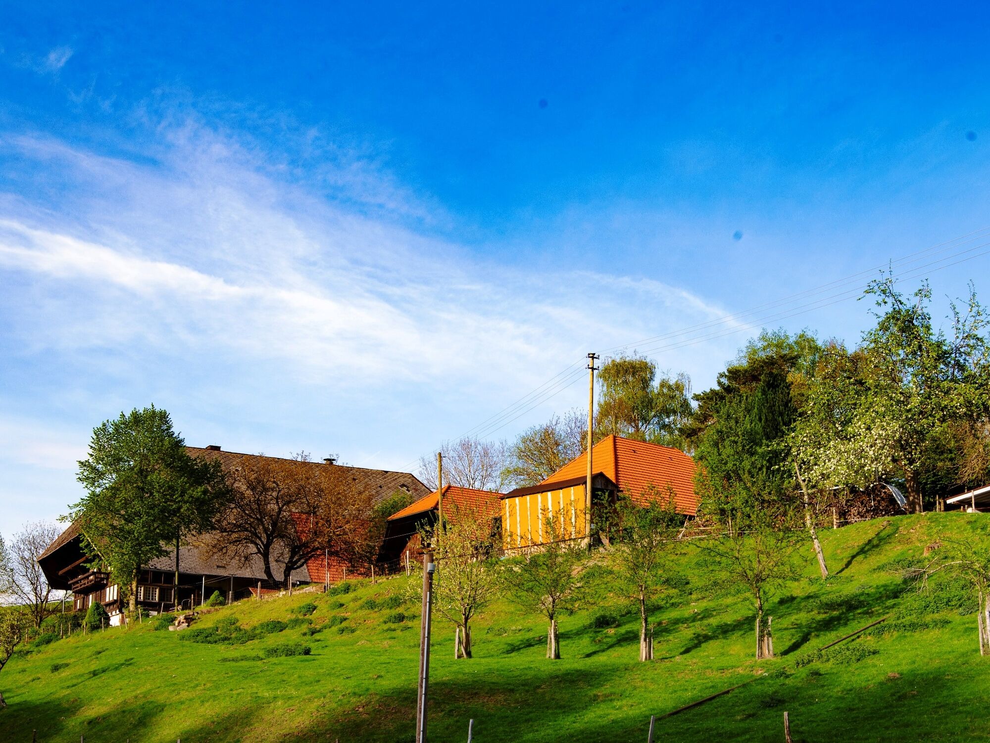

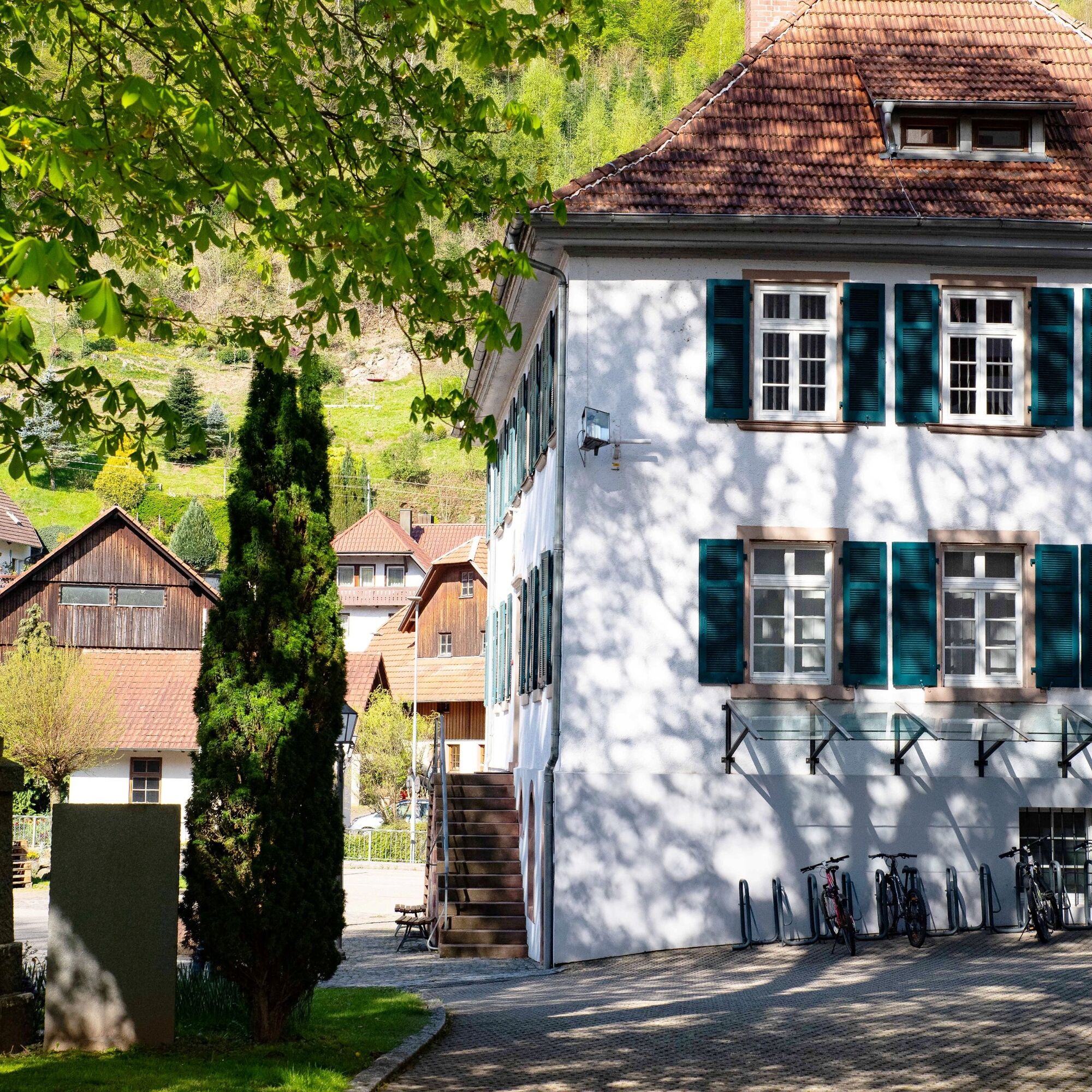

Mühlenbach town hall - Hochenhof - Birklesattel - Am Holmen - Am Grandeckle - Stollengrund - Geigerseppleshof - Am Blustben - Rabenacker - Rumpele - Kaiserhof - Fannis / Stein - Hohweg - Mühlenbach town hall
Bus line 7151 from Haslach
Stop at the church
Sun parking lot, opposite the town hall in Friedhofstraße or Büchernstraße.
Tel.: 07832/706-170, info@gastliches-kinzigtal.de
Obľúbené výlety v okolí
-
4,8
Ortenau legend circular routes: Devil's Pulpit
strednáTuristika 10,2 km -
4,7
Genießerpfad - U(h)rwaldpfad Rohrhardsberg
strednáTematická trasa 8,72 km -
4,3
Paradiessteig Hofstetten
strednáTuristika 12,8 km -
4,8
AugenBlick-Runde Lauterbach Güntersberg
svetloTuristika 10,2 km -
4,5
Panoramaweg Katzenmoos
strednáTuristika 11,0 km -
4,7
Waldsee circular route to the Urenkopf tower
strednáTuristika 7,30 km -
4,0
Over the Blindensee lake to Wilhelmshöhe
strednáTuristika 16,0 km -
4,0
Circular hike on the Black Forest Railway Experience Trail
strednáTuristika 6,56 km -
5,0
Connoisseur path - Hausacher Bergsteig
strednáTuristika 13,5 km -
5,0
Wolfach settlers' loop large round
strednáTuristika 9,04 km
Turistika a stopovanie


Nenechajte si ujsť ponuky a inšpiráciu na ďalšiu dovolenku
Vaša e-mailová adresa bol pridaný do poštového zoznamu.





