







Welschensteinacher Obertal route
Úroveň náročnosti: T1
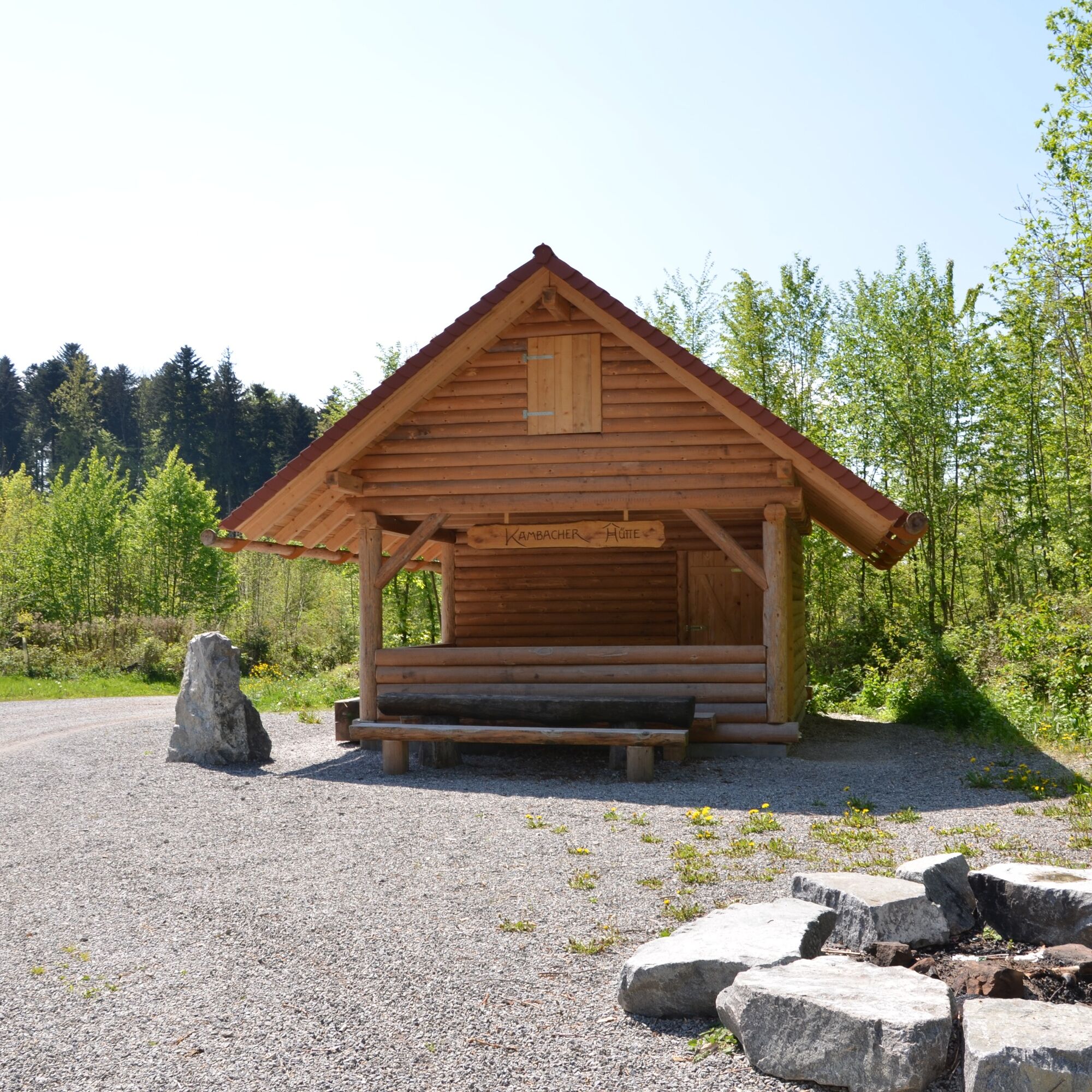
From the Welschensteinach church, the path leads past the signpost “Klettner” to the Spotenhütte. It then continues past the Kambacher Hütte to the Nockenkreuzplatz. The next landmark is the cycle and...
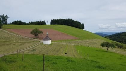
From the Welschensteinach church, the path leads past the signpost “Klettner” to the Spotenhütte. It then continues past the Kambacher Hütte to the Nockenkreuzplatz. The next landmark is the cycle and hiking hostel at Schloßberg. From here, head towards “Hinterer Geisberg” past the Robertskapelle to Palmstein. Follow the signposts towards Kirchberg and back to the village.

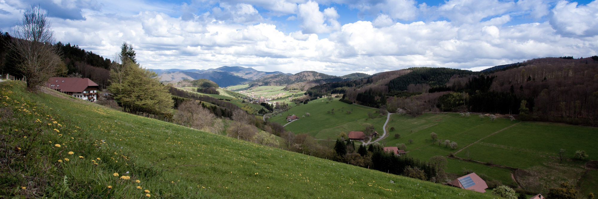


Klettner - Spotenhütte - Kambacher Hütte - Nockenkreuzplatz - Hiking hostel Schloßberg - Robertskapelle - Palmstein - Kirchberg - Village
continue on L103 towards Welschensteinach
Free parking at the sports ground in Welschensteinach
T1
Hiking map Gastliches Kinzigtal, Hornberg and Gutach, 1st edition, available at the Tourist Information Haslach,
Tel.: 07832/706-170
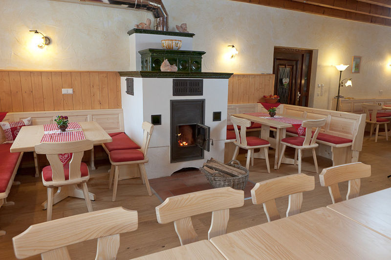
Cycle and hiking hostel
Fam. Bührer
Langbrunnen 28
77790 Welschensteinach
Tel. 07832 5347
https://www.schlossberg-herberge.de
Opening hours:
Mon - Fri from 1 p.m.
Sat, Sun and public holidays from 11 a.m.
or by arrangement (groups of 6 or more please register)
WEDNESDAY AND THURSDAY CLOSED
Inn "Zum Wilden Mann"
Dorfstraße 21
77790 Steinach-Welschensteinach
Tel. 07832/2230
Opening hours:
Monday, Thursday, Friday, Saturday from 5 p.m.
Sundays and public holidays from 12 noon and 5 p.m.
TUESDAY AND WEDNESDAY CLOSED
Holiday periods and closed days can be found on the homepage.
There are good places to stop both at the start and finish points as well as halfway along the route.
Získajte prehľad
Vždy naživo na mieste s viac ako 9 500 webovými kamerami. bergfex Ako používateľ Pro si teraz môžete pozrieť príslušné webové kamery pre mnohé zájazdy v aplikácii zájazdy z. Môžete si tak priamo prezerať aktuálne podmienky.
Obľúbené výlety v okolí
-
4,8
Ortenau legend circular routes: Devil's Pulpit
strednáTuristika 10,2 km -
4,3
Paradiessteig Hofstetten
strednáTuristika 12,8 km -
4,7
Waldsee circular route to the Urenkopf tower
strednáTuristika 7,30 km -
Westweg - Westvariante
ťažkédiaľková pešia trasa 288,8 km -
4,5
Sontagstour
svetloTuristika 11,8 km -
5,0
Gemütliche Runde ab Wanderparkplatz Pfingsteck, Freiamt
svetloTuristika 4,62 km -
4,5
Panoramaweg Katzenmoos
strednáTuristika 11,0 km -
5,0
Connoisseur path - Hausacher Bergsteig
strednáTuristika 13,5 km -
5,0
Around the Flachenberg in Mühlenbach
strednáTuristika 4,78 km -
"King of hiking trails" Panorama Trail Mühlenbach / Small Loop
svetloTuristika 9,36 km
Turistika a stopovanie


Nenechajte si ujsť ponuky a inšpiráciu na ďalšiu dovolenku
Vaša e-mailová adresa bol pridaný do poštového zoznamu.





