







At Hofstetter Höhe

The first panoramic view of this route is right at the starting point. From Fehrenbacher Hof, walk towards "Ob dem Tschäg." Then take the Upper Buchwald Path up to the "Hesseneck." Here, the Hesseneck...
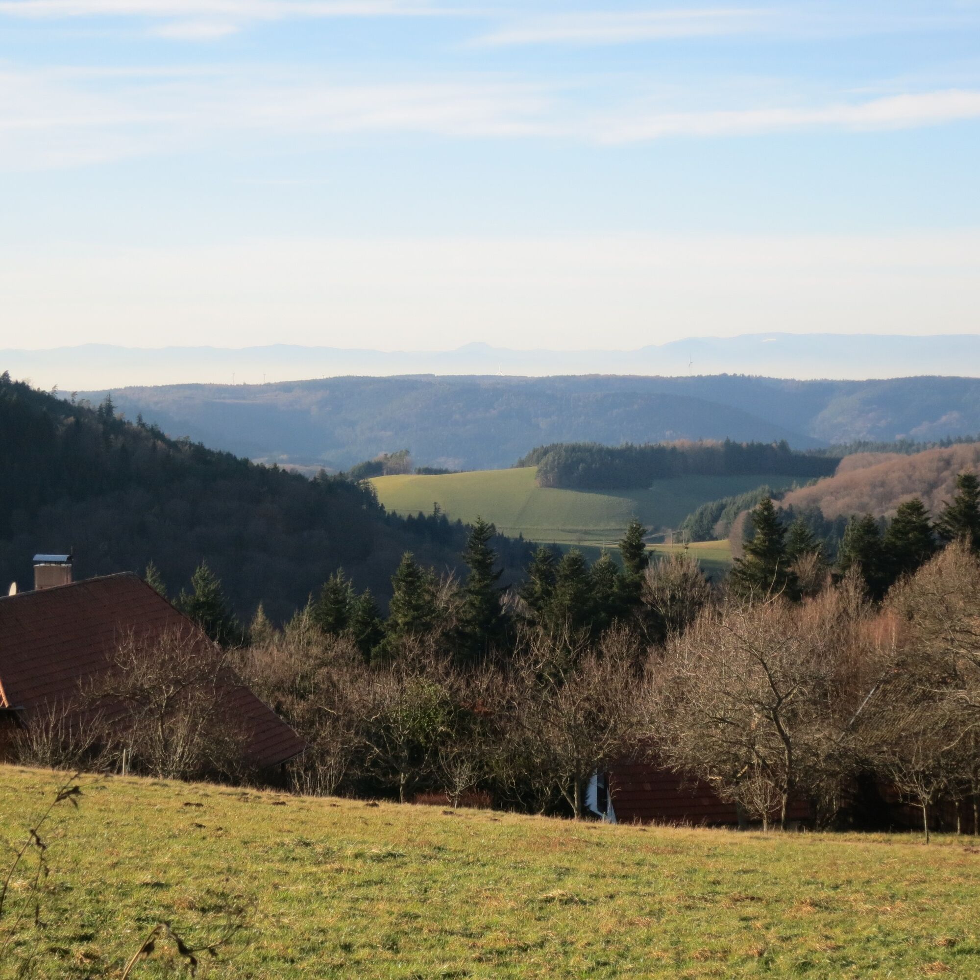
The first panoramic view of this route is right at the starting point. From Fehrenbacher Hof, walk towards "Ob dem Tschäg." Then take the Upper Buchwald Path up to the "Hesseneck." Here, the Hesseneck Path continues. Follow the yellow diamond. You will pass the Waldfriedhöfle, which also has a seating area with a fountain. Via the Hessenberg Path, you reach the Höhenhäuser with the Gasthaus Kreuz. Follow the signage of the Great Hansjakob Way (black hat on a white diamond). You will reach the old border path, where you can enjoy an impressive view of Hörnleberg and Schonach. The old border point is a reminder of former boundaries. Passing the Alemannorum, the highest point of Hofstetten, you continue past Heidenstein to Hessenberg. In the forest, there is an old border stone dating back to 1559. The path leads you further towards Buchwald. From here, follow the yellow diamond again to the Upper Steinhof. In the distance, you can see the Elz valley with the Rohardsberg. Through the Niederhofer Eck, you return to the starting point.


Fehrenbacher Hof - Ob Tschäghof - Hessenberg Path / Hesseneck - Waldfriedhöfle - Höhenhäuser - old border path - Alemannorum - Hessenberg - Buchwald - Upper Steinhof - Niederhofer Eck - Fehrenbacher Hof
free parking spaces at Fehrenbacher Hof
Tel.: 07832/706-170, info@gastliches-kinzigtal.de
Höhenhäuser 2
79215 Biederbach
Tel. 07826 215
info@hoehengasthaus.de
Closed on Mondays & Tuesdays


Obľúbené výlety v okolí
-
4,8
Ortenau legend circular routes: Devil's Pulpit
strednáTuristika 10,2 km -
4,7
Genießerpfad - U(h)rwaldpfad Rohrhardsberg
strednáTematická trasa 8,72 km -
4,3
Paradiessteig Hofstetten
strednáTuristika 12,8 km -
4,5
Panoramaweg Katzenmoos
strednáTuristika 11,0 km -
4,7
Waldsee circular route to the Urenkopf tower
strednáTuristika 7,30 km -
5,0
Connoisseur path - Hausacher Bergsteig
strednáTuristika 13,5 km -
4,5
Sontagstour
svetloTuristika 11,8 km -
Westweg - Westvariante
ťažkédiaľková pešia trasa 288,8 km -
4,4
Simonswald - Haslachsimonswald - Mittelhaslach - Hugenhof
svetloTuristika 10,1 km -
5,0
Gemütliche Runde ab Wanderparkplatz Pfingsteck, Freiamt
svetloTuristika 4,62 km
Turistika a stopovanie


Nenechajte si ujsť ponuky a inšpiráciu na ďalšiu dovolenku
Vaša e-mailová adresa bol pridaný do poštového zoznamu.





