







Ammergau Alps meditation path: 1st day stage Wieskirche - Rottenbuch Monastery - Soier Lake

Ammergau Alps meditation path – natural historical milestones & power sources for a free spirit
To escape the here and now while gazing at wonderful natural monuments, the 85-kilometer-long Ammergau Alps...
Ammergau Alps meditation path – natural historical milestones & power sources for a free spirit
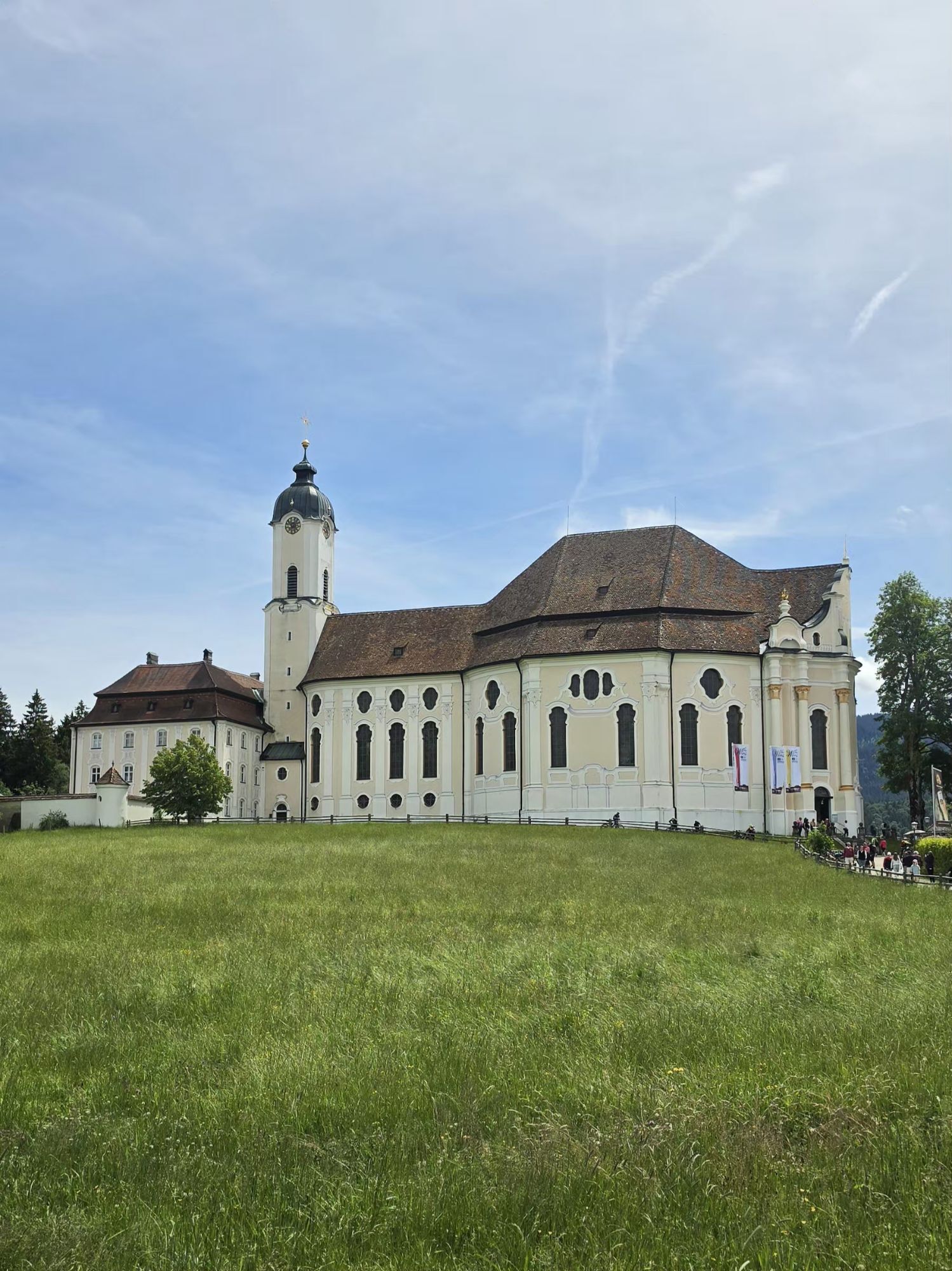
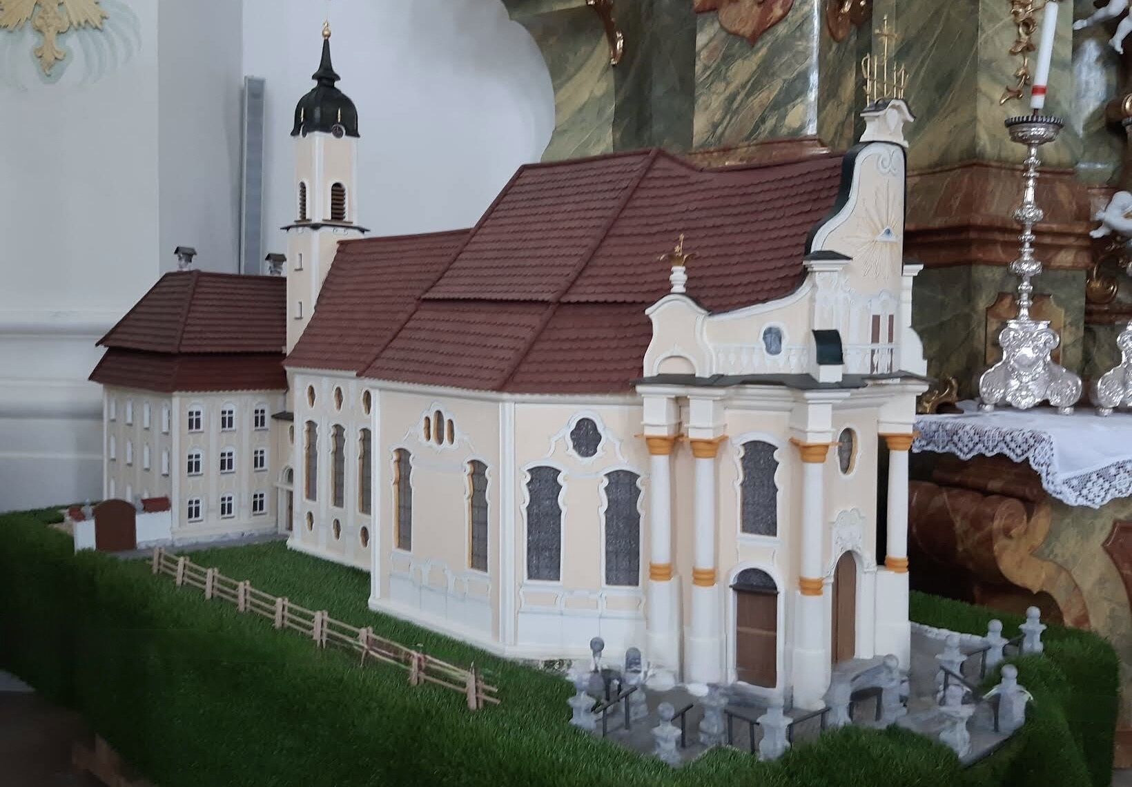
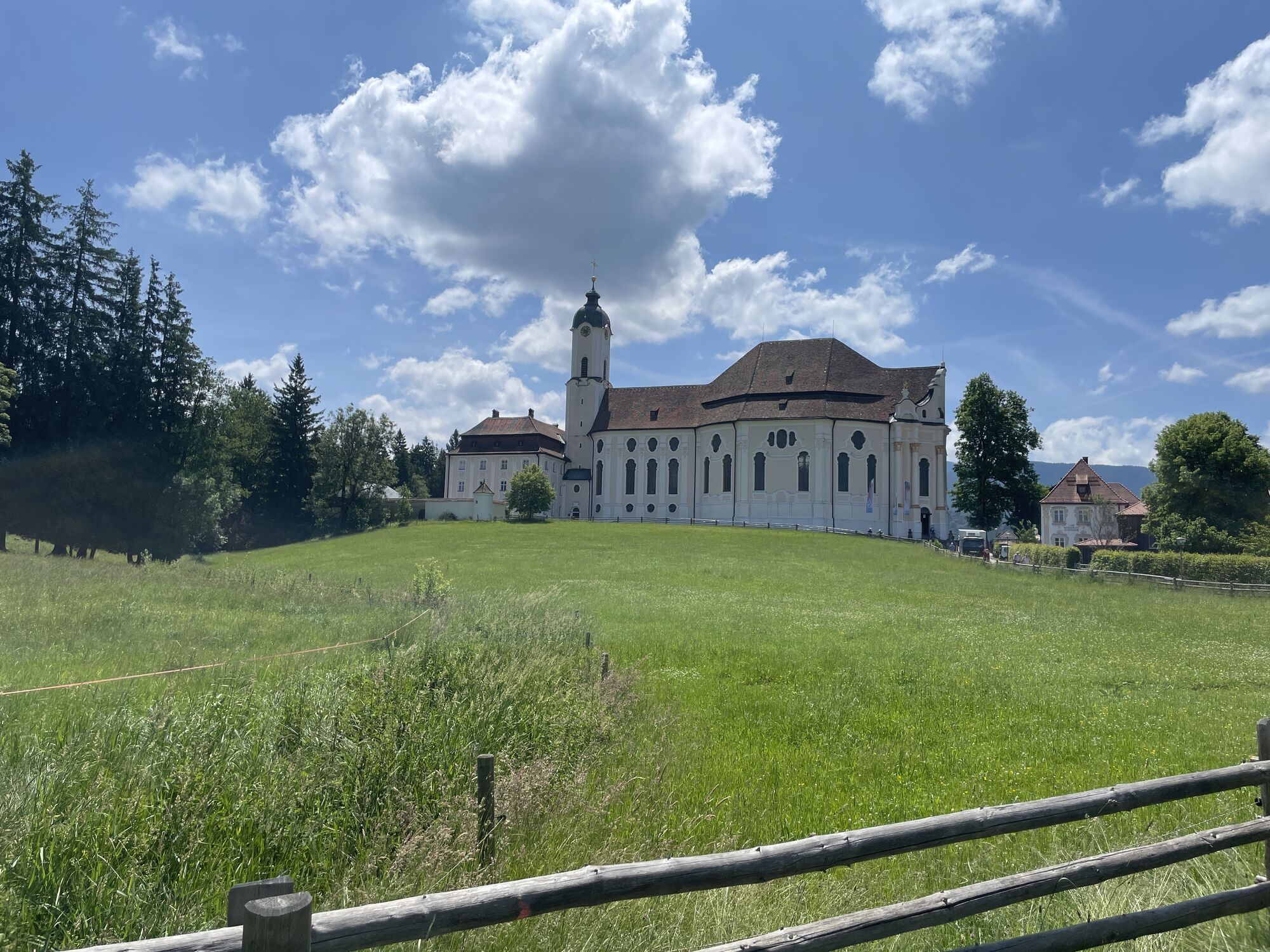
To escape the here and now while gazing at wonderful natural monuments, the 85-kilometer-long Ammergau Alps meditation path gives you the perfect route. After a first sacred stop at the Wieskirche - a small, ornate pilgrimage church in Rococo style – your route destination is Linderhof Palace with its magnificent gardens.

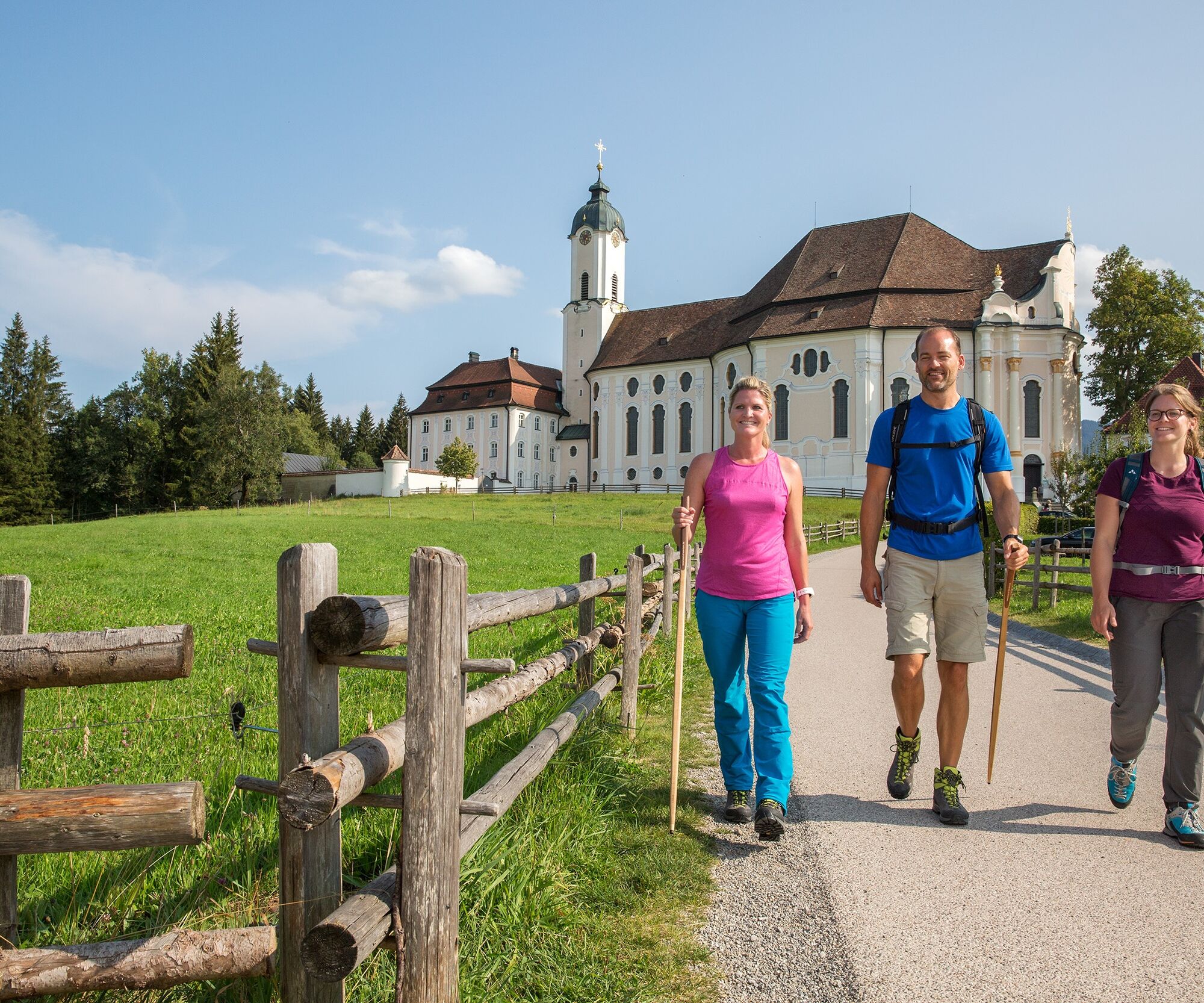

From the Wieskirche, the Ammergau Alps meditation path leads you over a field path to the Landvolkshochschule and the seminar center buildings, then turns left into the forest at a right-hand curve. You continue along the forest road by the Schwarzenbach, which you cross at the first opportunity.
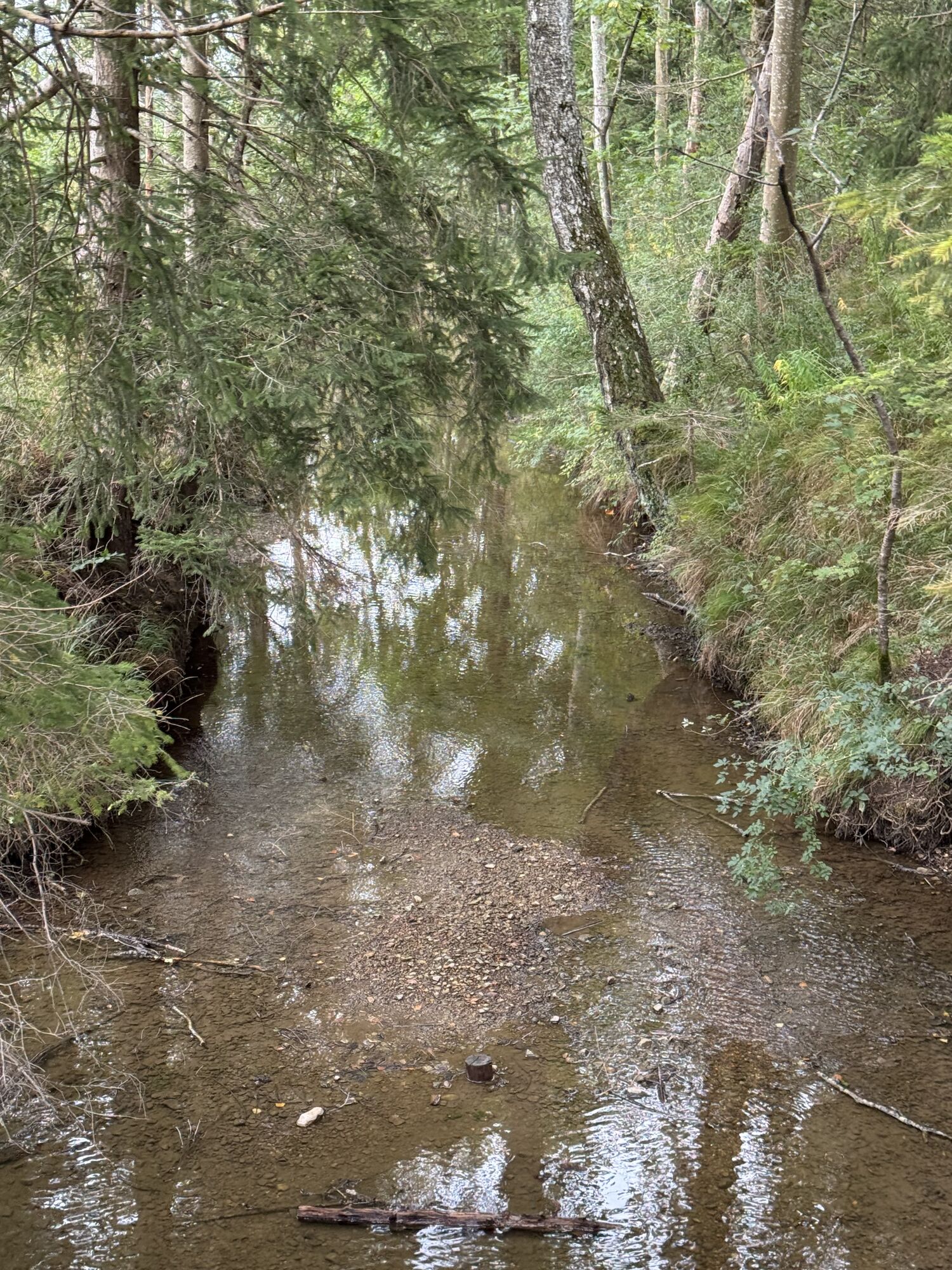
Here you go right towards the east. After a short climb at the junction, you hike right up into a small forest. After crossing a stream, there is a path that you first follow left for a short distance. Soon after, it goes right into the district of Holz.
The path continues to Wildsteig and over Kirchstraße into the center to Jakobskirche. From the church, a footpath leads down the hill on the left. You cross the Dorfbach and go up the street on the other side. At the fork at the top, you first keep left and then leave the town straight ahead.
An underpass takes you to the other side of the bypass road. Immediately after, orient yourself right and walk about 1 km to the left of the state road. About halfway through this stretch, a path leads left. You follow it to a small forest, behind which you turn right.
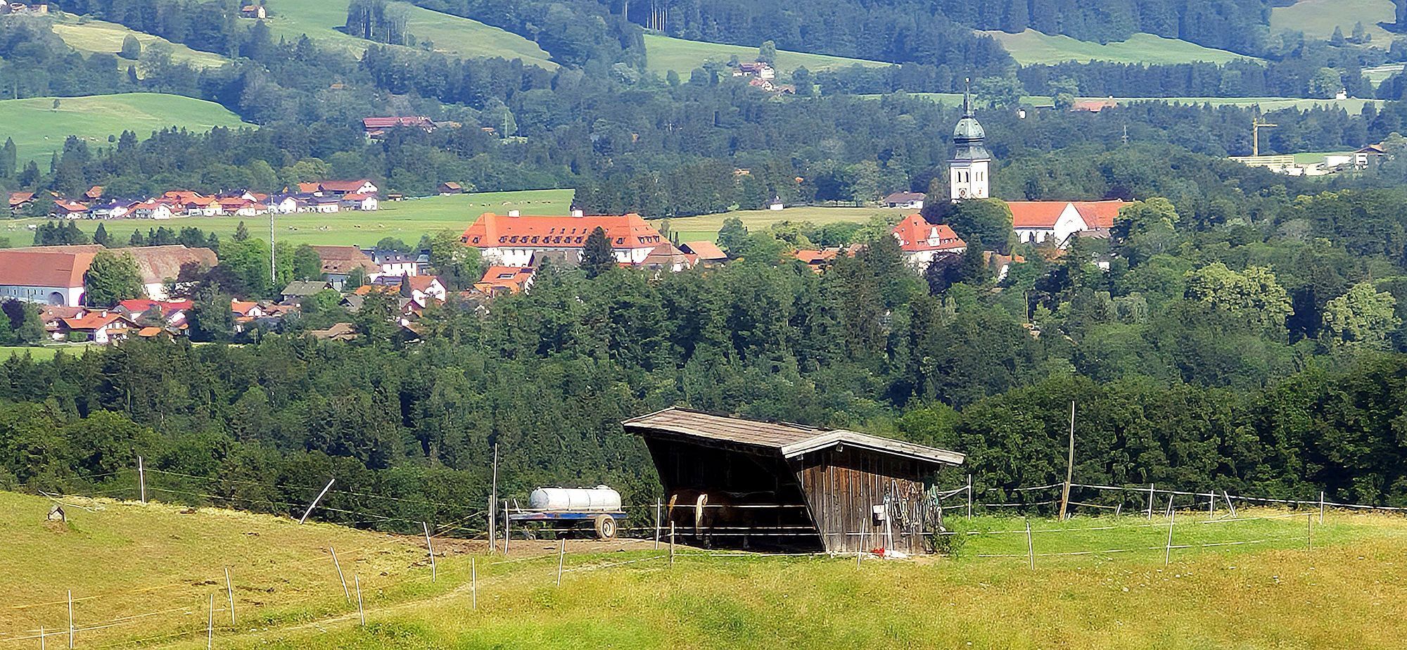
On a meadow path, you pass a farmstead located to the left of the path and take the left fork at the next fork. On the right, the first houses of Rottenbuch appear shortly after. You follow the street into the town and reach the federal road. You cross it on the pedestrian crossing and then continue left to the Rottenbuch Monastery.
From the Rottenbuch monastery complex, your path continues towards Ammermühle, over the Ammer River and further to Schönberg.
Passing the parish church, you cross the town on the main road, follow Südhang street and leave the town on Hörnleweg. From here, you enjoy a wonderful view of the mountain panorama with the Hörnle and the Ammer Mountains behind it. Then you walk about 40 m left along the state road and turn right into the meadow path at a small chapel. Slightly downhill, you now follow the signposts towards Bad Bayersoien.
At the next junction, orient yourself to the right and shortly before Lettigenbichl to the left. You follow the Achrundweg marking.
At the junction, keep right. You cross the little brook accompanying your path on the left at the next opportunity and then go left up a climb.
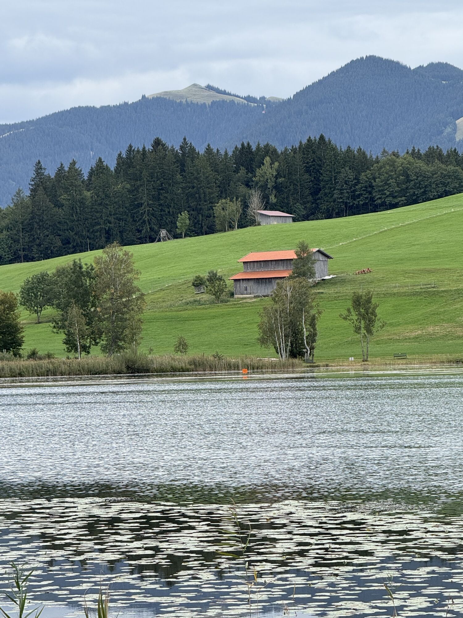
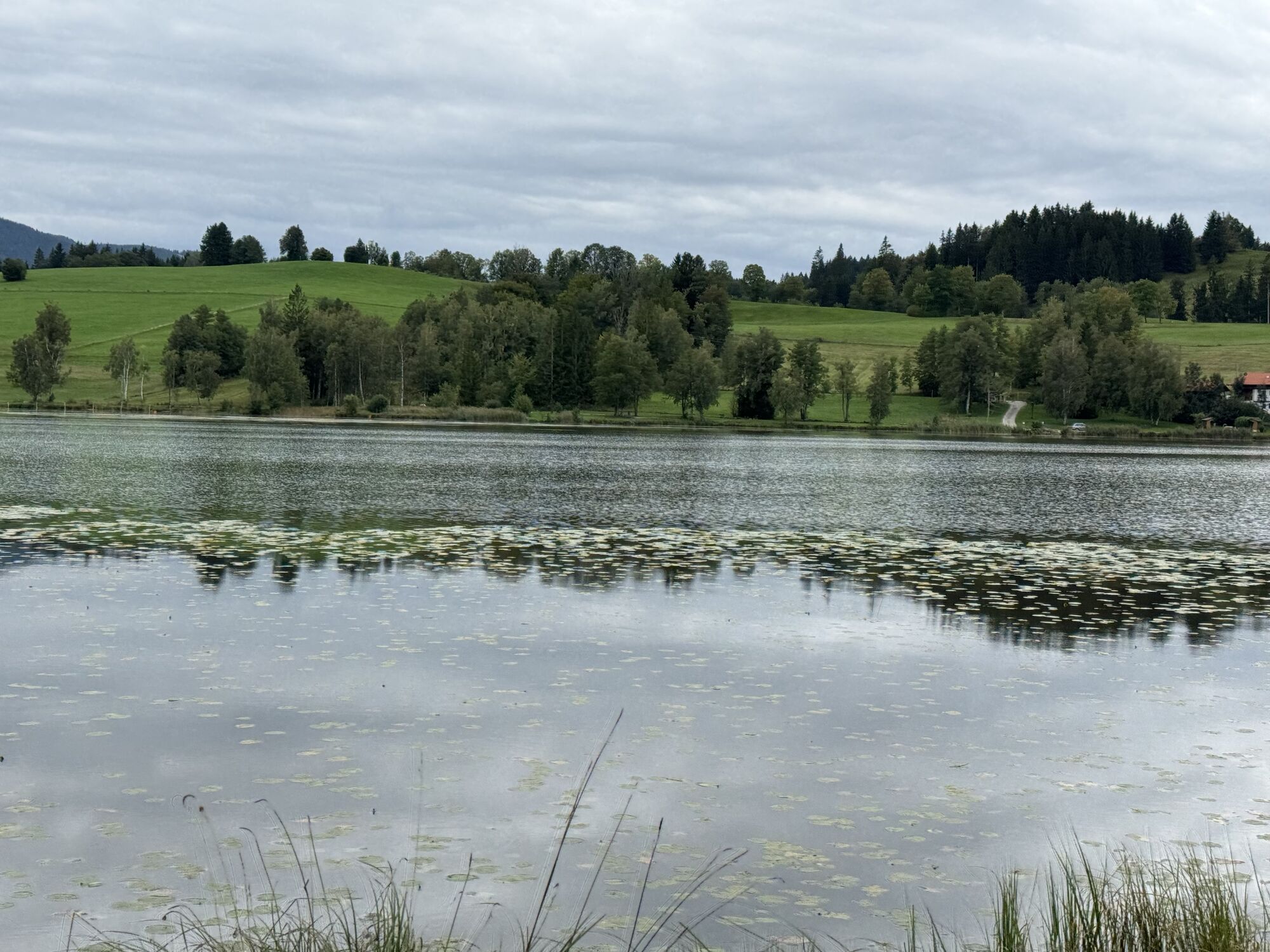
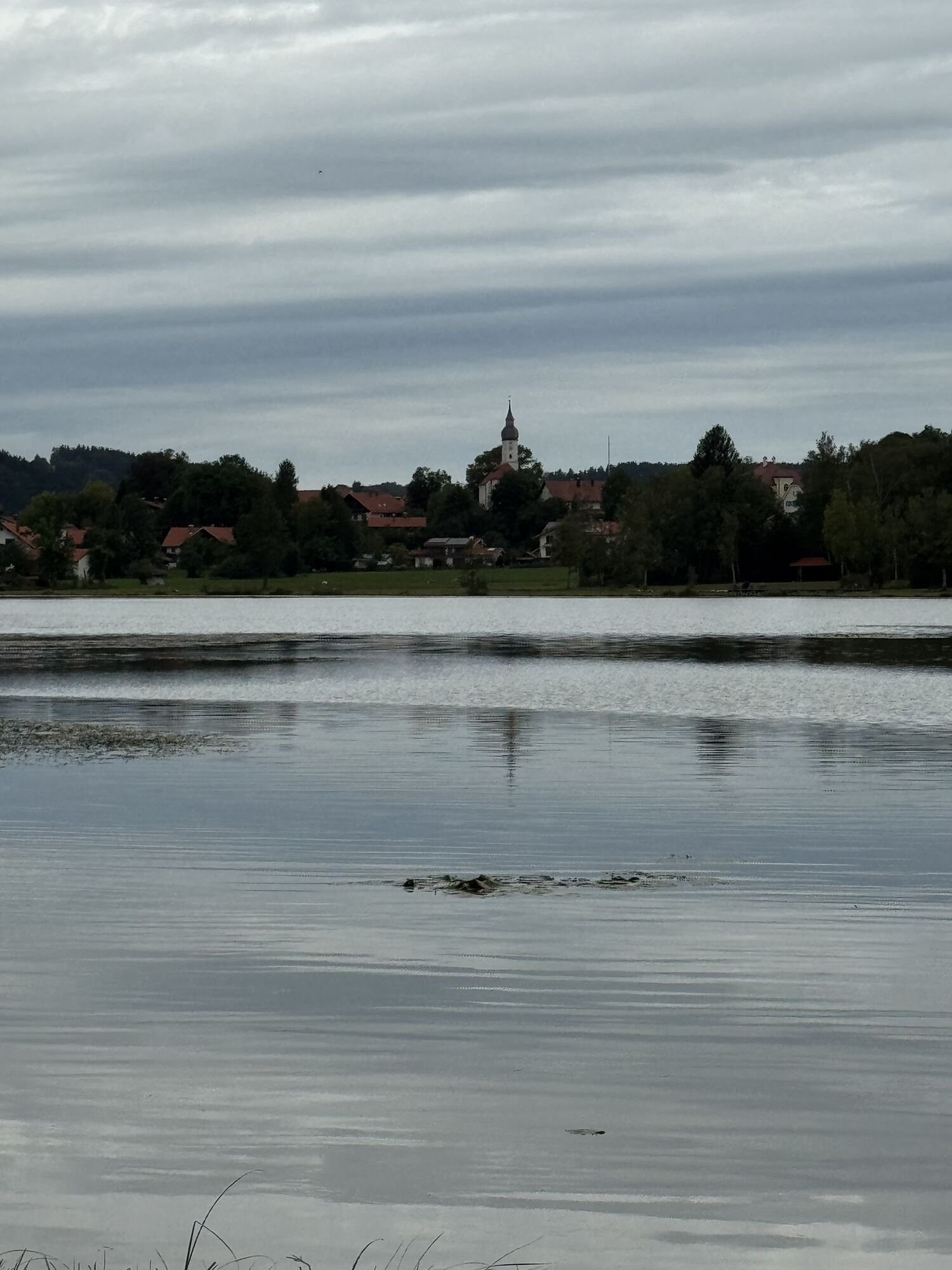
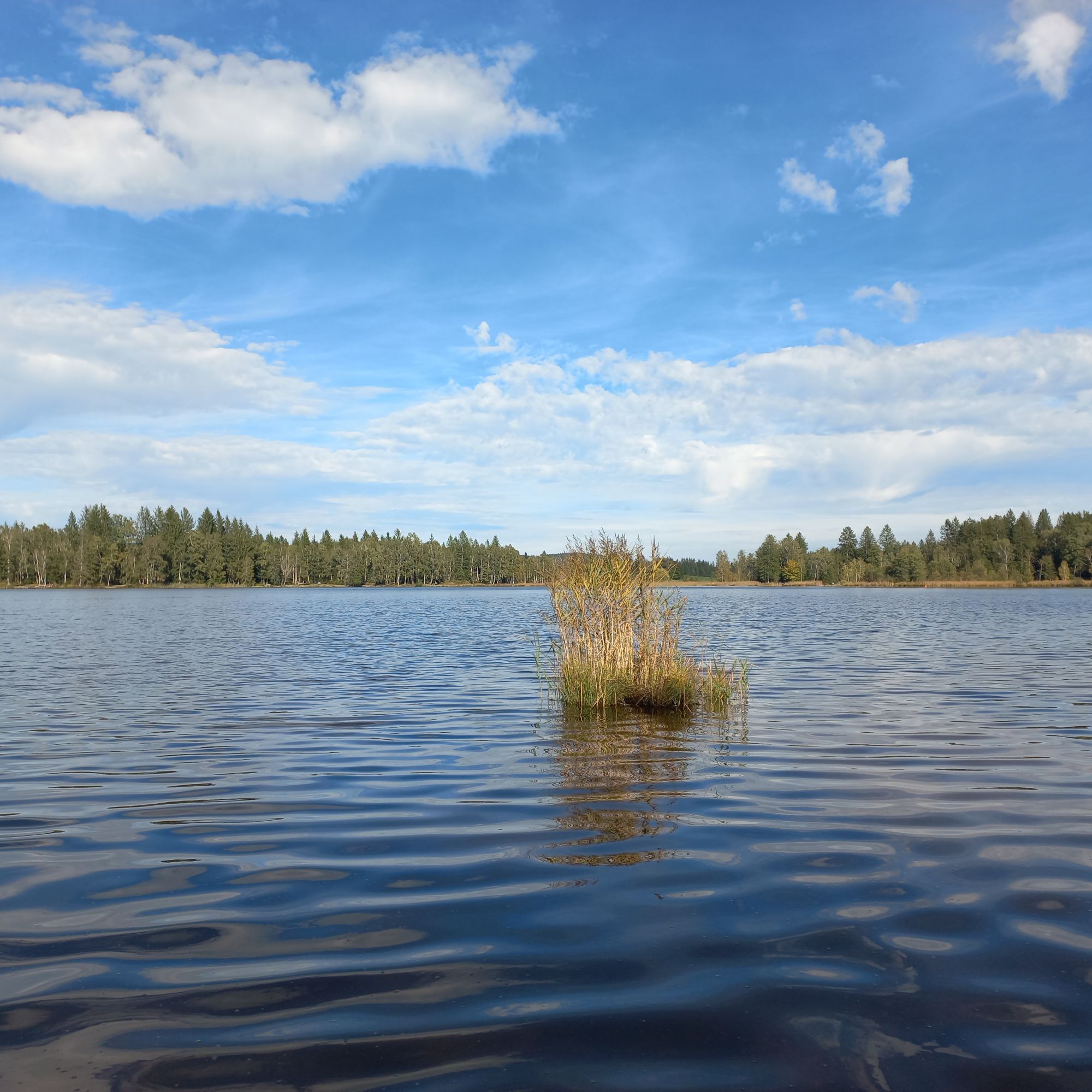
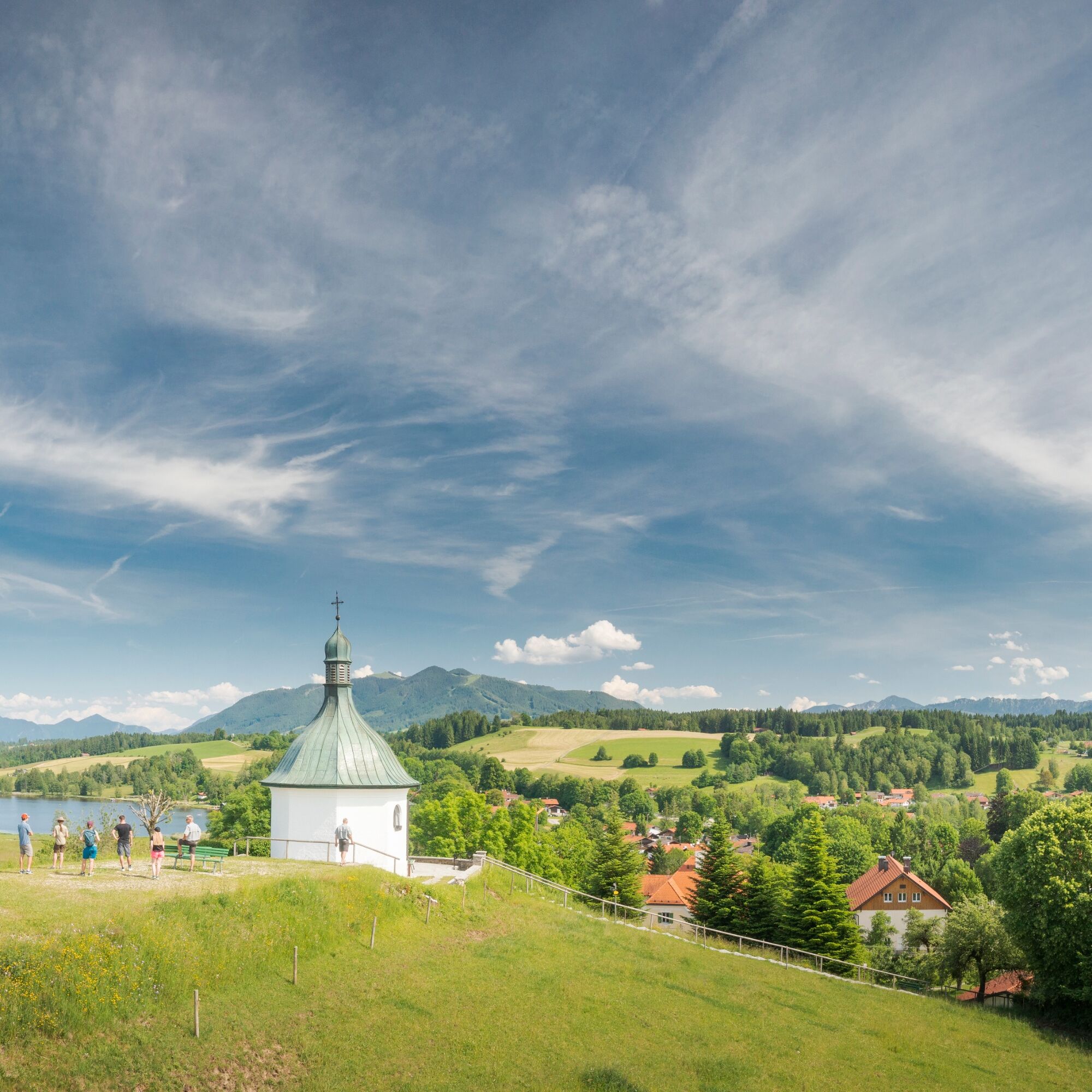
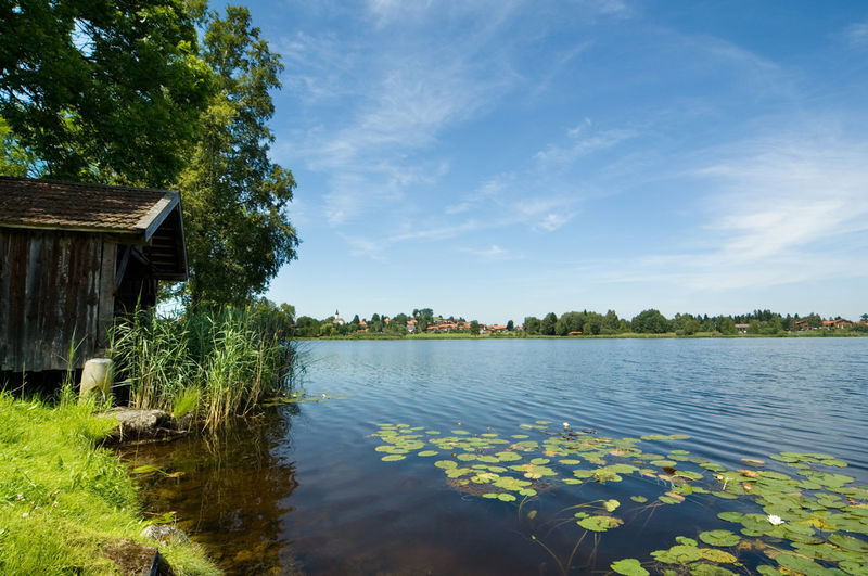
At the next junction, keep left on Schleifmühlweg and then immediately follow a footpath to the right, which takes you directly to the Kapellenberg of Bad Bayersoien. From the memorial chapel, you have a wonderful view of the entire village, the Soier Lake, and the Ammergau Alps. You descend again via stairs, go left at the bottom, and again turn left into Kirmesauer Straße. On the right side, a footpath leads directly to the lake on the lake circuit path.
Áno
Welcome to the Nature Park Teststubn! Here you can extensively test hiking poles, day backpacks, child carriers, and crampons from well-known manufacturers before deciding on a purchase. Let our team advise you to experience the best possible outdoor adventure. Our Nature Park Teststubn can be found at the tourist information centers in Bad Bayersoien and Bad Kohlgrub, and at the Drahtesel Rental Lukas Spindler in Oberammergau.
More information: www.ammergauer-alpen.de/teststubn
In emergency, please contact the nearest rescue control center. No matter where you are in Germany, you can reach it by dialling 112.
The Ammergau Alps Nature Park is conveniently accessible by train from Munich. In Murnau, you board the regional train (Ammertalbahn) and after a ride with fantastic views of the Alps, you reach the towns of Bad Kohlgrub, Saulgrub, Altenau, Unterammergau, and Oberammergau.
Bus stop: Wieskirche (2 minutes' walk to the starting point of the stage)
9606 Garmisch-Partenkirchen – Oberammergau – Wieskirche – Füssen
When you arrive, orient yourself towards the Wieskirche. The starting point of the stage is directly in front of the Wieskirche.
Guests of the Ammergau Alps region travel free of charge with the electronic guest card or the KönigsCard on buses and trains.
For multi-day parking, we recommend the following parking lots:
Oberammergau South parking lot/Festplatz Echelsbacher BridgeThe bus lines 9606 and 9622 stop at these parking lots.
Detailed information, guided routes, trail descriptions, accommodation, gastronomy, and transport options are available on the page www.ammergauer-alpen.de/meditationswege
If you come from Schönberg to Bad Bayersoien, then visit the war memorial chapel on the hillside. From there, you have a magnificent view of the lake, the village, and the Ammergau Alps.

Obľúbené výlety v okolí
-
4,1
Hut hike - Hörnle Hut
svetloTuristika 6,20 km -
4,6
Mountain route - Hörnle round
svetloTuristika 10,8 km -
3,7
Hörnle
strednáHorská turistika 9,23 km -
4,8
Hike - Small Staffelsee loop
svetloTuristika 5,43 km -
4,7
Piste ski tour - rear Hörnle
svetloSkitour 8,28 km -
4,3
Mountain route - Hinteres Hörnle from Grafenaschau
strednáTuristika 12,2 km -
5,0
Winter hike - Altherrenweg
svetloZimná turistika 9,49 km -
4,0
Peissenberg Rundtour
svetloTuristika 6,18 km -
4,0
Rund um das Ettaler Mandl
strednáCyklistika 44,1 km -
4,6
Bad Kohlgrub - Mittleres Hörnle - Hinteres Hörnle - Tannenbankerl-Schlepplift
strednáTuristika 8,94 km
Turistika a stopovanie


Nenechajte si ujsť ponuky a inšpiráciu na ďalšiu dovolenku
Vaša e-mailová adresa bol pridaný do poštového zoznamu.





