





Mountain bike route to the Kenzen hut in Halblech
Úroveň náročnosti: S1
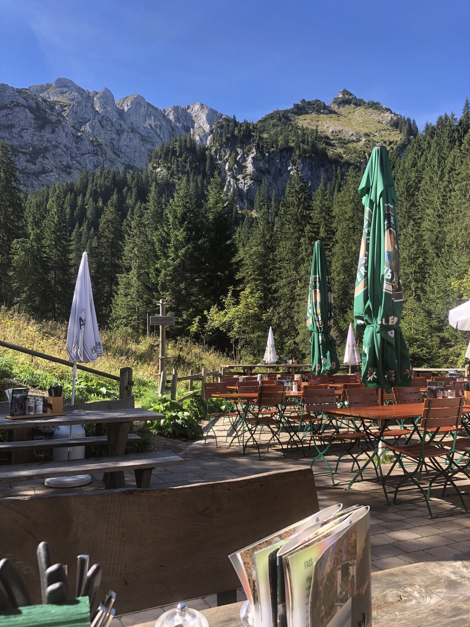
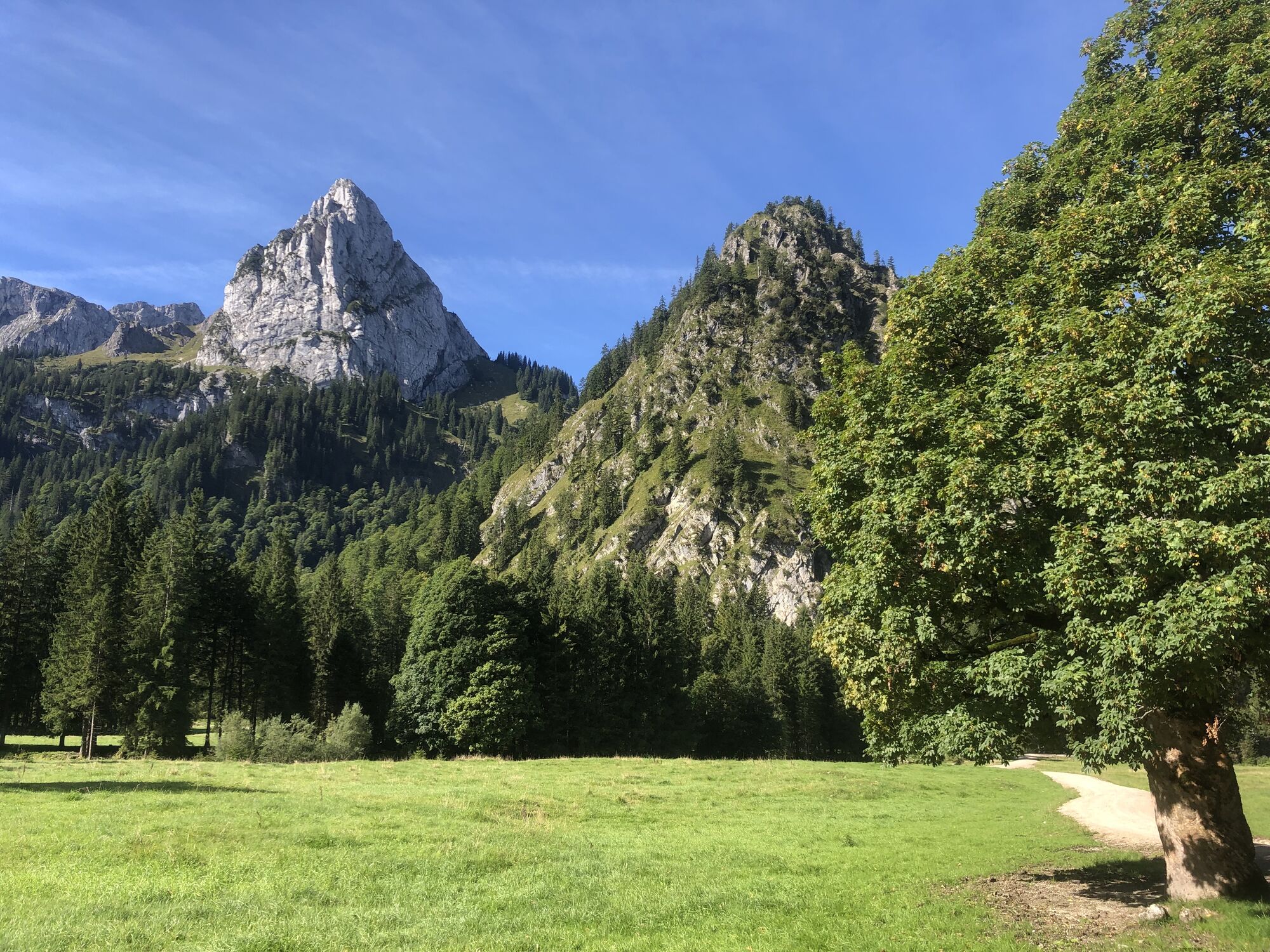
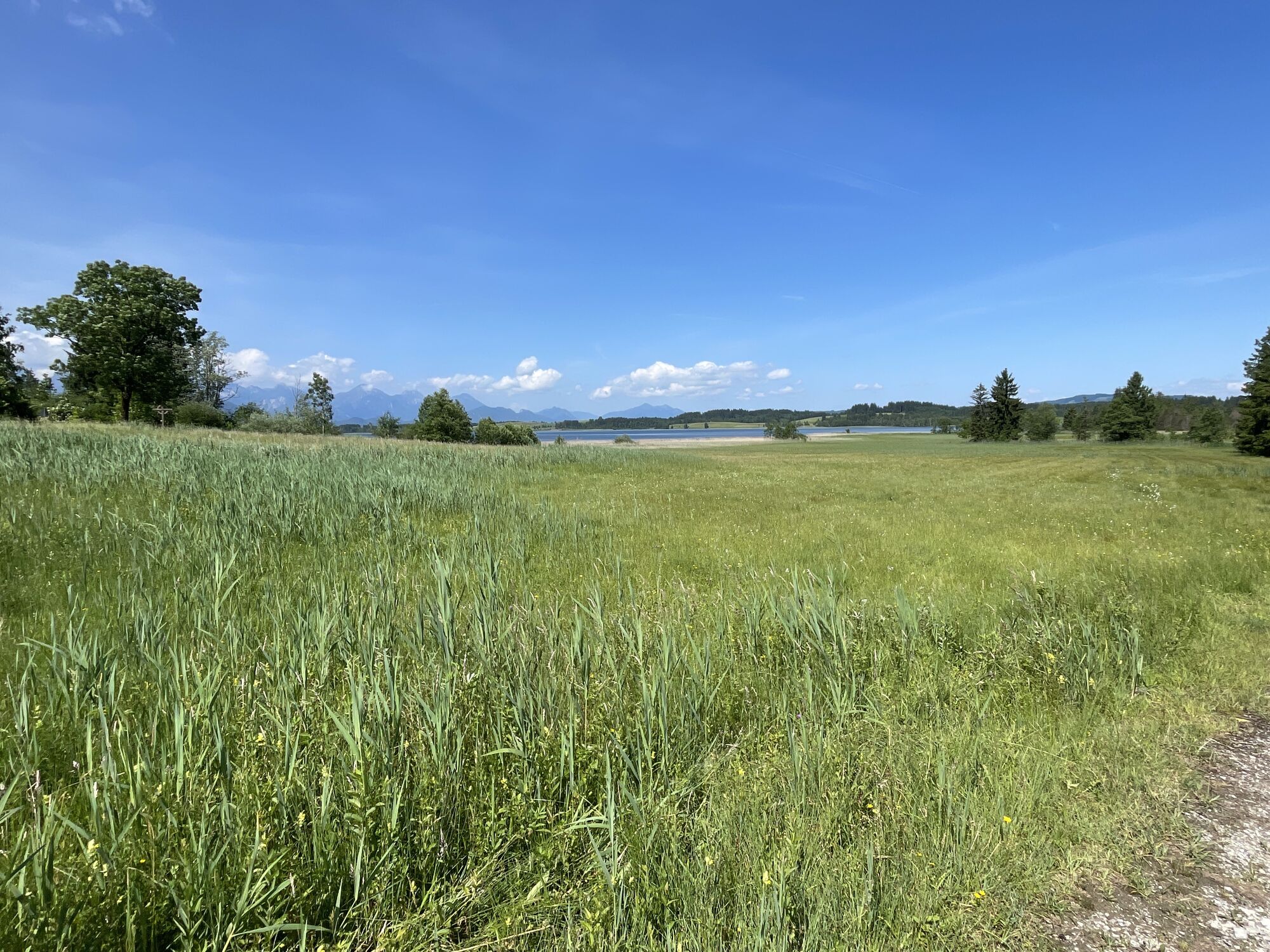
Exciting mountain bike route through the impressive scenery of the Ammergebirge nature reserve. Wonderful views and varied paths await you – a solid basic fitness level is recommended.

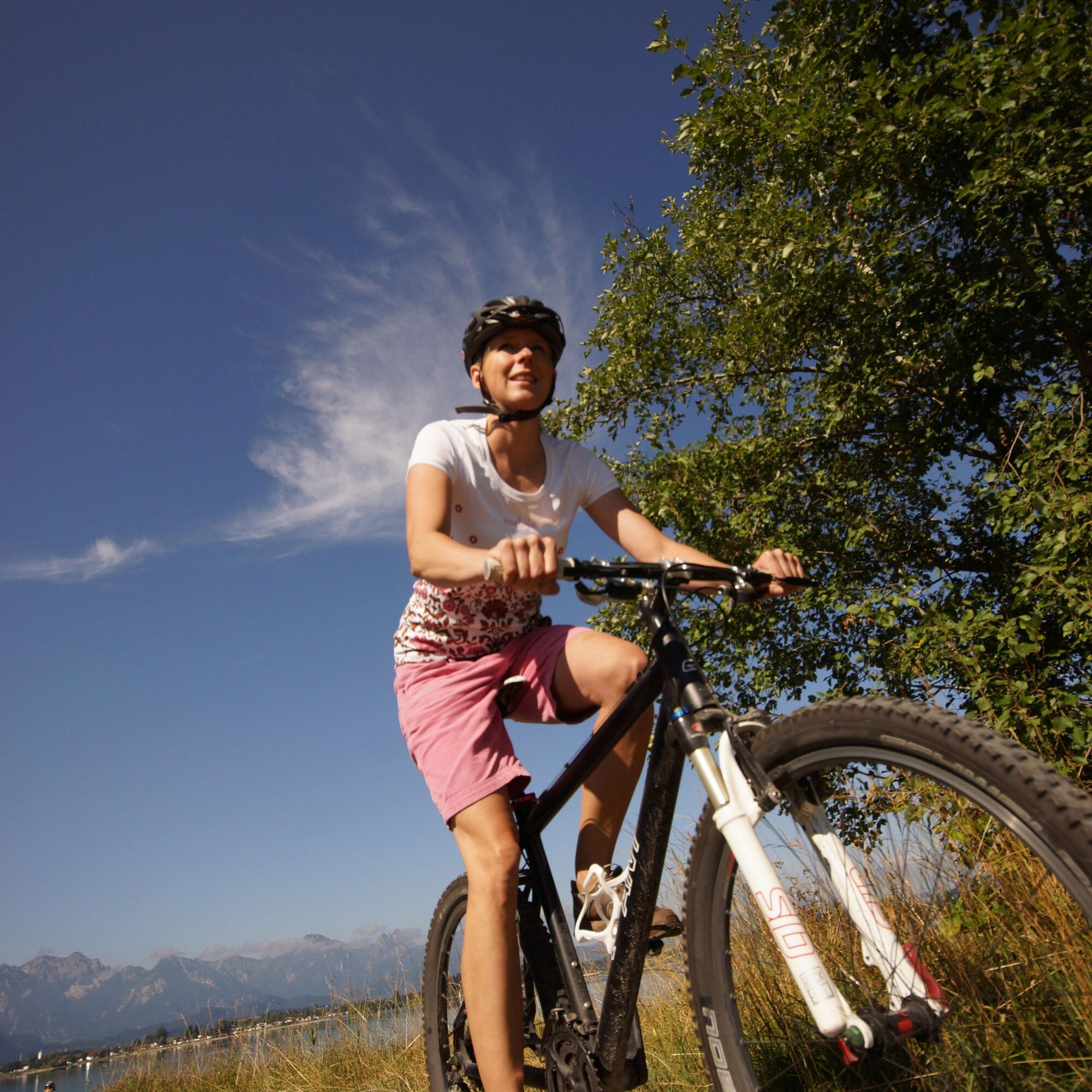
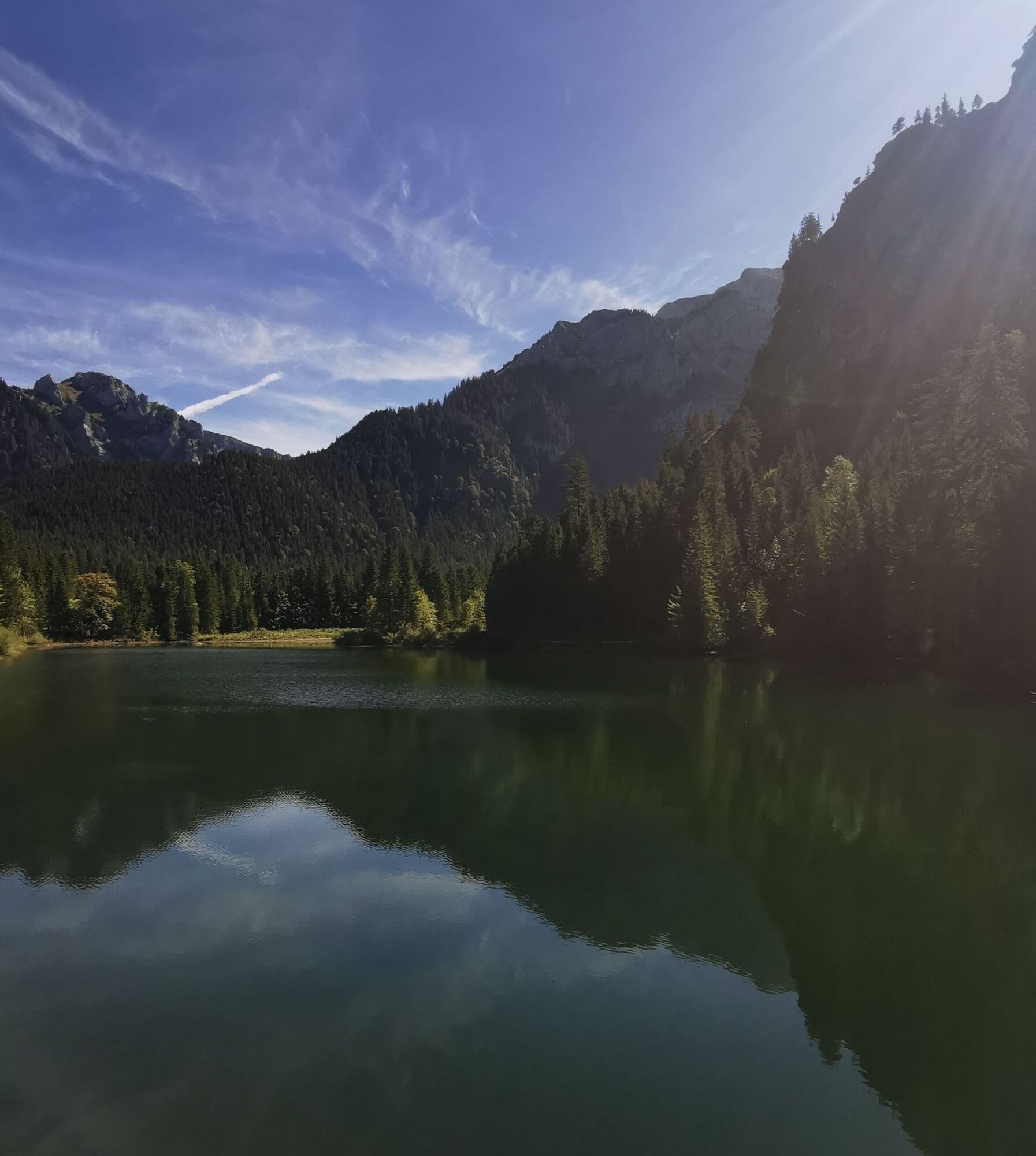

From the Bannwaldsee parking lot, along the lake to Buching, where you turn left at the tourist information. Cross the small bridge and take the road to the Kenzen parking lot in Halblech. Upstream, follow along the Halblech stream, passing the bridge over the Bärengraben and reaching a second near the Reiselsberg hut. Before that, turn right to the small reservoir of the Lobentalbach, which you follow. After the crossing at the Bockstallbach, continue along the Lobentalbach to the bridge that leads to the north bank. At the next bridge, cross the stream again and follow the signs to the Kenzen hut. After Geigersau and the Bockstall lake, the path splits: keep left and at the small chapel cross the Kenzenbach. Now it’s not far to the Kenzen hut, which will soon be reached on a somewhat wider path.
At the hut, first park your bike for an extensive snack and a refreshing drink. Those wishing to take a short detour can hike in about 10 minutes up to the Kenzen waterfall.
Return by rolling a bit on the same wide path and then on the right to the small chapel. On the wide forest road, you reach the Reiselsberg hut again and cycle back the known way to the Kenzen parking lot. From there back over Bannwaldsee to the starting point.
We recommend: bicycle helmet, weather-appropriate clothing, drinks, first aid kit and a repair kit.
Coming from the B17, drive to the Bannwaldsee parking lot, Münchener Str. 151, 87645 Schwangau
Train: Füssen station
Bus: stop "Schwangau - Bannwaldsee"
Bicycle transport is limited.
Free parking: Bannwaldsee parking lot, Münchener Str. 151, 87645 Schwangau

Webové kamery z prehliadky
-
Talstation
-
Tegelbergbahn Bergstation
-
Tegelberghaus
-
Talstation
-
Talstation
-
Talstation
-
Talstation
-
Tegelbergbahn Bergstation
-
Tegelbergbahn Bergstation
-
Tegelbergbahn Bergstation
-
Tegelbergbahn Bergstation
-
Talstation
-
Talstation
-
Tegelbergbahn Bergstation
-
Rieden am Forggensee - Salenberghof
-
Forggensee
-
Tegelbergbahn Bergstation
-
Schwangau - Blick auf den Tegelberg
-
Buching - Buchenbergbahn
-
Tegelberg Landeplatz
Získajte prehľad
Vždy naživo na mieste s viac ako 9 500 webovými kamerami. bergfex Ako používateľ Pro si teraz môžete pozrieť príslušné webové kamery pre mnohé zájazdy v aplikácii zájazdy z. Môžete si tak priamo prezerať aktuálne podmienky.
Obľúbené výlety v okolí
-
4,8
Around Weißensee
svetloTuristika 6,12 km -
4,5
Mountain route - Teufelstättkopf
strednáTuristika 10,8 km -
4,1
Drehhütte
svetloTuristika 3,34 km -
4,7
Yellow Wall Trail, Tegelberg (A)
strednáVia ferrata 3,65 km -
4,5
Circular hike Dreh- and Rohrkopfhütte
svetloTuristika 8,76 km -
4,9
Tegelberg | Branderschrofen | Neuschwanstein
strednáTuristika 14,8 km -
4,2
Cultural trail Schutzengelweg
strednáTuristika 5,13 km -
4,5
Schönjöchl am Plansee
strednáTuristika 7,21 km -
4,4
Schloß Neuschwanstein und Schwanensee Schwangau, Bayern
strednáTuristika 9 km -
4,6
Hochplatte
strednáTuristika 10,4 km

Turistika a stopovanie


Nenechajte si ujsť ponuky a inšpiráciu na ďalšiu dovolenku
Vaša e-mailová adresa bol pridaný do poštového zoznamu.





