







Jungholz village circuit
Úroveň náročnosti: 2
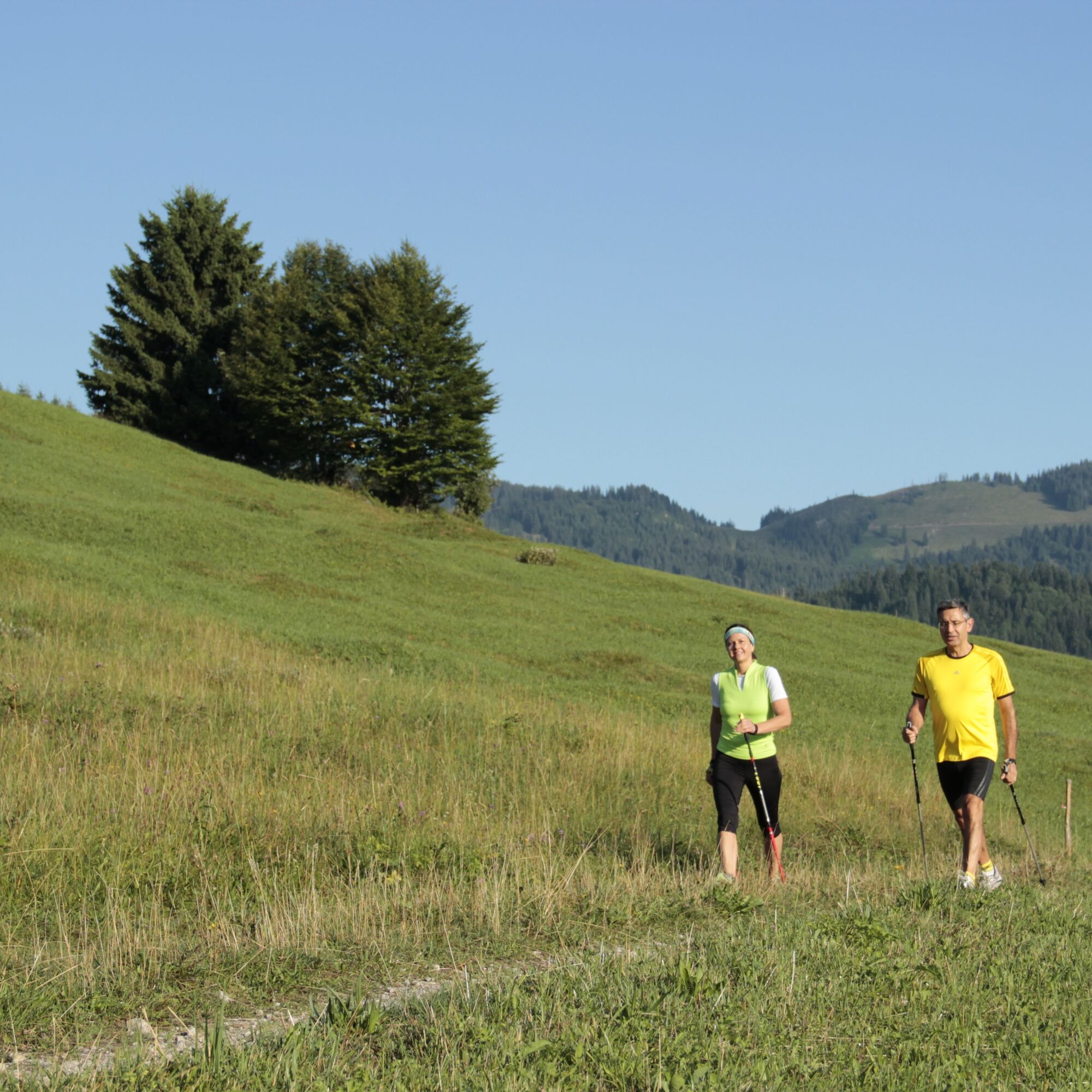
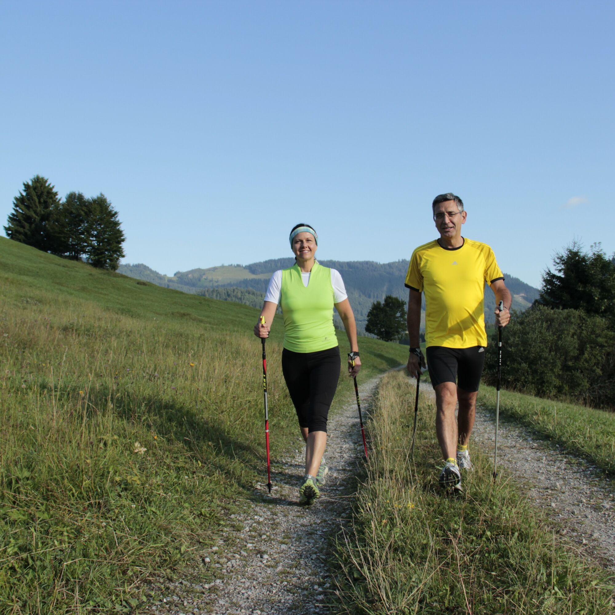
Experience the Running and Nordic Walking Arena Tannheimer Tal
Whether breathless beginner or well-trained mountain athlete: In the Tannheimer Tal, everyone gets their money’s worth who wants to be active...
Whether breathless beginner or well-trained mountain athlete: In the Tannheimer Tal, everyone gets their money’s worth who wants to be active in the fresh air and explore the surrounding mountains on foot. Every day, all active people, from hobby athletes to professionals, face a tough choice: the largest network of trails in Tyrol offers 26 marked routes, covering a total of 186 kilometers. There are beginner loops as well as challenging mountain runs. And so that all guests know which path matches their fitness and requirements, a specially designed map and small signs provide information on elevation profile, difficulty level, and length of the route – the Running and Nordic Walking map.
Along meadows, over green alpine pastures, next to sparkling mountain lakes... Walking and running in the Tannheimer Tal is not only the best training for the body but also balm for the soul. The starting points for all movement enthusiasts are located in the six villages of Tannheim, Grän-Haldensee, Nesselwängle-Haller, Zöblen, Schattwald and Jungholz. From here, walkers, Nordic walkers, and runners follow the signposts, which are easy to recognize: little figures with poles. Additionally, all trails, as well as ski slopes, are classified in black, red, and blue categories. An optimal marking system that, among other things, contributed to this probably most beautiful high valley in Europe officially calling itself a ’running and walking competence center’ since 2005.

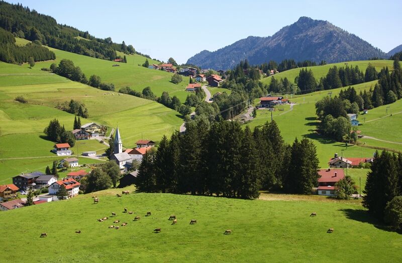
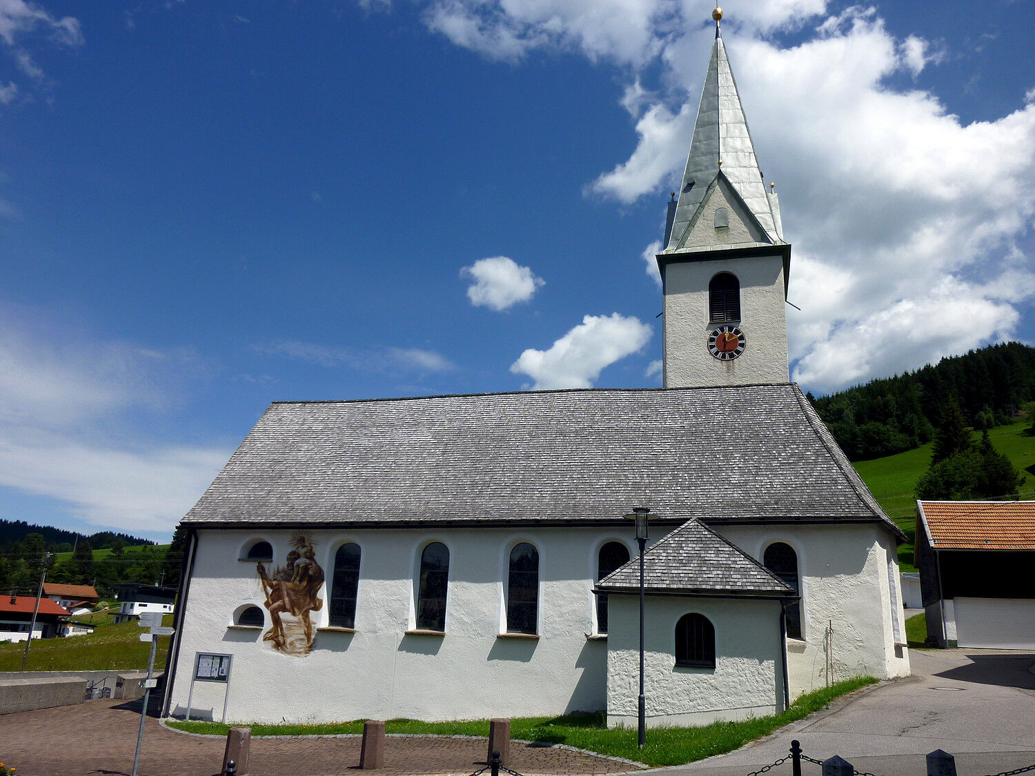
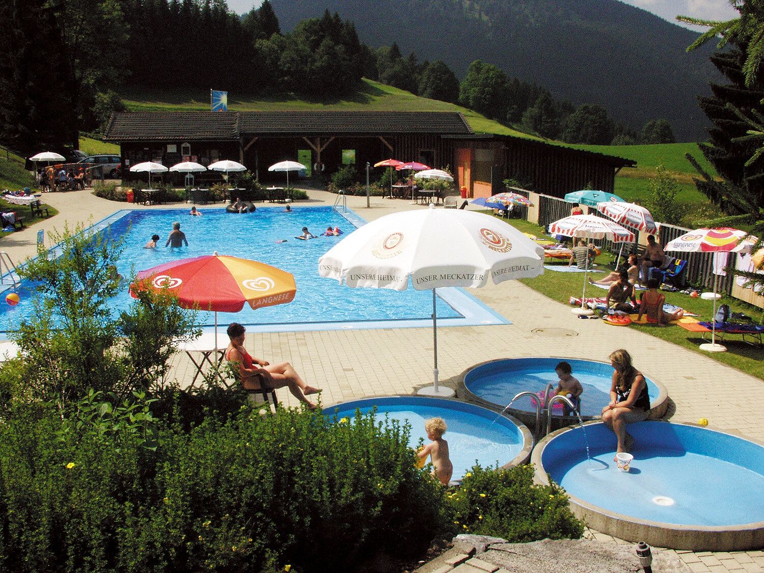

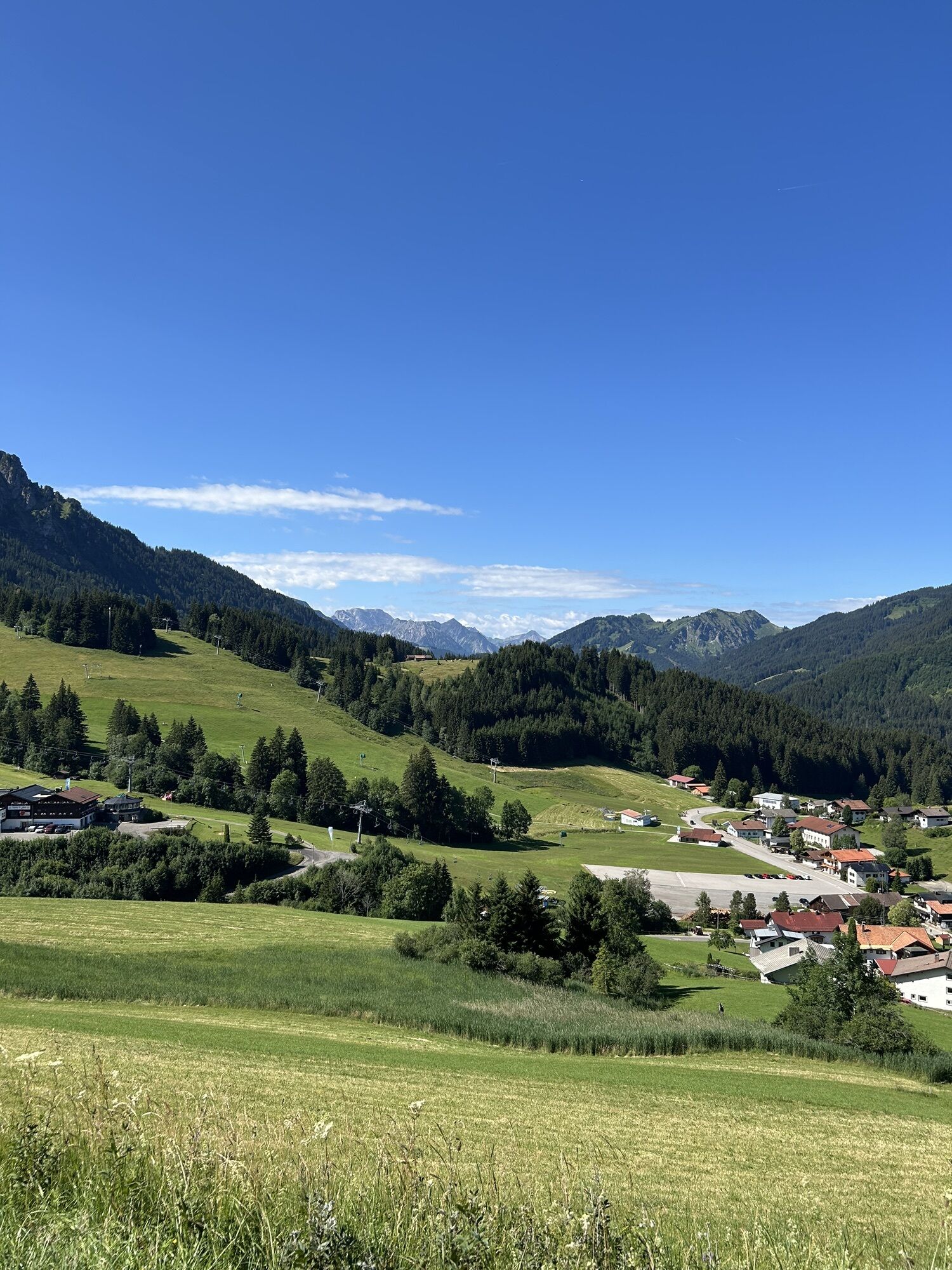
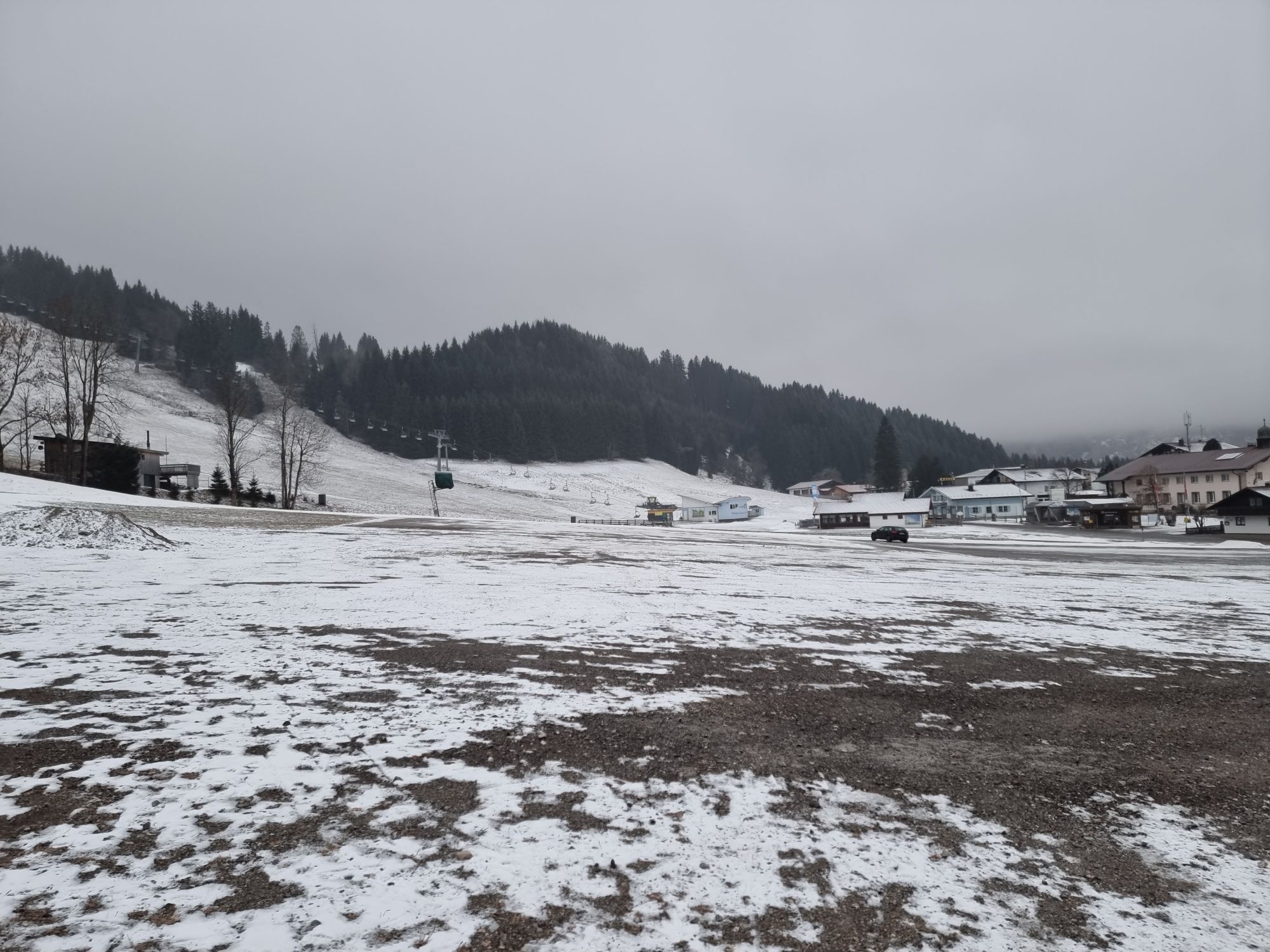
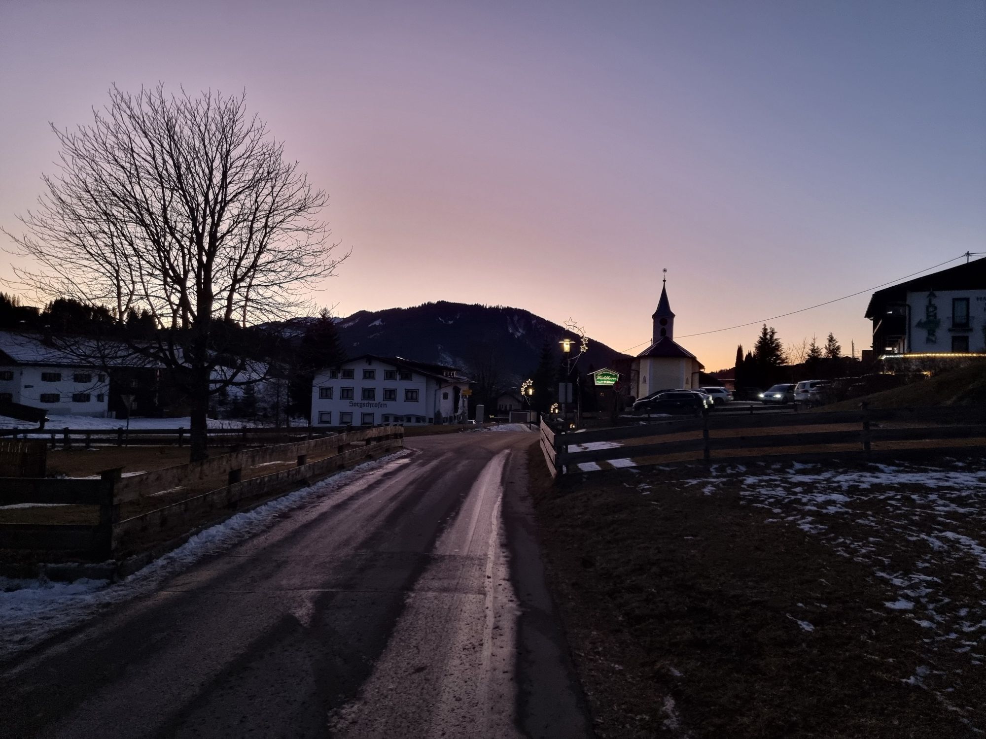
Head south and turn left after the last house onto the circular route to Pfeiffermühle. Cross the street and continue on the circular route through the forest to the campsite. Follow the street to the first junction, turn left there to Felenbad and continue along the street. At the next junction turn left into the Giessenschwand district. On the panorama trail, past the Moorweiher pond and the Kneipp facility to the chapel. Cross the road and follow Schnitzerweg to the music pavilion. Turn left and return to the starting point.
Áno
Personal equipment must be safe and functional and meet the respective technical standard. Everyone is advised to inform themselves about the planned routes in specialist literature or on site. Complete equipment is highly recommended even for experienced users!
It should be noted that there is a risk of accidents and injuries in running and walking sports. Despite careful route planning, a basic risk always remains. Preparation through endurance training, appropriate technical training and further education, as well as personal caution, reduces the risk of accidents and hazards.
On the A7 motorway at the Oy-Mittelberg exit, take the B310 towards Wertach and continue to Jungholz. From the Tyrolean side, via Reutte on the B198 towards Lechtal to Weißenbach, over the Gaicht Pass along the B199 to Oberjoch and then on to Jungholz.
Take the train to Sonthofen, Pfronten/Ried or Reutte, then continue by bus to the Tannheimer Tal and via Oberjoch to Jungholz.
Lift parking lot in Jungholz
2
There are several places to eat in Jungholz.
Získajte prehľad
Vždy naživo na mieste s viac ako 9 500 webovými kamerami. bergfex Ako používateľ Pro si teraz môžete pozrieť príslušné webové kamery pre mnohé zájazdy v aplikácii zájazdy z. Môžete si tak priamo prezerať aktuálne podmienky.

Obľúbené výlety v okolí
-
5,0
Hiking tour to Breitenberg
ťažkéTuristika 15,6 km -
4,9
Gemeinde Grän, Tirol/Österreich Aggenstein Rundtour über Höhenweg
strednáTuristika 9,84 km -
4,8
To the Bad Kissinger Hut via the Gräner Höhenweg
strednáTuristika 13,0 km -
3,9
Klassikertour: Auf den Grünten
ťažkéTuristika 8,50 km -
4,7
Panorama route to the Ostlerhütte
strednáTuristika 5,11 km -
4,8
Iseler und Kühgundkopf
strednáTuristika 7,63 km -
4,7
3-Gipfel-Tour
strednáTuristika 11,2 km -
4,6
Mountain hike to the Aggenstein
ťažkéTuristika 15,3 km -
4,8
Bad Hindelang, Hinterstein, Deutschland
strednáTuristika 14,1 km -
4,4
Wanderung auf den grünten
strednáTuristika 8,31 km
Turistika a stopovanie


Nenechajte si ujsť ponuky a inšpiráciu na ďalšiu dovolenku
Vaša e-mailová adresa bol pridaný do poštového zoznamu.





