


To the Bad Kissinger Hut via the Gräner Höhenweg
Fotografie našich používateľov
-
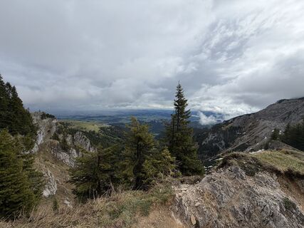
 © Thijs HoubenVytvorené dňa 07.05.2026
 -
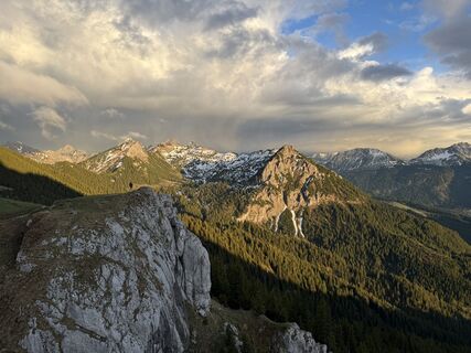 © Thijs HoubenVytvorené dňa 06.05.2026
 -
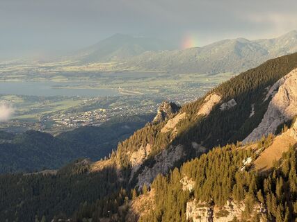 © Thijs HoubenVytvorené dňa 06.05.2026
 -
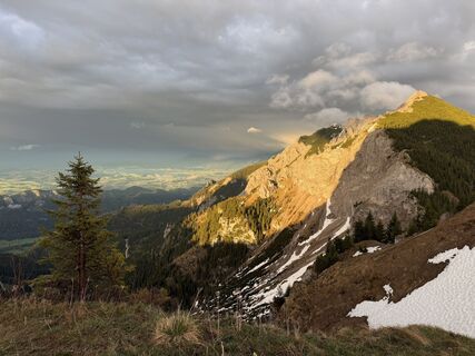
 © Thijs HoubenVytvorené dňa 06.05.2026
 -
 © Thijs HoubenVytvorené dňa 06.05.2026
 -
 © Thijs HoubenVytvorené dňa 06.05.2026
 -
 © Thijs HoubenVytvorené dňa 06.05.2026
 -
 © Thijs HoubenVytvorené dňa 06.05.2026
 -
 © Thijs HoubenVytvorené dňa 06.05.2026
 -
 © Thijs HoubenVytvorené dňa 06.05.2026
 -
 © Thijs HoubenVytvorené dňa 06.05.2026
 -
 © Thijs HoubenVytvorené dňa 06.05.2026
 -
 © Thijs HoubenVytvorené dňa 06.05.2026
 -
 © Kevin EggsVytvorené dňa 25.04.2026
 -
 © Kevin EggsVytvorené dňa 25.04.2026
 -
 © Kevin EggsVytvorené dňa 25.04.2026
 -

 © Chriz LudwigVytvorené dňa 22.04.2026
 -
 © Chriz LudwigVytvorené dňa 22.04.2026
 -
 © Chriz LudwigVytvorené dňa 22.04.2026
 -
 © Chriz LudwigVytvorené dňa 22.04.2026
 -
 © Chriz LudwigVytvorené dňa 22.04.2026
 -
 © Ralf TheuneVytvorené dňa 18.04.2026
 -
 © Ralf TheuneVytvorené dňa 18.04.2026
 -
 © Ralf TheuneVytvorené dňa 18.04.2026
 -
 © Ralf TheuneVytvorené dňa 18.04.2026
 -
 © Frank WilkeVytvorené dňa 29.12.2025
 -
 © Frank WilkeVytvorené dňa 29.12.2025
 -
 © Frank WilkeVytvorené dňa 29.12.2025
 -
 © Erhard JaudVytvorené dňa 26.12.2025
 -
 © Erhard JaudVytvorené dňa 26.12.2025
 -

 © Christof RohrmoserVytvorené dňa 28.11.2025
 -
 © Christof RohrmoserVytvorené dňa 28.11.2025
 -
 © Christof RohrmoserVytvorené dňa 28.11.2025
 -
 © Christof RohrmoserVytvorené dňa 28.11.2025
 -
 © Christof RohrmoserVytvorené dňa 28.11.2025
 -
 © Christof RohrmoserVytvorené dňa 28.11.2025
 -
 © Christof RohrmoserVytvorené dňa 28.11.2025
 -
 © Thomas EderleVytvorené dňa 03.10.2025
 -
 © Tobias RudolphVytvorené dňa 24.08.2025
 -
 © Tobias RudolphVytvorené dňa 24.08.2025
 -
 © Tobias RudolphVytvorené dňa 24.08.2025
 -
 © Tobias RudolphVytvorené dňa 24.08.2025
 -
 © Tobias RudolphVytvorené dňa 24.08.2025
 -
 © Thomas EderleVytvorené dňa 09.08.2025
 -
 © Thomas EderleVytvorené dňa 09.08.2025
 -
 © Monika121Vytvorené dňa 22.07.2025
 -
 © Michael Schmitz 7Vytvorené dňa 19.07.2025
 -
 © Hans Werner BallVytvorené dňa 27.06.2025
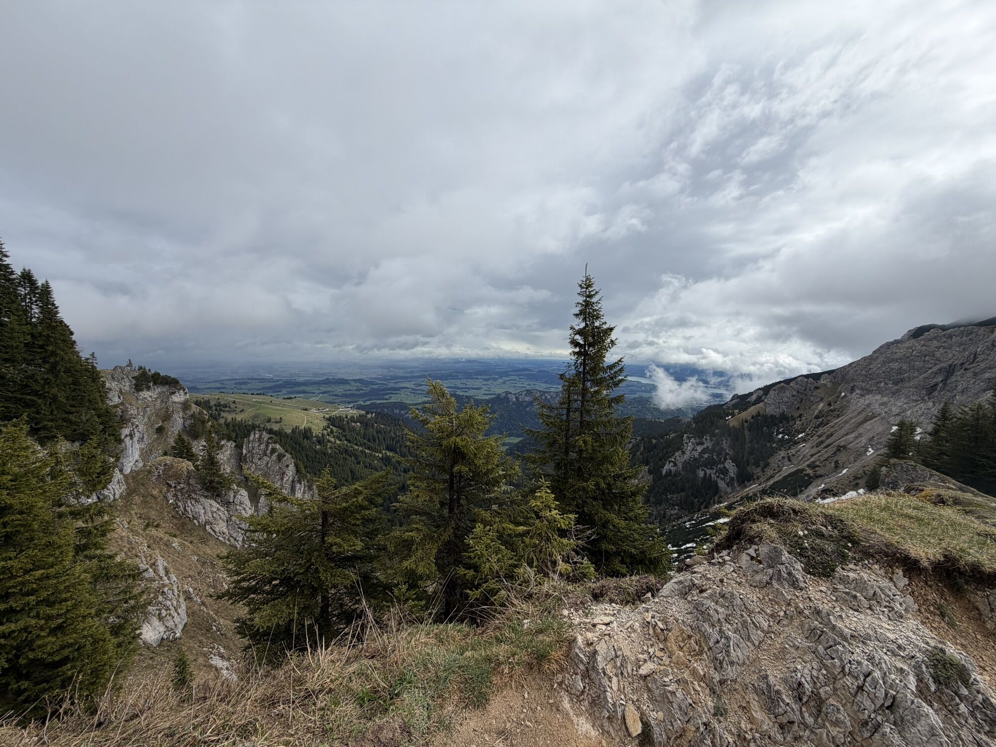
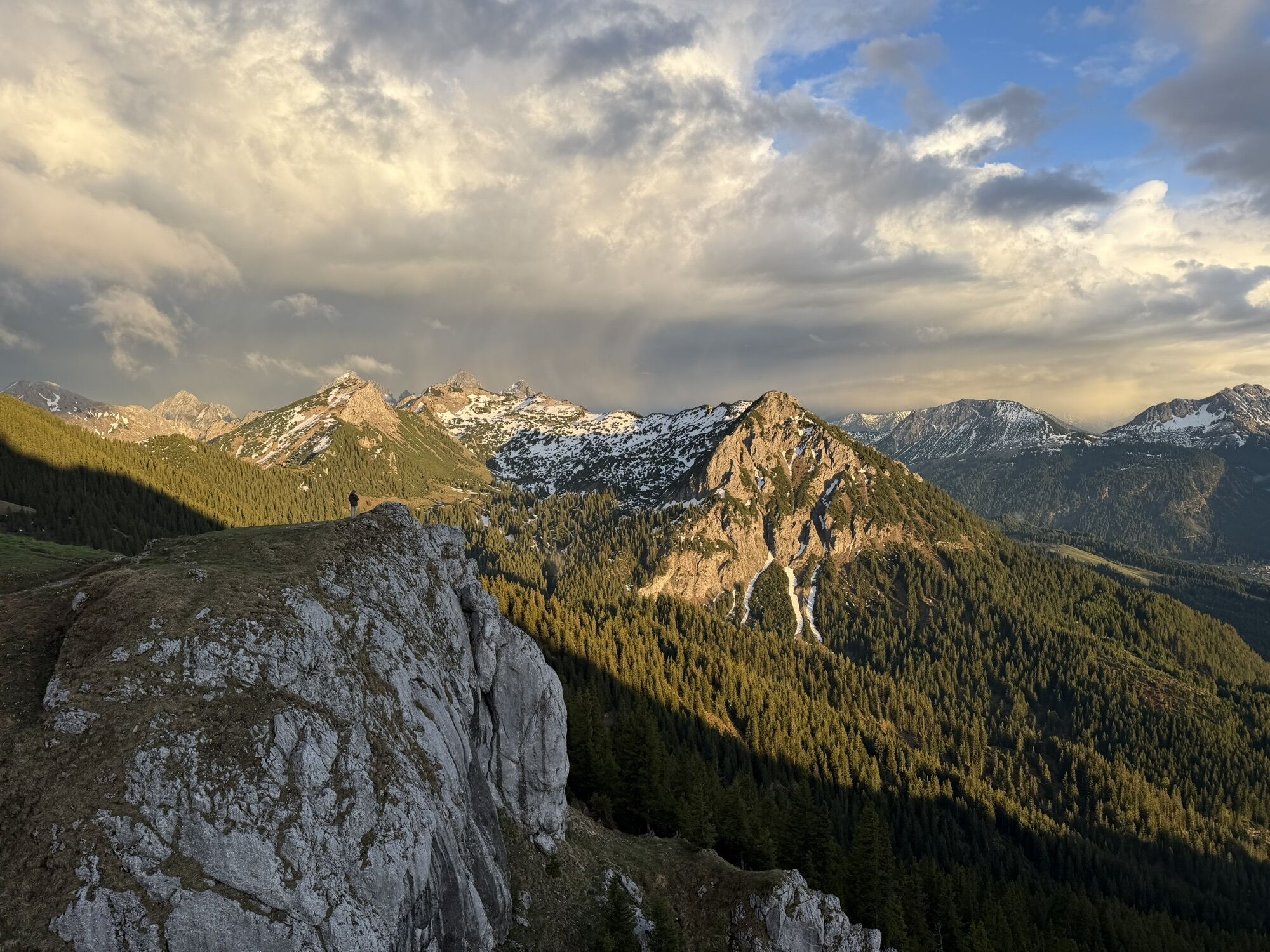
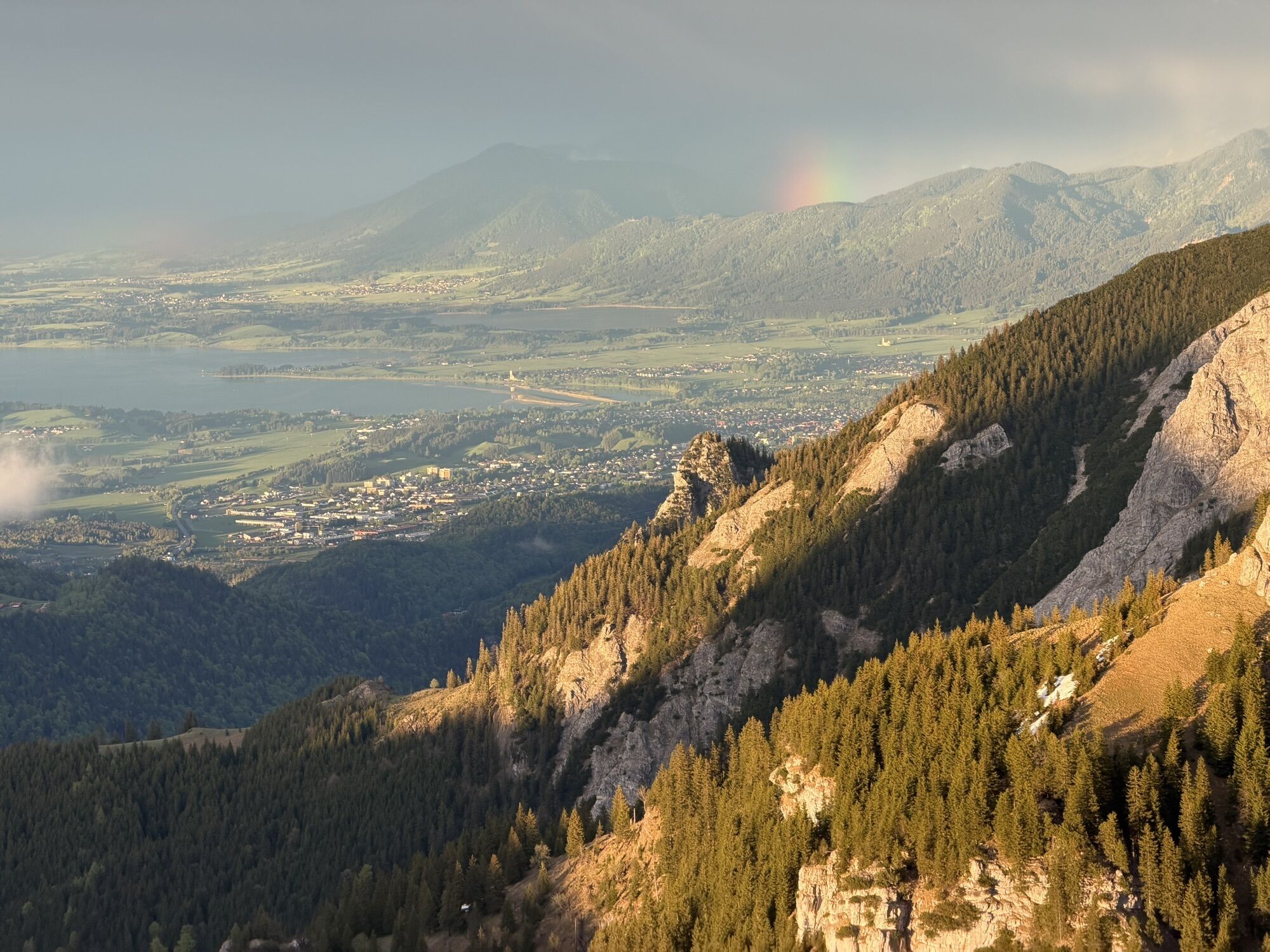
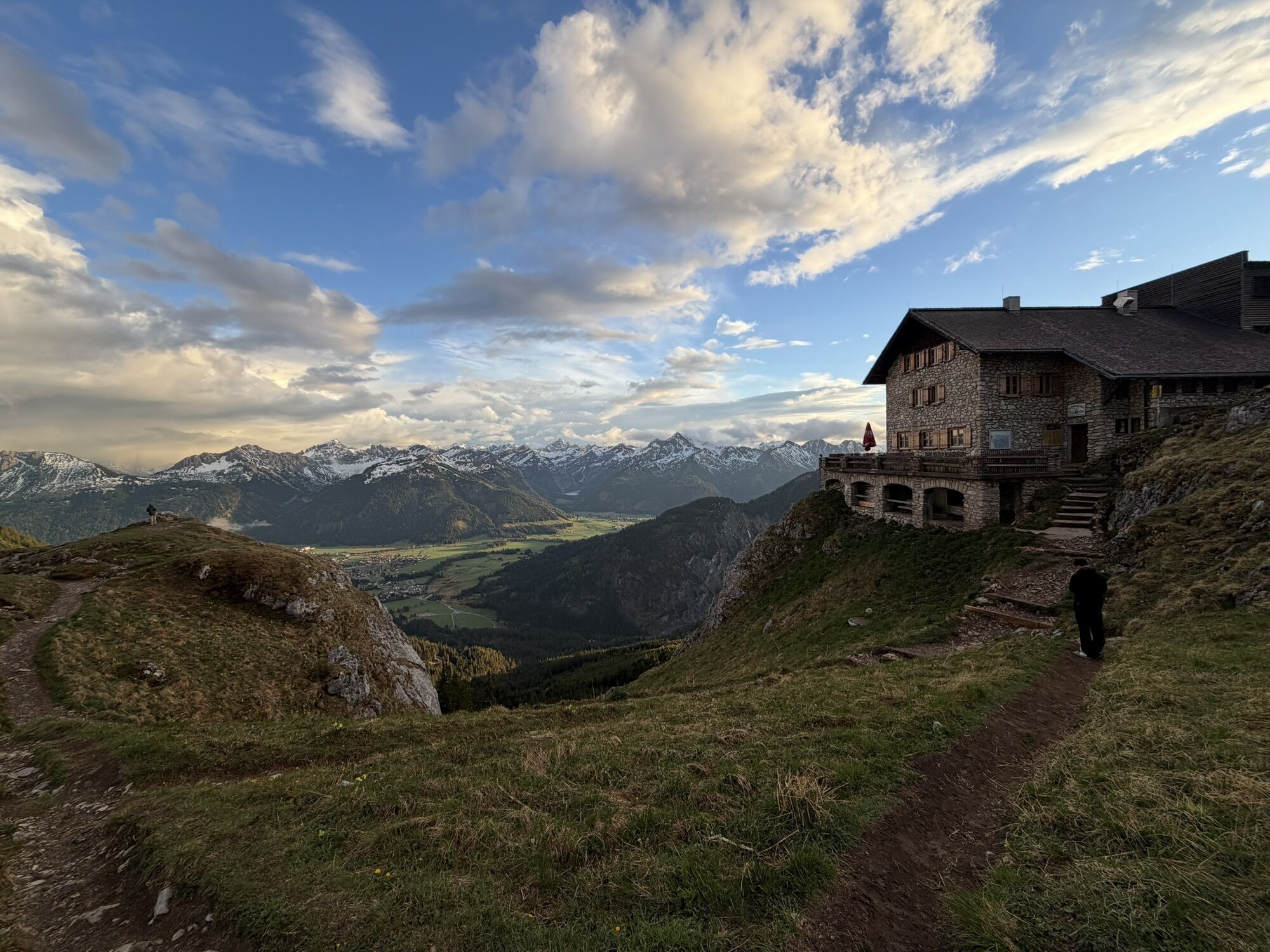
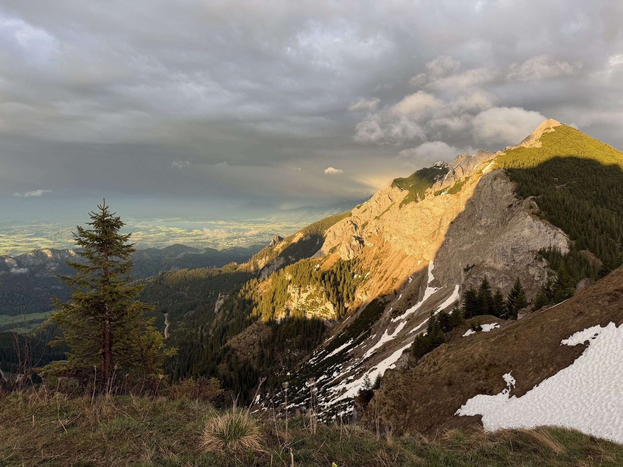


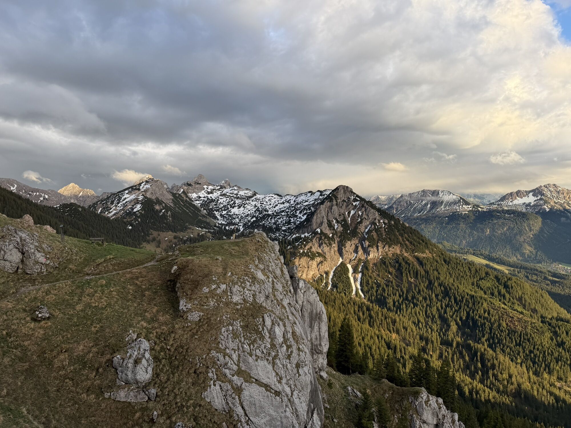
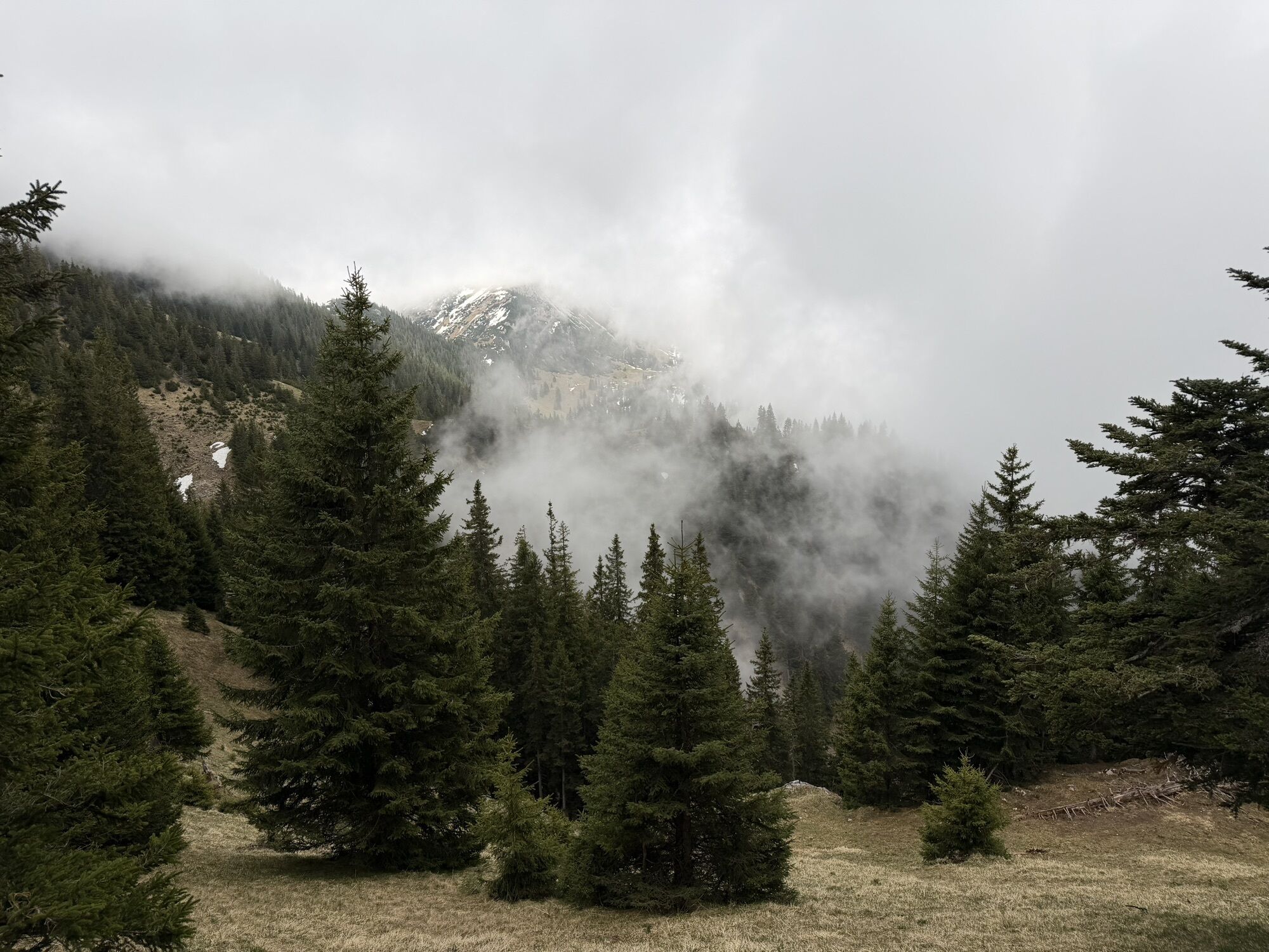

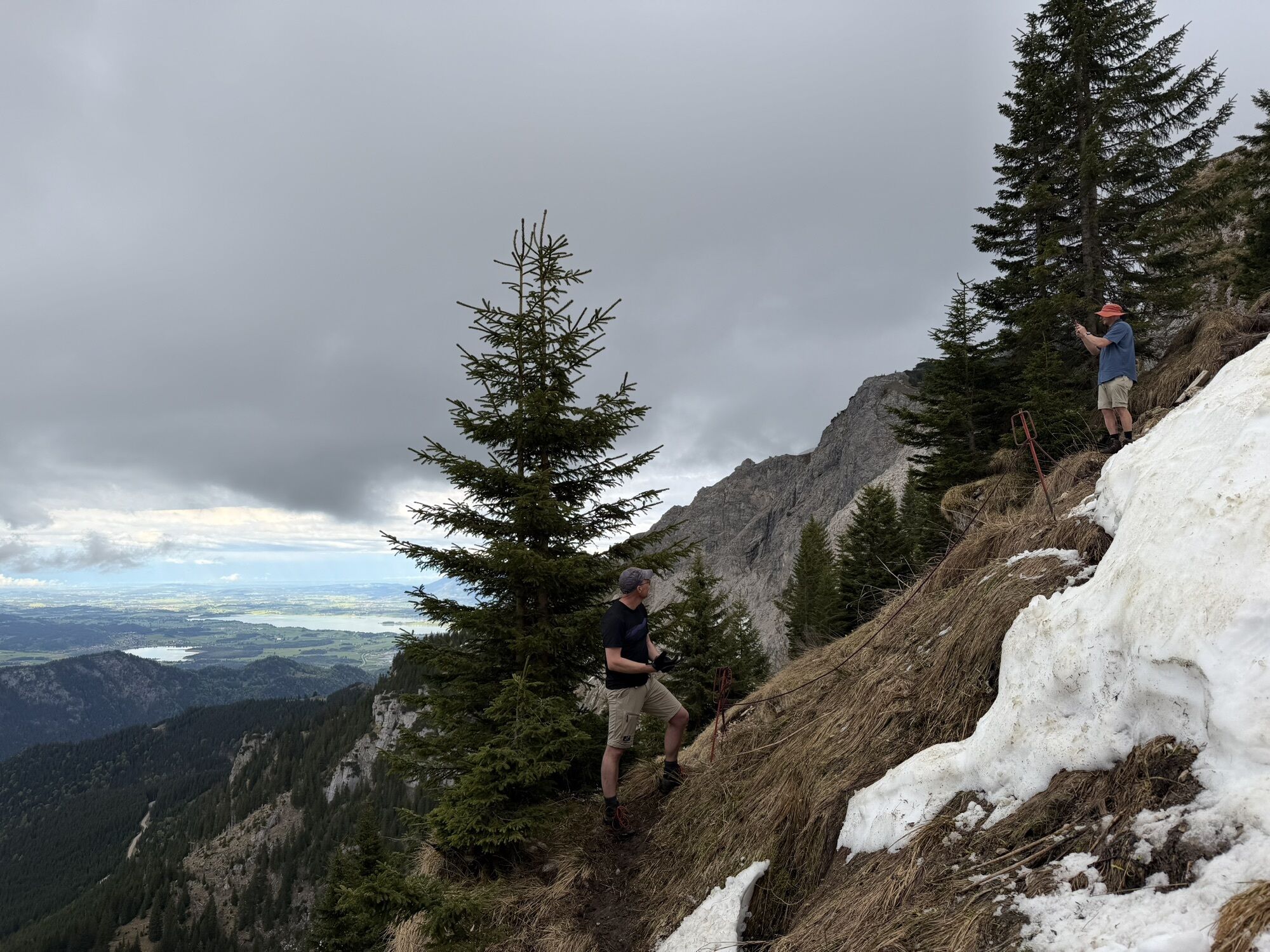
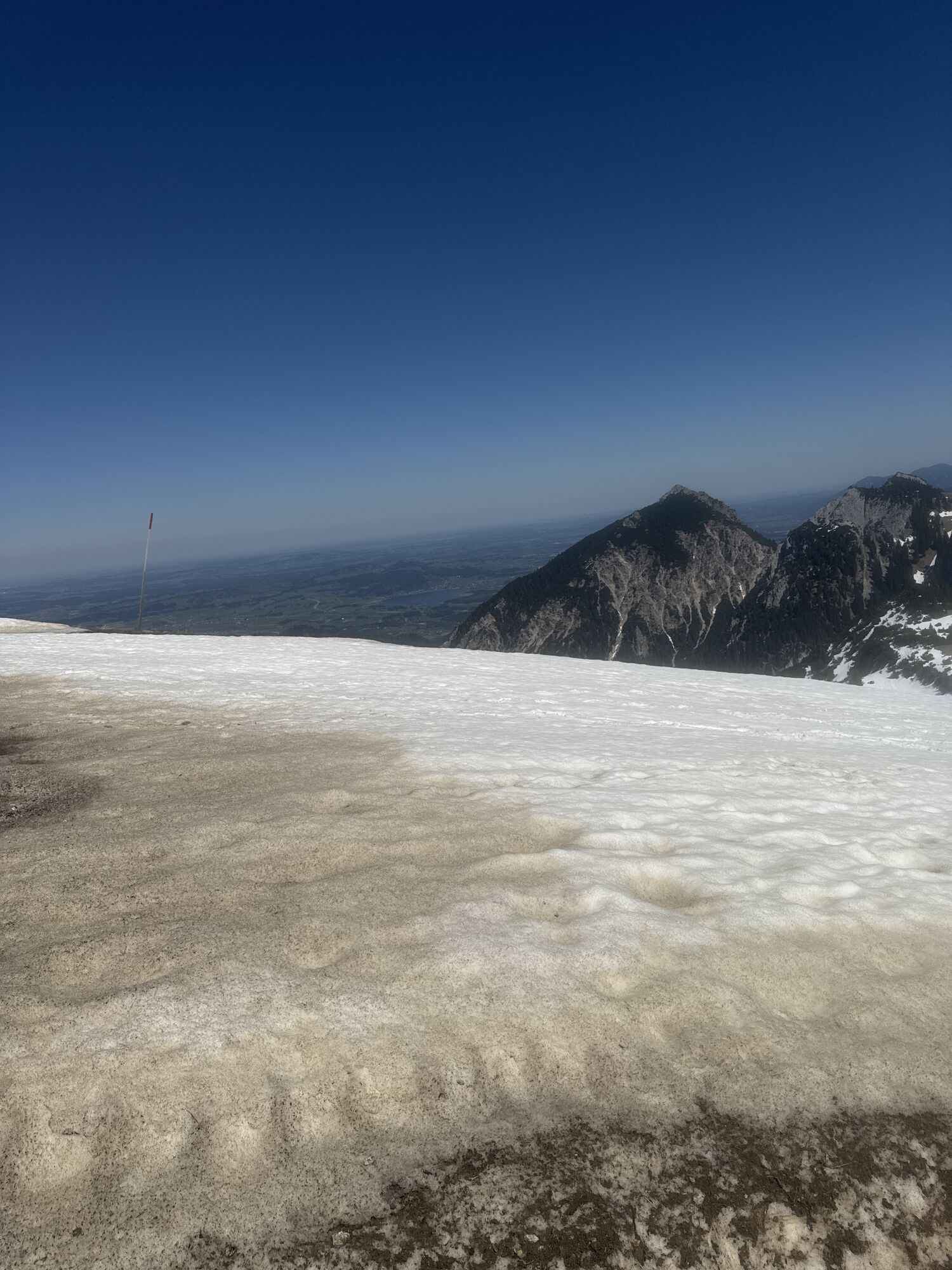

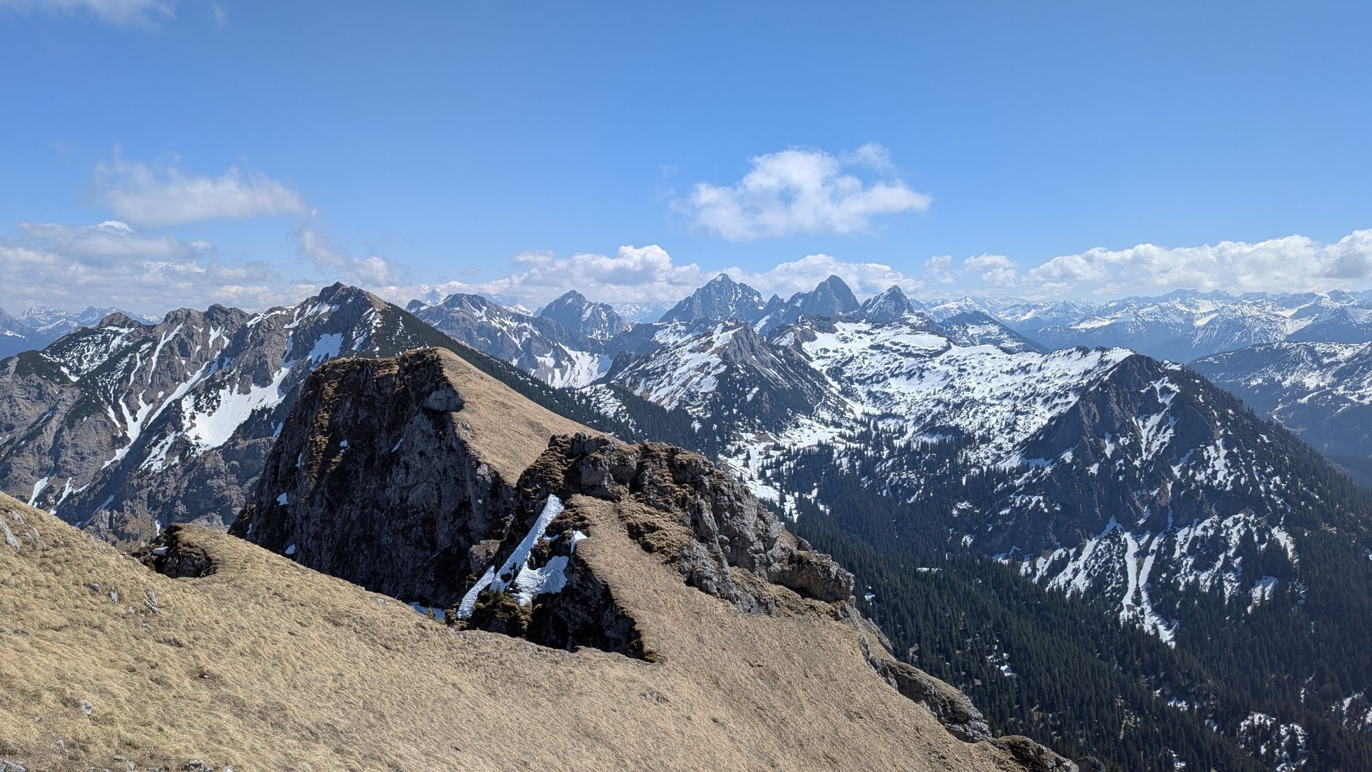
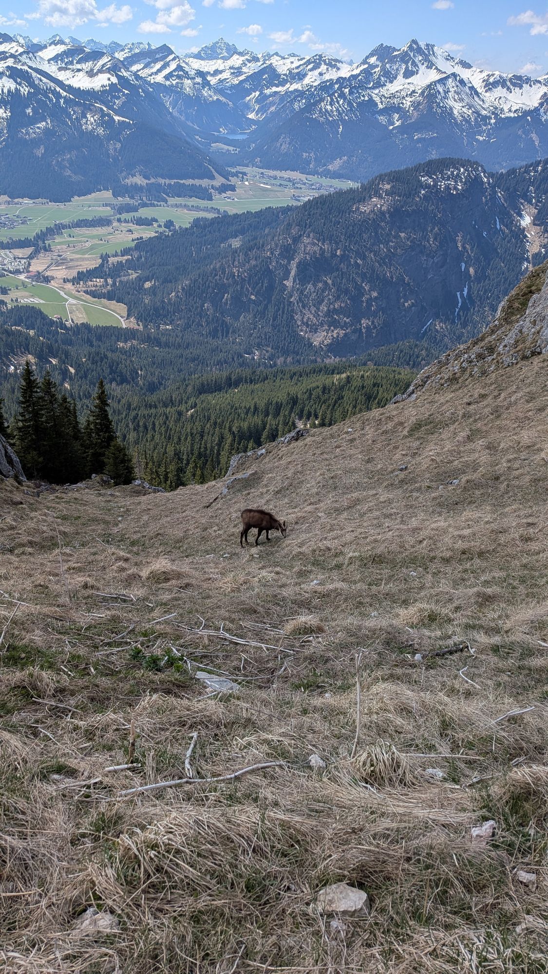


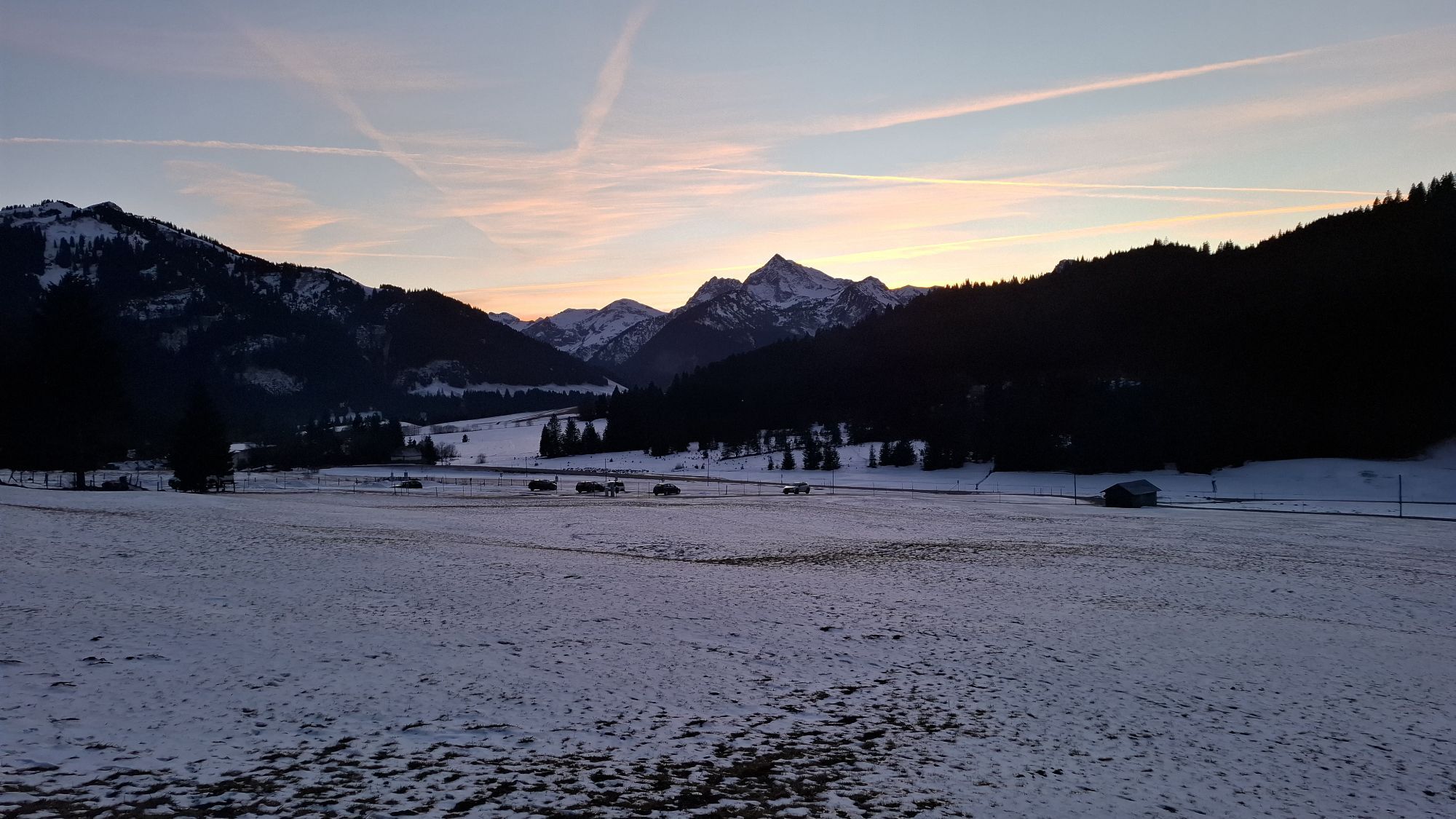

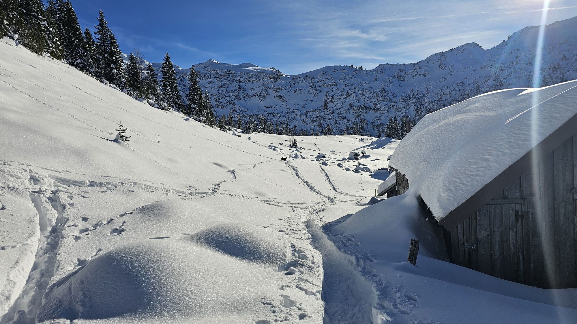
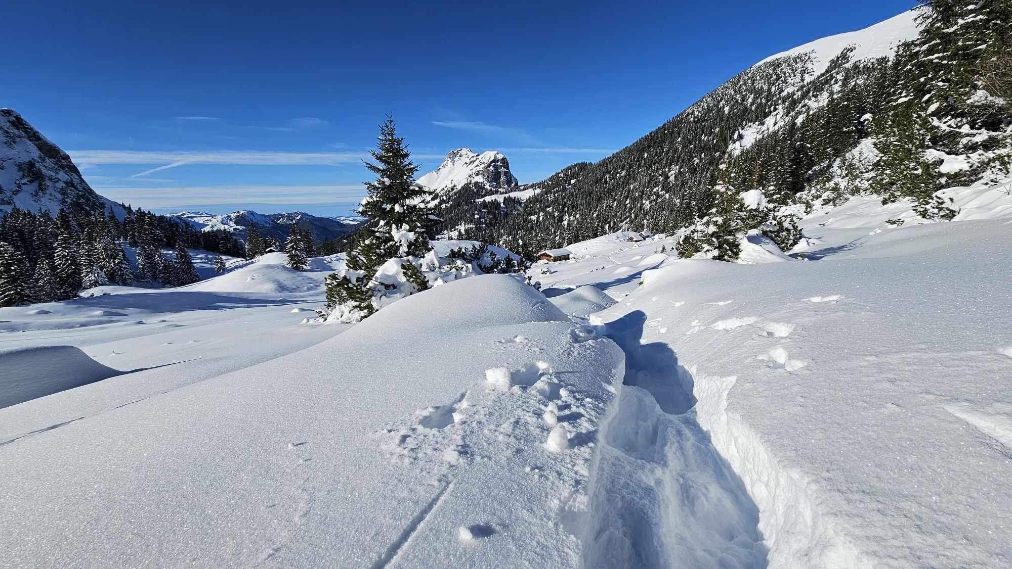
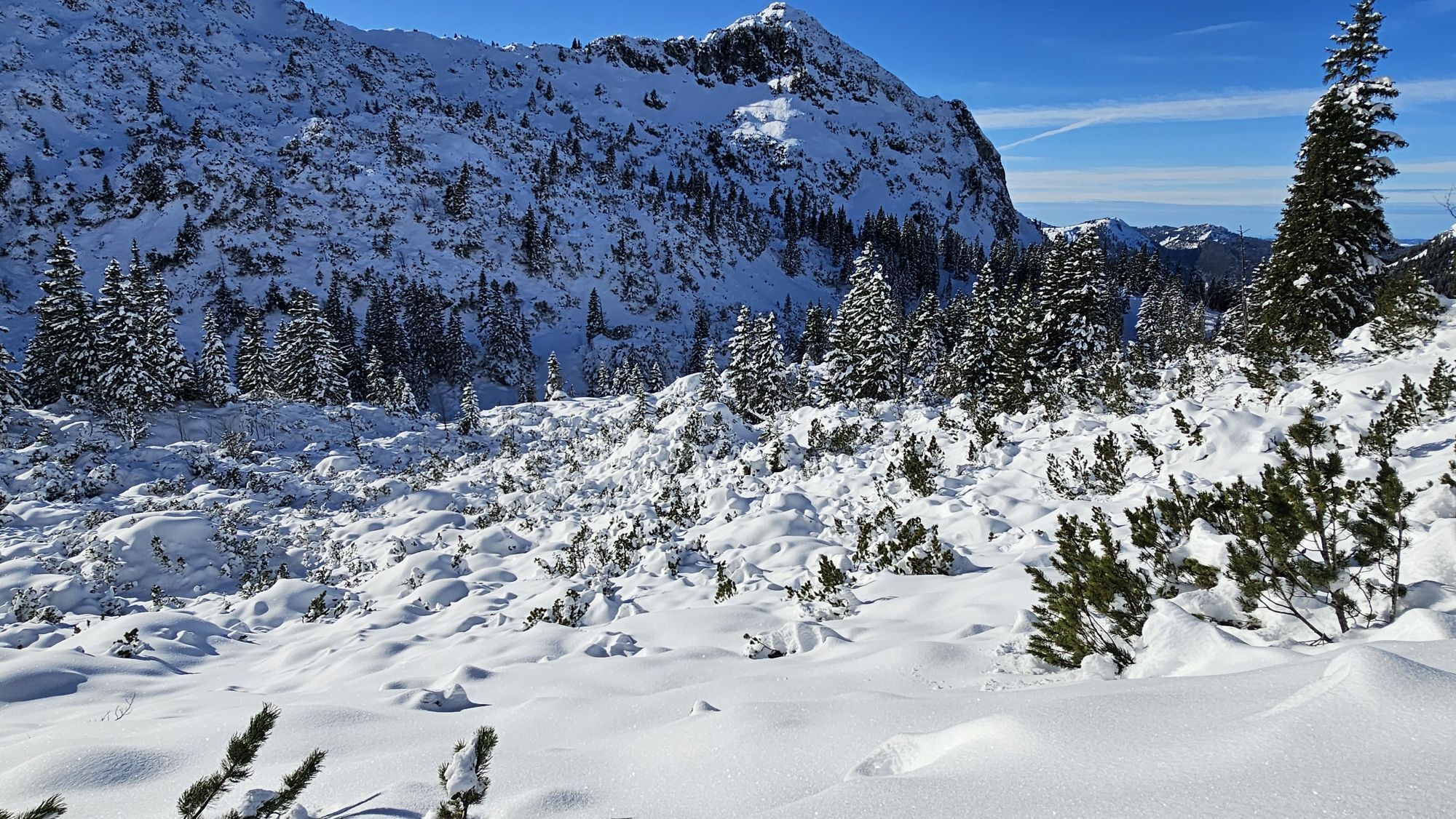

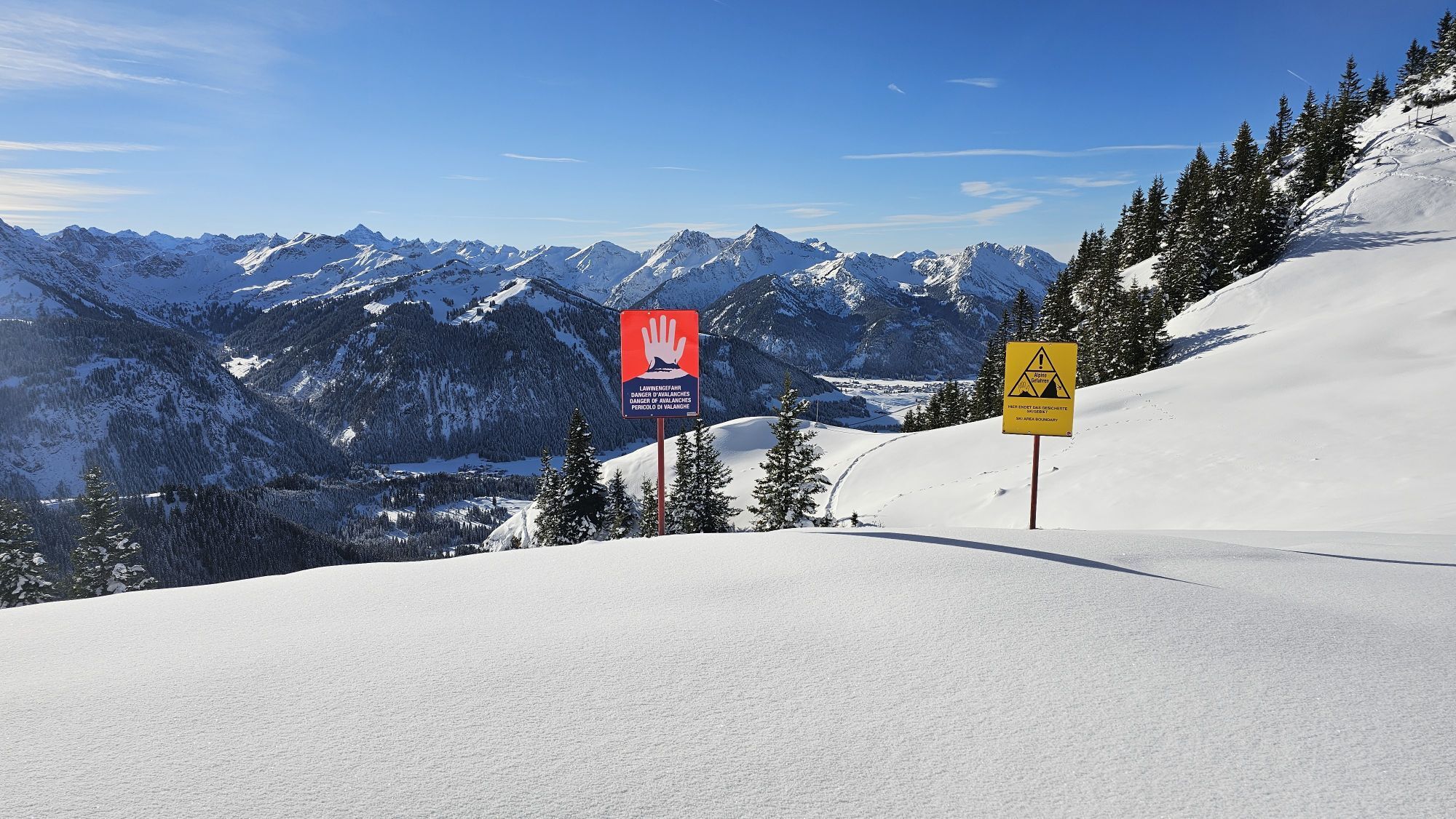


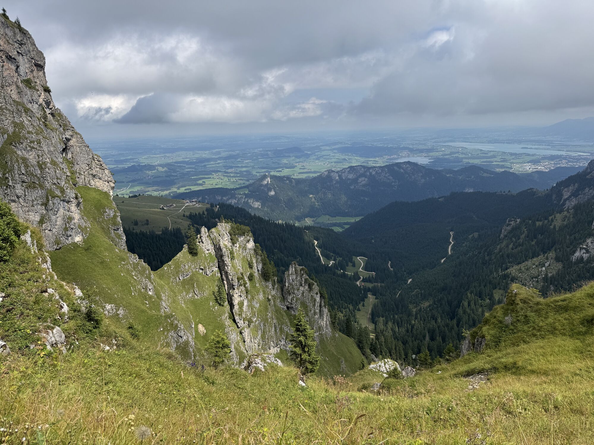


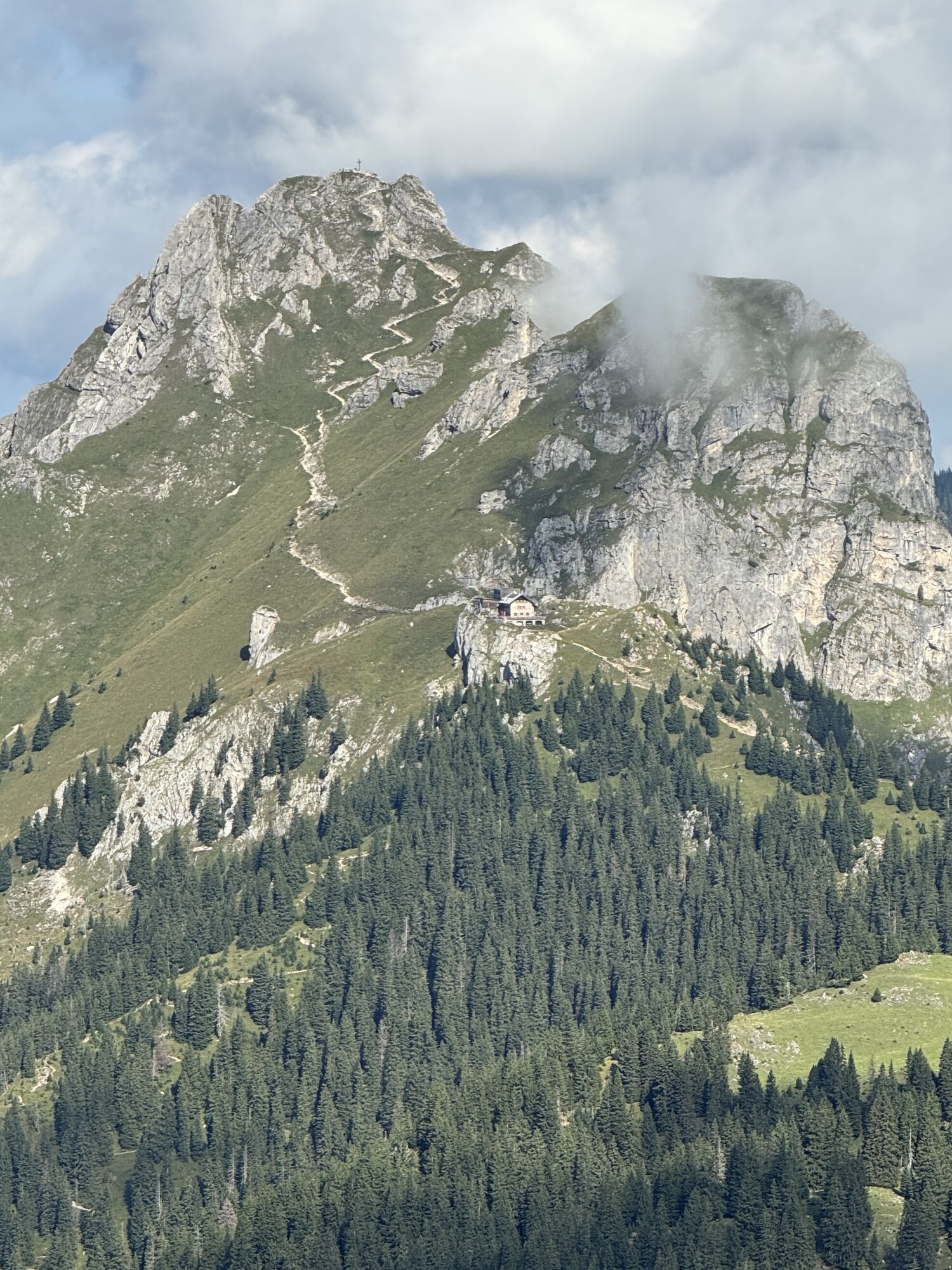

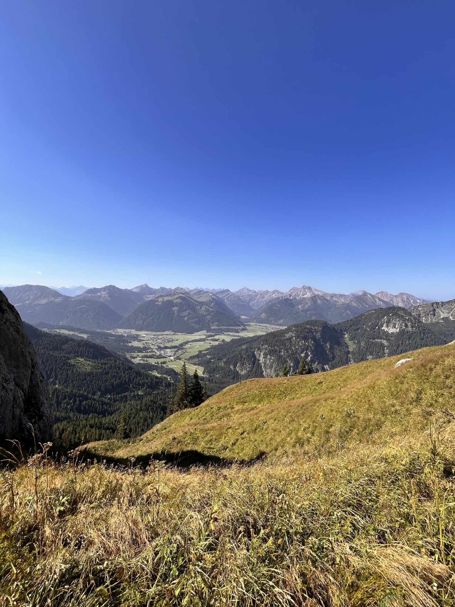

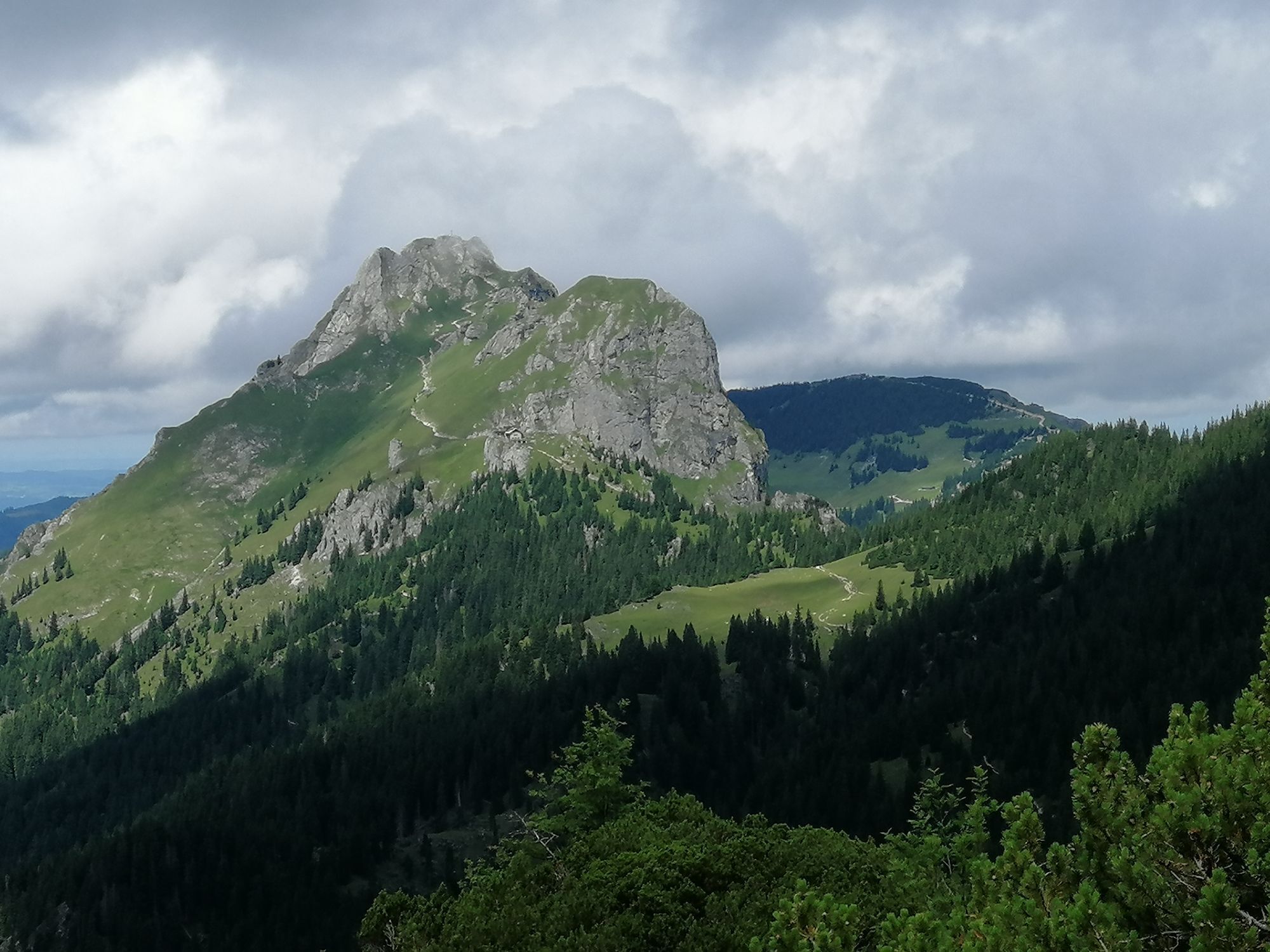
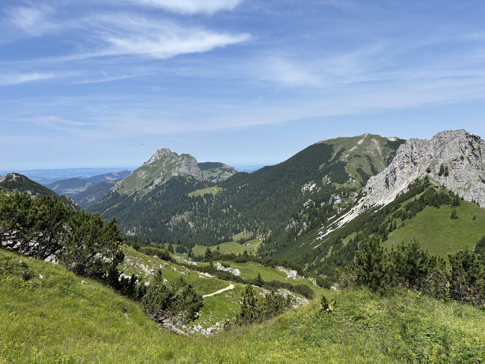

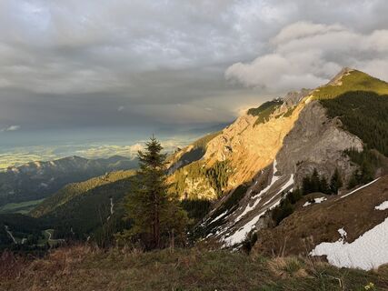
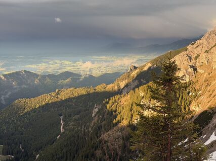
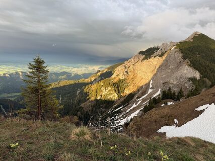
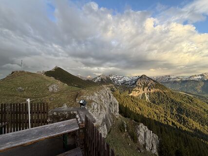
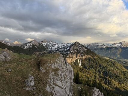
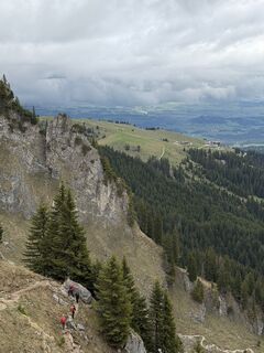
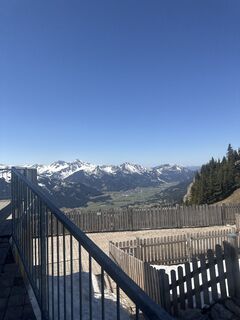
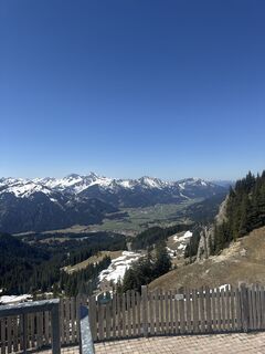
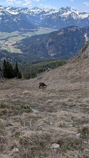
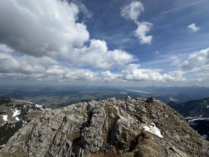
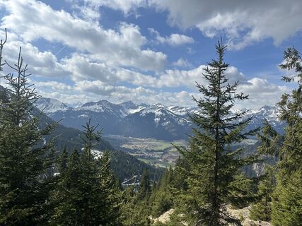
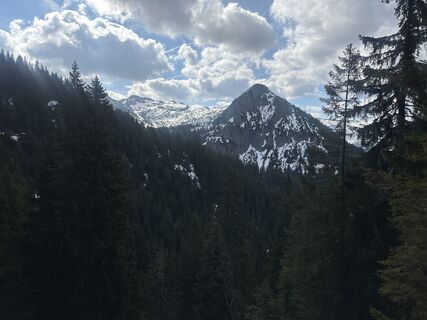
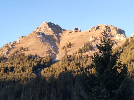
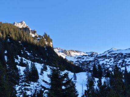
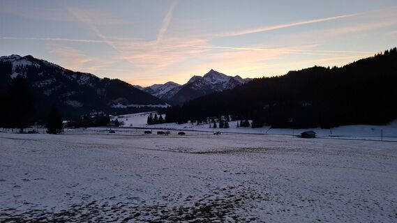
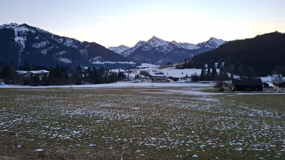
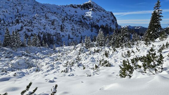
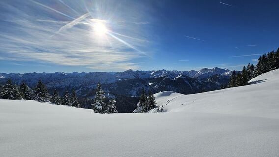
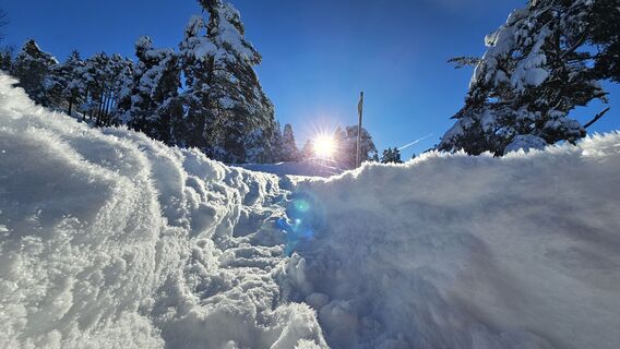
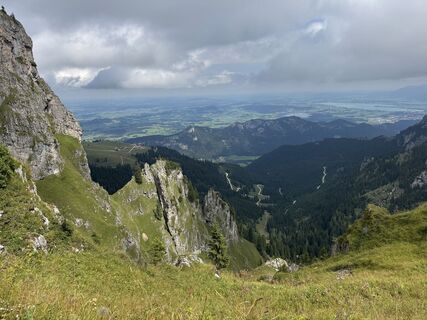
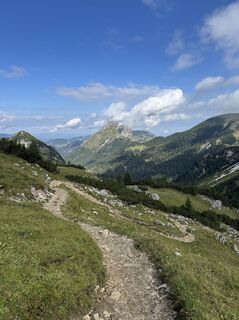
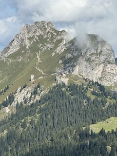
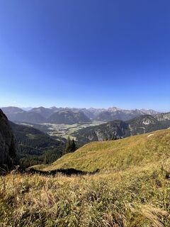
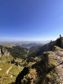
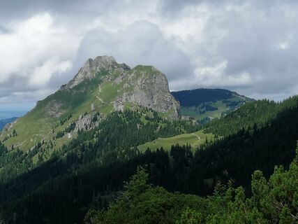
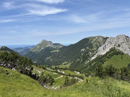
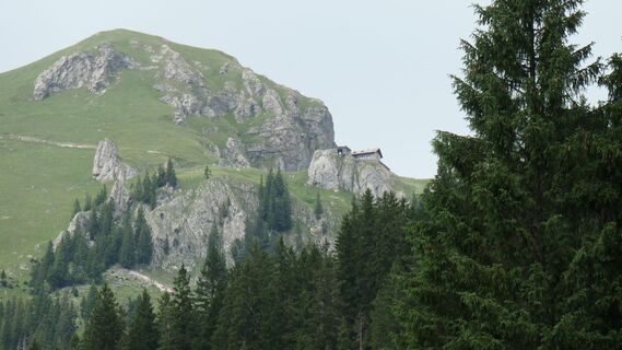
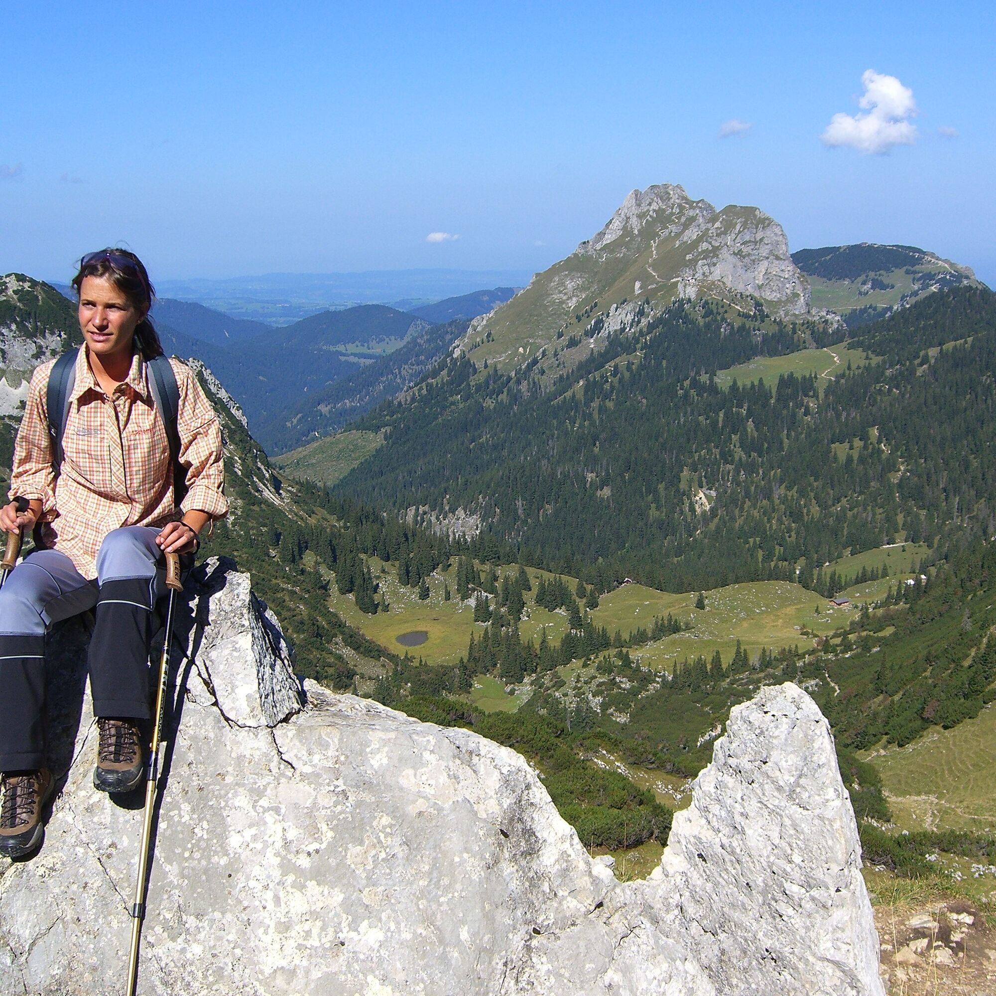
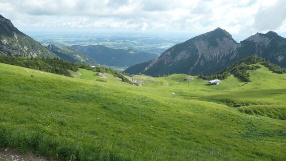
Certainly one of the most beautiful routes in the Tannheimer Tal. This dreamlike pleasure hike makes the hiker's heart beat faster. From the alpine rose to the gentian, this hike offers a wonderful insight...
Certainly one of the most beautiful routes in the Tannheimer Tal. This dreamlike pleasure hike makes the hiker's heart beat faster. From the alpine rose to the gentian, this hike offers a wonderful insight into the flora and fauna of the mountains. Not only the mountain flowers distinguish this hike. Along the entire Gräner Höhenweg you can enjoy the wonderful view of the Tannheimer Tal and the surrounding area. As a crowning highlight, the
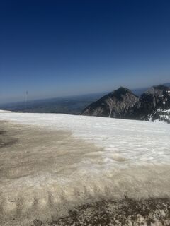
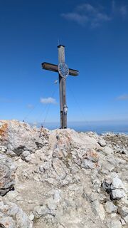
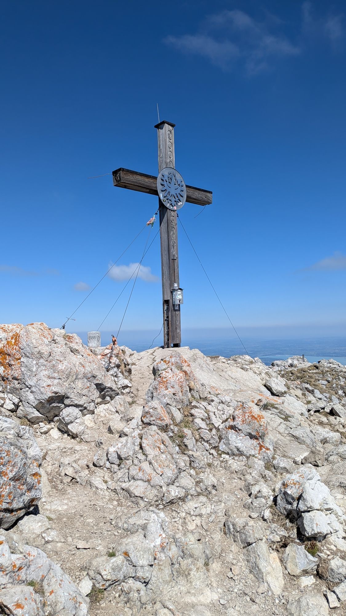
summit climb to the Aggenstein awaits.

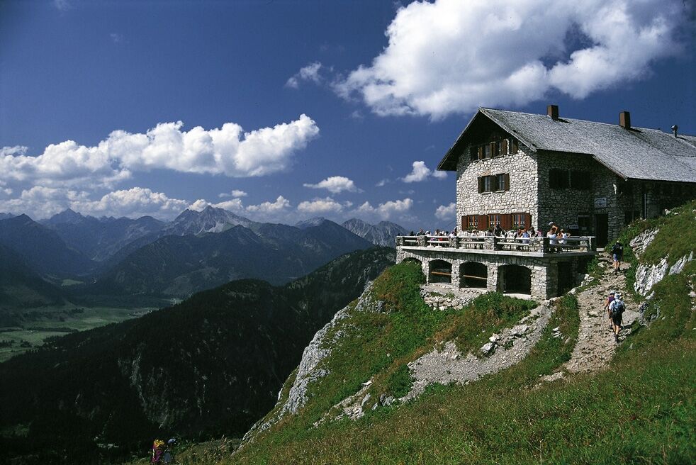
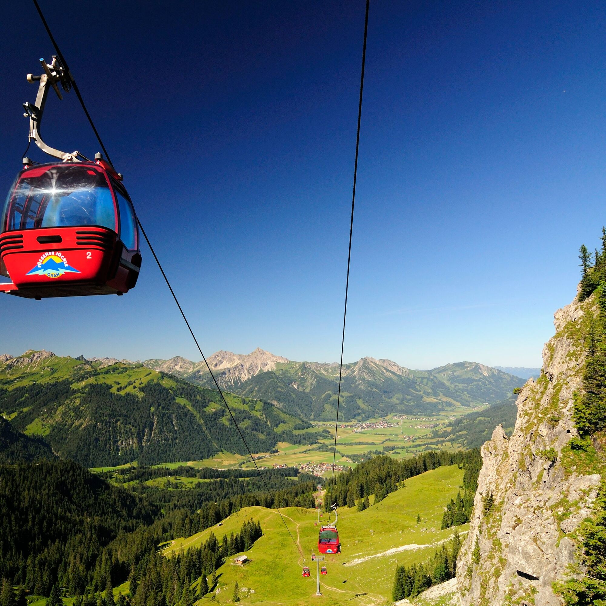
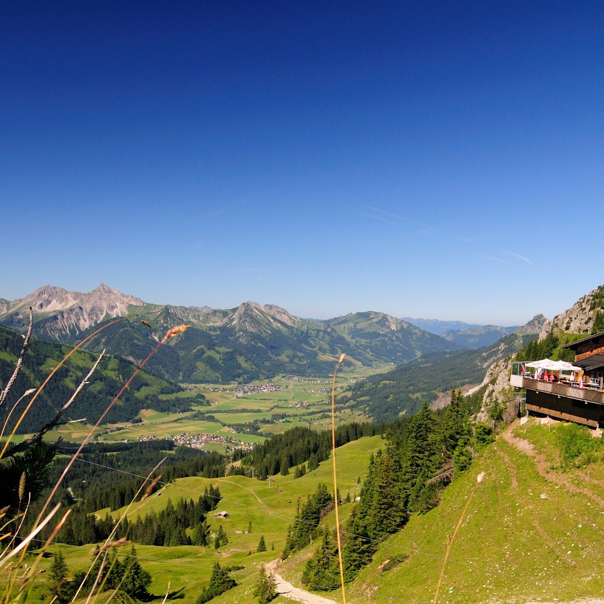
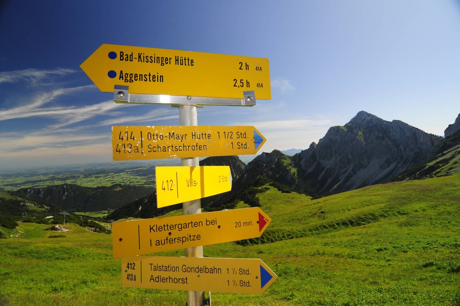
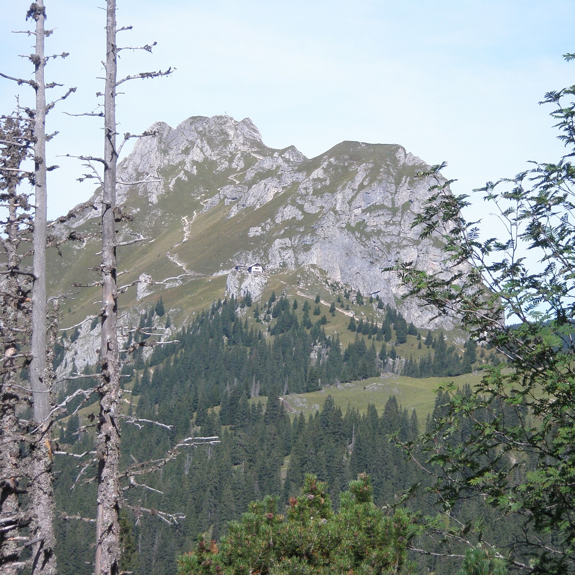
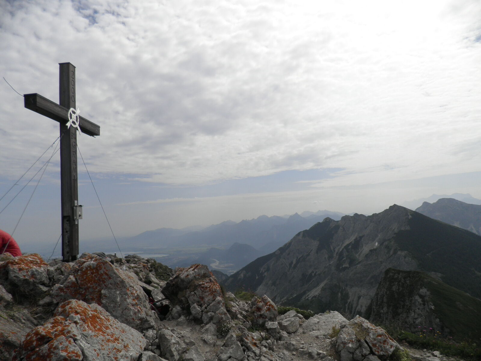
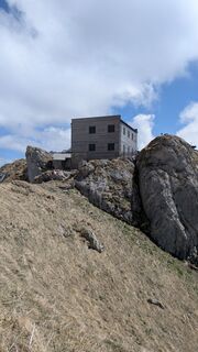
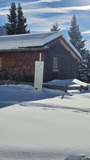
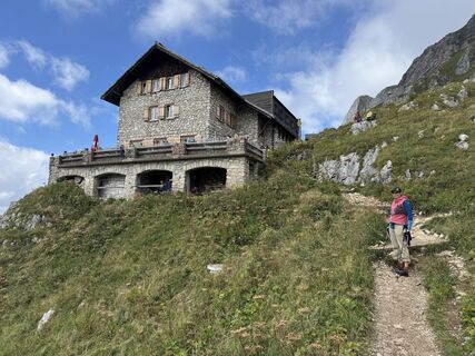
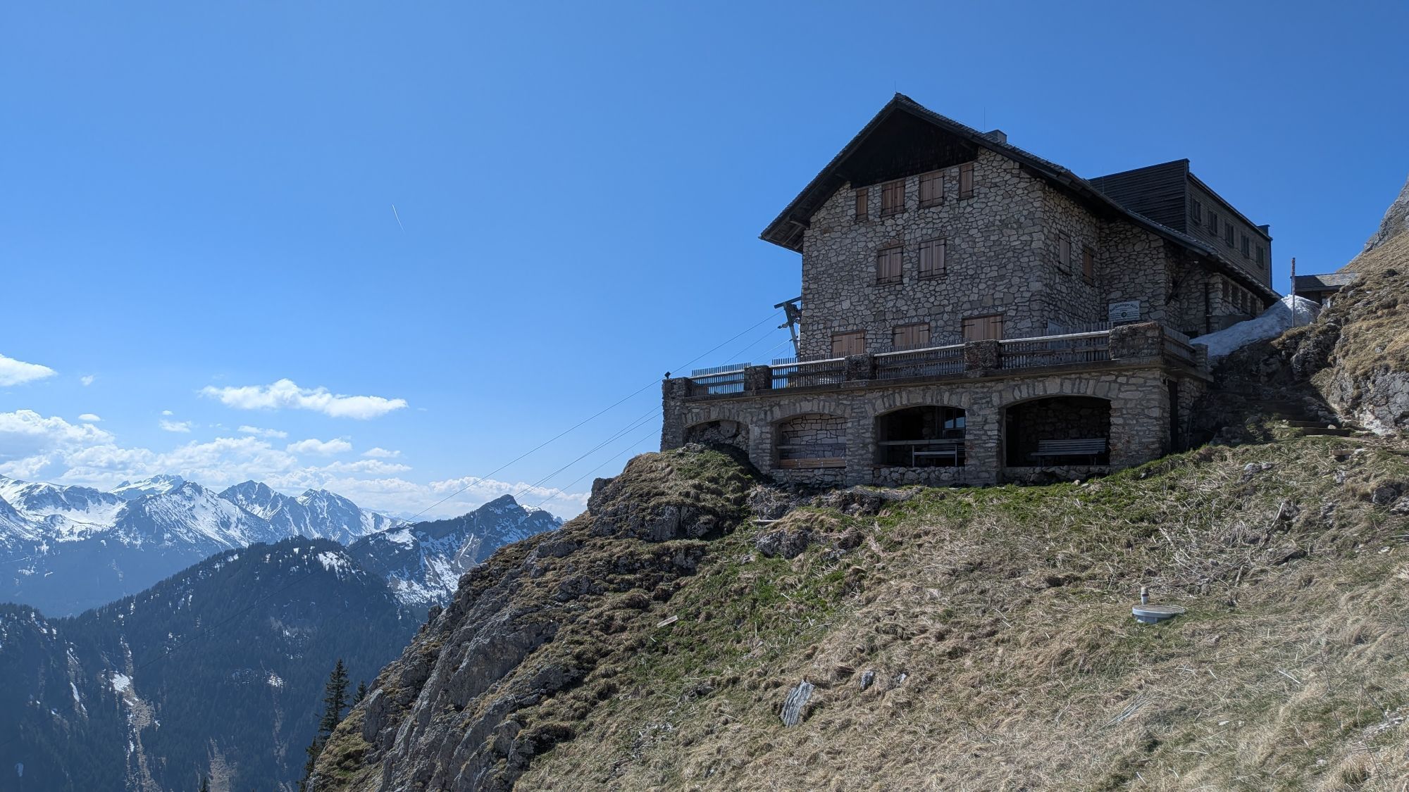
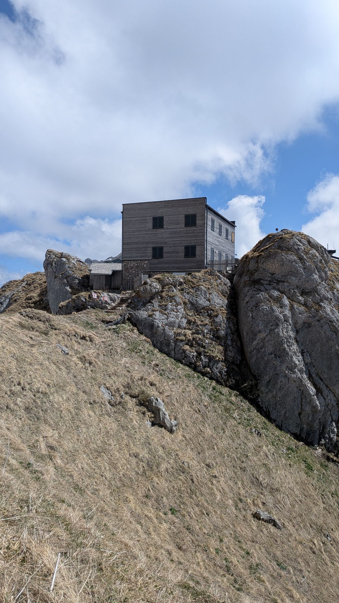
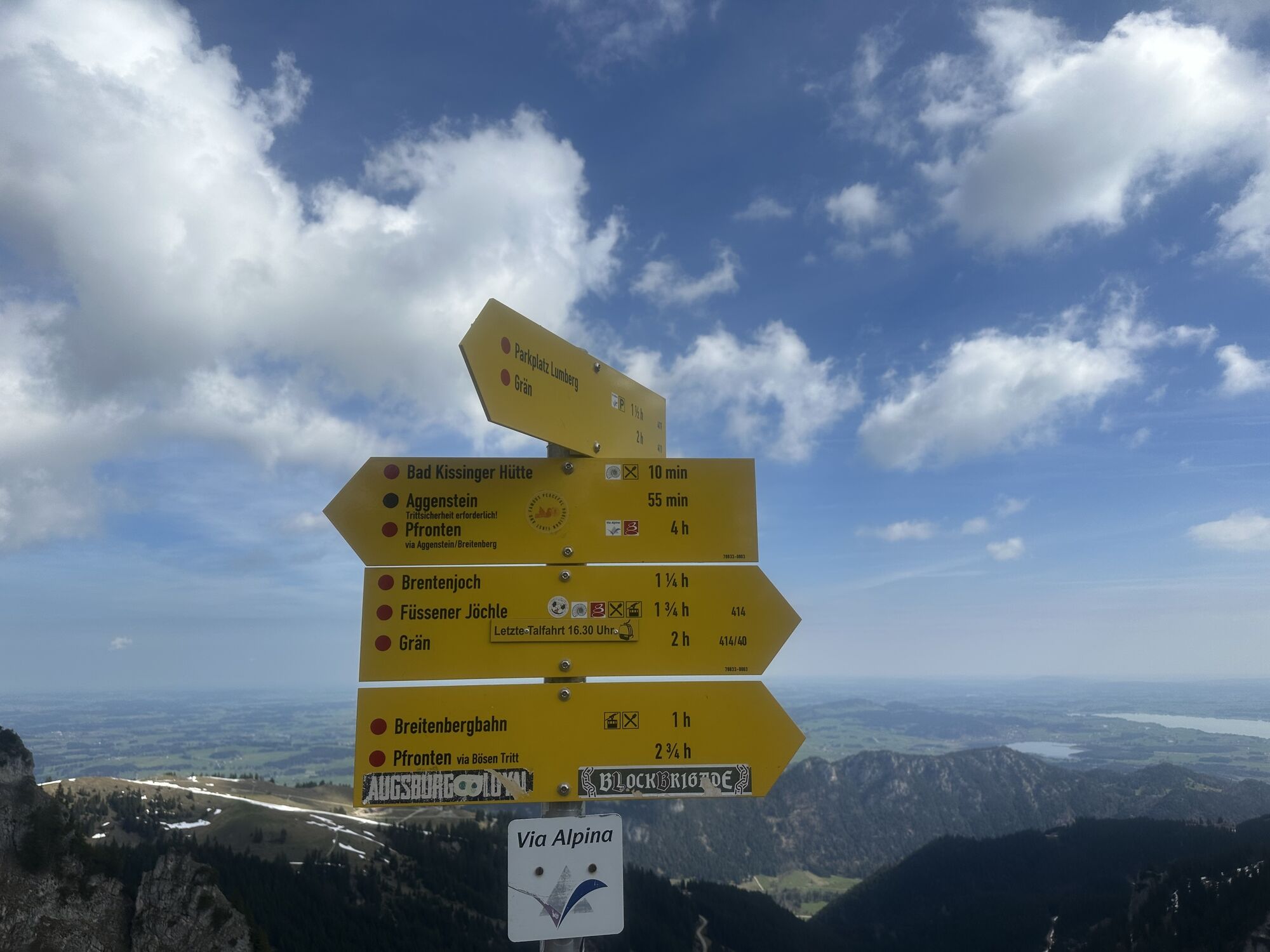
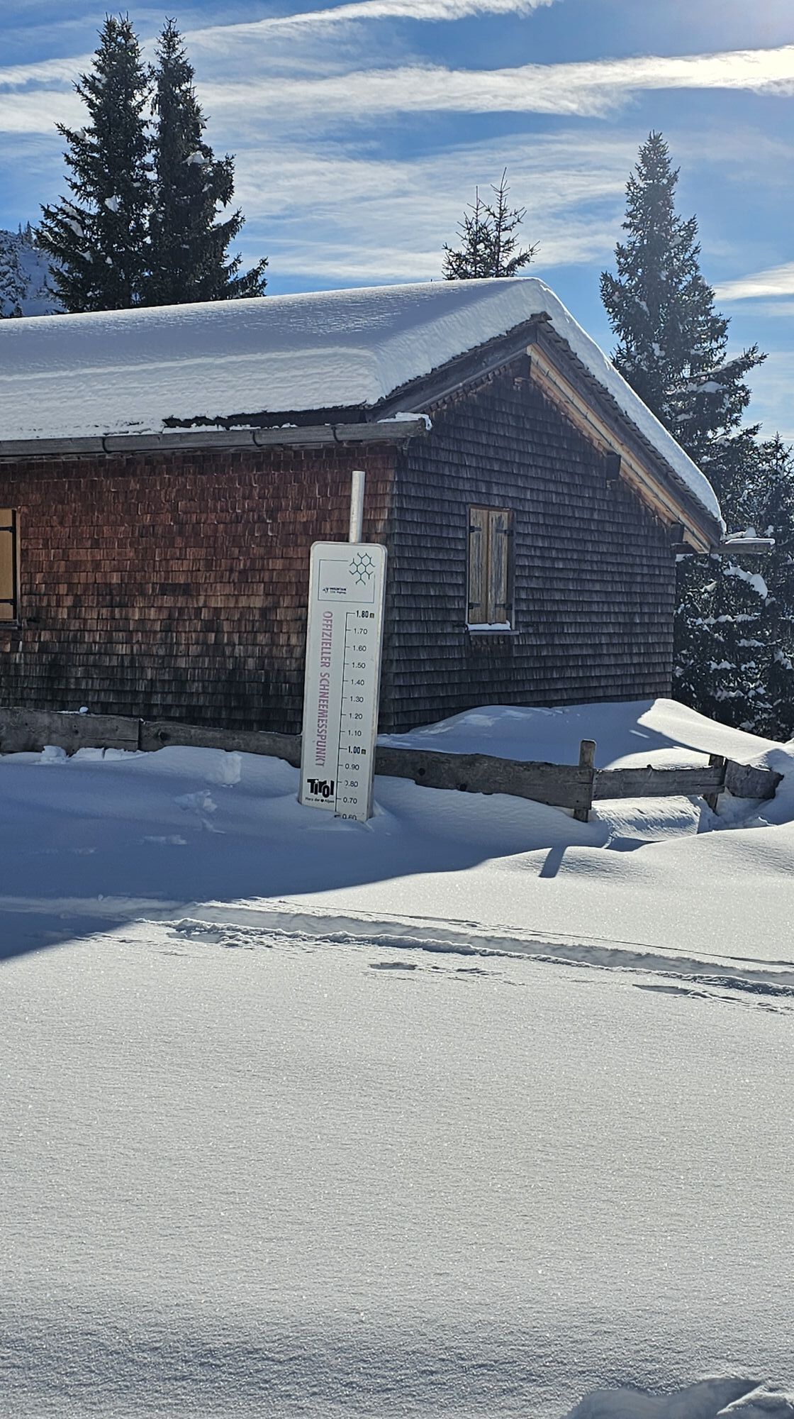
Starting from Grän with the 8-seater gondola to Füssener Jöchle, then continue via Sebenalm (no hut) to the Bad Kissinger Hut, trail no. 414, about 2 1/2 hours (overnight stay possible). From the hut there is the possibility, in about 3/4 hour on trail no. 411 a which transitions under the summit into easy climbing (rope protection available), to reach the summit of the Aggenstein. Descent from the Bad Kissinger Hut into the Enge, trail no. 411, about 1 1/2 hours and back via Lumberg to Grän, about 1/2 hour. Total walking time about 4 1/2 hours.
Áno
Áno
Áno
Personal alpine sports equipment must be safe and functional and meet the respective technical standard. Every hiker is recommended to inform themselves about the planned routes in alpine literature or locally.
Please note that alpine sports can involve an increased risk of accidents and injuries. Despite careful route planning, there is always a basic risk. Preparation through endurance training, corresponding technical training and further education as well as personal caution reduces the risk of accidents and dangers. But please never forget that the weather in the mountains can change very quickly. Stay on the marked hiking trails.
From the Tyrolean side via Reutte on B198 towards Lechtal to Weißenbach, via Gaichtpass along B199 to exit Grän, parking lot in the district Enge.
By train to Sonthofen, Pfronten/Ried or Reutte, then by bus to Grän.
You can park at the lift parking lot Füssener Jöchle - free of charge
Dreamlike viewpoints and impressions are waiting for you.
Webové kamery z prehliadky
-
Tannheim
-
Neunerköpfle Mittelstation
-
Haldensee - Neunerköpfle
-
Skizentrum Steinach / Pfronten
-
Breitenberg Bergstation
-
Kesselmoos und Hochalpbahn
-
Pfronten - Boutique Hotel Blaue Burg Falkenstein
-
Grän - Almdorf Tirol
-
Neunerköpfle Mittelstation
-
Pfronten - Ostlerhütte
-
Grän - Hotel Bergblick
-
Füssener Jöchle Bergstation
-
Füssener Jöchle Bergstation
-
Füssener Jöchle Bergstation
-
Füssener Jöchle Bergstation
-
Füssener Jöchle Bergstation
-
Tannheimertal
-
Breitenbergbahn - Pfronten
-
Pfronten - Skizentrum
-
Füssener Jöchle Bergstation
-
Füssener Jöchle Bergstation
-
Haller
-
Gundhütte - Tannheimertal
-
Talstation Neunerköpfle - Tannheim
Aktivity počas prehliadky
-
Grän, Tirol/Österreich
21.12.2025 – Turistika -
Grän, Tirol/Österreich
19.09.2025 – Turistika -
Grän, Tirol/Österreich
18.09.2025 – E-MTB -
Gräner Höhenweg (ohne Aggenstein)
24.08.2025 – Horská turistika -
AGGENSTEIN - Grän, Tirol/Österreich
09.08.2025 – Turistika -
2025-06-27 W Füssener Jöchle- Bad Kissinger Hütte
27.06.2025 – Turistika
Obľúbené výlety v okolí
-
4,8
Around Weißensee
svetloTuristika 6,12 km -
5,0
Hiking tour to Breitenberg
ťažkéTuristika 15,6 km -
4,8
Tannheim / Vilsalpsee / Landsberger Hütte
strednáTuristika 15,7 km -
5,0
Gemeinde Grän, Tirol/Österreich Aggenstein Rundtour über Höhenweg
strednáTuristika 9,84 km -
4,7
3-Gipfel-Tour
strednáTuristika 11,2 km -
4,2
Three-lake route (awarded the Tyrolean Hiking Trail Seal of Quality)
strednáTuristika 14,8 km -
4,6
3-Seen Rundtour Vilsalpsee / Schrecksee / Traualpsee
strednáTuristika 17,1 km -
4,9
Iseler und Kühgundkopf
strednáTuristika 7,63 km -
4,4
Schloß Neuschwanstein und Schwanensee Schwangau, Bayern
strednáTuristika 9 km -
4,4
Rundwanderung Stuibenfälle
strednáTuristika 3,92 km
Turistika a stopovanie


Nenechajte si ujsť ponuky a inšpiráciu na ďalšiu dovolenku
Vaša e-mailová adresa bol pridaný do poštového zoznamu.