


VIA CLAUDIA AUGUSTA 10 along the natural river Tiroler Lech


Area:
The first mountain ridges at the border between Germany and Austria form a gate, which the Via Claudia Augusta crossed into the Alps and the Reutte nature reserve region in Tyrol. This is where the...
Area:
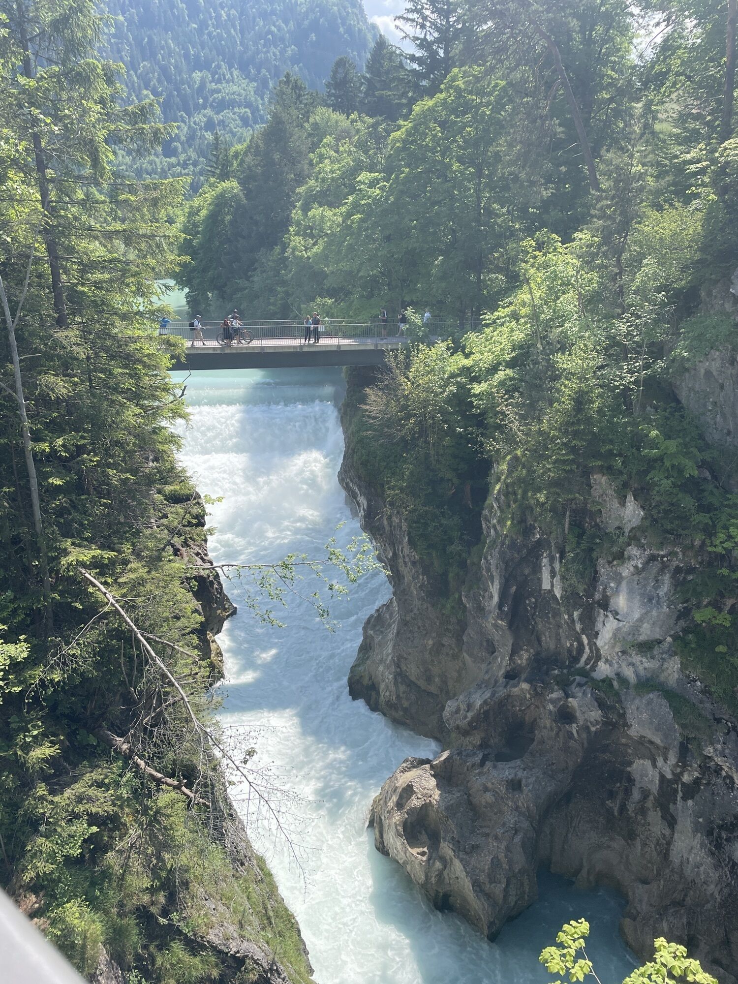
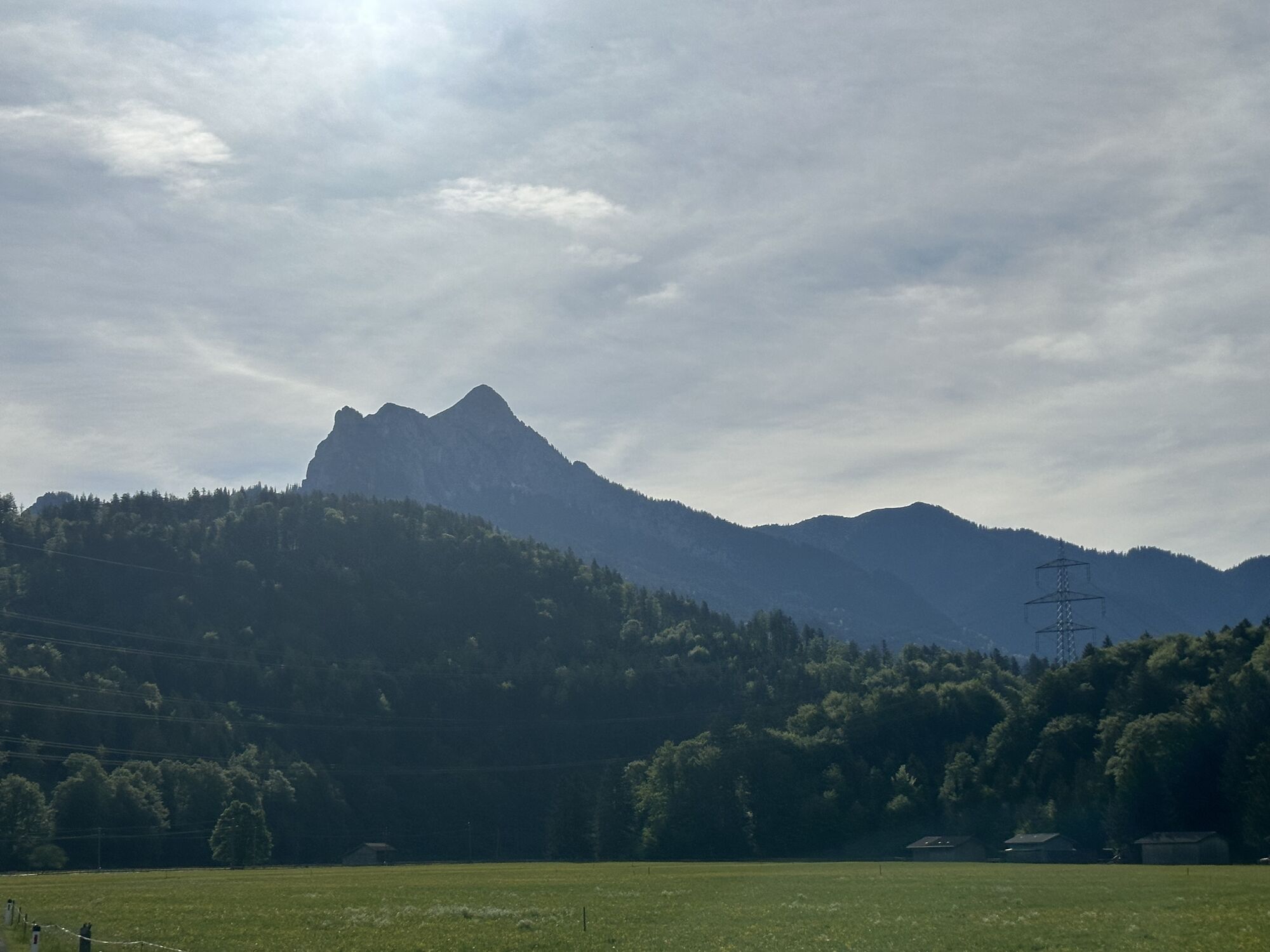
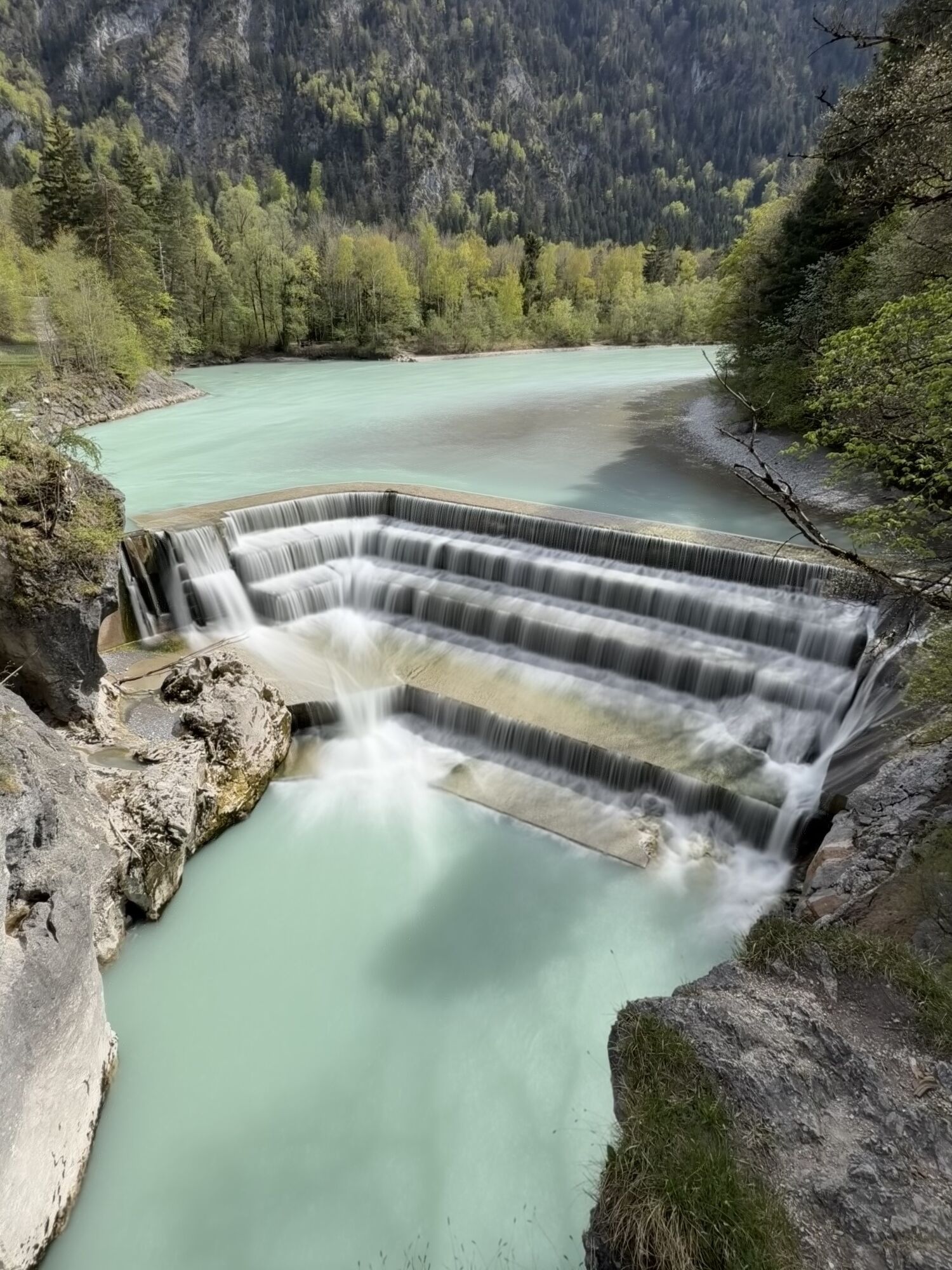
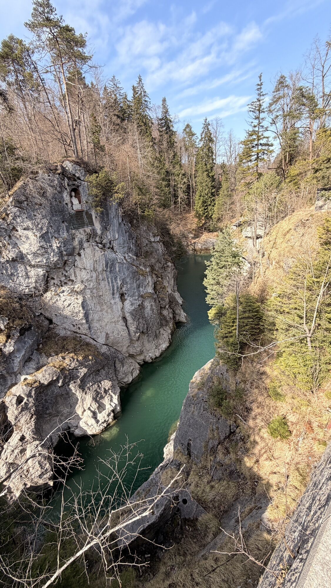
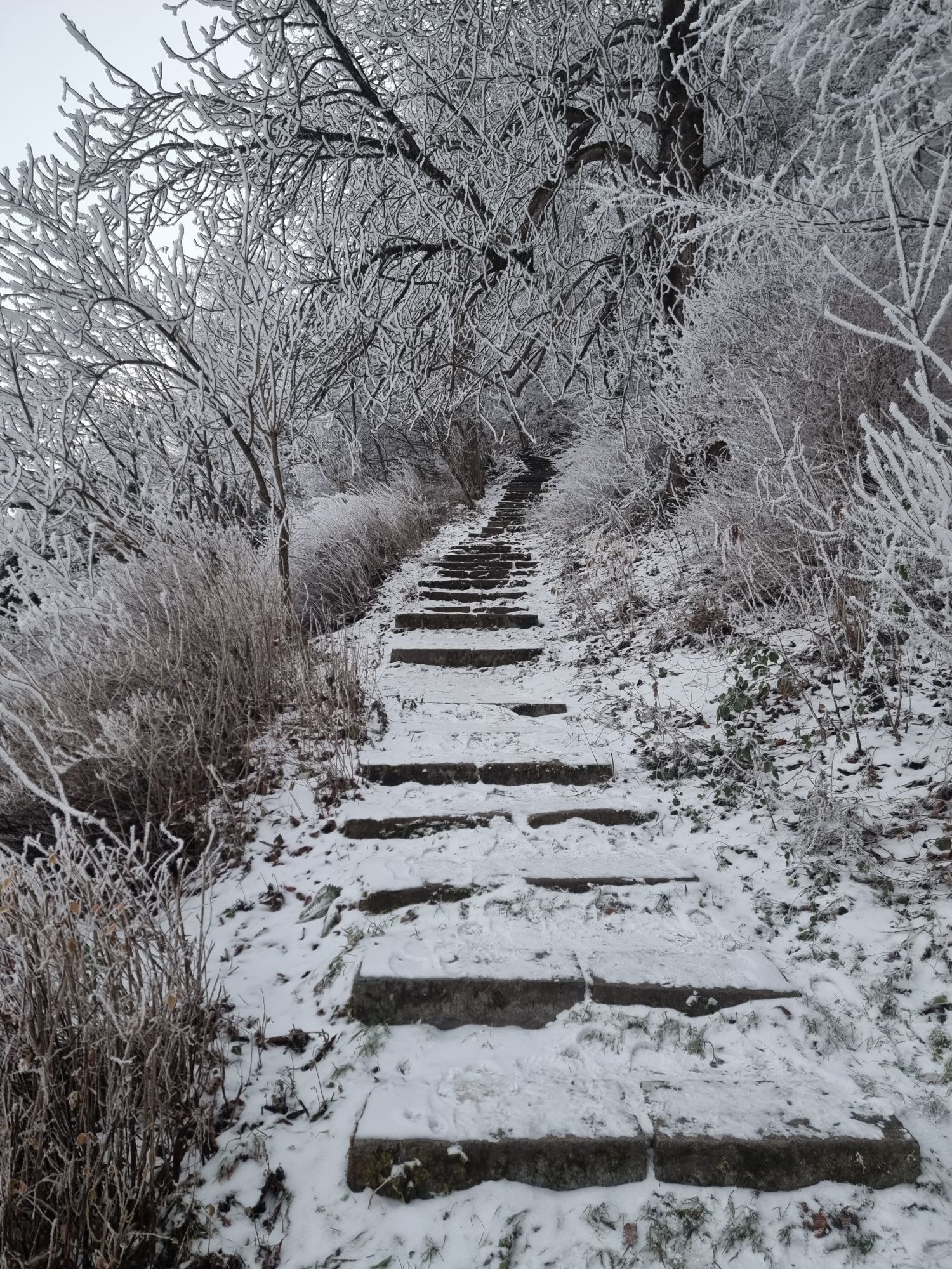
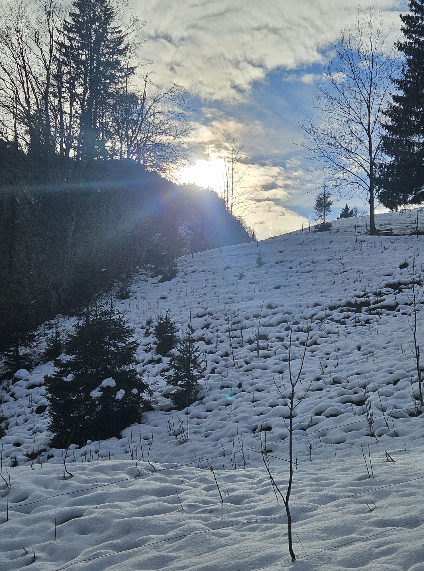
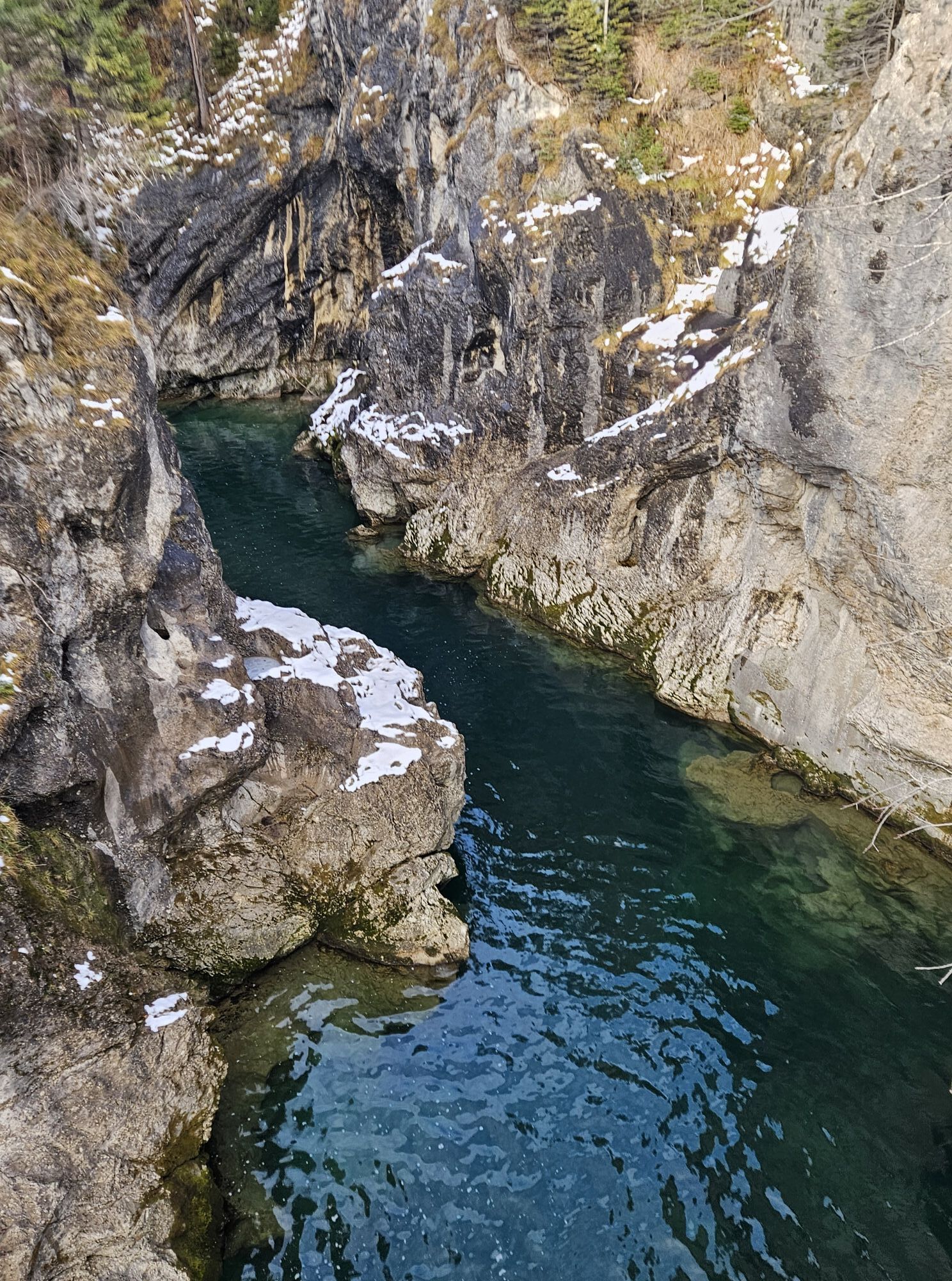
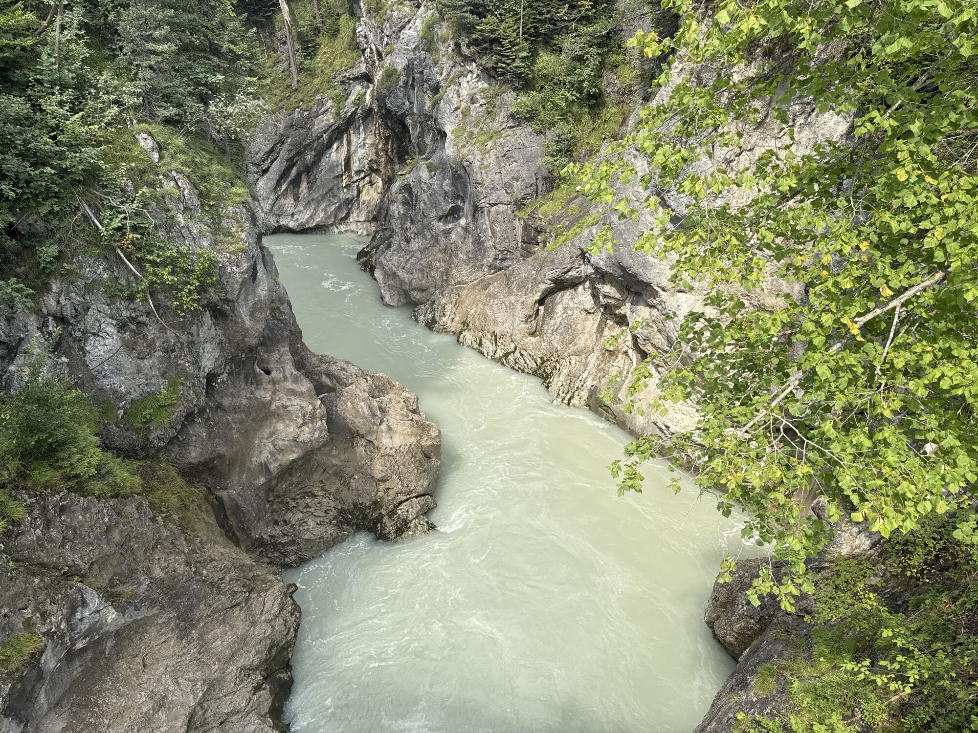
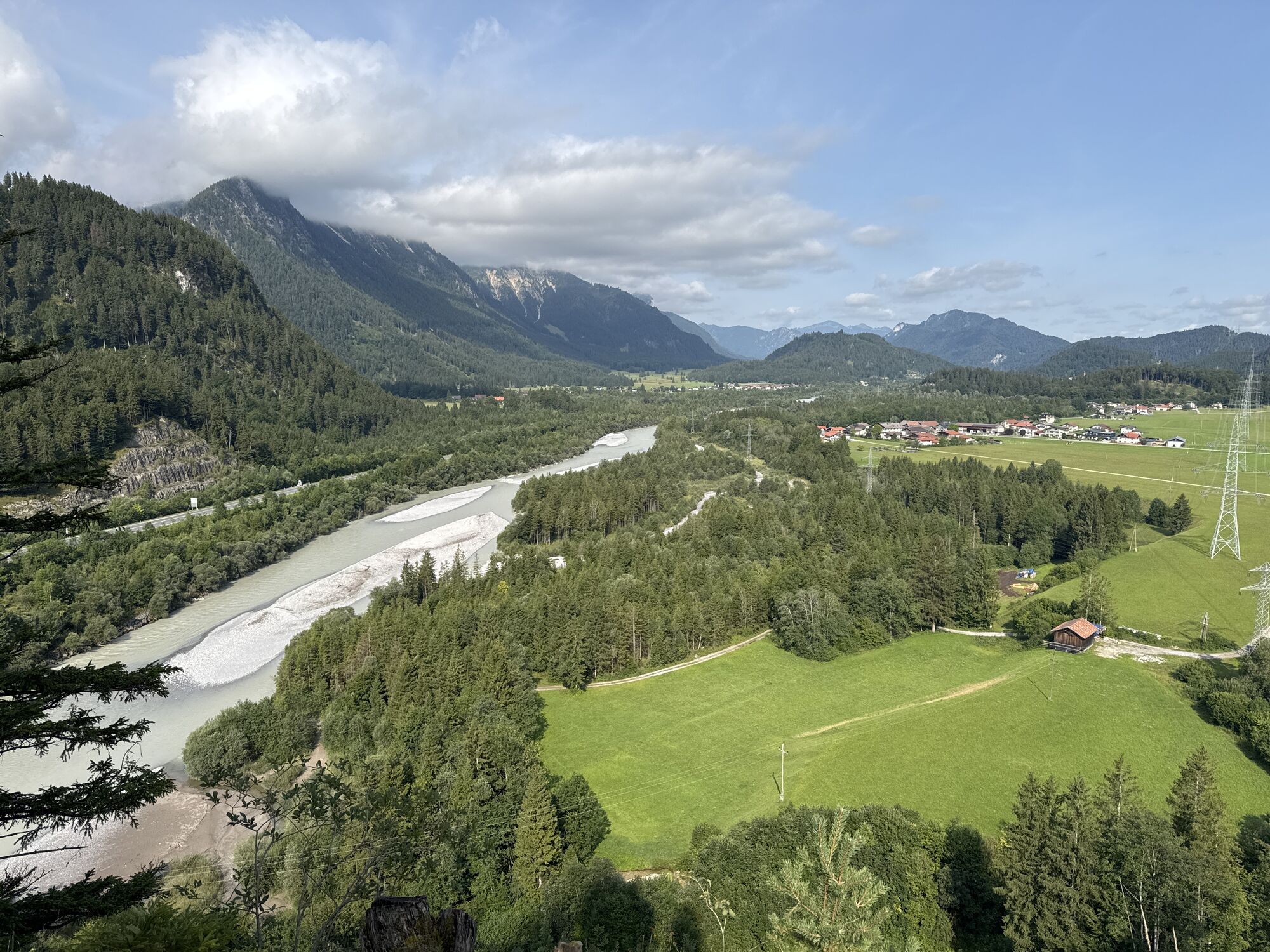
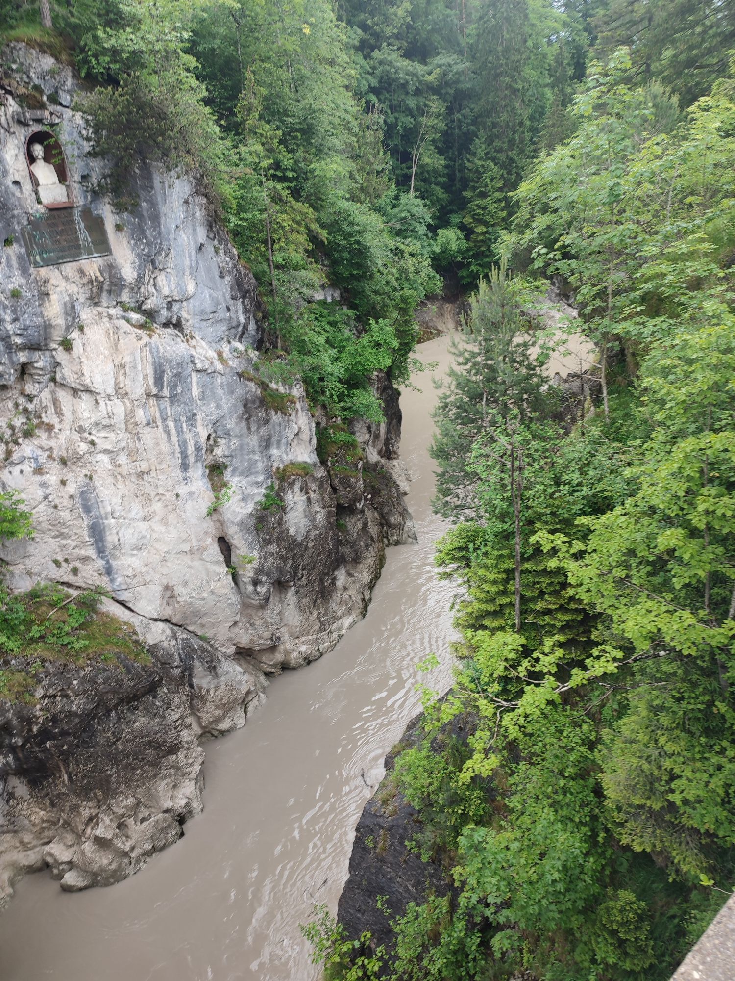
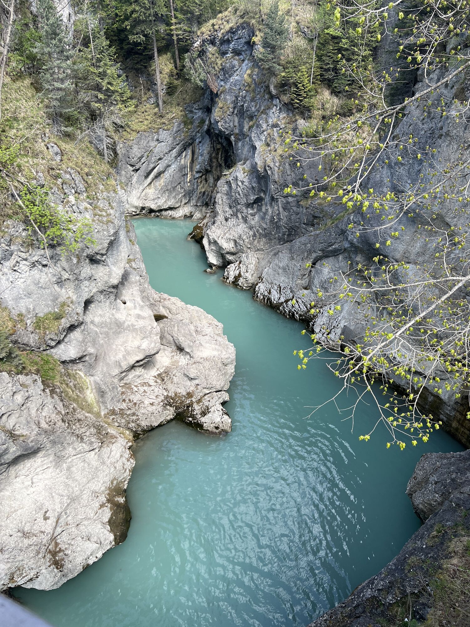
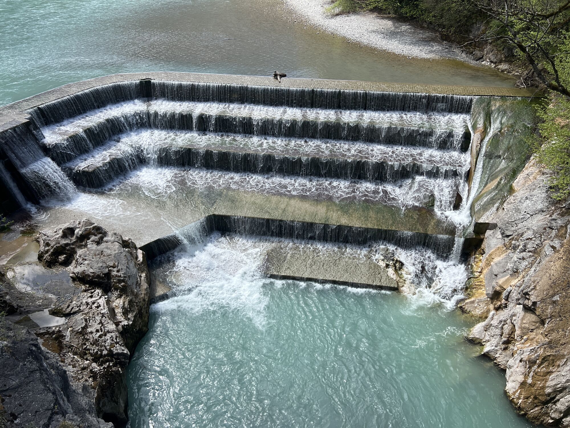
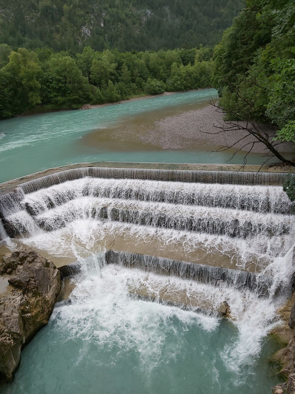
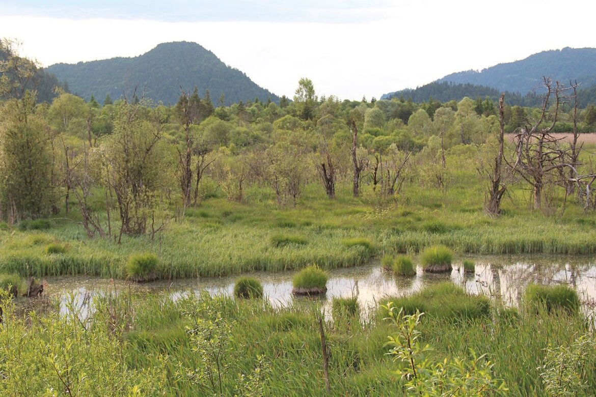
The first mountain ridges at the border between Germany and Austria form a gate, which the Via Claudia Augusta crossed into the Alps and the Reutte nature reserve region in Tyrol. This is where the only untouched section of the Lech in the northern Alps begins. The realm of the ‘last wild one’, as the nature park exhibition dubs the river, is dominated by extensive gravel banks and wetlands that cover the entire valley in some sections. Since time immemorial, the river has determined where settlements and roads could be built. Large parts of the valley have always been prone to flooding, so the Roman route of the Via Claudia Augusta crossed two plateaus between Füssen and the valley basin of Reutte: the mountain ridge between the Stiglberg and Kratzer and the Kniepass.
Route:
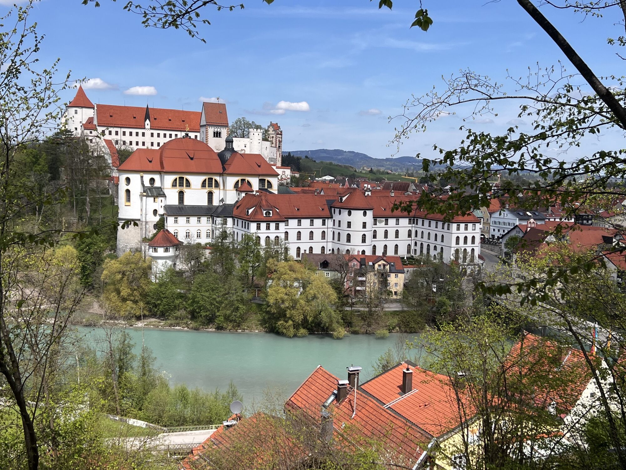
Leave the old town of Füssen and cross the Lech river. Make sure you look back at the town from the south bank of the river: the view is wonderful! As you enter Austria, the cycling route runs parallel to the Lech river and the picturesque, old country road, parts of which are lined with trees. It departs from the river to cross the quaint villages of Unterpinswang and Oberpinswang before crossing the Kniepass to Pflach, just like the old Roman road did. At the edge of the Lech floodplains, the route crosses verdant pastures to lead you into the district capital of Reutte.
In printed form, this stage can be found in the Reutte edition of the series "4 maps through the millennia", which shows the region today and at 3 interesting times in history.
There is also an interactive map for gazing and planning your tour along the Via Claudia Augusta, a routing app for Android and iPhone in which you can transfer the planned trip, as well as printed cycling guides for the ALTINATE variant (Danube - Adriatic Sea - Trento - Feltre - Altino near Venice) and the PADANA variant (Danube - Alps - Trento - Verona - Ostiglia in the Po Valley = Piana Padana).
All this is also available for a separate customized walking route and a travel route for car, camper, bus, ... along the Via Claudia Augusta.
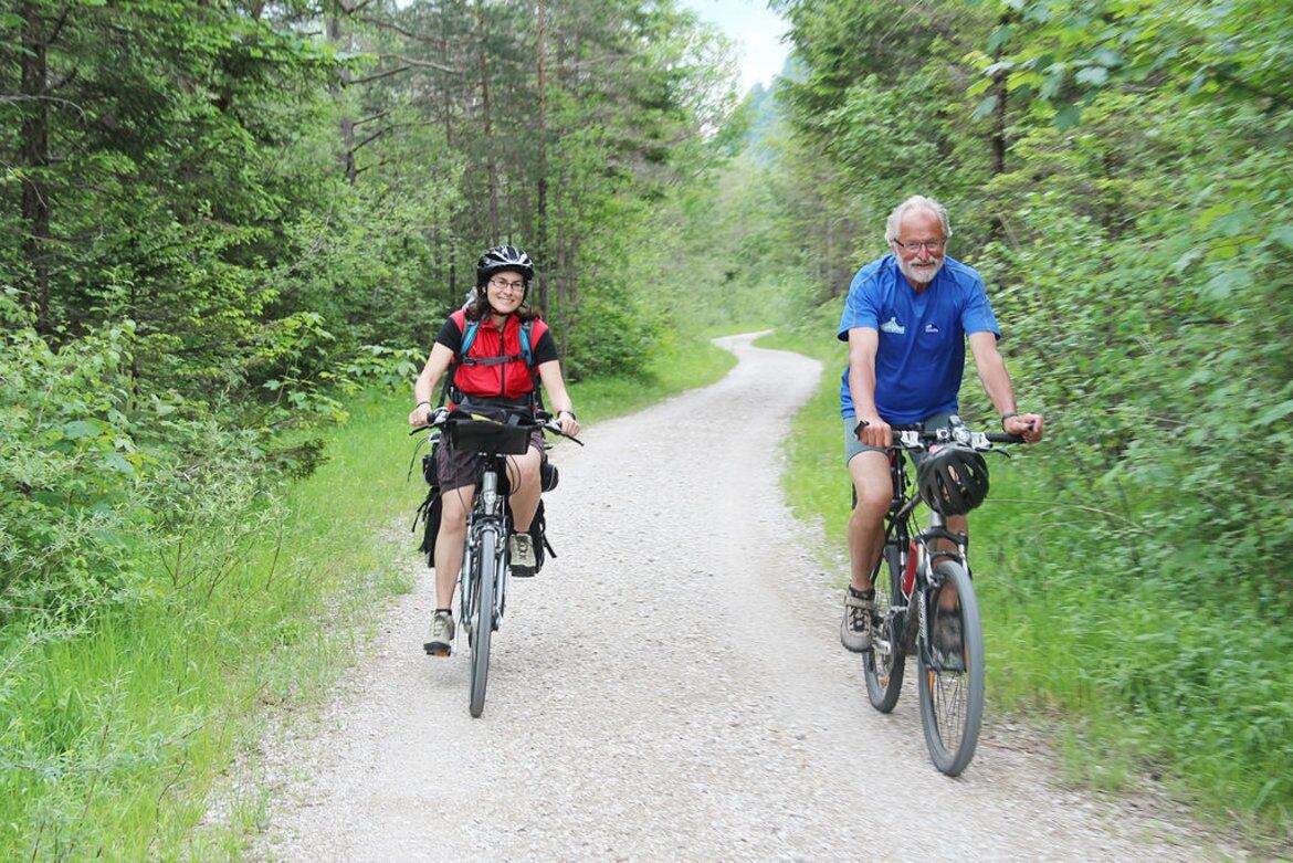
Leave the old town of Füssen and cross the Lech river. Make sure you look back at the town from the south bank of the river: the view is wonderful! As you enter Austria, the cycling route runs parallel to the Lech river and the picturesque, old country road, parts of which are lined with trees. It departs from the river to cross the quaint villages of Unterpinswang and Oberpinswang before crossing the Kniepass to Pflach, just like the old Roman road did. At the edge of the Lech floodplains, the route crosses verdant pastures to lead you into the district capital of Reutte.
Trekking, City- or Mountainbike
Between Füssen and Pinswang partly gravel
Webové kamery z prehliadky
-
Talstation
-
Füssen - Wellness Hotel Sommer
-
Segelclub Füssen
-
Camping Hopfensee
-
Camping Hopfensee
-
Schloss Hohenschwangau
-
Schloss Hohenschwangau
-
Schloss Hohenschwangau
-
Schloss Hohenschwangau
-
Schloss Hohenschwangau
-
Schloss Hohenschwangau
-
Schloss Hohenschwangau
-
Ludwigs Festspielhaus Füssen
-
Ludwigs Festspielhaus Füssen
-
Ludwigs Festspielhaus Füssen
-
Ludwigs Festspielhaus Füssen
-
Ludwigs Festspielhaus Füssen
-
Ludwigs Festspielhaus Füssen
-
Forggensee
-
Füssen Appartementhotel Seespitz
-
Hotel Hirsch
-
Hotel Hirsch
-
Hotel Hirsch
-
Hotel Hirsch
-
Hotel Hirsch
-
Hotel Hirsch
-
Hotel Hirsch
-
Tegelberg Landeplatz
-
Fernpassstraße B179
-
Fernpassstraße B179
-
Fernpassstraße B179
-
Fernpassstraße B179
-
Fernpassstraße B179
-
Fernpassstraße B179
-
Fernpassstraße B179
-
Fernpassstraße B179
Obľúbené výlety v okolí
-
4,8
Thaneller
strednáTuristika 4,90 km -
4,8
Around Weißensee
svetloTuristika 6,12 km -
5,0
Hiking tour to Breitenberg
ťažkéTuristika 15,6 km -
4,1
Drehhütte
svetloTuristika 3,34 km -
4,7
Yellow Wall Trail, Tegelberg (A)
strednáVia ferrata 3,65 km -
4,4
Circular hike Dreh- and Rohrkopfhütte
svetloTuristika 8,76 km -
4,9
Tegelberg | Branderschrofen | Neuschwanstein
strednáTuristika 14,8 km -
5,0
Gemeinde Grän, Tirol/Österreich Aggenstein Rundtour über Höhenweg
strednáTuristika 9,84 km -
4,2
Cultural trail Schutzengelweg
strednáTuristika 5,13 km -
3,6
Rundwanderung Plansee
strednáTuristika 9,80 km
Turistika a stopovanie


Nenechajte si ujsť ponuky a inšpiráciu na ďalšiu dovolenku
Vaša e-mailová adresa bol pridaný do poštového zoznamu.