



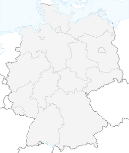


Hut tour - Tegelberg, Jägerhütte, Bleckenau




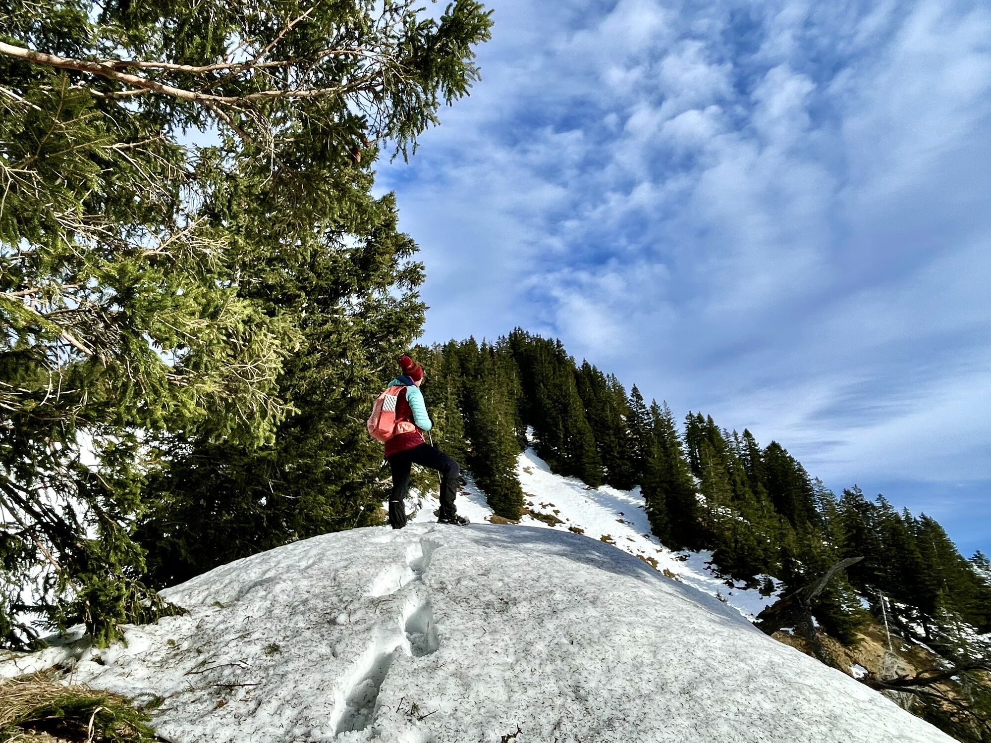
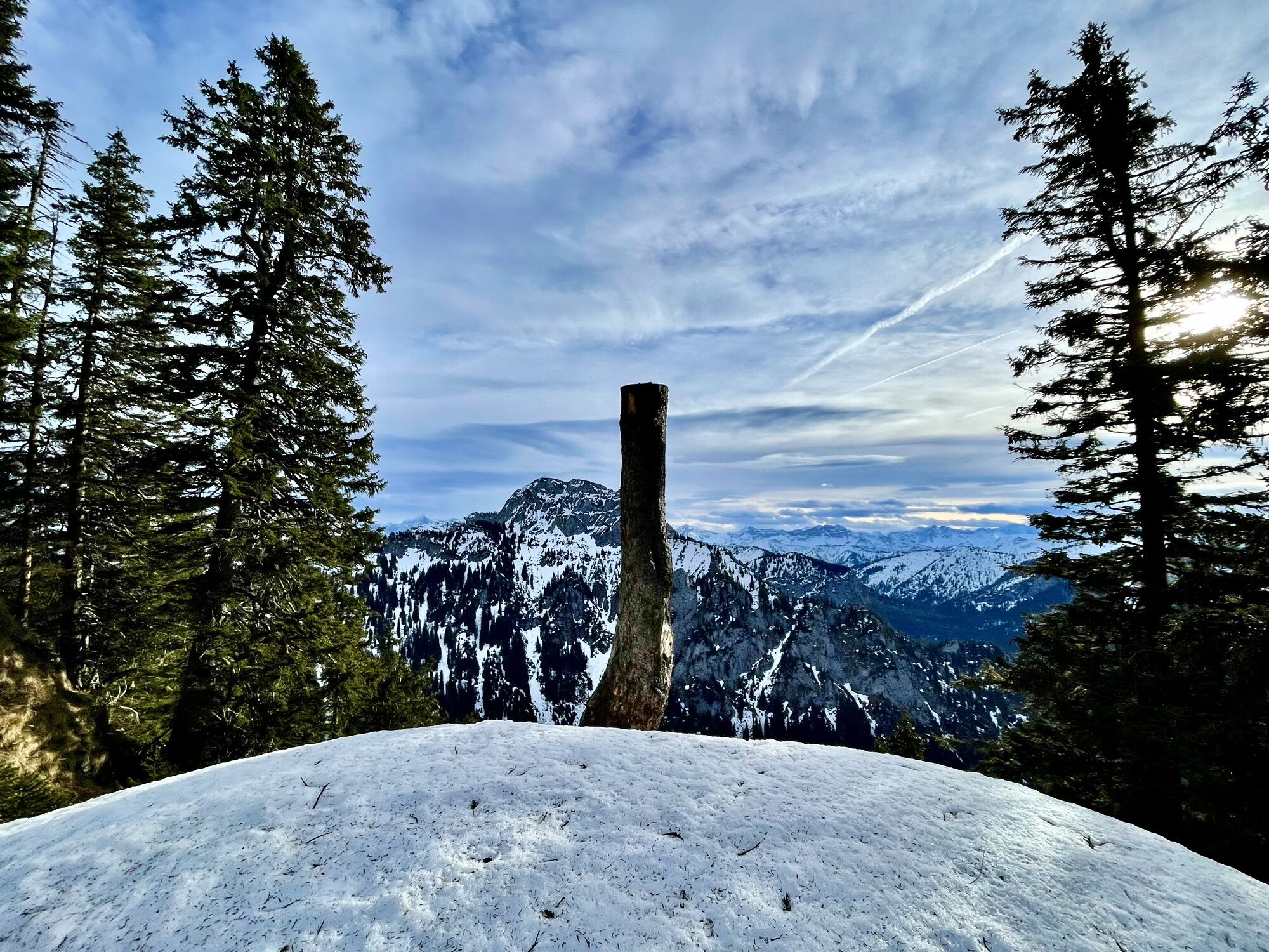
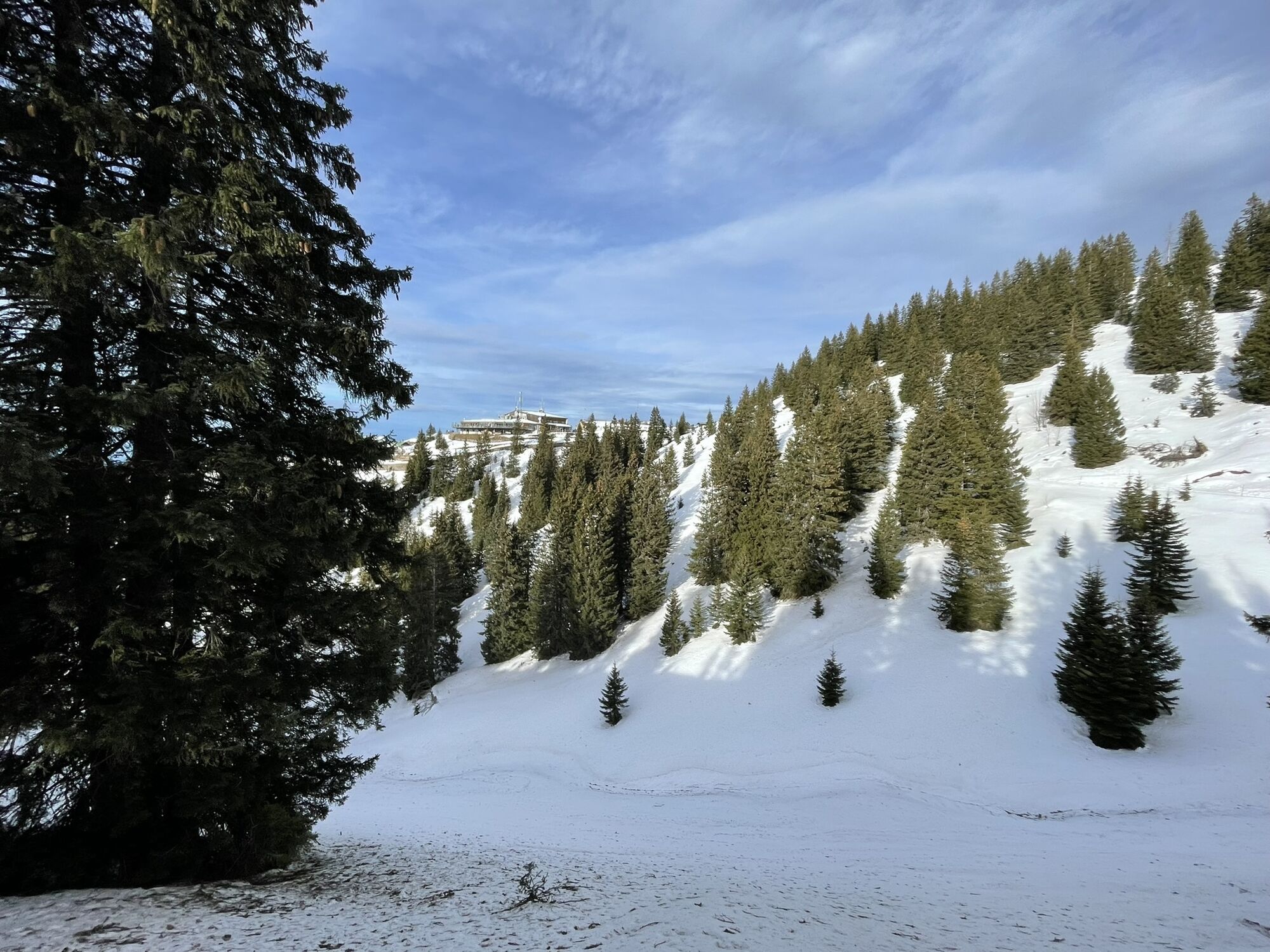
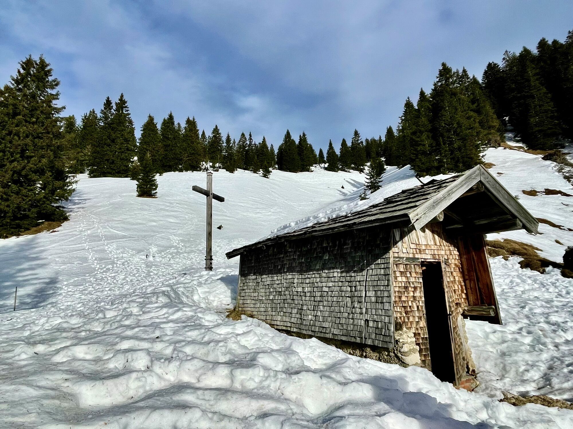
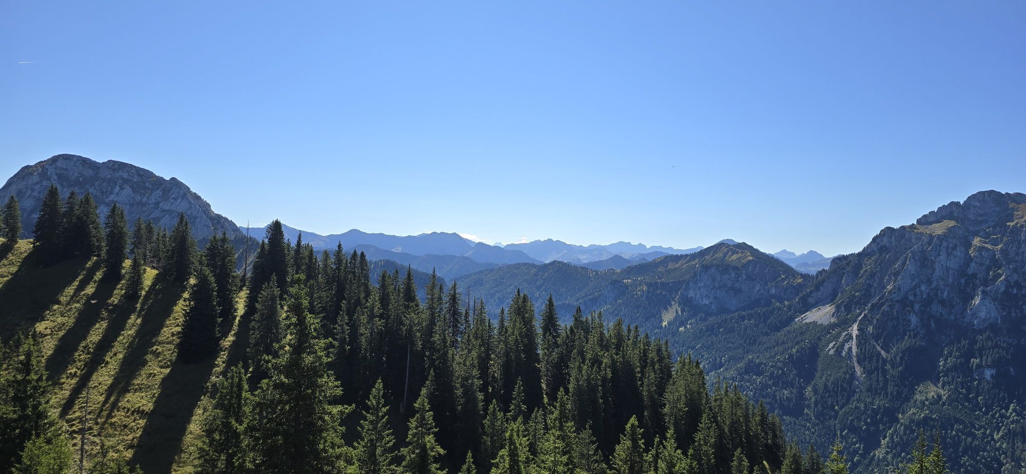
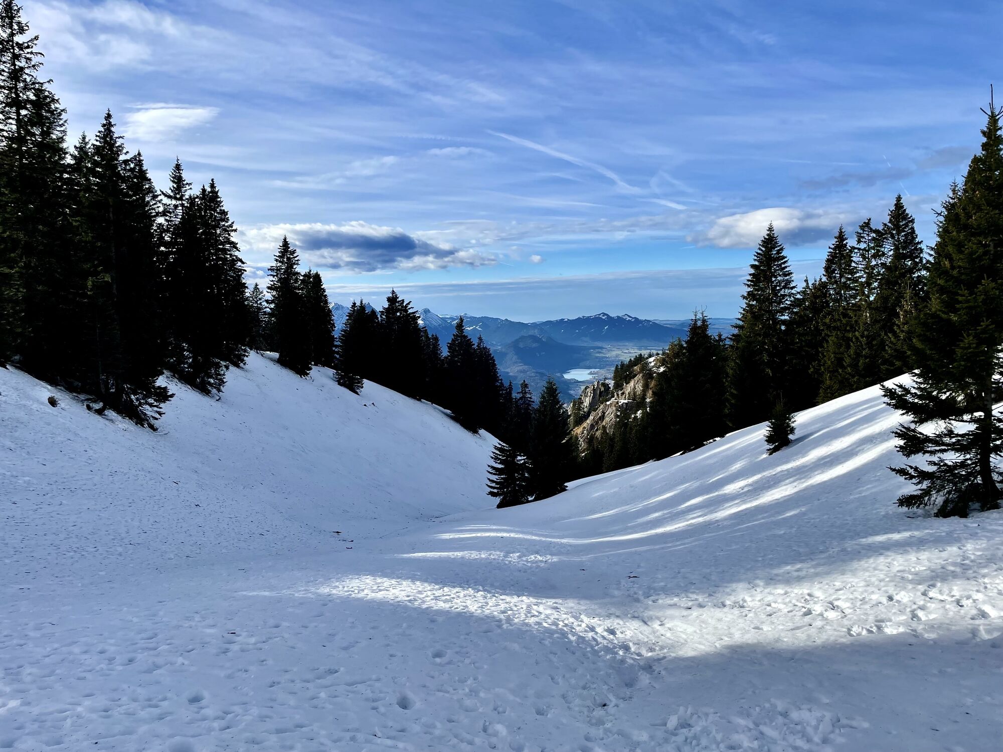
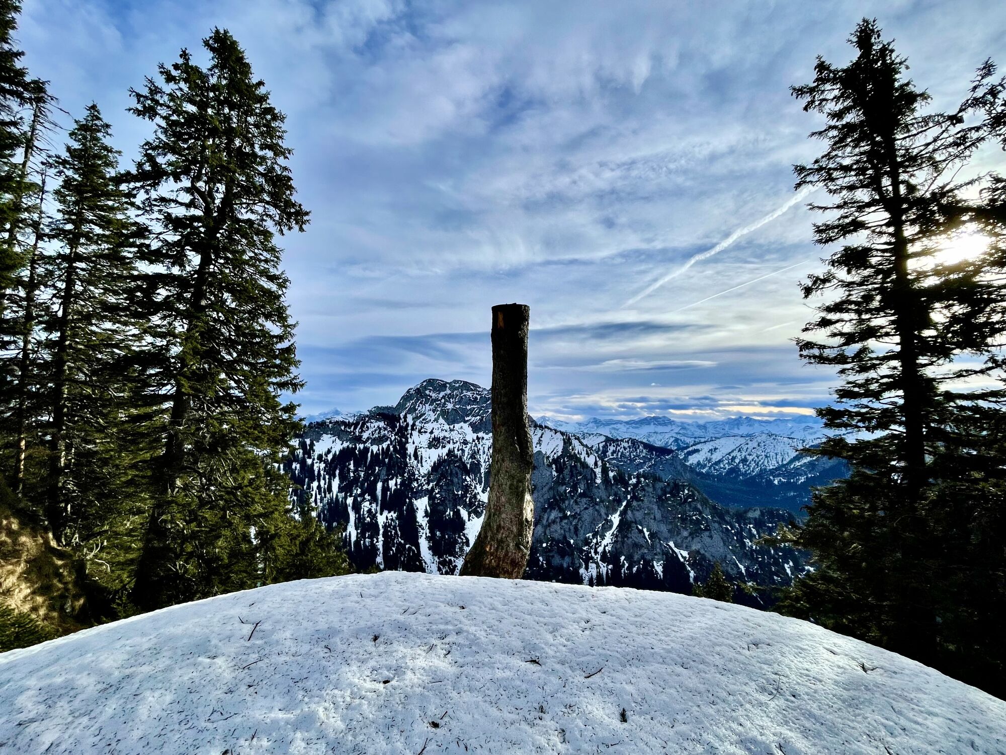
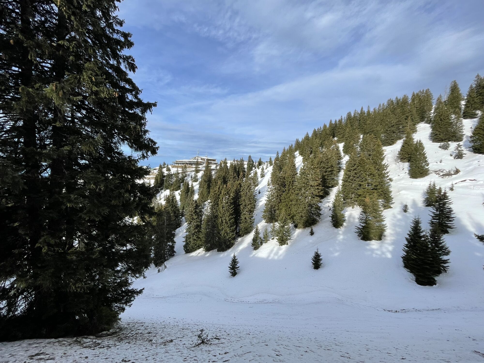
A wild and romantic mountain hike with a varied route and cozy refreshment stops at Allgäu huts. A classic among the mountain tours around Schwangau, it can be shortened by a cable car or bus ride. Because...
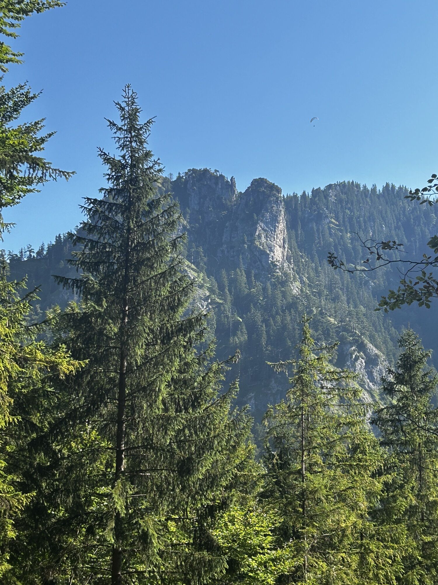
A wild and romantic mountain hike with a varied route and cozy refreshment stops at Allgäu huts. A classic among the mountain tours around Schwangau, it can be shortened by a cable car or bus ride. Because of the extraordinary landscape, the trail is a must for every stay.

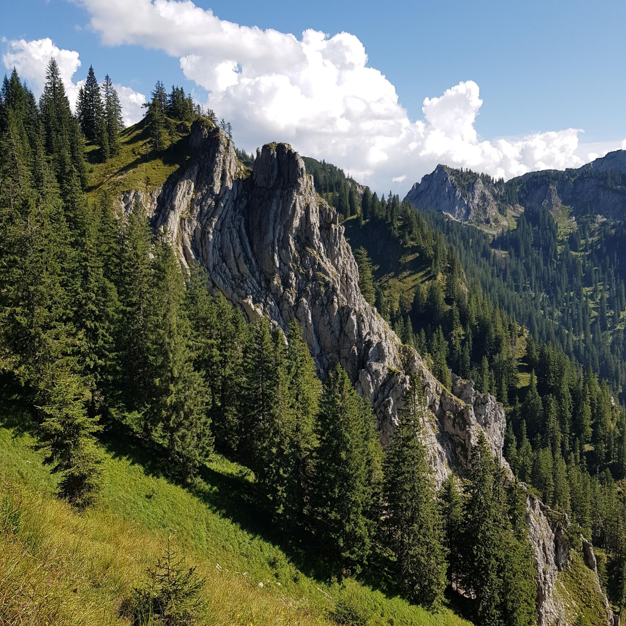
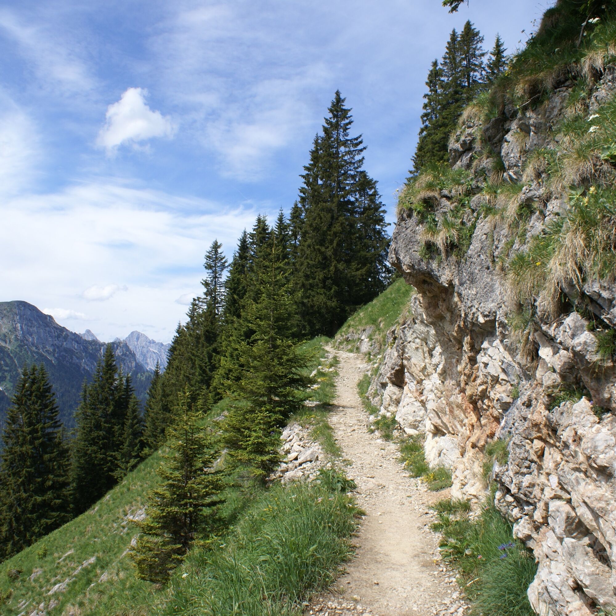
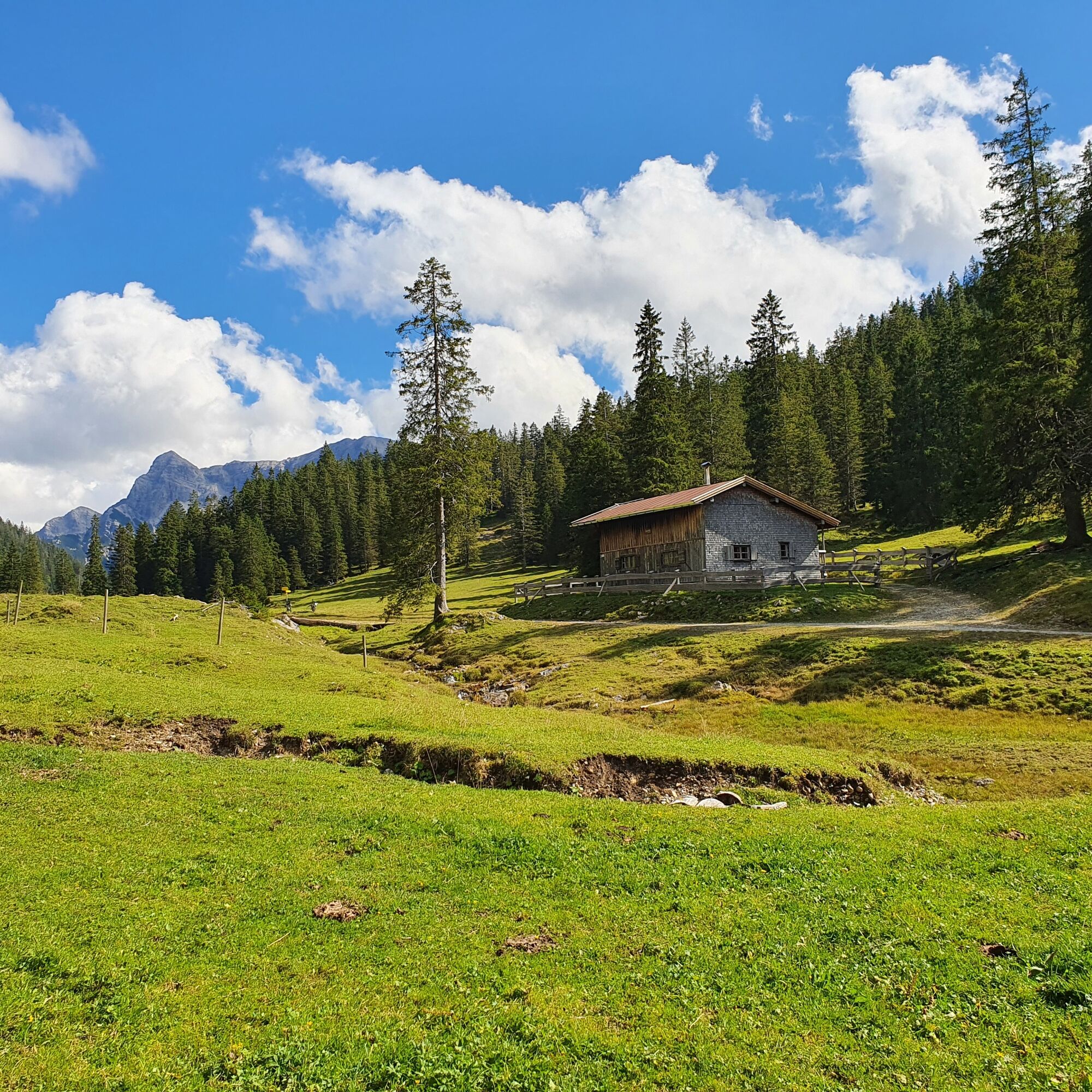
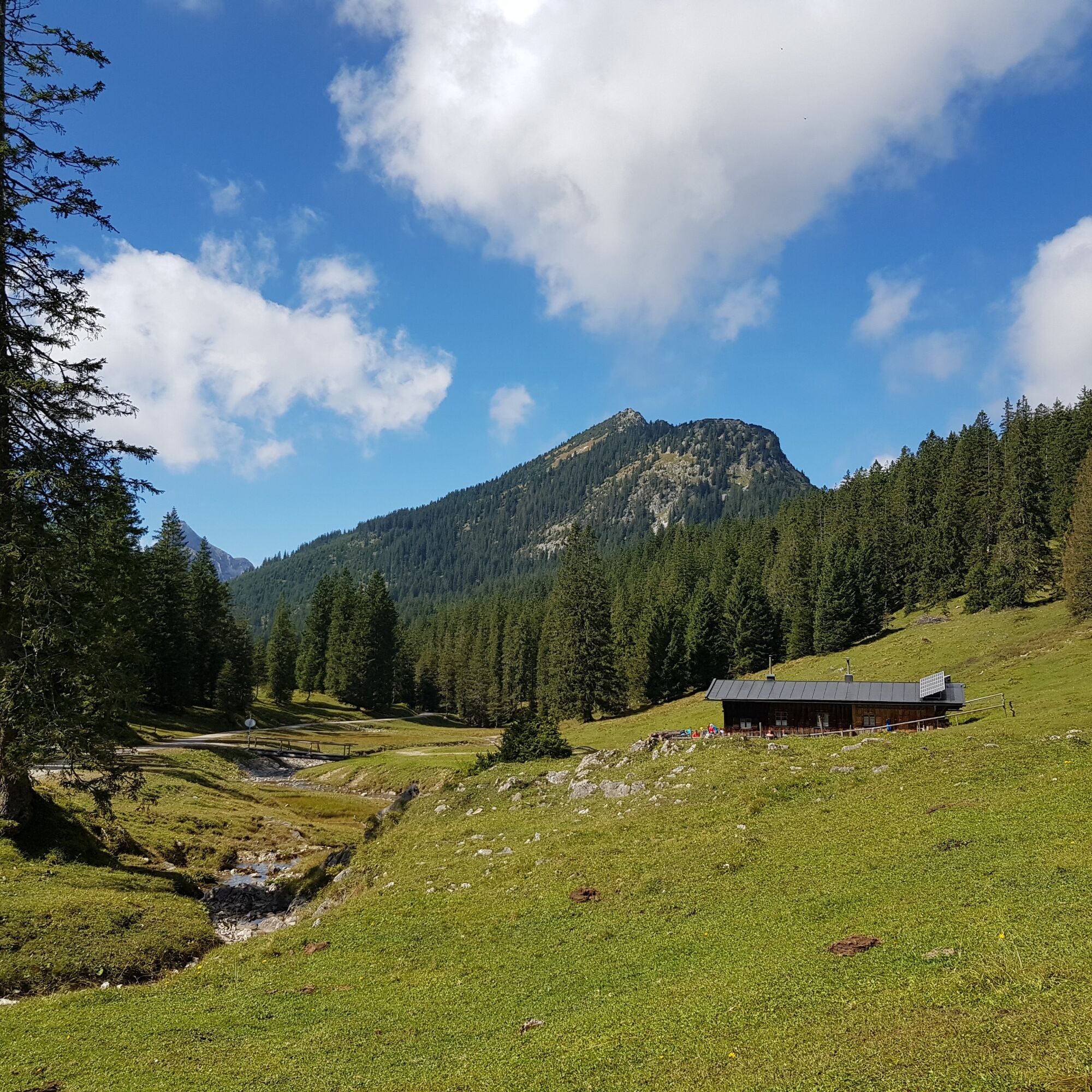
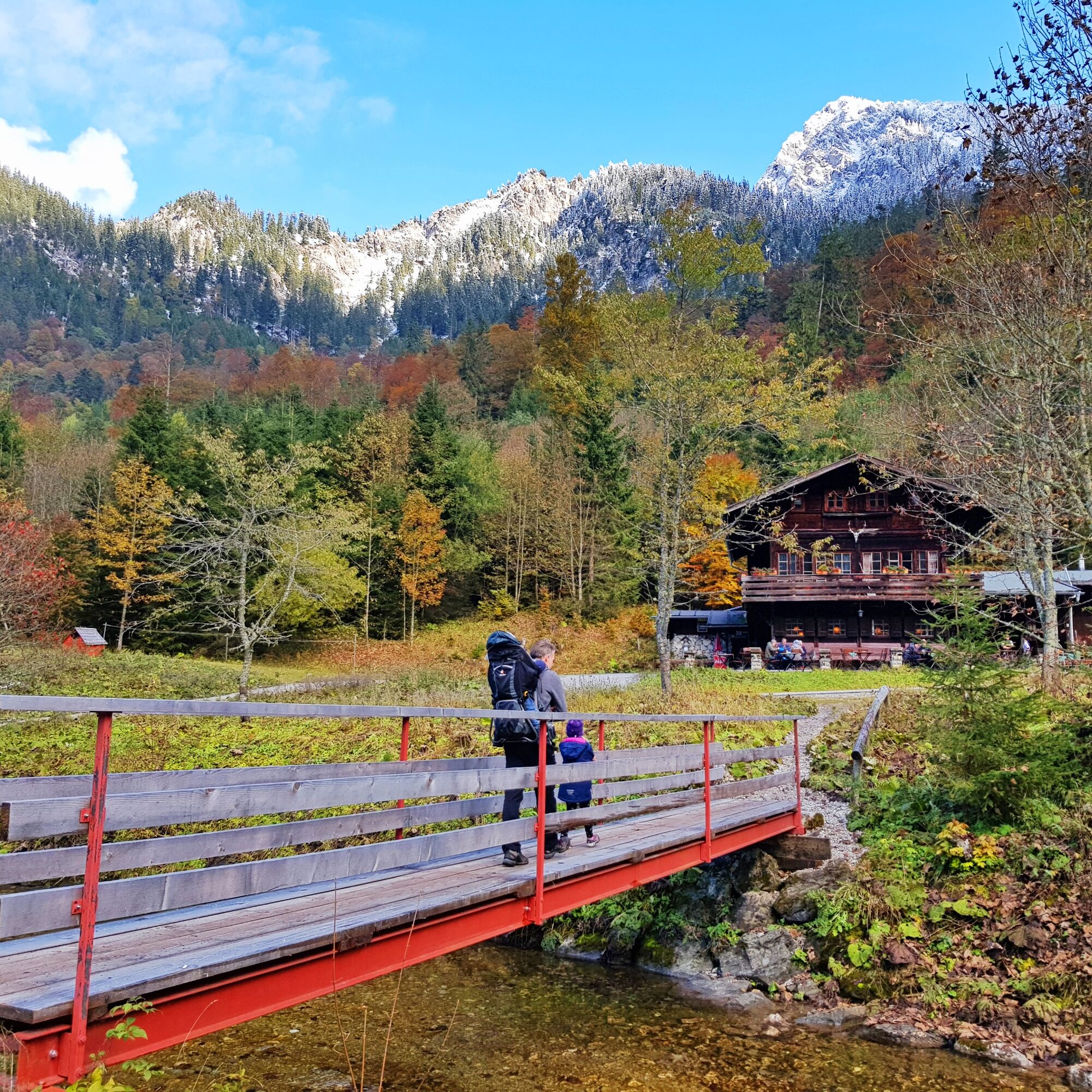

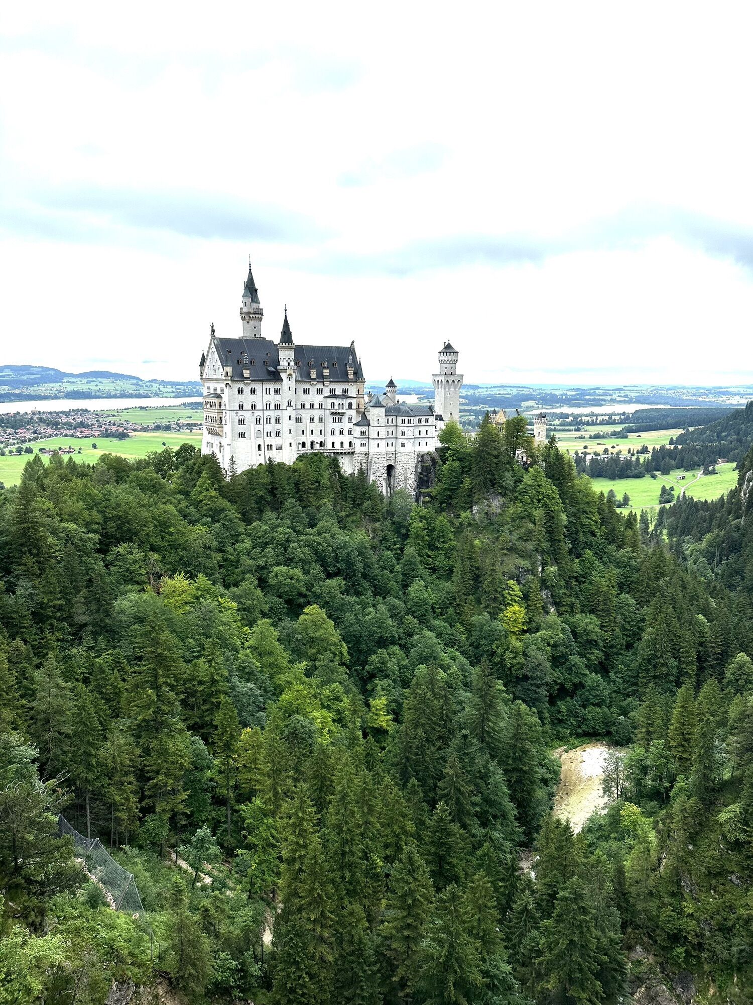
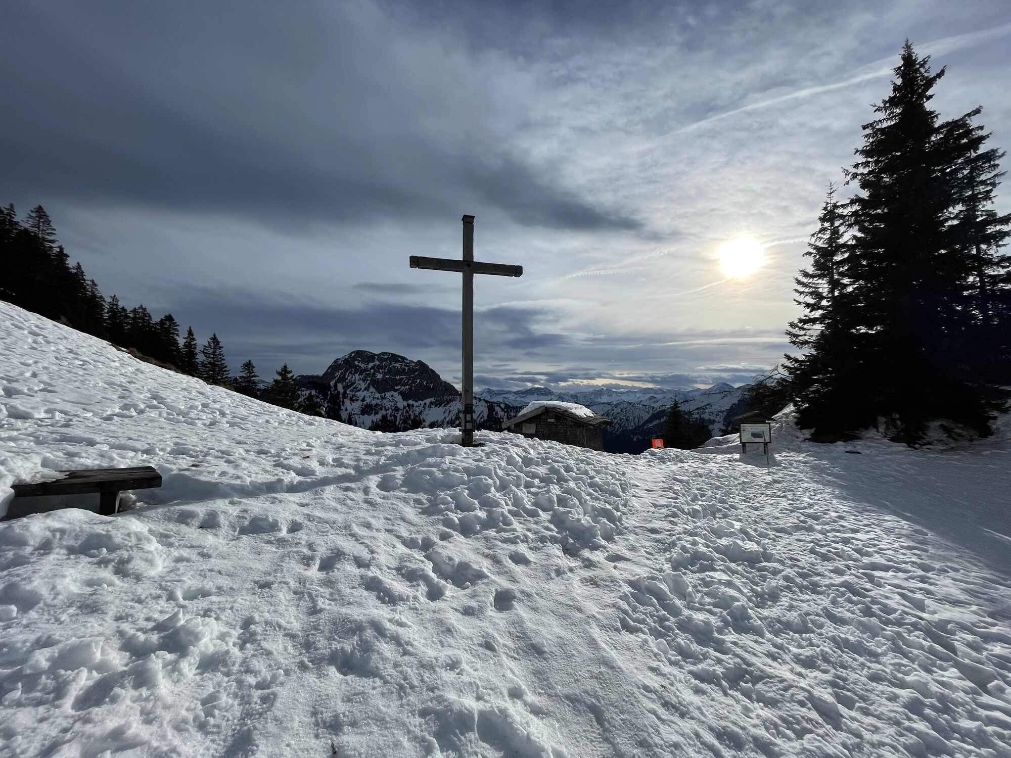
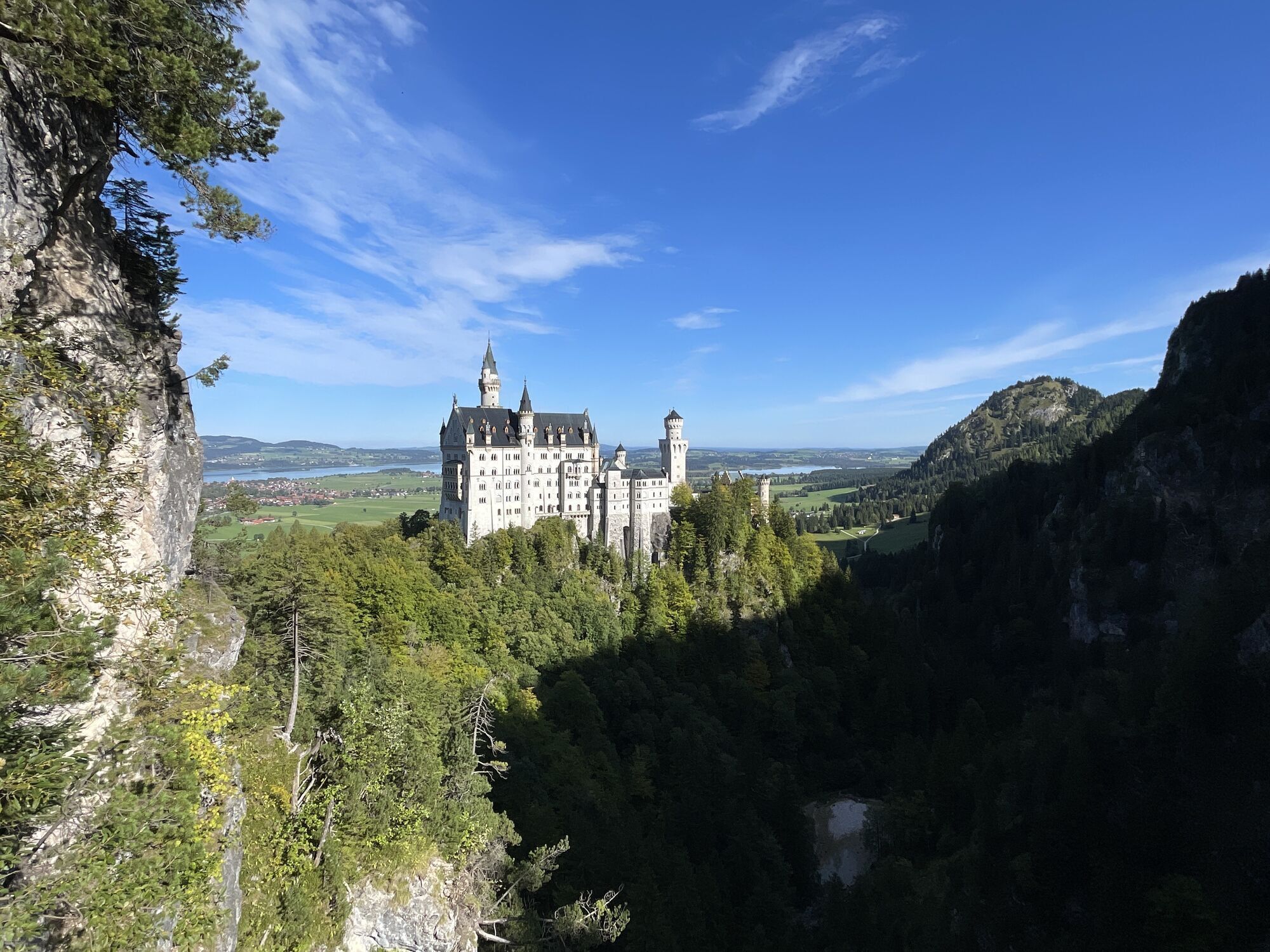
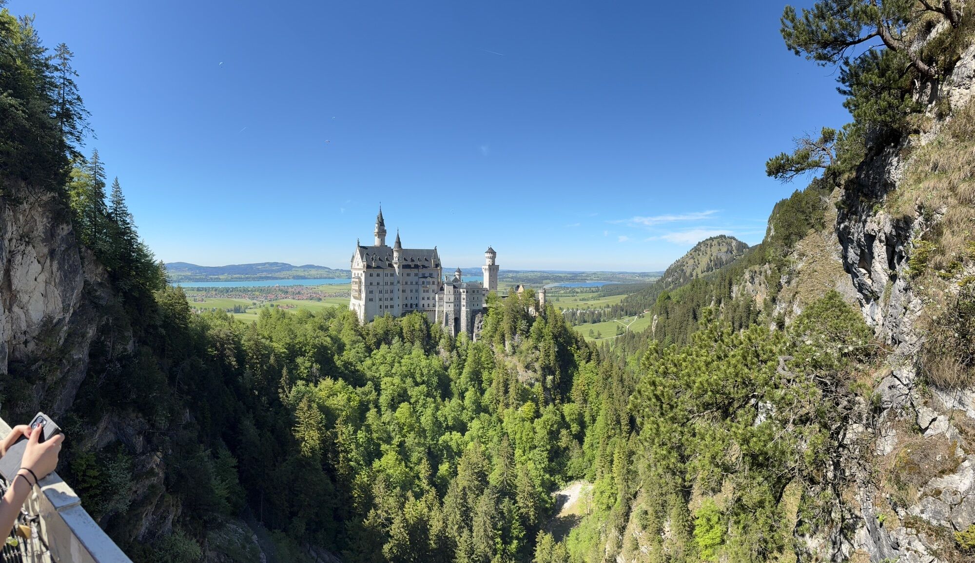
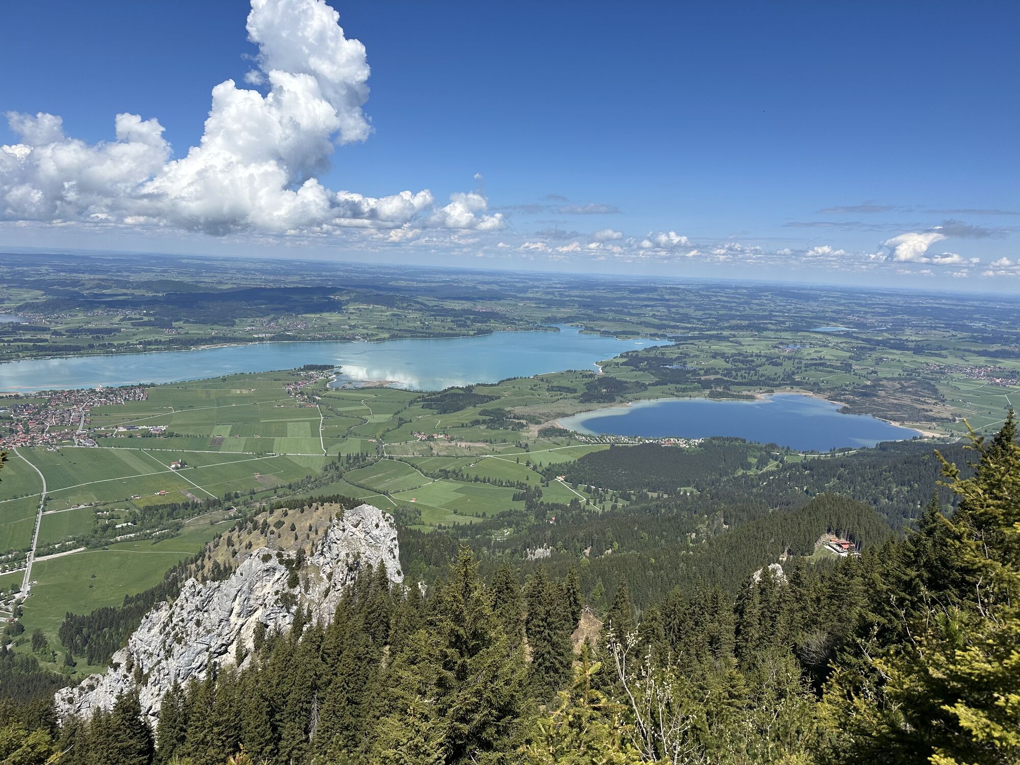
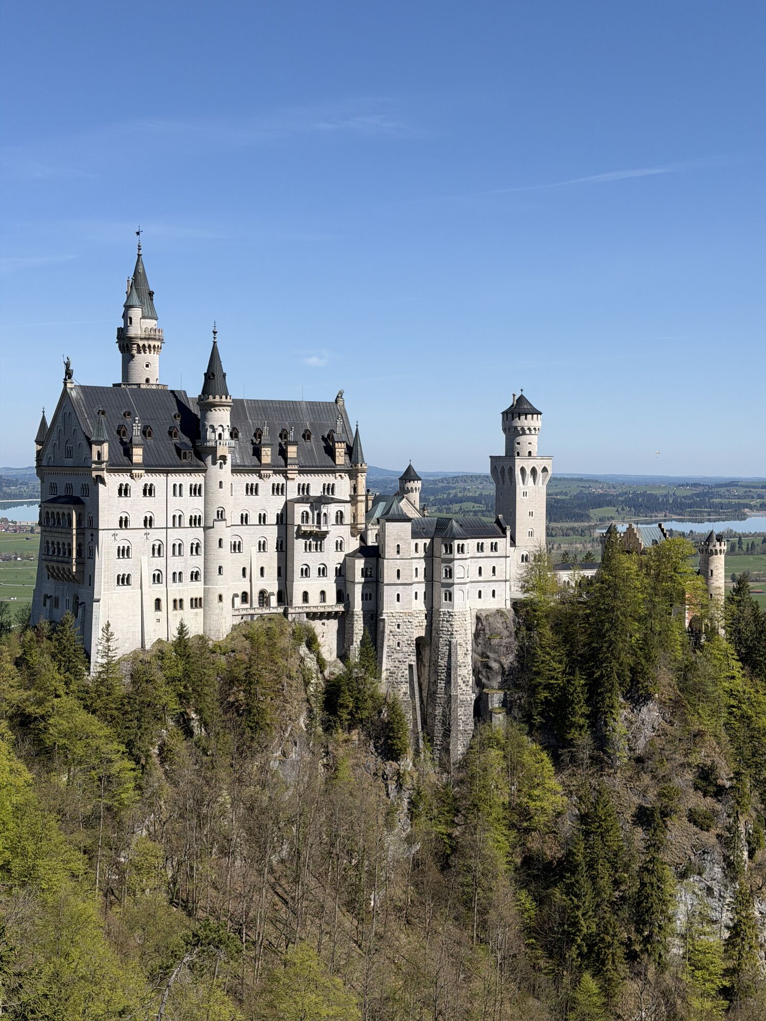
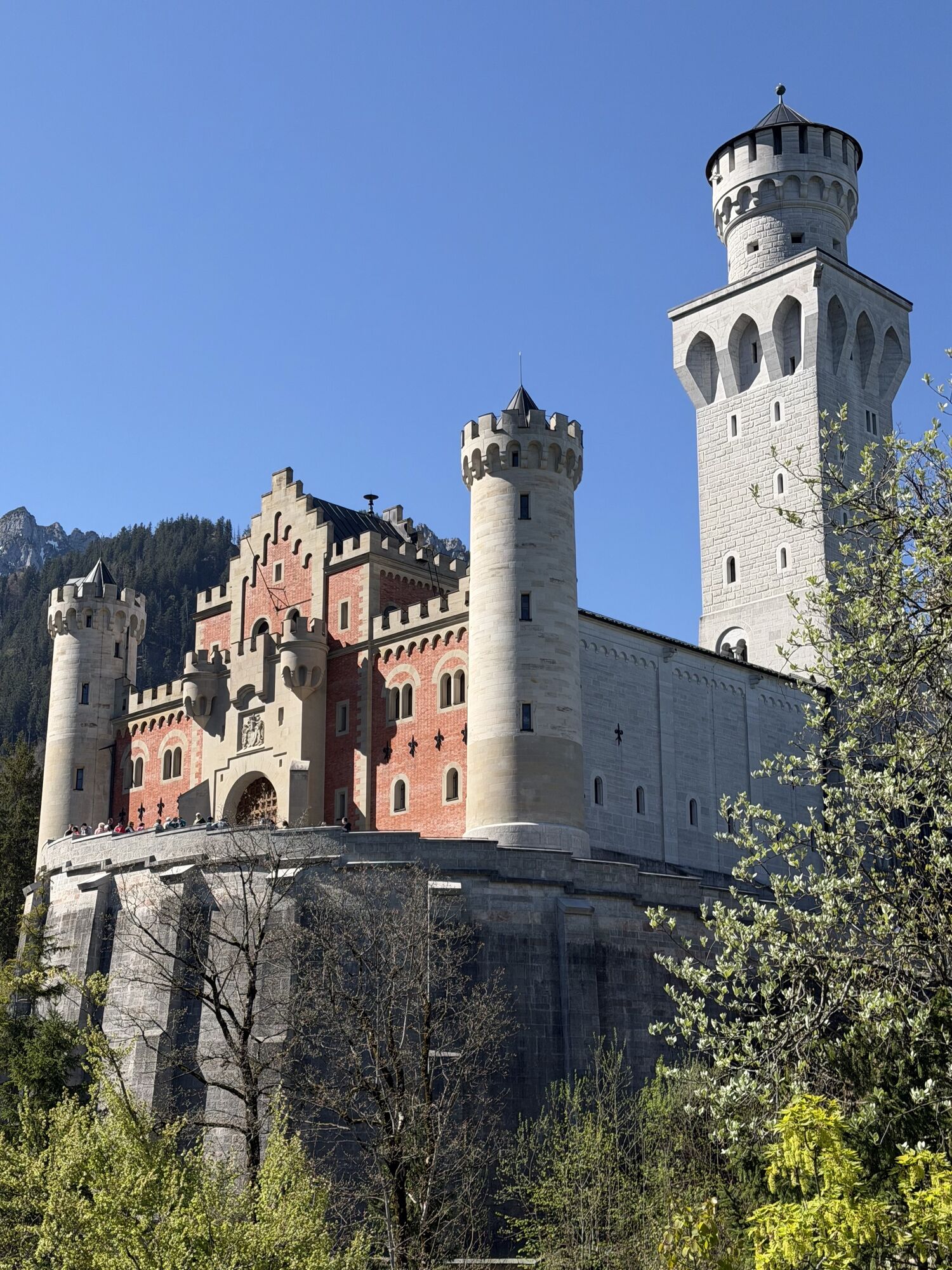
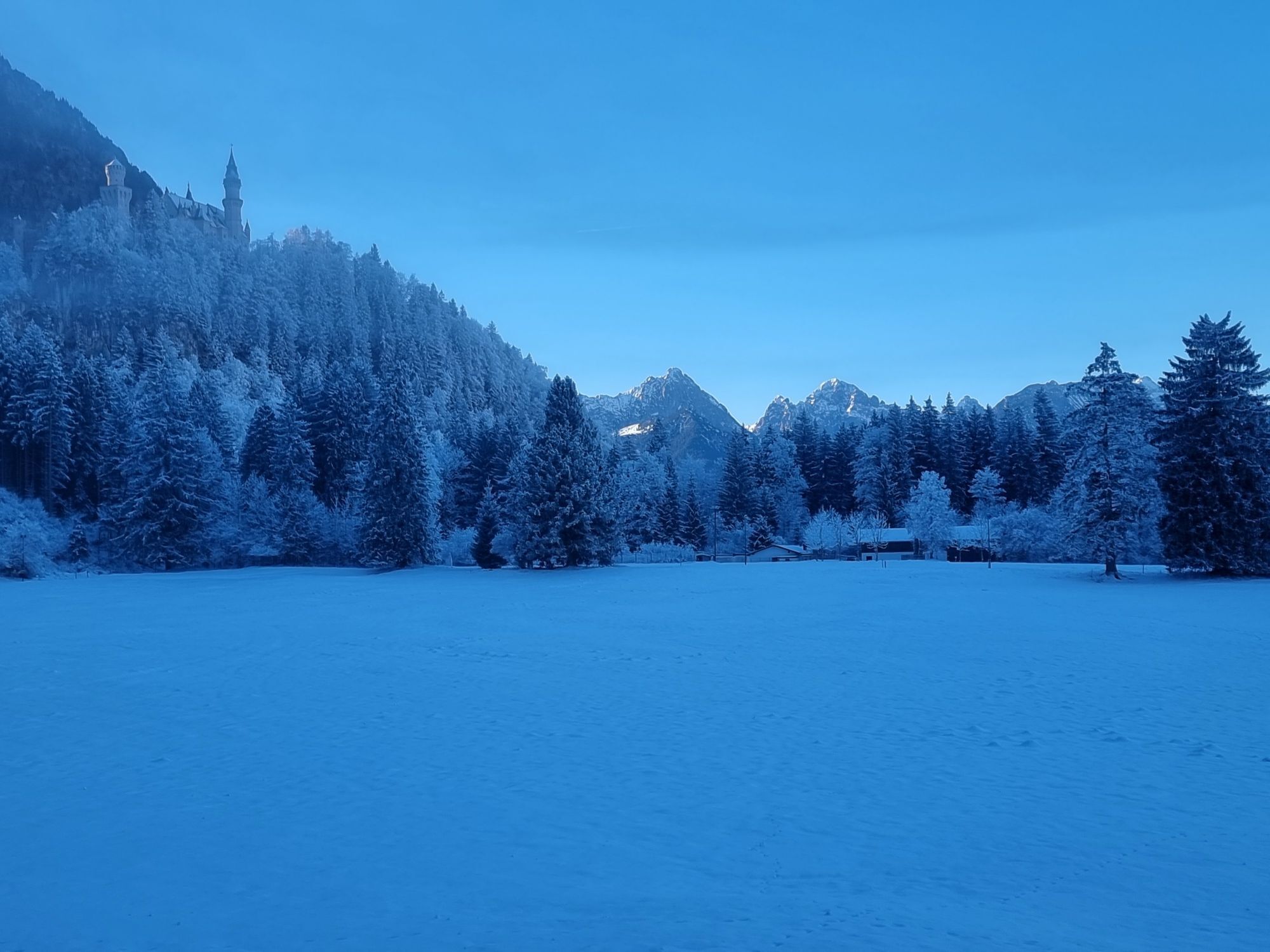
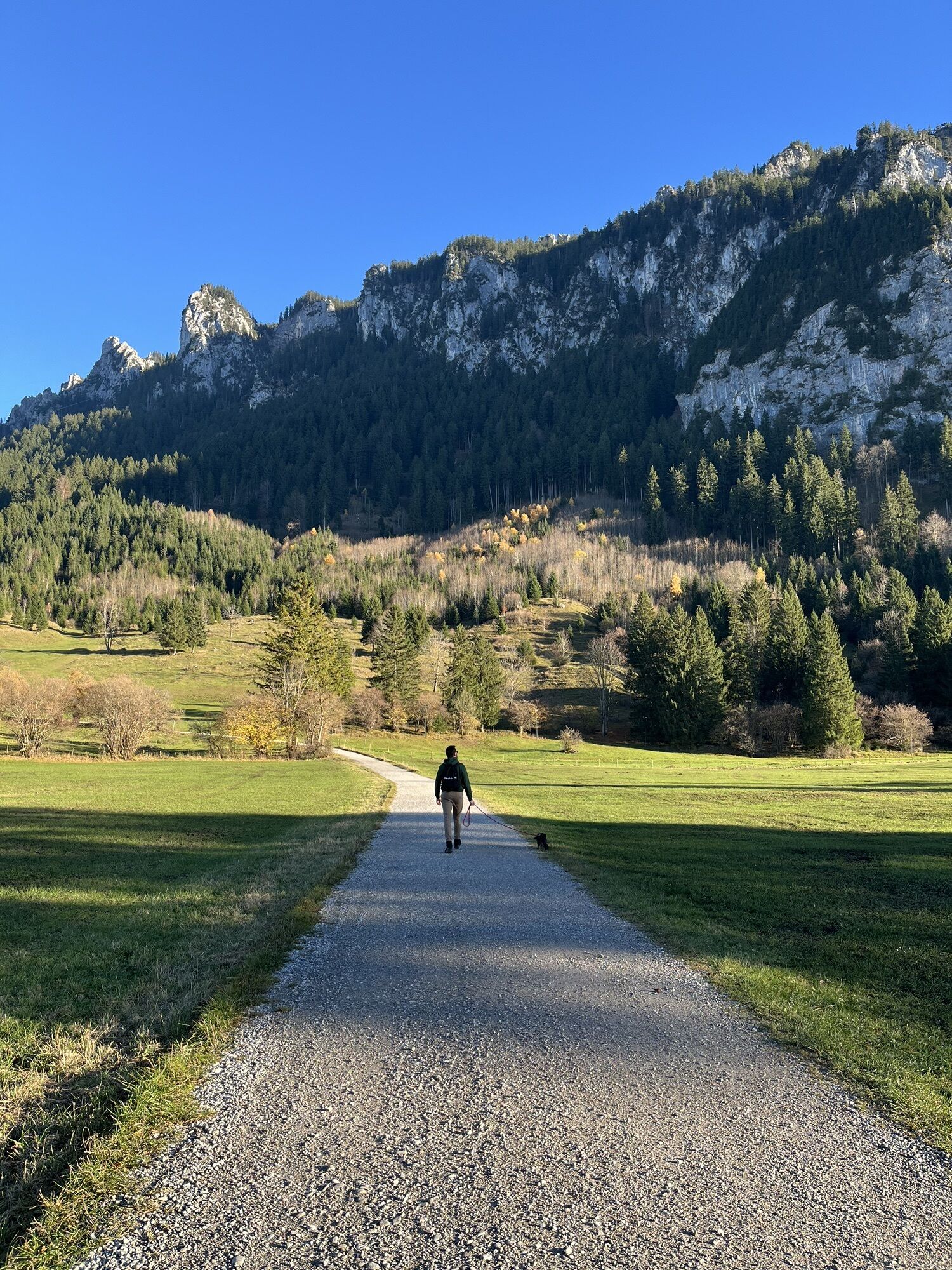
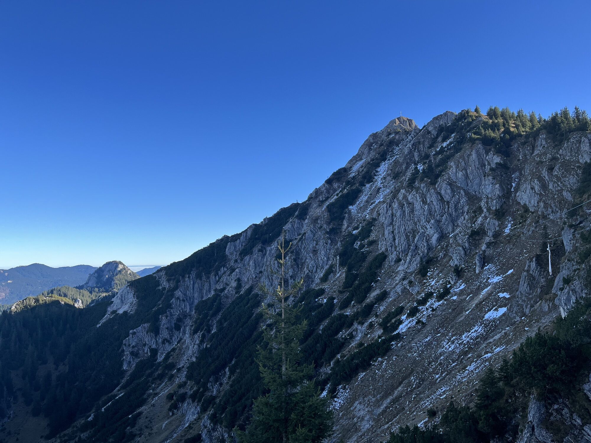
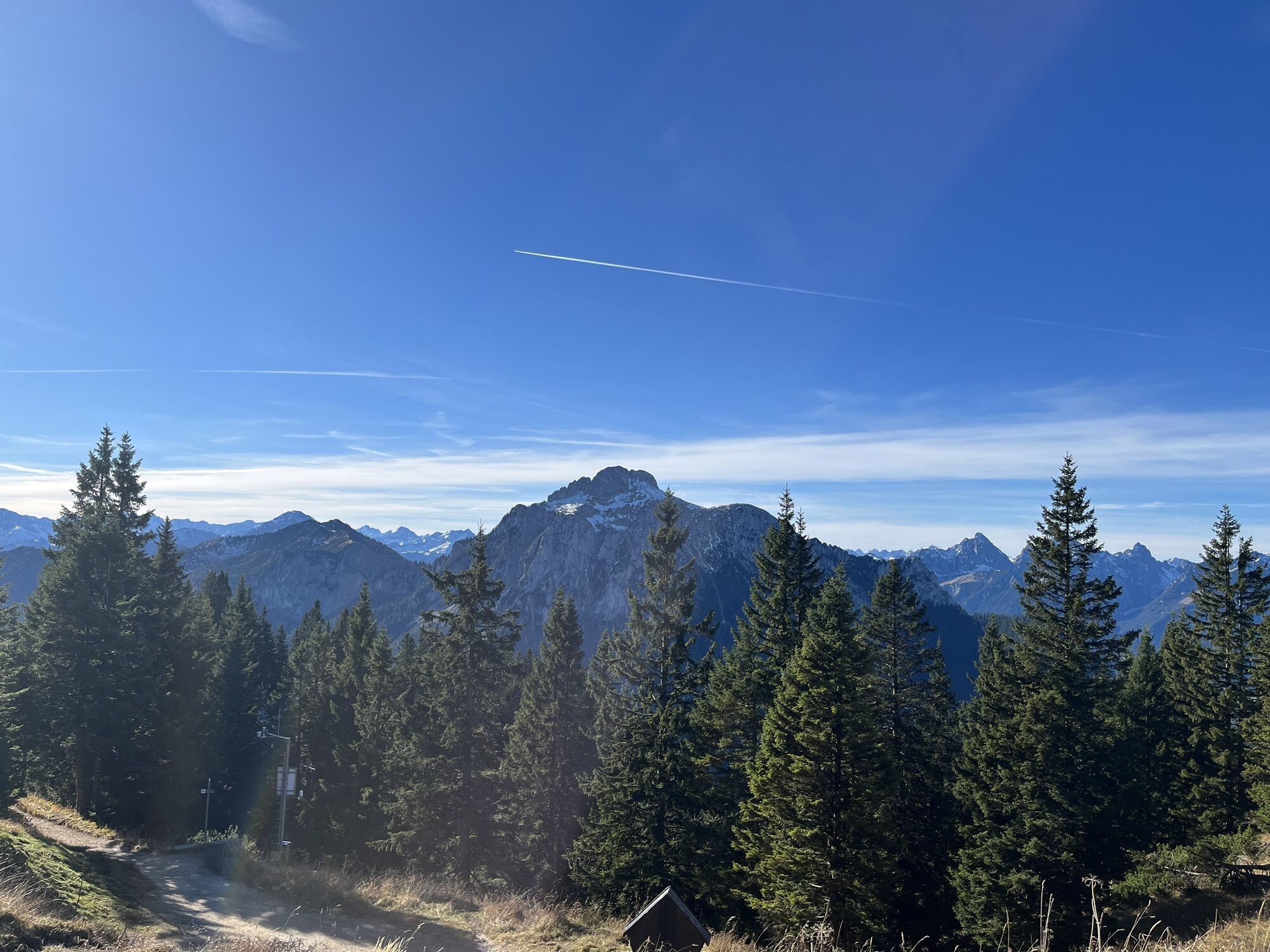
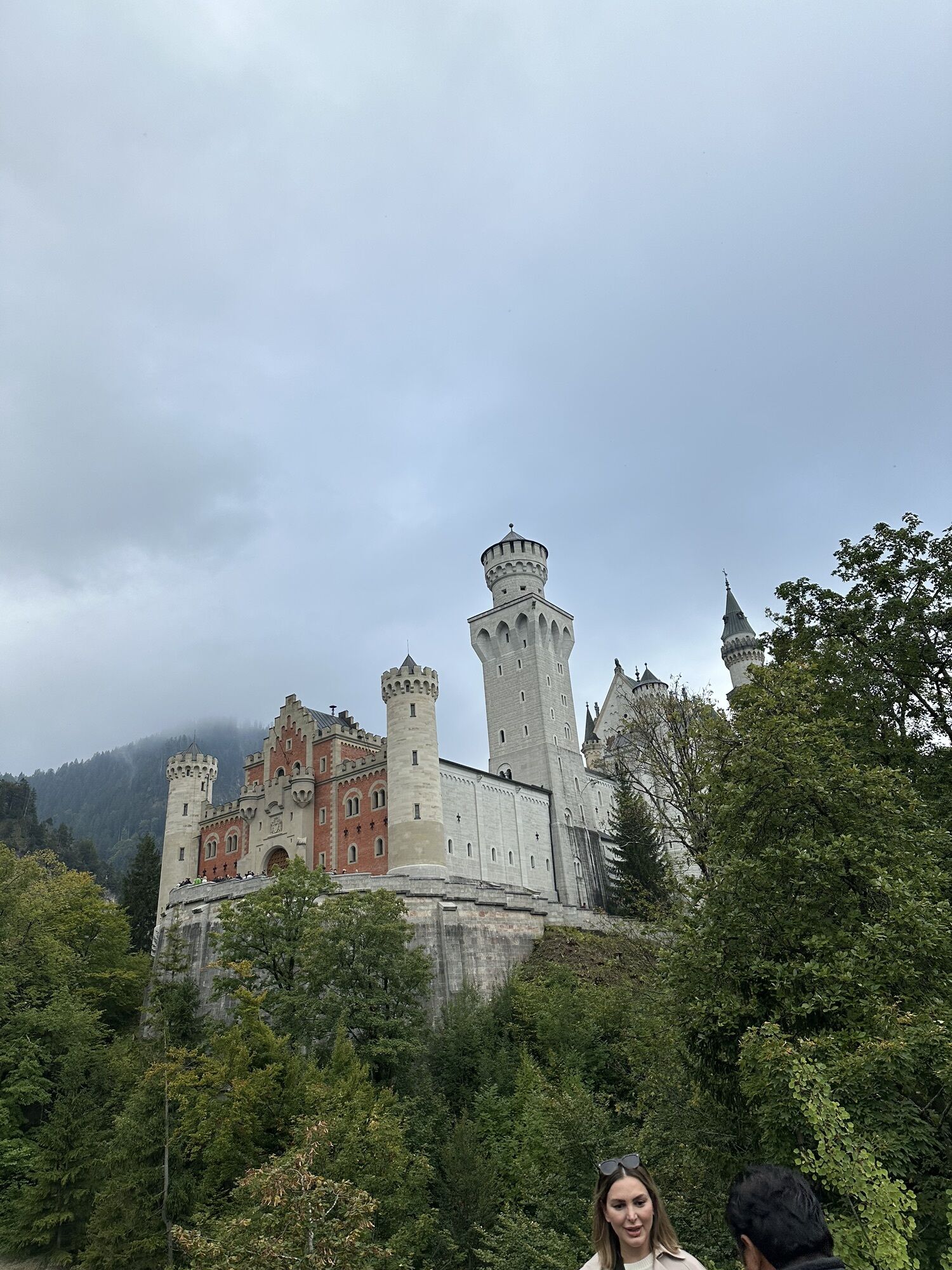
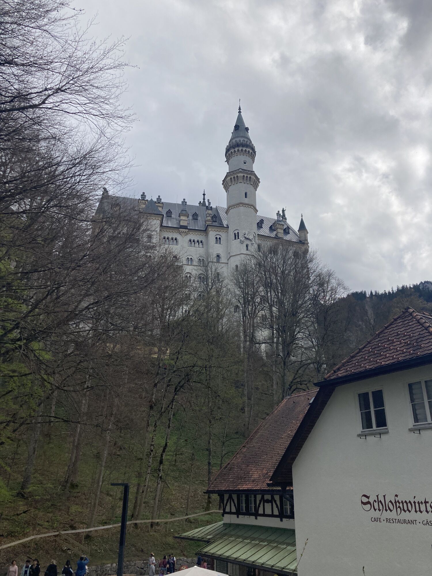
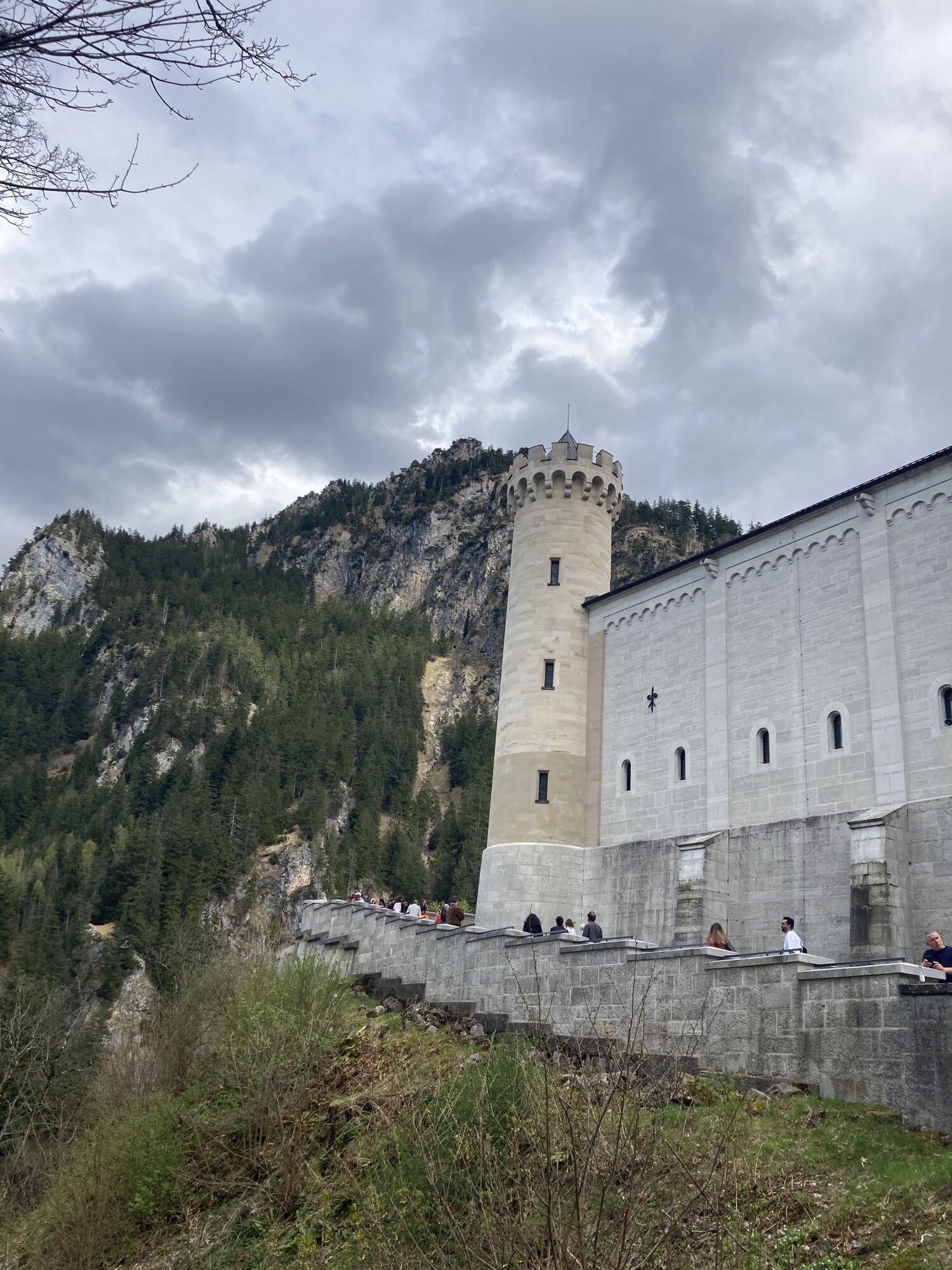
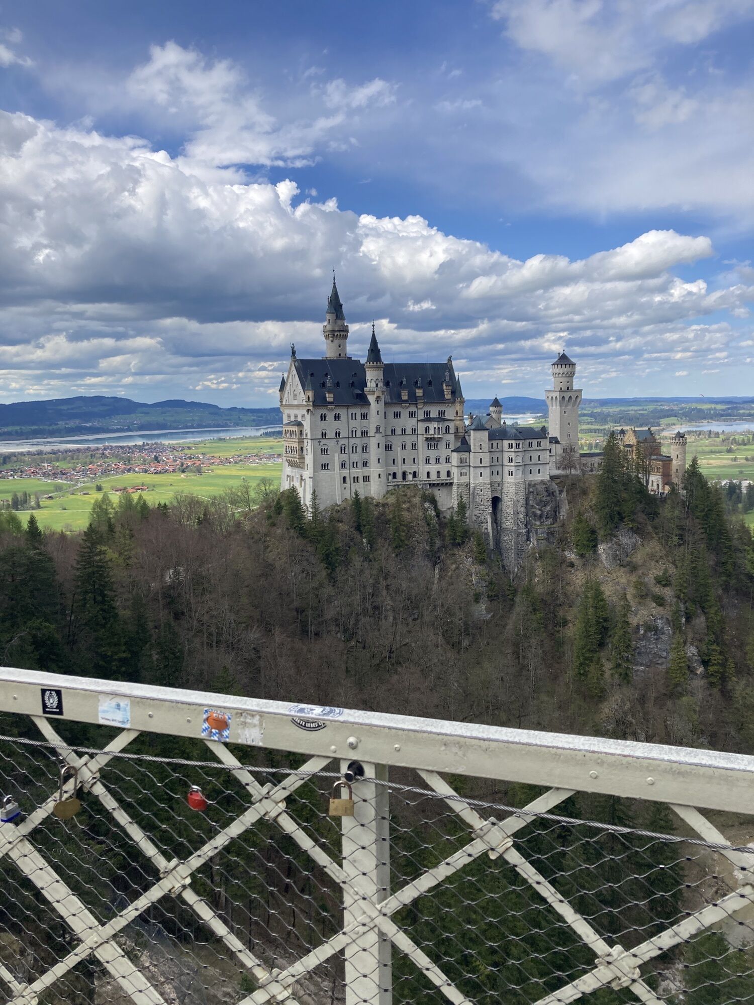
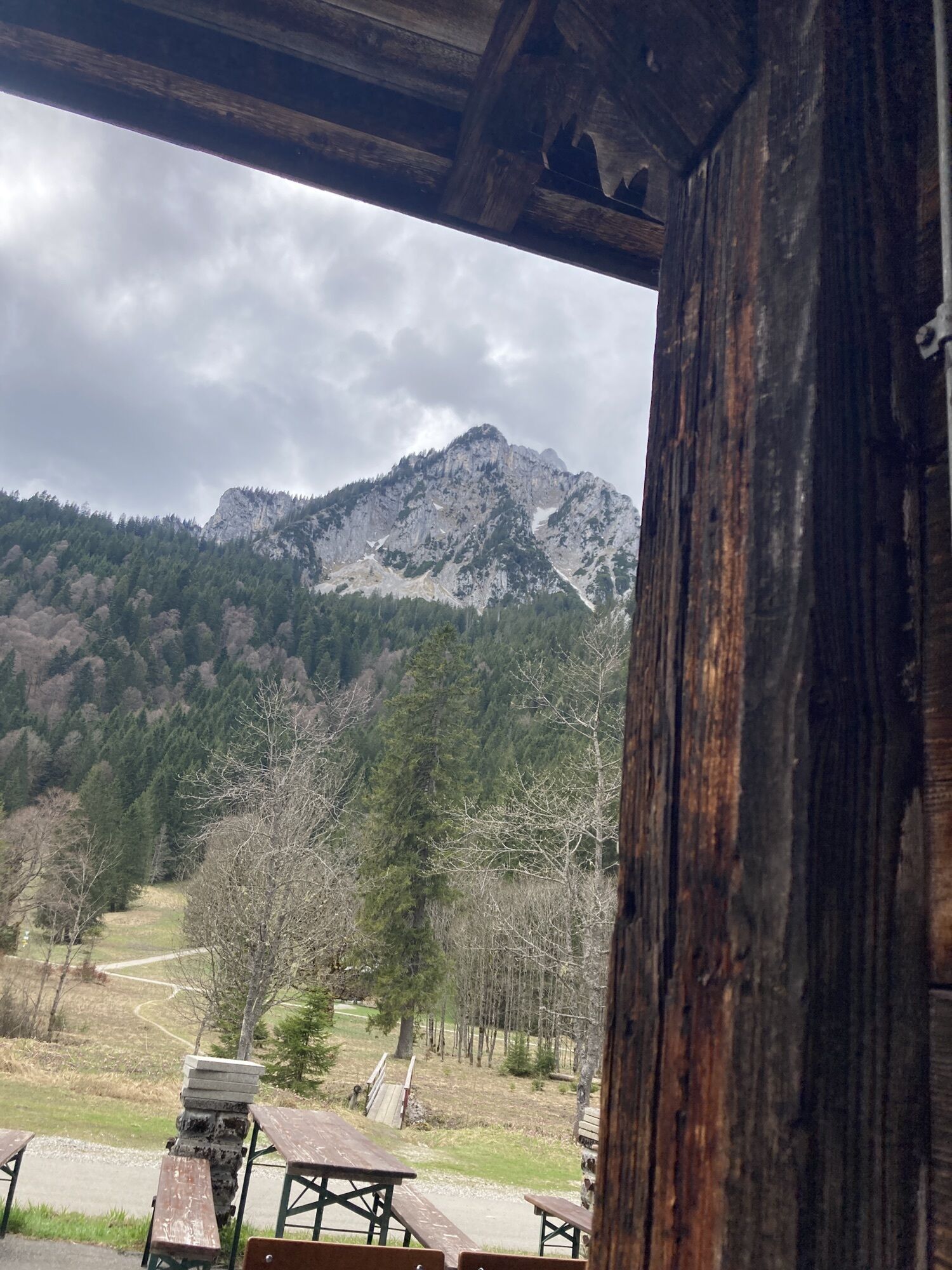
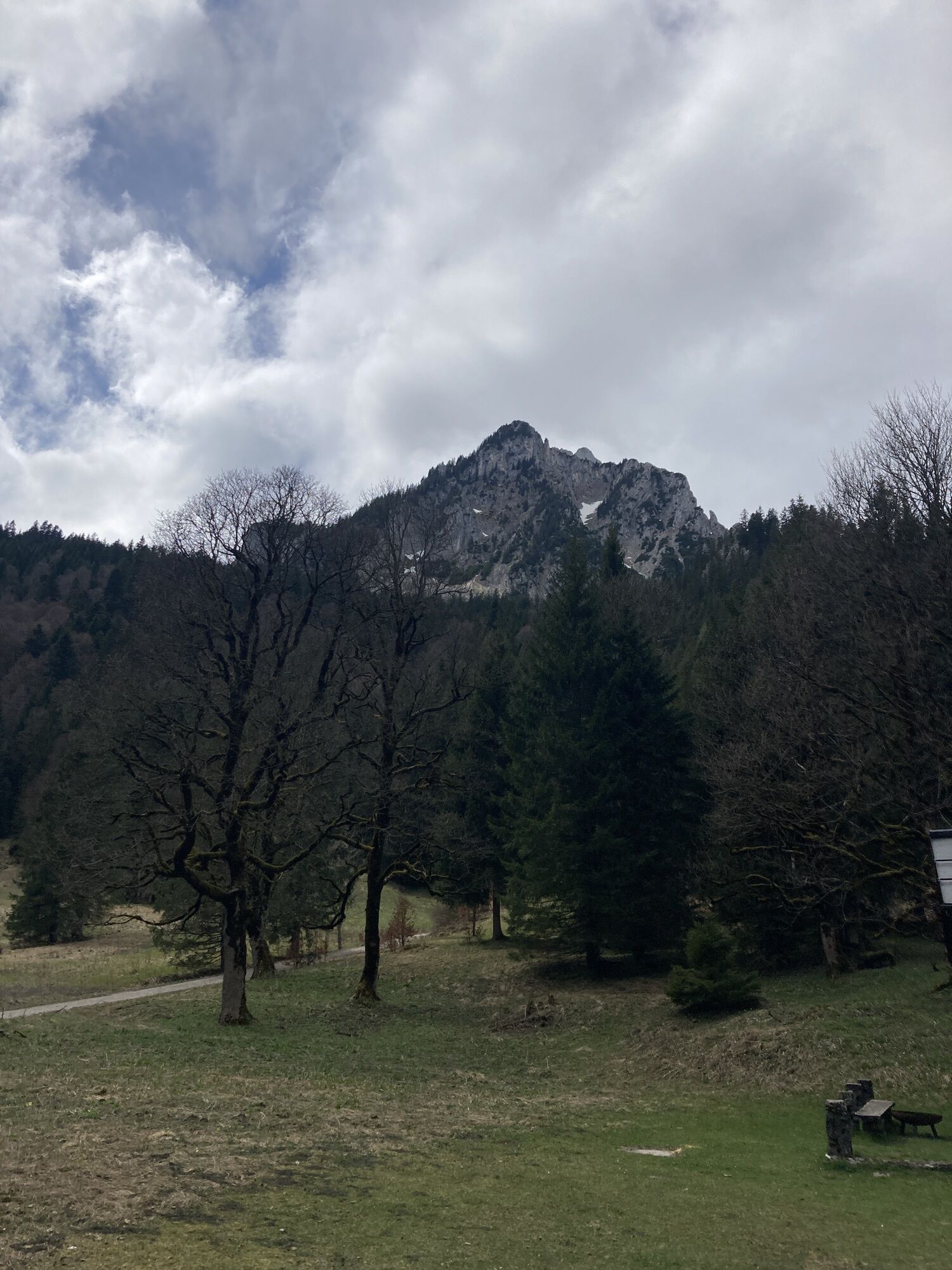
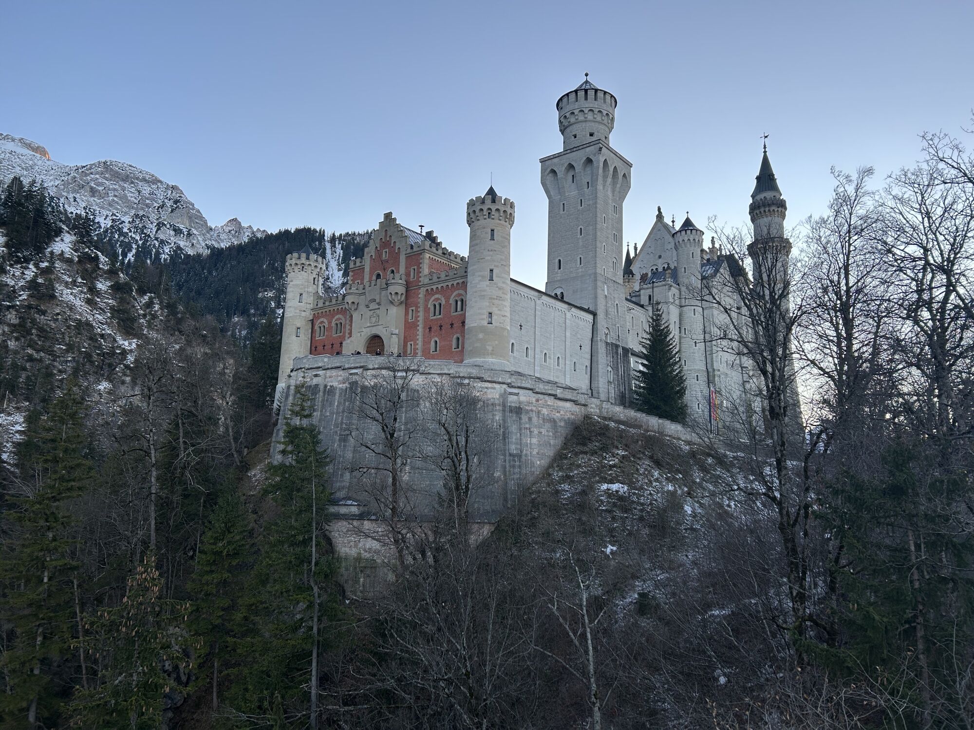
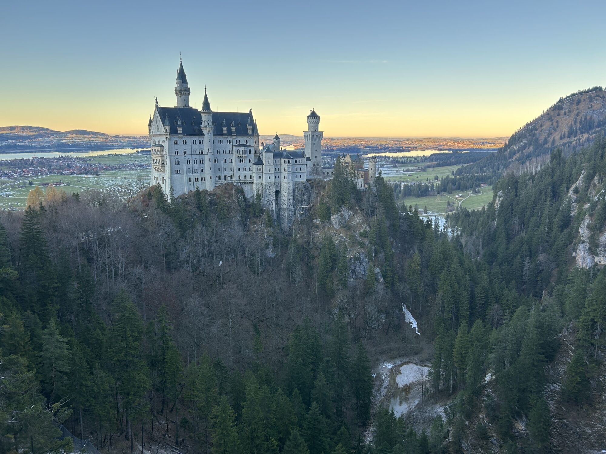
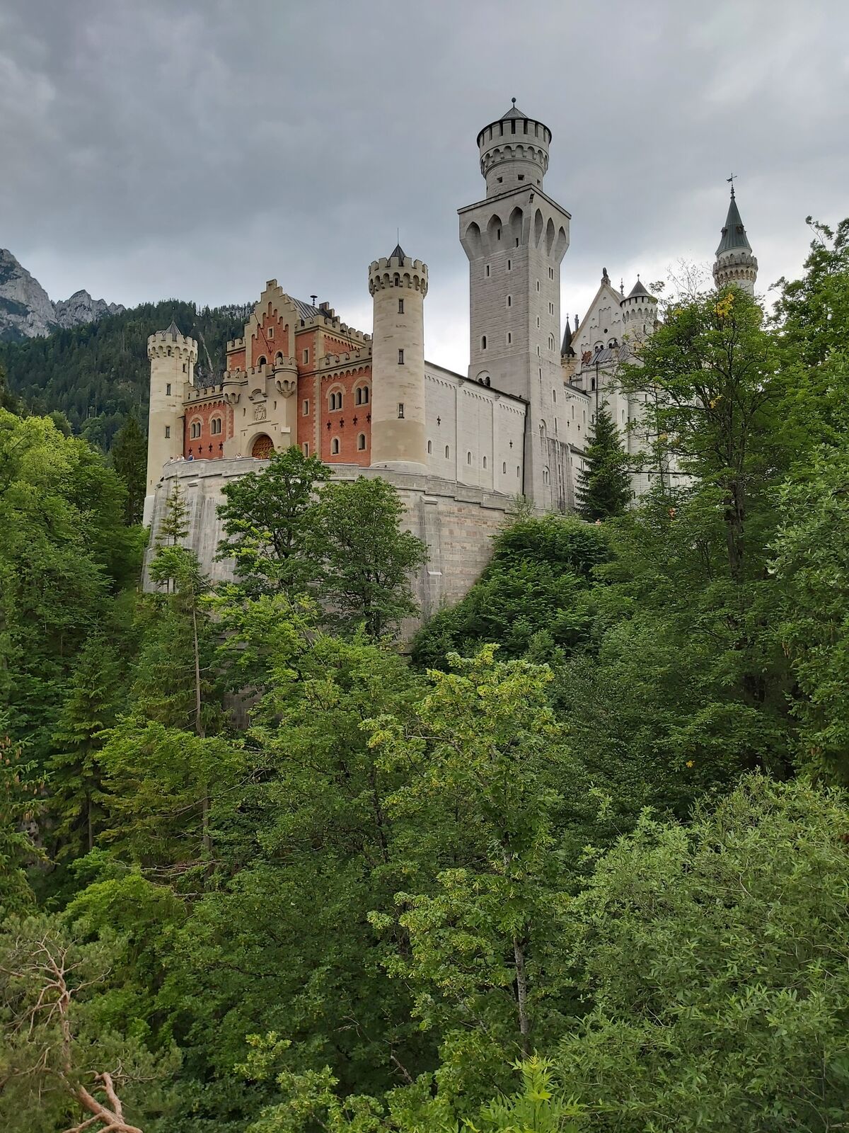
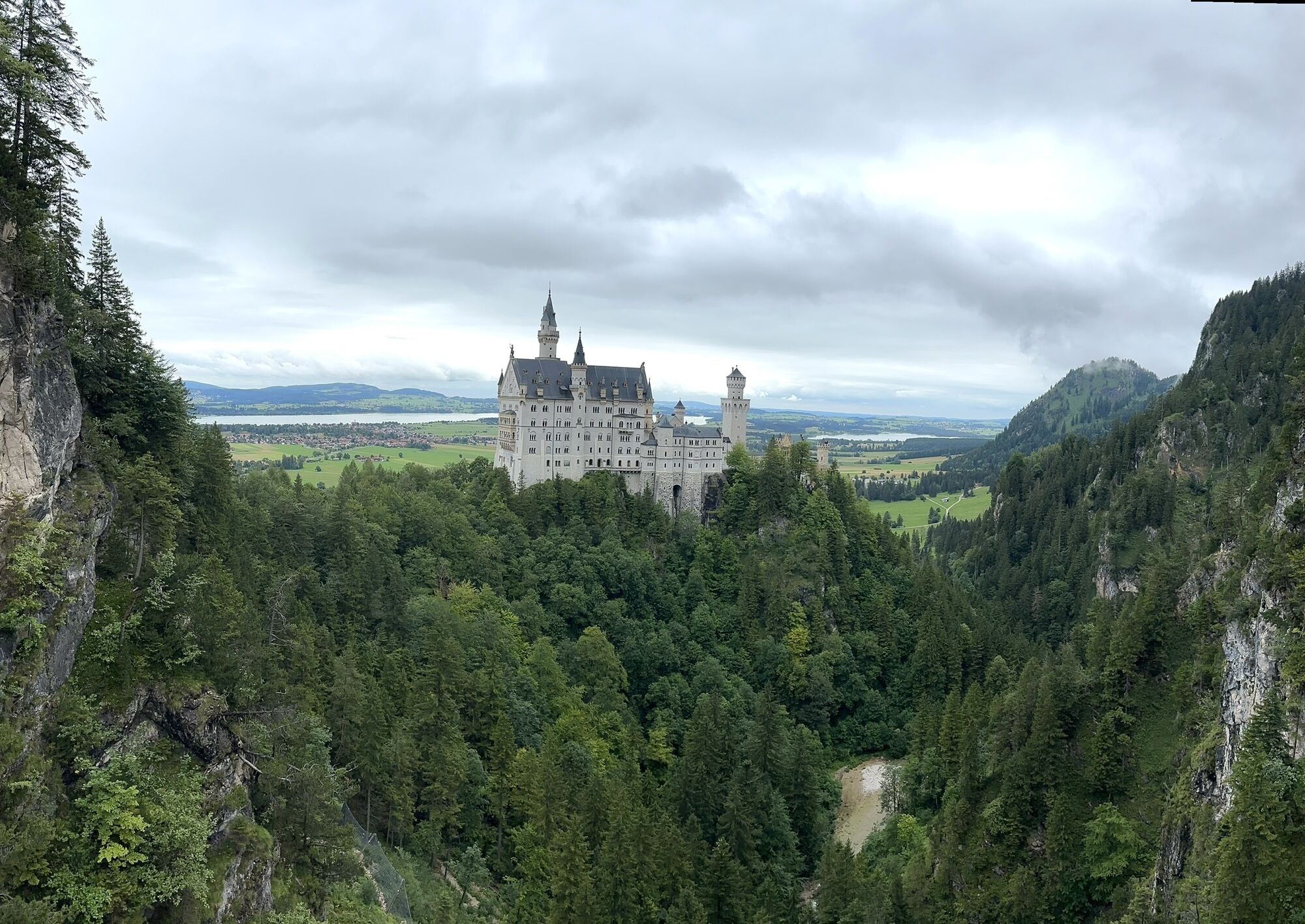
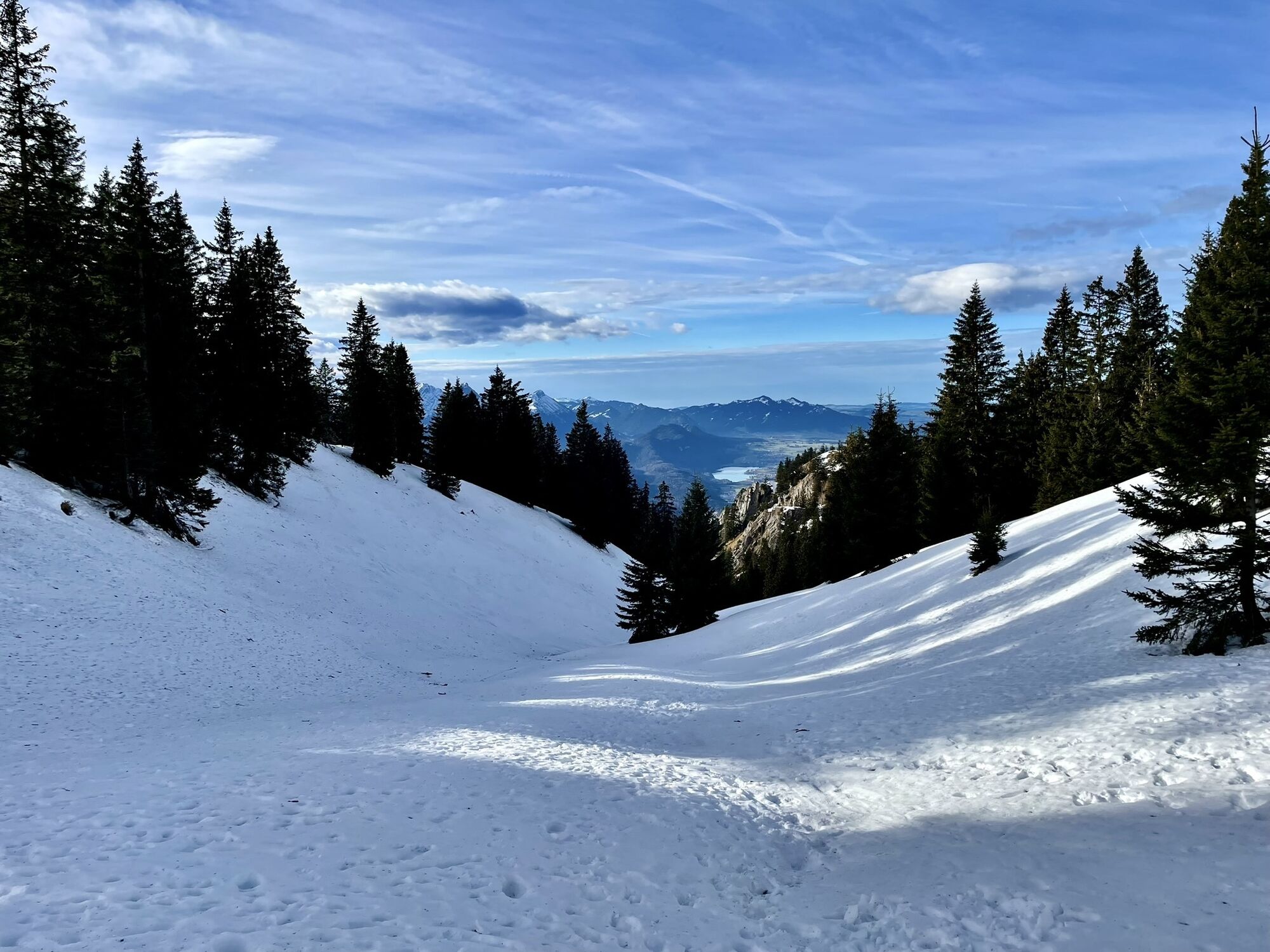
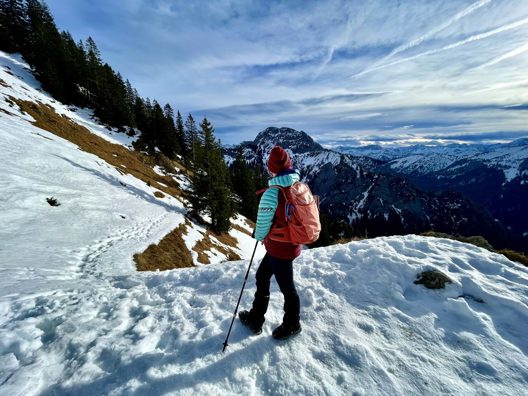
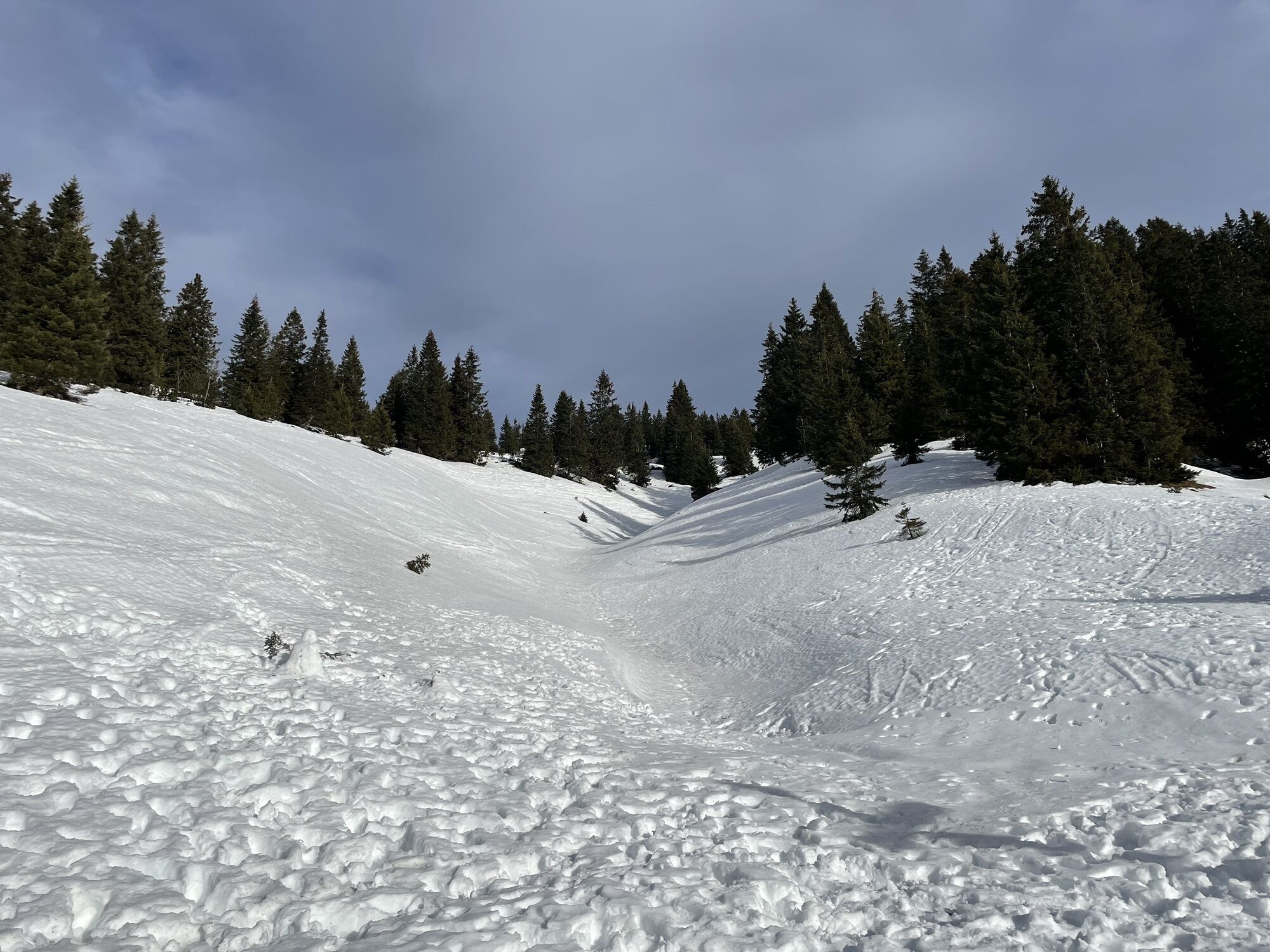
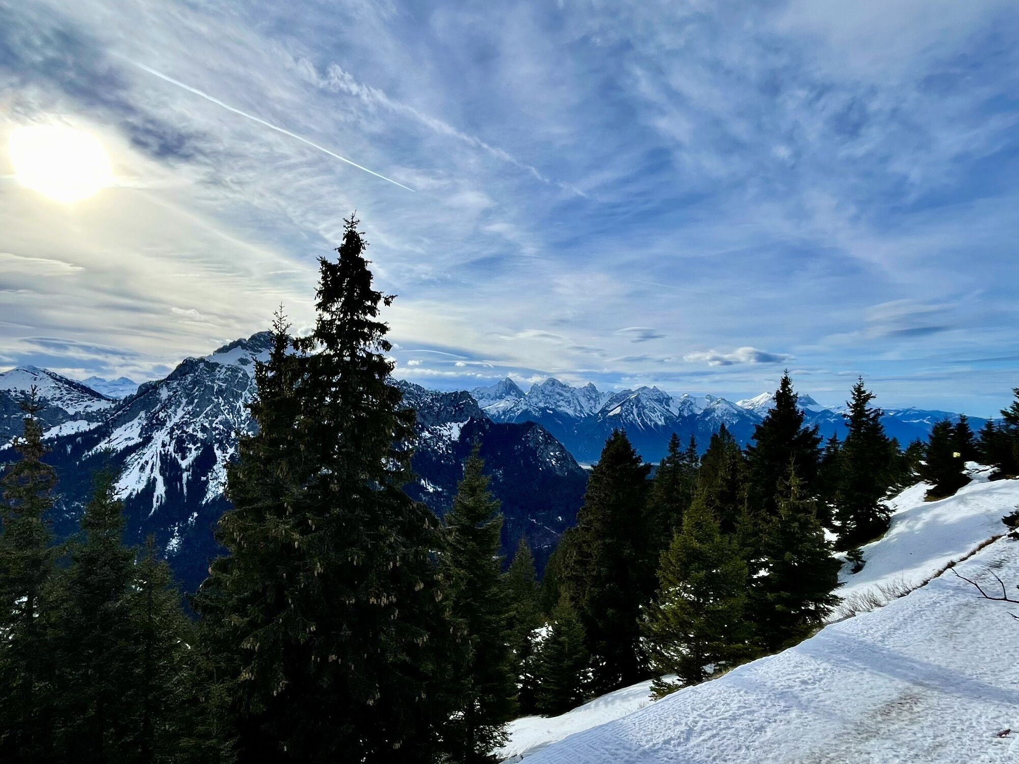
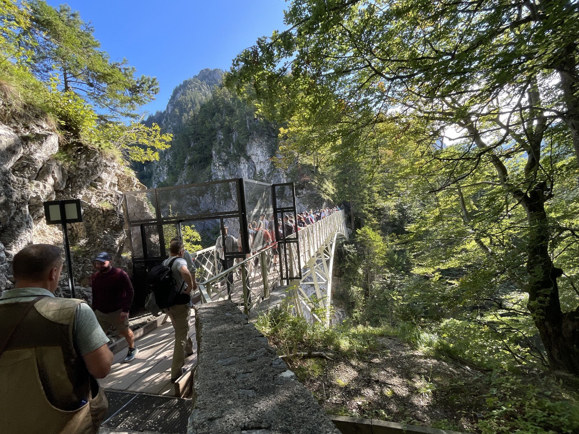
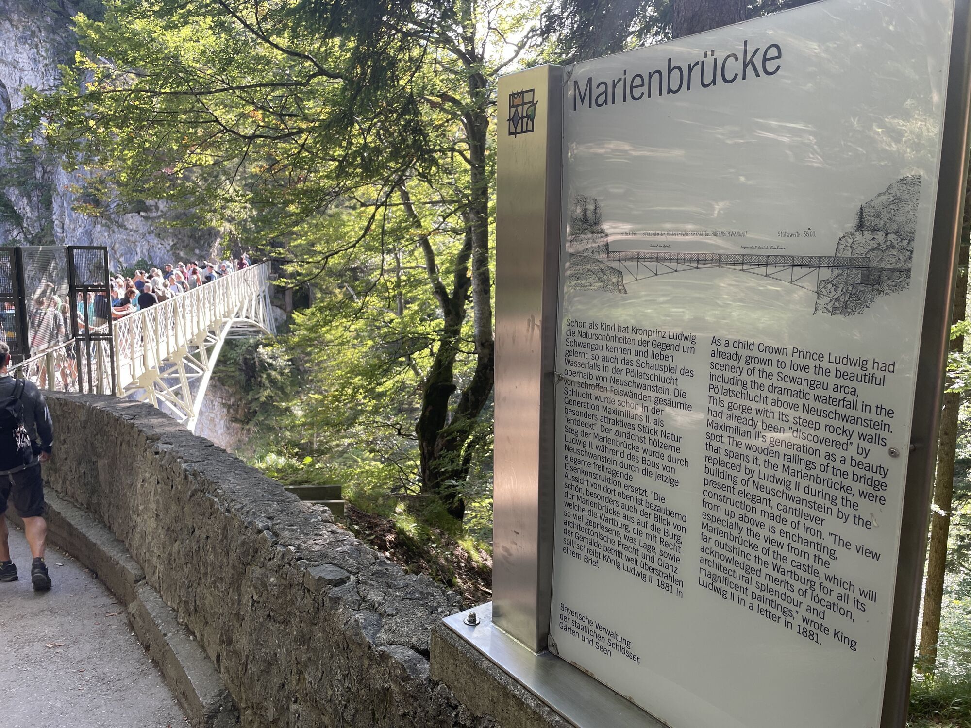
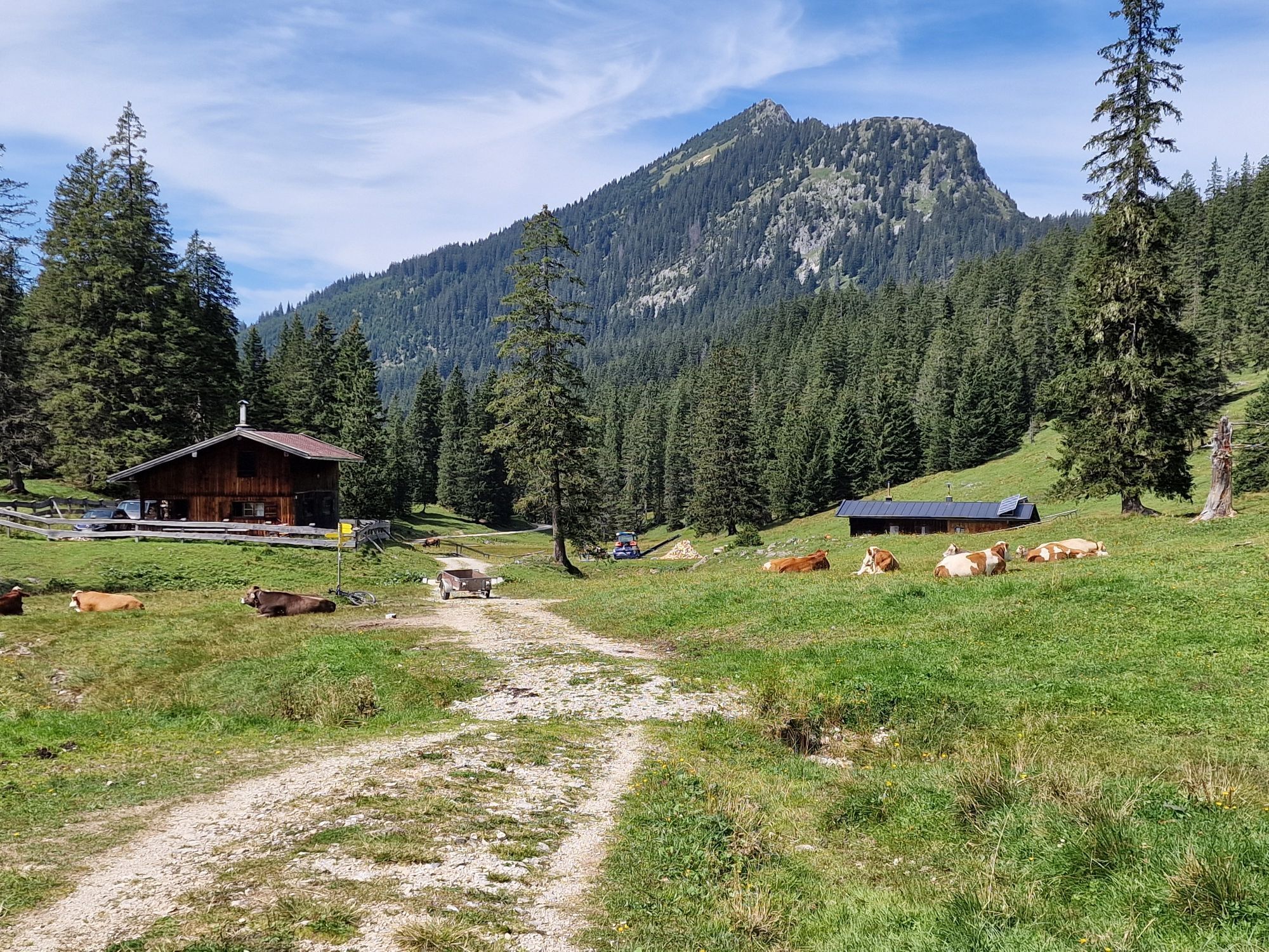
From the mountain station of the Tegelbergbahn cable car, the trail leads in gentle serpentines towards Branderfleck, with panoramic views returning again and again. Following the signs to the Jägerhütte, the trail leads to the Ahornsattel and then down to the Niederstraußberg. After a slight ascent to the Niederstraußbergsattel, continue over the Köllebach and the Ochsenängerle, a spacious meadow that invites you to rest and enjoy a snack. Now it is not far to the Jägerhütte. From there you can reach the Bleckenau mountain inn in about 1 hour on a forest path. Via the water pipe path (Brunnenstubenweg) you then head downhill to Neuschwanstein Castle and through the wild and romantic Pöllat Gorge past the gypsum mill back to the Tegelbergbahn valley station. At the moment, instead of the Pöllat Gorge, you have to walk past Neuschwanstein Castle and down Neuschwansteinstraße to the village of Hohenschwangau. From here, keep right and turn into the Pöllatweg after the Hohenschwangau grammar school and follow the signs to the valley station. Alternatively, you can take the bus to Hohenschwangau from Berggasthaus Bleckenau. In the afternoon, the Bleckenau bus also goes to the Tegelberg valley station (starting point).
Áno
Mountain boots, rainwear, first aid kit, camera, smartphone, snack and drinks
Coming from Schwangau or the B17 in the direction of the Tegelbergbahn valley station (Tegelbergstraße).
Parking available at the Tegelbergbahn valley station (subject to charge).
Refreshment stops and table reservations at www.schwangau.de/tisch. The Jägerhütte is currently not open.
With the Schwangau hiking pass for young and old hiking enthusiasts, you now have the opportunity to explore our unique natural landscape on your own. As proof of your achievement, you will find a small wooden box with a punching tool on each route.
Simply stamp the corresponding hiking route in your hiking pass and show it to the Tourist Information Office after completing enough hiking tours. You will then receive a hiking pin as a reward and the little hikers a hiking certificate.
The printed Schwangau Hiking Pass is available free of charge at the Schwangau Tourist Information Office, at the information point in Hohenschwangau, at the Tegelbergbahn valley station and at the Ziegelwies Forest Adventure Center.
https:// www.schwangau.de/aktivitaeten/wandern-und-klettern/wanderpass-schwangau/
If you want to take a small summit with you, you can make a detour to the Ahornspitze. Bus connection from the Bleckenau mountain inn to Hohenschwangau and the Tegelberg valley station possible. The Jägerhütte is currently not open.
Webové kamery z prehliadky
-
Talstation
-
Tegelbergbahn Bergstation
-
Tegelberghaus
-
Füssen - Wellness Hotel Sommer
-
Segelclub Füssen
-
Talstation
-
Talstation
-
Talstation
-
Talstation
-
Tegelbergbahn Bergstation
-
Tegelbergbahn Bergstation
-
Tegelbergbahn Bergstation
-
Tegelbergbahn Bergstation
-
Talstation
-
Talstation
-
Tegelbergbahn Bergstation
-
Schloss Hohenschwangau
-
Schloss Hohenschwangau
-
Schloss Hohenschwangau
-
Schloss Hohenschwangau
-
Schloss Hohenschwangau
-
Schloss Hohenschwangau
-
Schloss Hohenschwangau
-
Schloss Hohenschwangau
-
Ludwigs Festspielhaus Füssen
-
Ludwigs Festspielhaus Füssen
-
Ludwigs Festspielhaus Füssen
-
Ludwigs Festspielhaus Füssen
-
Ludwigs Festspielhaus Füssen
-
Ludwigs Festspielhaus Füssen
-
Ludwigs Festspielhaus Füssen
-
Forggensee
-
Tegelbergbahn Bergstation
-
Schwangau - Blick auf den Tegelberg
-
Hotel Hirsch
-
Hotel Hirsch
-
Hotel Hirsch
-
Hotel Hirsch
-
Hotel Hirsch
-
Hotel Hirsch
Získajte prehľad
Vždy naživo na mieste s viac ako 9 500 webovými kamerami. bergfex Ako používateľ Pro si teraz môžete pozrieť príslušné webové kamery pre mnohé zájazdy v aplikácii zájazdy z. Môžete si tak priamo prezerať aktuálne podmienky.

Obľúbené výlety v okolí
-
4,8
Around Weißensee
svetloTuristika 6,12 km -
4,1
Drehhütte
svetloTuristika 3,34 km -
4,7
Yellow Wall Trail, Tegelberg (A)
strednáVia ferrata 3,65 km -
4,5
Circular hike Dreh- and Rohrkopfhütte
svetloTuristika 8,76 km -
4,9
Tegelberg | Branderschrofen | Neuschwanstein
strednáTuristika 14,8 km -
4,2
Cultural trail Schutzengelweg
strednáTuristika 5,13 km -
3,6
Rundwanderung Plansee
strednáTuristika 9,80 km -
4,5
Schönjöchl am Plansee
strednáTuristika 7,21 km -
4,4
Schloß Neuschwanstein und Schwanensee Schwangau, Bayern
strednáTuristika 9 km -
4,6
Hochplatte
strednáTuristika 10,4 km

Turistika a stopovanie


Nenechajte si ujsť ponuky a inšpiráciu na ďalšiu dovolenku
Vaša e-mailová adresa bol pridaný do poštového zoznamu.





