



Valley hike to Kögelweiher and Attlesee



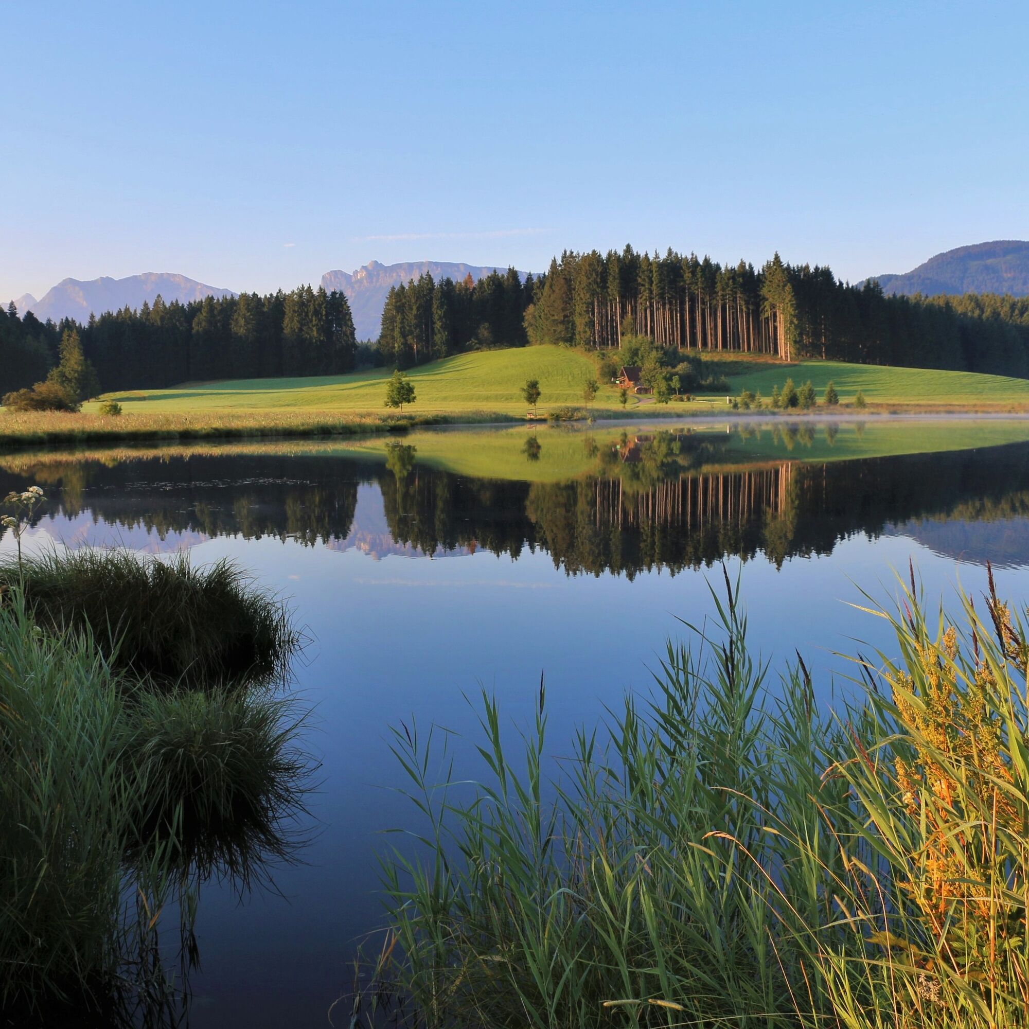
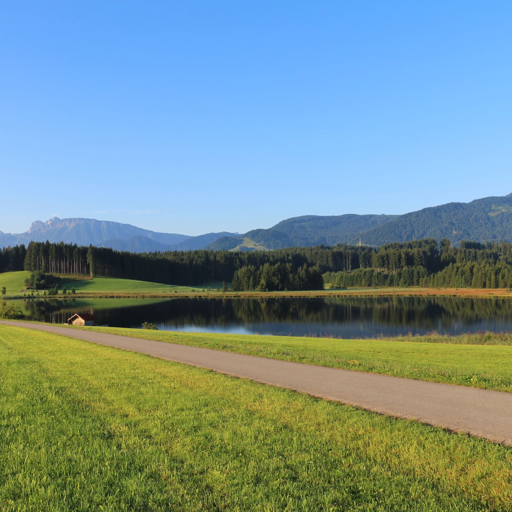
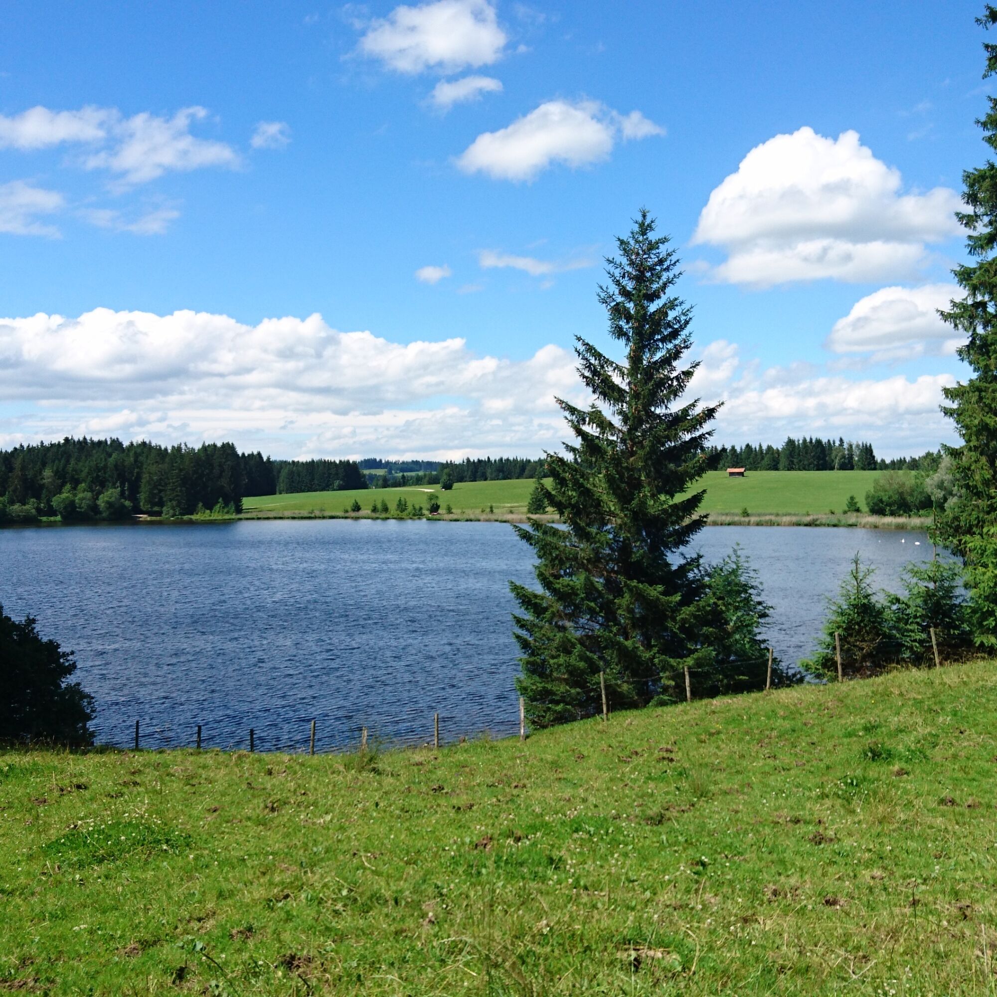
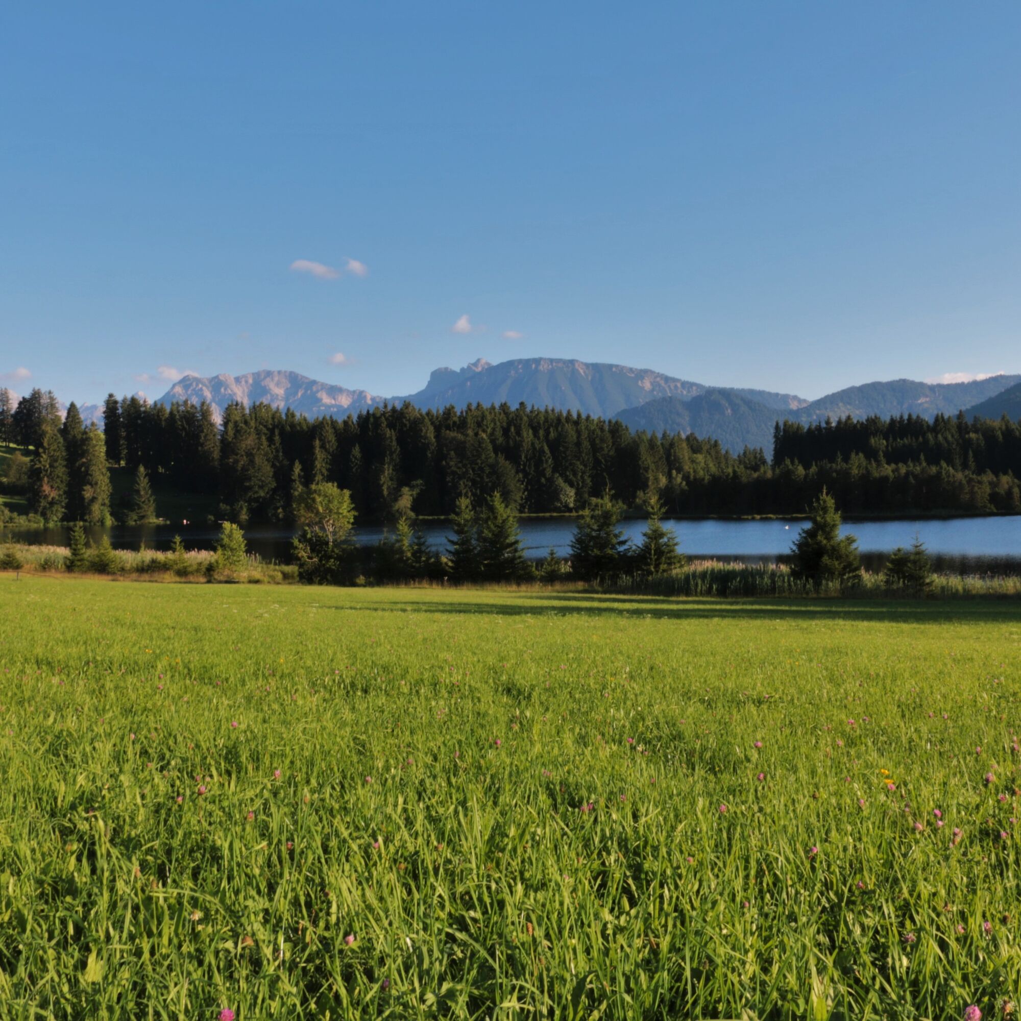
The starting point of the hike is the parking lot at Kögelweiher. From there, you go past Kögelweiher to the idyllic Attlesee. At Attlesee, the circular route turns left onto the Ge(h)zeiten path. The...
The starting point of the hike is the parking lot at Kögelweiher. From there, you go past Kögelweiher to the idyllic Attlesee. At Attlesee, the circular route turns left onto the Ge(h)zeiten path. The hike can be wonderfully combined with a visit to the Alpe Kögelhof.

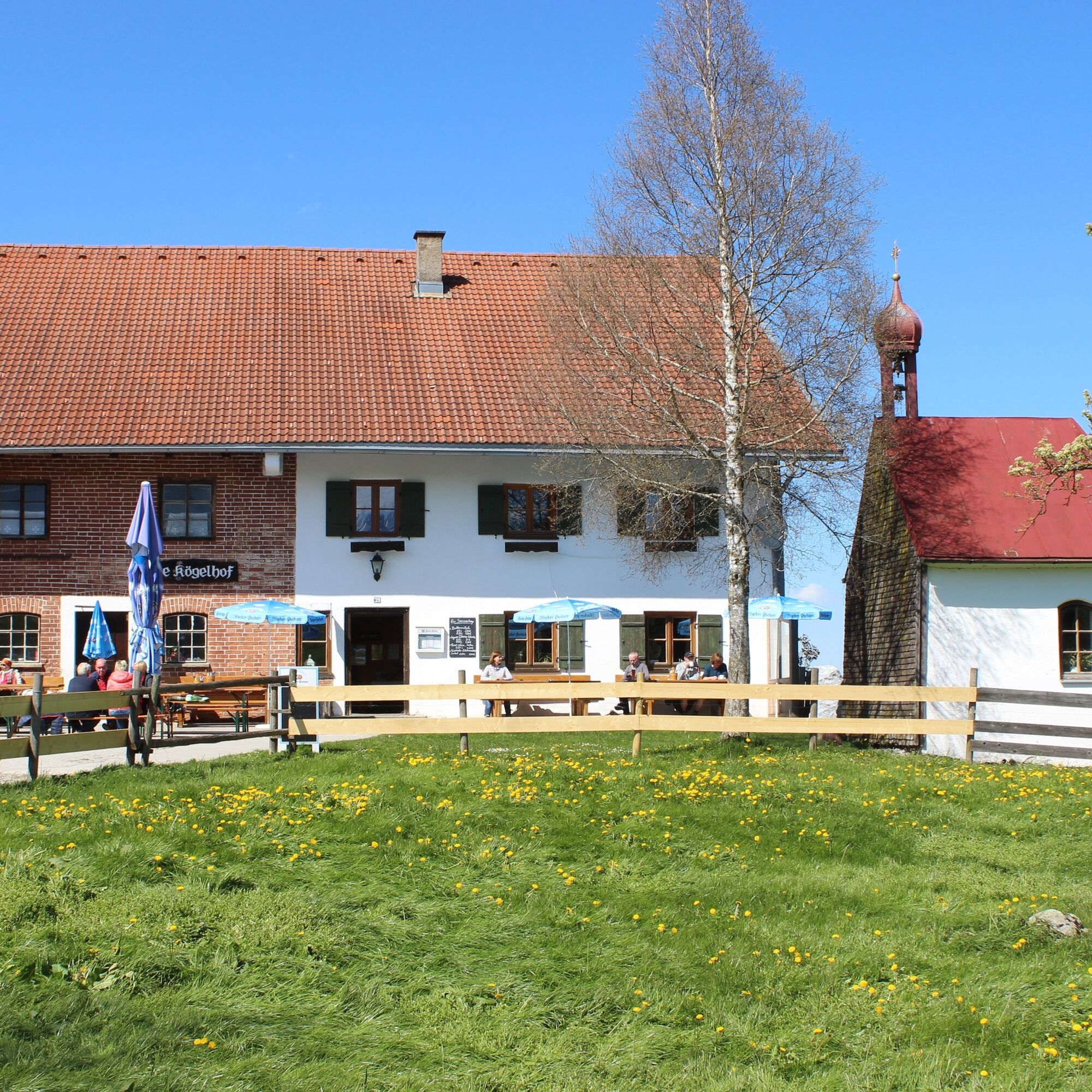

gravelled hiking trails
Áno
Áno
Áno
B 309
"Rindegger Tanne" east of Rindegg
A very beautiful hike along both lakes through a meadow landscape with woodland. On the Ge(h)zeiten path, various reflection stations offer opportunities for pause and contemplation.

Webové kamery z prehliadky


Obľúbené výlety v okolí
-
4,9
Hiking tour to Breitenberg
ťažkéTuristika 15,6 km -
4,8
To the Bad Kissinger Hut via the Gräner Höhenweg
strednáTuristika 13,0 km -
4,7
Mountain hike to the Aggenstein
ťažkéTuristika 15,3 km -
4,7
Panorama route to the Ostlerhütte
strednáTuristika 5,11 km -
4,6
Around Weißensee
svetloTuristika 6,12 km -
4,9
Gemeinde Grän, Tirol/Österreich Aggenstein Rundtour über Höhenweg
strednáTuristika 9,84 km -
4,0
Vana Reuter
strednáTuristika 9,03 km -
4,9
Circular hike to the Edelsberghütte (formerly Gundhütte)
strednáTuristika 7,04 km -
4,7
Von Obergschwend auf Wertacher Hörnle
strednáTuristika 10,0 km -
4,9
Pirschling - Schönkahler
strednáTuristika 9,85 km

Turistika a stopovanie


Nenechajte si ujsť ponuky a inšpiráciu na ďalšiu dovolenku
Vaša e-mailová adresa bol pridaný do poštového zoznamu.


