






Musse:um

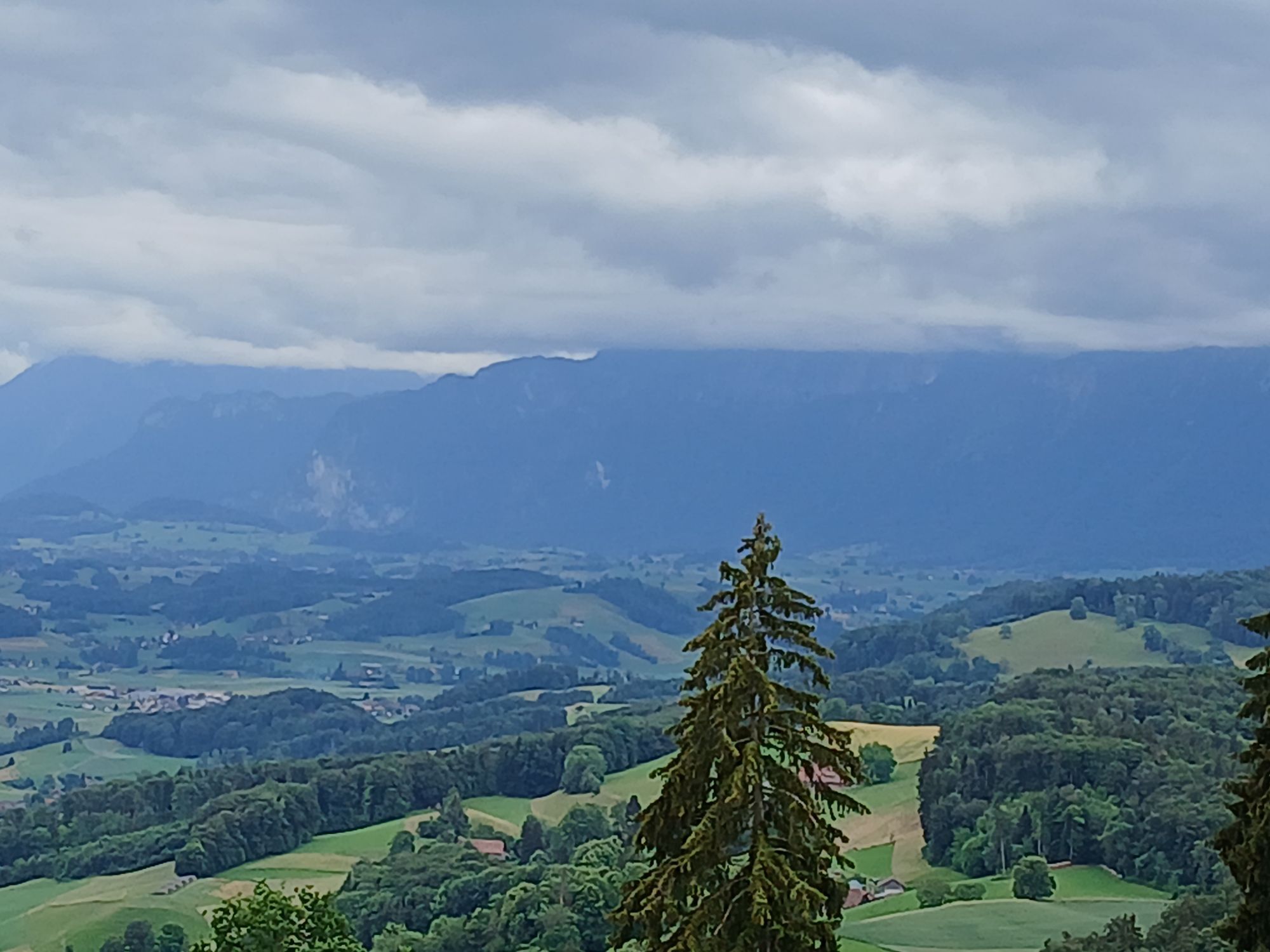
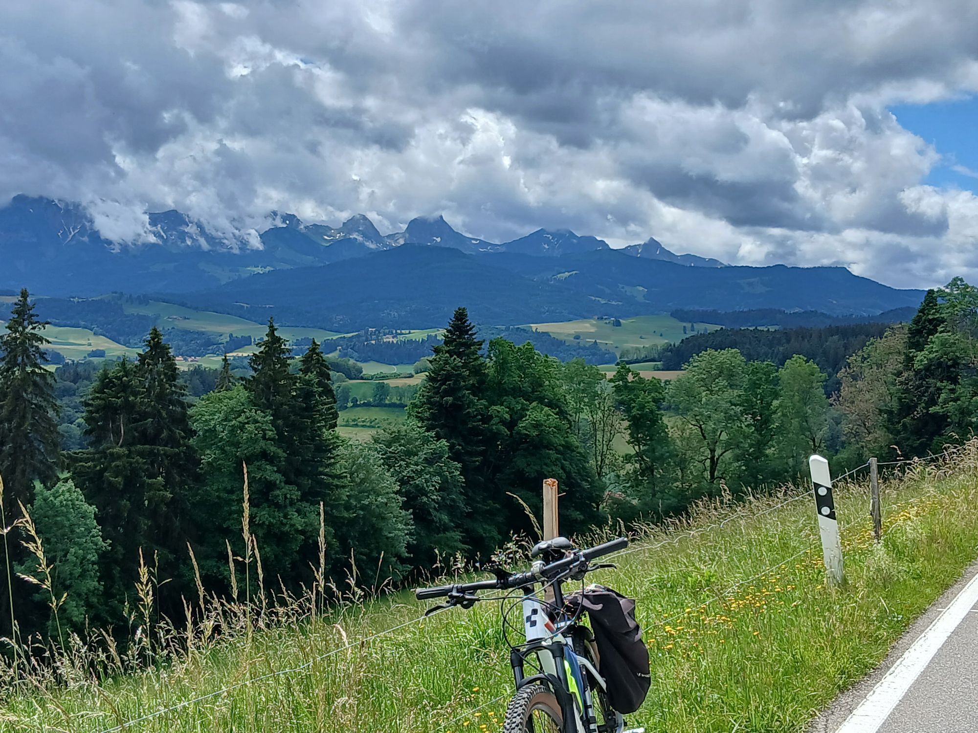
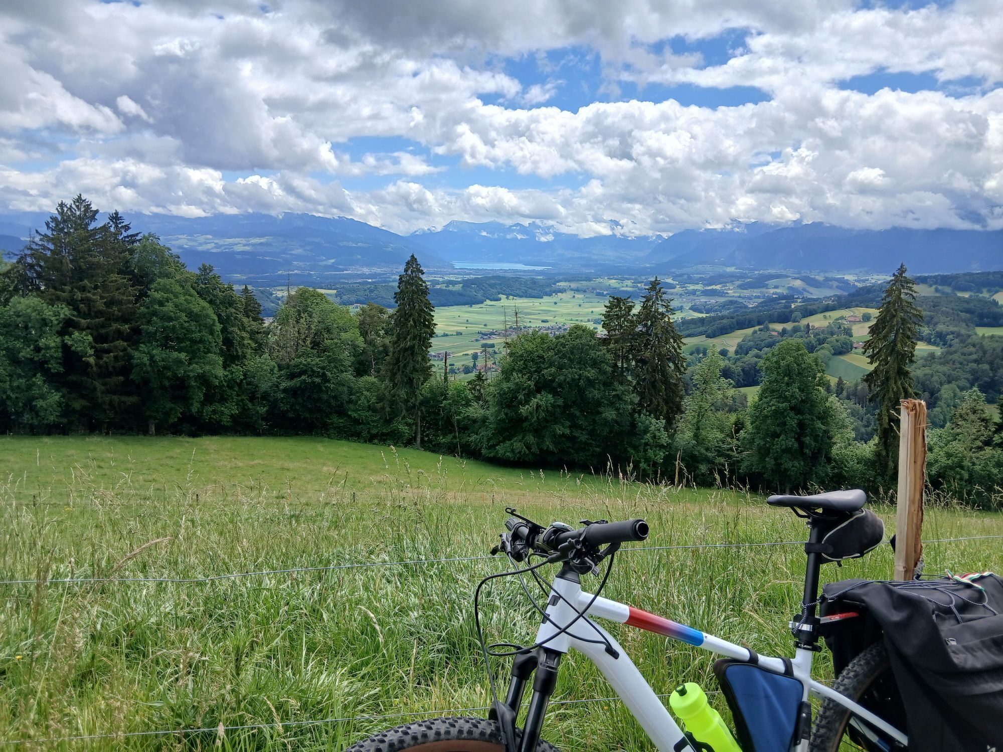
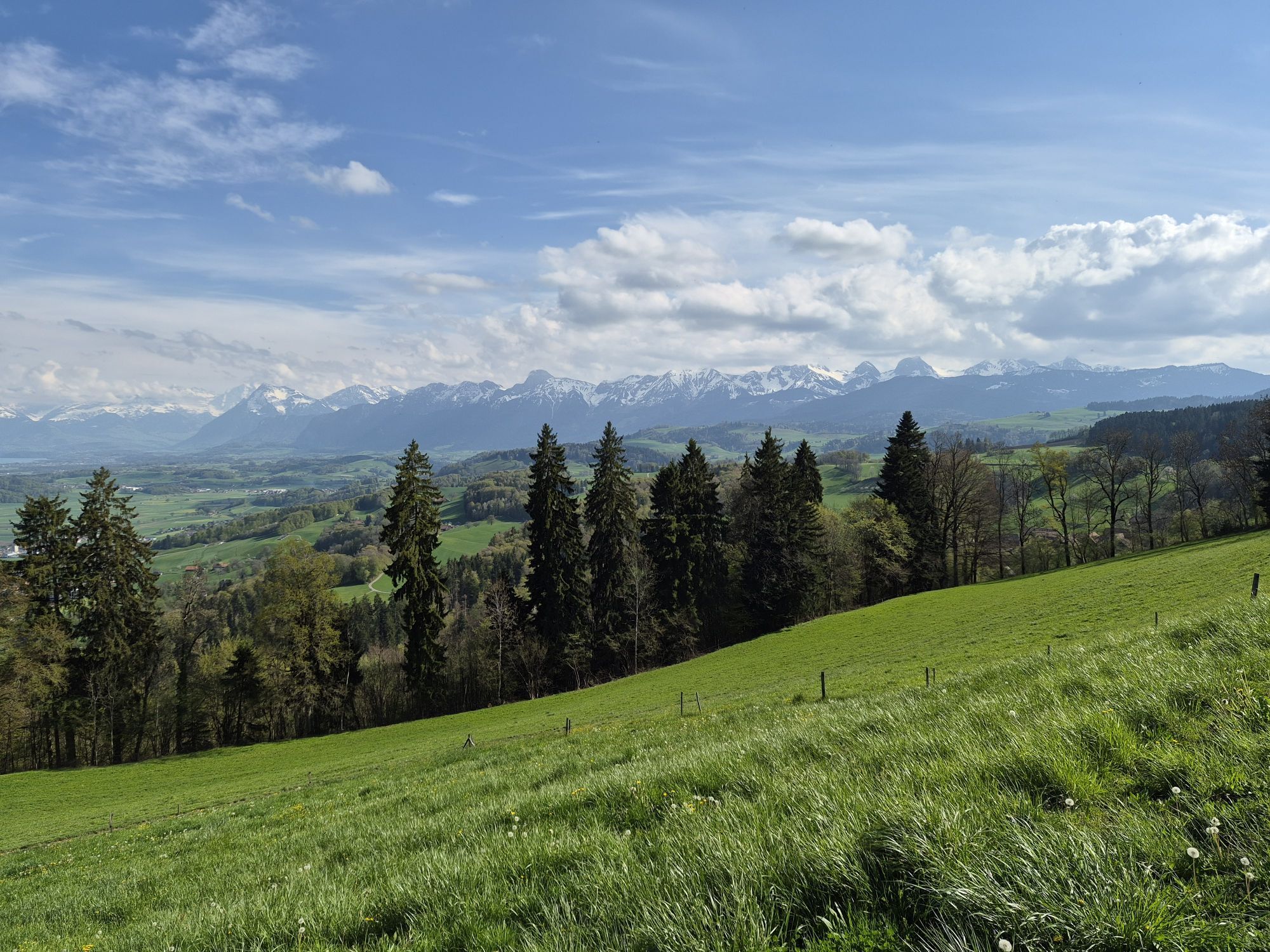
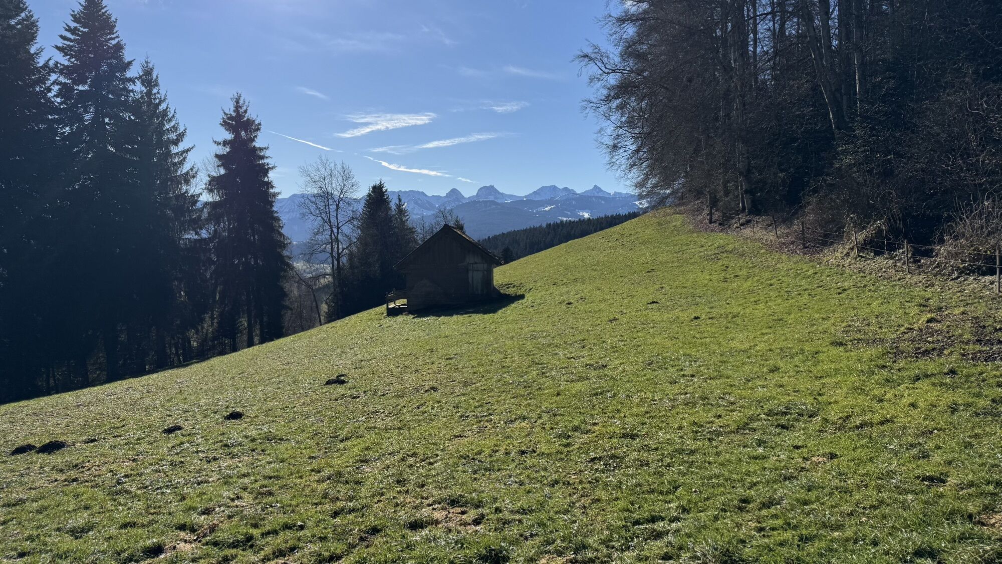
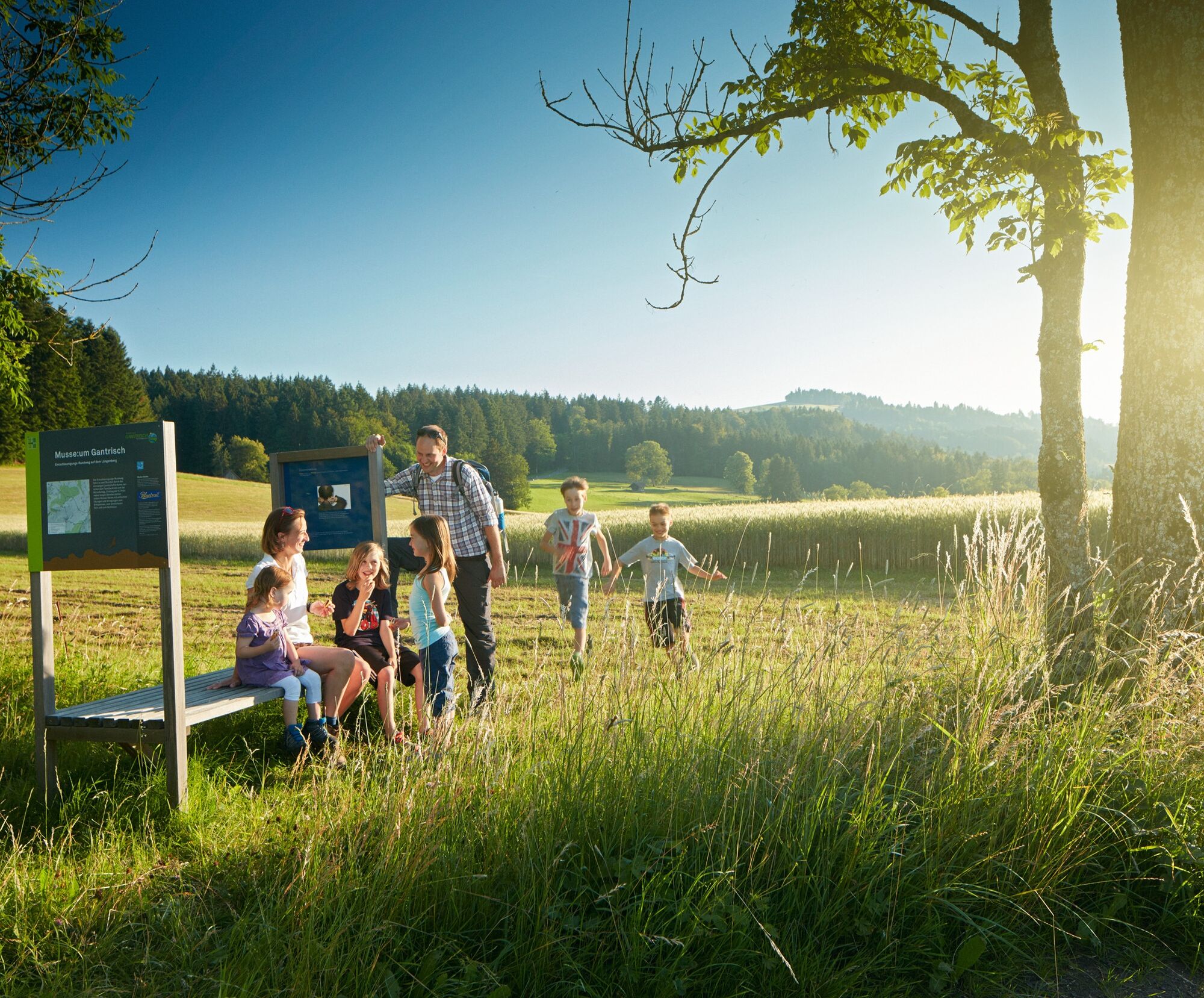
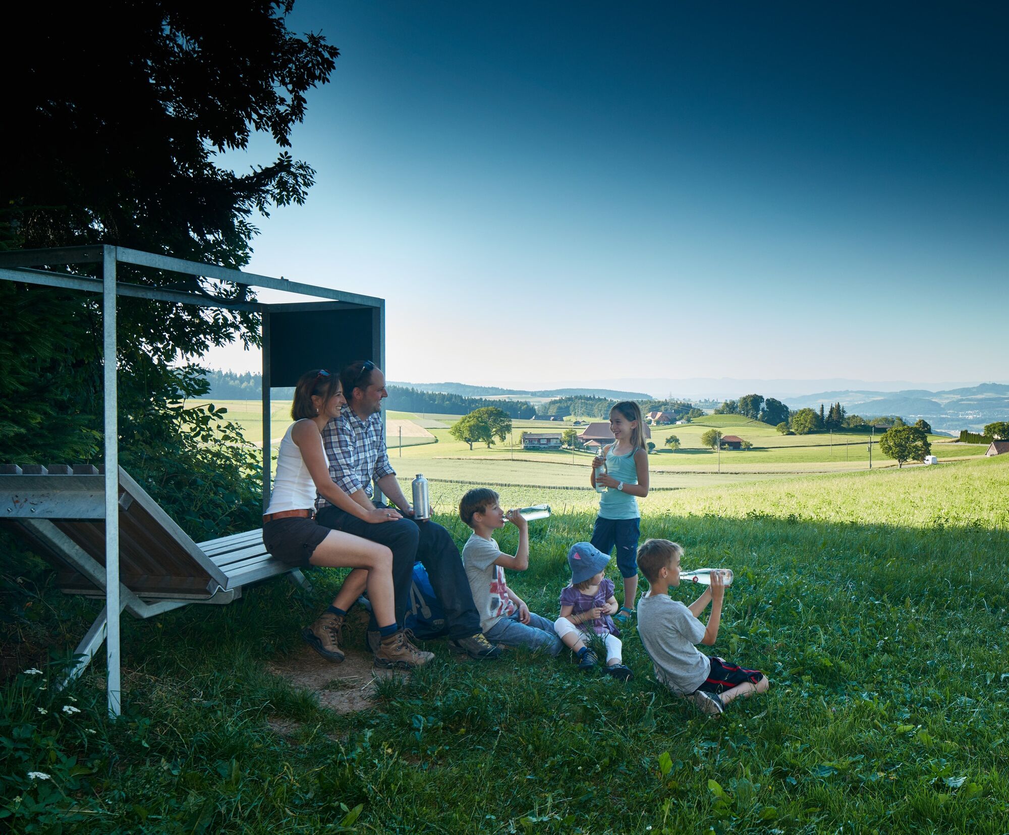
The landscape experience is at the center of the "Bench for the Moment." From the seat, you look through a small window with colored glass. A yellow and a blue window can be slid in front, illuminating...
The landscape experience is at the center of the "Bench for the Moment." From the seat, you look through a small window with colored glass. A yellow and a blue window can be slid in front, illuminating the landscape alternately in yellow sunshine, blue idyll, or green splendor. Not to be forgotten is also the "Bench for Doing Nothing." It invites the visitor exactly to that – to do nothing. Completely without instruction, but very much in the spirit of the "Musse:um" circular route.
At the Bluetrail benches, active relaxation complements the nature experience. Visitors are offered exercises to release tension, promote calmer breathing, and improve perception.
Those who want to experience the circular route can take the PostBus or car to Gschneit or the Tavel Monument. The circular route is 5.4 kilometers long and leads through the landscape without major inclines, passing two restaurants as well.
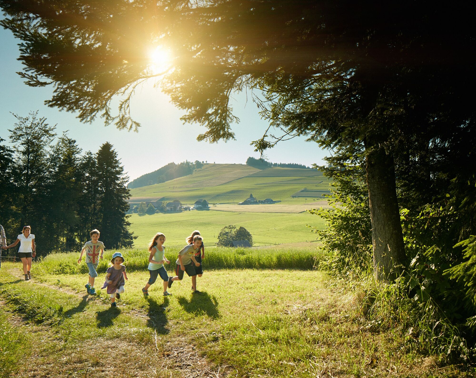
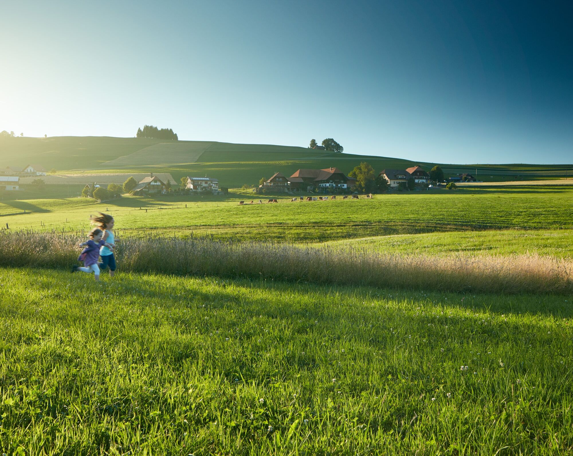
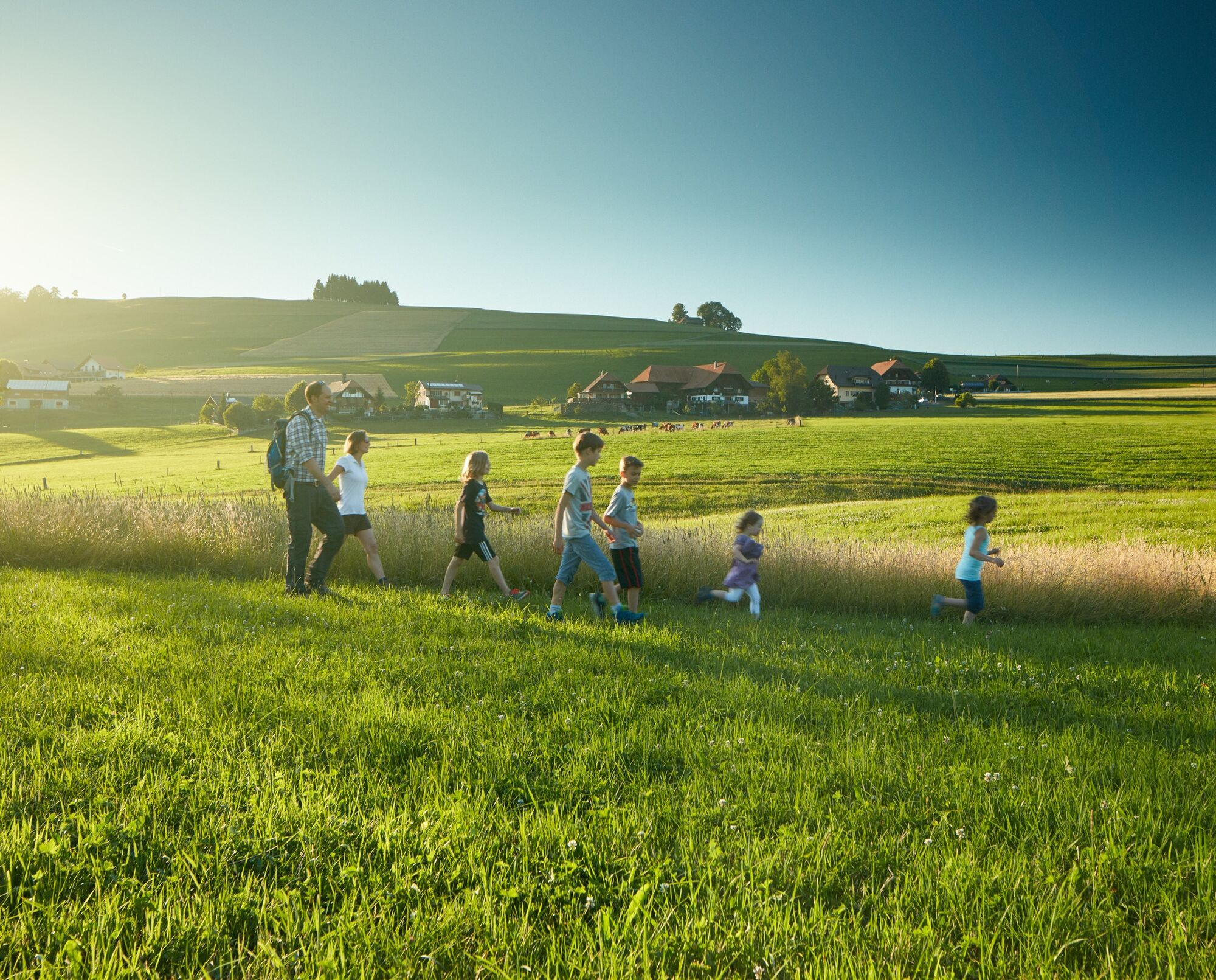

The circular route leads from the parking lot at the Tavel Monument along the ridge of Leuenberg following the hiking trail through the Tanwald forest towards Oberbütschel. After leaving the forest and crossing the main road, the path passes through Oberbütschel and then steeply uphill across the meadow towards Bütschelegg. After a refreshment at the restaurant, the path leads behind the restaurant along the forest edge and then steeply downhill through the forest towards Bütschel Gschneit back to the monument.
Áno
Weather-appropriate clothing
Route with Switzerland Mobility
Obľúbené výlety v okolí
-
4,5
Wasserscheide - Gantrisch Seeli
svetloTuristika 9,33 km -
4,0
Circular hike Gürbequelle
strednáTuristika 8,24 km -
4,5
Vreneli Trail Guggisberg
strednáTematická trasa 5,35 km -
5,0
Gürbetal High Trail (SwitzerlandMobility 380)
strednáTuristika 18,2 km -
5,0
Aare Thun-Bern
strednáKajak / Kanu 27,5 km -
5,0
Around the Guggershorn (Switzerland Mobility 501)
strednáMountainbike 23,4 km -
Selibühl Panoramatrail (SchweizMobil 113)
svetloSnežnice 4,34 km -
4,5
Gantrisch Königsroute (SchweizMobil 502)
ťažkéMountainbike 30,4 km -
5,0
Schwarzwasser-Sense Gorge Path Stage 1 (SchweizMobil 381)
svetloTuristika 11,4 km -
Von Gurnigel Wasserscheide via Klettersteig Gantrisch nach Oberstocken
ťažkéVia ferrata 17 km
Turistika a stopovanie


Nenechajte si ujsť ponuky a inšpiráciu na ďalšiu dovolenku
Vaša e-mailová adresa bol pridaný do poštového zoznamu.





