







Alpine Panorama Trail Stage 18 (SchweizMobil 3)

Úroveň náročnosti: T1
Stage 18. Rüeggisberg-Guggisberg
The 18th stage of the Alpine Panorama Trail starts in Rüeggisberg. The hike already begins with a highlight – the Rüeggisberg monastery ruins. In the Middle Ages, it was...
Stage 18. Rüeggisberg-Guggisberg
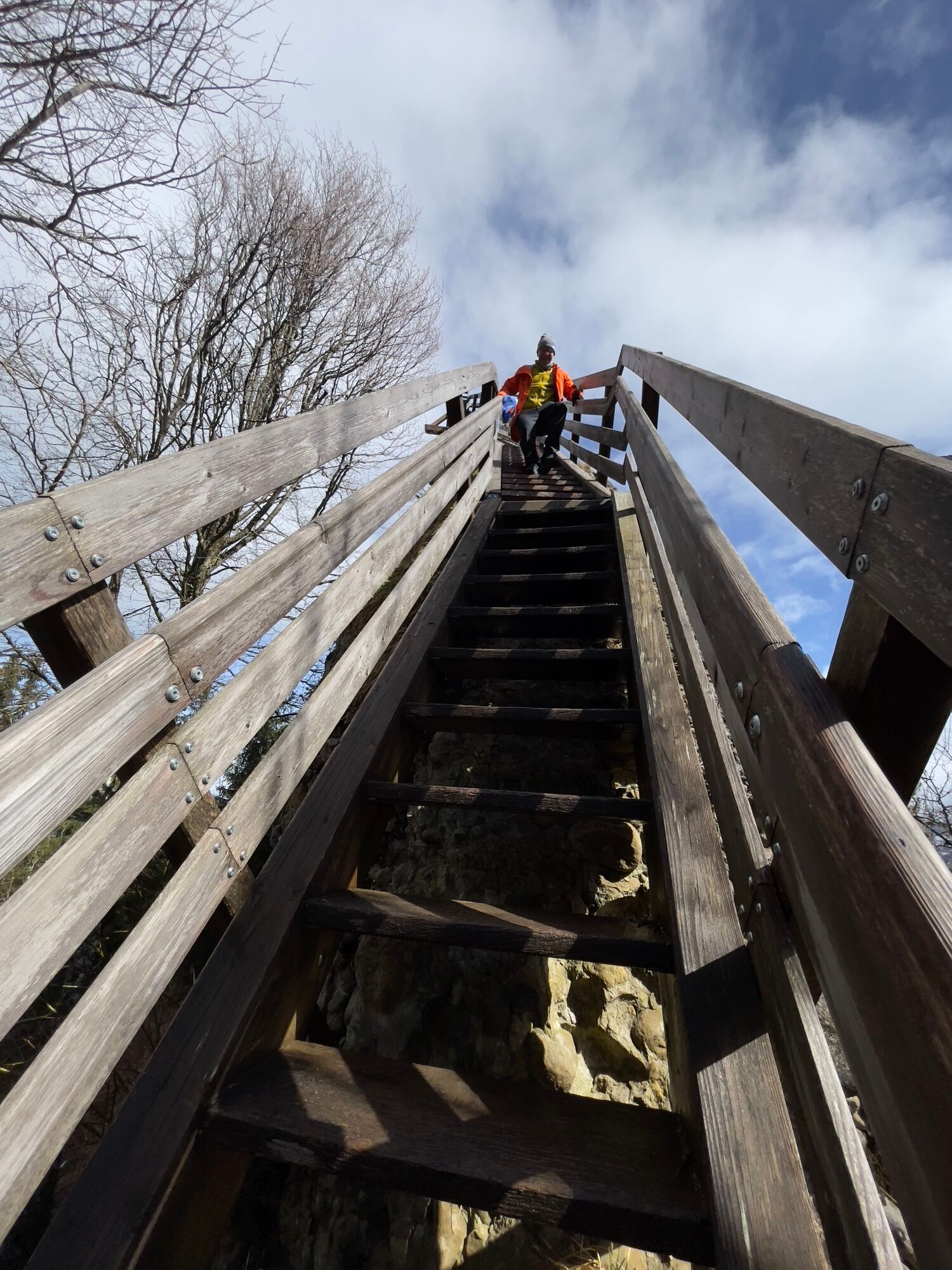
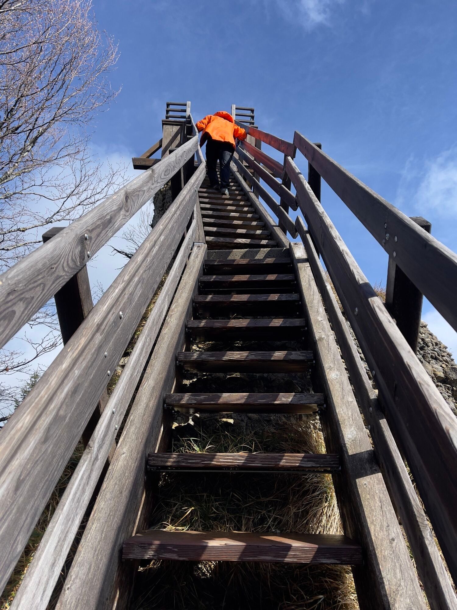
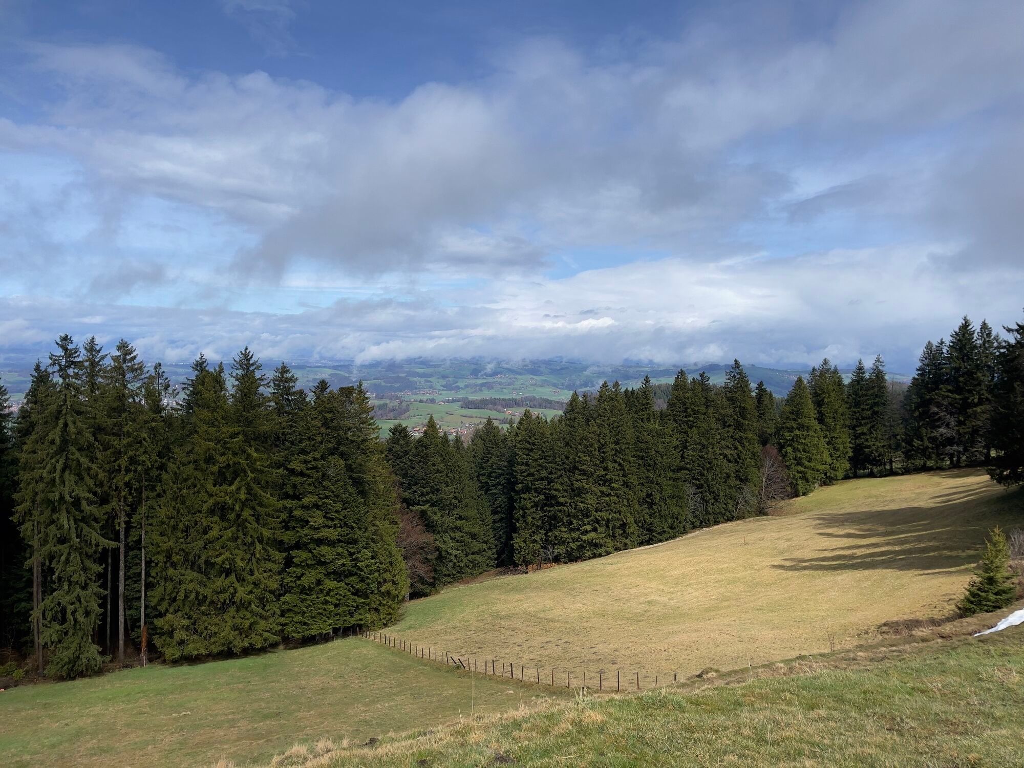
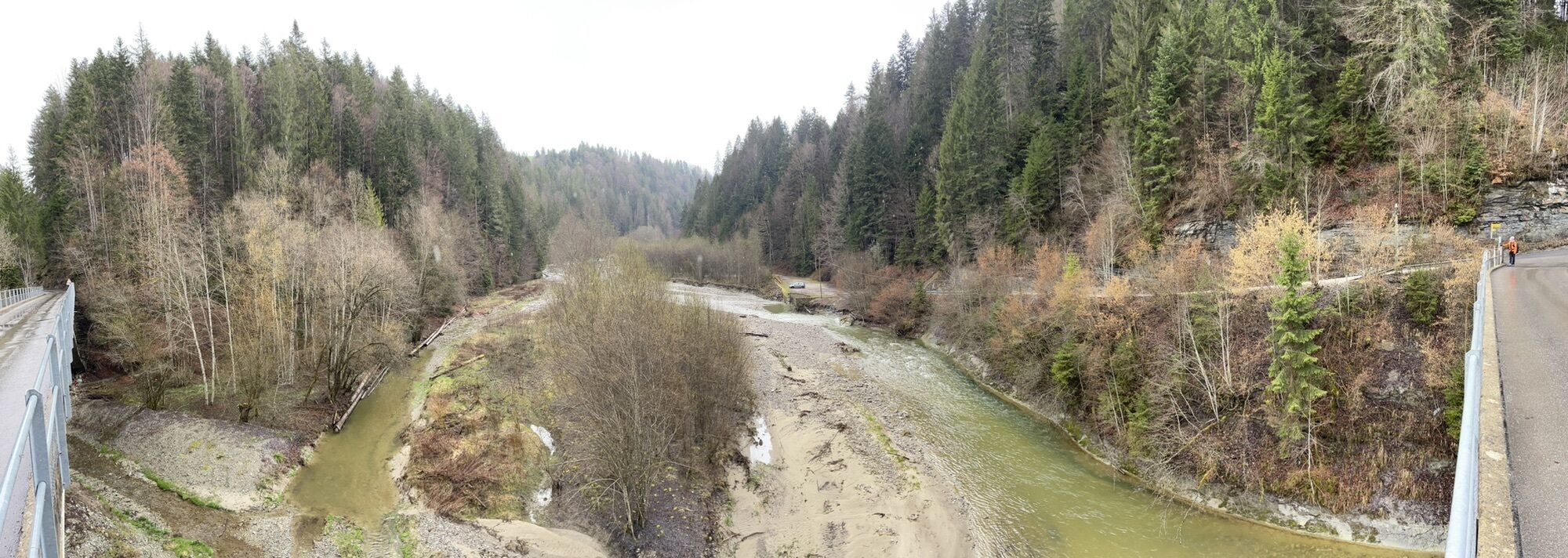
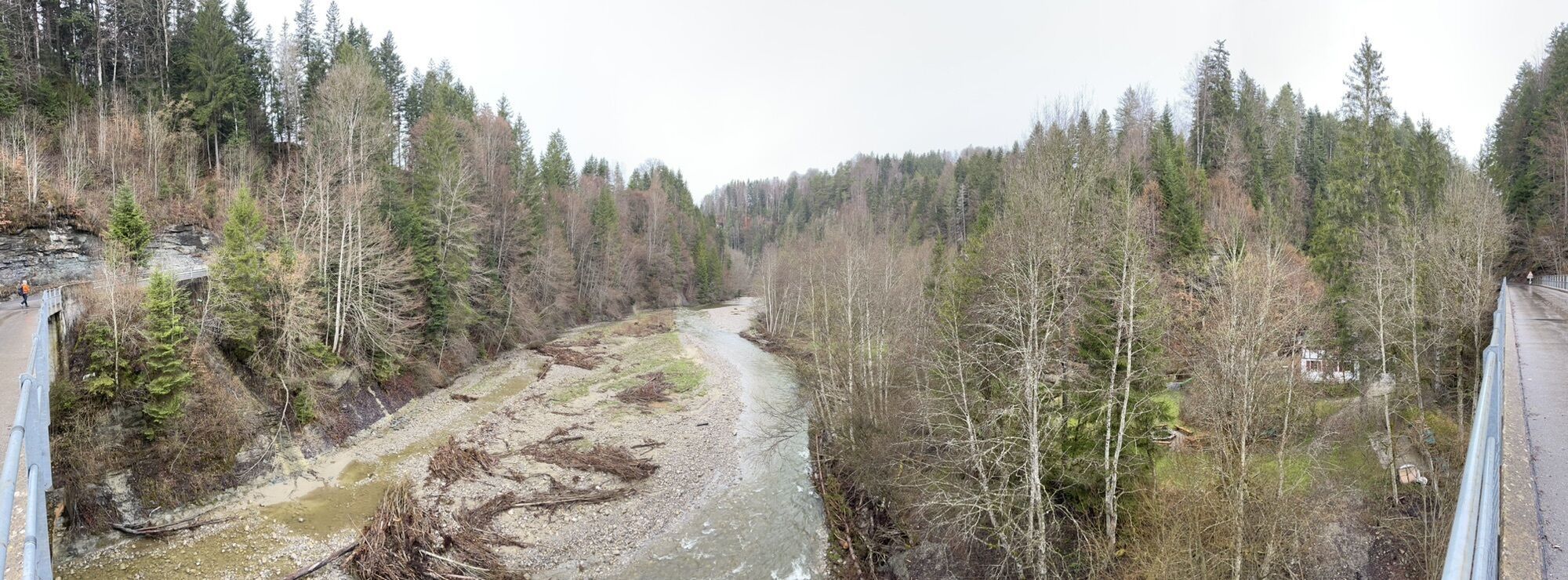
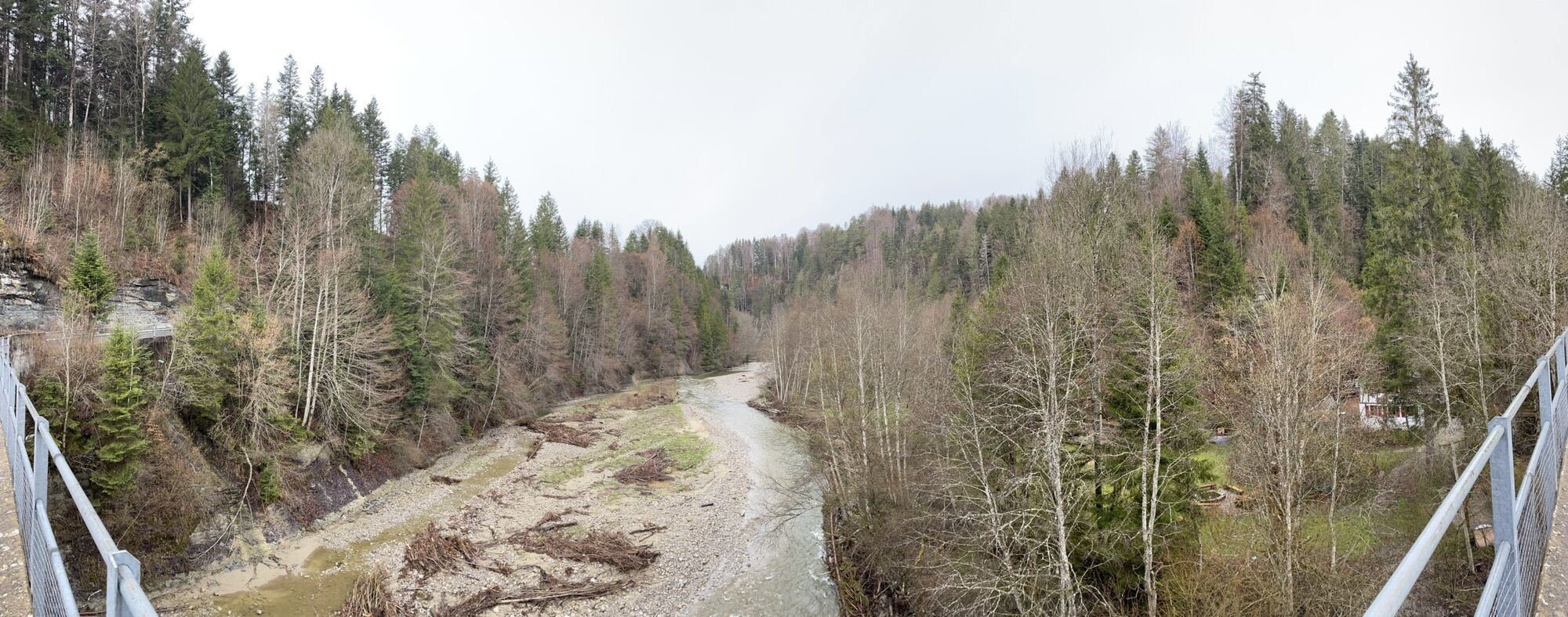
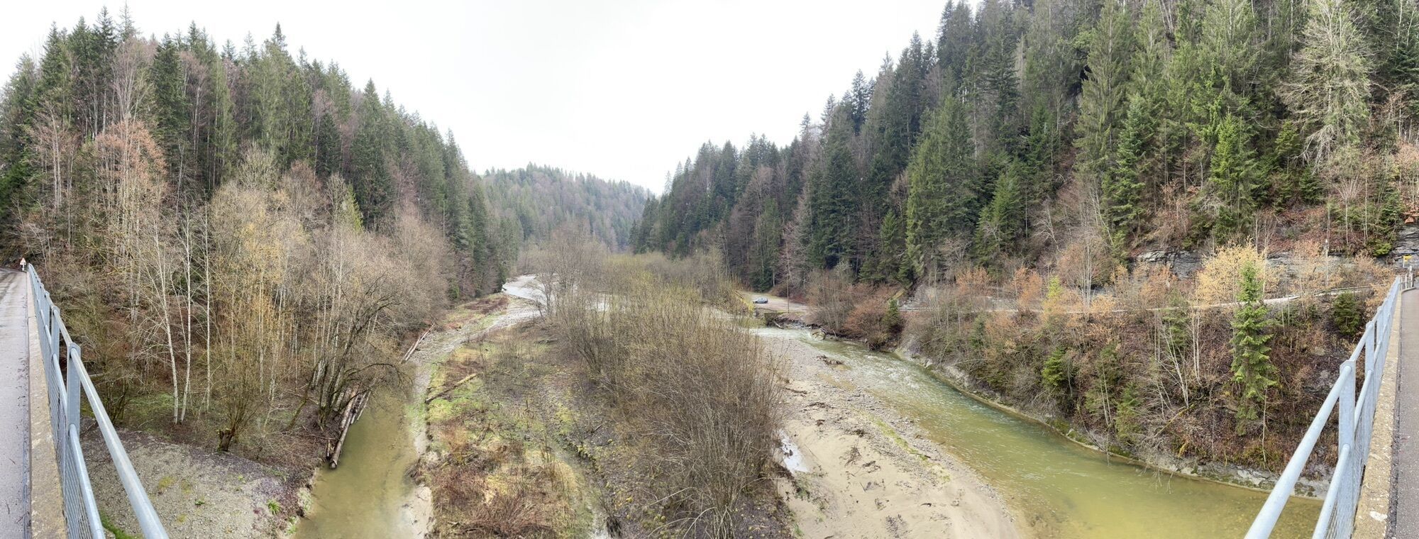
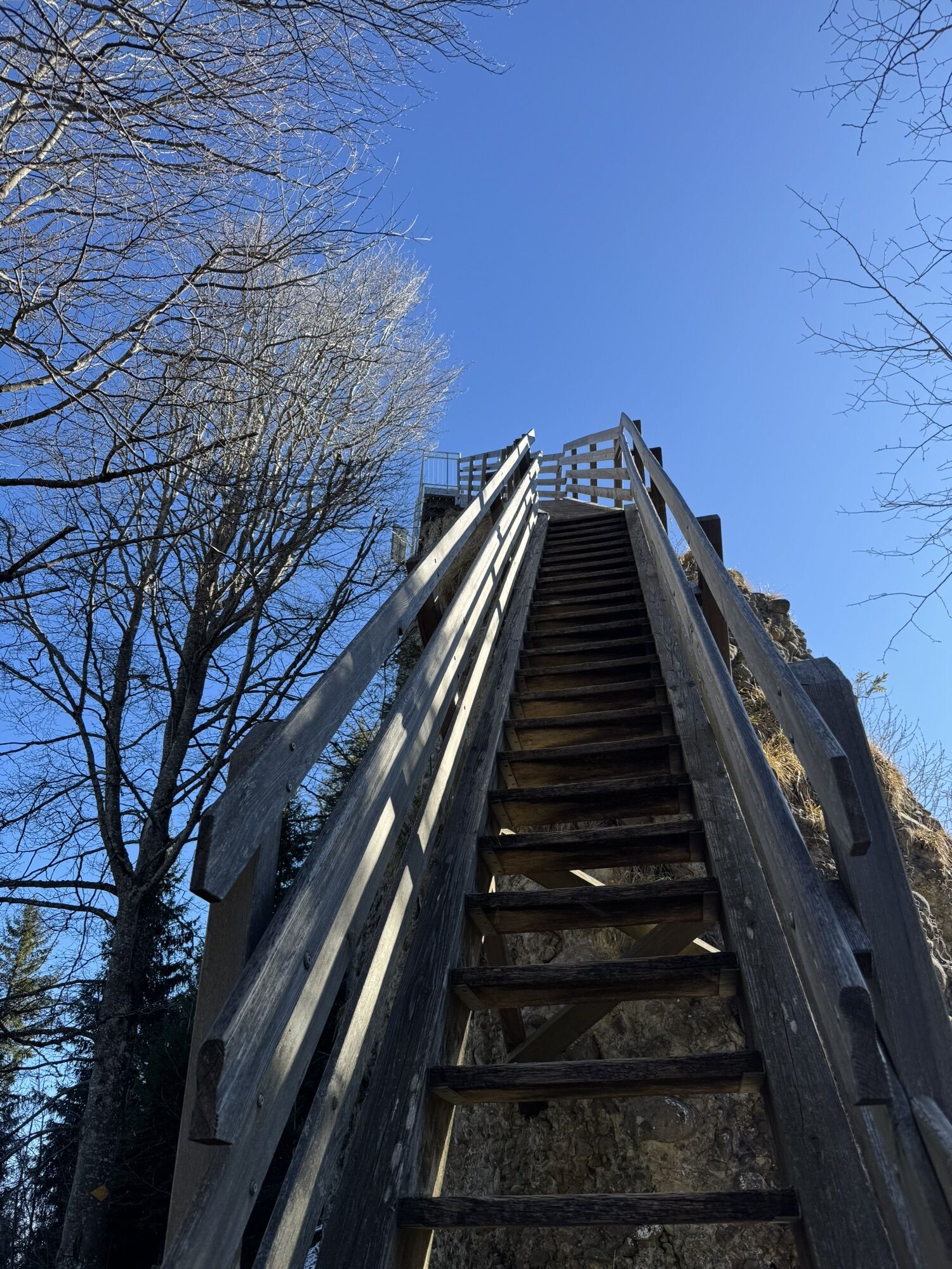
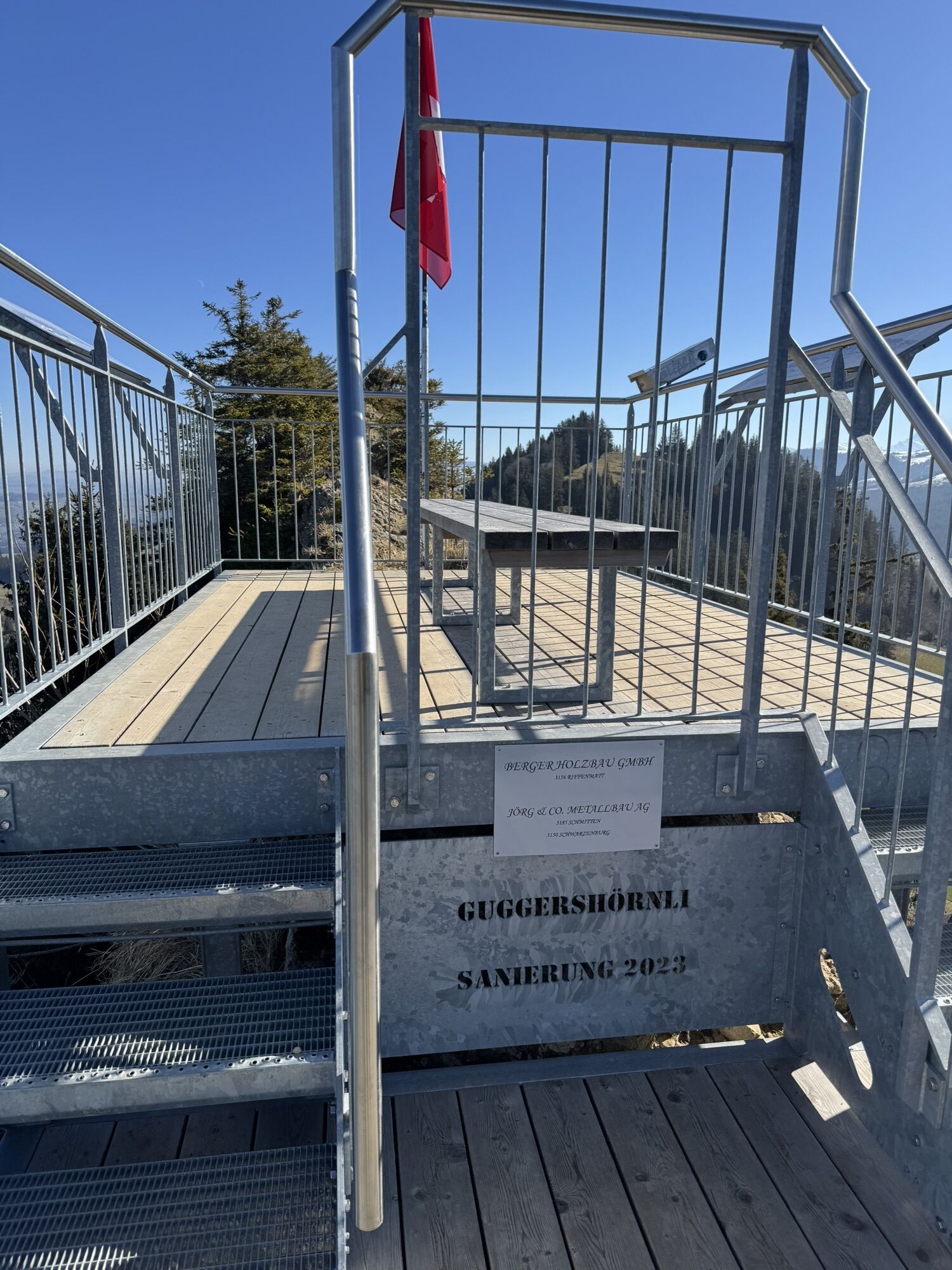
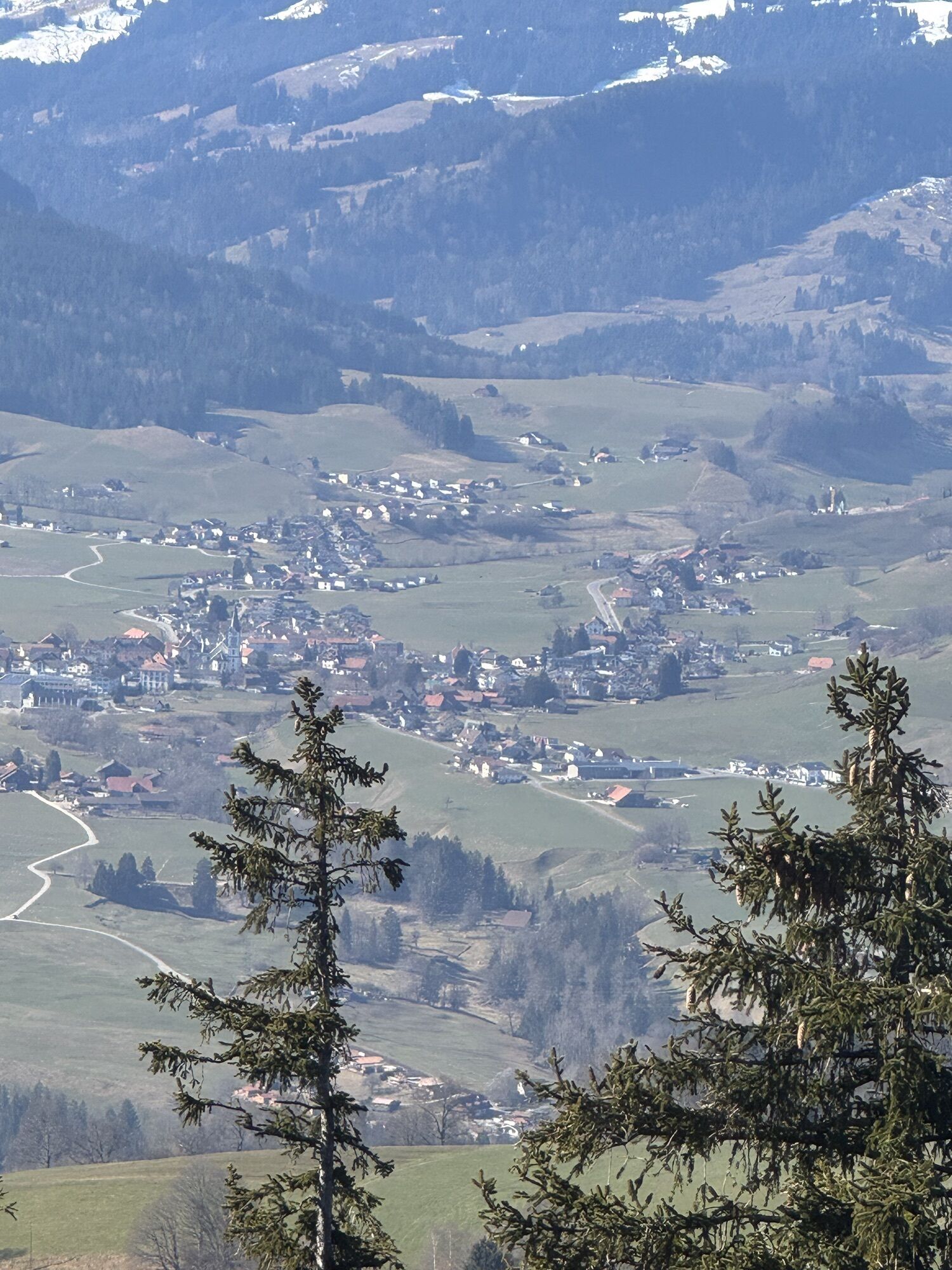
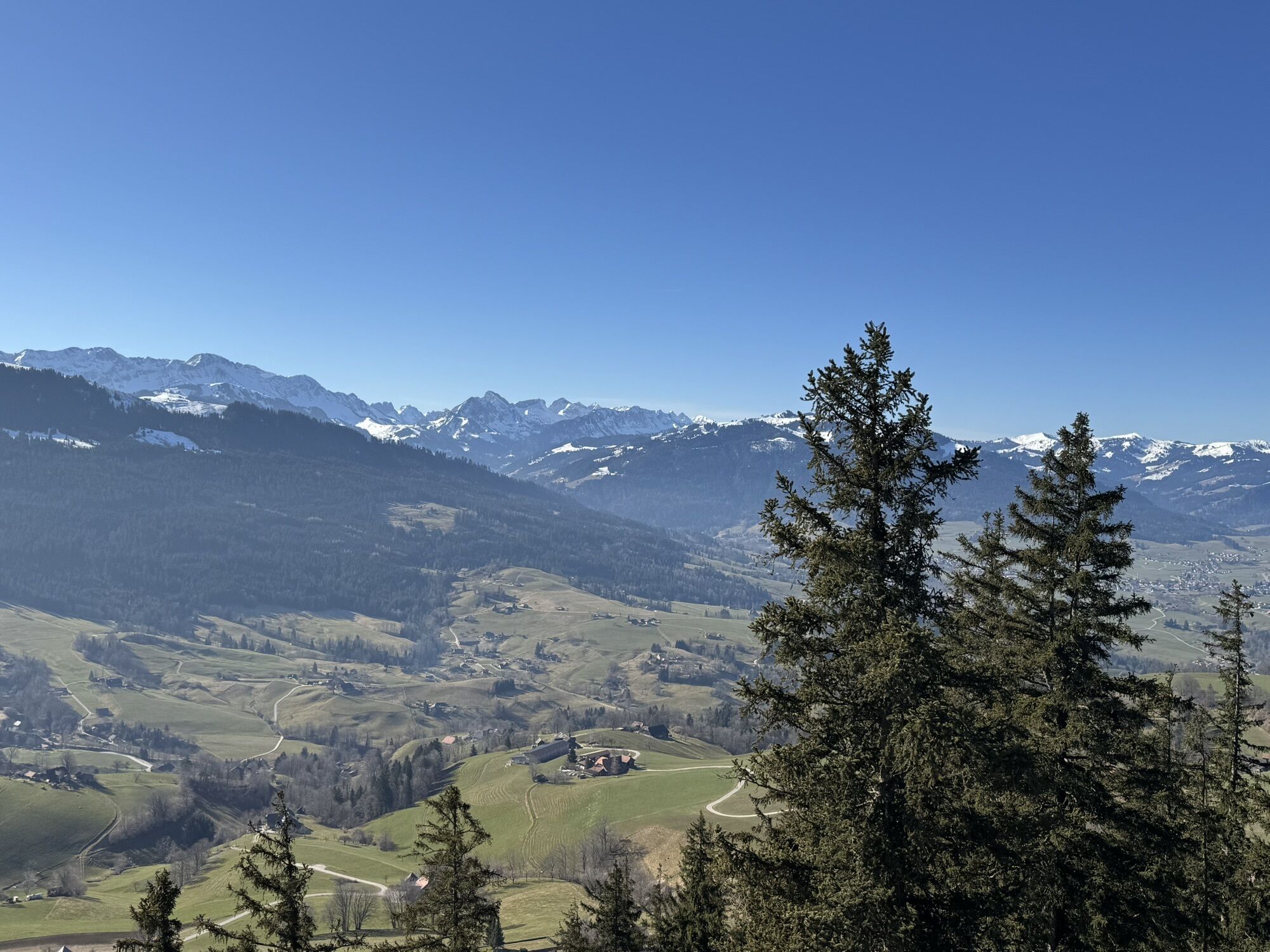
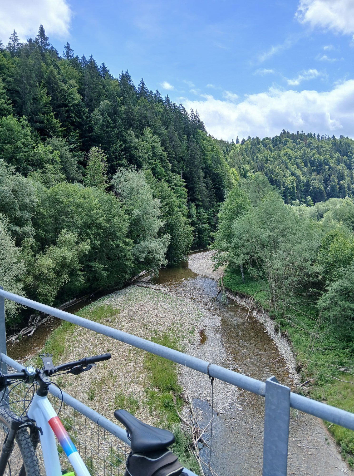
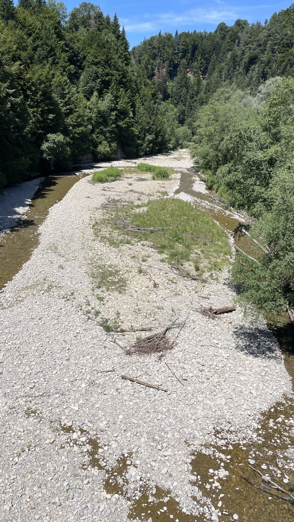
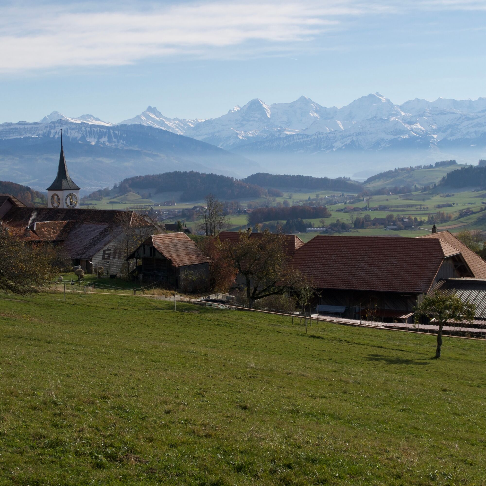
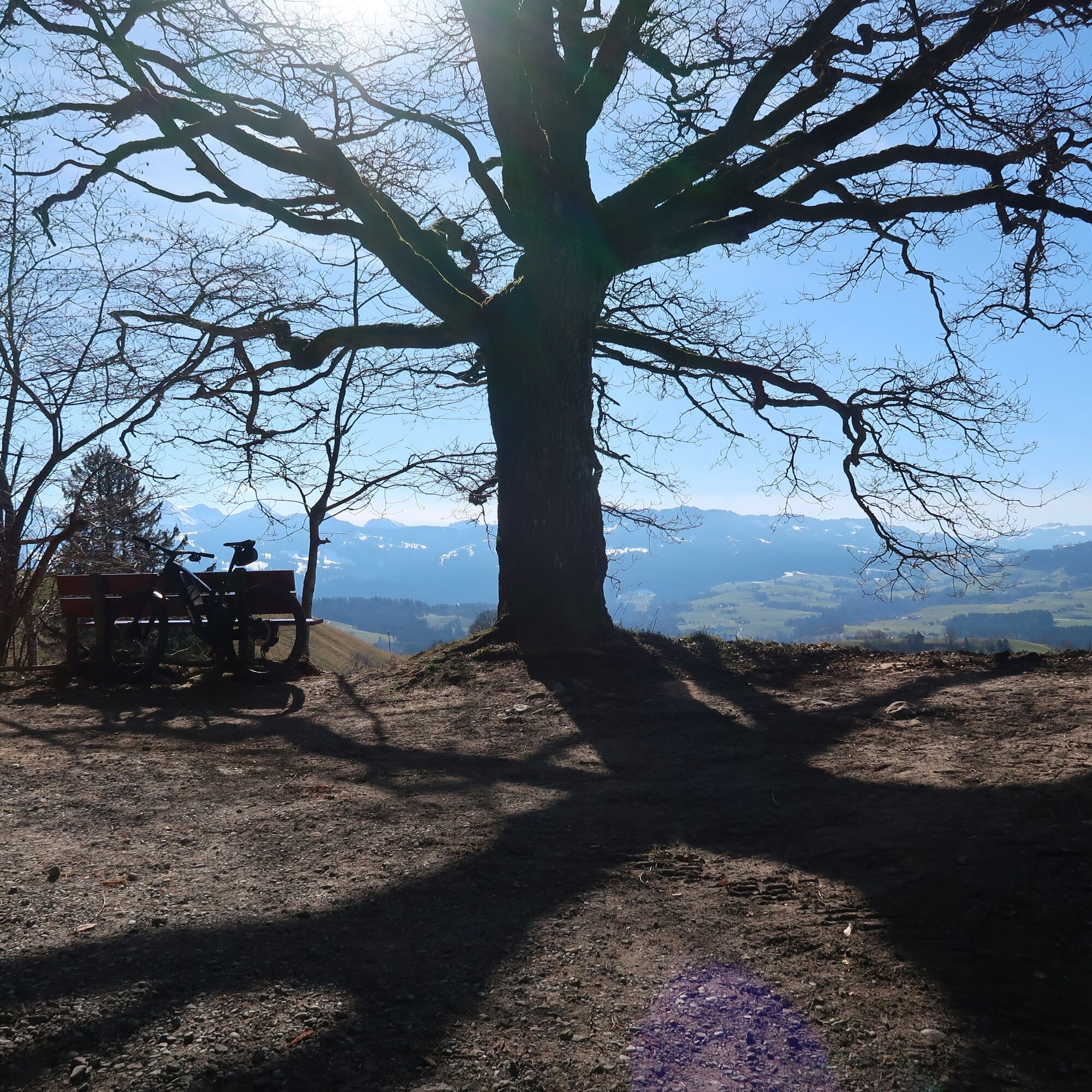
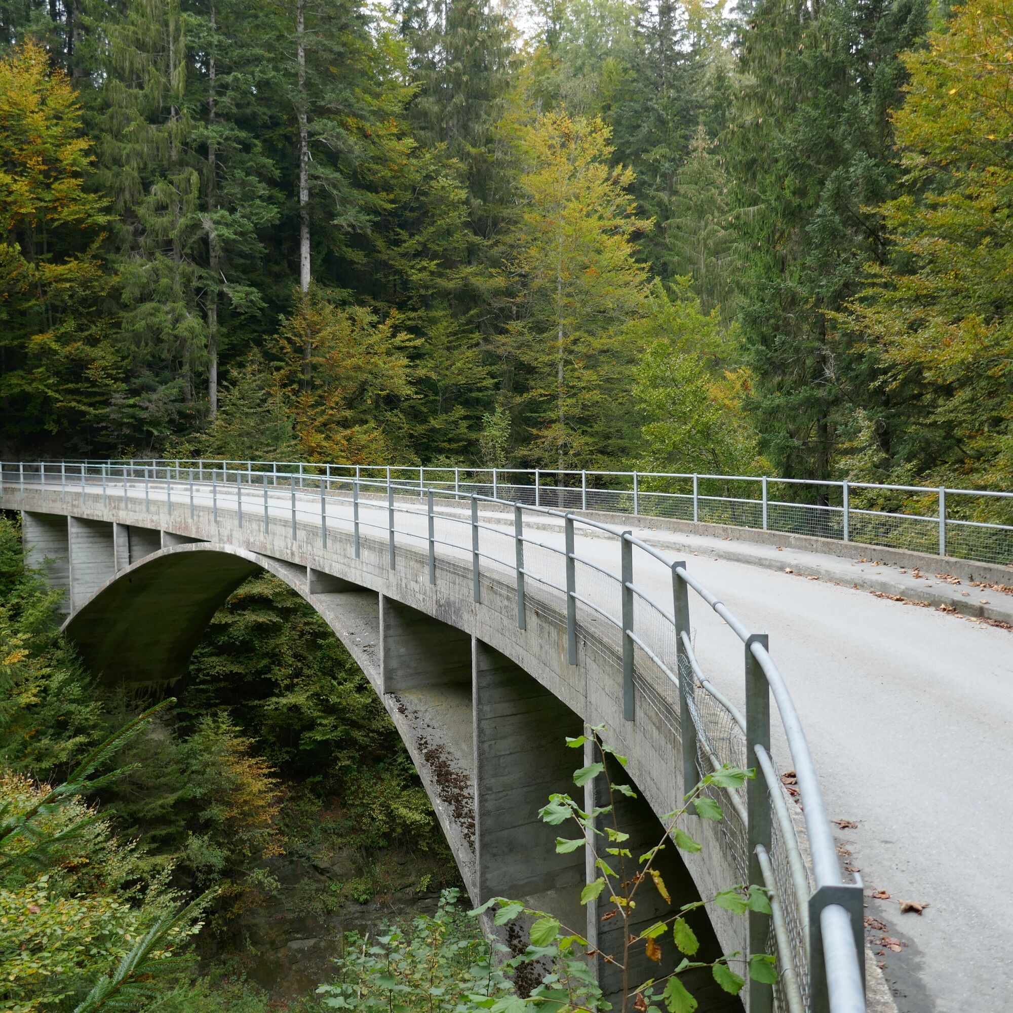
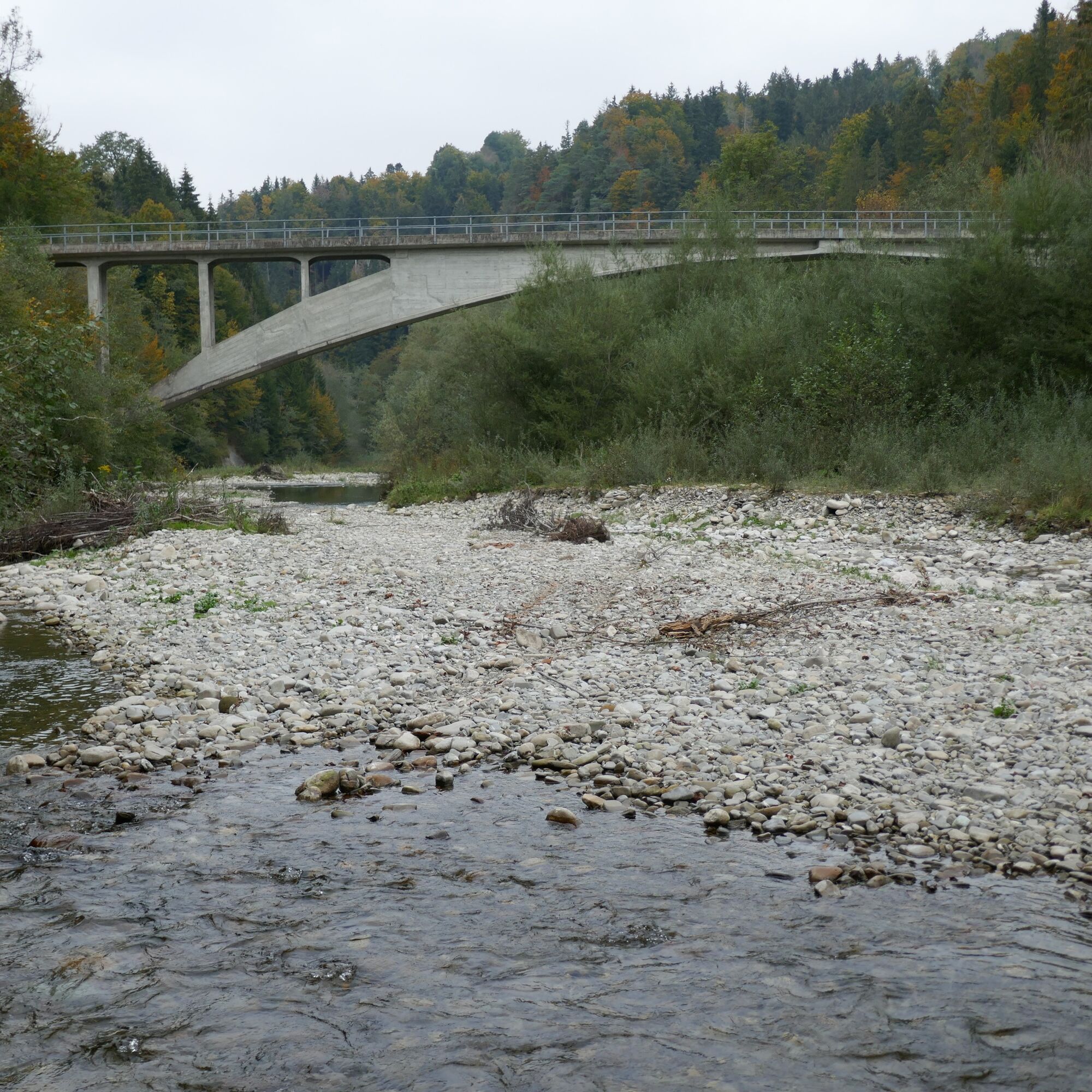
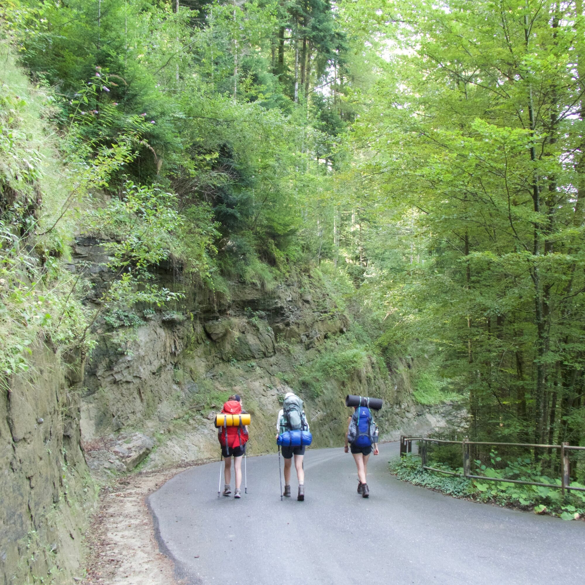
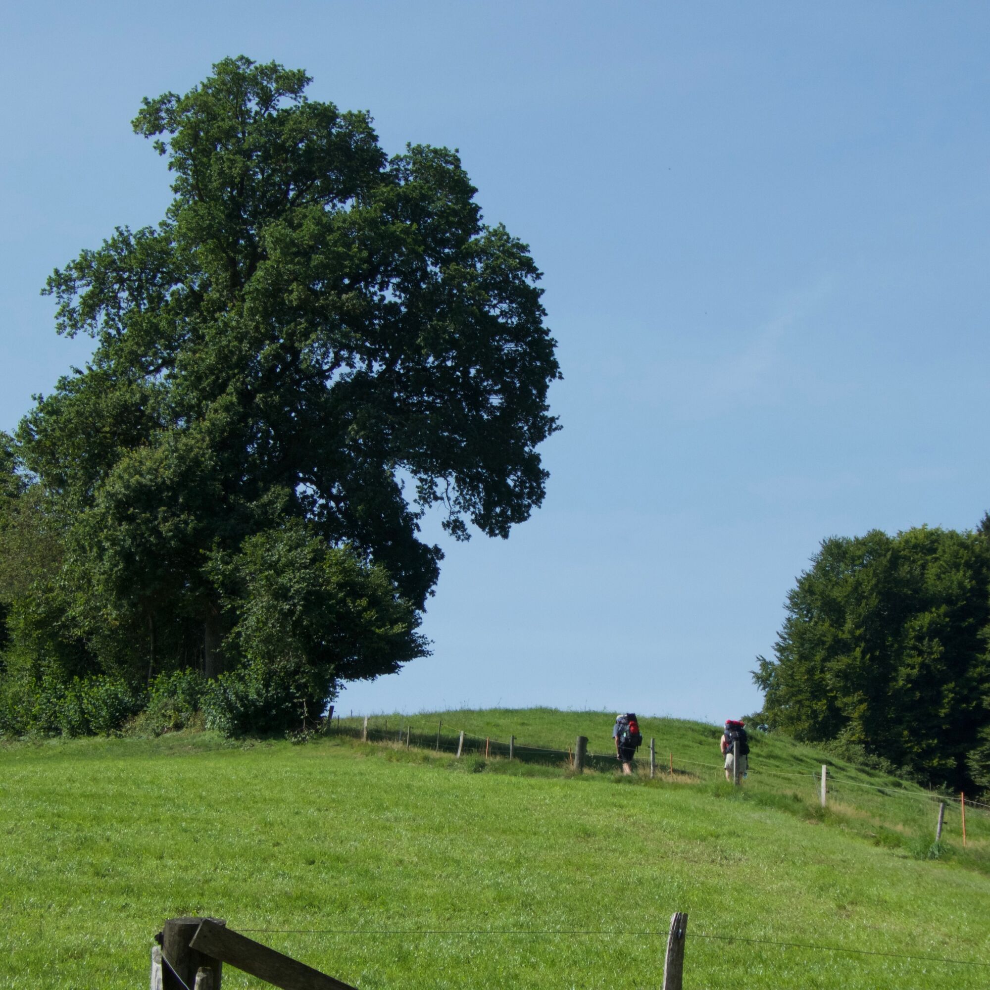
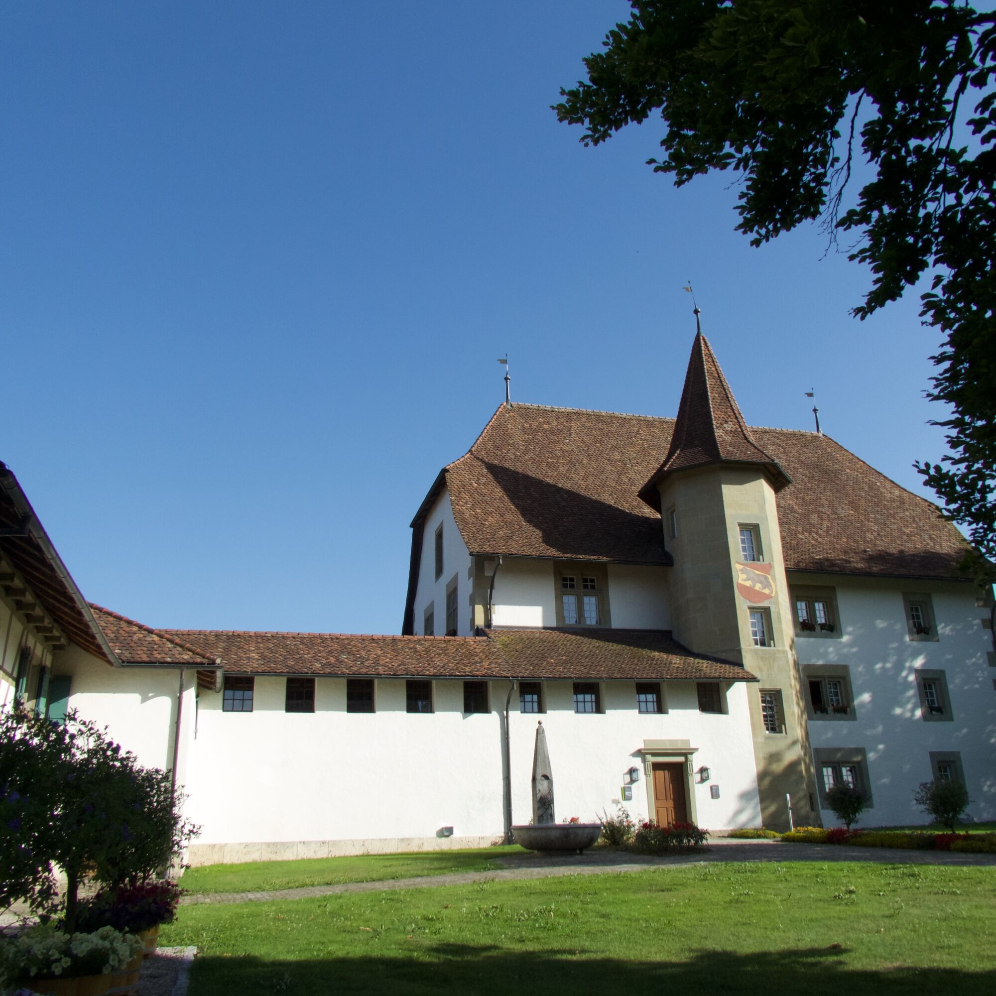
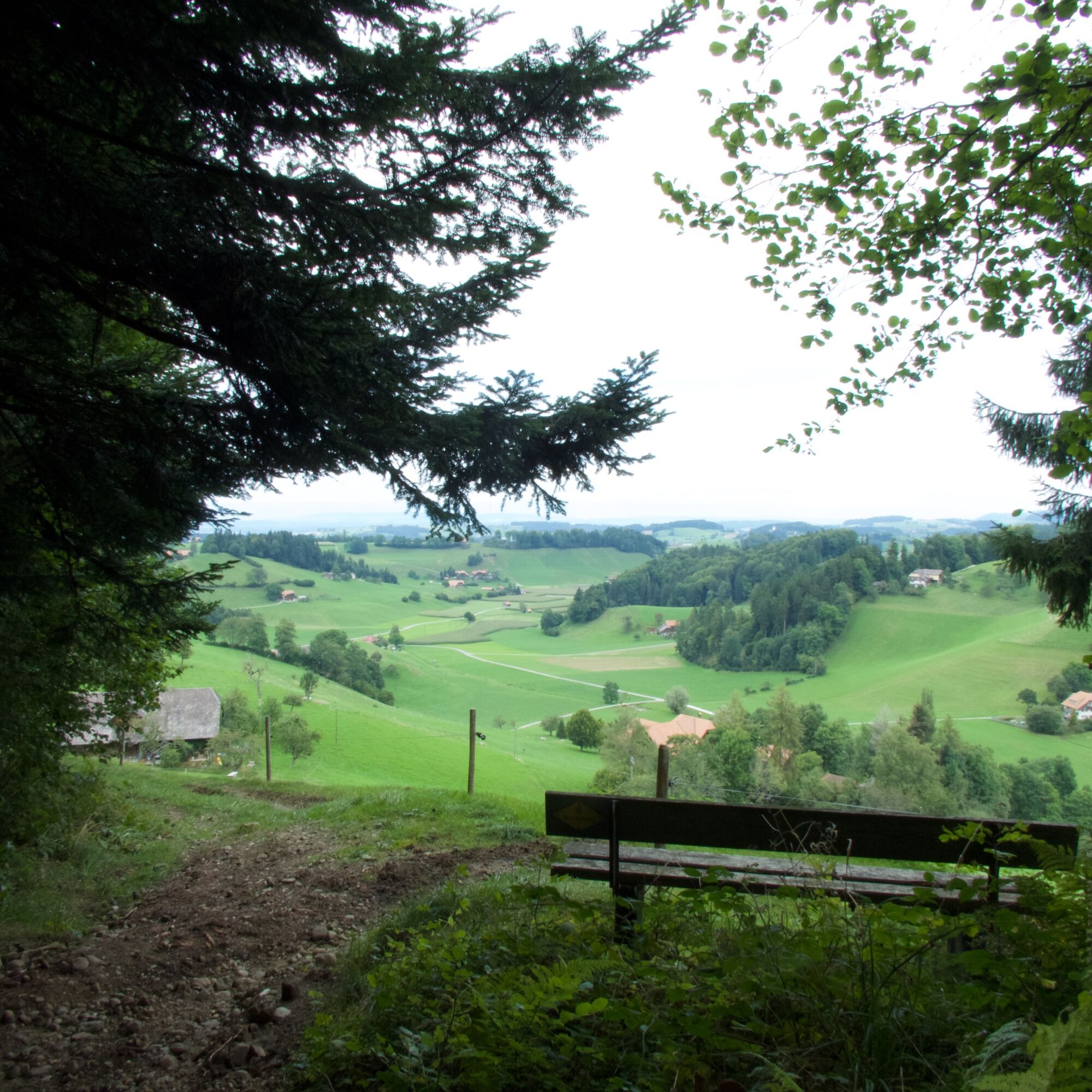
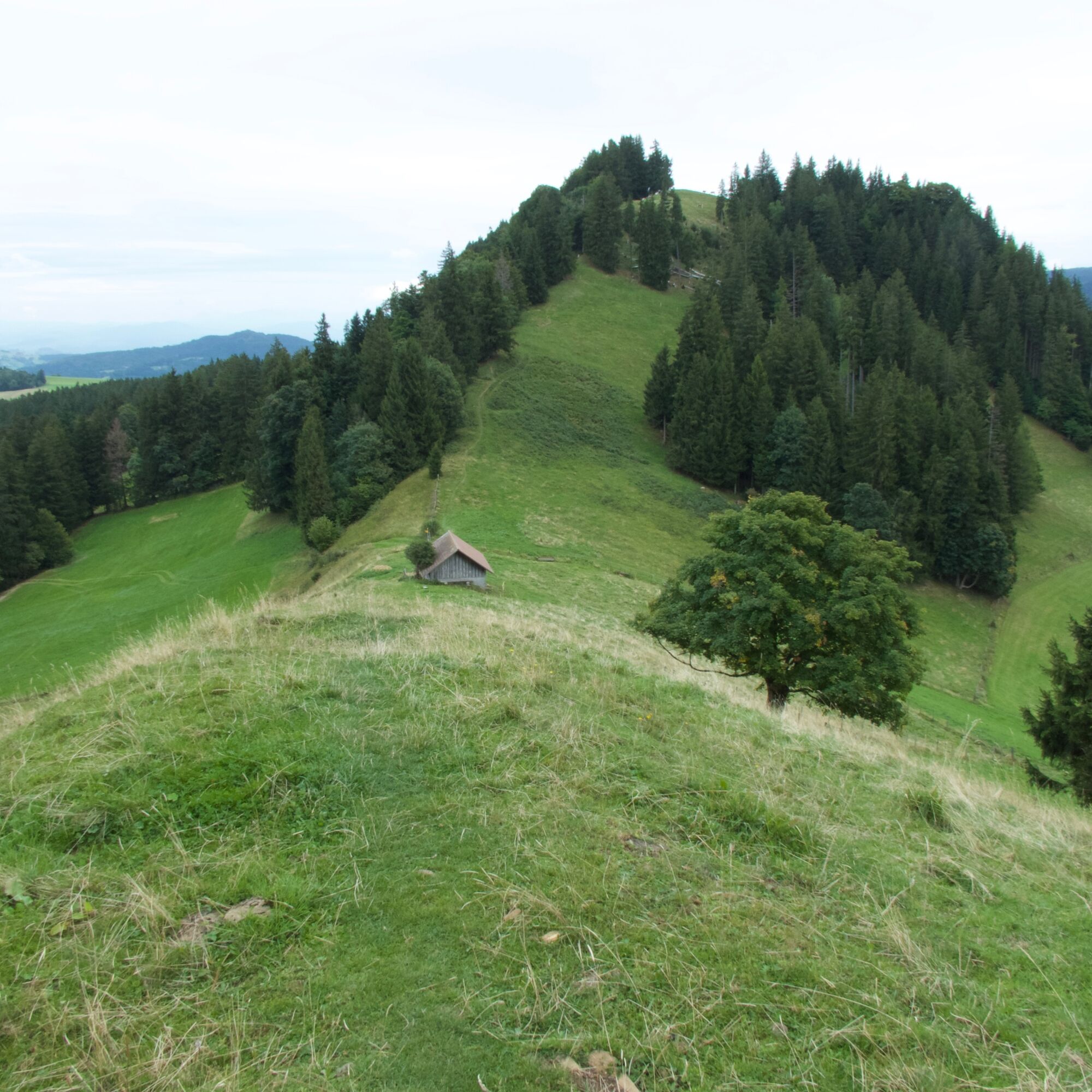
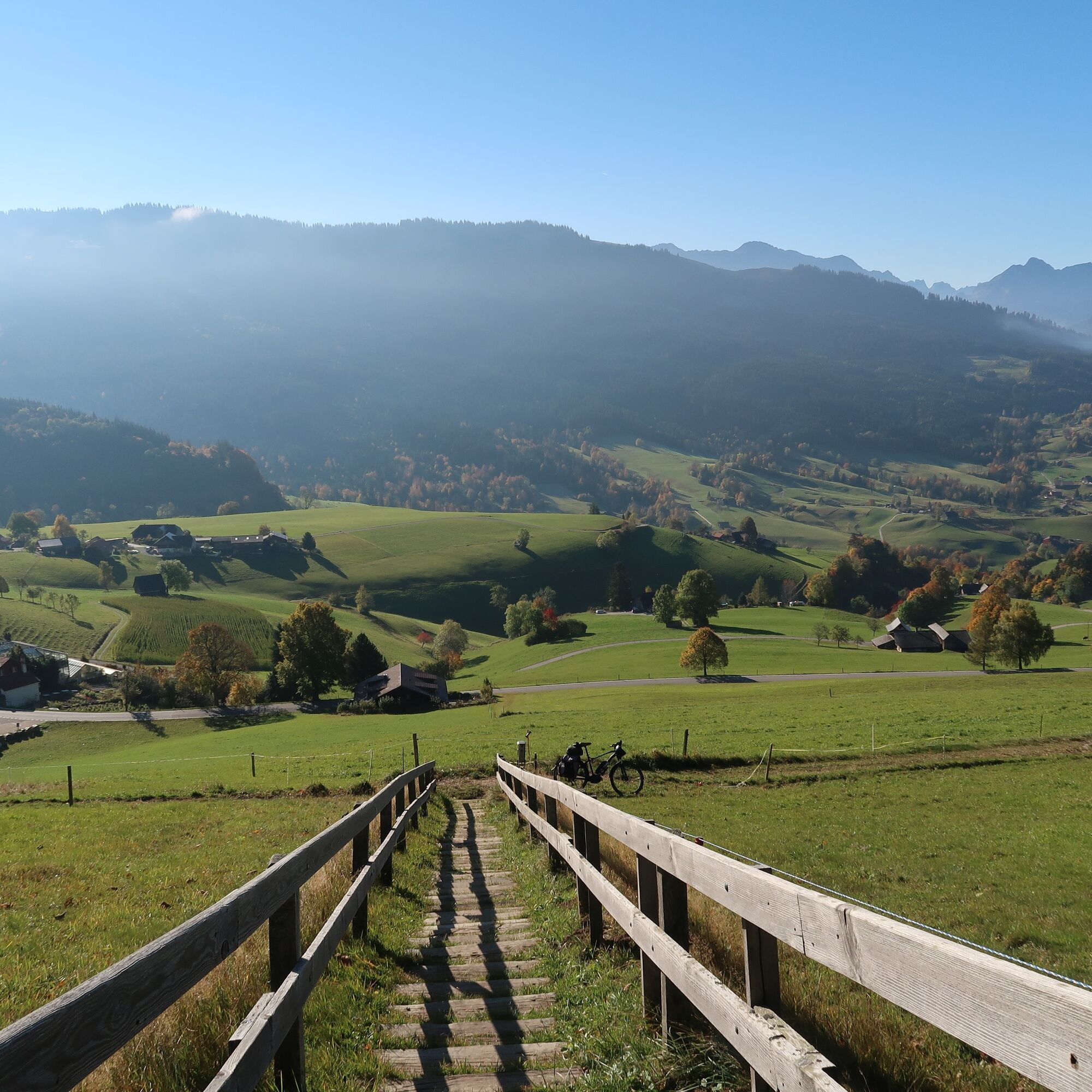
The 18th stage of the Alpine Panorama Trail starts in Rüeggisberg. The hike already begins with a highlight – the Rüeggisberg monastery ruins. In the Middle Ages, it was one of the most important monastic buildings in Switzerland. A short detour to the ruins is worthwhile before continuing the path to Schwarzenburg. Along an asphalt road with magnificent views of the Alpine range, you ascend towards the Riedstettwald. You reach the Rossgraben through a beautiful forest section, passing the idyllic Weidligraben and the Schwandbach bridge. Then you cross the Sense River via the Rossgrabe bridge. After this, a gravel road leads to Elisried after about two hours of hiking. You then walk about three kilometers further on an asphalt road to Schiltberg. Next follows the strenuous part of the hike: In the next almost two hours, more than 500 meters of altitude are overcome. Forests and pastures alternate up to the Guggershorn. Once at the saddle, you climb the last few meters via a “heavenly ladder” up to the rock spur. At the top, 1283 meters above sea level, there is a fantastic view of the surrounding mountains such as Eiger, Mönch, and Vanil Noir. To the north, the view wanders to the Chasseral and Mont Racine. The last descent along a nicely laid path ends in Guggisberg, the destination of this roughly five-hour stage.


Normal hiking equipment
T1


Obľúbené výlety v okolí
-
4,6
Gantrisch Summit Hike, 2176 m elevation
strednáTuristika 9,13 km -
4,5
Wasserscheide - Gantrisch Seeli
svetloTuristika 9,33 km -
4,8
Summit hike Ochsen, 2188 m above sea level
strednáTuristika 7,94 km -
4,0
Circular hike Gürbequelle
strednáTuristika 8,24 km -
5,0
Gantrisch via ferrata
strednáVia ferrata 8,41 km -
4,5
Vreneli Trail Guggisberg
strednáTematická trasa 5,35 km -
5,0
Gürbetal High Trail (SwitzerlandMobility 380)
strednáTuristika 18,2 km -
5,0
Around the Guggershorn (Switzerland Mobility 501)
strednáMountainbike 23,4 km -
Selibühl Panoramatrail (SchweizMobil 113)
svetloSnežnice 4,34 km -
4,5
Gantrisch Königsroute (SchweizMobil 502)
ťažkéMountainbike 30,4 km
Turistika a stopovanie


Nenechajte si ujsť ponuky a inšpiráciu na ďalšiu dovolenku
Vaša e-mailová adresa bol pridaný do poštového zoznamu.





