







Les Brimbelles - Belfahy
Úroveň náročnosti: T1
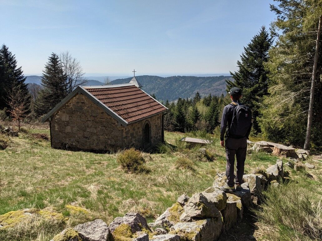
Starting at Place des Brimbelles, this hiking trail leads to the Saint-Blaise Chapel in Miellin. After enjoying this peaceful haven, the trail climbs to the Ballons Comtois Nature Reserve and the Col sans...
Starting at Place des Brimbelles, this hiking trail leads to the Saint-Blaise Chapel in Miellin. After enjoying this peaceful haven, the trail climbs to the Ballons Comtois Nature Reserve and the Col sans Nom at an elevation of 1,000 meters.

Áno
Hiking boots suitable for the terrain (even for children!).
Telescoping hiking poles (useful for stability and to relieve pressure on the joints).
Cell phone and spare battery, if needed.
Assess potential risks by consulting mountain professionals, refuge staff, and lodge operators.
Inform a close friend or family member of your plans and contact them again in case of any changes: departure and return times, number of participants along with each person’s phone number, vehicle(s), and parking.
Avoid going alone; use equipment appropriate for the activity, properly adjusted and in good condition, such as a headlamp, a complete first-aid kit, a survival blanket, etc.
Belfahy (70)
www.viamobigo.fr
T1
Obľúbené výlety v okolí
-
5,0
Discovery trail circuit at the Ballon d'Alsace
strednáTuristika 2,69 km -
Walk at Bruckenwald Farmhouse Inn "On the old border"
strednáTuristika 6,41 km -
Farm-Auberge Grand Langenberg walk "Towards the wild forests of the Ballon d'Alsace"
strednáTuristika 6,93 km -
5,0
HIKING - THE STATUE OF SAINTE BARBE VIA THE ROCHES DU SABBAT
strednáTuristika 10,1 km -
Crossing of the Vosges Massif - Stage 19 - Giromagny - Belfort
strednádiaľková pešia trasa 21,9 km -
Crossing of the Vosges Massif - Stage 18 - Ballon d'Alsace - Giromagny
strednádiaľková pešia trasa 11,6 km -
Walk Farm-Auberge Baerenbach "Along the three streams"
strednáTuristika 4,78 km -
Lochberg Farm Inn Route - Walk accompanied by centenary beeches
strednáTuristika 3,64 km -
5,0
Le Rouge Gazon
strednáTuristika 4,70 km -
The balconies of Bussang
strednáTuristika 7,72 km

Turistika a stopovanie


Nenechajte si ujsť ponuky a inšpiráciu na ďalšiu dovolenku
Vaša e-mailová adresa bol pridaný do poštového zoznamu.





