




Ruohosaari circuit, Lappeenranta

This kayaking route starts from Myllysaari through the harbor area toward Pikisaari, taking care of the harbor's boat and cruise ship traffic. Under the bridges you reach the Sunisenselkä side. The main...
This kayaking route starts from Myllysaari through the harbor area toward Pikisaari, taking care of the harbor's boat and cruise ship traffic. Under the bridges you reach the Sunisenselkä side. The main resting spot on this route is the lean-to shelter at Ruohosaari. Other possible landing places include the beaches at Sammonlahti, Korkkitehtaankanta, and Tyysterniemi. At the beaches, the canoe should be guided to the edge areas so as not to endanger swimmers, for whom the beaches are primarily intended. On the outbound or return trip, you can stop at the lean-to shelter at Karhusaari.

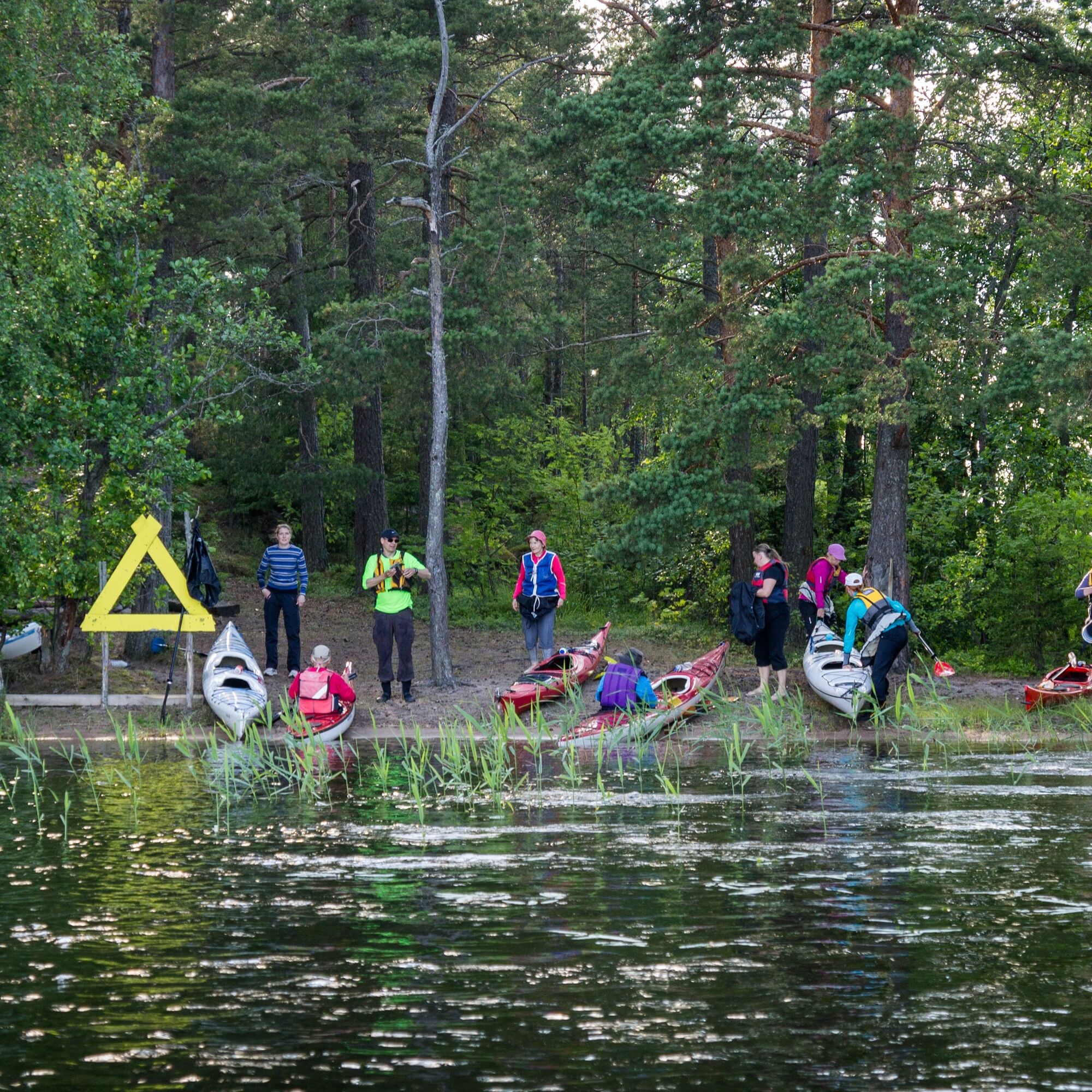
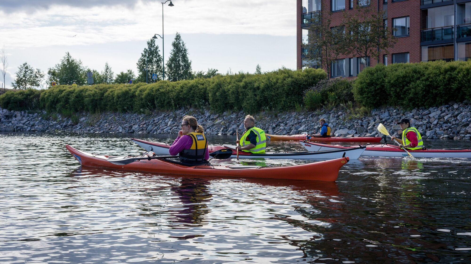
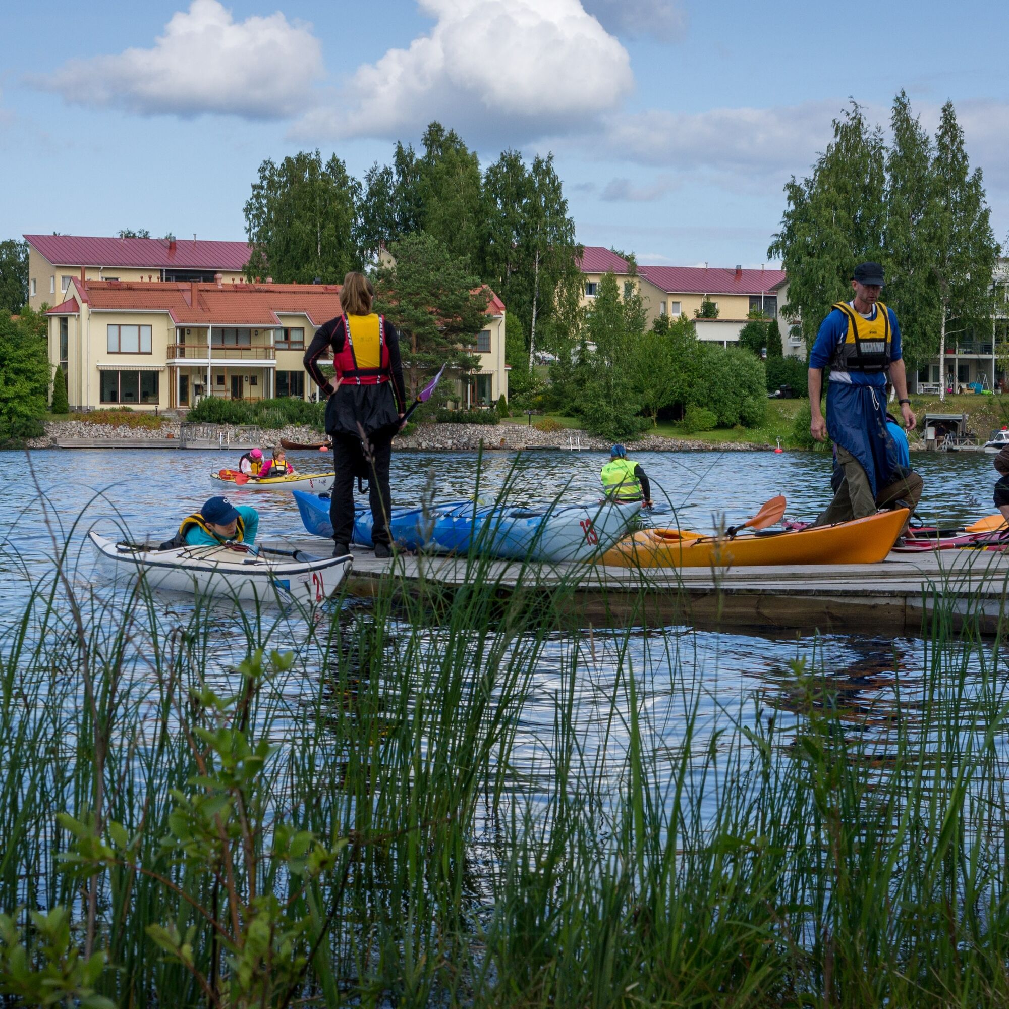
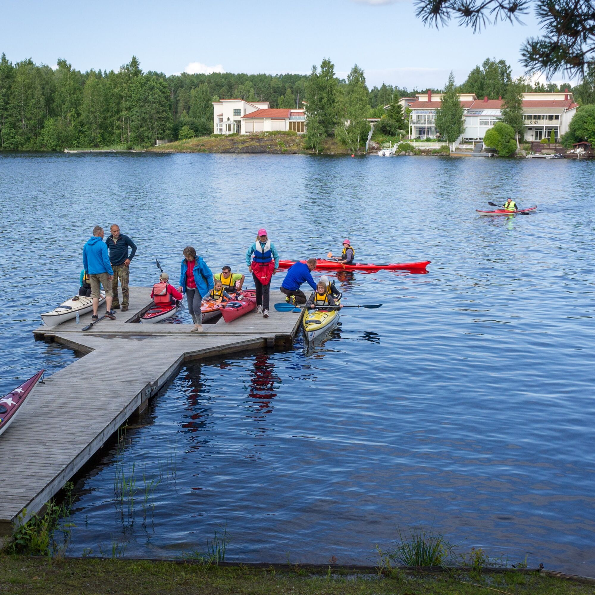
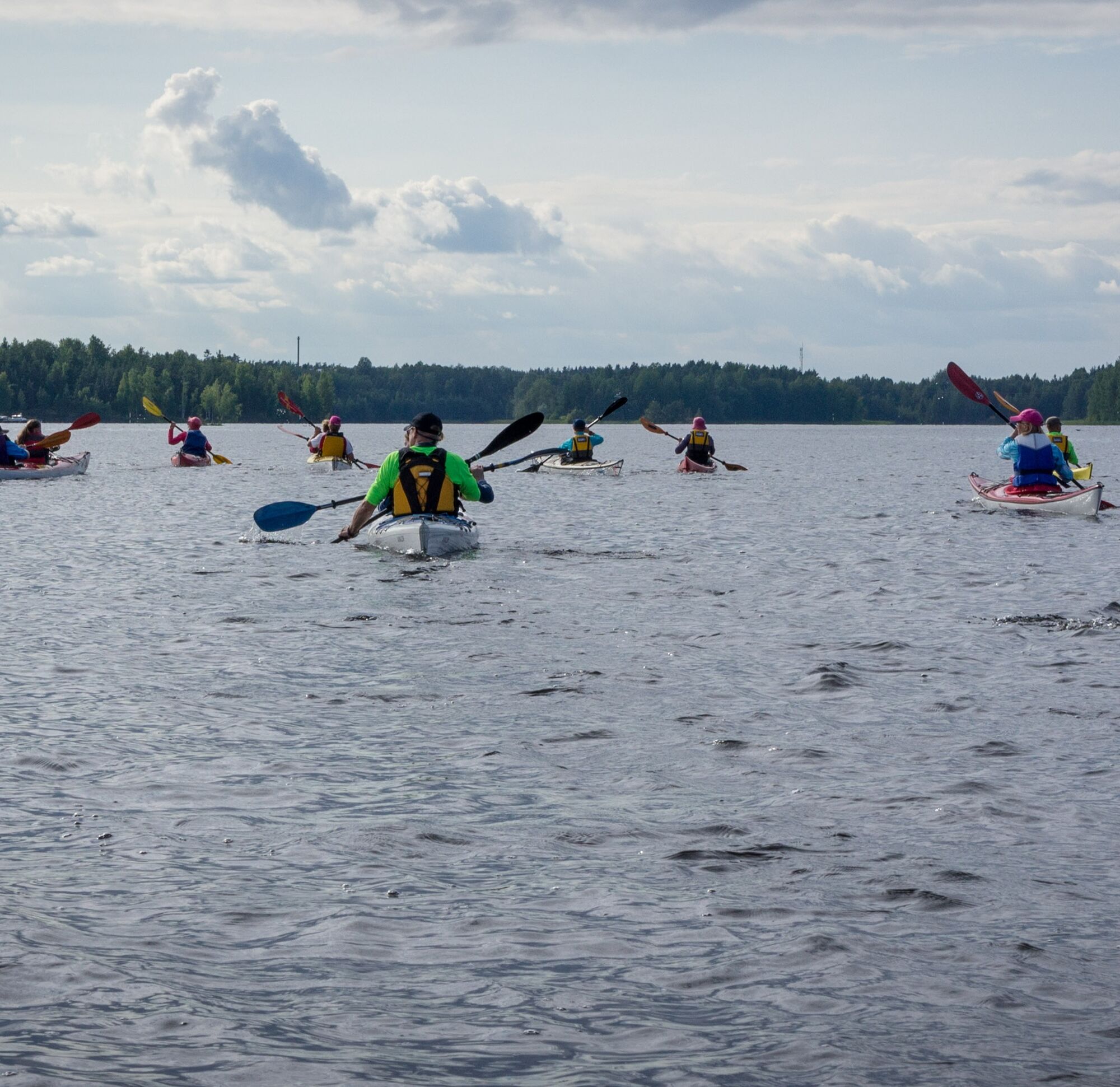
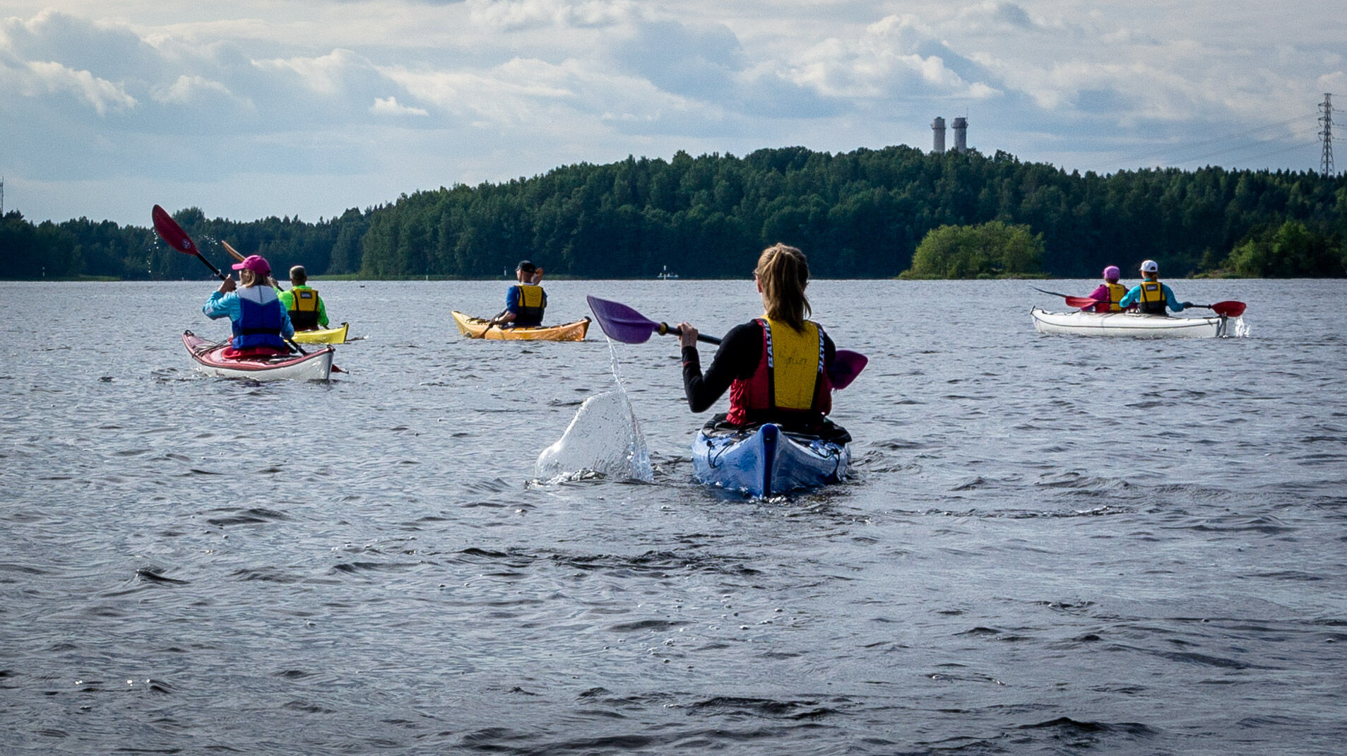
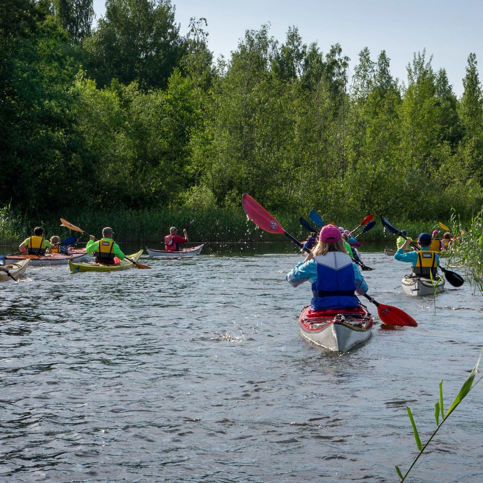
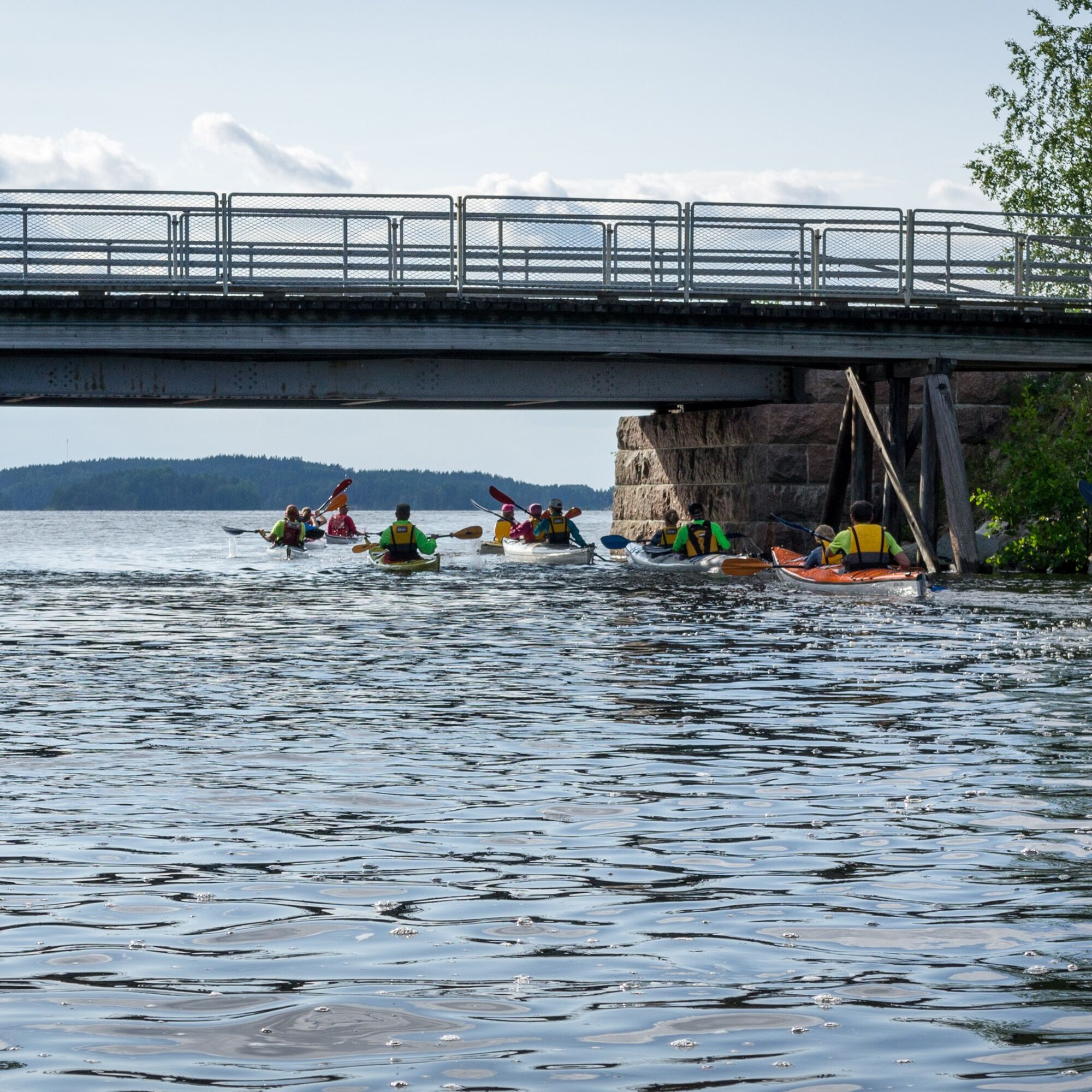
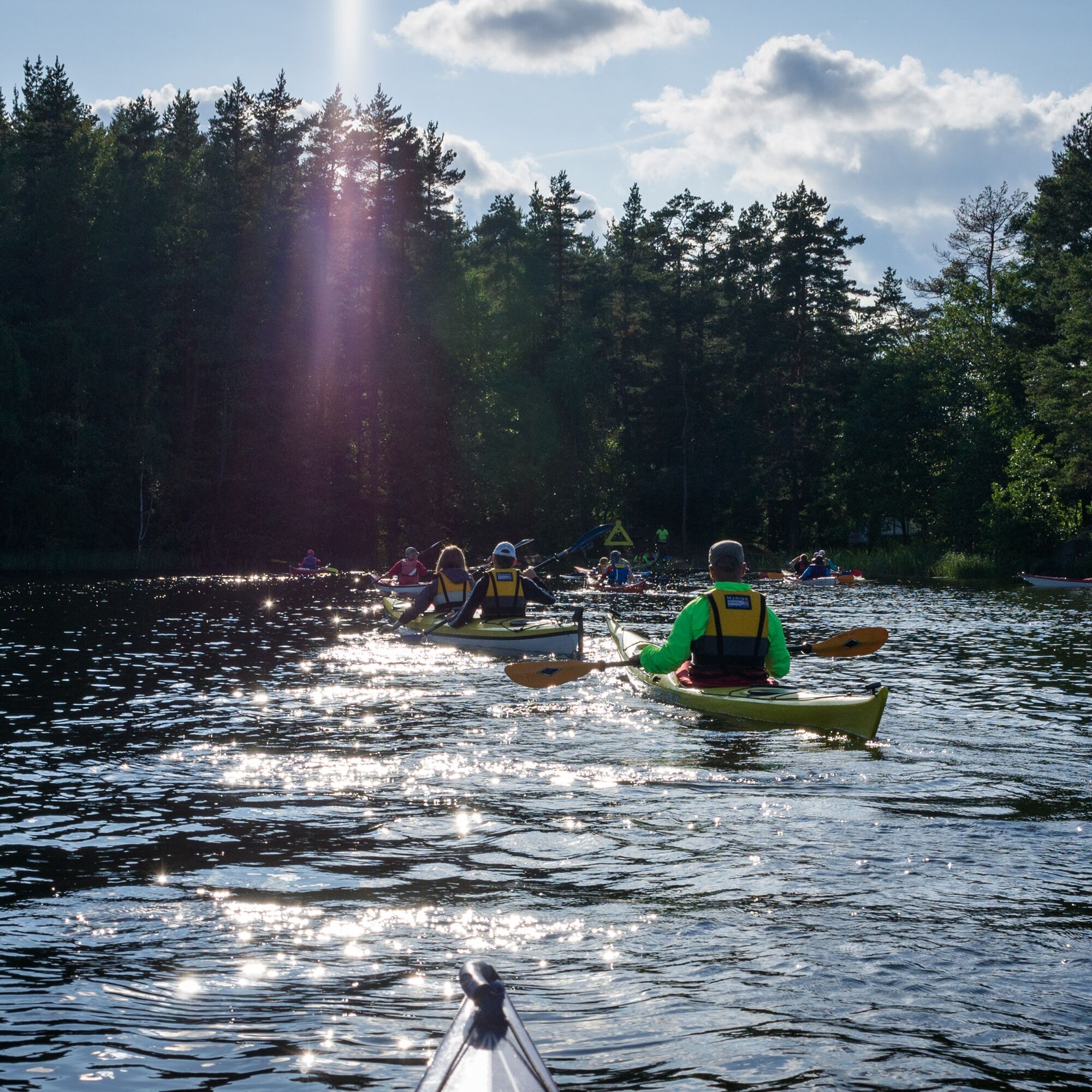
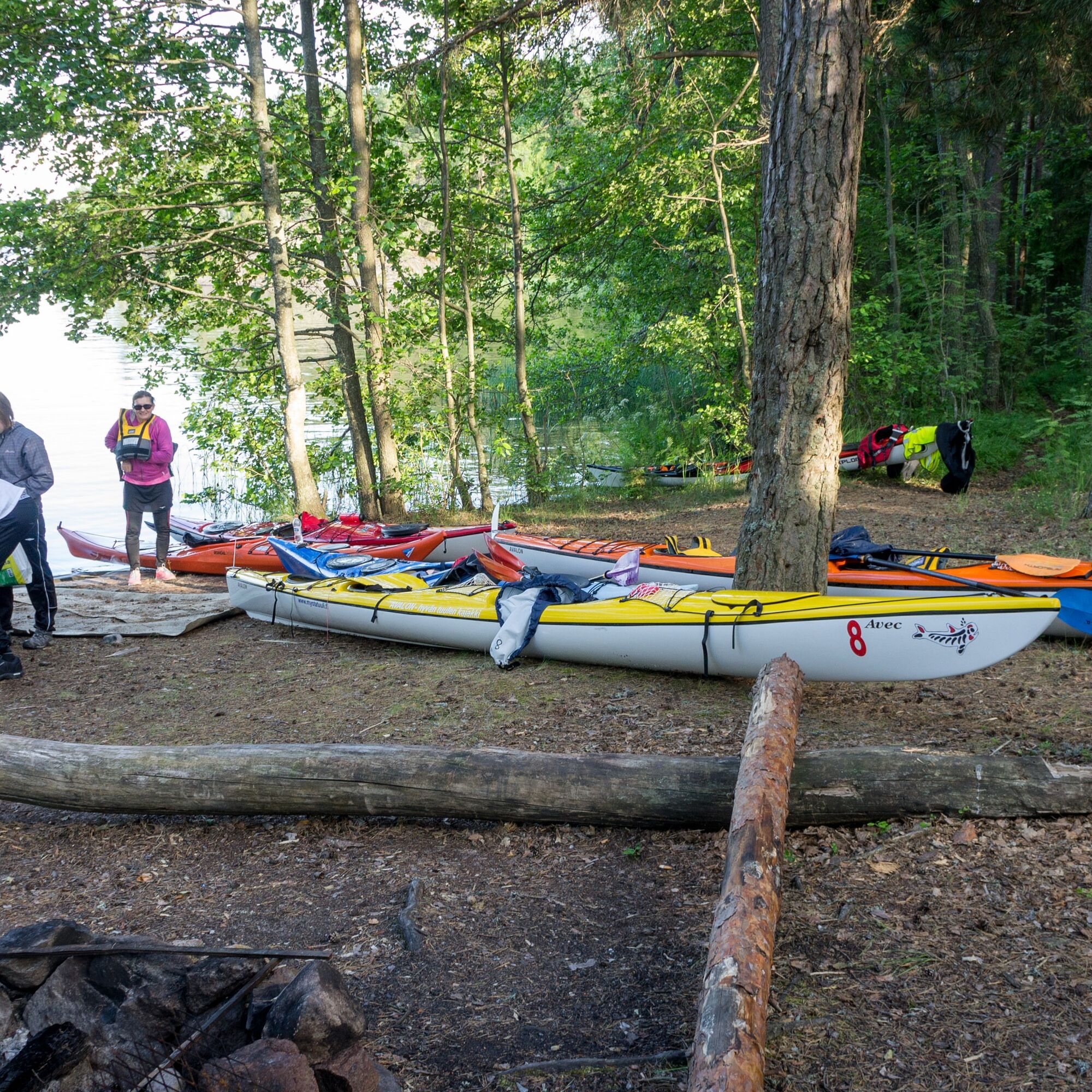
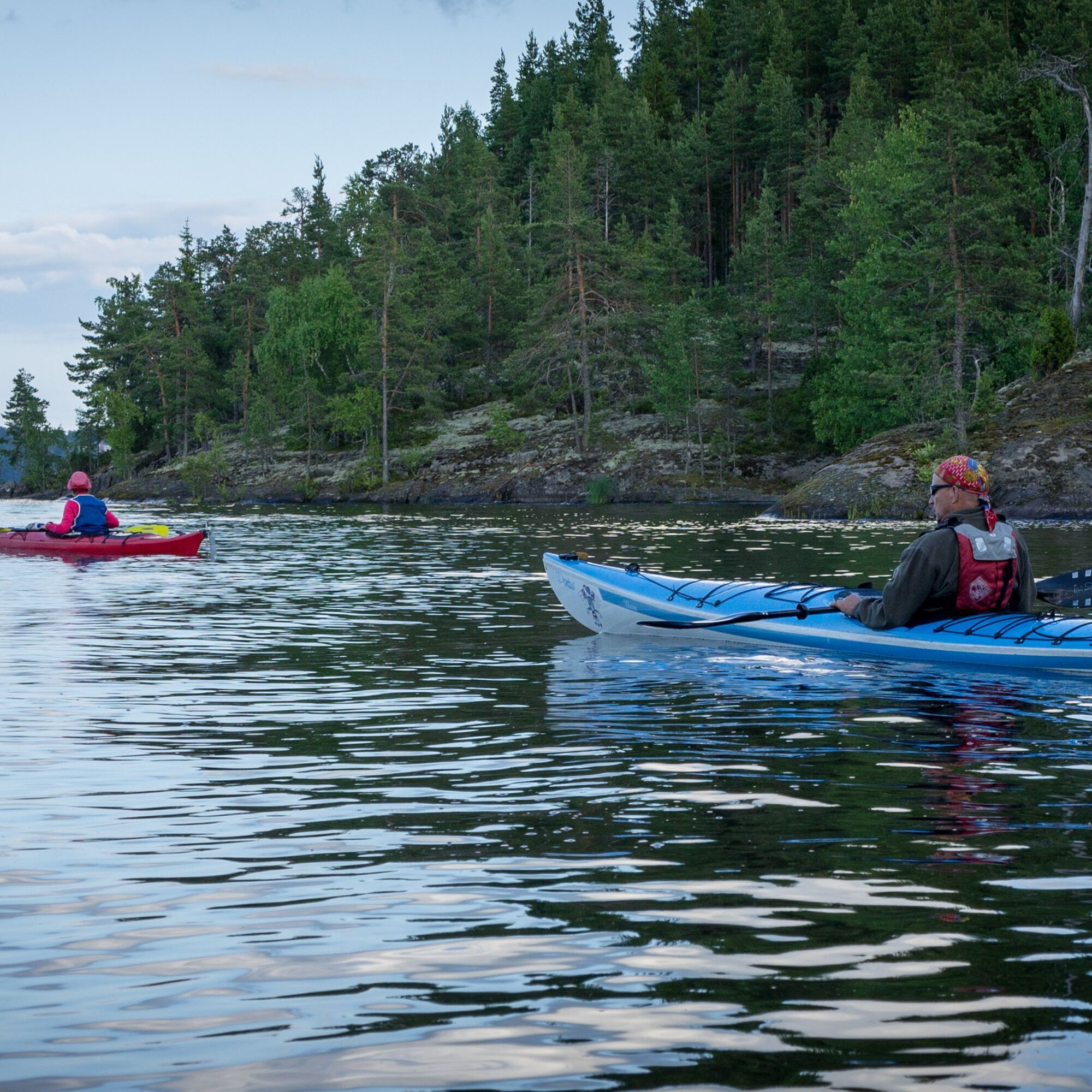


The Ruohosaari circuit starts from Myllysaari in Lappeenranta, where there is Saimaan Latu's paddling center. The canoe can also be launched from nearby Kirkkoherranlahti (dog bathing place).
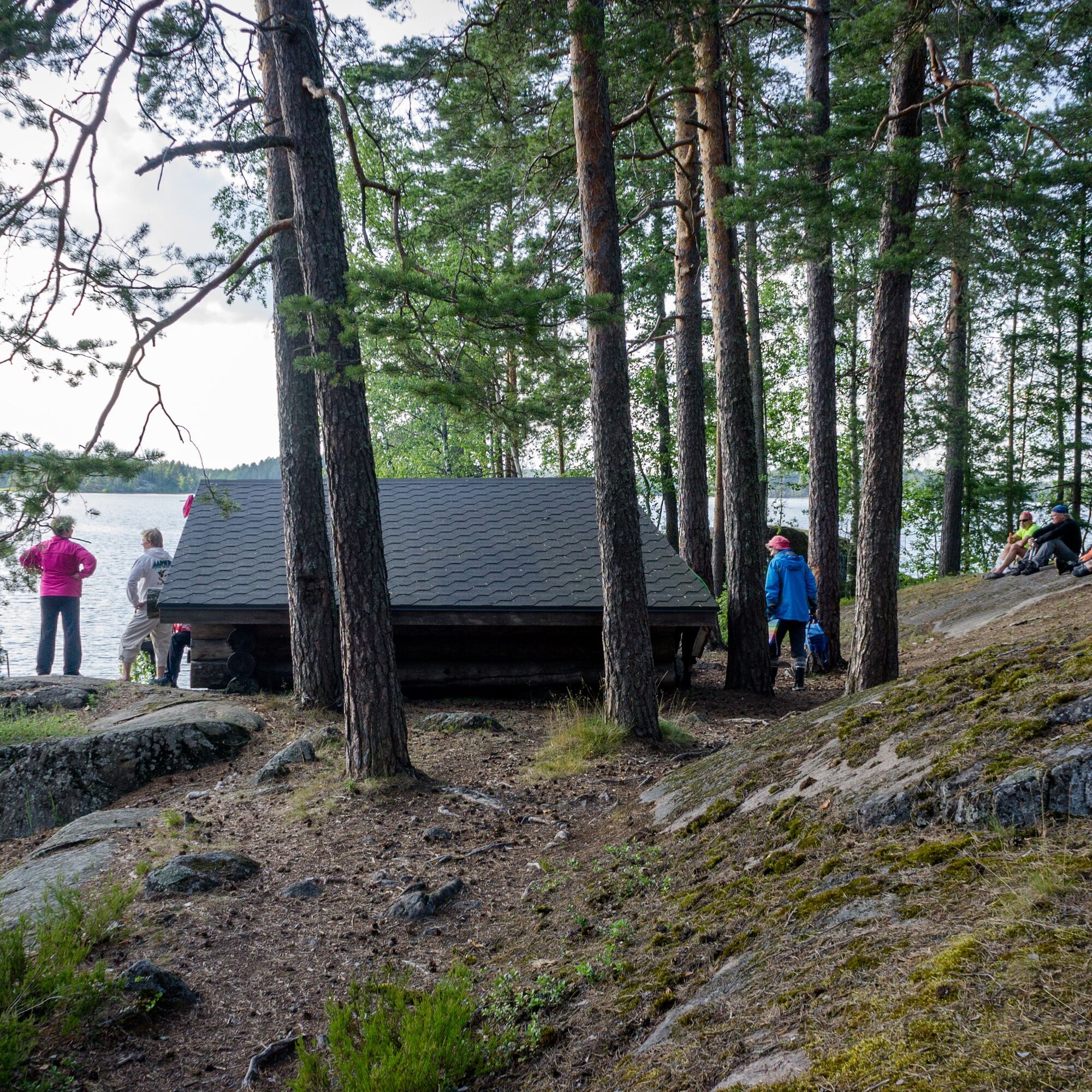
First, the route heads west of the Kukkosaaret islands toward Karhusaari, where you can take the first break at the Etelä-Karjalan virkistysaluesäätiölean-to shelter if you want. After Karhusaari, the direction heads toward Pikisaari, which is circled from the north side. After the Pikisaari circuit, you arrive at Pallonlahti, from where after crossing Taipalsaarentie you continue to Voisalmi. From the strait, you dodge under Voisalmentie and arrive at Sunisenselkä. The paddler can take a break at Voisalmi beach and then leave from there crossing the open water toward Ruohosaari. At Ruohosaari there are a lean-to shelter, firewood shelter, and a toilet. There is a good landing spot for paddlers a short distance from the lean-to.
From the Ruohosaari lean-to, the journey continues by circling Ruohosaari counterclockwise. From the deep-water open stretch, you can head to a beach. If desired, you can take a short stretching break here and hike the approximately 2 km Parkinmäki nature trail. Paddling continues from the beach along the shores toward Sammonlahti beach and later also toward Korkkitehtaanranta. After Korkkitehtaanranta, head toward Tyysterniemi and circle it again passing under road bridges and arriving at Pallonlahti. From Pallonlahti return back to Myllysaari or Kirkkoherranlahti.
TAKE CARE OF SAFETY! The Lappeenranta marina is busy with boat and cruise traffic. Large cargo ships pass through the deep channel from the Saimaa Canal to the factories in the water system. Paddlers must give way to other water traffic and stay outside the channels near the shore. Also beware of the waves caused by large vessels!
Metsähallitus guidelines for safe water hiking
Current warnings on land and sea areas
It is safest to travel in groups on land and water if you are not familiar with the terrain or water area.
Remember to wear a life jacket.
Before the trip, check the weather forecasts.
In an emergency, call 112. Give your location, what has happened, and listen to instructions.
Arrival at Myllysaari or the head of Kirkkoherranlahti (53100 Lappeenranta) by car or bicycle.
Address: Myllysaarenpolku, 53100 Lappeenranta
Driving cars is only allowed in the Myllysaari family park area during the winter months, from about mid-November to mid-April. At other times the gate is closed. Holders of disabled parking permits can receive the gate lock key from the sports department if necessary.
Rowers and paddlers have the right to drive service traffic to the rowing and canoeing buildings between mid-April and mid-November from 22:00 to 09:00.
There is no direct public transport to the starting point of the route at Myllysaari in Lappeenranta.
The nearest local transport stop is at the central hospital, from where it is about 1 km to Myllysaari.
Lappeenranta local bus schedules
You can arrive in Lappeenranta by train or coach.
There is parking available near Myllysaari and Kirkkoherranlahti. You are not allowed to drive or park a car at Saimaan Latu's canoe shed in Myllysaari.
Popular kayaking route in Lappeenranta, including regular destinations for Saimaan Latu's Tuesday paddlings.
Obľúbené výlety v okolí
-
4,5
Taipalsaari scenic cycling route
strednáCyklistika 42,7 km -
Mikonsaari nature trail, Lappeenranta
strednáTematická trasa 2,03 km -
Pappilanniemi nature trail, Lappeenranta
strednáTematická trasa 1,78 km -
Saimaa Canal lock route by bike, Lappeenranta
svetloCyklistika 25,4 km -
Lappeenranta city cycling route
svetloCyklistika 10,7 km -
Lappeenranta Lakeside route (Rantaraitti), geological trail
svetloTematická trasa 6,09 km -
Lappeenranta-Imatra border cycling route
ťažkéCyklistika 102,7 km -
Hirvisaari route, Lappeenranta
strednáKajak / Kanu 24,0 km -
Nature and cultural trail of the Fortress
svetloTematická trasa 1,84 km -
Hämmäauteensuo Mire Nature Trail, Lappeenranta
svetloTematická trasa 3,91 km
Turistika a stopovanie


Nenechajte si ujsť ponuky a inšpiráciu na ďalšiu dovolenku
Vaša e-mailová adresa bol pridaný do poštového zoznamu.





