




Taipalsaari scenic cycling route

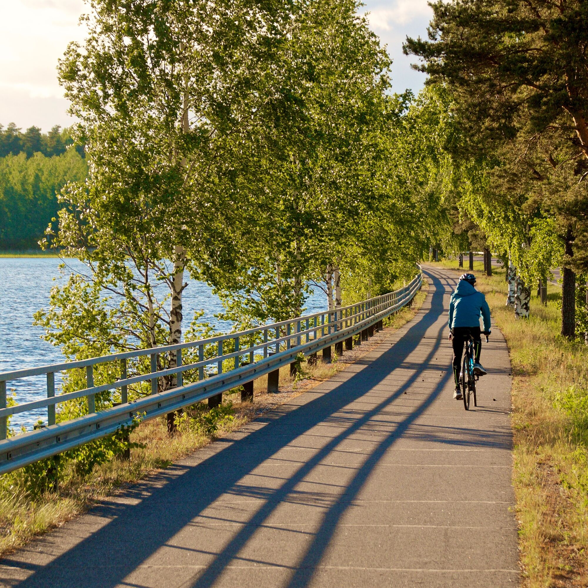
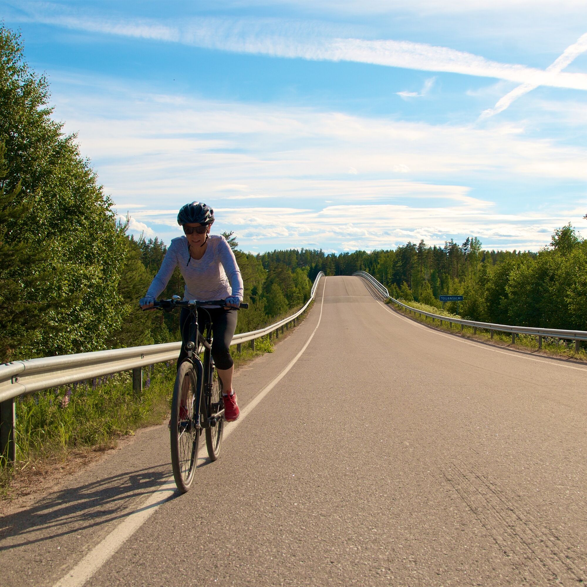
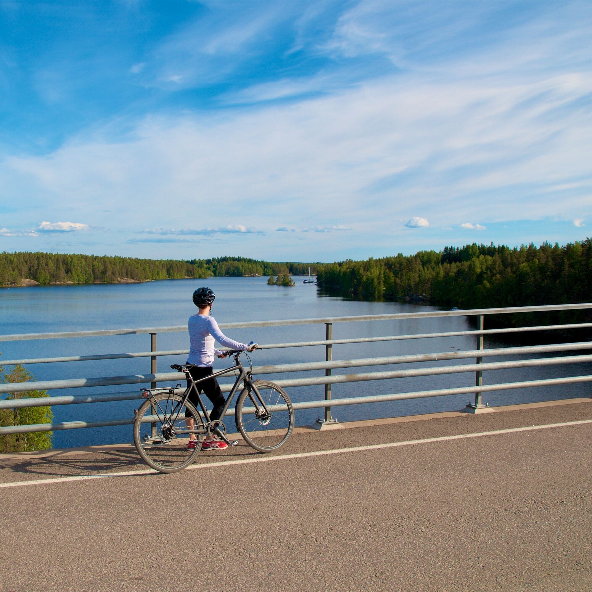
The causeway between Taipalsaari and Lappeenranta with stunning Saimaa scenery is among the most beautiful roads in Finland. It can be ridden on a paved bike path, but elsewhere on this route you must...
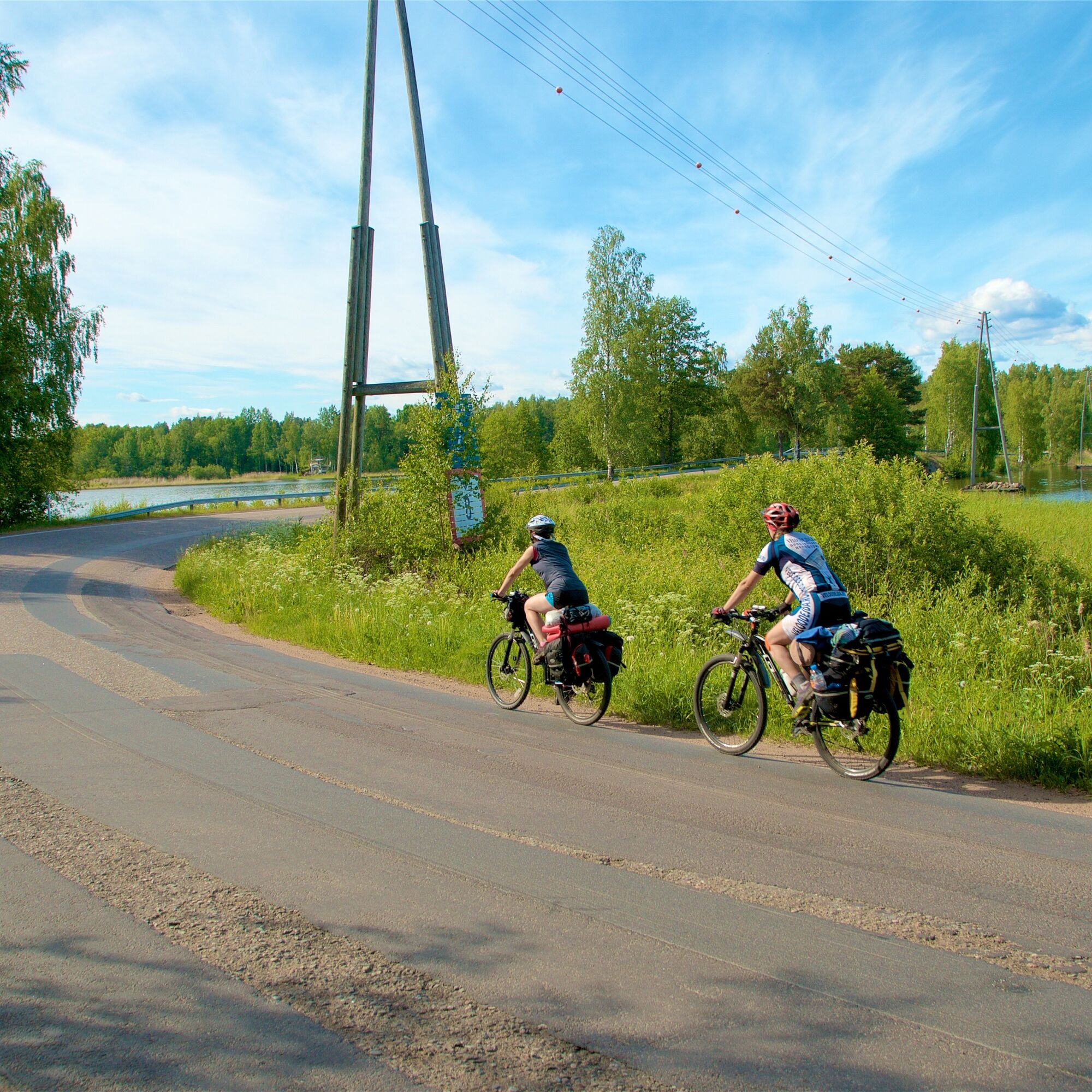
The causeway between Taipalsaari and Lappeenranta with stunning Saimaa scenery is among the most beautiful roads in Finland. It can be ridden on a paved bike path, but elsewhere on this route you must cycle on the road edge. The terrain is varied with hills, but between uphills there are downhills where cyclists can coast freely but carefully.
You can choose between two route options: the Vehkataipale loop is about 40 kilometers, and the longer, just over 50 kilometers route goes through the villages of Rehula and Levänen. The route suits all kinds of cyclists and you can also stay overnight along the scenic route, in Lappeenranta or Taipalsaari, if desired.
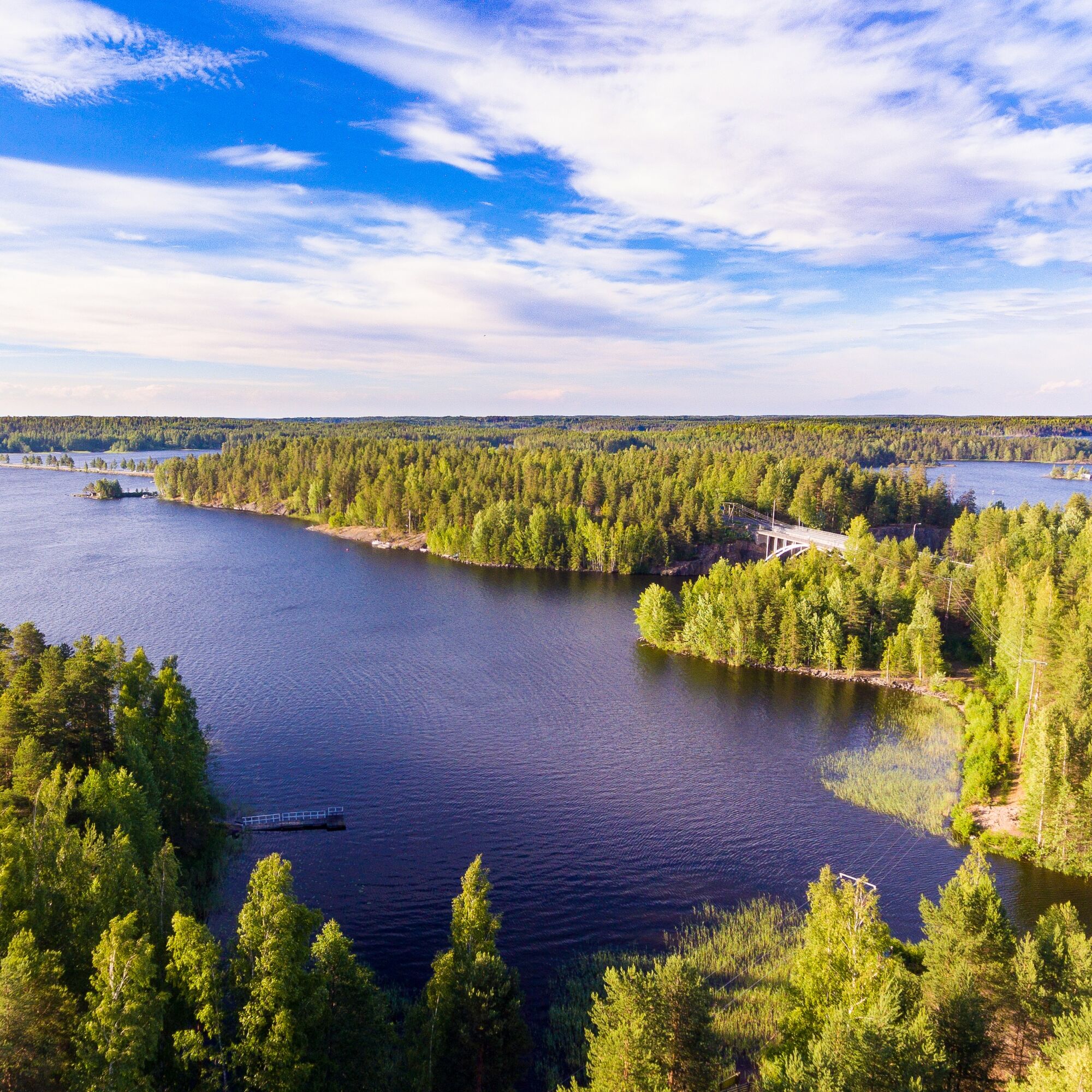
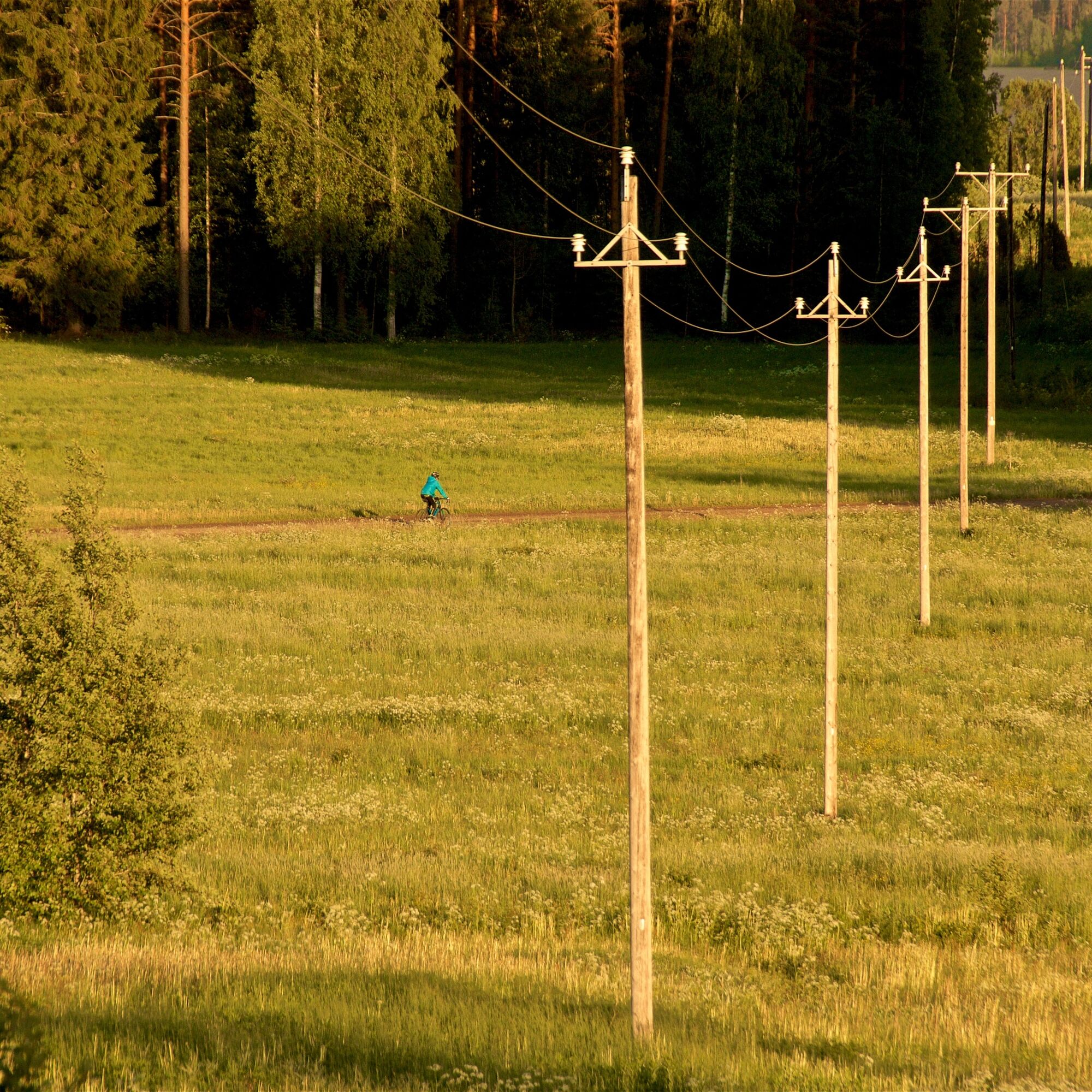
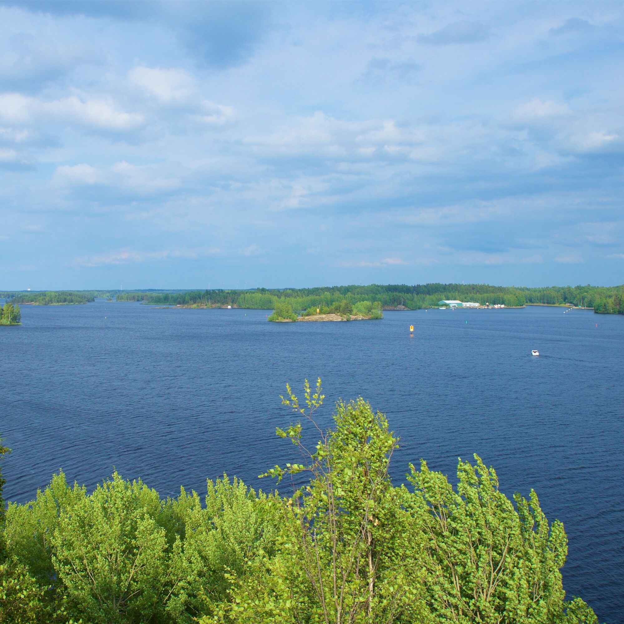
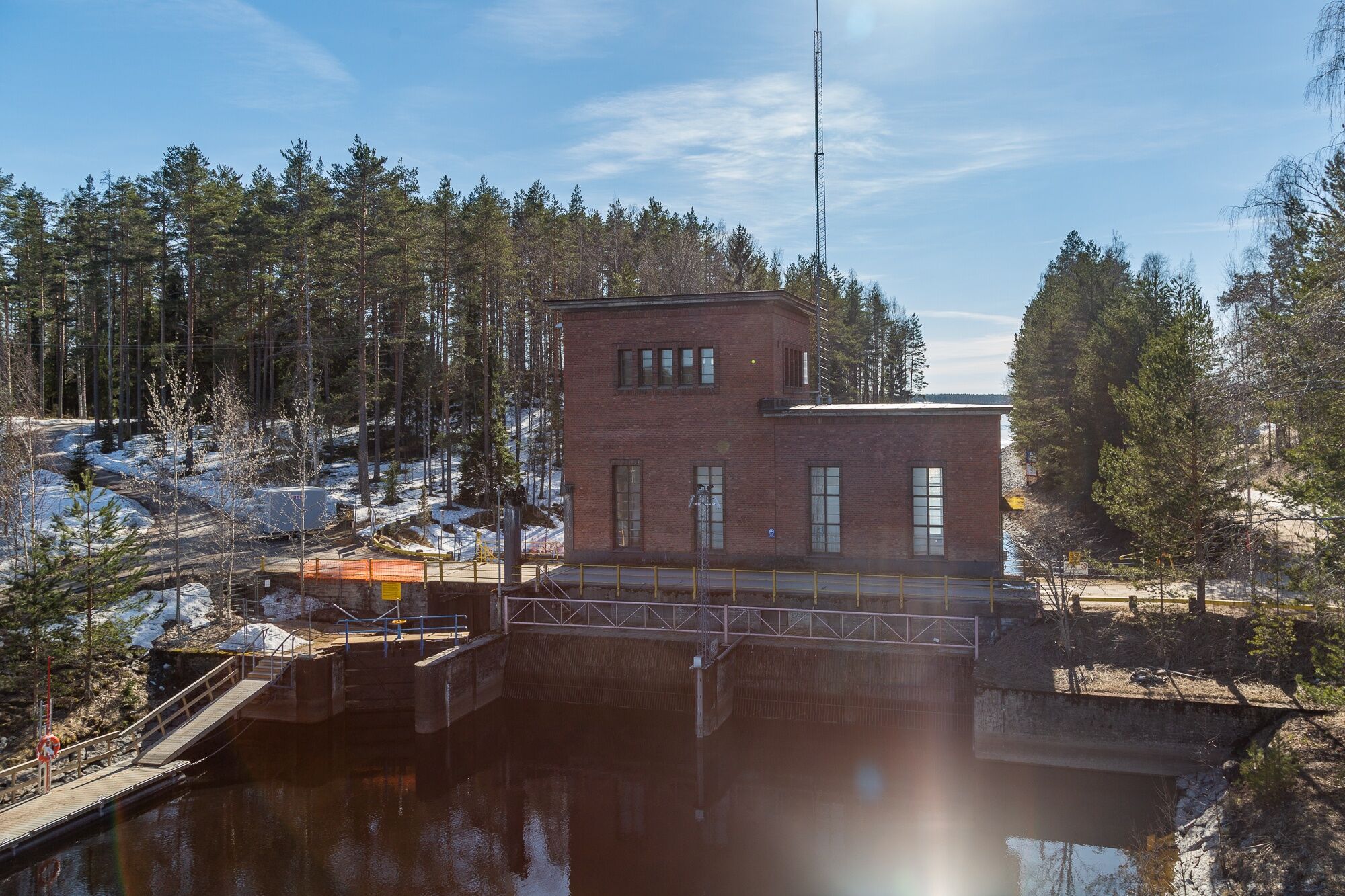
This route is known among cyclists as the Vehkataipale loop and is considered a very beautiful cycling route. In addition to the mentioned Taipalsaari causeway, the route crosses two high bridges over water (Luukkaansalmi Bridge and Toija Bridge) and the Vehkataipale pump station bridge. Along the routes, you can admire South Karelia's countryside. The cultural landscape with fields and houses offers variation from forest nature, and the lake views refresh the cyclist's mind.
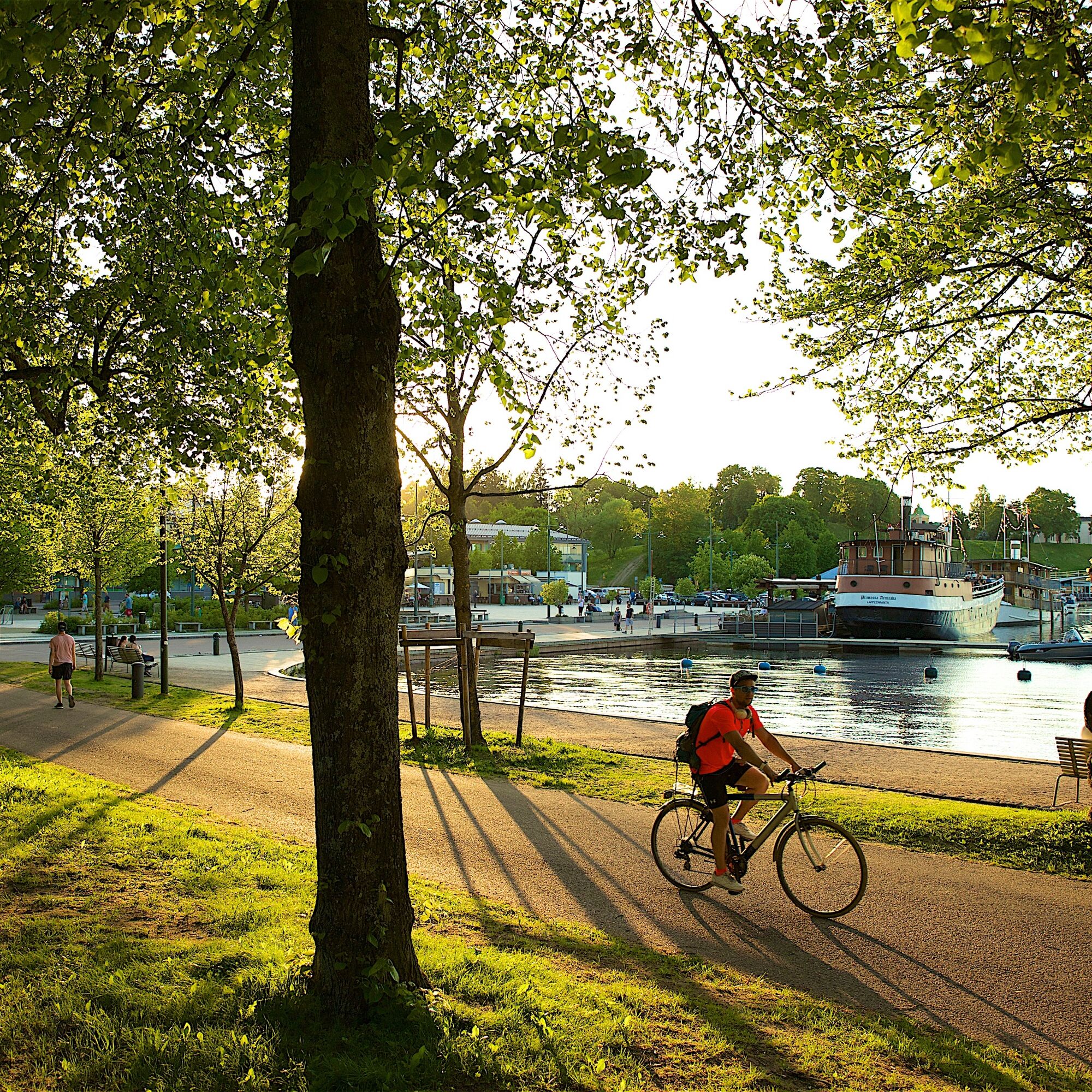
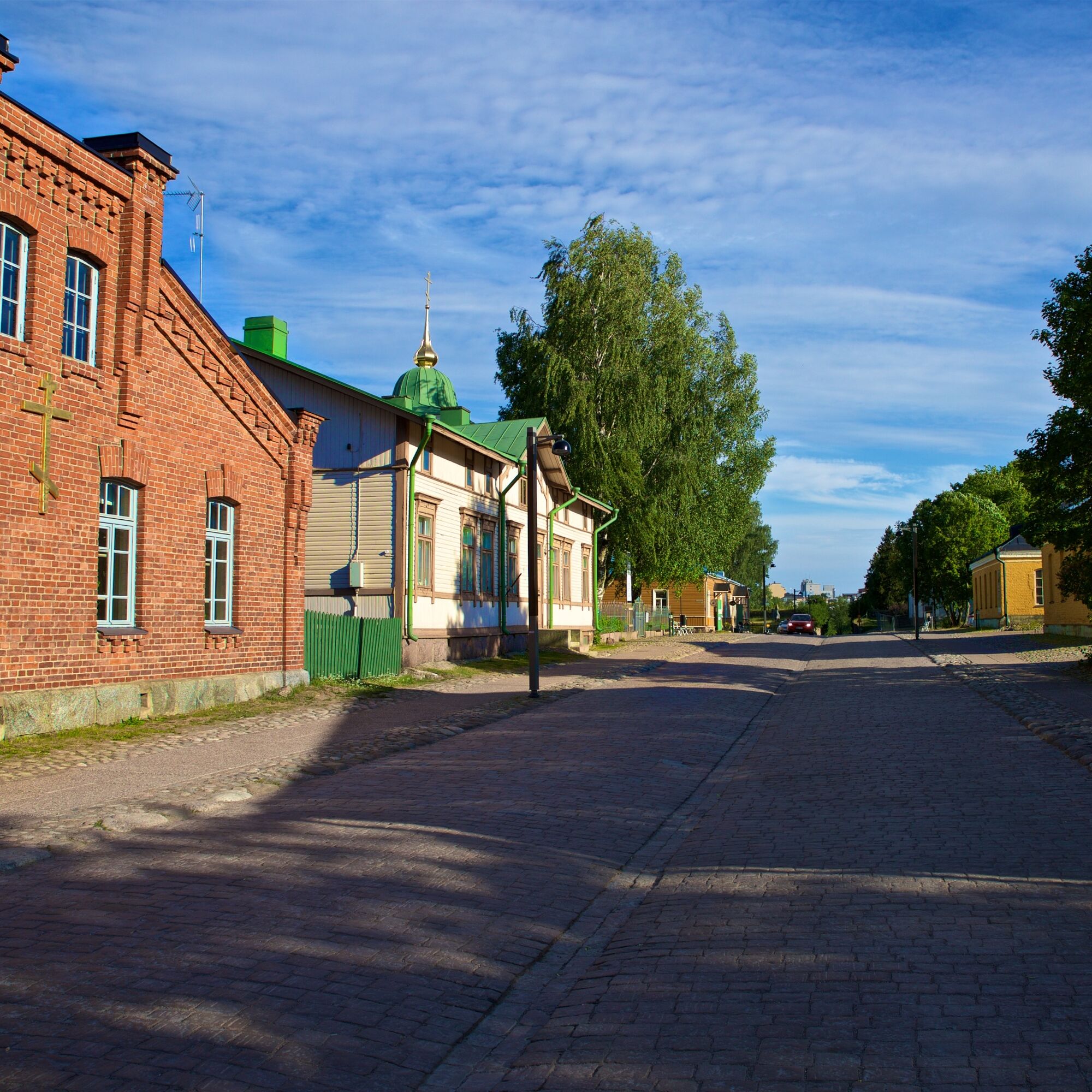
If you have not previously explored the Lappeenranta Fortress area, it is worth setting aside time there at the end of the journey. The fortress museums, exhibitions, restaurants, cafes, events, and shops welcome visitors throughout the year. Lappeenranta Fortress is part of a fortress chain built by the Russians at the end of the 18th century to protect St. Petersburg, known as the Suvorov fortresses after their builder, Generalissimo Aleksandr Suvorov.
Route surface material: asphalt. The longer route option via Levänen also includes about 10 km on gravel roads.


Stage 1: Lappeenranta Harbor Square - Vehkataipale
Lappeenranta Harbor Square - Annakatu - Imatrantie - Kaukaankatu - Lauritsalantie - Hyötiöntie - Vehkataipaleentie.
Stage 2: Vehkataipale - Taipalsaari
Toijantie - Suur-Saimaantie - Jauhialantie - Taipalsaarentie
Stage 3: Taipalsaari - Lappeenranta Harbor Square
Taipalsaarentie - Linnavuorentie - Taipalsaarentie - Satamatie.
-
Route surface material: asphalt. The longer route option via Levänen also includes about 10 km on gravel roads.
Before the trip, it is good to obtain the necessary maps and guides and check the weather forecasts. Dress appropriately for the trip. It is recommended to also bring first aid equipment, rainwear, spare clothes, and sufficient drinks, especially in summer.
In an emergency, call 112. Tell your location and what has happened, and follow the instructions.
Lappeenranta Travel Center: Ratakatu 23, 53100 Lappeenranta.
There are paid parking spaces for longer parking in the Lappeenranta Travel Center area, as well as free parking spaces for temporary parking.
If you have the enthusiasm to pedal, you can add a visit to the magnificent Sarviniemi, a Saimaa Geopark destination, to this route. It adds 24 km to the journey, the road is paved.
Target groups: active cyclists, road cyclists, occasional cyclists, families.


Obľúbené výlety v okolí
-
Mikonsaari nature trail, Lappeenranta
strednáTematická trasa 2,03 km -
Pappilanniemi nature trail, Lappeenranta
strednáTematická trasa 1,78 km -
Saimaa Canal lock route by bike, Lappeenranta
svetloCyklistika 25,4 km -
Lappeenranta city cycling route
svetloCyklistika 10,7 km -
Lappeenranta Lakeside route (Rantaraitti), geological trail
svetloTematická trasa 6,09 km -
Ruohosaari circuit, Lappeenranta
strednáKajak / Kanu 22,8 km -
Lappeenranta-Imatra border cycling route
ťažkéCyklistika 102,7 km -
Päihäniemi nature trail
strednáTematická trasa 2,87 km -
Hirvisaari route, Lappeenranta
strednáKajak / Kanu 24,0 km -
Nature and cultural trail of the Fortress
svetloTematická trasa 1,84 km
Turistika a stopovanie


Nenechajte si ujsť ponuky a inšpiráciu na ďalšiu dovolenku
Vaša e-mailová adresa bol pridaný do poštového zoznamu.





