


Nevahööd
Úroveň náročnosti: S2
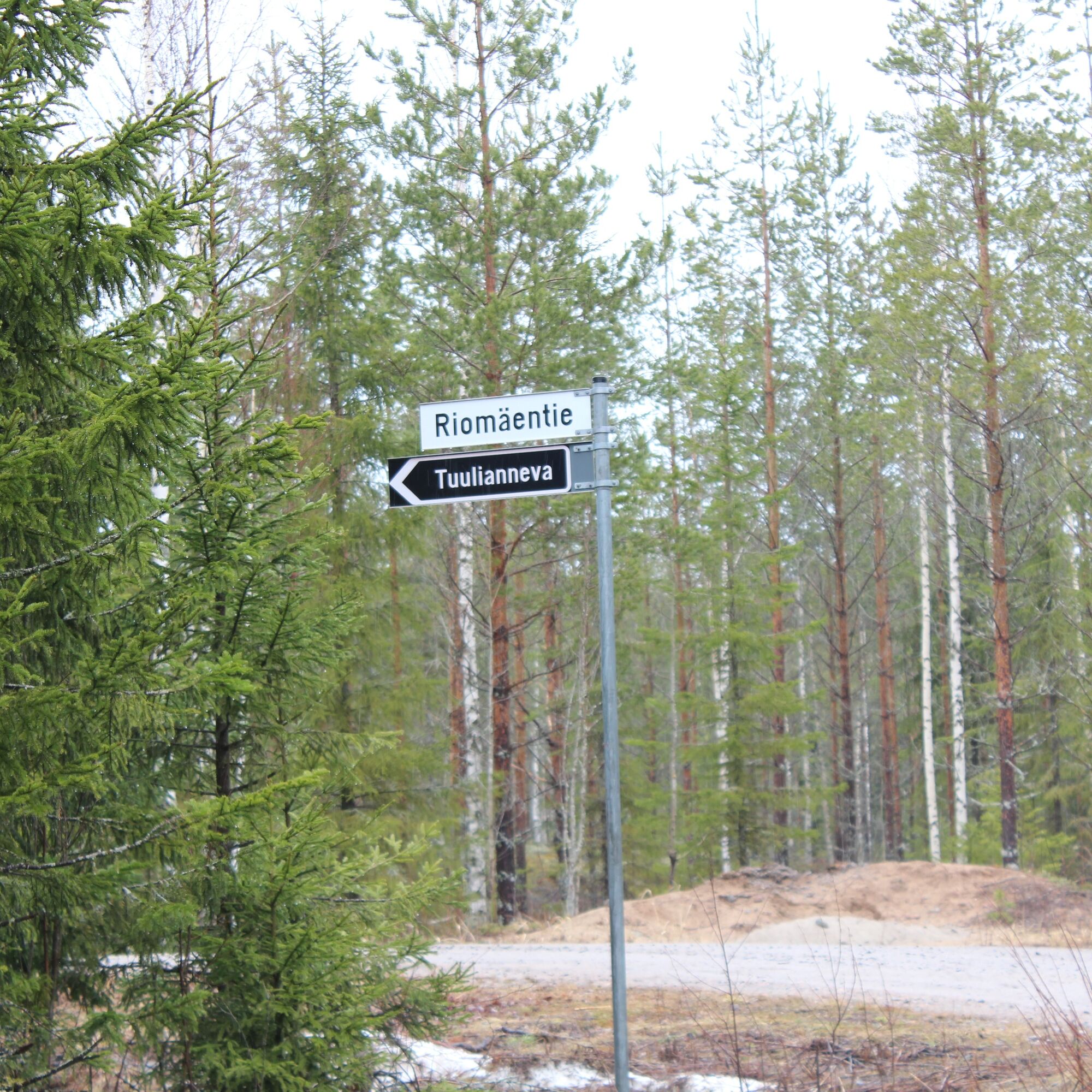
Tuulianneva is located about 16 km south of Ilmajoki center. The road to the swamp comes from Kurikka side. There are forest roads near the swamp. Part of the swamp has been cleared for peat production...
Tuulianneva is located about 16 km south of Ilmajoki center. The road to the swamp comes from Kurikka side. There are forest roads near the swamp. Part of the swamp has been cleared for peat production and partially drained. There are several drainage ditches from the swamp. The northwest drainage ditch leads through Kortesneva to the Kyrönjoki river. The ditches draining southwest run through the fields to the Jalasjoki river. Waters eastward flow through Tuoresluoma to the Kyrönjoki river.
Peurainneva is located on the right side of the road and already starts at the field plain, on the Kurikka side. The entire area is about 427.23 ha, of which 360 ha is under peat production. Peat production began in 1990 and the operator is Vaskiluodon Voima. Vaskiluodon Voima owns most of the area. Peurainneva drains through Ohoonluoma and Kruunuoja to the Jalasjoki river and through Tuoresluoma to the Kyrönjoki river.

S2
Obľúbené výlety v okolí
-
Kurikka sights
strednáMountainbike 12,5 km -
Drafted on 2023-03-21
svetloCyklistika 16,2 km -
Sisko tahtoisin jäädä, mutta Jokipiintie on kuuma
strednáMountainbike 59,0 km -
Drafted on 2023-03-23
svetloCestný bicykel 36,0 km -
Drafted on March 20, 2023
strednáMountainbike 45,2 km -
Nuijapolku, Kurikka
strednáTuristika 27,1 km -
Drafted on 2023-03-21
svetloCyklistika 5 km -
Drafted on 2023-03-23
svetloCestný bicykel 23,8 km -
Jyllinkoski Nature Trail
strednáTuristika 2,42 km -
Samuli Paulaharju Trail, Kurikka
strednáTuristika 11,4 km
Turistika a stopovanie


Nenechajte si ujsť ponuky a inšpiráciu na ďalšiu dovolenku
Vaša e-mailová adresa bol pridaný do poštového zoznamu.