




Nuijapolku, Kurikka

The Nuijapoloku routes are a reminder of the peasant revolt that erupted in South Ostrobothnia in the late 16th century. Called the Cudgel War, it culminated in Ilmajoki in South Ostrobothnia in the Battle...
The Nuijapoloku routes are a reminder of the peasant revolt that erupted in South Ostrobothnia in the late 16th century. Called the Cudgel War, it culminated in Ilmajoki in South Ostrobothnia in the Battle of Santavuori in which the king’s cavalry crushed the peasants. Some 2,000 to 3,000 people are estimated to have died in the Cudgel War.
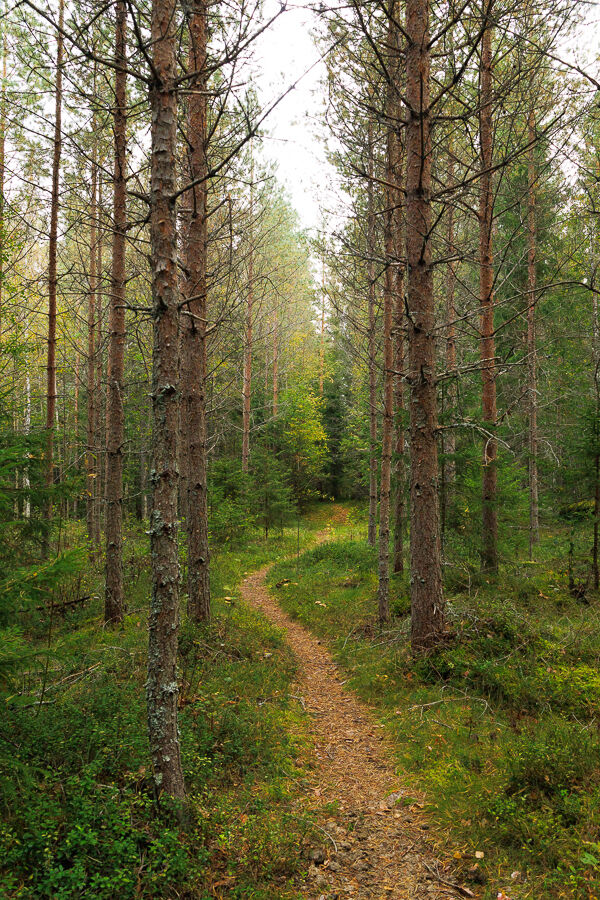
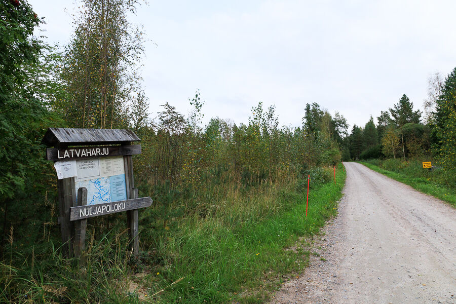
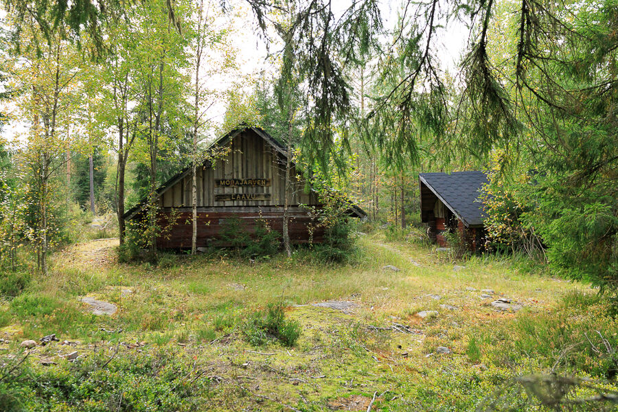
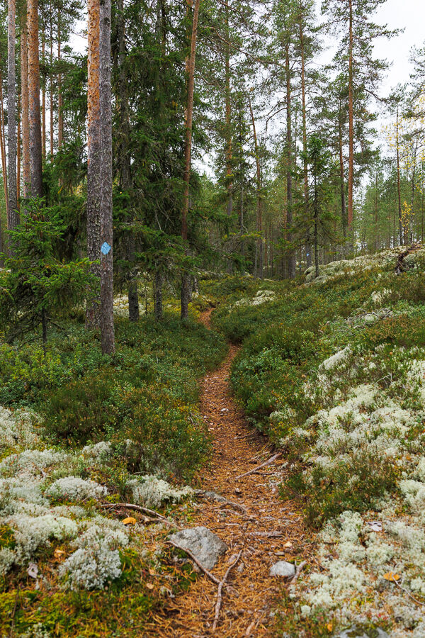
The Nuijapoloku routes range between 4 and 20 kilometres in varying terrain. A large part of the Nuijapolku route runs along well-maintained paths and forest roads that are easy to travel on foot. Travelling through beautiful forests and past patches of rocky terrain, the route contains some differences in elevation and more challenging sections. The section from the Morajärvi lean-to to Pikku-Santavuori consists of a narrow, rocky path, which is one of the most challenging stretches of the trail. The narrow paths in Meskaisenvuori give you a taste of real wilderness. The Leevi route (Leevin lenkki) in Piennevanmaa offers a glimpse into the field landscape typical to South Ostrobothnia.
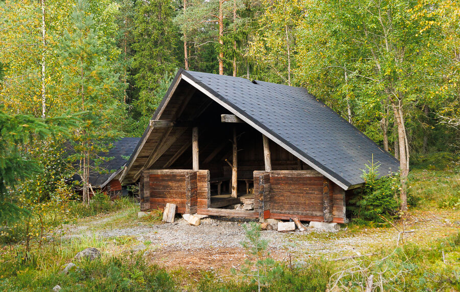
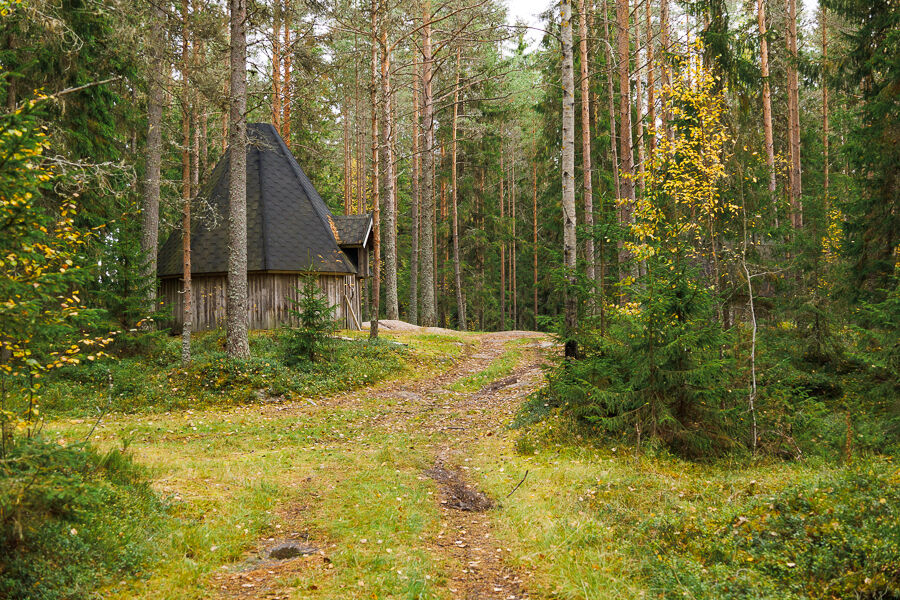
You can combine the various routes to complete a round that is right for you, such as the routes in Latvaharju, Meskaisenvuori or Rajakallio. There are plenty of lean-tos and other places for a break, such as the Sami huts of Leevi and Poikarämäkkä, and the Lake Morajärvi lean-to. They area ideal places for a bit of outdoor cooking, but if you plan to do so, remember to bring along firewood and matches, as they are not always provided.
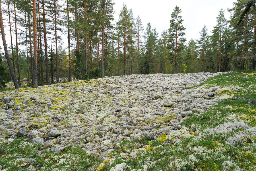
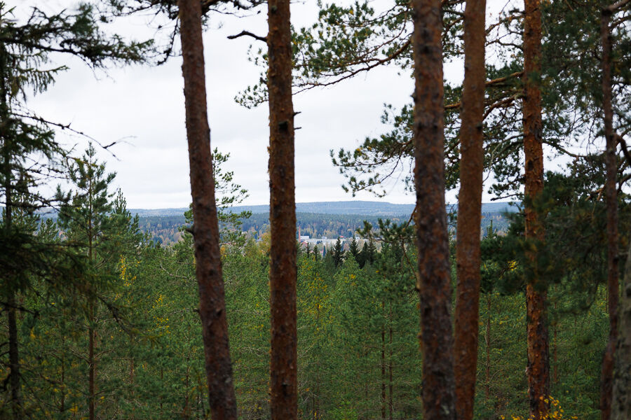
There is plenty to see along Nuijapoloku, such as Pikku-Santavuori hill, Pirunpellot (boulder field), Piennevanmaa fields and the path towards the Rajakallio quarry, with view towards Salonkylä.

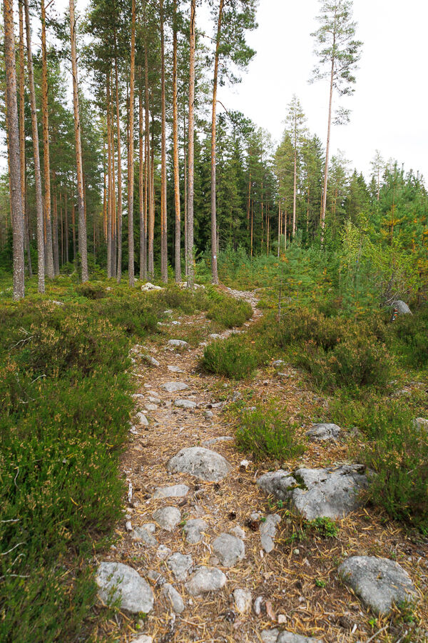
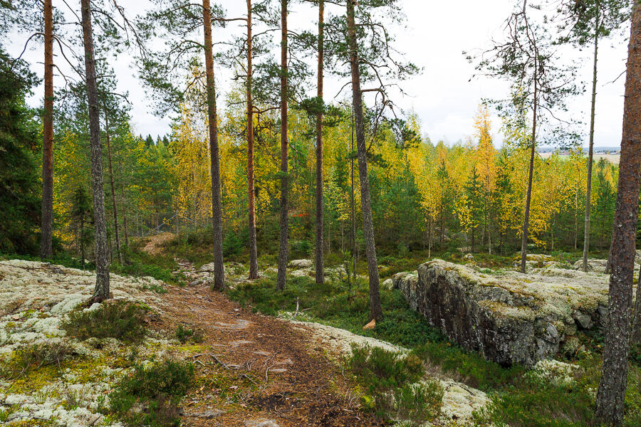

Rajakallion ylittävä polkupätkä on kivikkoinen ja kallioinen, mutta hyvin kuljettavissa kävellen. Rajakallion puoleisen lenkin varrella on Rajakallion louhos, jonka laidalla polku kulkee. Täällä kannattaakin pysytellä visusti polulla ja välttää liian lähelle reunaa menemistä. Polun puoleinen reuna on aidattu verkkoaidalla.
Kurikkaan pääsee linja-autolla, mutta suurin osa vuoroista ajaa Panttilan kautta, joten ihan lähelle tätä reittiä ei julkisilla valitettavasti pääse.
Auton voi pysäköidä Tuiskulan kylätalon viereiselle isolle parkkipaikalle ja lähteä reitille Pitkäkujaa pitkin, joka yhdistyy Latvatiehen.
Obľúbené výlety v okolí
-
See you at the market square!
strednáCyklistika 54,3 km -
Kurikka sights
strednáMountainbike 12,5 km -
Nevahööd
strednáMountainbike 42,3 km -
Sisko tahtoisin jäädä, mutta Jokipiintie on kuuma
strednáMountainbike 59,0 km -
Drafted on March 20, 2023
strednáMountainbike 45,2 km -
Drafted on 2023-03-21
svetloCyklistika 16,2 km -
Drafted on 2023-03-23
svetloCestný bicykel 36,0 km -
Jalasjärvi route
svetloMountainbike 19,2 km -
Drafted on 2023-03-21
svetloCyklistika 5 km -
Drafted on 2023-03-23
svetloCestný bicykel 23,8 km
Turistika a stopovanie


Nenechajte si ujsť ponuky a inšpiráciu na ďalšiu dovolenku
Vaša e-mailová adresa bol pridaný do poštového zoznamu.





