


25 OLBE LAKES via the ski slope and path 135 - Sappada


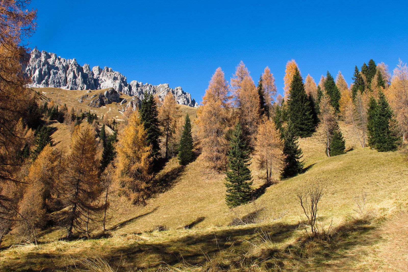
This is, among many, the least scenic route to reach the lakes, as it follows the Sappada 2000 ski slope, which is monotonous, often rocky, and at times tiring, although towards the south there are some...
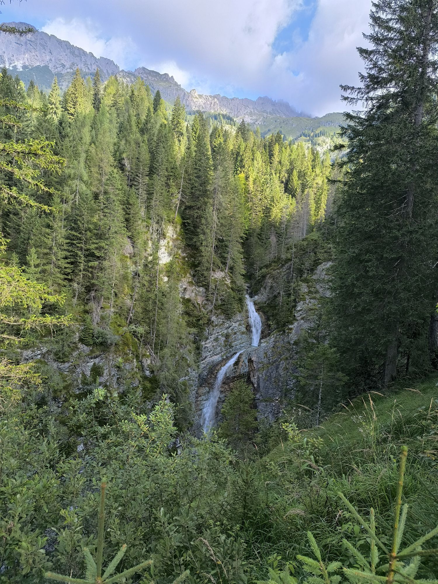
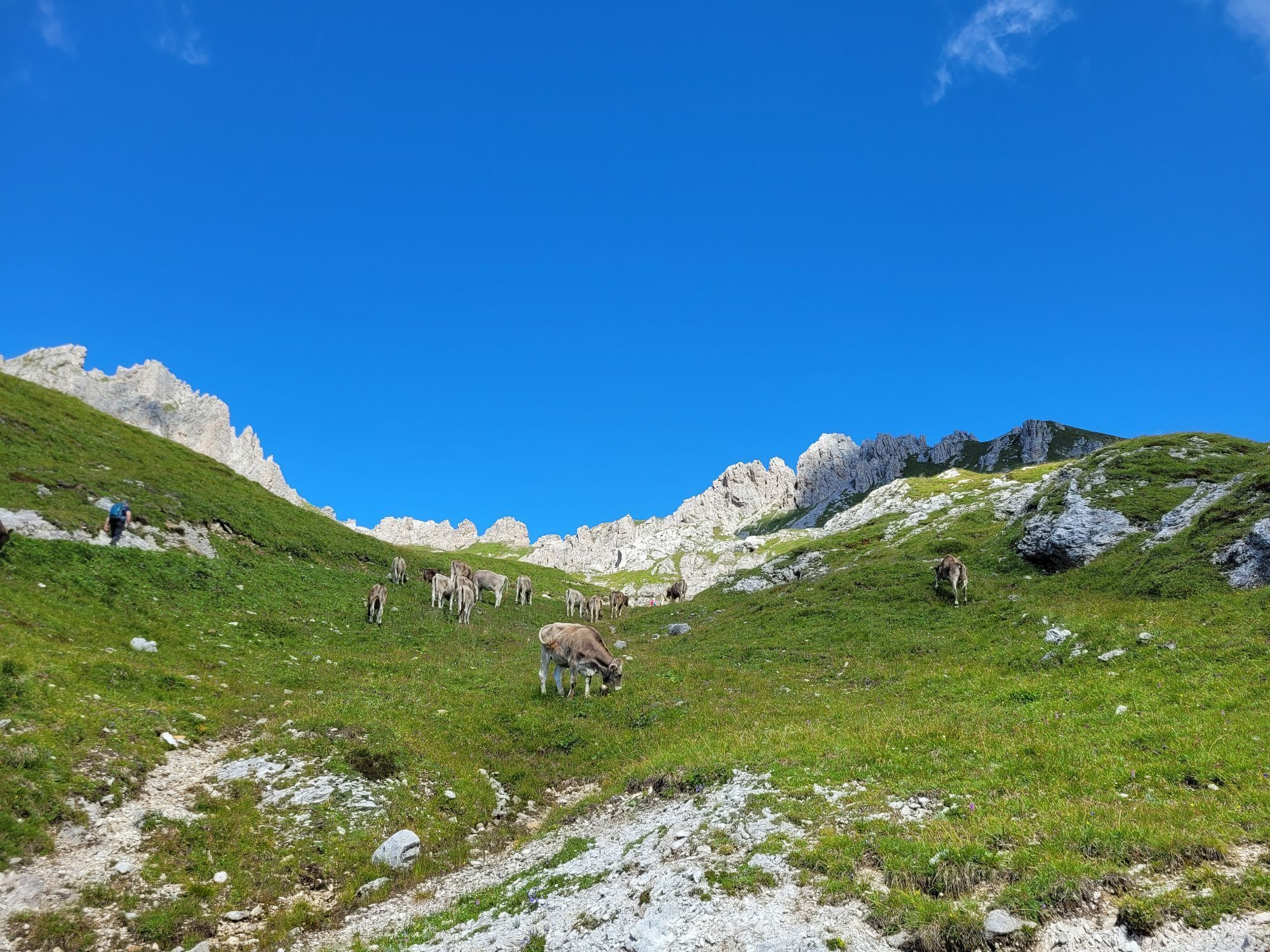
This is, among many, the least scenic route to reach the lakes, as it follows the Sappada 2000 ski slope, which is monotonous, often rocky, and at times tiring, although towards the south there are some interesting views. Then, just beyond the Gosse refuge (closed during the summer season), everything changes, the landscape becomes varied and broad, and you proceed at altitude on a good path among green bumps, small basins, and small streams.
However, this route is recommended more as a descent path than an ascent, since routes 26 and 27 are decidedly more rewarding.
Author: © Giovanni Borella
C.A.I. Sappada/Plodn
Interreg V Italy-Austria - CLLD Dolomiti Live.Project “Safe mountain – mountain adventure” ITAT 4019 CUP B43J16000270004
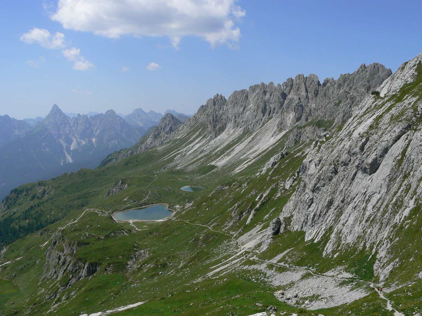
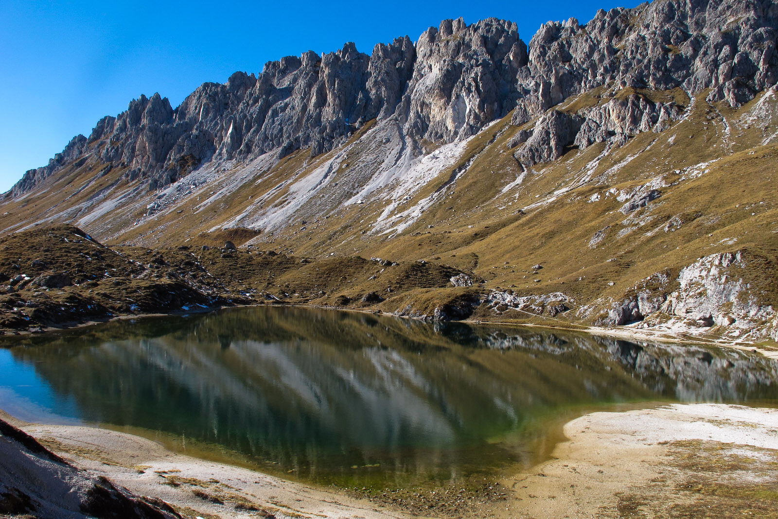
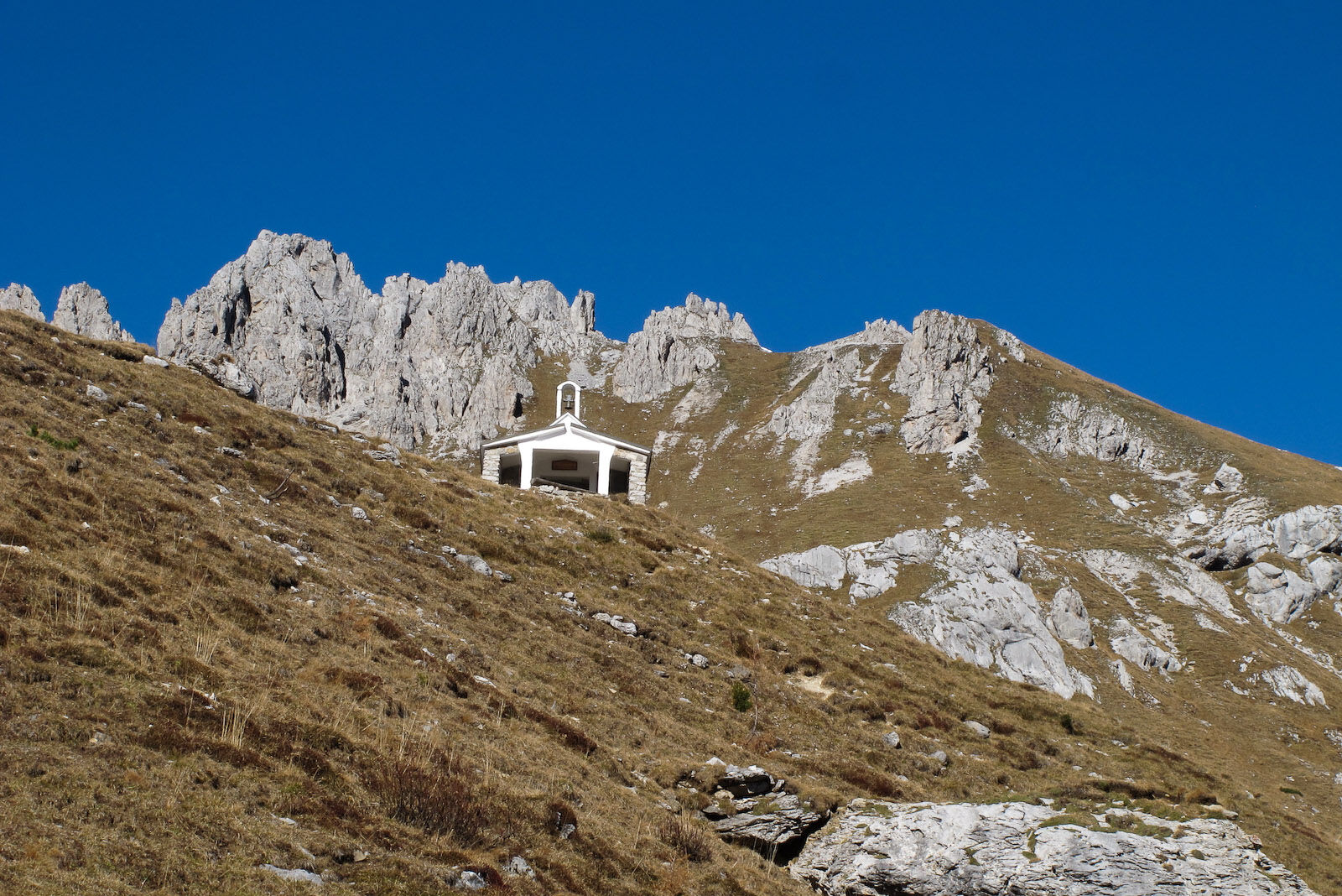
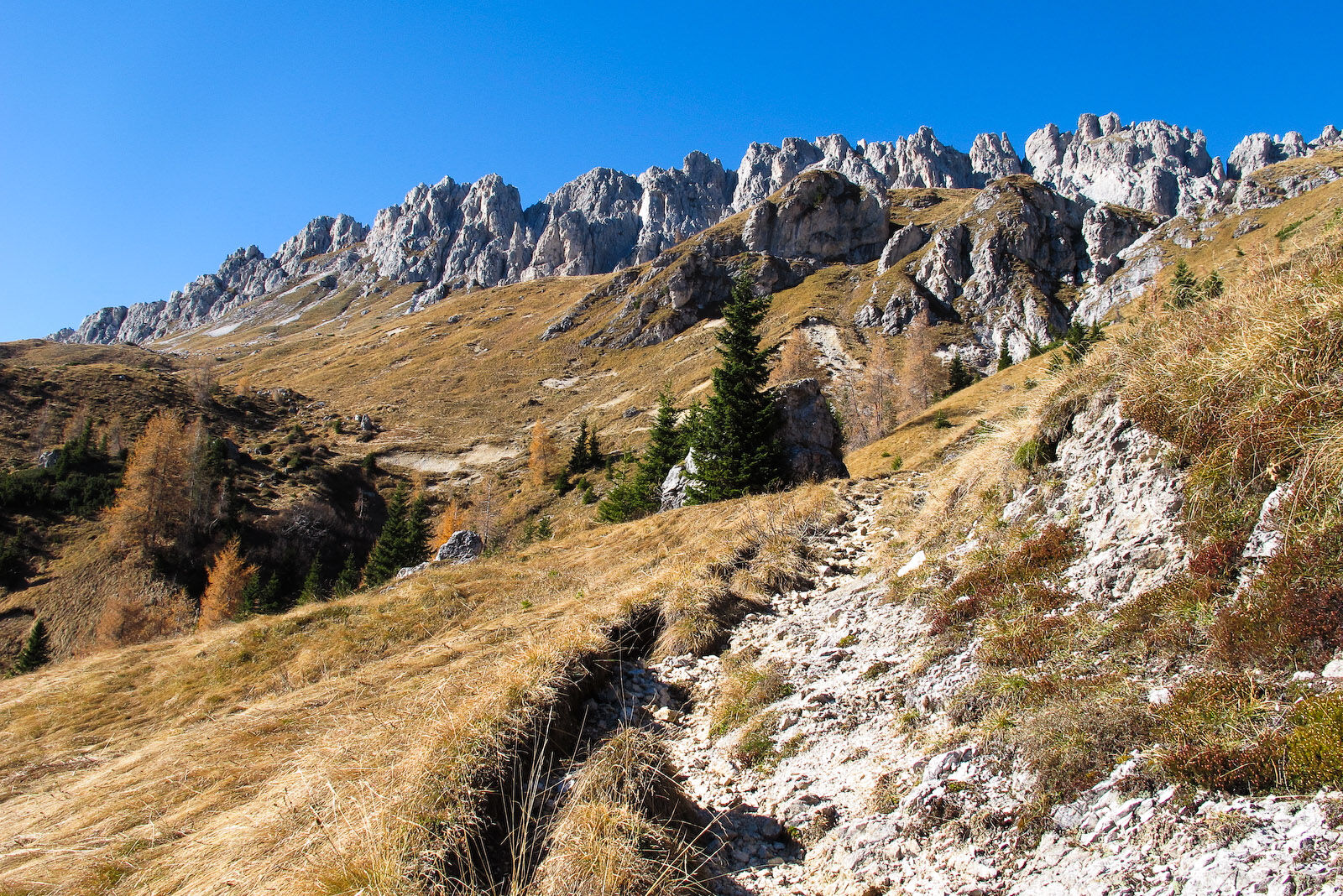
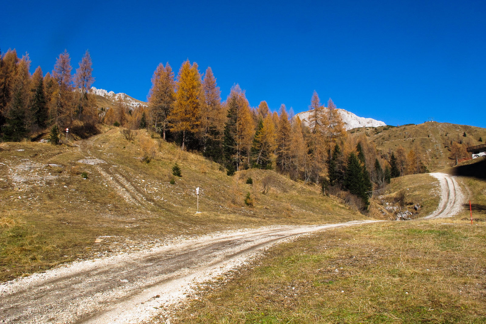
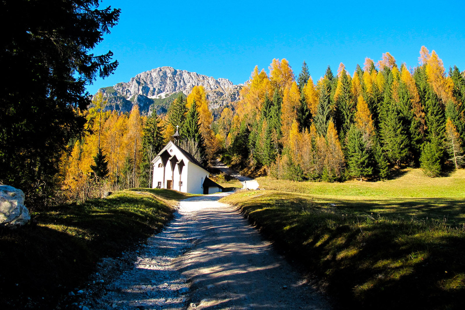

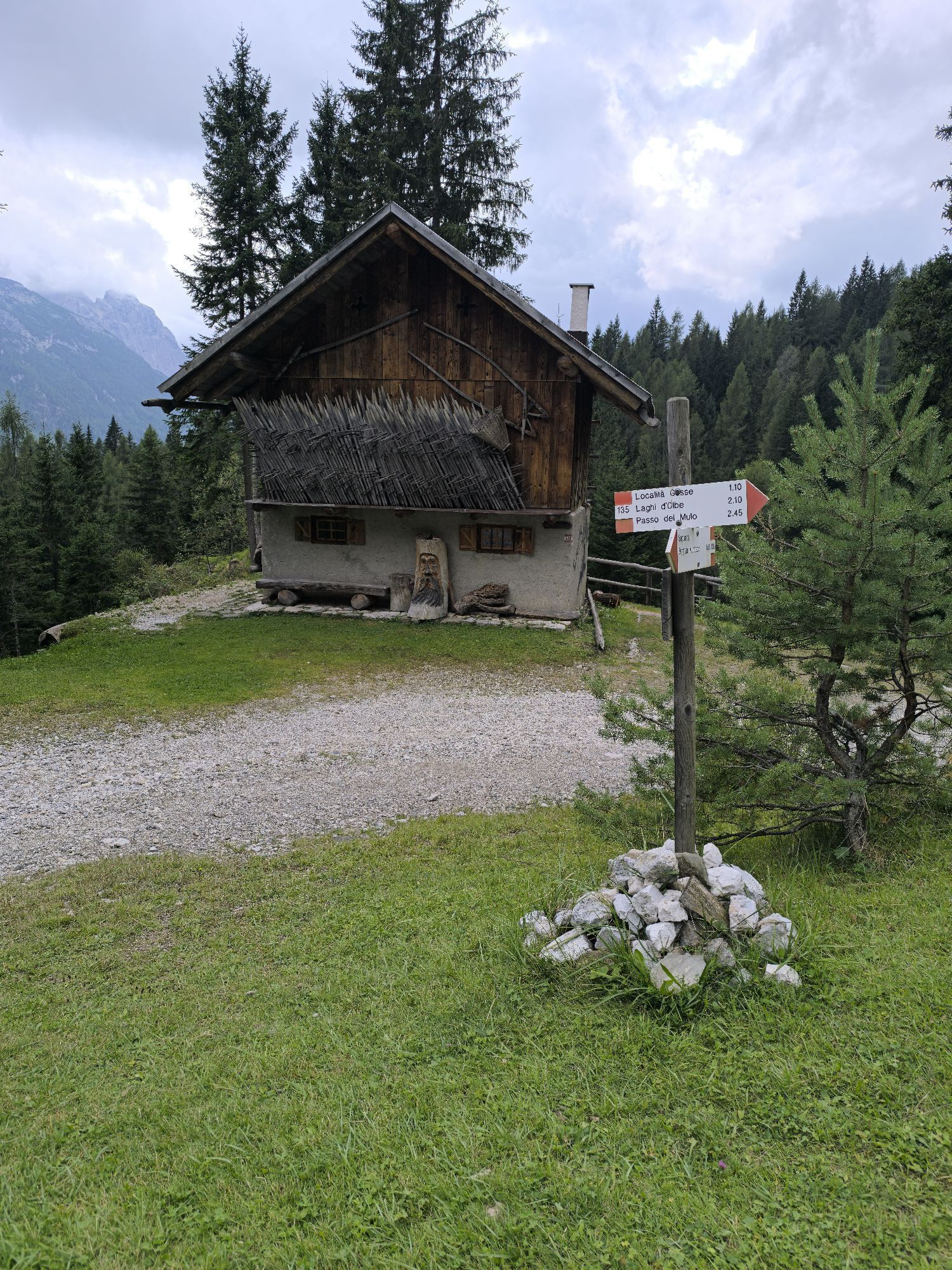
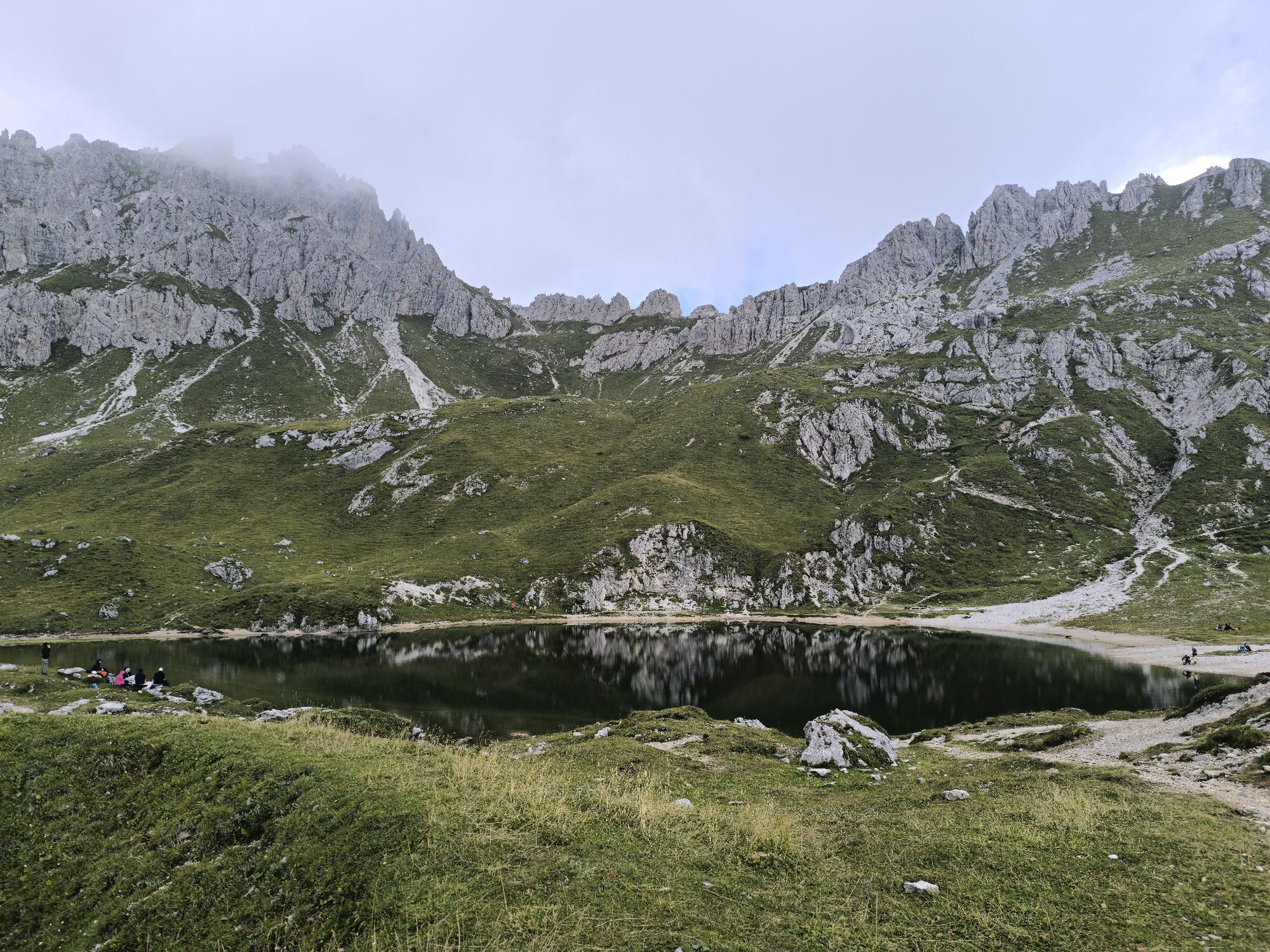
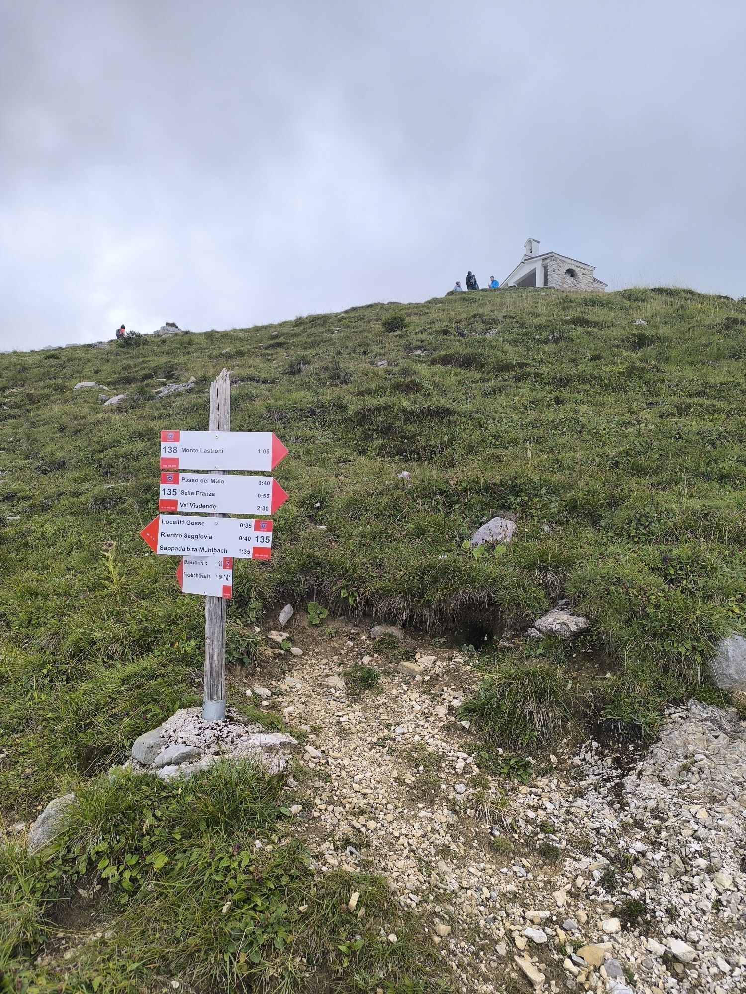
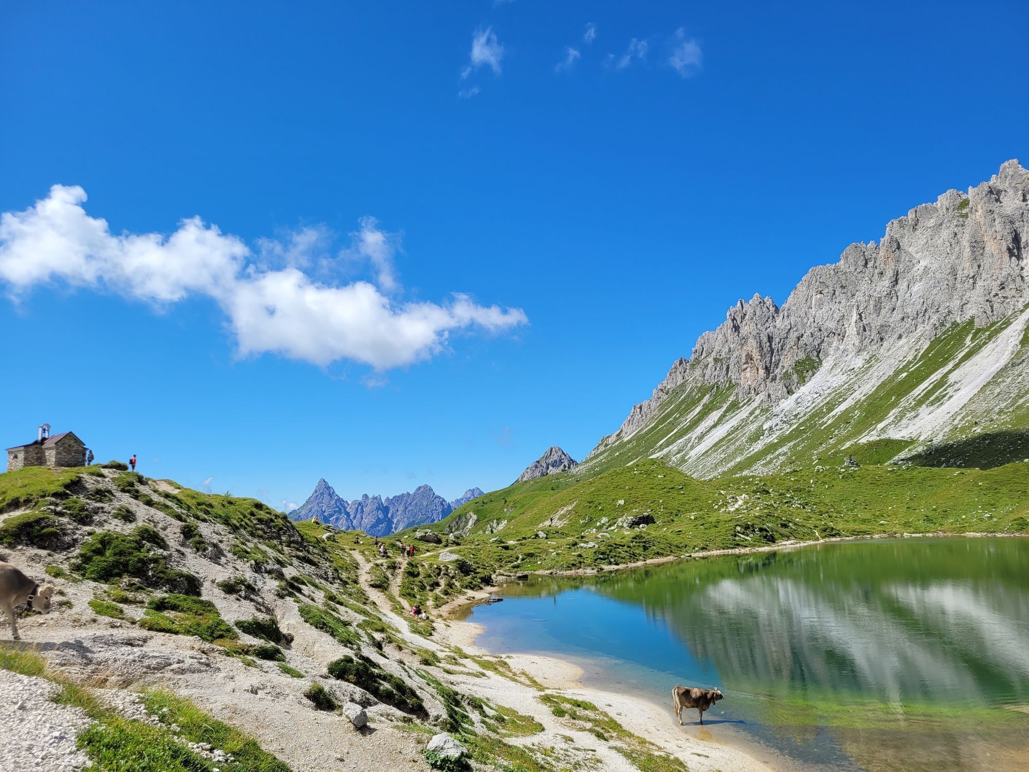
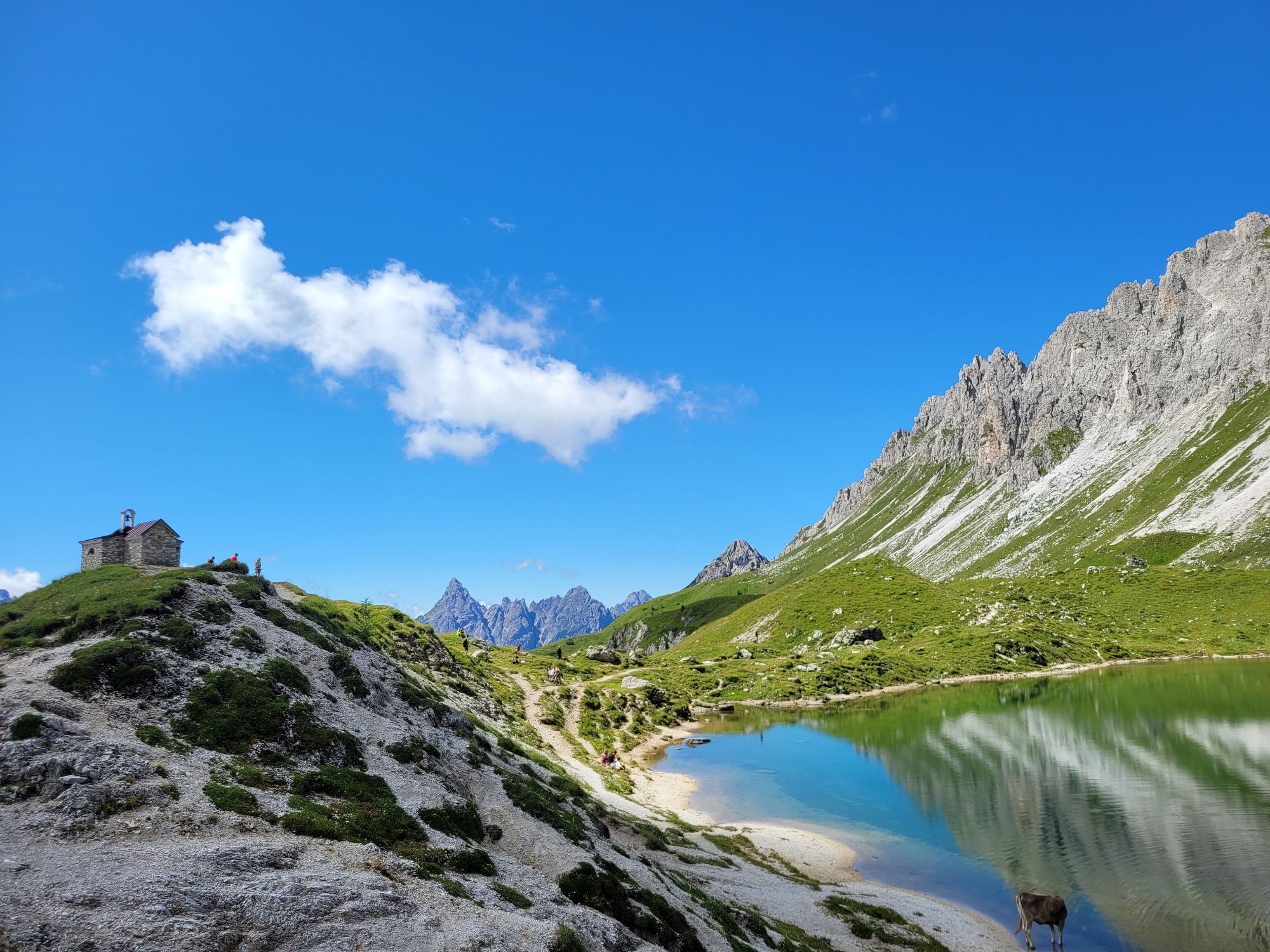
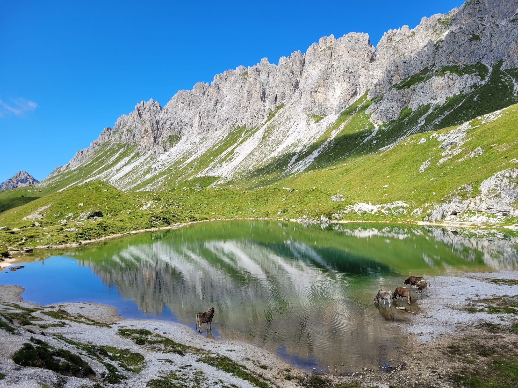
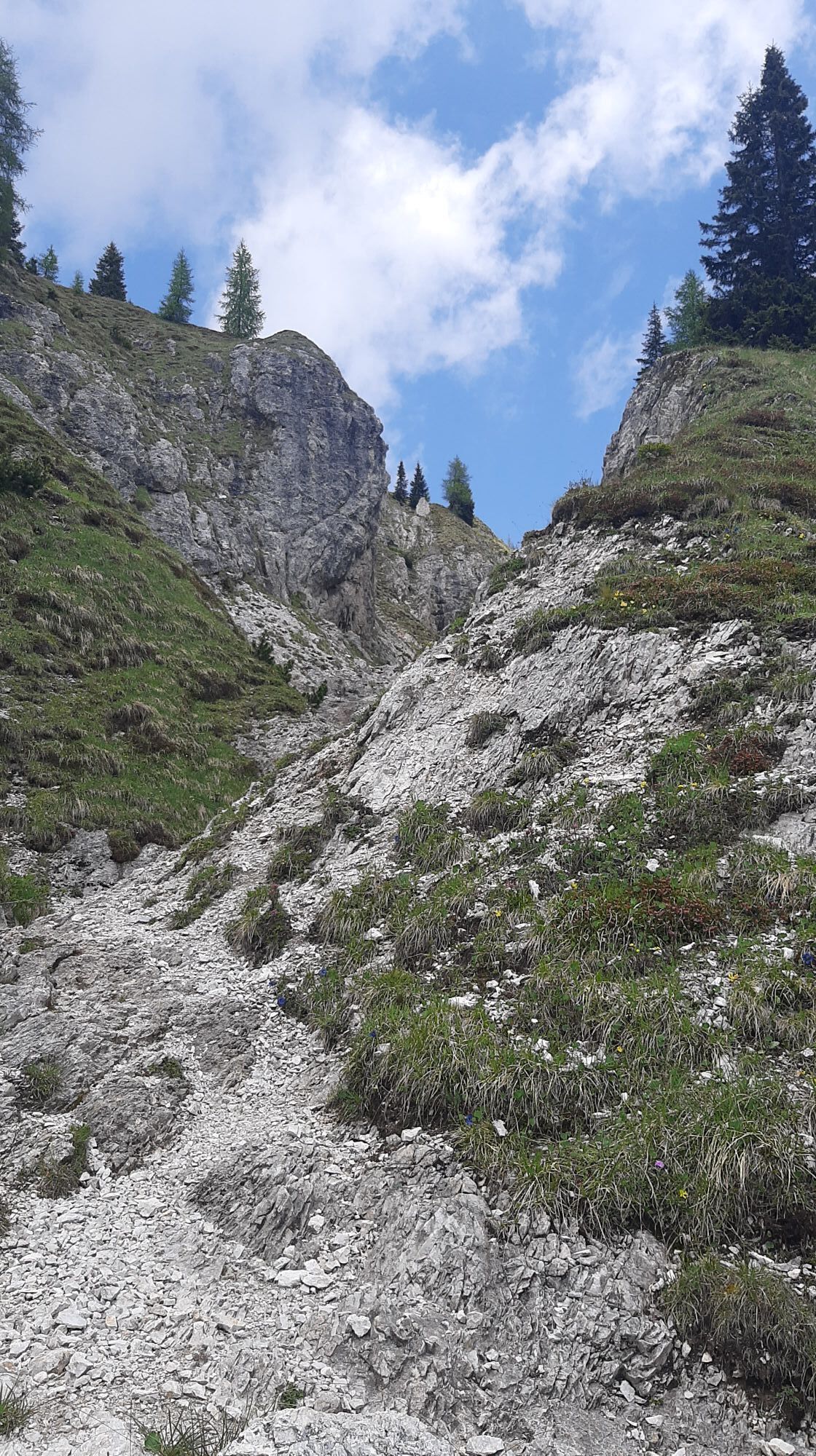
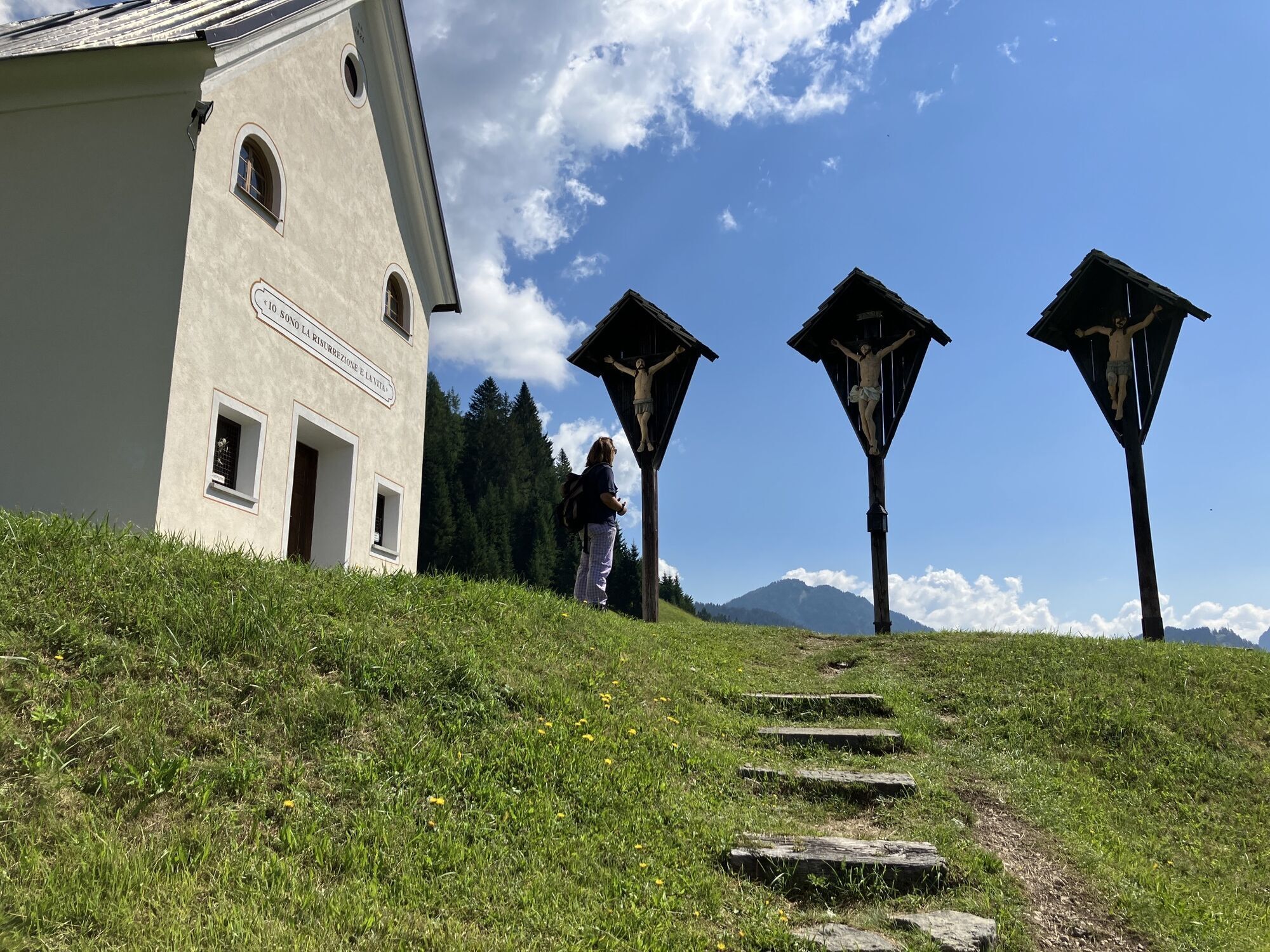
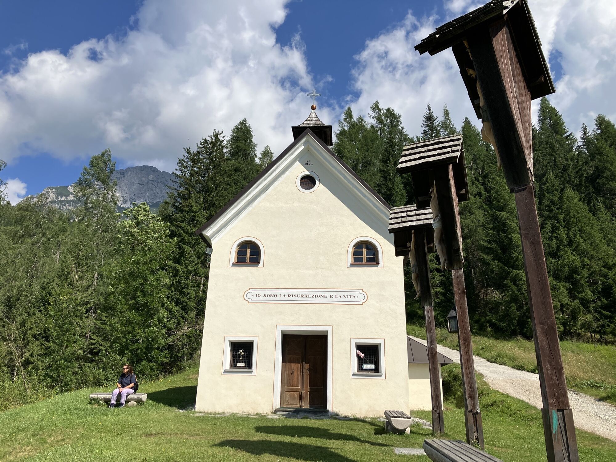
With routes 13 or 17 (from the Walks section) to the Sappada 2000 ski slope, which is climbed (signs) up to a series of steep hairpin bends, after which the slope tends to ease near the Gosse refuge, upper station of the 2nd section of the Sappada 2000 chairlift. Two hundred meters before it, on the left there is a sign saying "Olbe lakes." Here you leave the slope to take a small path heading north until it meets a mule track that climbs over sparse forest, meadows, and exposed rocks, ascending the numerous bumps of the wide slope below the Olbe basin up to the small chapel reflected in the green waters of the main lake.
Return
Return by the same route or with route 26 in the opposite direction. If energy is low, take the chairlift!
Author: © Giovanni Borella
Difficulty: E
Hours from Sappada: ascent 2:45-3:00 descent 1:30-1:45 total 4:15-4:45
MARKING: 135
DIFFICULTY SCALE
The technical sheet of each route contains the abbreviations commonly used in mountain guides (T- E - EE- EEA - A). Some routes may have a double abbreviation (e.g. T/E or E/EE) as they have characteristics of both categories
T (touristic) indicates almost always short and easy routes that develop on forest roads and/or well-marked or clearly visible paths that do not require particular training
E (hiking) indicates routes, sometimes quite long, that follow mule tracks and/or trails usually above 2000 meters, visible but not always with trail markers. They have no significant difficulty, but sometimes there may be some exposed or awkward sections. Adequate equipment, a minimum of experience, and training are required
EE (for experienced hikers) indicates routes generally above 2000 meters, which can be on unstable ground and/or in wild areas, often characterized by exposed and/or equipped passages, sometimes on rocks with difficulty of grade 1. Experience, surefootedness, sense of direction, good equipment, and physical and mental preparation are required.
EEA (for experienced hikers with equipment) indicates routes equipped with metal cables, steps, ladders. Exposure is almost always constant. Experience, training, and adequate equipment including helmet and via ferrata set are mandatory. Gloves are useful.
A (for climbers) indicates rock routes leading to peaks with low alpine difficulties (grade 1/2). Technical skills, good experience, physical preparation, and suitable equipment (helmet, some slings, always useful to have a 20-30 meter rope section) are required
WARNINGS
The information below cannot replace the presence of a professional mountain guide The mountain is a wonderful but risky environment, so it must always be approached with maximum caution In the Warnings of the C.A.I./T.C.I. Mountain Guides of Italy it is stated that the classification of difficulties "remains essentially indicative and should be considered as such," as it is a subjective element. This also applies to the routes proposed on the site The classification of difficulties and walking times refer to a hiker/climber of average level in terms of training, experience, skills, training Before undertaking a specific route, carefully assess the difficulties, your abilities, and your training level Before tackling a route (other than a short walk) it is good practice to: 1) check the Dolomiti Meteo of Arpav, by connecting to http://www.arpa.veneto.it or calling 049 8239399 (Option 2). The bulletin, unlike national weather reports, offers a rather reliable local forecast. 2) get information from the Tourist Office, the local C.A.I. section, mountain guides, refuge managers. Indeed, the accessibility status of a route and its difficulty level can undergo significant changes even in a very short time due to natural events (landslides, bad weather) and/or contingent situations (weathering of markings, fixed equipment, presence of residual snowfields, etc.) The mobile phone can give a false sense of security because there are areas without phone coverage In the unfortunate event of an accident, illness, or inability to continue, contact only and exclusively SUEM 118Obľúbené výlety v okolí
-
4,5
Karnischer Höhenweg – Etappe 4: Hochweißsteinhaus – Wolayersee Hütte
ťažkédiaľková pešia trasa 15,9 km -
4,7
Obergail - Obergailer Alm - Obergailer Lake - Enderberg hut - Source for Health & Peace - Madonna circular hiking route - Obergail
strednáTuristika 11,4 km -
5,0
Porzehütte (1.942 m)
svetloTuristika 9,01 km -
4,3
Mountainbiketour von der Hubertuskapelle zum Wolayersee
ťažkéMountainbike 9,06 km -
5,0
Carnic altitude trail. Stage 4: Porzehütte – Hochweißsteinhaus
ťažkéTuristika 17,5 km -
3,8
Karnischer Höhenweg KHW 403 - "Weg des Friedens"
strednáTuristika 46,7 km -
3,8
Circular hike Obergail - Gamskofel - Obergail Alm - Obergail
strednáTuristika 13 km -
2,0
Porzehütte/Tilliacher Joch am Karnischen Kamm
strednáMountainbike 8,99 km -
3,0
Hoher Bösring (2.324 m)
strednáTuristika 9,70 km -
2,9
Wolayersee
ťažkéTuristika 7,90 km
Turistika a stopovanie


Nenechajte si ujsť ponuky a inšpiráciu na ďalšiu dovolenku
Vaša e-mailová adresa bol pridaný do poštového zoznamu.