






Matadown / 749 / 749°
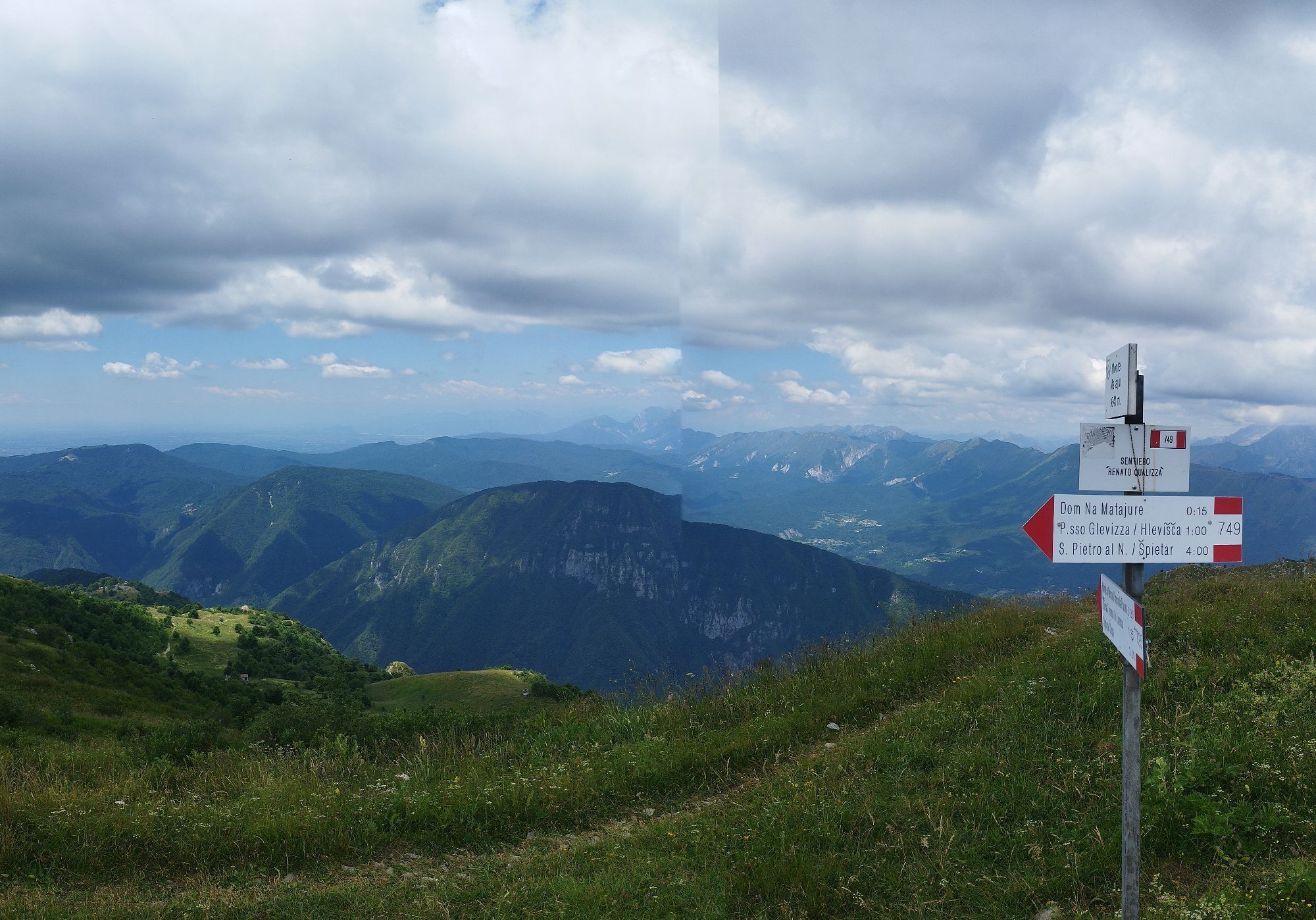
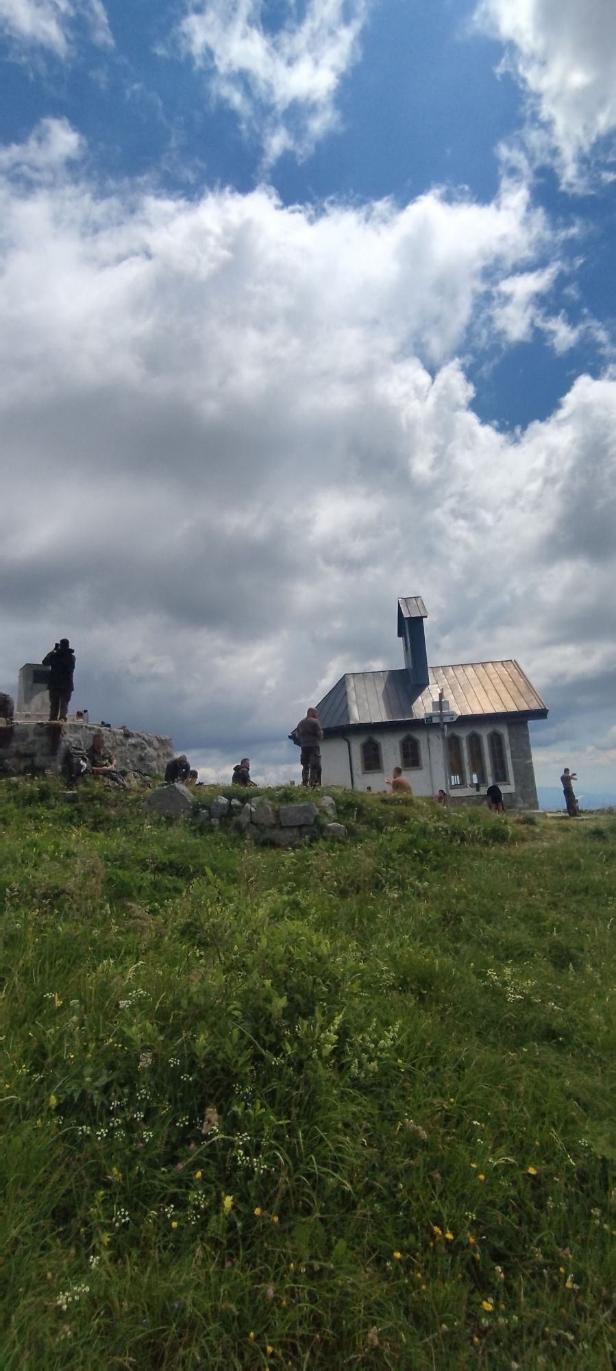
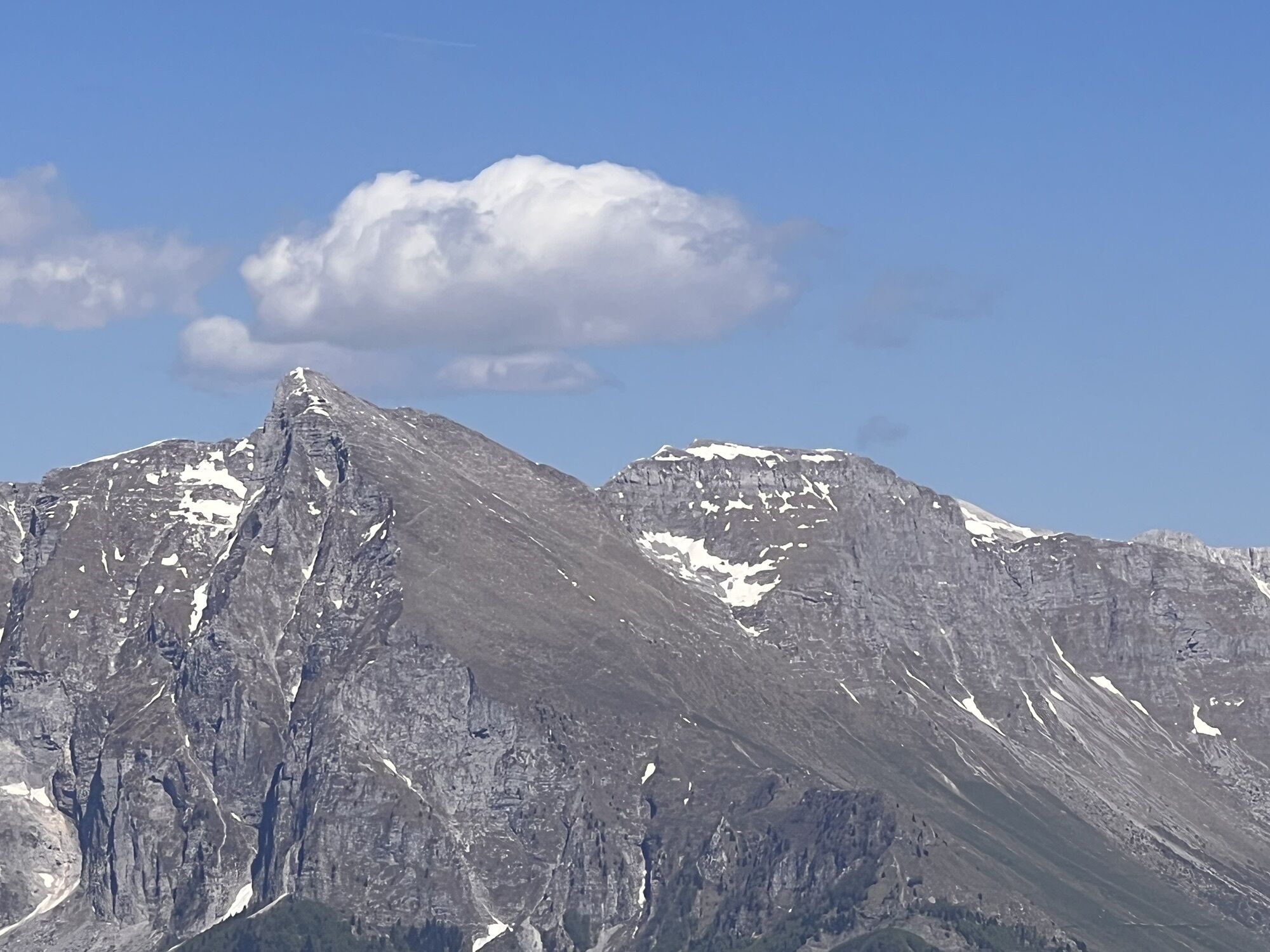
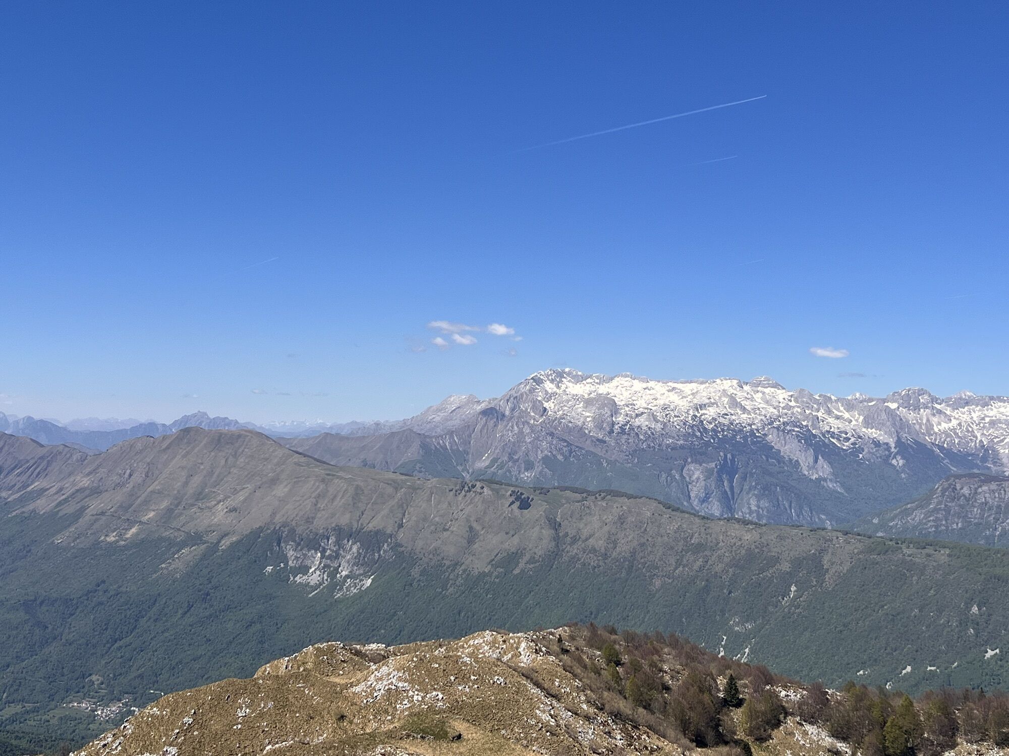
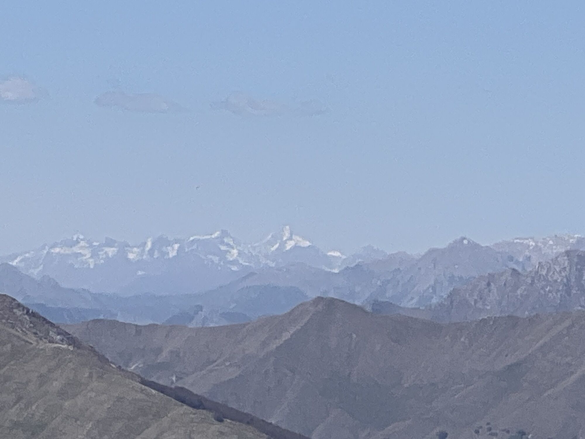
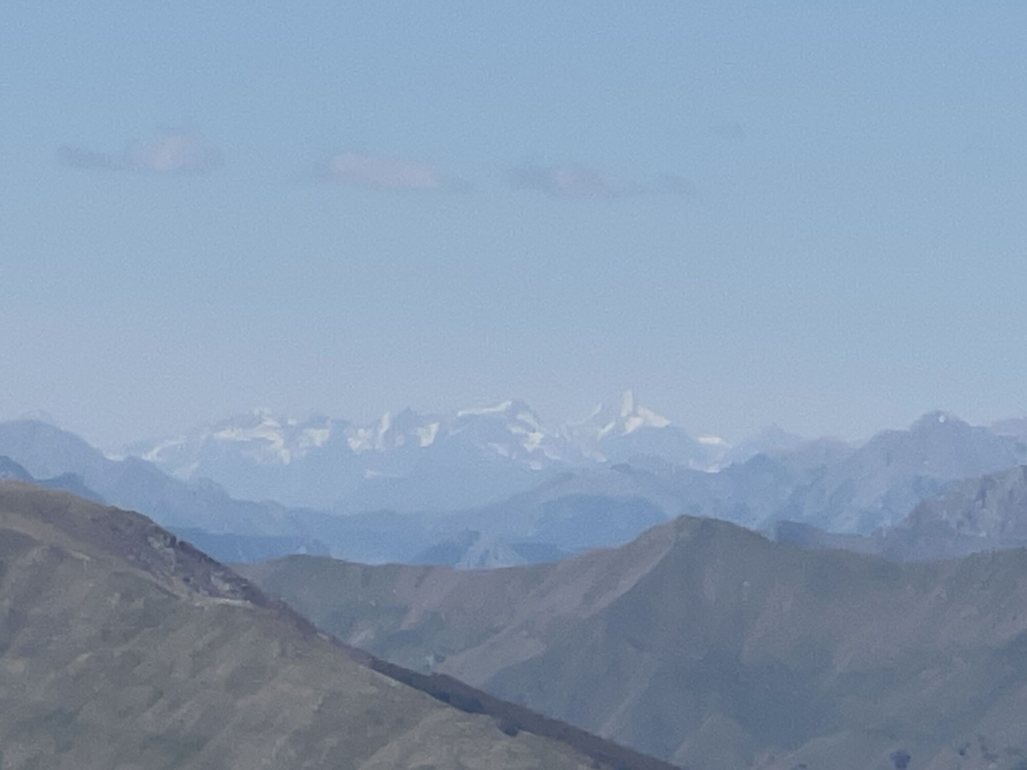
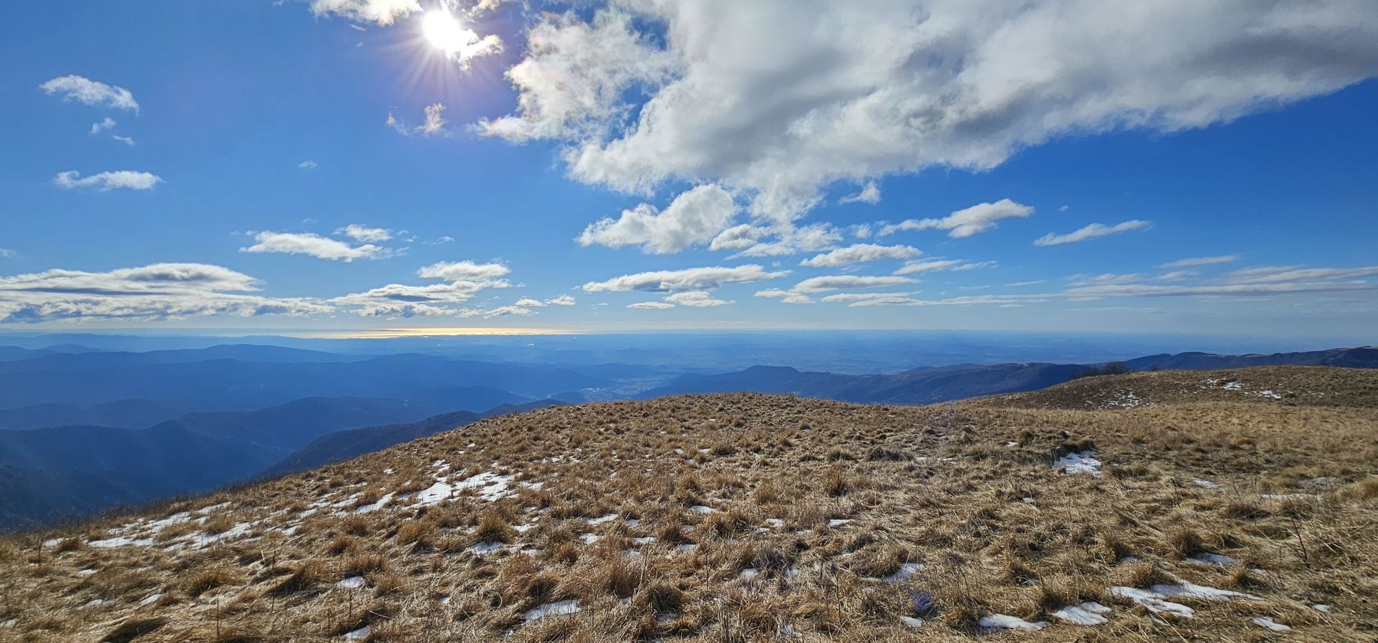

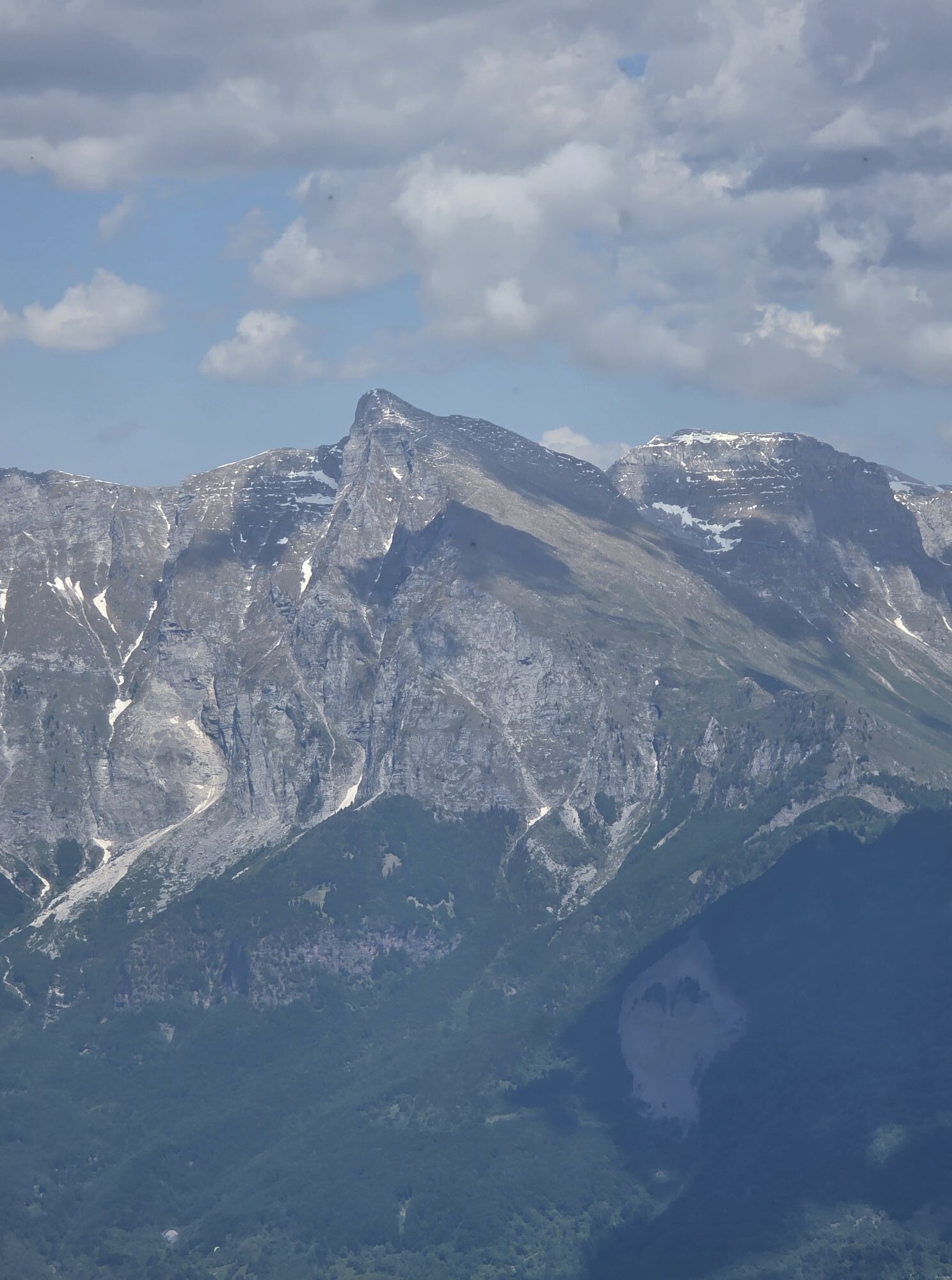
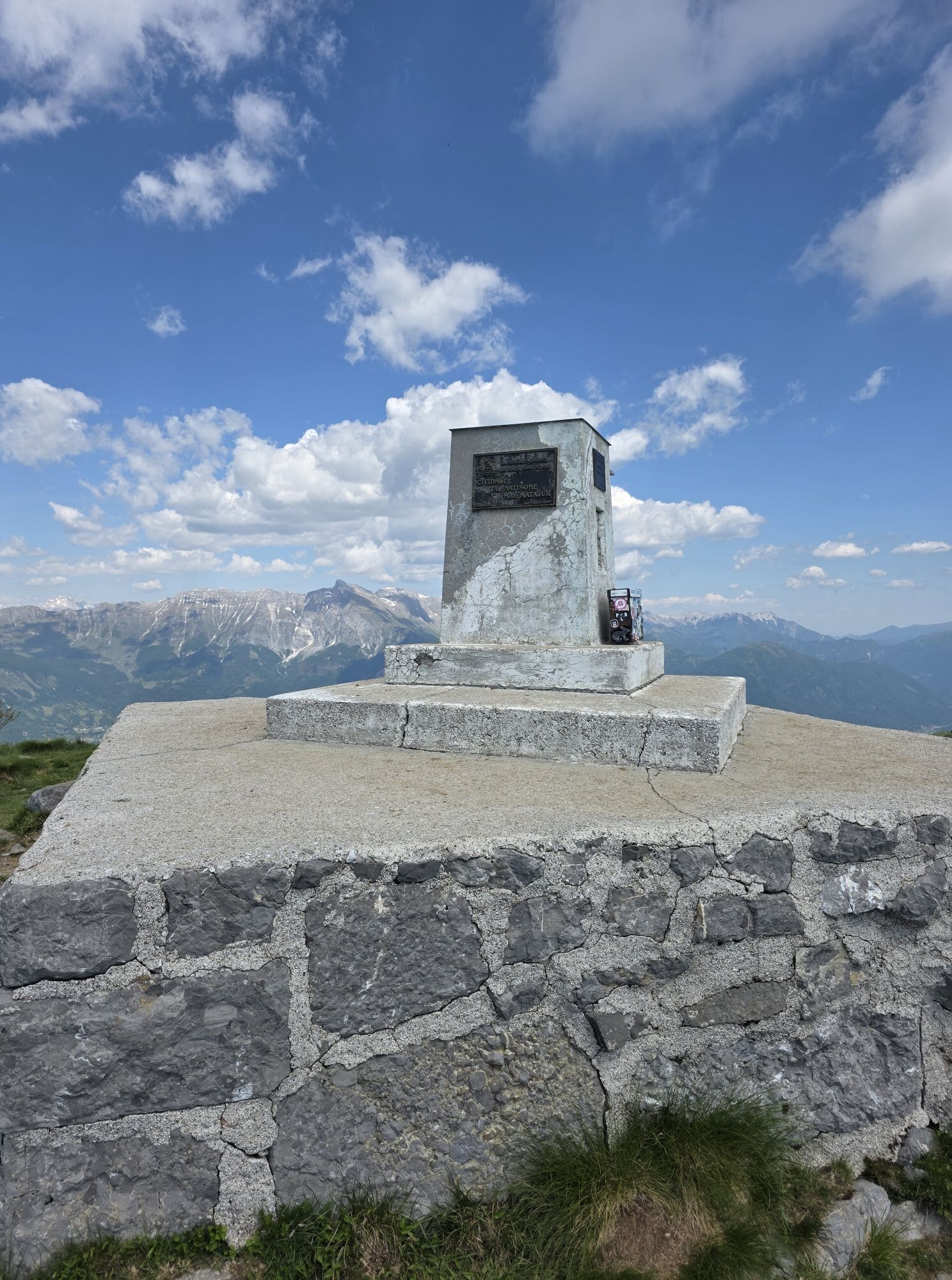
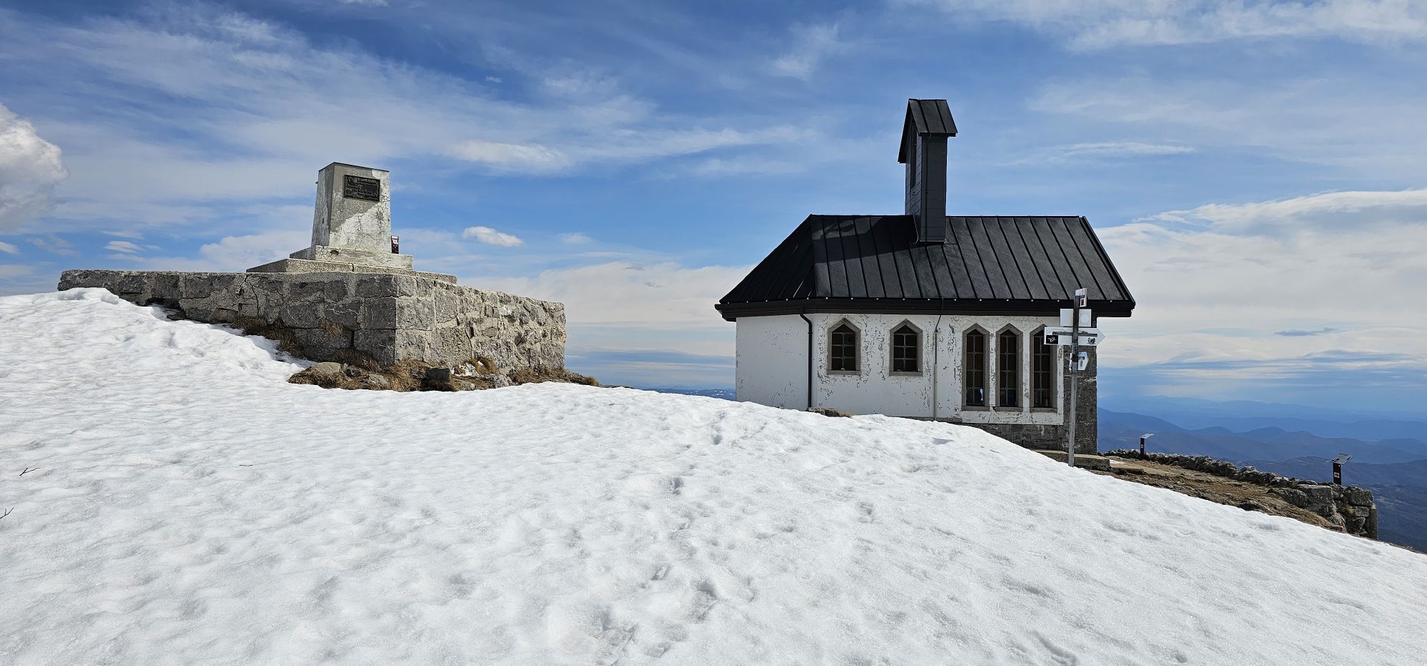
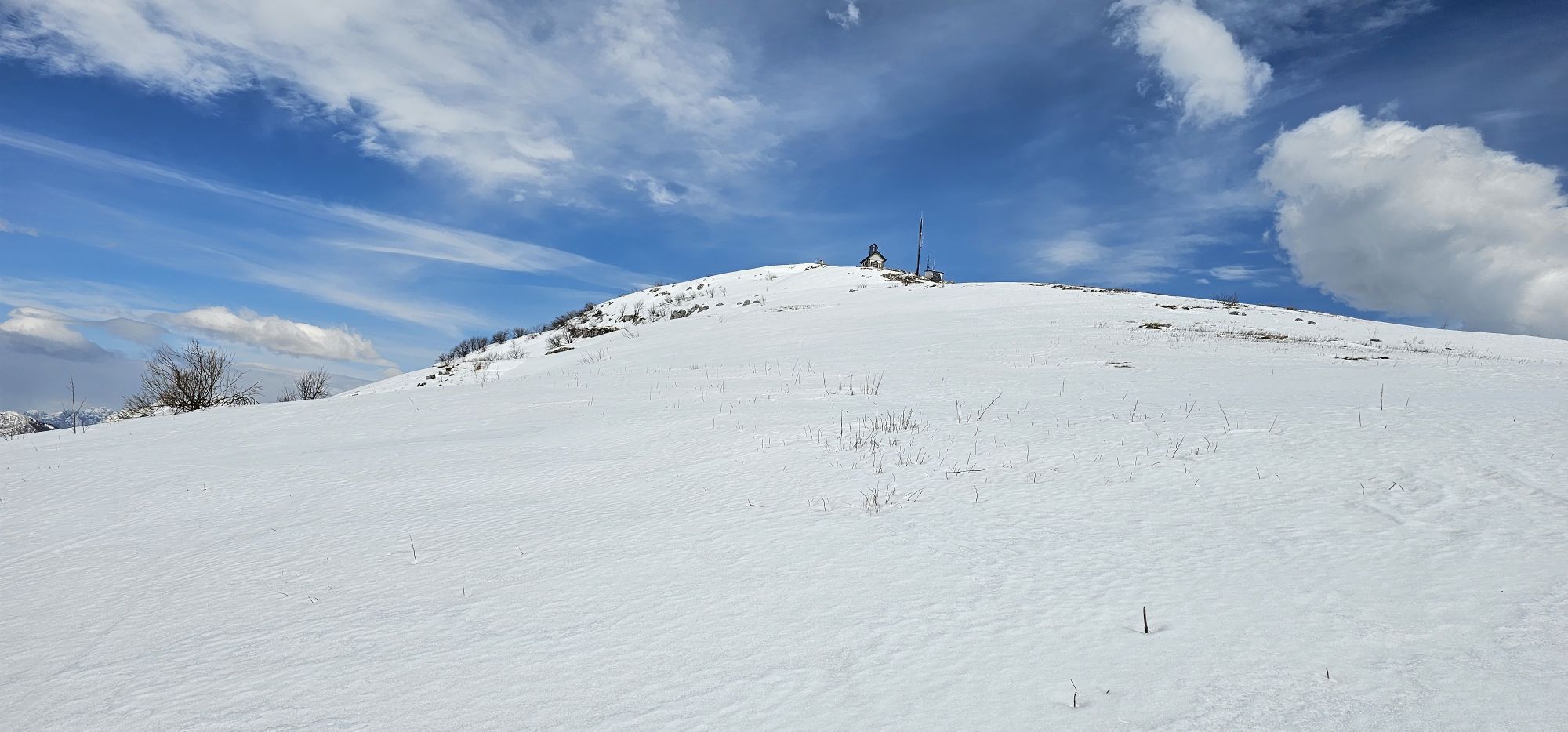
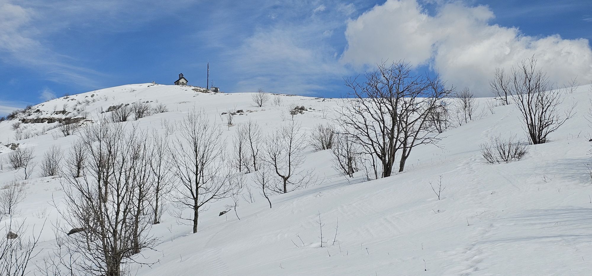
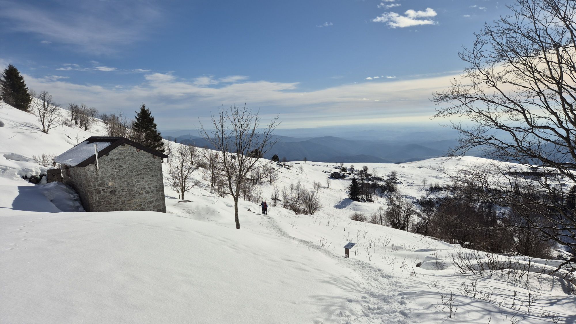
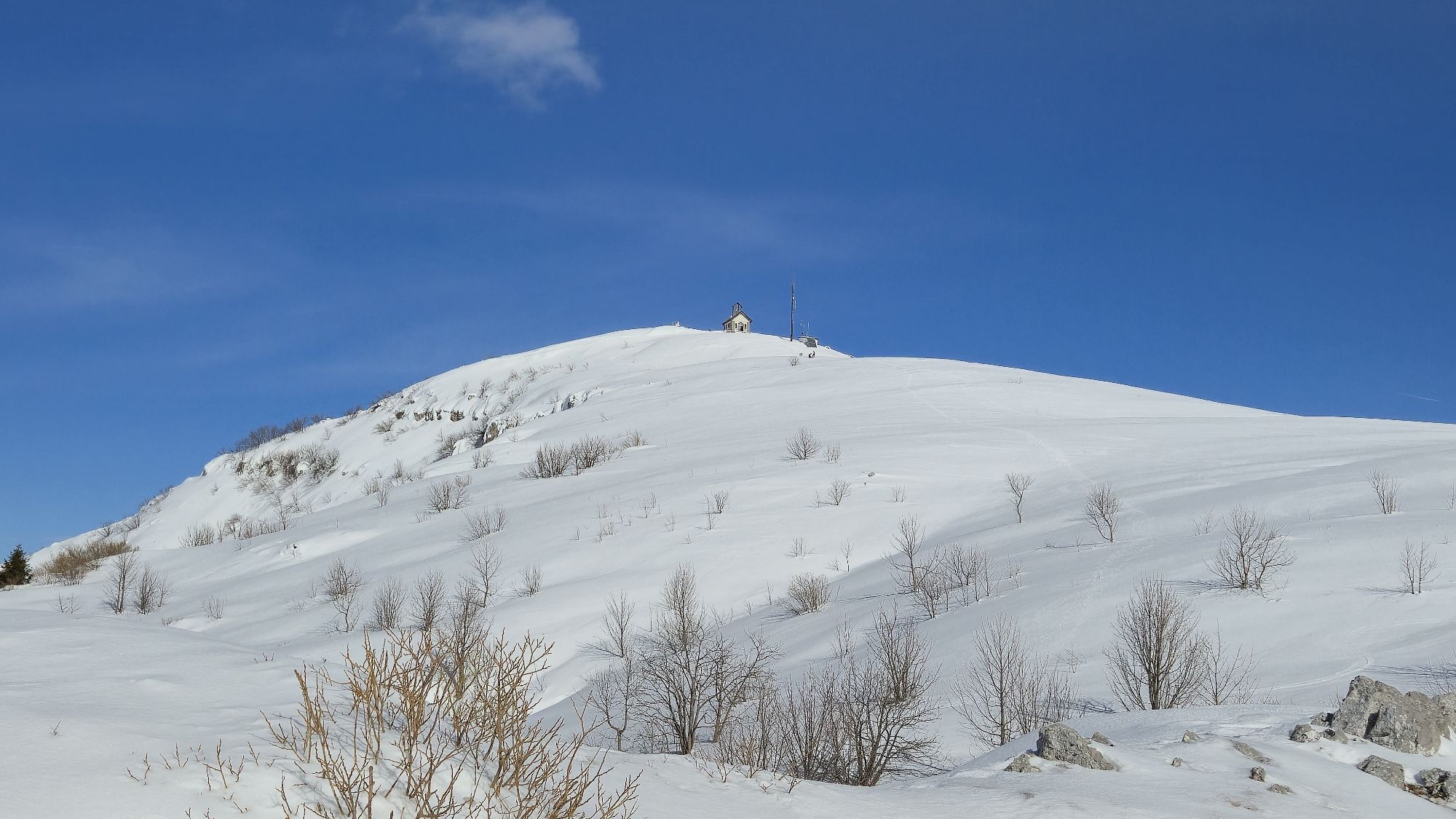
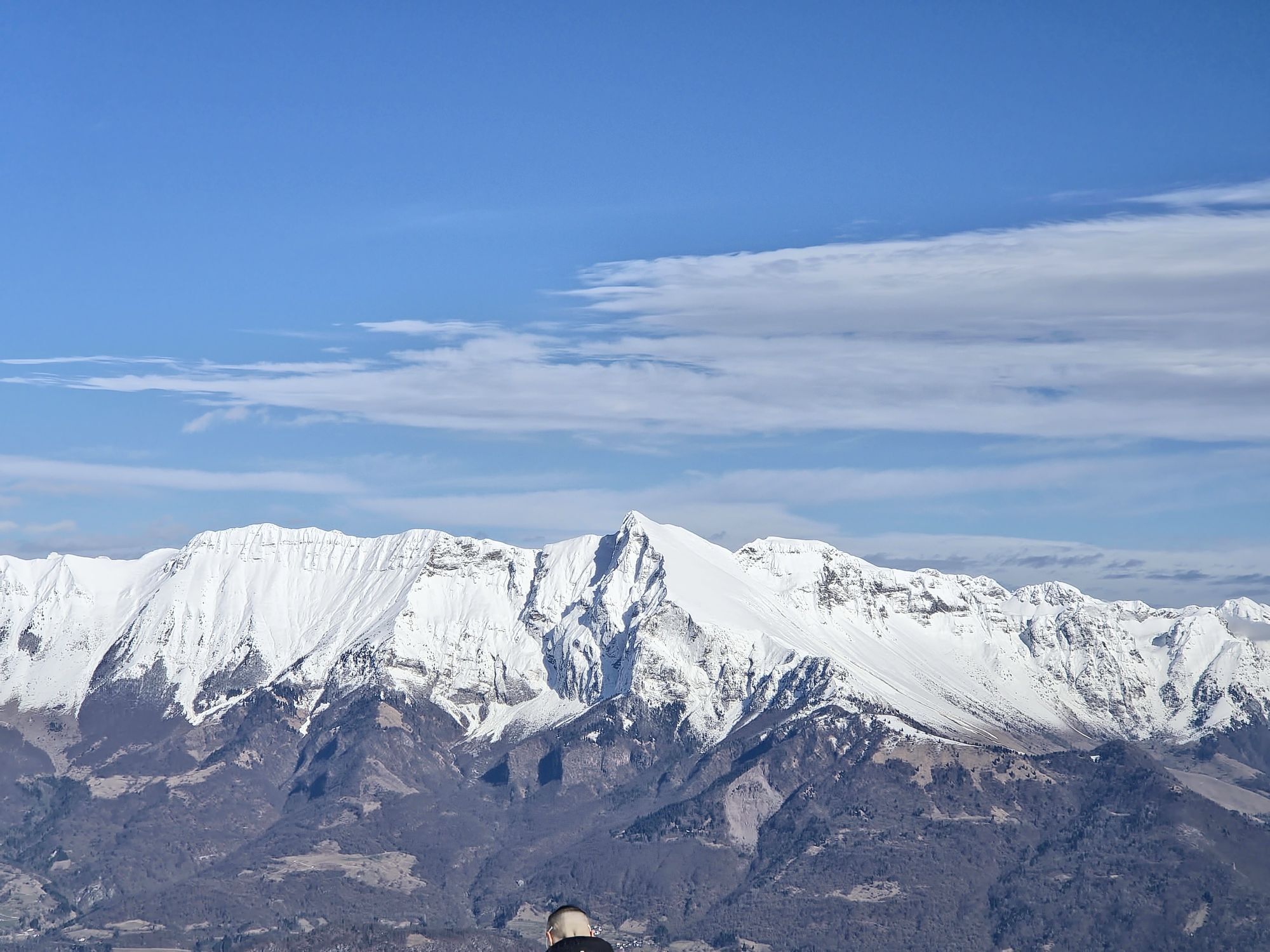
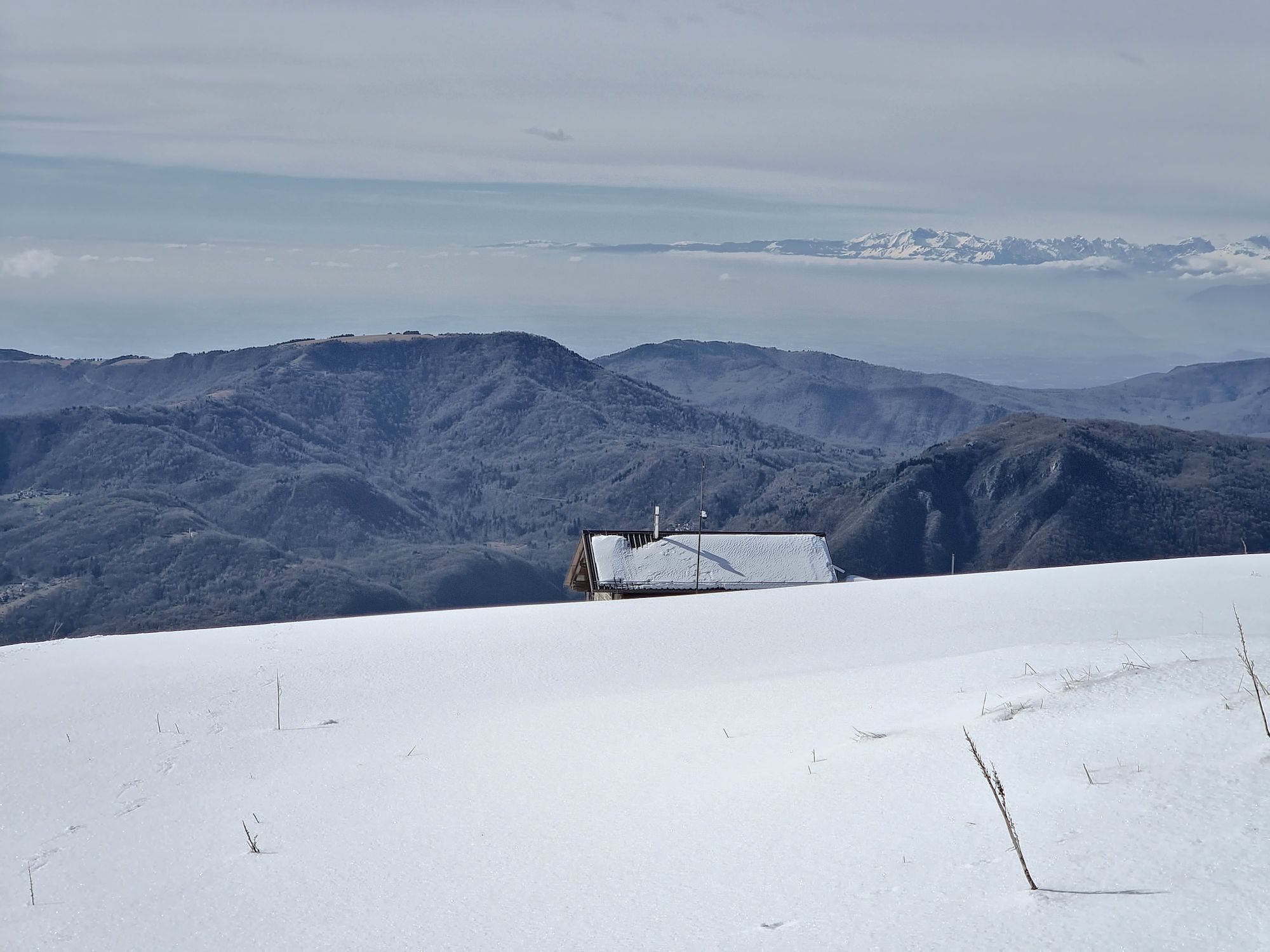
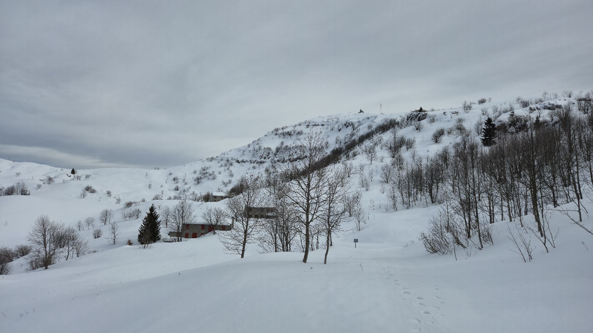
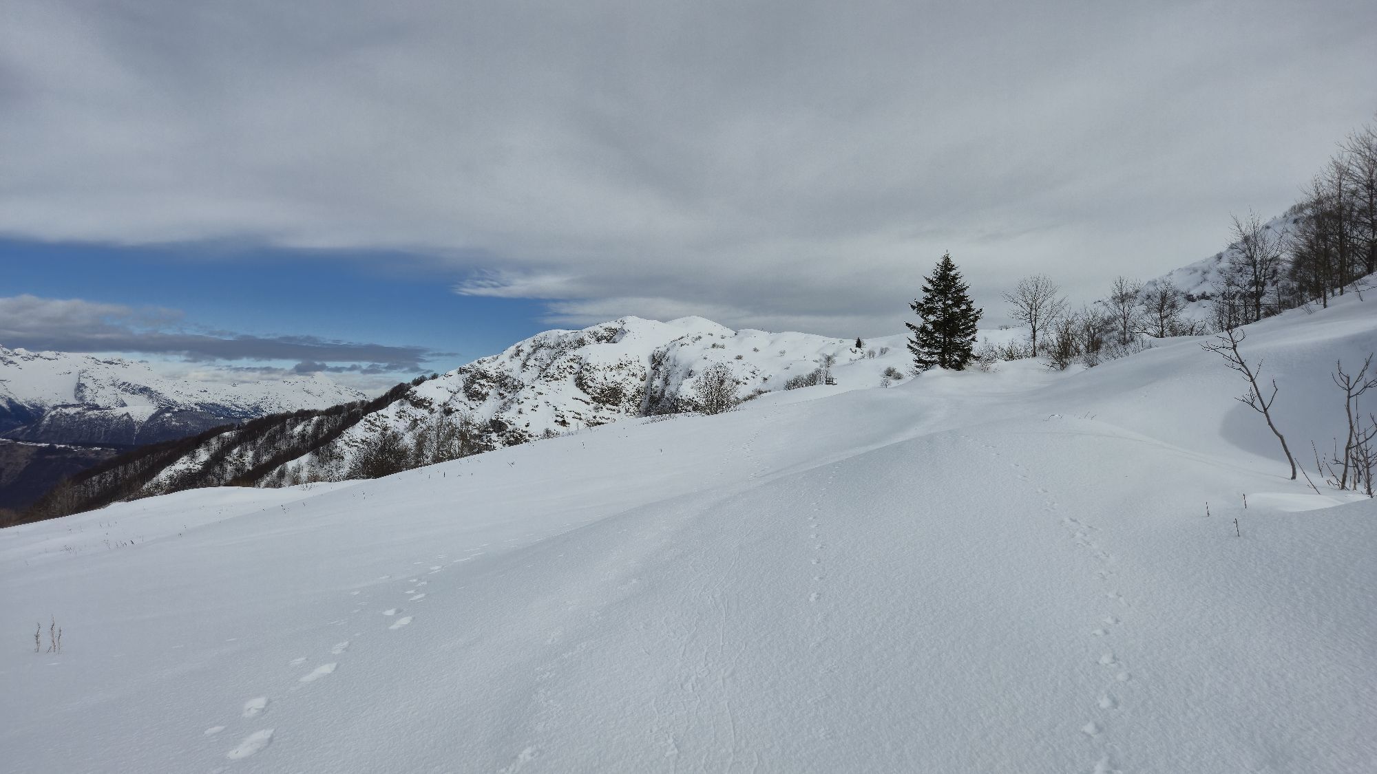
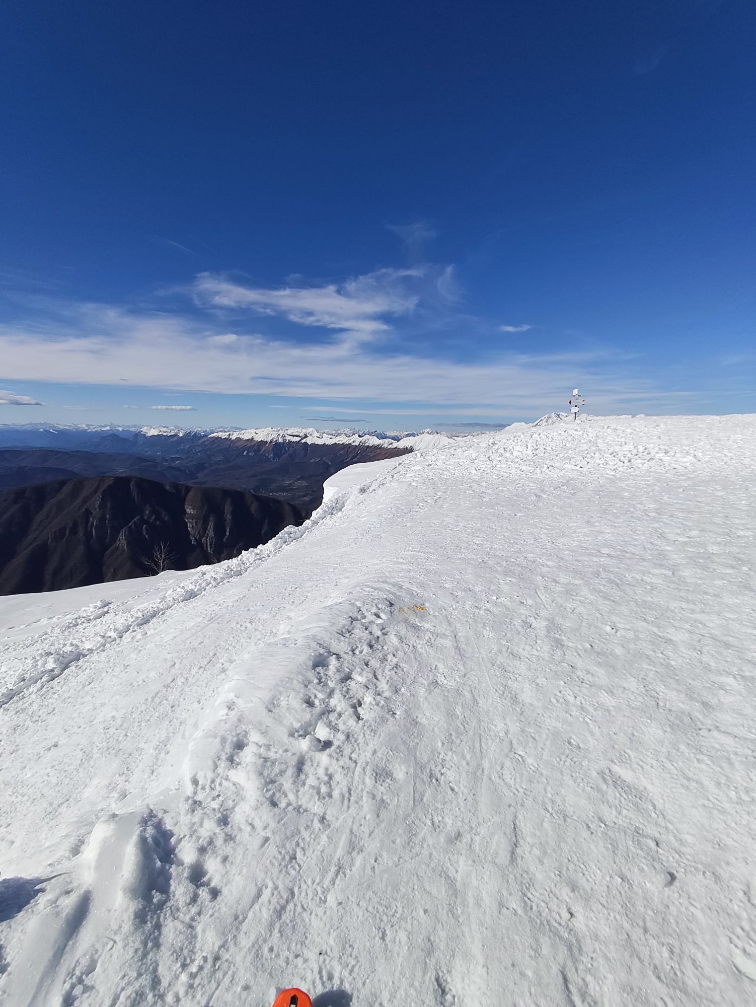
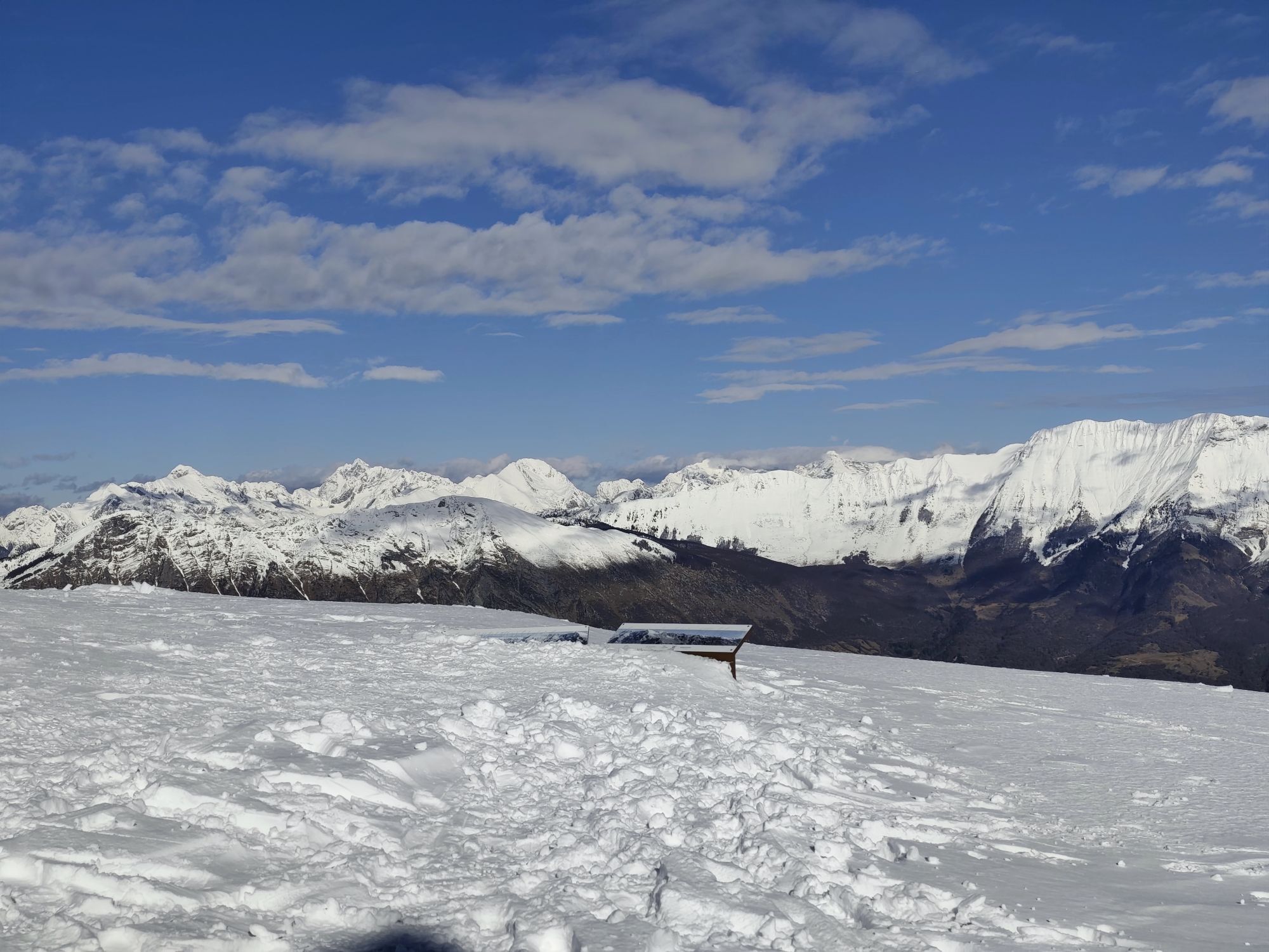
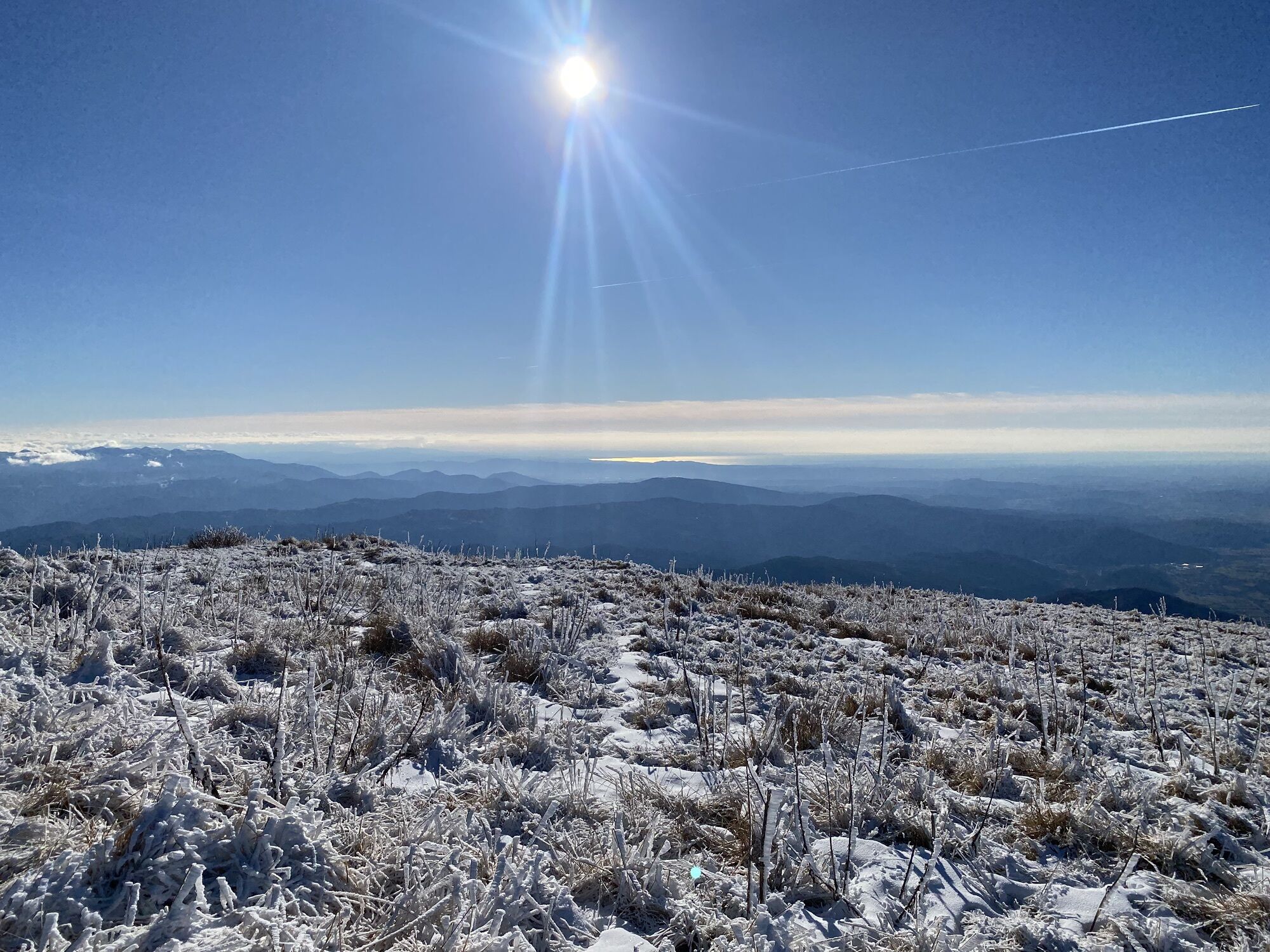
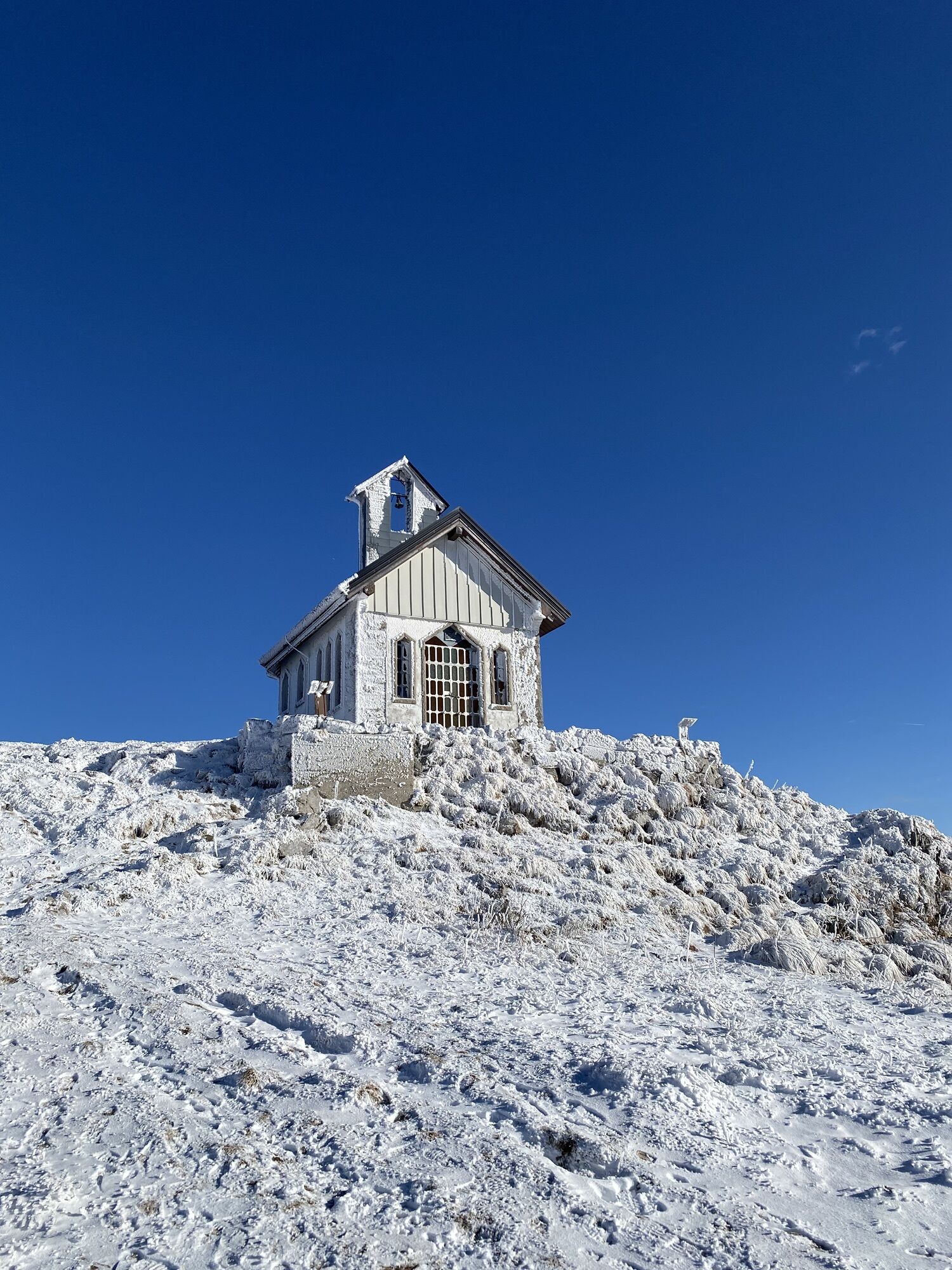
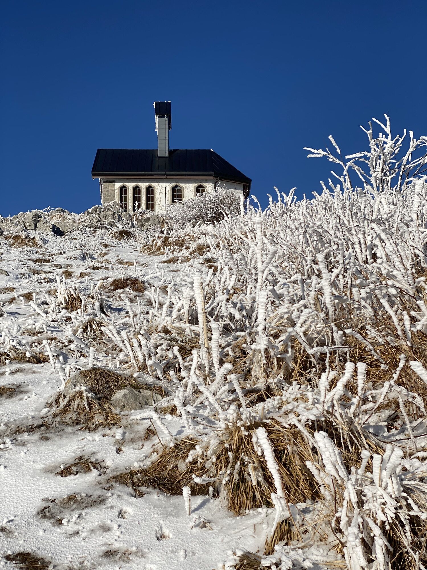
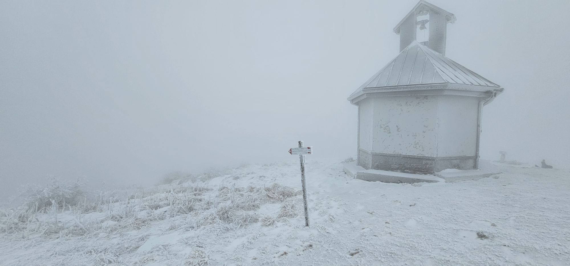
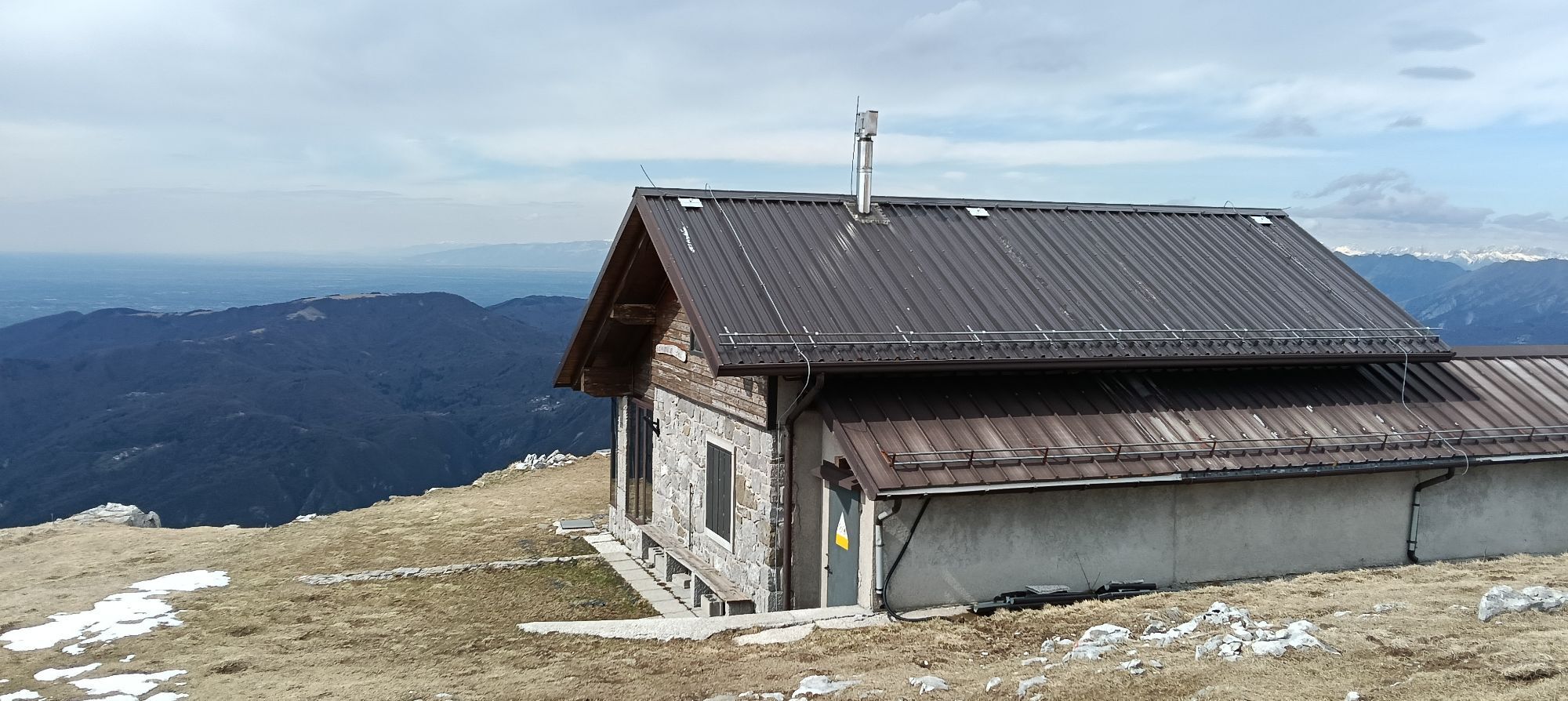
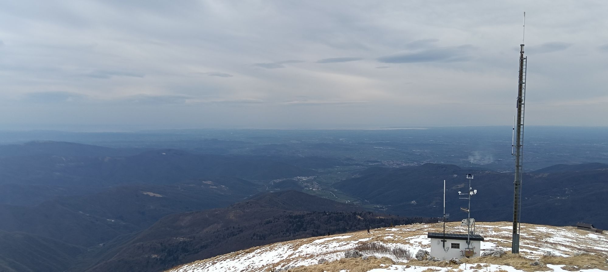
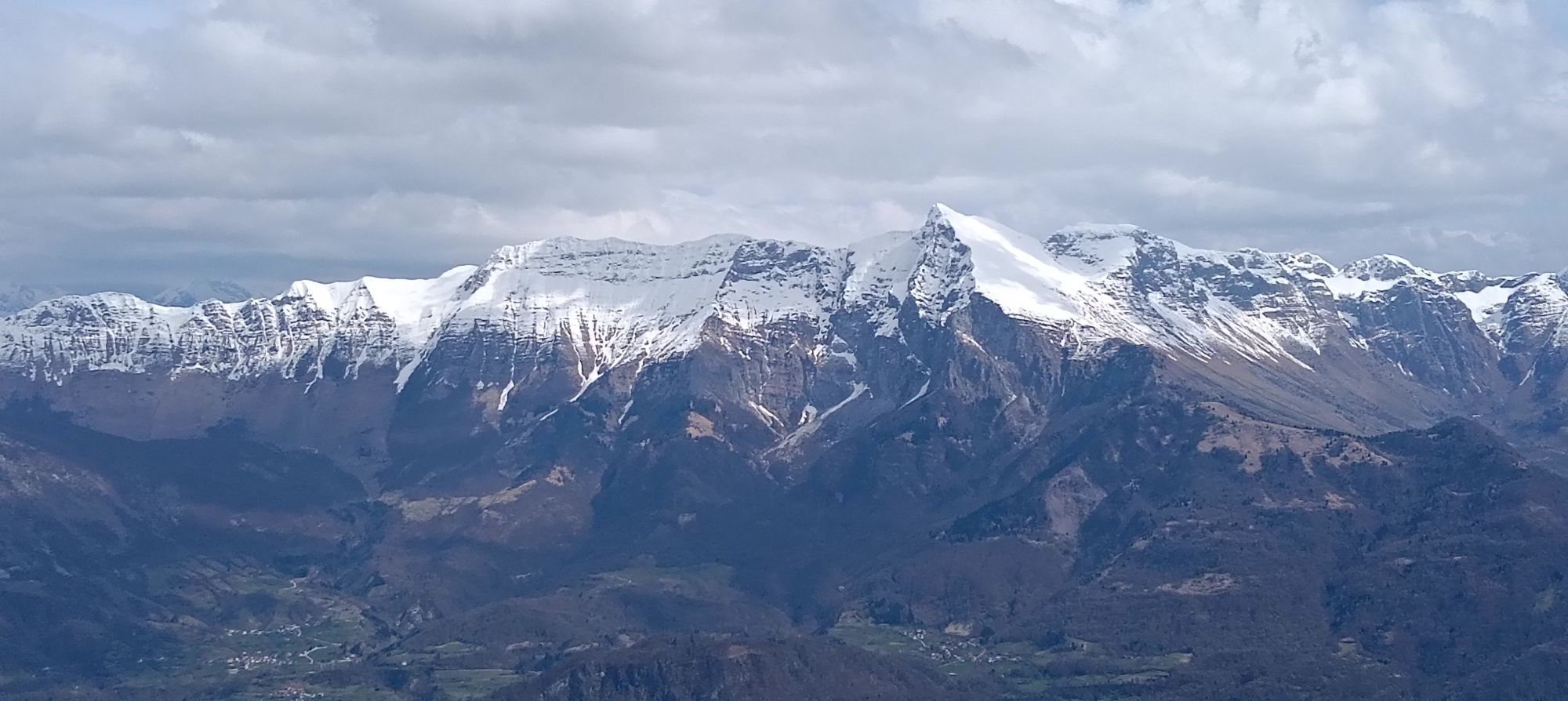
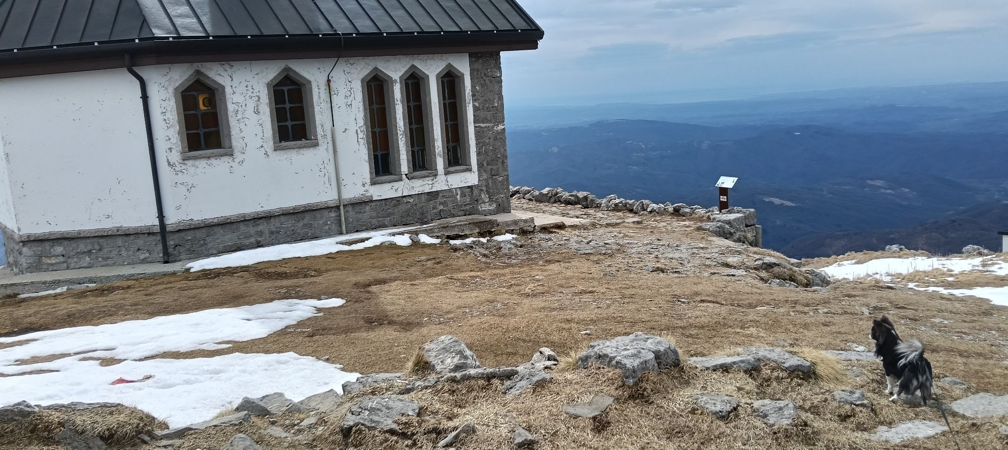
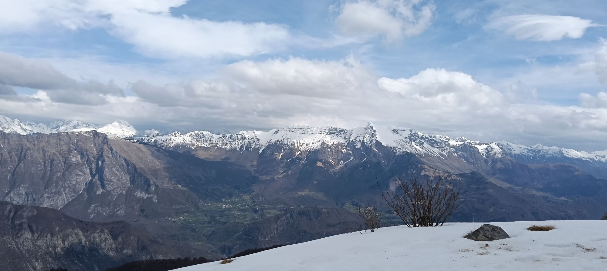
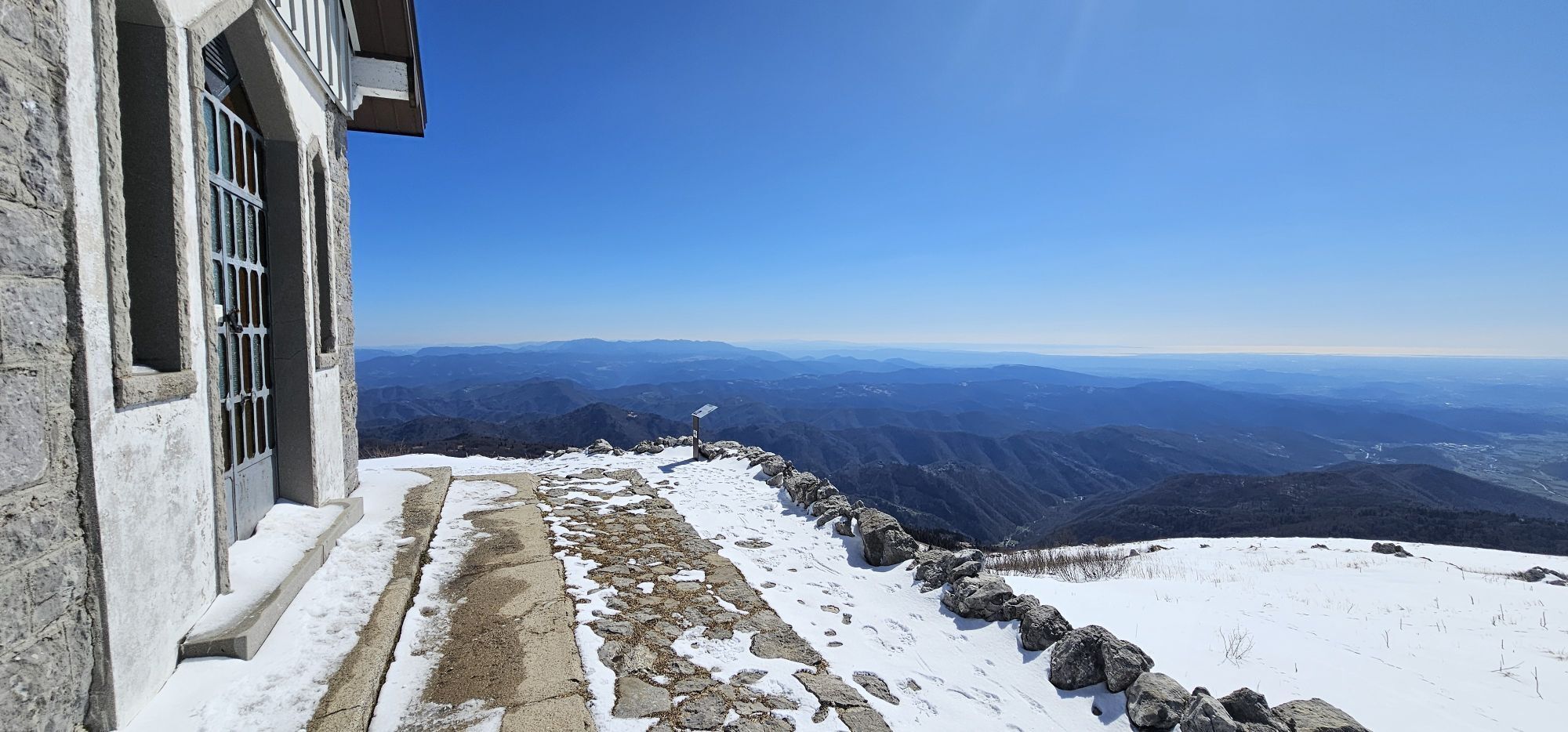
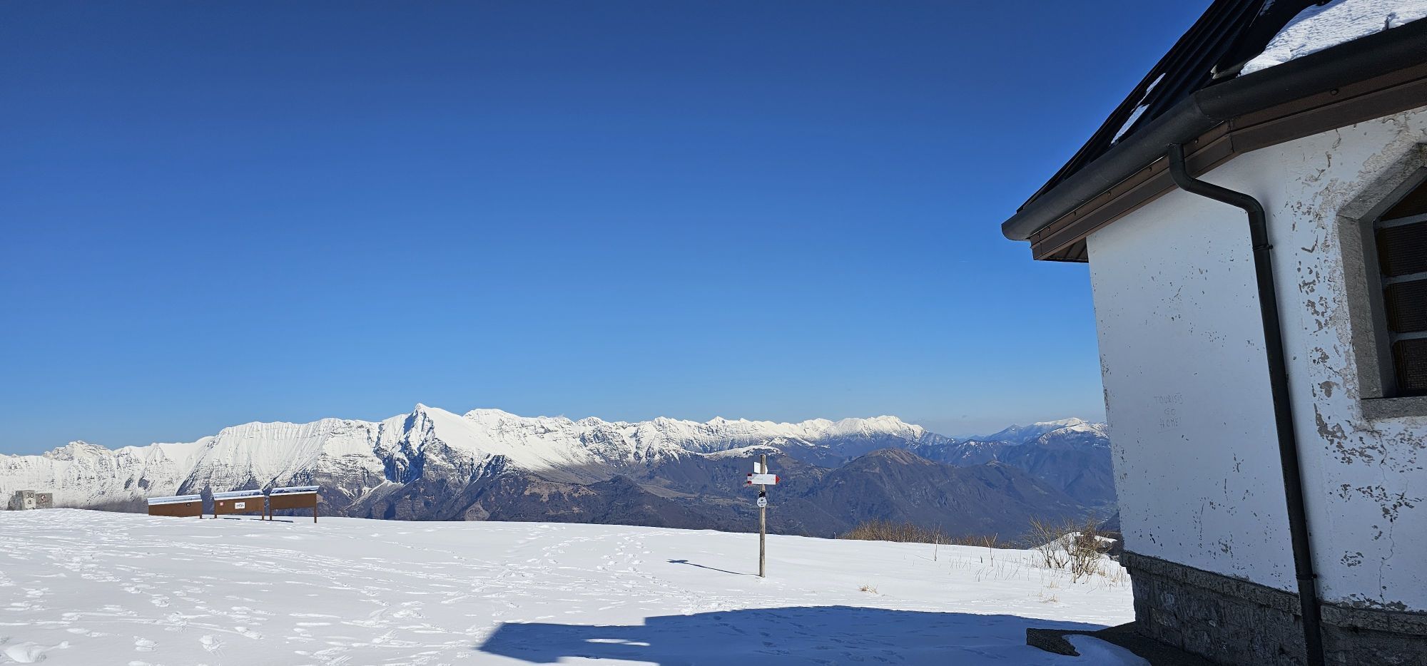
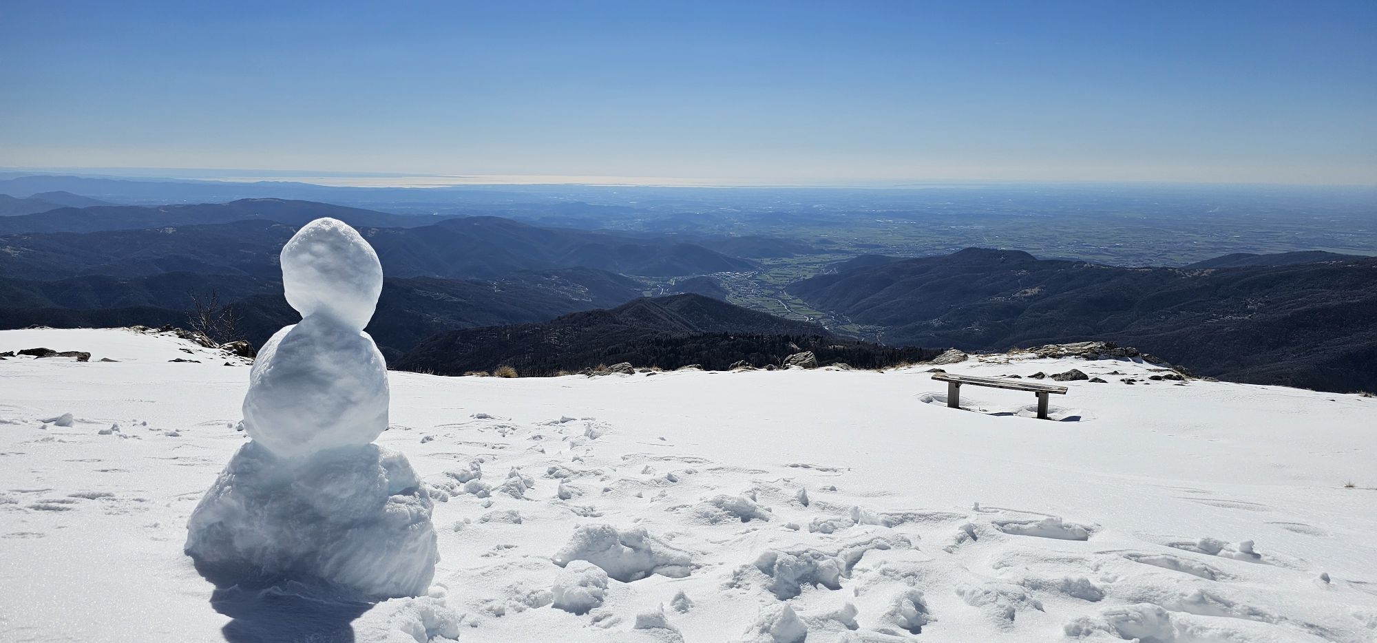

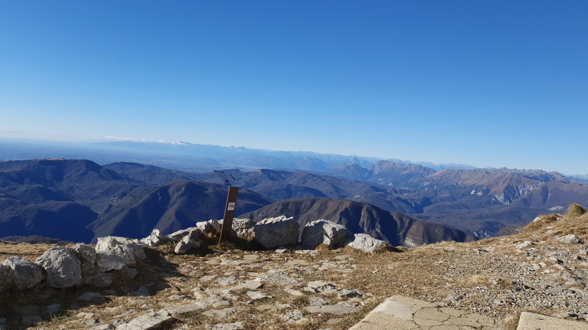
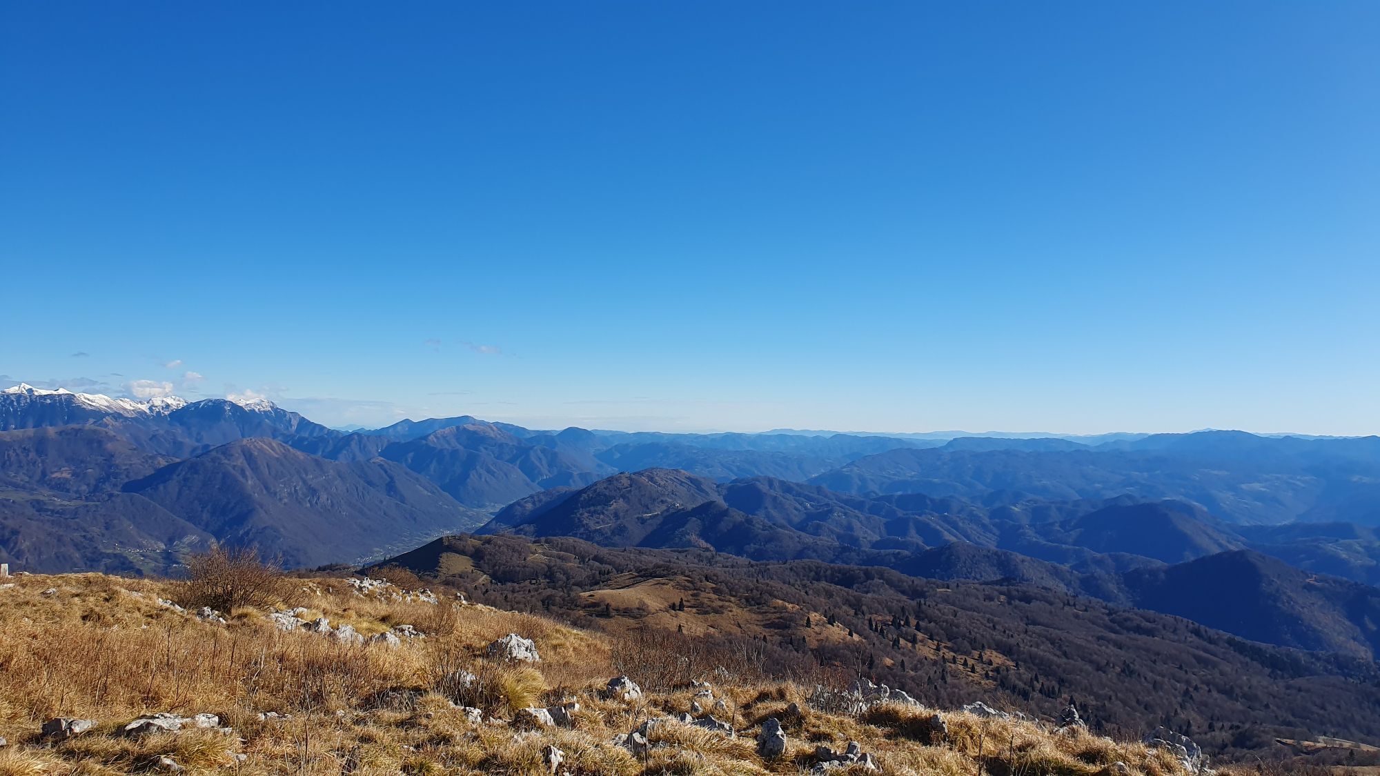
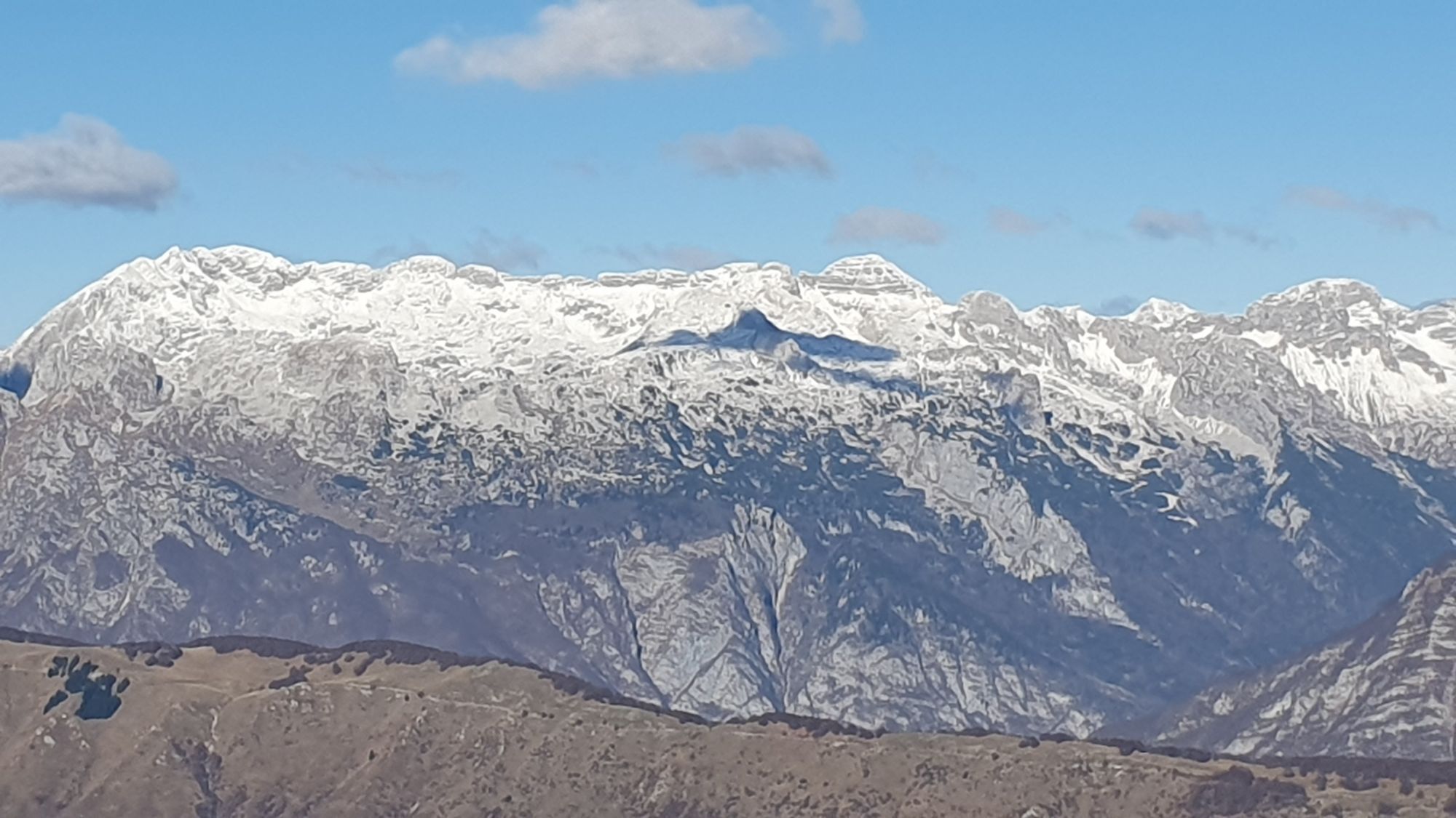
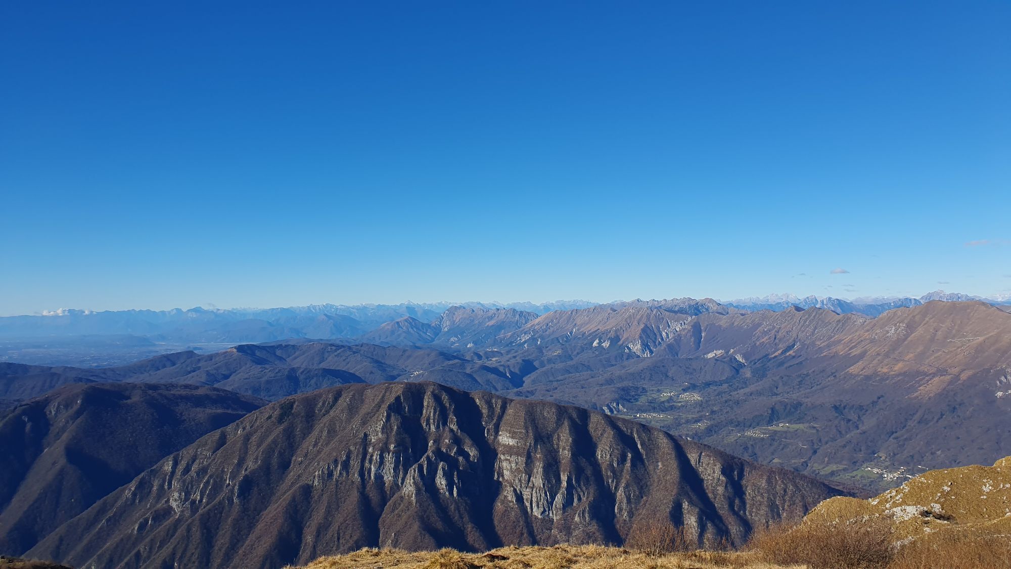
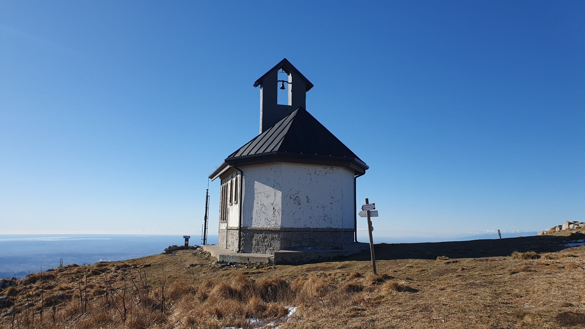
It has been voted by readers of an important industry website as one of the best "natural" descents in all of Europe. The route is very varied and starts with a rocky and steep section that puts the endurance...
It has been voted by readers of an important industry website as one of the best "natural" descents in all of Europe. The route is very varied and starts with a rocky and steep section that puts the endurance of the rider and their bike to the test. After passing the meadows before the Glevizza pass, the very flowy central section continues with some technical downhill passages. The final part is characterized, after the slight climb to S. Canziano pass, by some rock gardens and the finish trail (Sorzy) with some easy and fun small jumps. The terrain is largely clay and consequently, in wet conditions, it becomes very challenging and is not recommended for inexperienced riders. For updates on the route, please refer to the managers https://natisonebikearena.it/sentieri/.

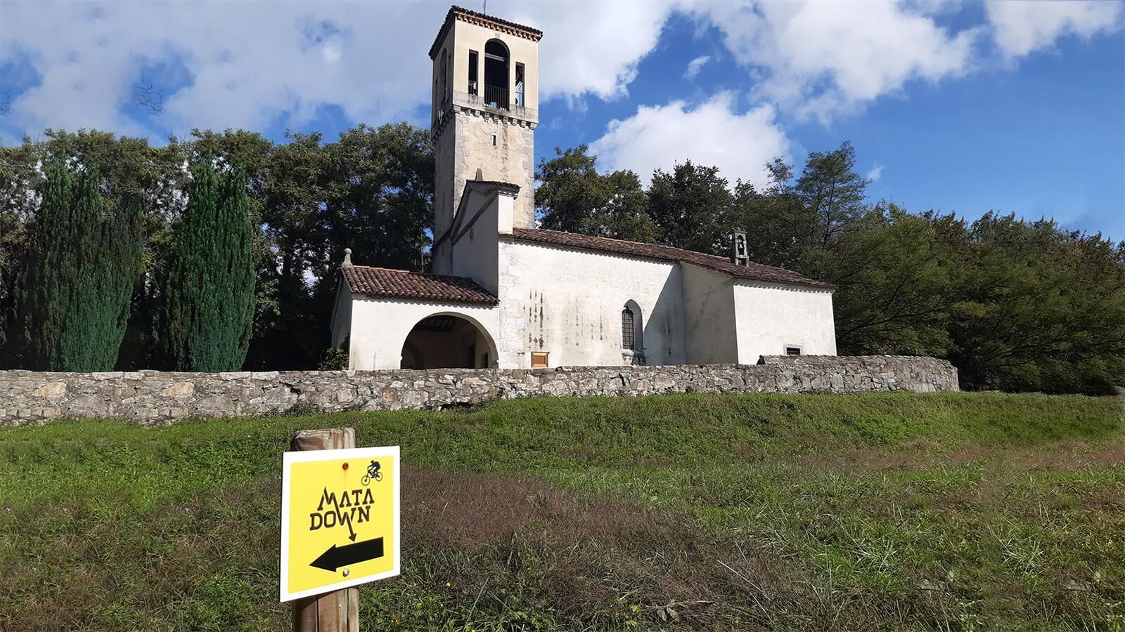

Route Type: Enduro – Gravity E-Bike Recharge: No Length: 11,300 m Negative elevation change: 1,442 m Positive elevation change: 50 m Average time: 1 h 10 min Surface: Mountain trail on private property ITA Classification: Intermediate - Difficult. A.S.D. Machete Team macheteteamofficial@gmail.com
Obľúbené výlety v okolí
-
4,6
Kozjak Wasserfall und Soča
svetloTuristika 5,18 km -
3,3
Auf den Krn
strednáTuristika 5,90 km -
3,2
Slap Kozjak (Wasserfall)
svetloTuristika 3,40 km -
4,0
Matajur
strednáMountainbike 24,8 km -
4,3
Stol Nord
strednáMountainbike 37 km -
4,2
Kolovrat
strednáMountainbike 33,0 km -
JULIANA TRAIL: stage 13 Kobarid – Bovec
strednáTuristika 23,1 km -
4,8
Kobarid - Stari grad - Restaurant Kamp Lazar - Veliki Kozjak
strednáTuristika 8,98 km -
5,0
Planina Kuhinja - Gomiščkovo zavetišče na Krnu - Krn - Batognica
strednáTuristika 14,4 km -
5,0
JULIANA TRAIL - stage 12: Tolmin – Kobarid
strednáTuristika 17,3 km
Turistika a stopovanie


Nenechajte si ujsť ponuky a inšpiráciu na ďalšiu dovolenku
Vaša e-mailová adresa bol pridaný do poštového zoznamu.





