


San Cristoforo Path | Val Meduna Ring
The Val Meduna welcomes visitors with picturesque villages, woods, streams, and rocks, offering routes with ascents and descents that allow relaxing the mind and fully connecting with the body.
Meduno...
The Val Meduna welcomes visitors with picturesque villages, woods, streams, and rocks, offering routes with ascents and descents that allow relaxing the mind and fully connecting with the body.
Meduno serves as an access point to this wonder, surrounded by woods and paths leading to the contemplation of the Prealps and the Alps. Monte Valinis represents the highest point of the San Cristoforo Path, offering breathtaking views and the opportunity to admire hang gliders and paragliders flying above the Meduna and Tagliamento rivers.
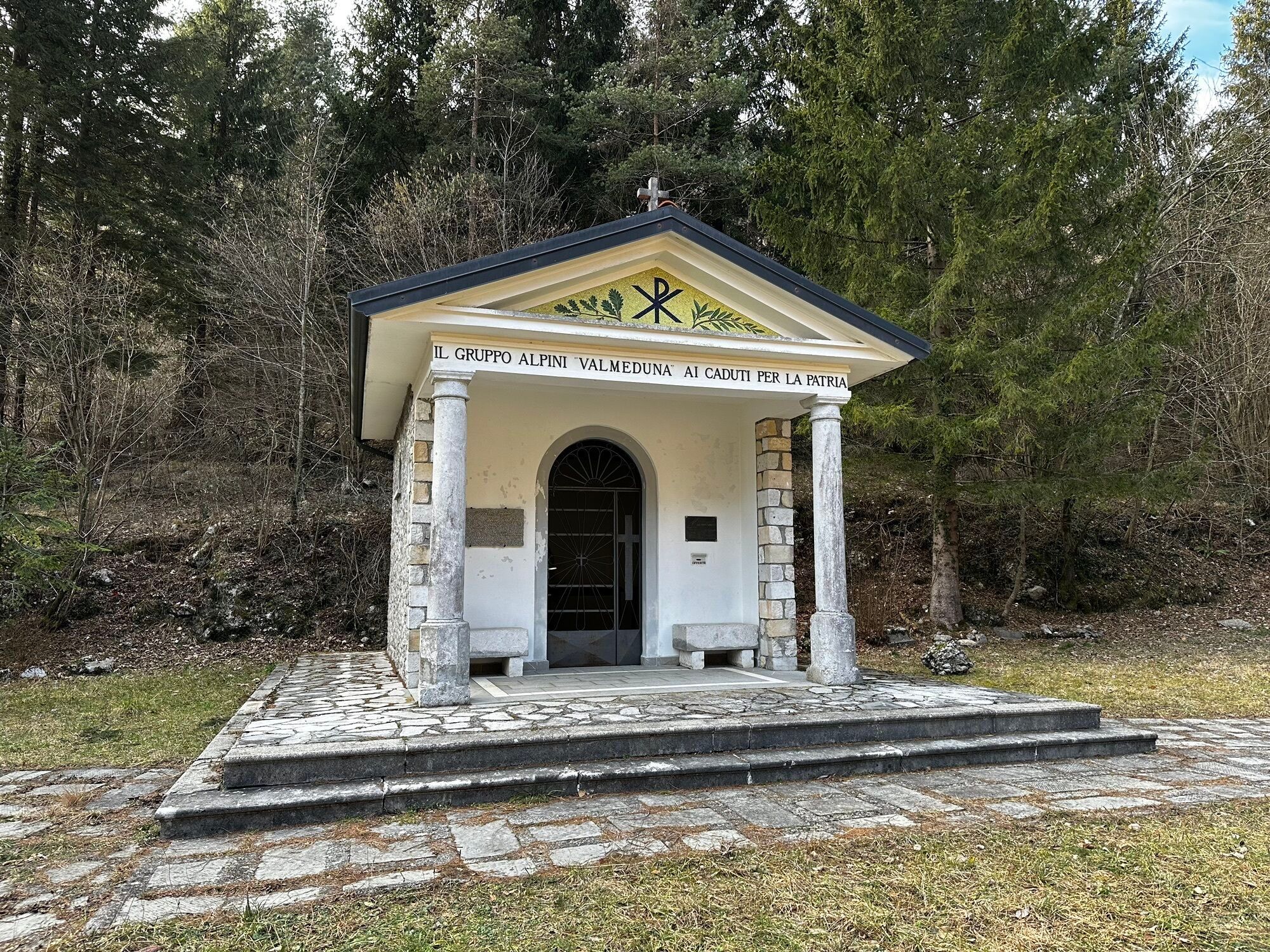
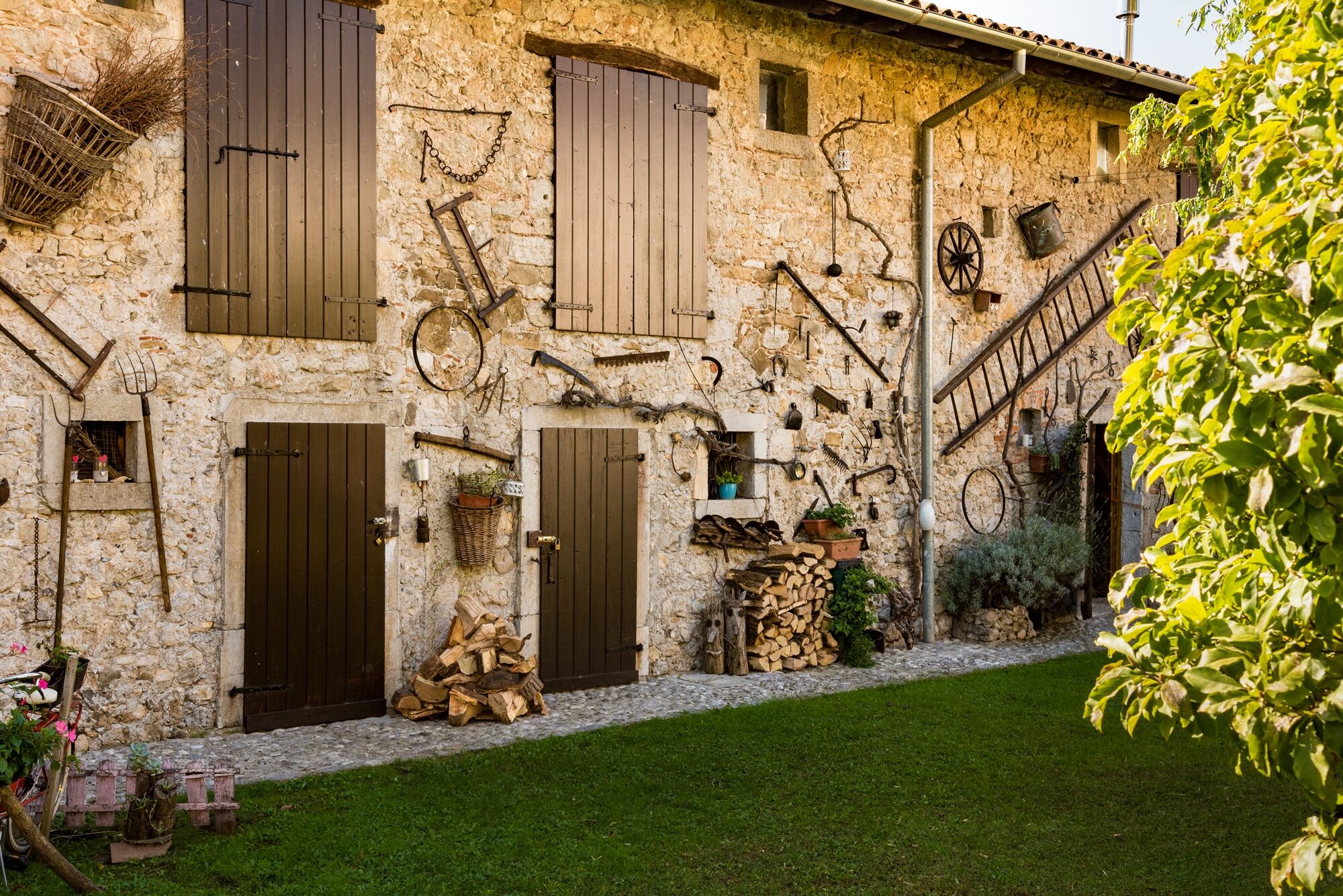
As you continue along the route, you pass through quiet or abandoned villages that tell of an era when humans lived in complete symbiosis with nature, offering vitality and thrilling views that surprise visitors seeking deeper experiences.
Val Meduna is perhaps the most intimate and hidden route of this journey.
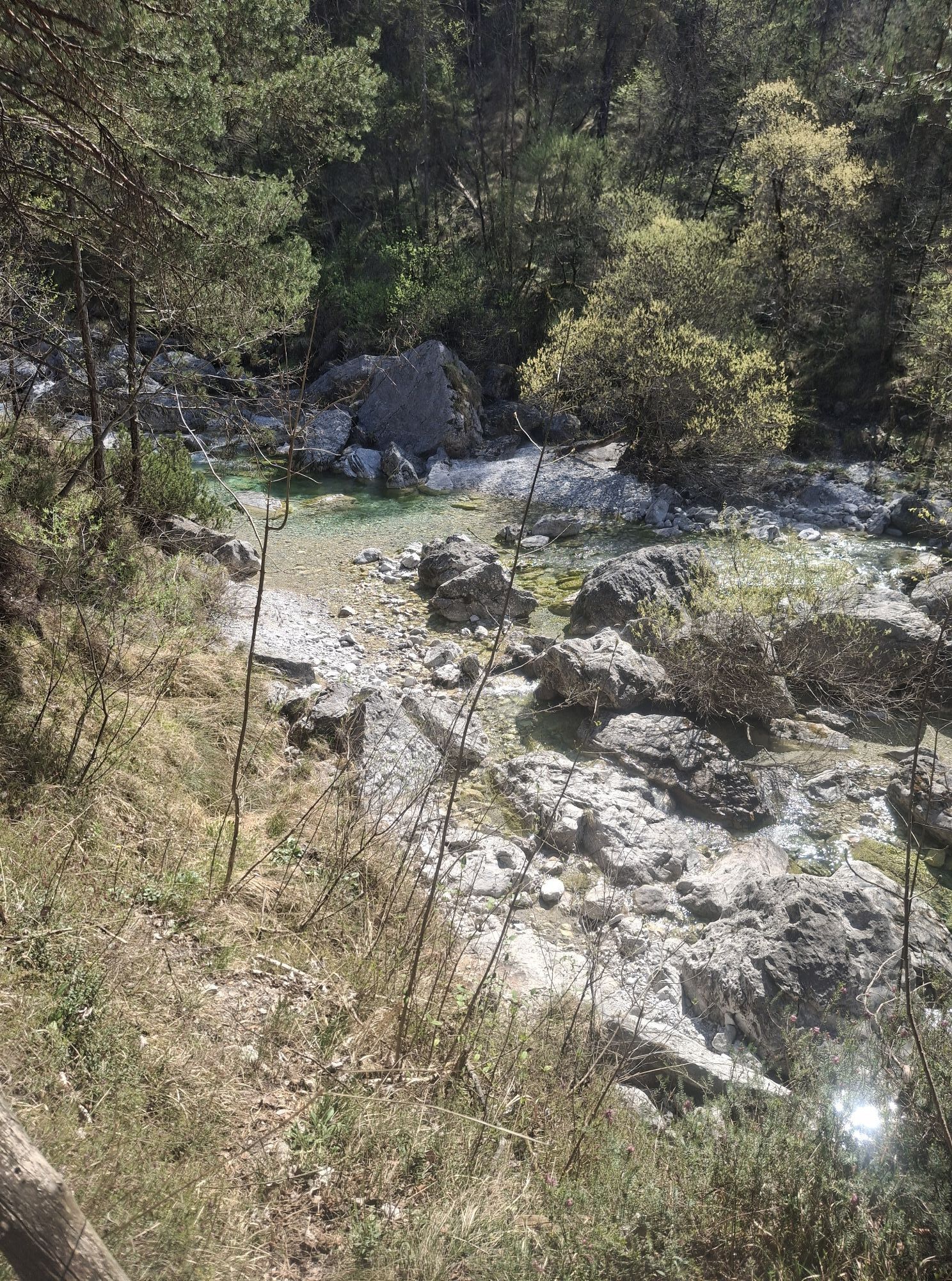
Leaving the plain, here you enter another world made of small villages, woods, waters and rocks, climbs and descents that engage you even more in living the body and freeing the mind, to dedicate yourself to the contemplation of the genuine beauty of this valley.
Meduno welcomes you as a gateway to these treasures, a small town made up of hamlets, like islands, connected by woods and a thousand paths. It is the starting point for a climb that will take you to contemplate the Prealps and then the Alps stretching almost infinitely to the north, or the Friulian plain up to the Gulf of Trieste on the Adriatic Sea.
Monte Valinis is the highest point of the San Cristoforo Path, a privileged place from which the "travelers" of the air launch themselves with their hang gliders and paragliders, slender figures you will see soaring like the birds of prey in these areas, above the beds of the Meduna and Tagliamento, the last wild river of Europe.
After admiring the world from above and leaving Meduno behind you, the invitation is to enter a privileged space and time, of small silent or abandoned villages, witnesses of an era of absolute symbiosis with the forces of nature. Those living forces, of rocks, trees, meadows and sudden pools with vibrant colors that surprise those like you who are looking for something more, beyond appearances.
Standard hiking equipment.
Best appreciated especially in late spring.
Meduno can be reached from the SR552 from Sequals or from Tramonti di Sotto;
from SP2 from Maniago;
from SP32 from Travesio
Line BB (BIKE-BUS) MANIAGO-MEDUNO-TRAVESIO-PINZANO-GEMONA
LINE P14 Meduno-Maniago-Pordenone
LINE P27 Tramonti Di Sopra-Meduno-Sequals-Spilimbergo
LINE P28 Tramonti Di Sopra-Meduno-Maniago-Pordenone
There are several parking lots in the town of Meduno.
Reference to the site: Val Meduna Ring (camminodisancristoforo.com)
Not to be missed is Monte Valinis, the highest point of the San Cristoforo Path, a privileged place from which the "travelers" of the air launch themselves with their hang gliders and paragliders.
Obľúbené výlety v okolí
-
4,8
Monte Cuar loop
strednáTuristika 7,26 km -
PATH OF THE POZZE SMERALDINE
svetloTuristika 6,77 km -
5,0
Monte Prat loop from Cornino
strednáTuristika 15,2 km -
Loop of Monte di Ragogna
strednáTuristika 11,9 km -
Palcoda a Tamar, opustené dediny
strednáTuristika 8,38 km -
From Sella Chianzutan to Colle dei Larici, the route of red marble
strednáTuristika 10,5 km -
5,0
Raut da Palabarzana
strednáTuristika 9,72 km -
Parenzana Extended
strednáMountainbike 422,0 km -
Panoramatická trasa z priesmyku Rest do hory Rest
strednáTuristika 7,72 km -
Monte Valinis loop from Sottomonte
strednáTuristika 8,41 km
Turistika a stopovanie


Nenechajte si ujsť ponuky a inšpiráciu na ďalšiu dovolenku
Vaša e-mailová adresa bol pridaný do poštového zoznamu.