






13 Malchina/Mavhinje - Miramare/Miramar
Úroveň náročnosti: T2
We are now at the edge of the Karst escarpment, the Gulf of Trieste/Trst, the final stage of the Walk of Peace, stretches out and comes into view at the edge of the numerous points of interest this time...
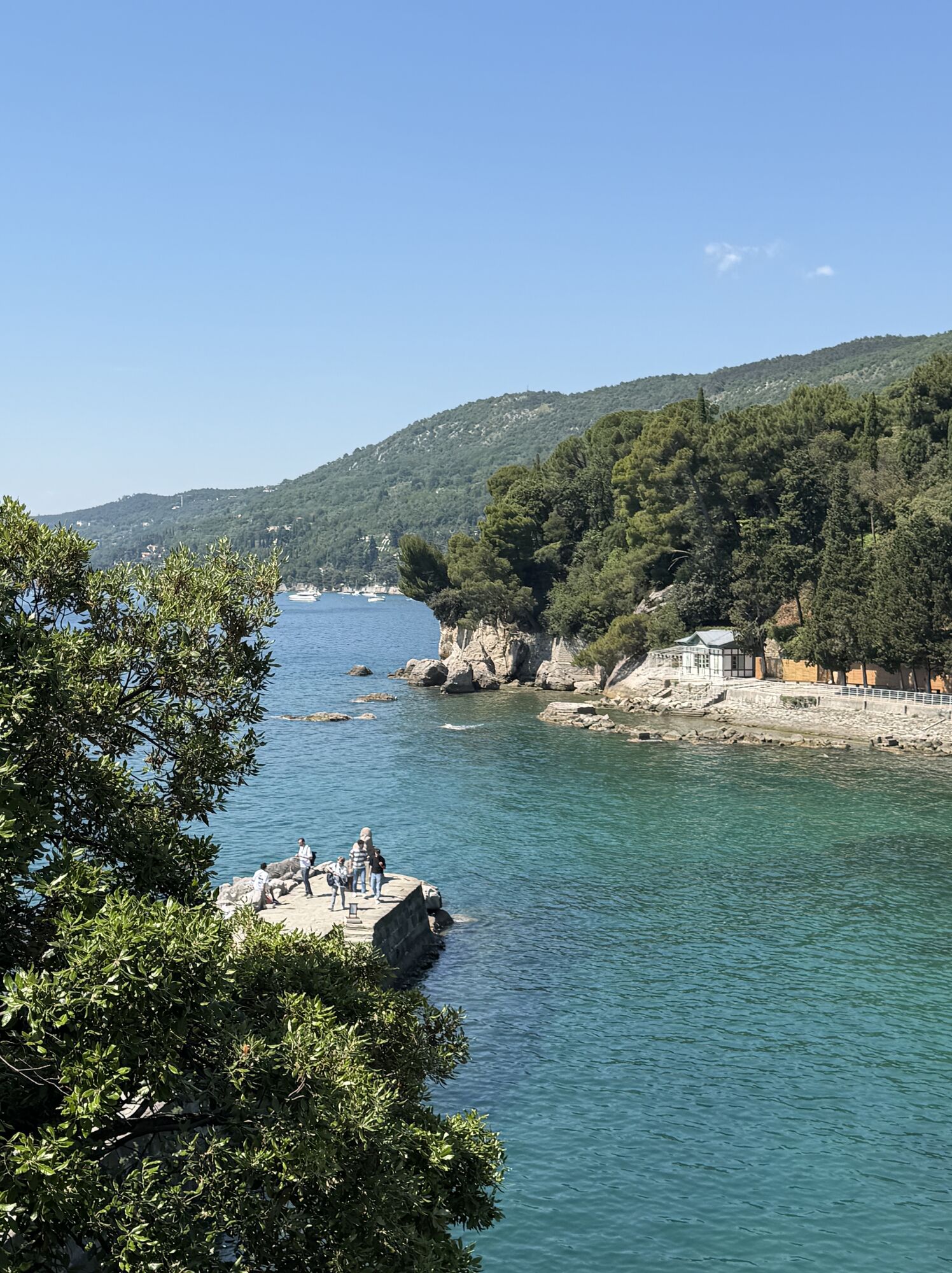
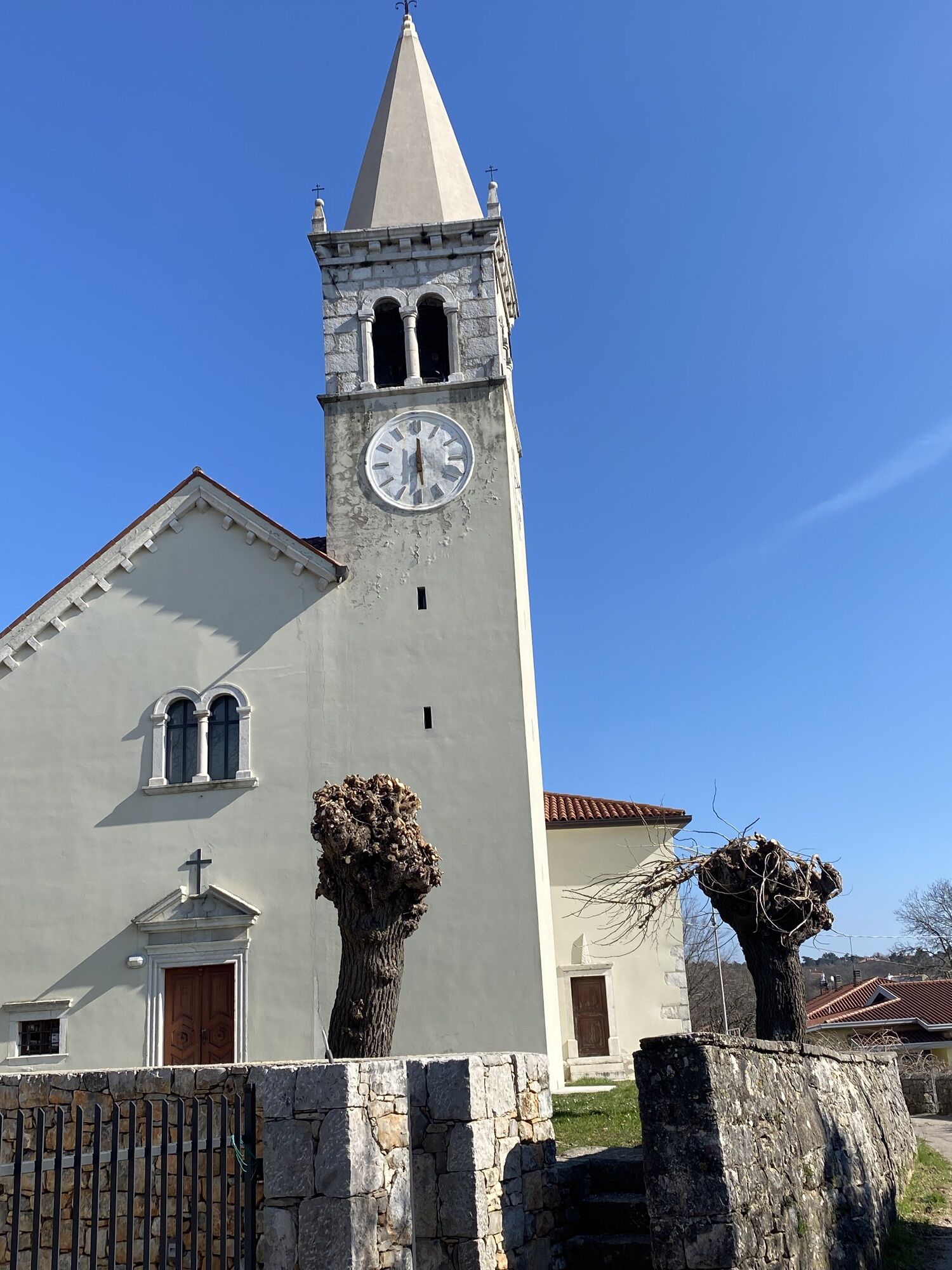
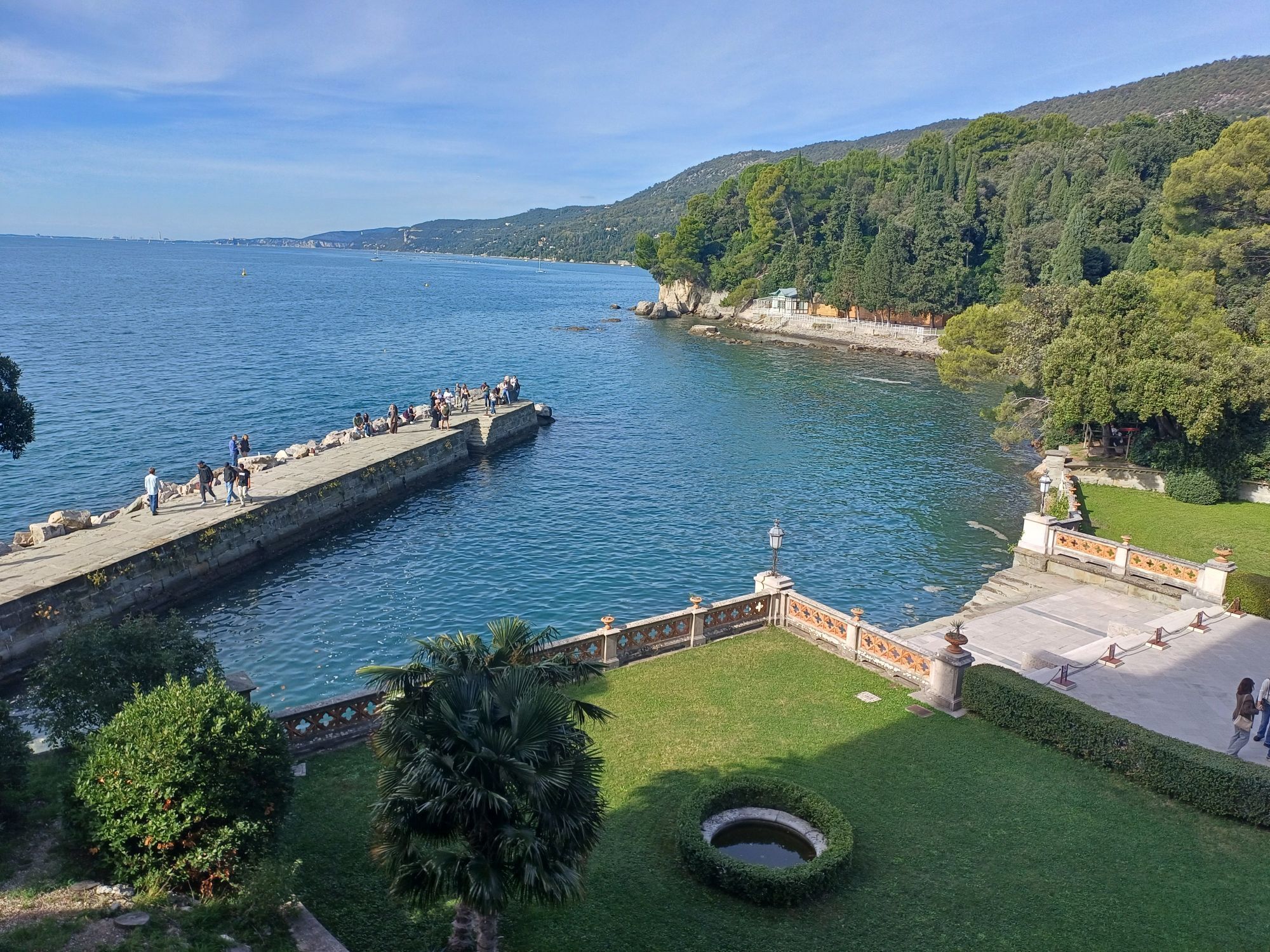
We are now at the edge of the Karst escarpment, the Gulf of Trieste/Trst, the final stage of the Walk of Peace, stretches out and comes into view at the edge of the numerous points of interest this time linked to the Austro-Hungarian army engaged in defending the city of Trieste, the main port on the Adriatic of the empire. The Italian army, despite numerous attempts, never succeeded in taking possession of these territories before the end of the conflict. Remains from the First World War and cemeteries dot this last part of the route immersed once again in the green and rugged beauty of the Karst escarpment. The immense turquoise expanse of the sea arrives, calmly, only at the end, when you start the descent to reach the white Miramare Castle and its protected marine reserve.

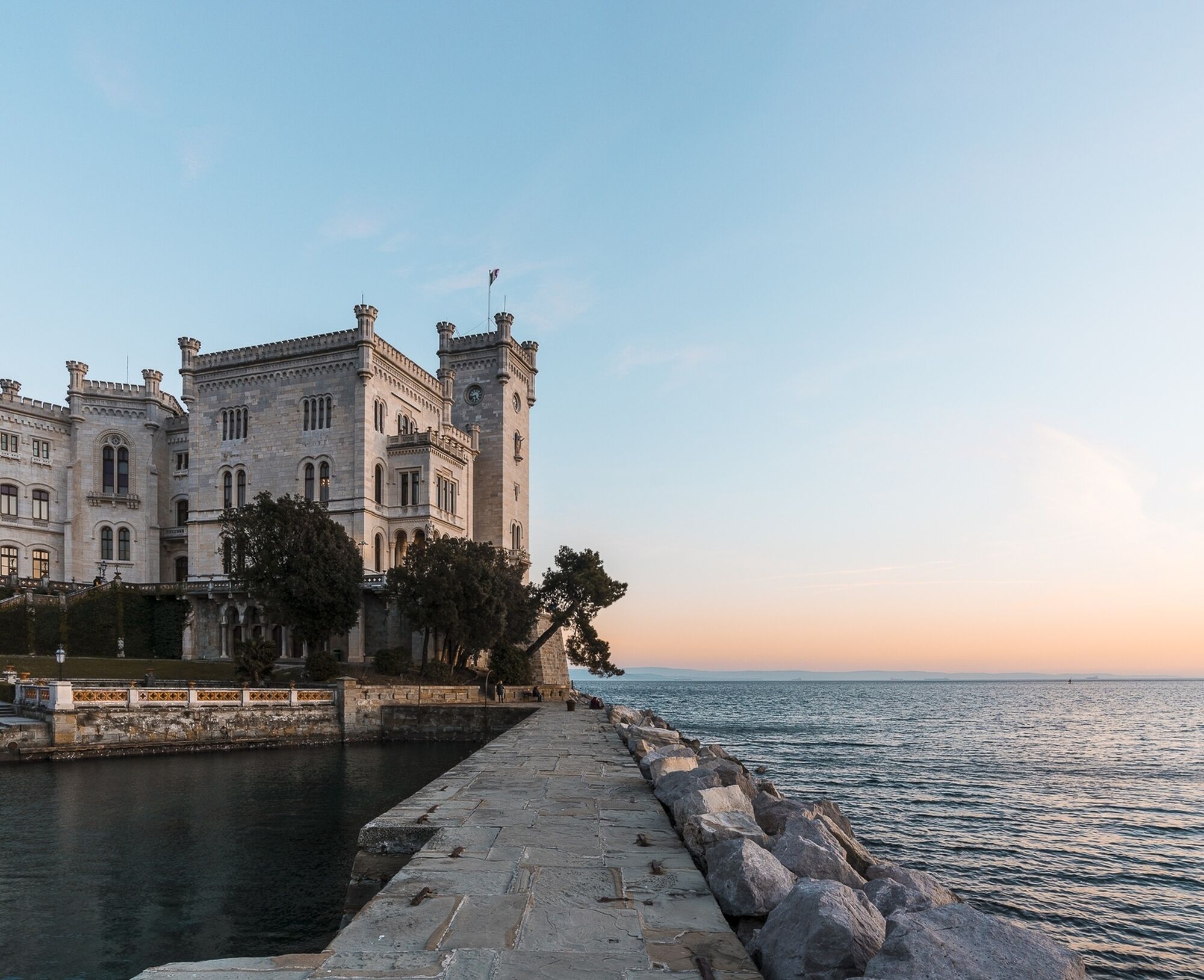
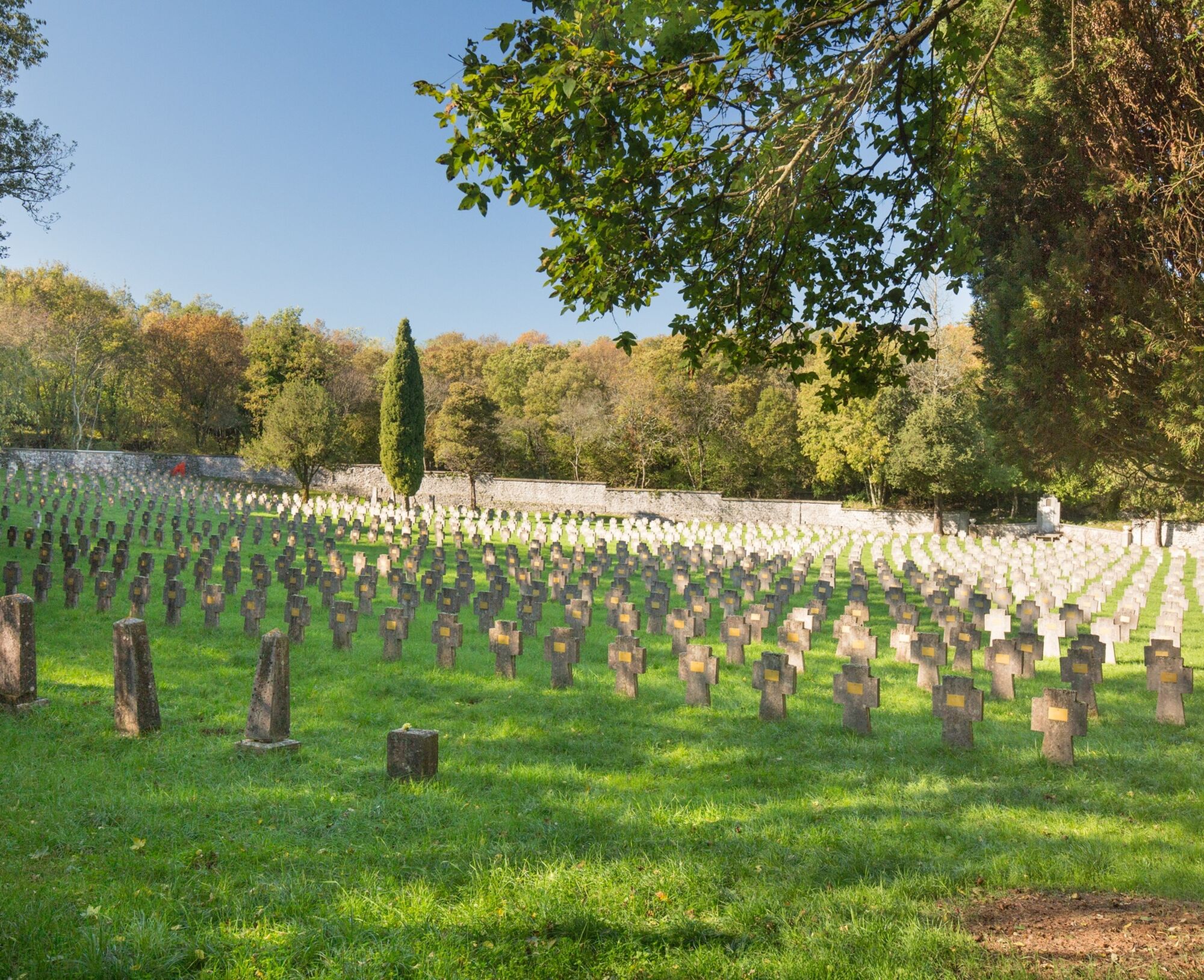
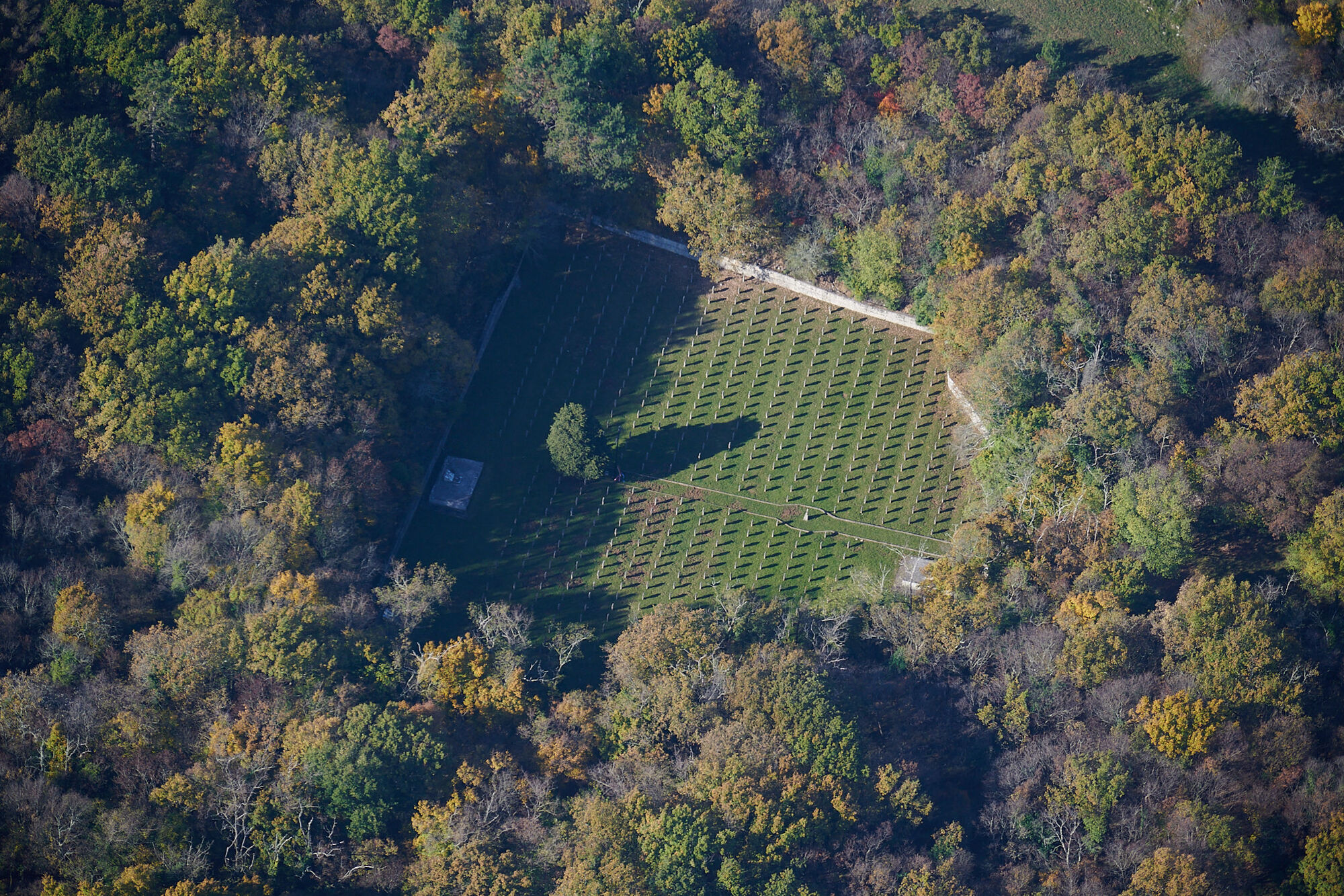
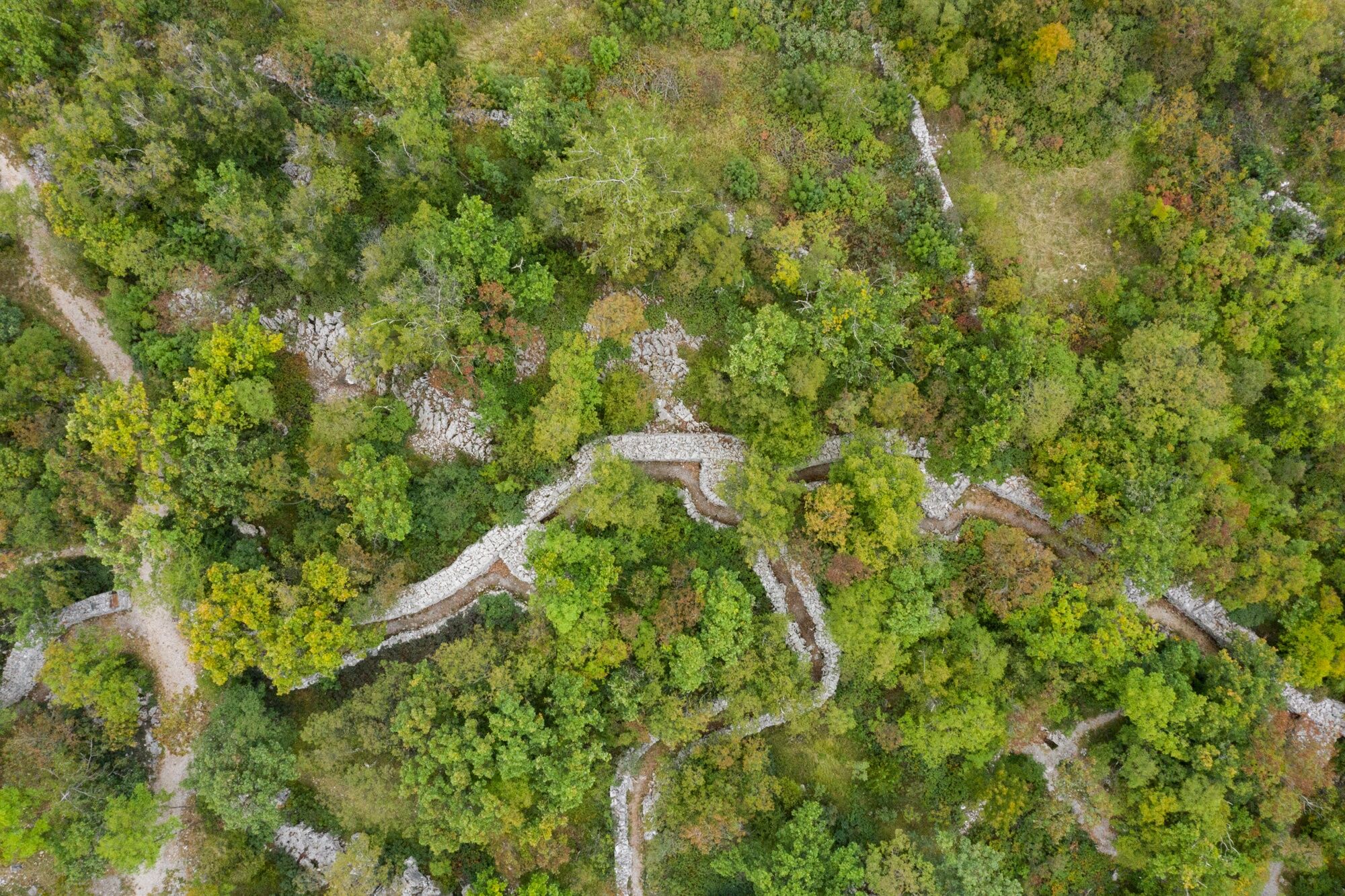

The stage starts from Malchina, a junction point with the Italian and Slovenian stages on the Carso/Kras starting from Gorizia/Gorica and Nova Gorica (9â11 SI and 9-12 IT), and continues along CAI path 3 up to the junction with CAI path 32 that leads to Precenico Superiore/Gorenji PreÄnik and San Pelagio/Šempolaj. It then continues along SP 5 until the start of CAI path 10 leading to Prepotto/Prapot and Lupinc Škaljunk Park. Shortly after, you move from CAI path 10 to CAI path 35 passing near the Caterina Cave/Katra peÄina to reach Aurisina Station/Nabrežina Postaja. Then follow CAI path 19 and then CAI path 32; it is possible to visit the Austro-Hungarian cemetery in the area. Returning back, you continue toward Aurisina/Nabrežina following CAI path 1 towards Santa Croce/Križ, crossing Park 97 – Austro-Hungarian military training field and the doline where the Austro-Hungarian cemetery of Prosecco/Prosek is located. Following CAI path 9 you arrive at Miramare Station and the entrance to the castle park, the stage's endpoint.
Áno
Trekking shoes and clothing, packed food and drinks, flashlight, trekking poles
In summer pay attention to high temperatures and possible medium-length stretches without shade.
In winter months, possible cold days and strong wind.
End point: Viale Miramare, Miramare/Miramar
Connections to and from Malchina:
Line 43 (Trieste Trasporti) change to line 44 for downtown Trieste.
Connections to and from Miramare
Line 51 APT Gorizia: Extra-urban line Udine–FVG Airport–Monfalcone–Trieste with stop at Miramare
Line 6 Trieste Trasporti: Bus line Piazzale Gioberti–San Giovanni/Grignano–Miramare Castle
Line 36 (SEASONAL) Trieste Trasporti: Bus line Miramare junction–Via Giulia (Trieste)
Maritime line (SEASONAL) Trieste Trasporti: Trieste–Barcola–Grignano (Miramare)–Sistiana
Rail connections: Miramare FS Station
Start: Piazza Malchina, Malchina/Mavhinje
Arrival: Viale Miramare, Miramare/Miramar
T2
Obľúbené výlety v okolí
-
4,7
Rilkeweg
svetloTuristika 6,19 km -
4,6
Triest-Opicina (Obelisk) nach Prosecco
svetloTuristika 4,28 km -
2,7
Grado - Terst (C204)
strednáDiaľková cyklotrasa 68,2 km -
5,0
Etappe 34 Alpe-Adria-Trail: Duino - Prosecco
strednádiaľková pešia trasa 24,3 km -
5,0
Etappe 35 Alpe-Adria-Trail: Prosecco – Lipica
strednádiaľková pešia trasa 20,8 km -
3,0
Die Isola della cona
svetloTuristika 12,7 km -
4,0
Loop on the Derin trail and Globojner Park
strednáTuristika 7,36 km -
5,0
Sage Trail or Tiziana Weiss
svetloTuristika 2,41 km -
FVG 2/b Krasový variant (C2V2)
ťažkéDiaľková cyklotrasa 105,1 km -
4,0
Etappe 33 Alpe-Adria-Trail: Gradisca d'Isonzo - Duino
strednádiaľková pešia trasa 27,8 km
Turistika a stopovanie


Nenechajte si ujsť ponuky a inšpiráciu na ďalšiu dovolenku
Vaša e-mailová adresa bol pridaný do poštového zoznamu.





