







Carbonaie and Col Cornier loop
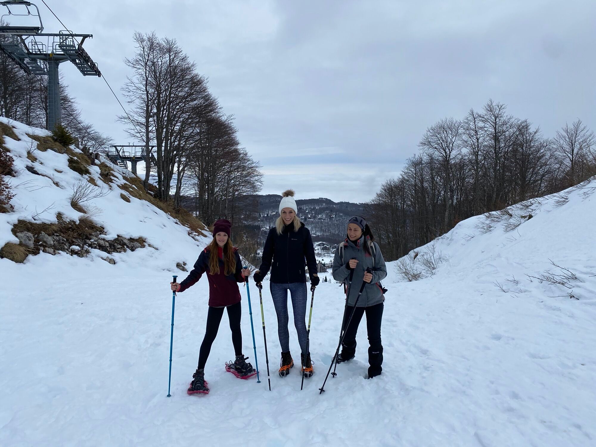
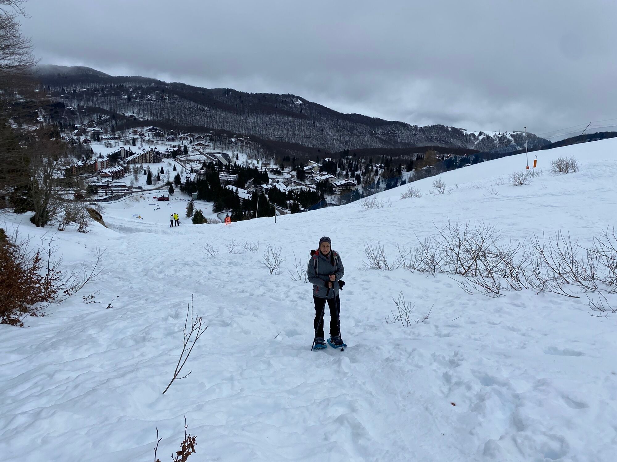
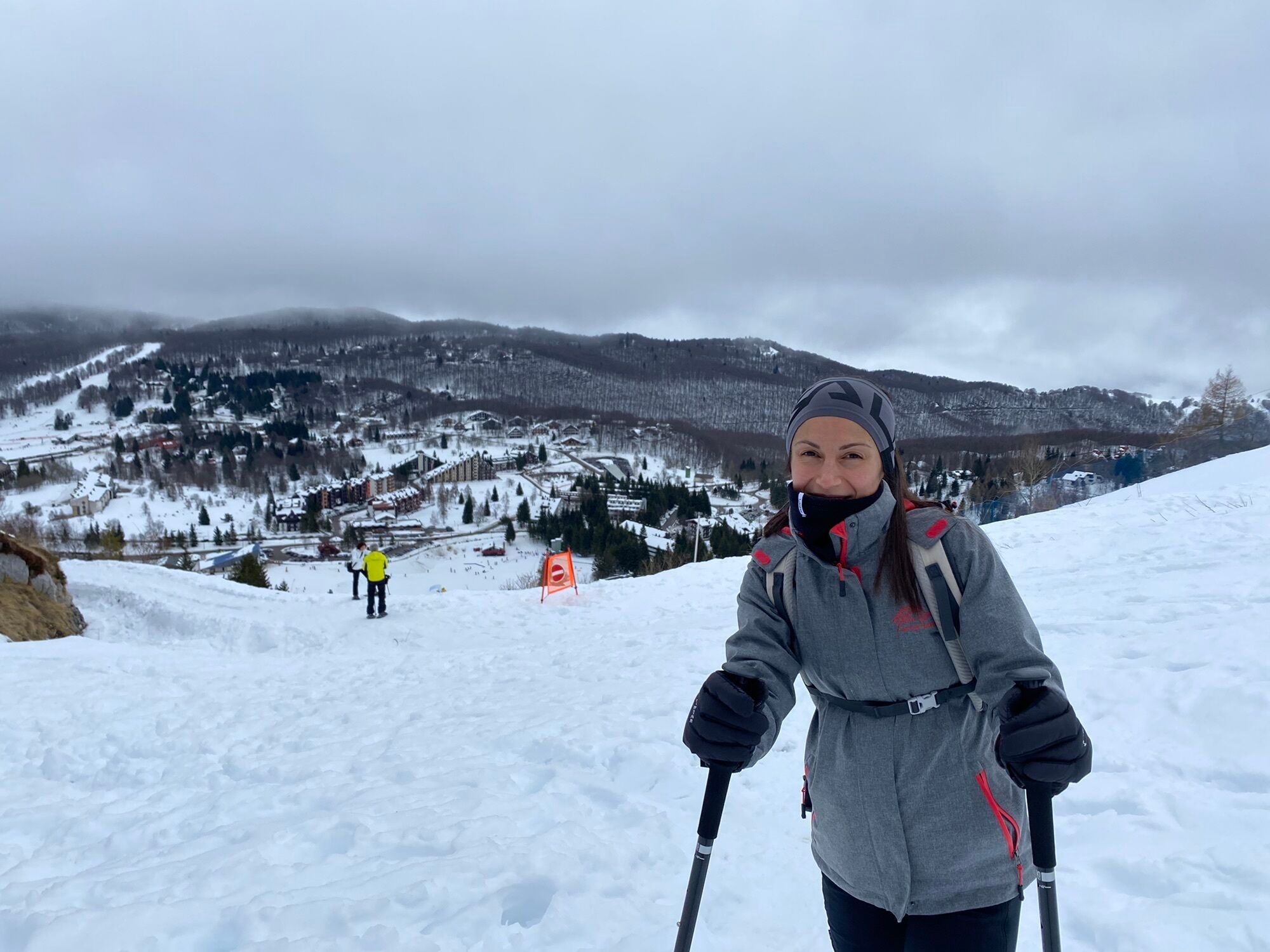
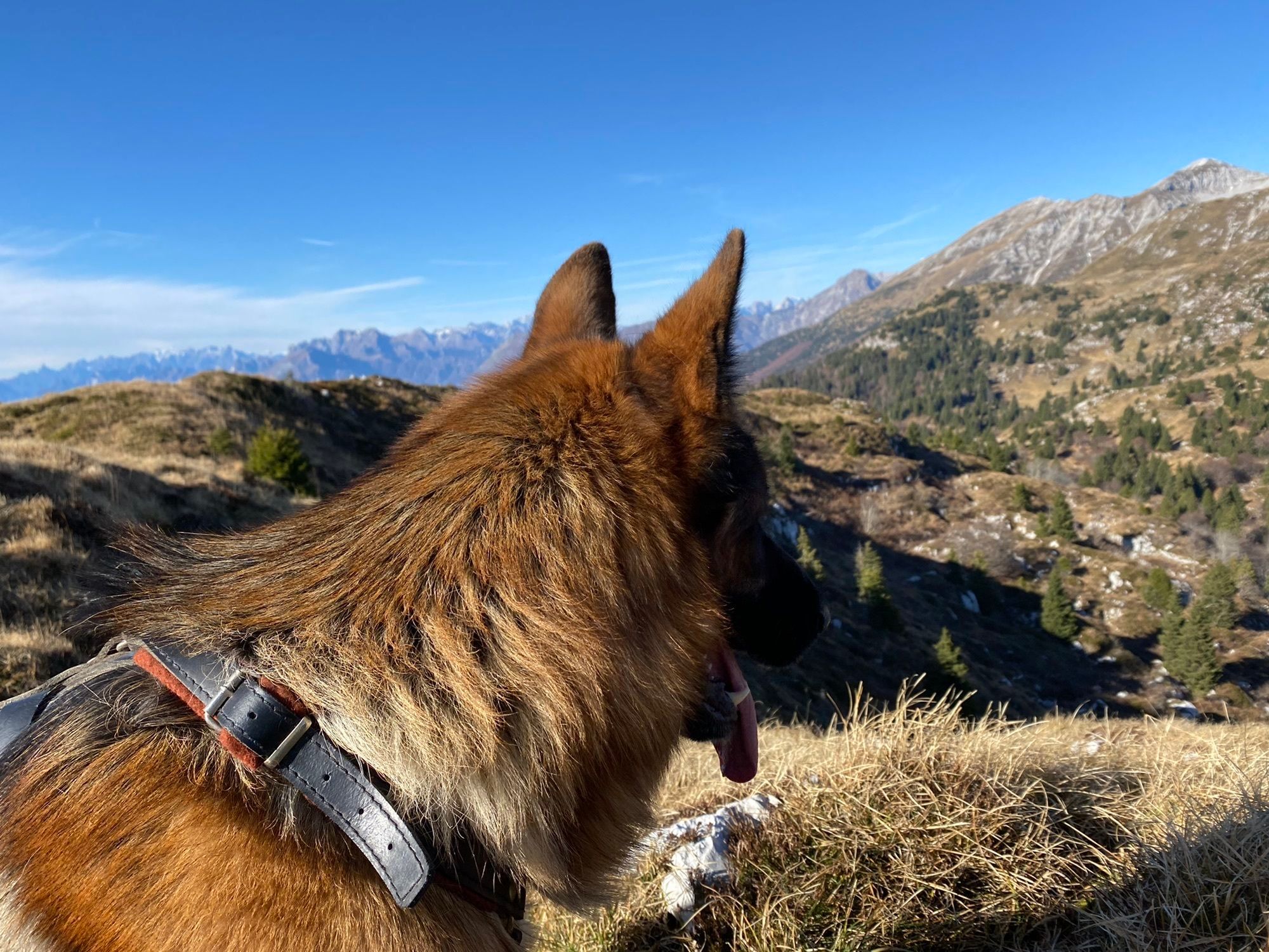
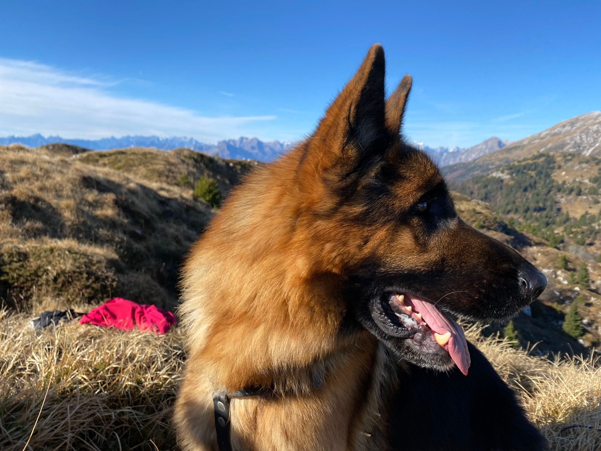
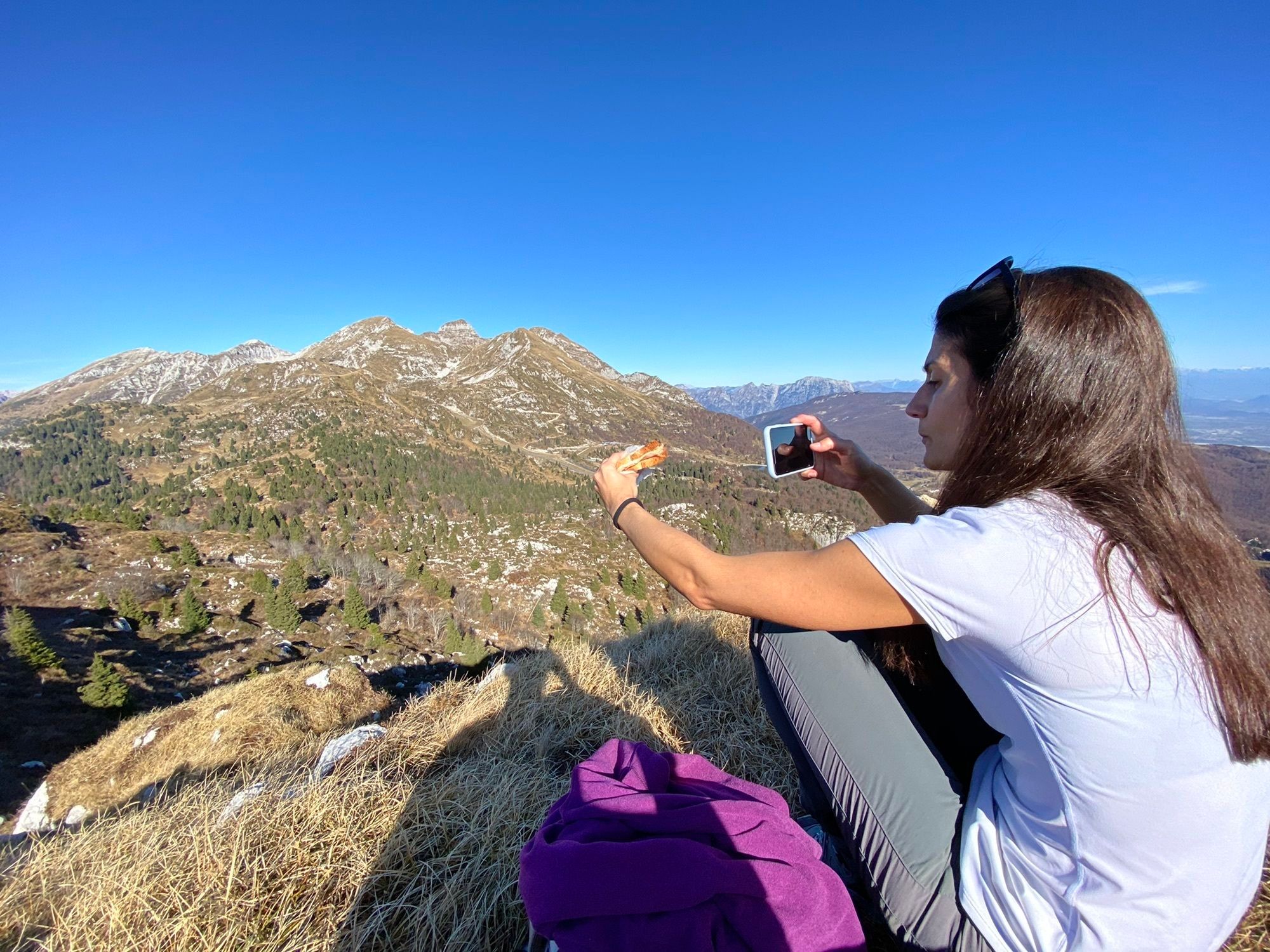
Medium-level loop hike starting from the Piancavallo Infopoint (via Collalto, 1).
Cross the square and reach the Church dedicated to Maria Ausiliatrice. Next to the Stone Heart, at the entrance to the...
Medium-level loop hike starting from the Piancavallo Infopoint (via Collalto, 1).
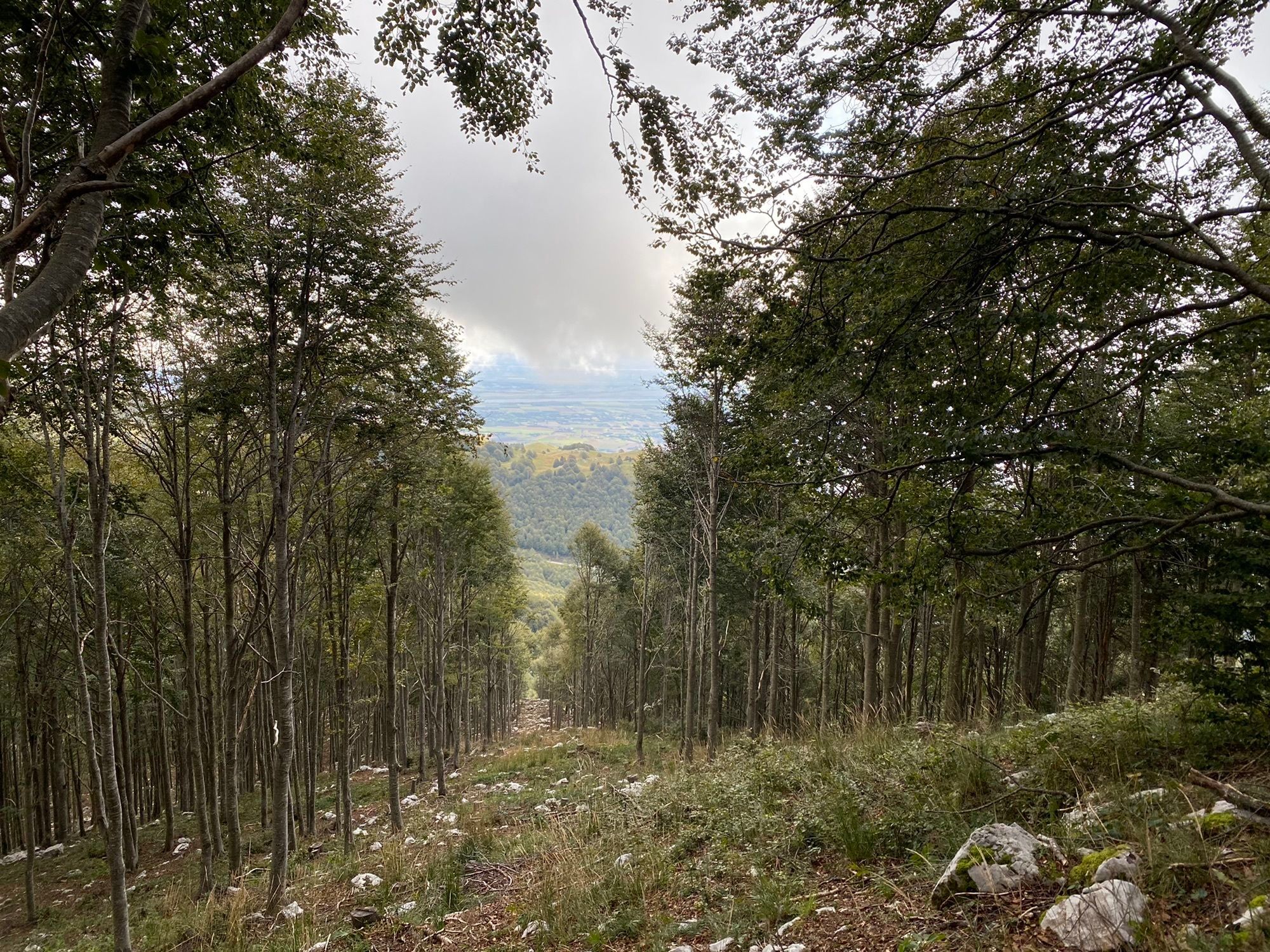
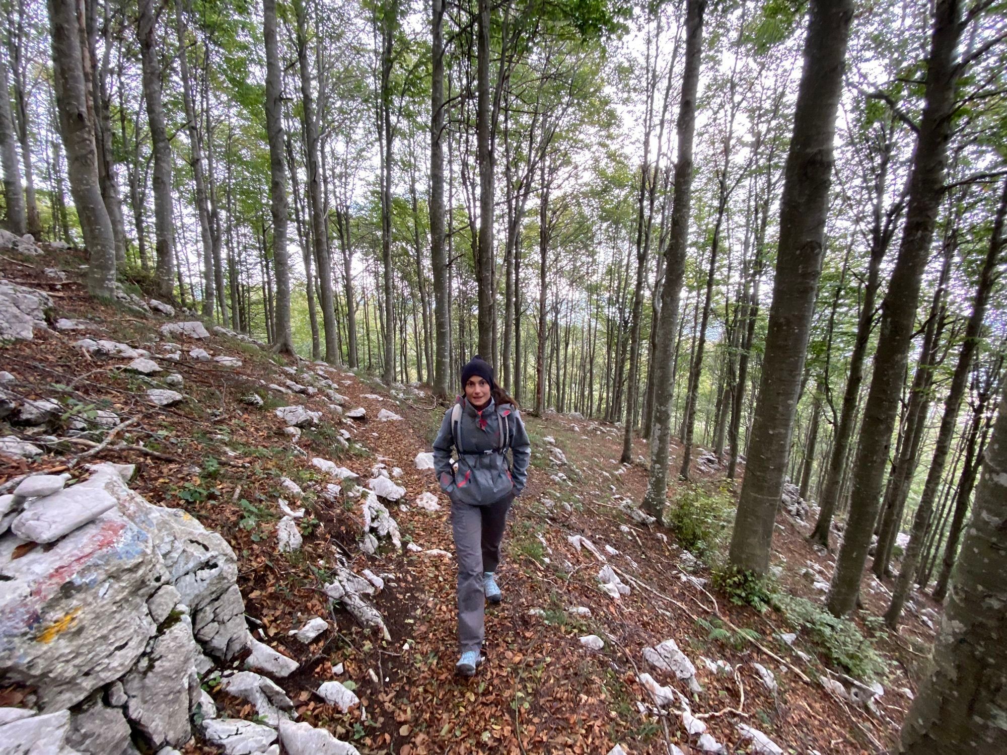
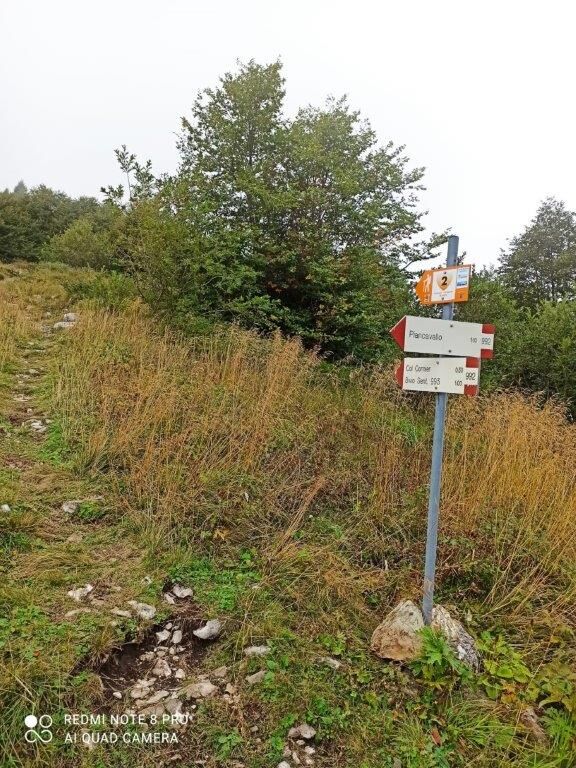
Cross the square and reach the Church dedicated to Maria Ausiliatrice. Next to the Stone Heart, at the entrance to the Botanical Trail, begins the Carbonaie route (CAI trail 992). The path rises steeply and leaves the ski slope bordering Monte Sauc to the right. Continue with short ups and downs through the beech forest, where you can observe on either side of the trail the signs of the old charcoal pits.
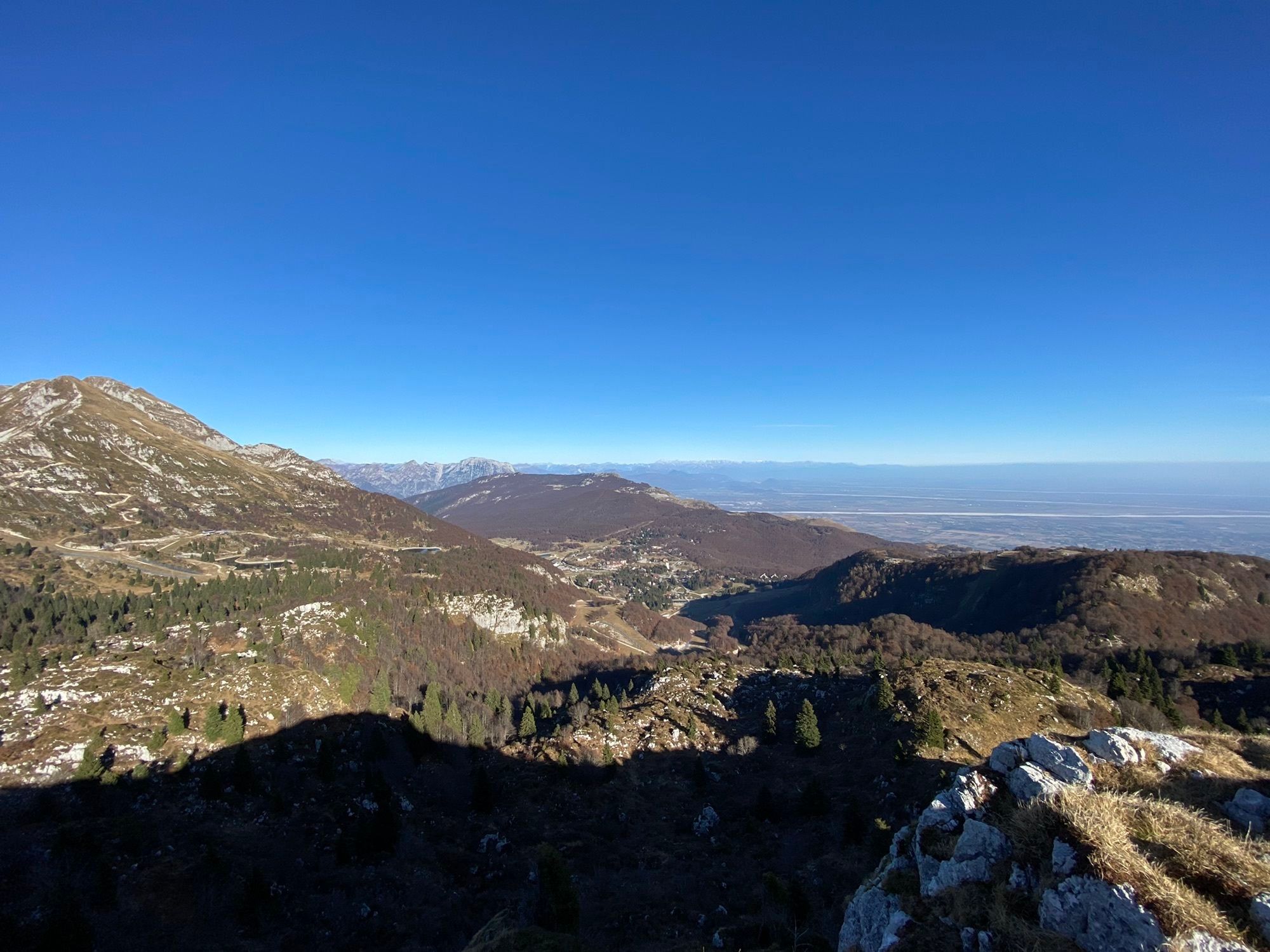
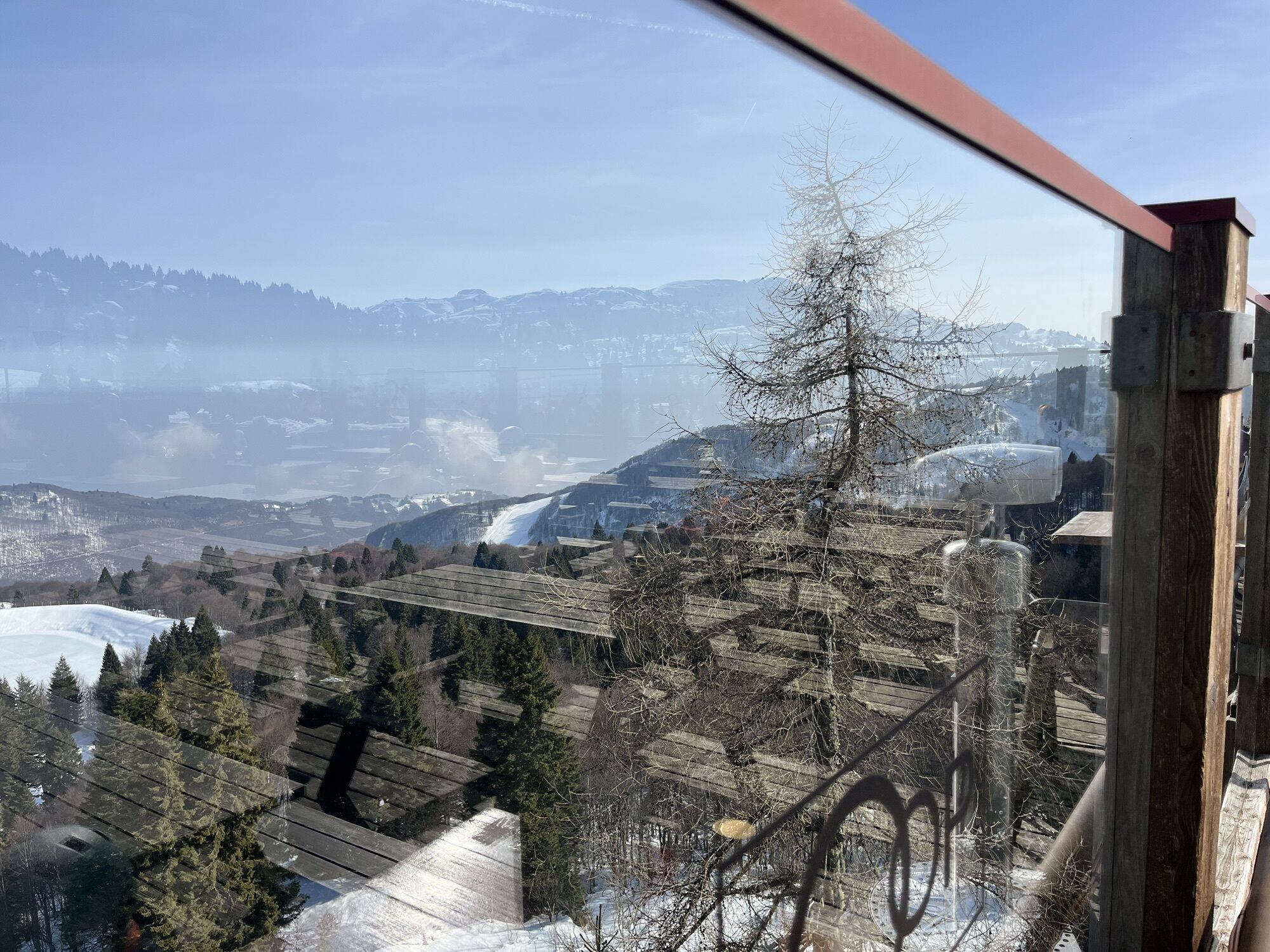
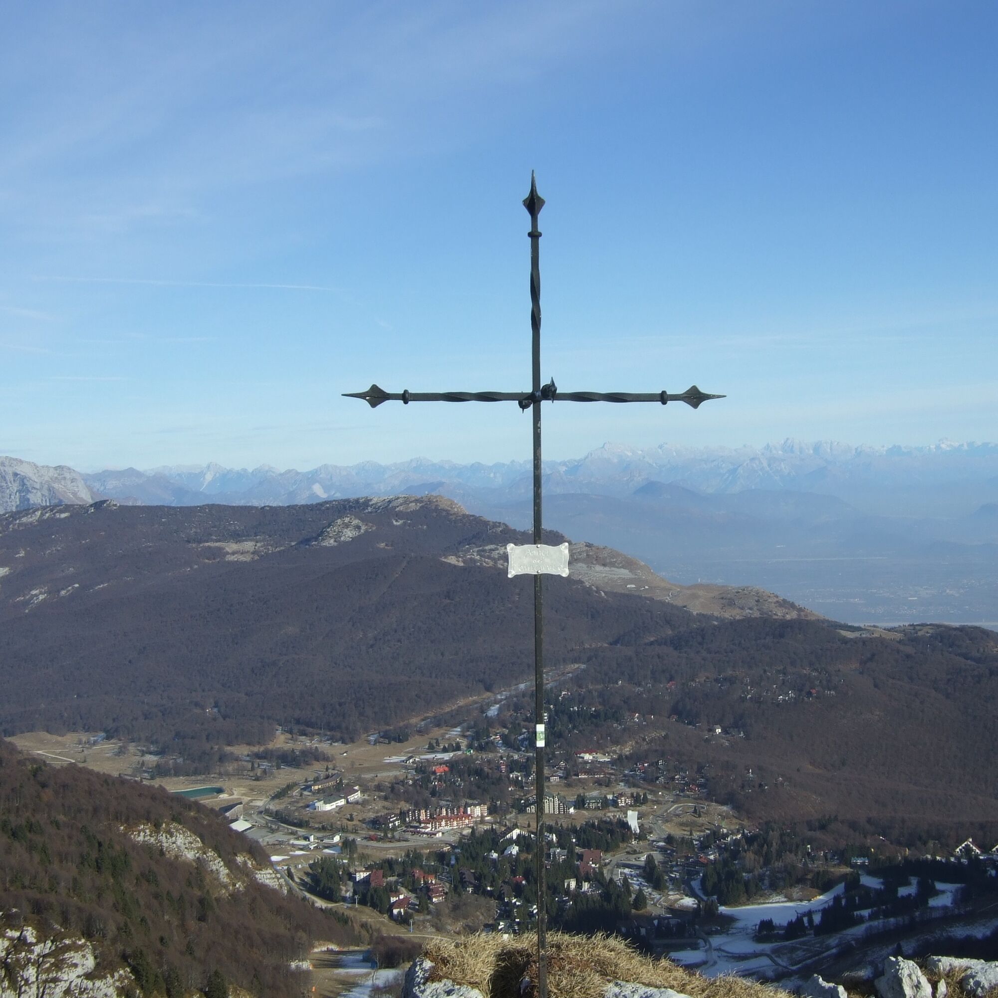
At the crossing, follow the CAI 992 trail marker. Once out of the forest, the view opens onto the Venetian plain. On clear days, it is possible to distinguish the wonderful Venice, the Euganean Hills, and their surroundings as far as the eye can see. Still climbing, you reach the Forcella del Sauc. The trail continues along the ridge, but never exposed. The views over the Venetian and Friulian plains accompany the hiker to the summit of Monte Cornier. Continue along the CAI 992 trail, which intersects CAI 993 at a fork.
Keep right and soon reach Baita Arneri. Descend along the path below the chairlift that borders the downhill track until you reach Casera Capovilla. Then continue along Via Barcis to return to Piazzale della Puppa in Piancavallo.

Continue towards the Maria Ausiliatrice Church and enter the Botanical Trail Le Carbonaie.
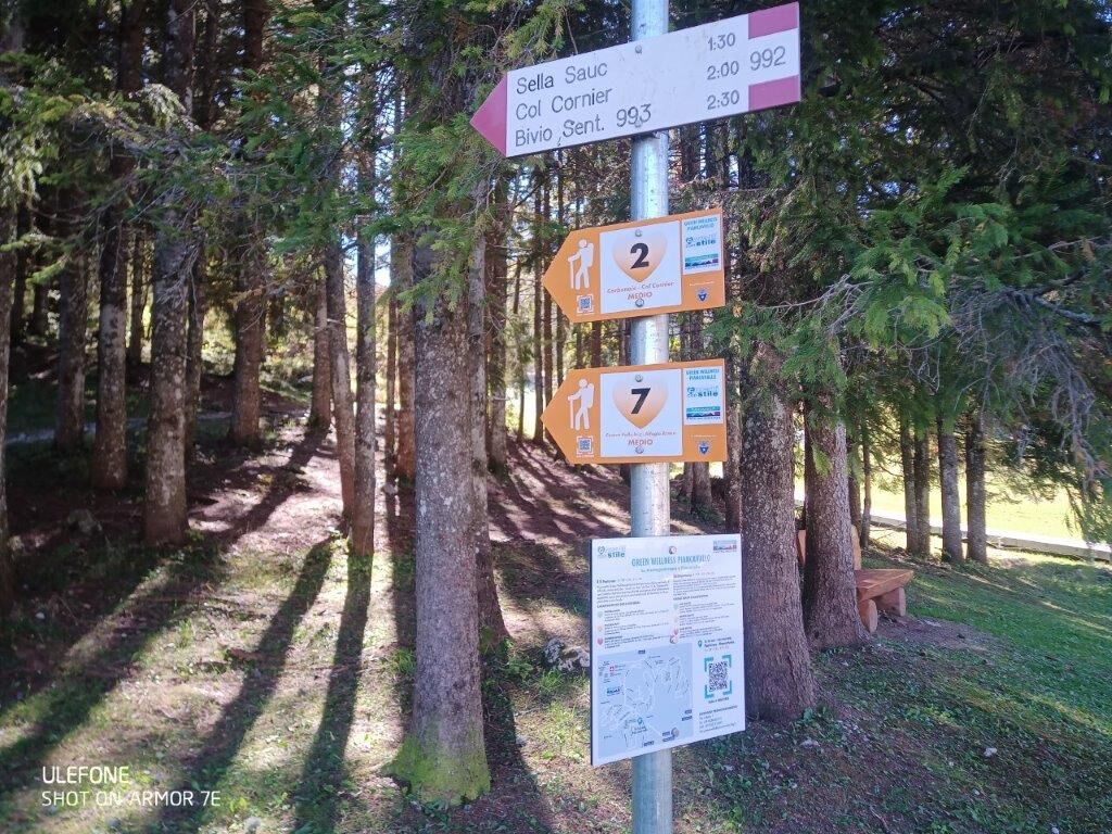
Follow the indications of the white-red CAI trail markers and trail 992.
Áno
Standard hiking equipment.
It is recommended to bring adequate water supplies due to the absence of natural springs along the route.
Not to be missed are the Carbonaie - flat areas of land as evidence of the hard work of the charcoal burners, workers who operated along these mountains until the 1950s. The technique of transforming wood into charcoal was an important source of income for the inhabitants of the Friulian foothills.
Possibility to purchase the Greenwellness Piancavallo guide at the Piancavallo infopoint
Webové kamery z prehliadky
Získajte prehľad
Vždy naživo na mieste s viac ako 9 500 webovými kamerami. bergfex Ako používateľ Pro si teraz môžete pozrieť príslušné webové kamery pre mnohé zájazdy v aplikácii zájazdy z. Môžete si tak priamo prezerať aktuálne podmienky.

Obľúbené výlety v okolí
-
4,3
Dint Trail
strednáTuristika 4,34 km -
4,0
Palantina, Colombera, and Tremol - 3 peaks above Piancavallo
ťažkéTuristika 8,70 km -
4,7
RING OF LAKE BARCIS
svetloTuristika 5,64 km -
3,5
Pala d'Altei da Grizzo
svetloTuristika 11,5 km -
5,0
Výstup na Giro d'Italia Aviano - Piancavallo (P002)
ťažkéCestný bicykel 13,9 km -
Malghe di Collalto loop
strednáTuristika 8,67 km -
4,0
Loop along the Gerometta Path and Col Cornier
strednáTuristika 10,4 km -
Circular route of Casera Valle Friz and Arneri Refuge among karst dolines and splendid blossoms
strednáTuristika 11,7 km -
4,0
Belluno - Cima Lastè - Rifugio Carlo e Massimo Semenza - Tambre
ťažkéTuristika 11,9 km -
4,0
Policreti Path
strednáTuristika 7,33 km
Turistika a stopovanie


Nenechajte si ujsť ponuky a inšpiráciu na ďalšiu dovolenku
Vaša e-mailová adresa bol pridaný do poštového zoznamu.





