







TREKKING FROM CIMOLAIS TO FORNI DI SOPRA
Úroveň náročnosti: T3
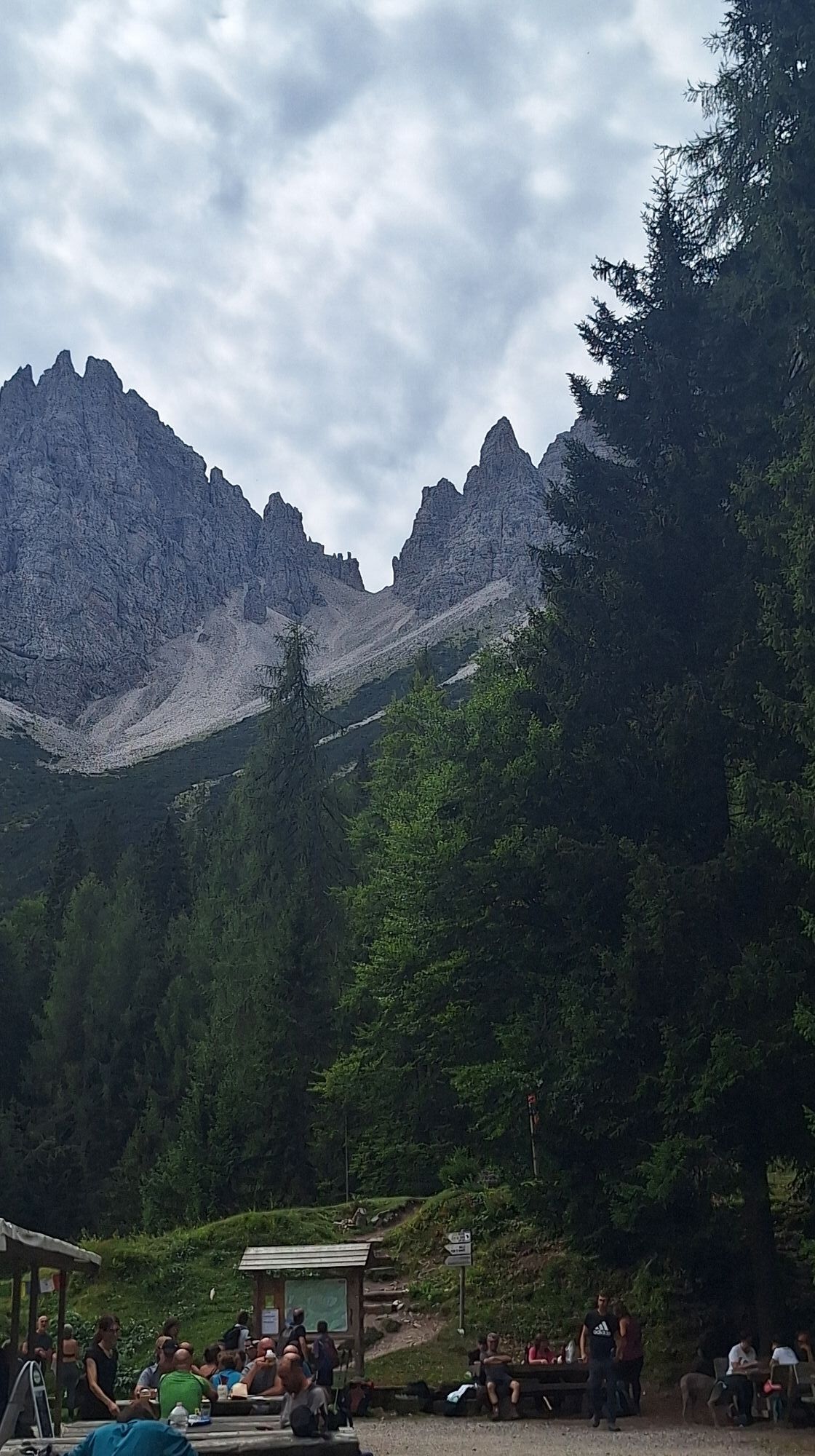
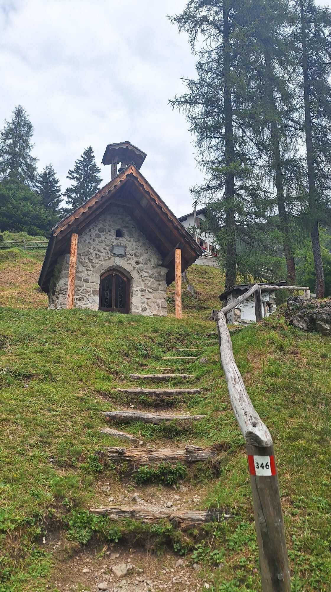
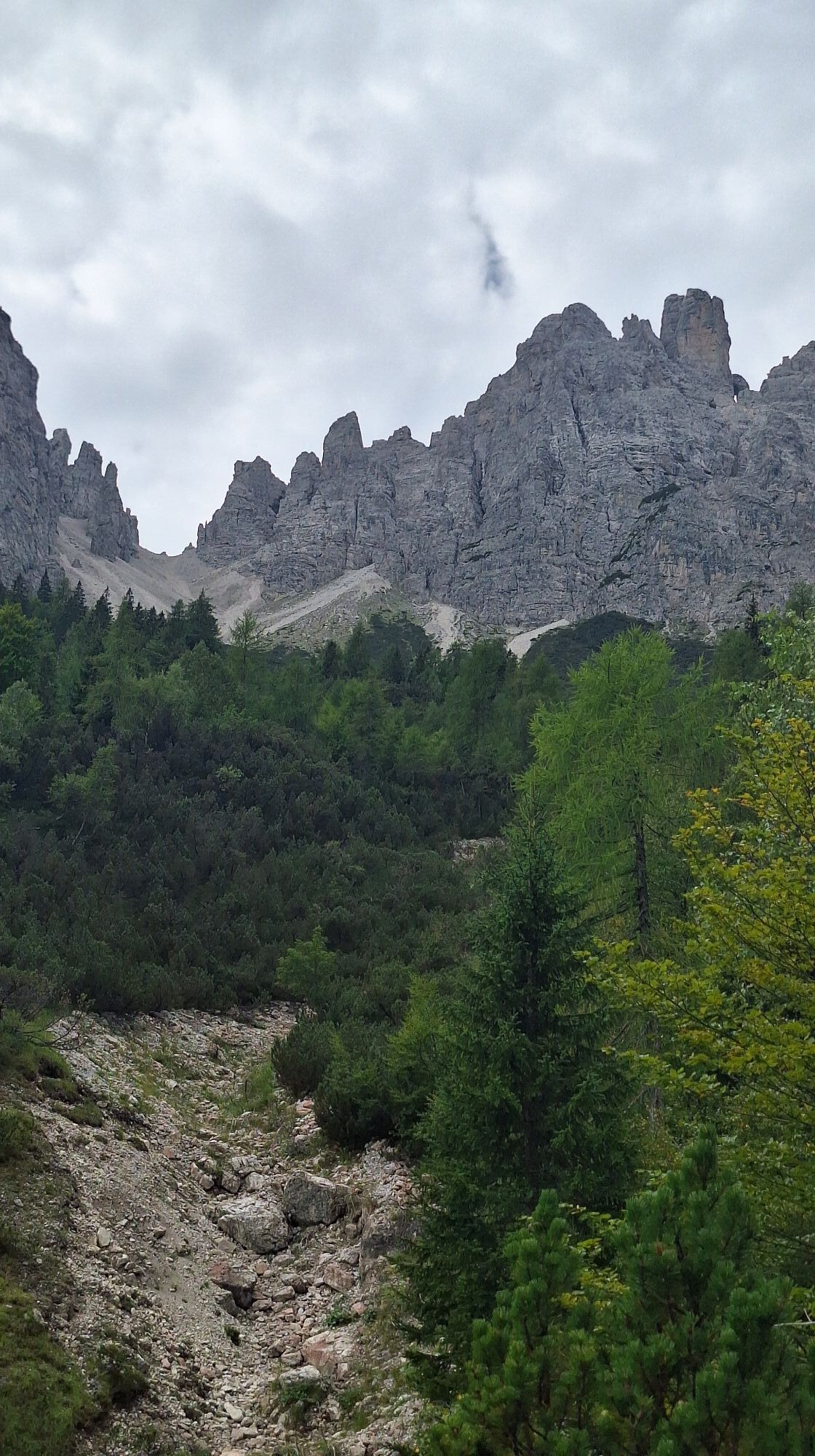
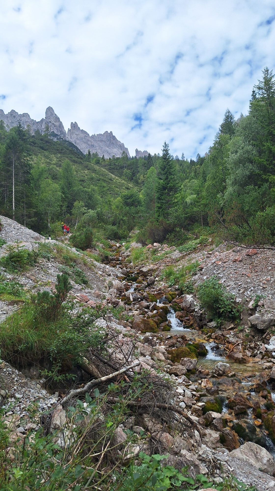

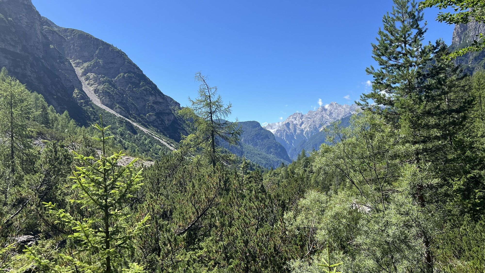
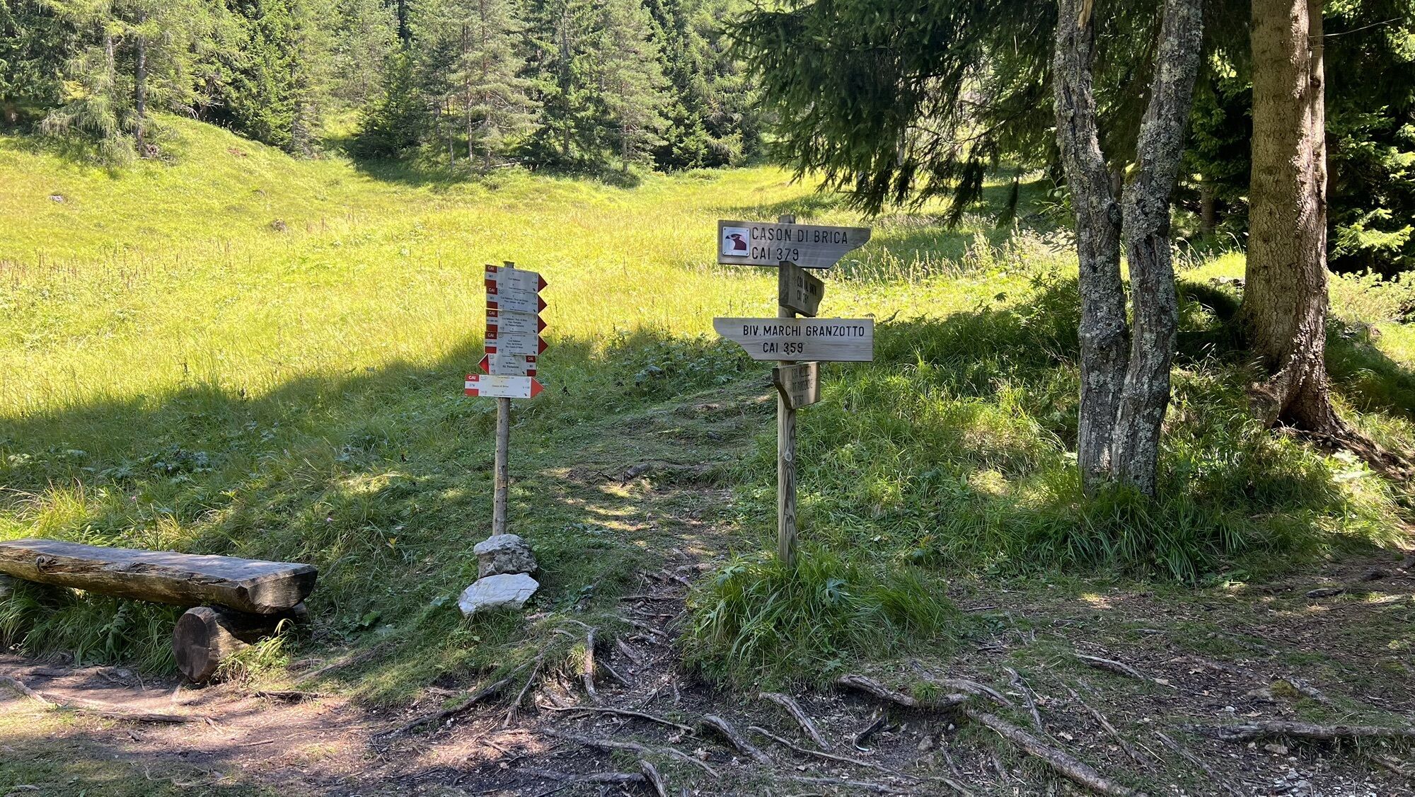
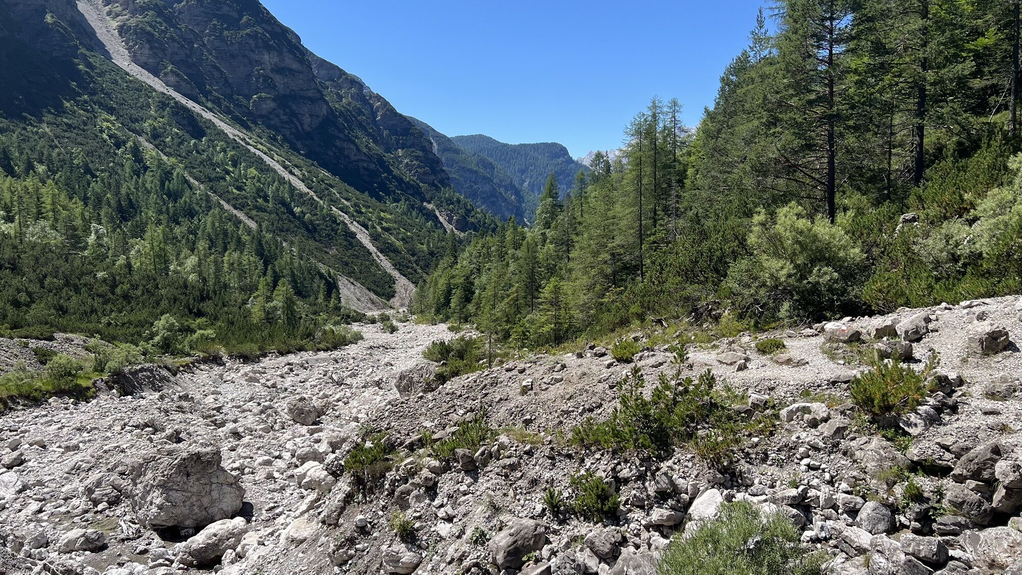
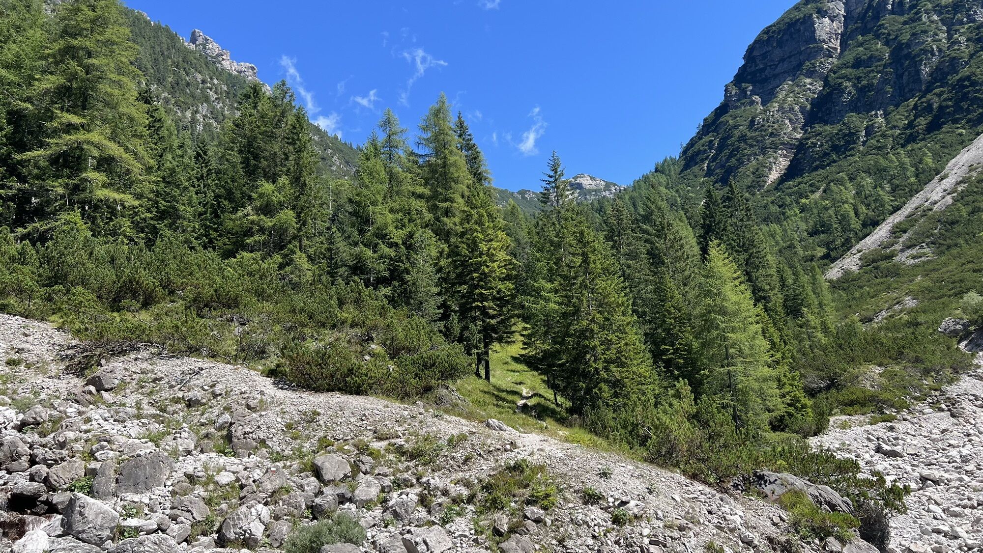
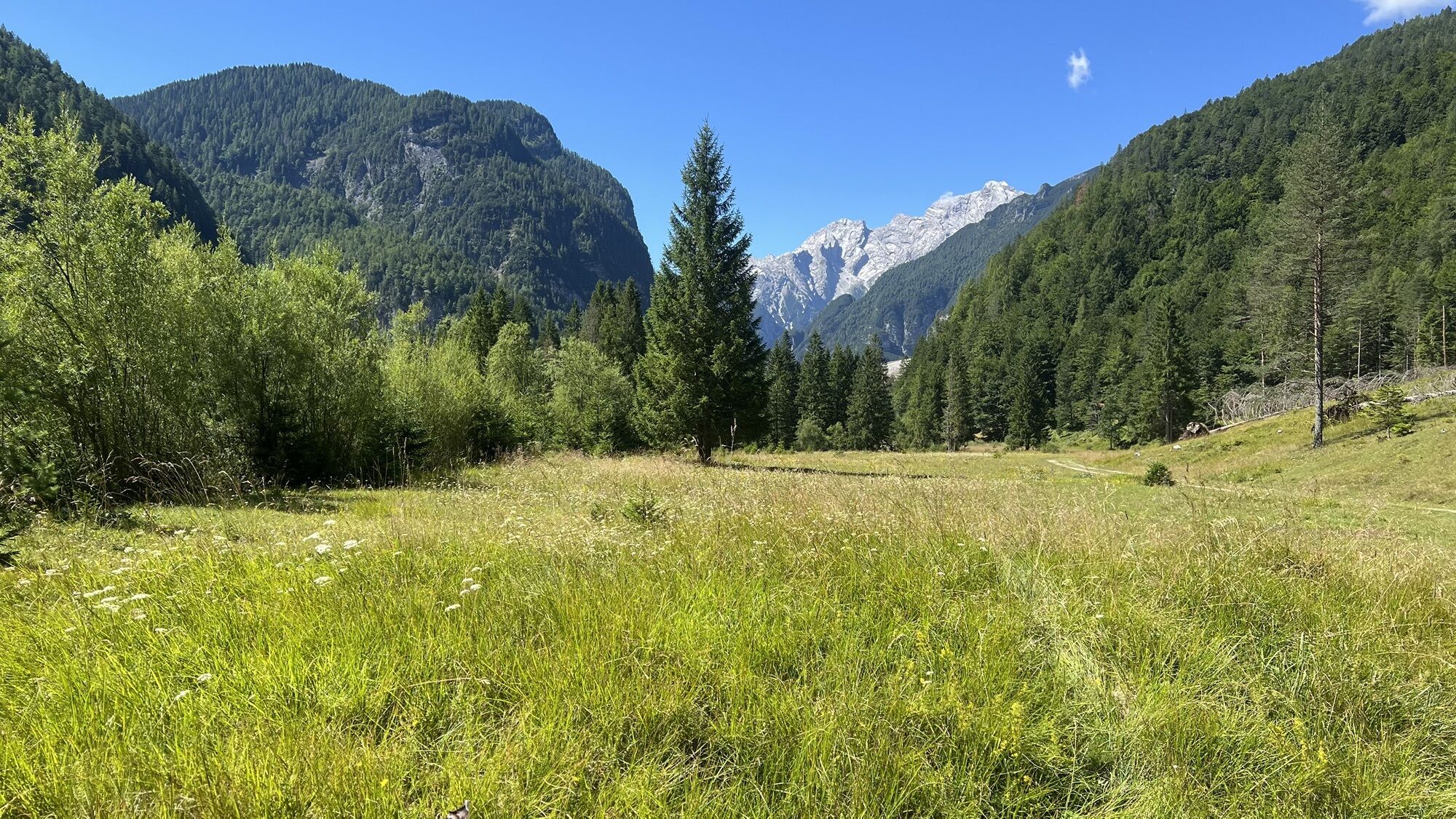
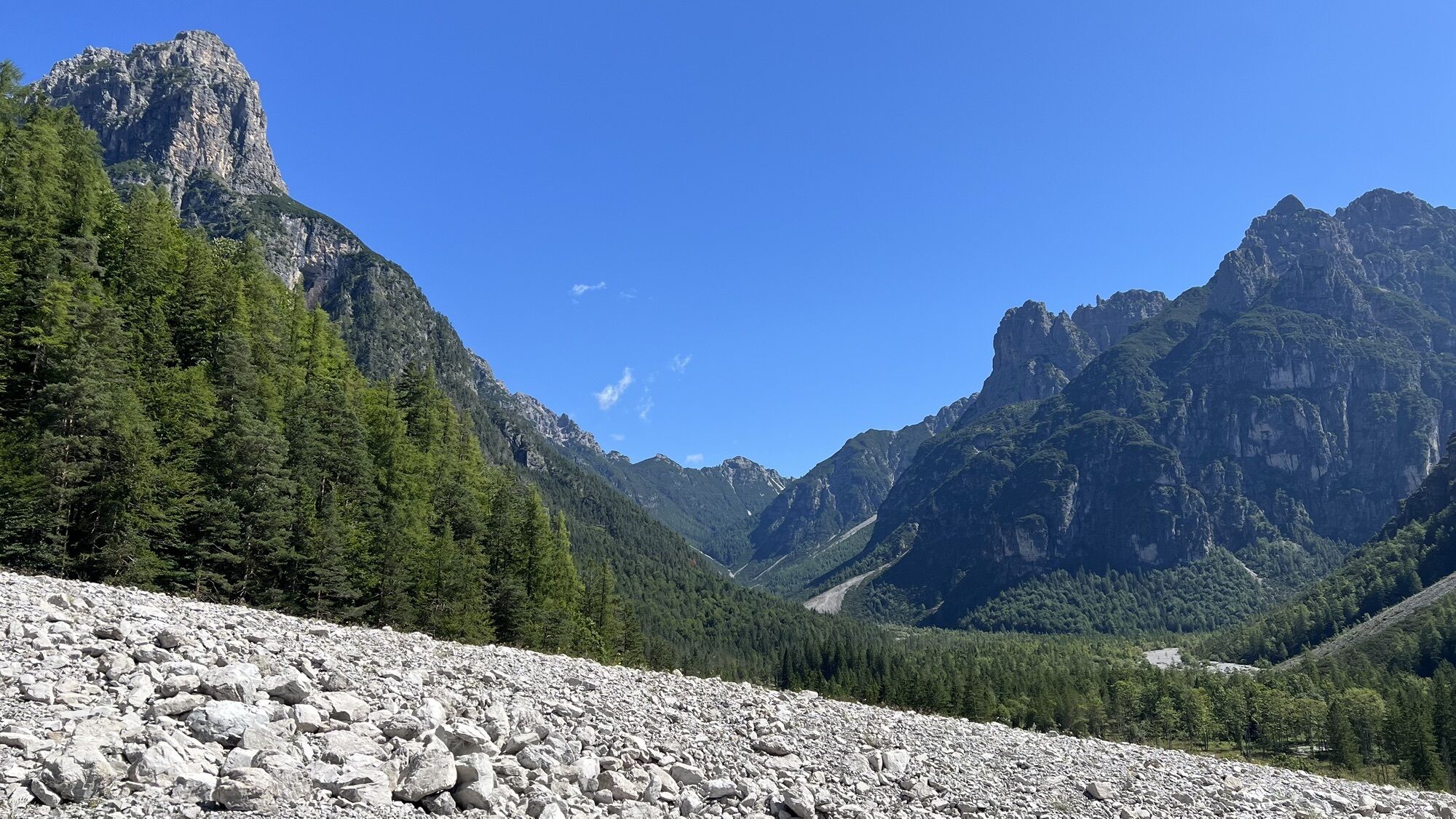
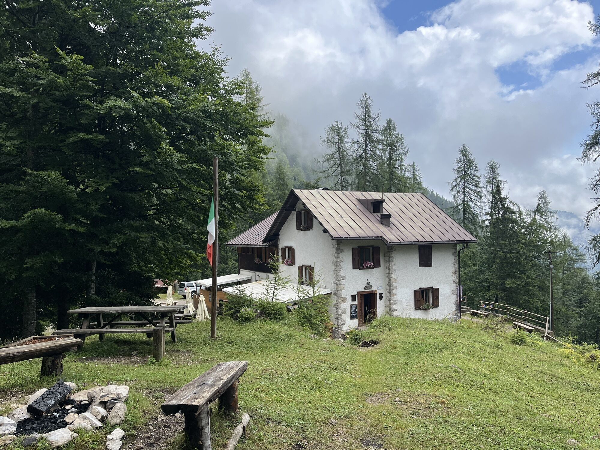
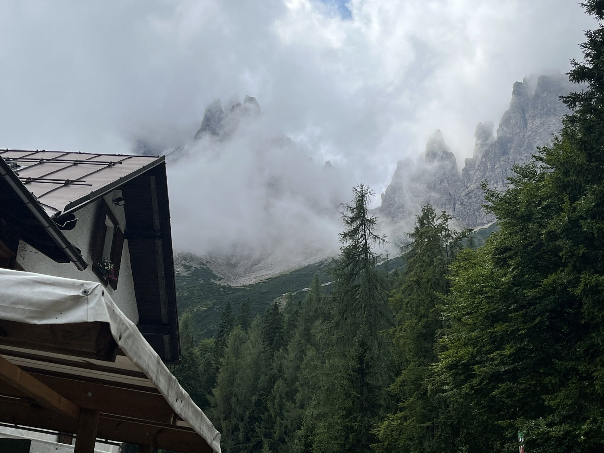

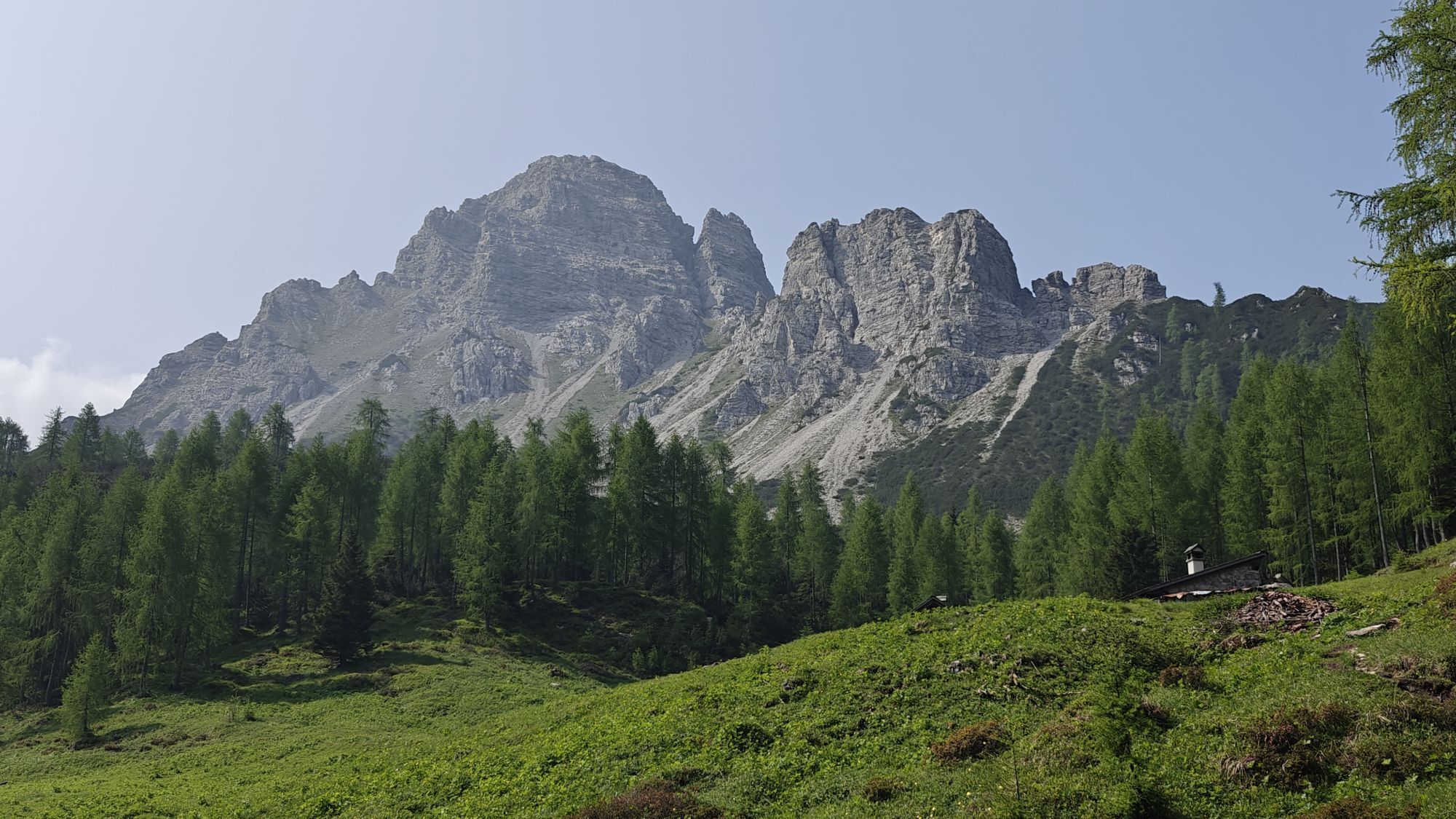
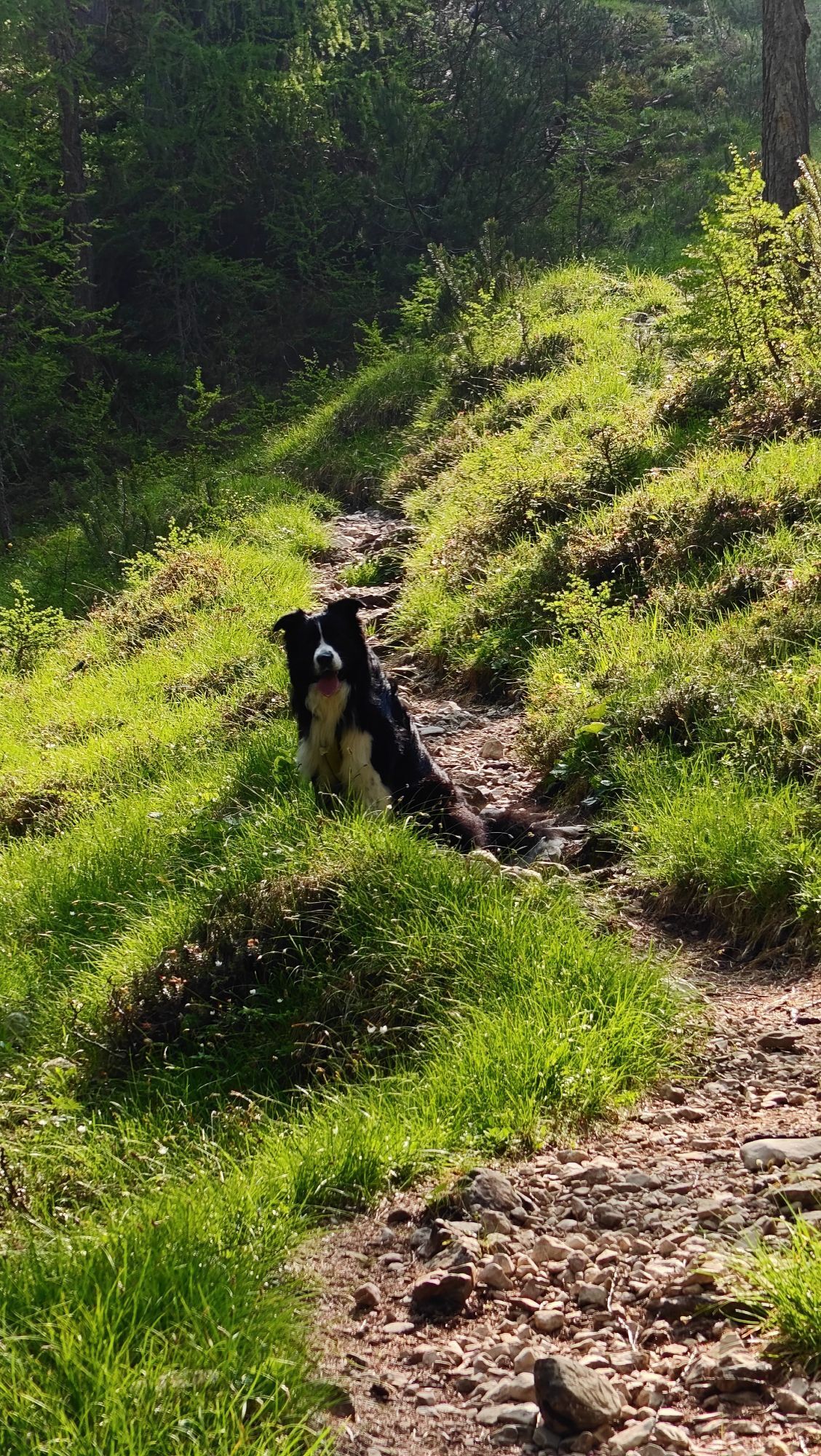
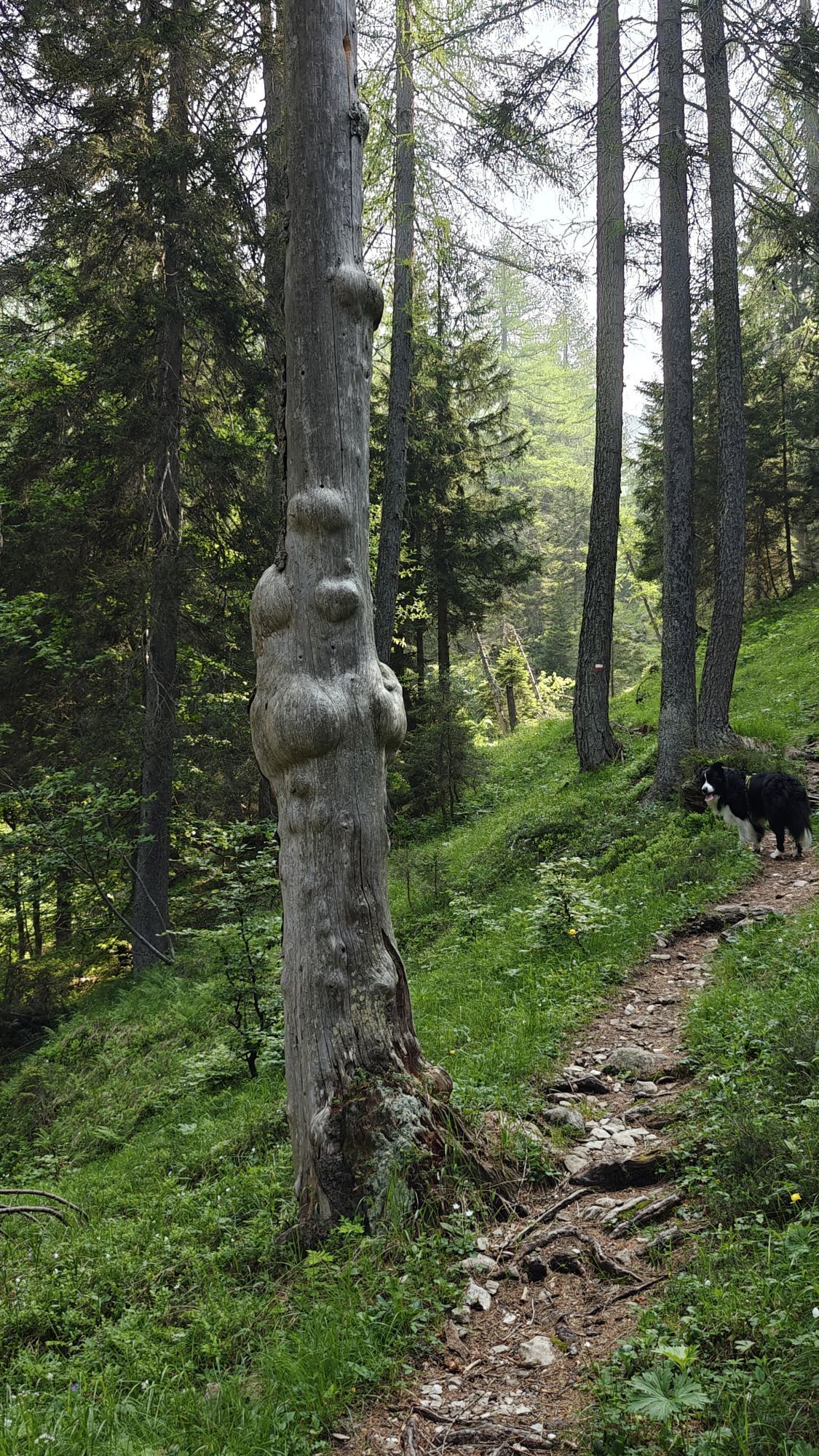
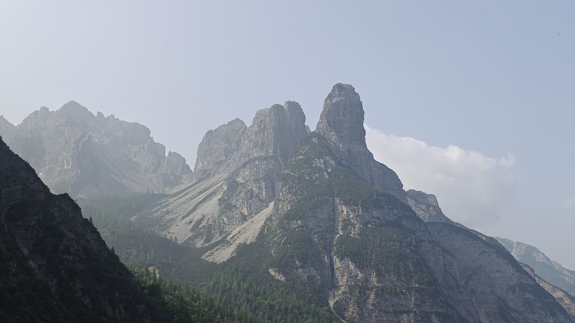
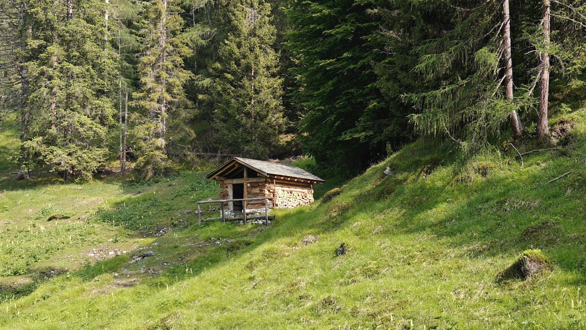
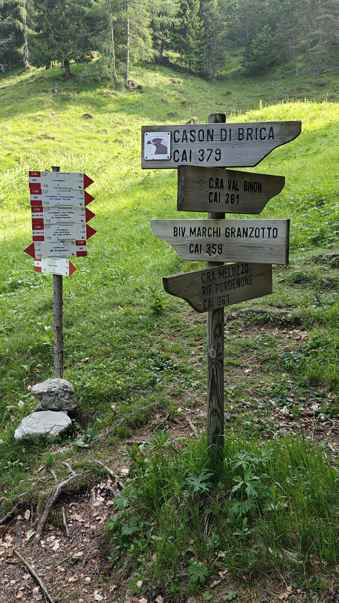
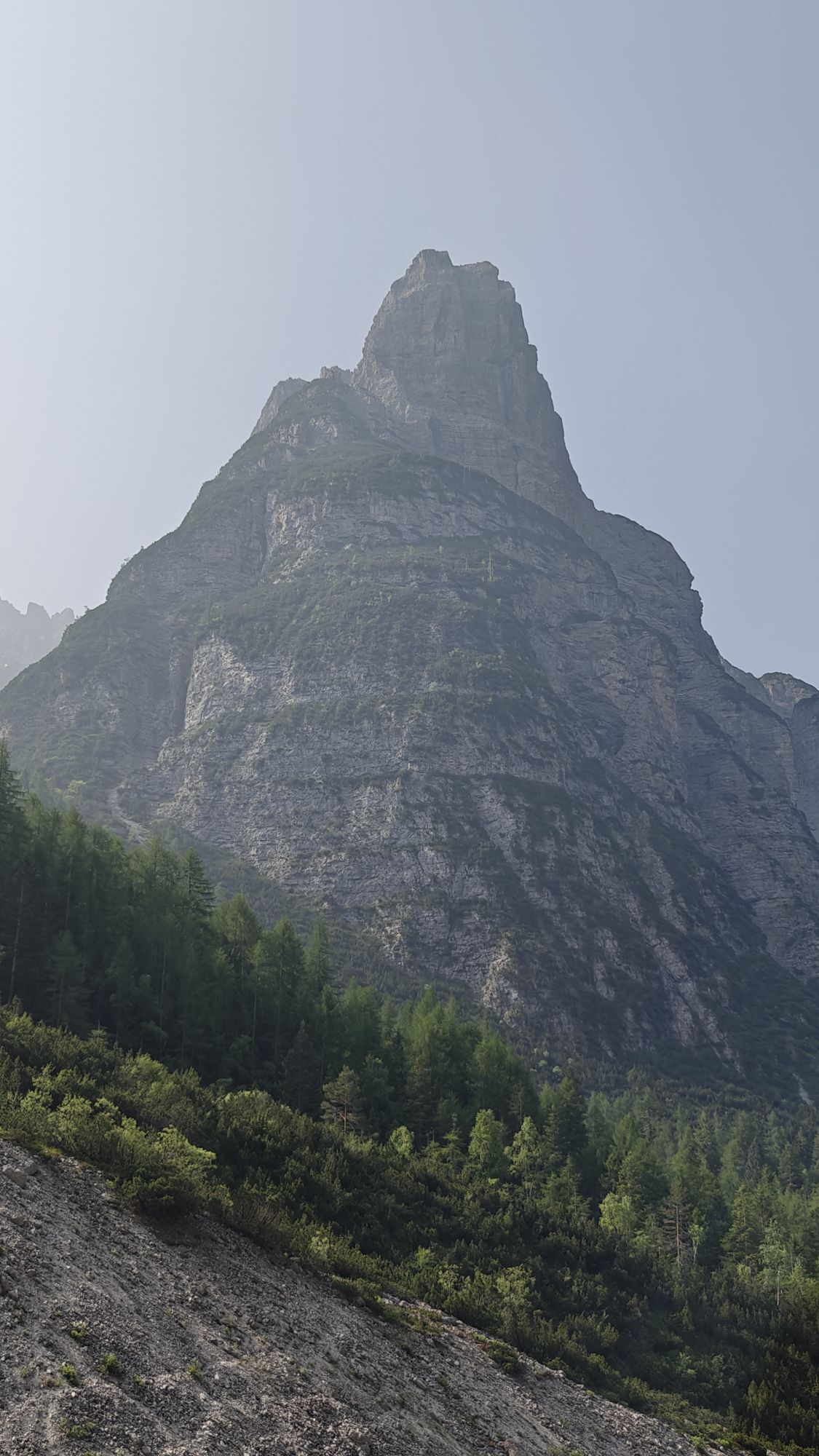
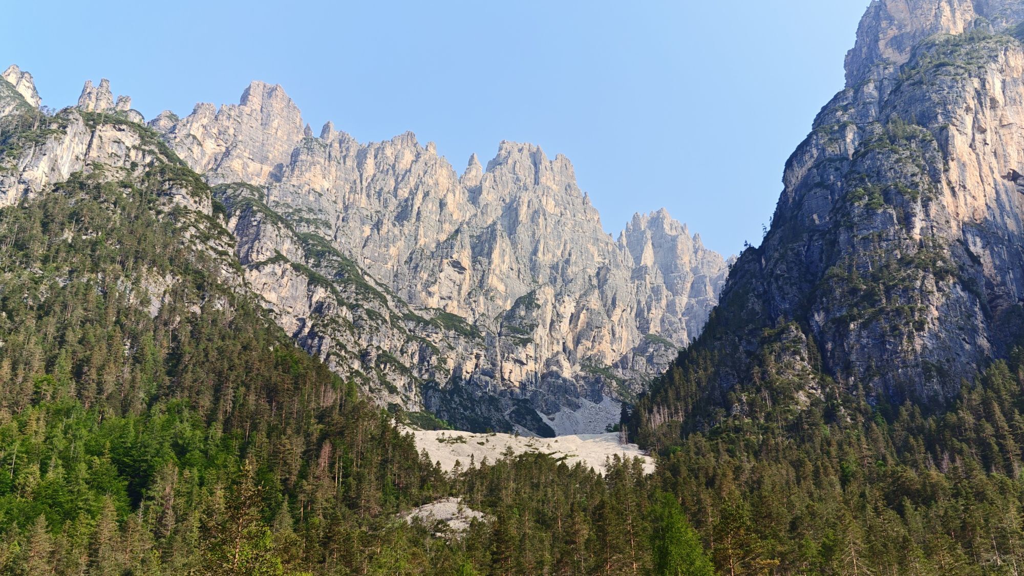
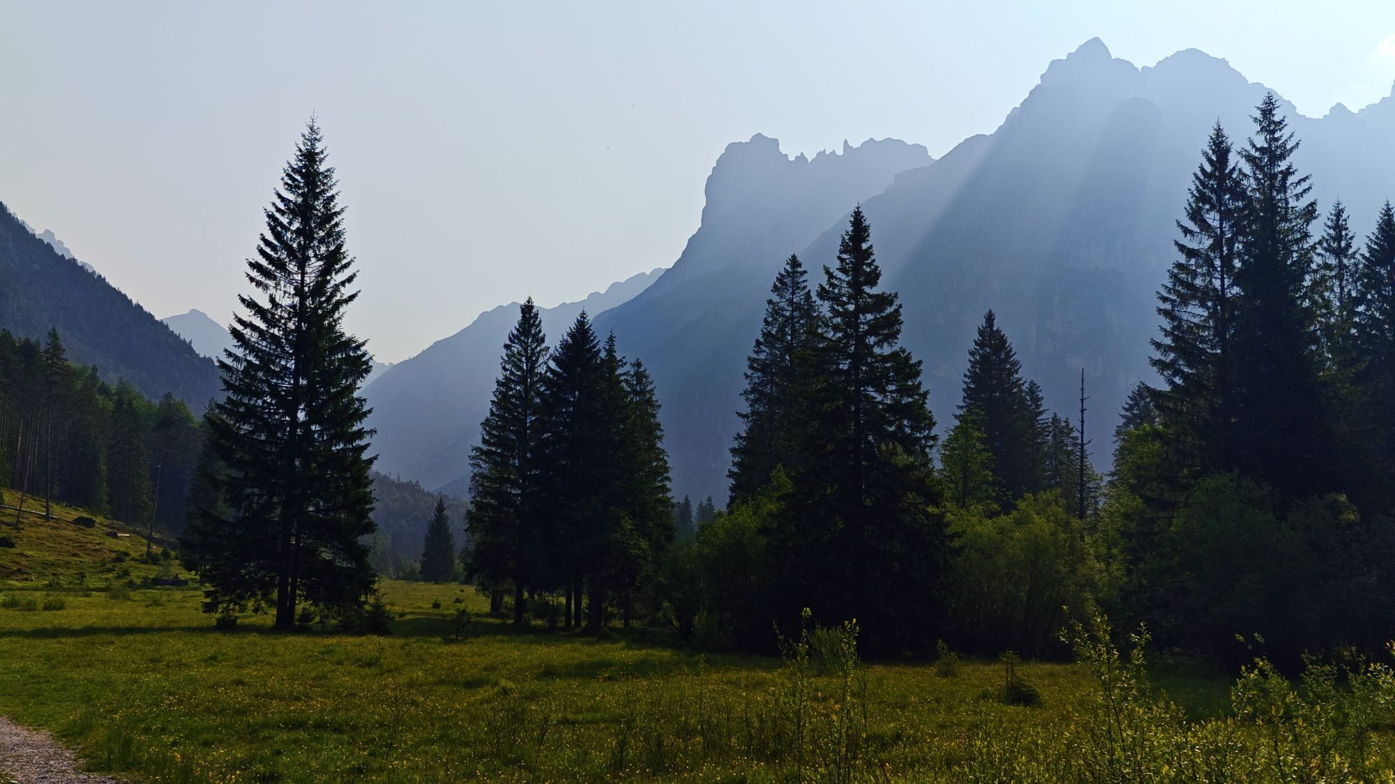
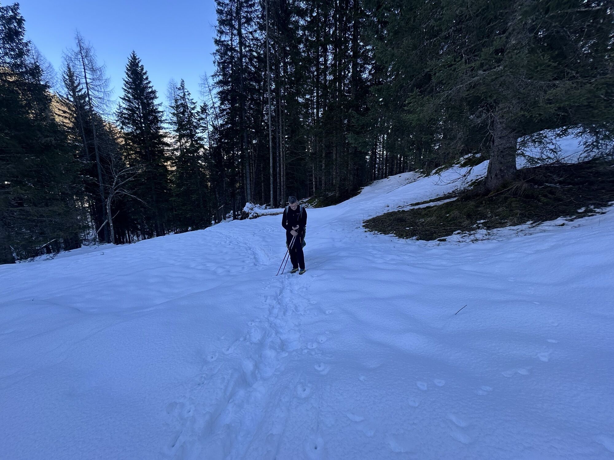
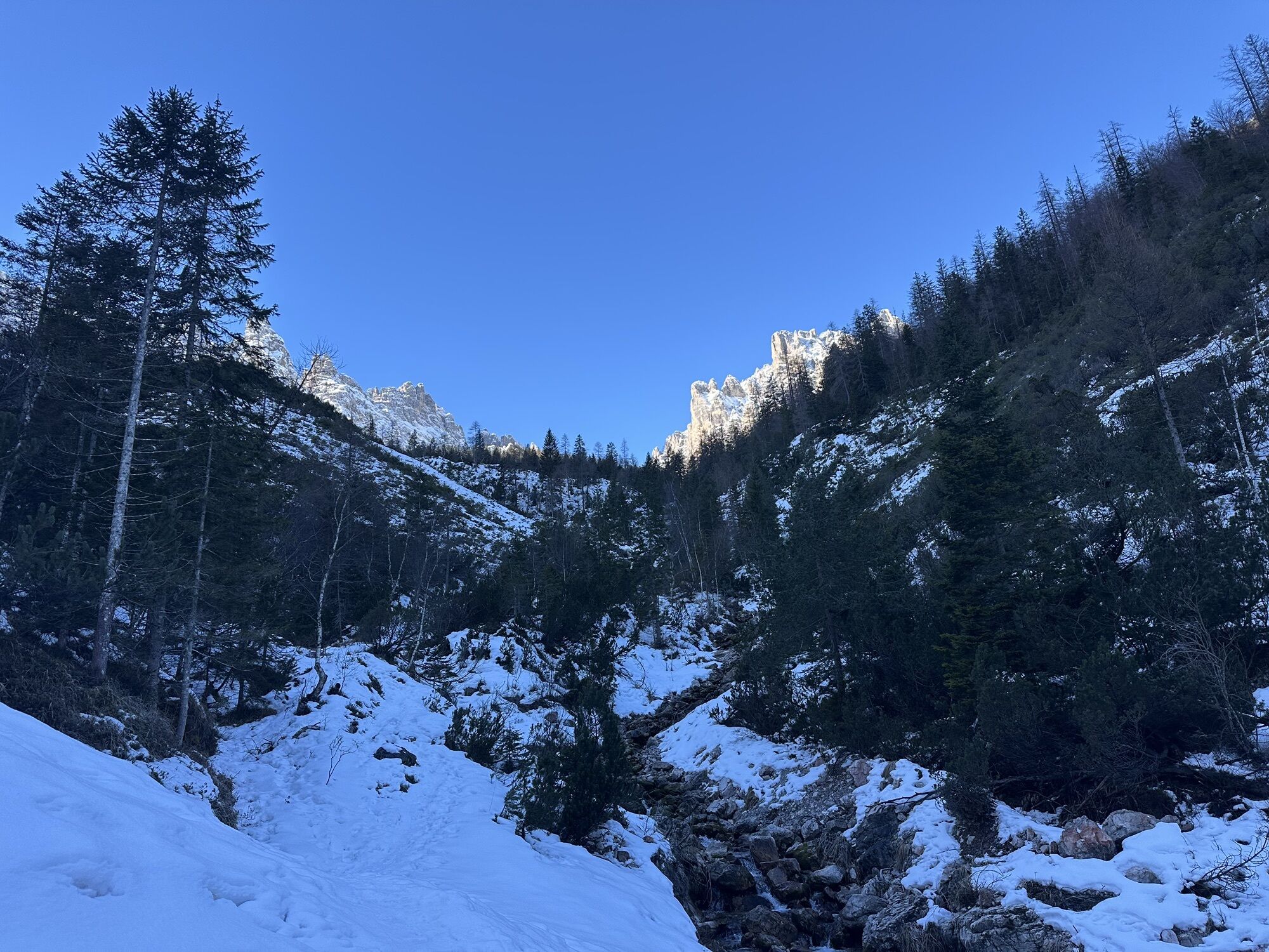
The hiking route starts in upper Cimoliana valley (Pian Meluzzo, near Rifugio Pordenone), reachable from Cimolais following the road of Val Cimoliana (13 km, paved and dirt road). From here it continues...
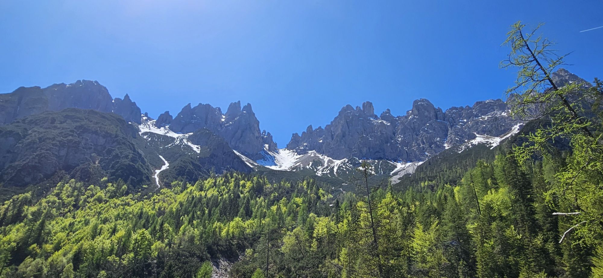
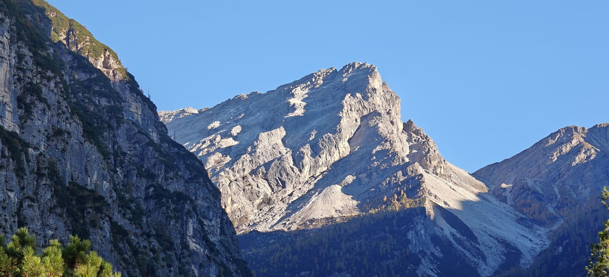
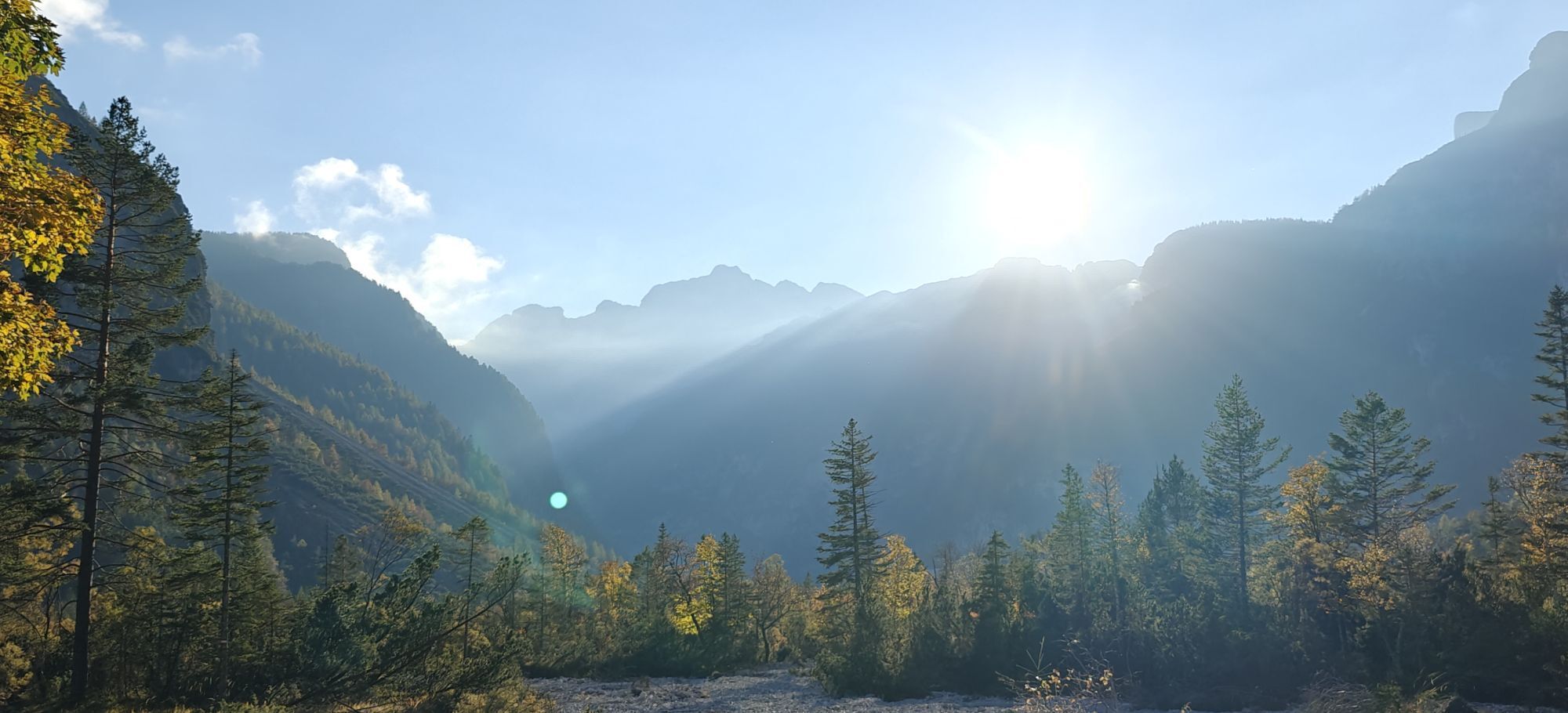
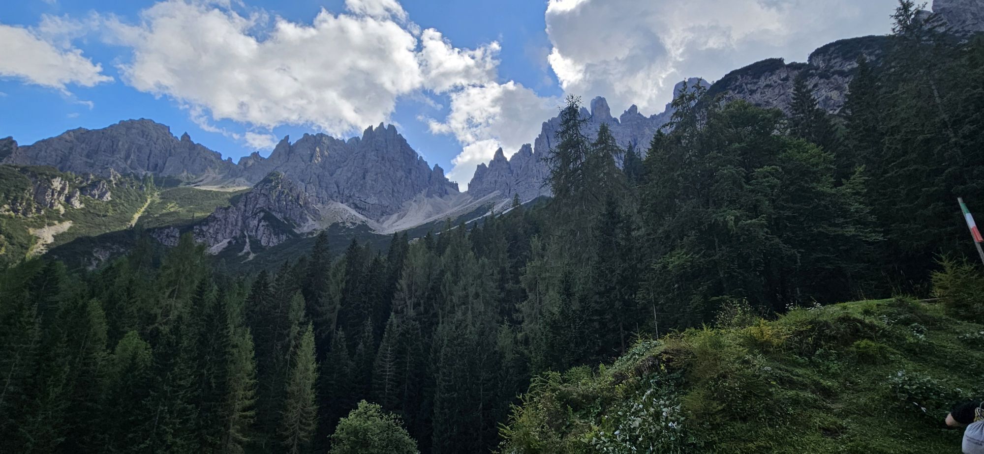
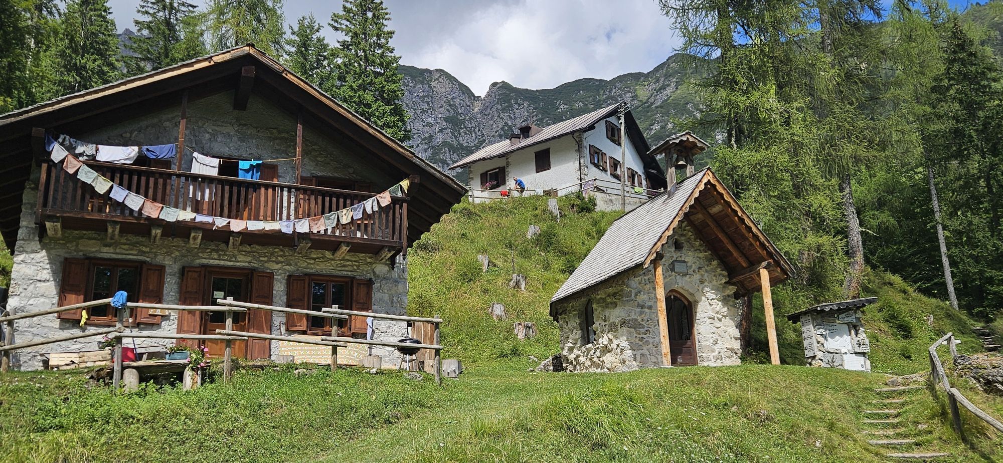
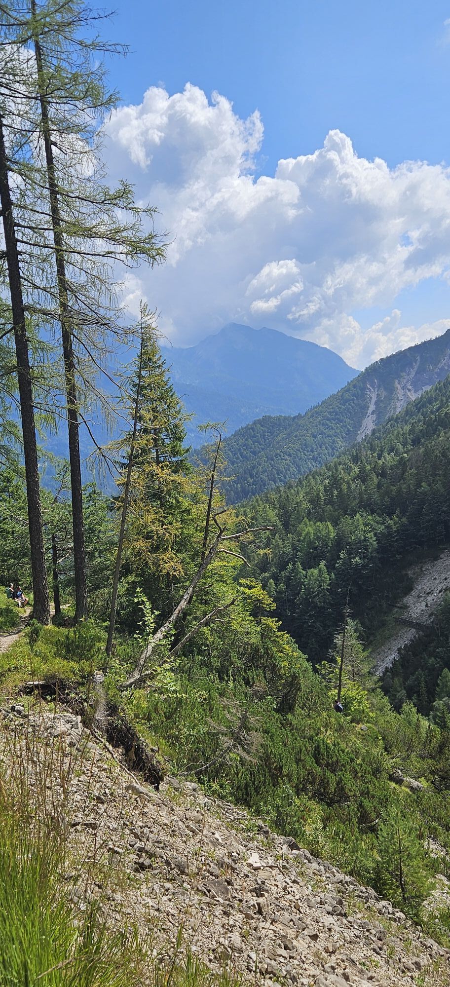
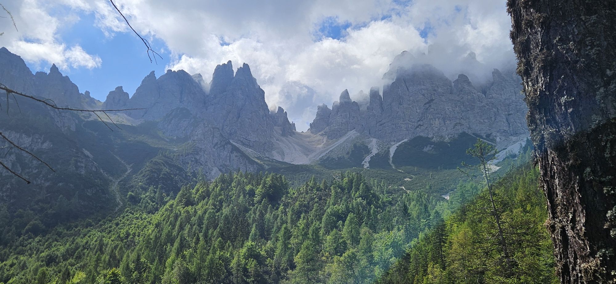
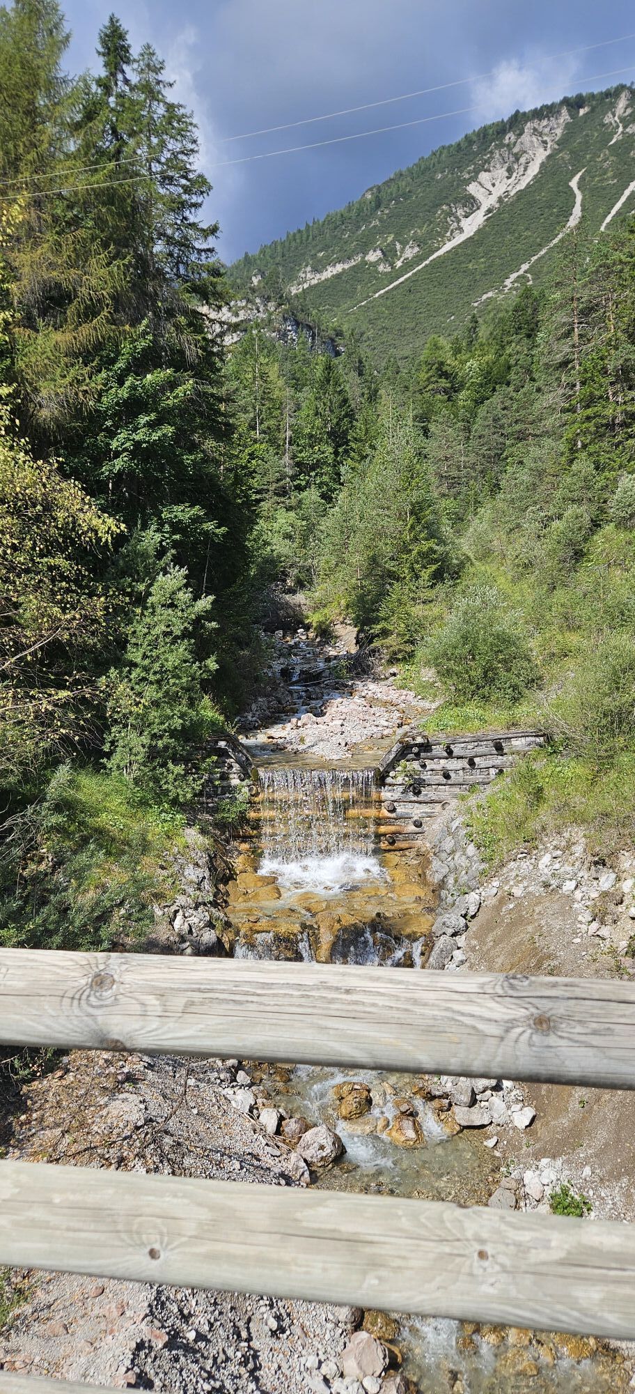
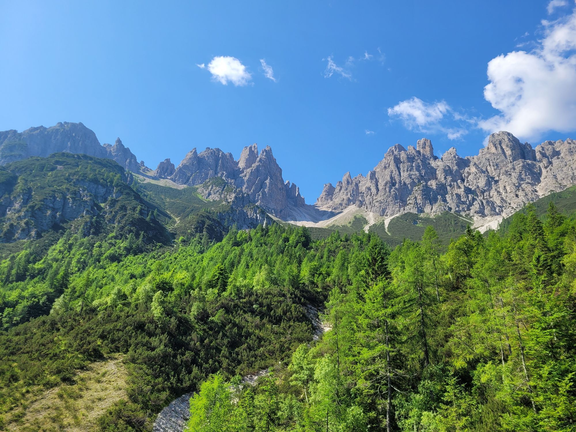
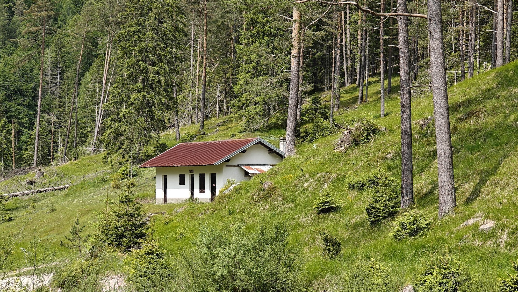
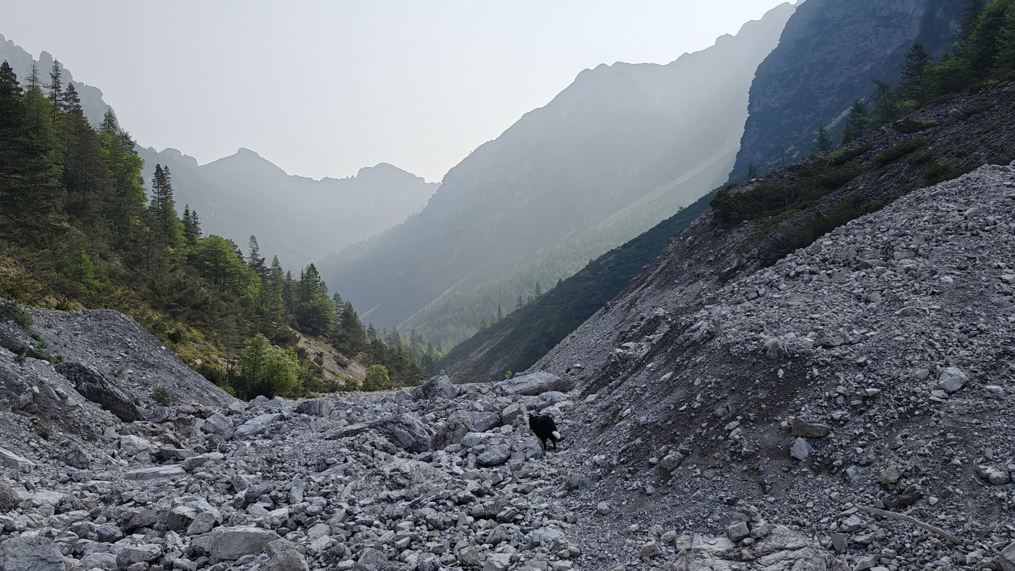
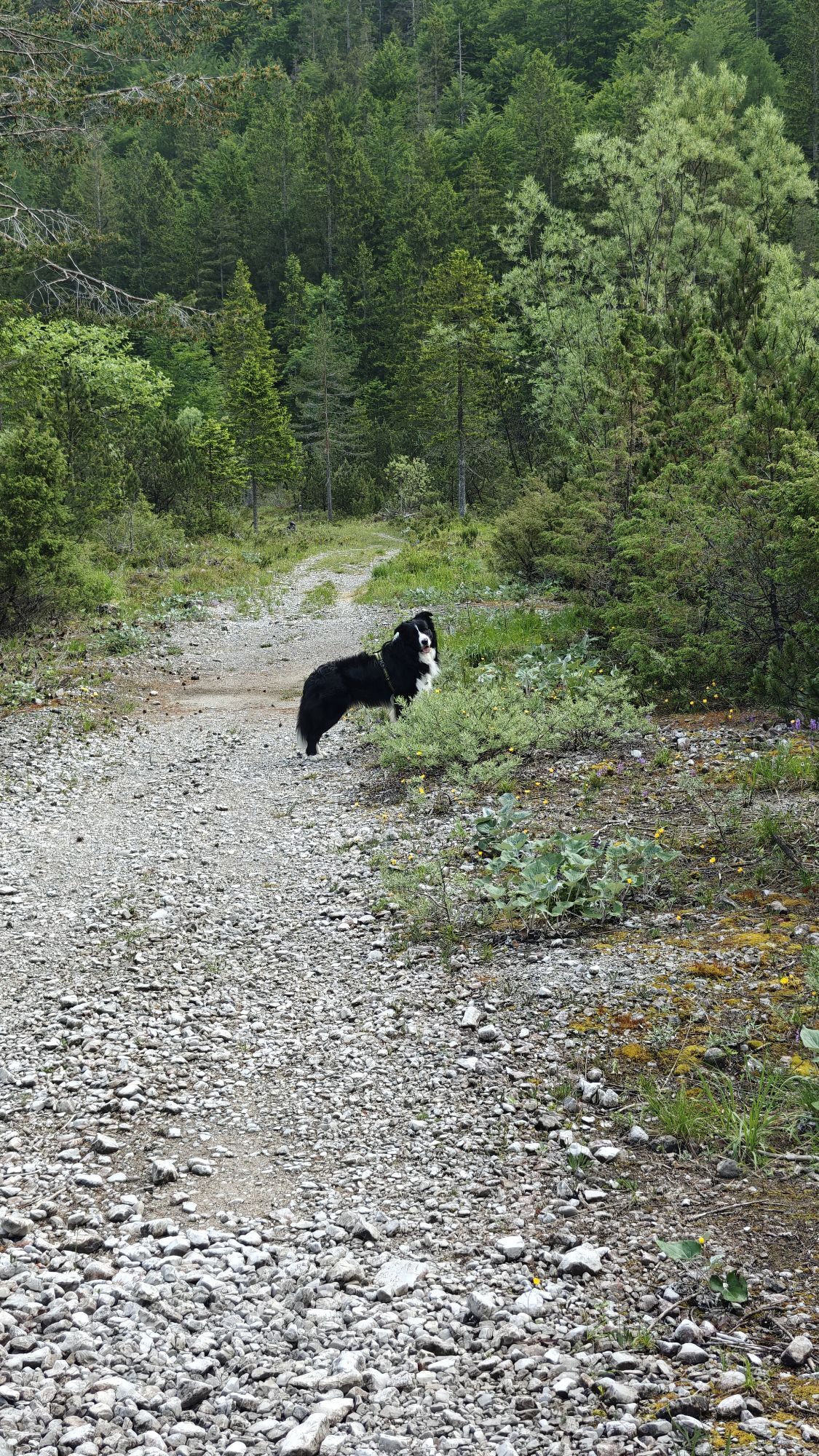
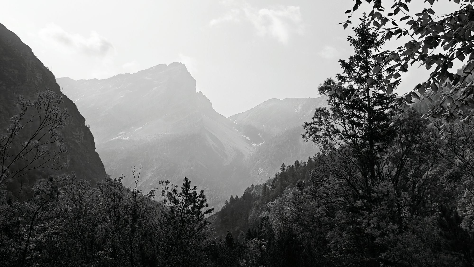
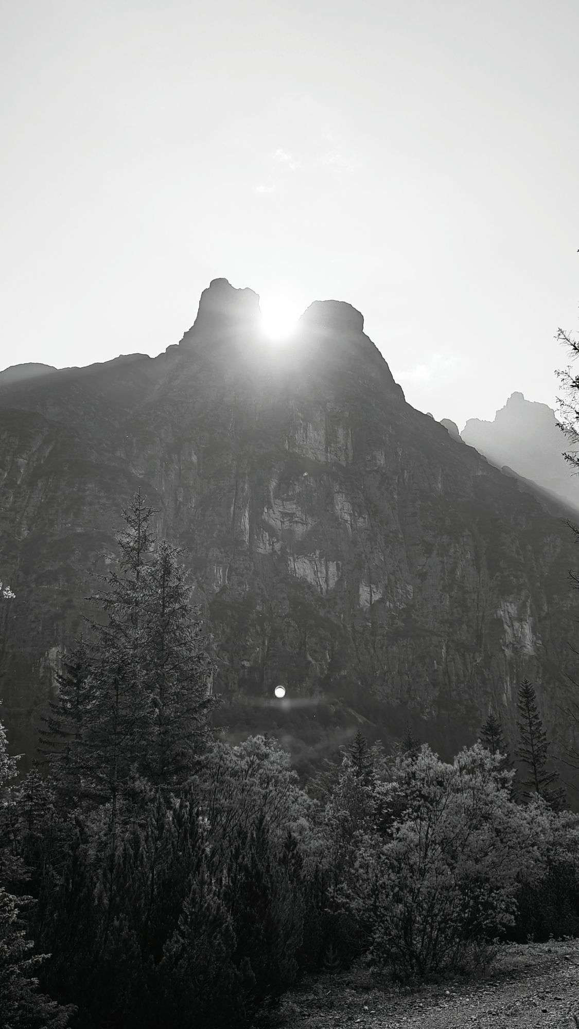
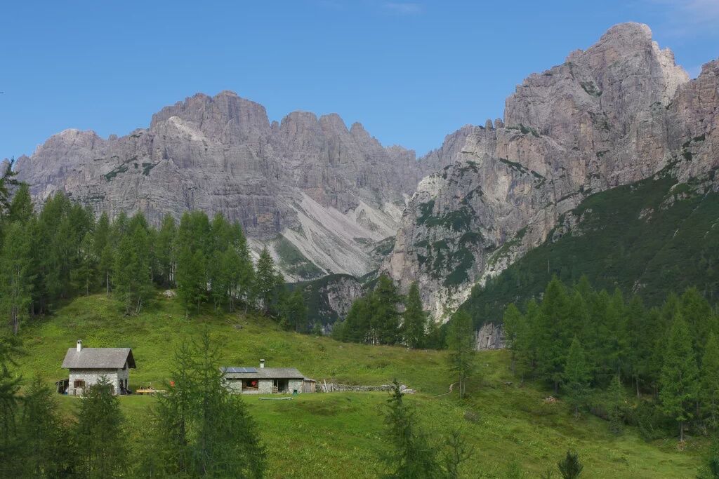
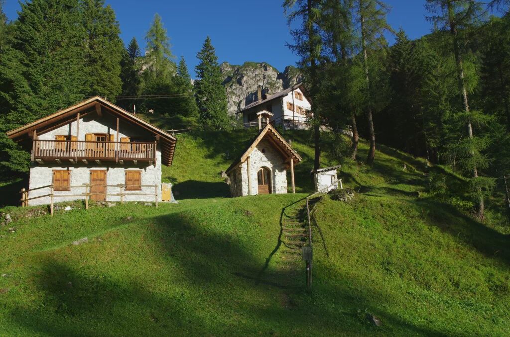
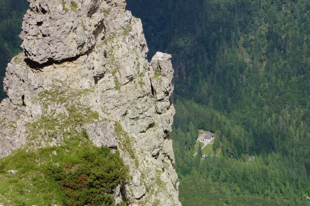
The hiking route starts in upper Cimoliana valley (Pian Meluzzo, near Rifugio Pordenone), reachable from Cimolais following the road of Val Cimoliana (13 km, paved and dirt road). From here it continues following the wide valley floor until reaching a log shelter (Caseruta dei Pecoli), from which the trail starts climbing through the forest until it comes out at the pasture of Casera Val Binon (shelter, staffed in summer). The itinerary now continues with an uphill crossing through a thicket of mountain pine, then comes out onto the grassy hollow leading to the airy Forcella Urtisiel, which offers a view ranging from the head of Val Cimoliana to the entire Dolomite area around Forni and beyond. Beyond the pass, the path descends along the scree slopes below the walls of the Cime dei Pecoli, down to Rifugio Giaf, located at the edge of the forest. Once at the Refuge, follow the trail (or the forest road) descending the valley of the same name, until the locality Ponte Giaf, the end point of the itinerary, from where it is possible to follow the road leading to the village of Forni di Sopra.


CAI 361 - CAI 346
Áno
Hiking route
T3
https://app.parcodolomitifriulane.it/wp-content/uploads/2023/03/16_TTrekking-da-cimolai-a-forn.pdf
Získajte prehľad
Vždy naživo na mieste s viac ako 9 500 webovými kamerami. bergfex Ako používateľ Pro si teraz môžete pozrieť príslušné webové kamery pre mnohé zájazdy v aplikácii zájazdy z. Môžete si tak priamo prezerať aktuálne podmienky.


Obľúbené výlety v okolí
-
5,0
Campanile di Val Montanaia a Bivacco Perugini
strednáTuristika 2,76 km -
4,5
Tiziana Weiss nature trail
strednáTuristika 9,23 km -
4,0
Mounts Bivera and Clap Savon from Casera Razzo, alpine ride
ťažkéTuristika 20,5 km -
Anello delle Dolomiti Friulane 3 Rifugio Pordenone - Rifugio Padova
strednáTuristika 7,04 km -
Loop of the Friulian Dolomites from Forni di Sopra
strednádiaľková pešia trasa 34,7 km -
4,5
GALVANA TRAIL
ťažkéTuristika 12,2 km -
The multicolored campanili of Mount Zauf
strednáTuristika 14,2 km -
Urtisiel and Canpuros, Dolomitic wonders
strednáTuristika 13,5 km -
5,0
Rifugio Flaiban Pacherini and Passo di Suola
strednáTuristika 14,3 km -
LONG LOOP ALONG THE TAGLIAMENTO RIVER
svetloTuristika 10,2 km
Turistika a stopovanie


Nenechajte si ujsť ponuky a inšpiráciu na ďalšiu dovolenku
Vaša e-mailová adresa bol pridaný do poštového zoznamu.





