







GALVANA TRAIL
Úroveň náročnosti: T3
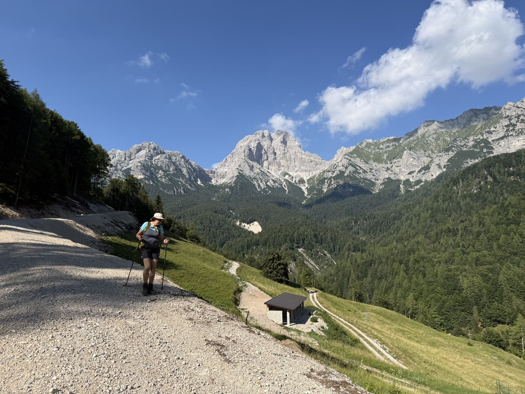
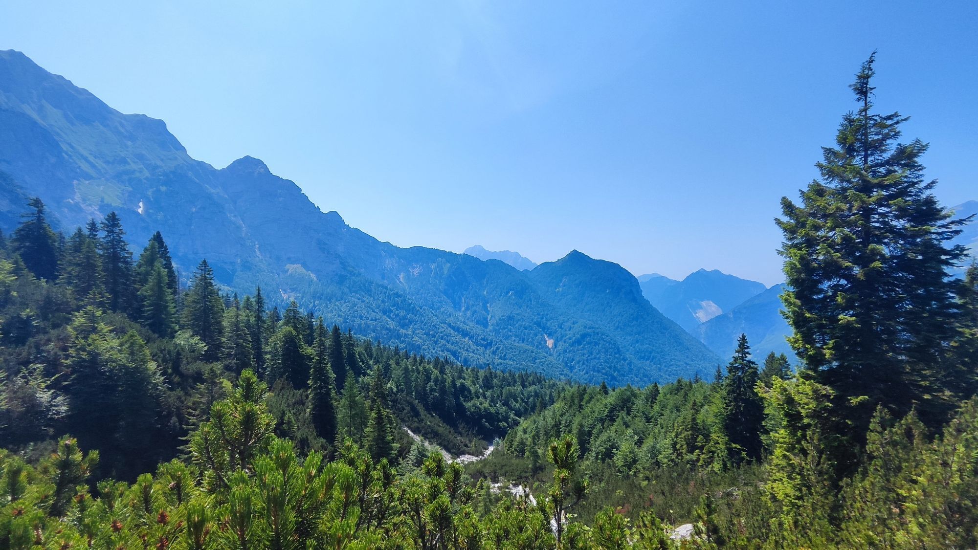
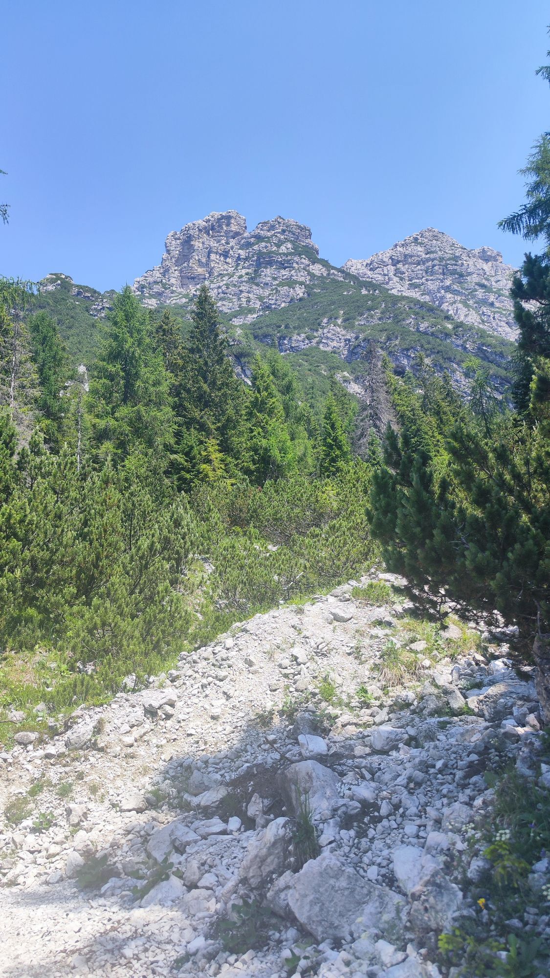
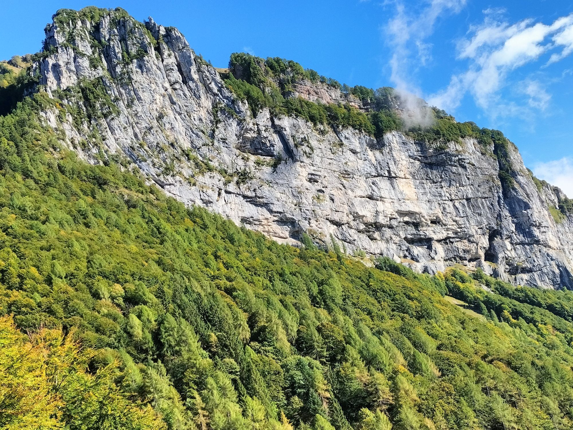
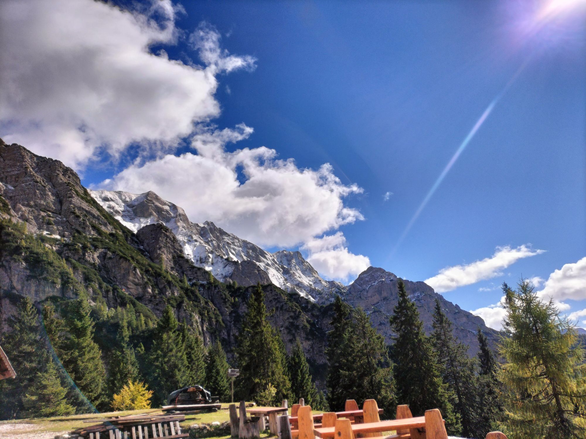
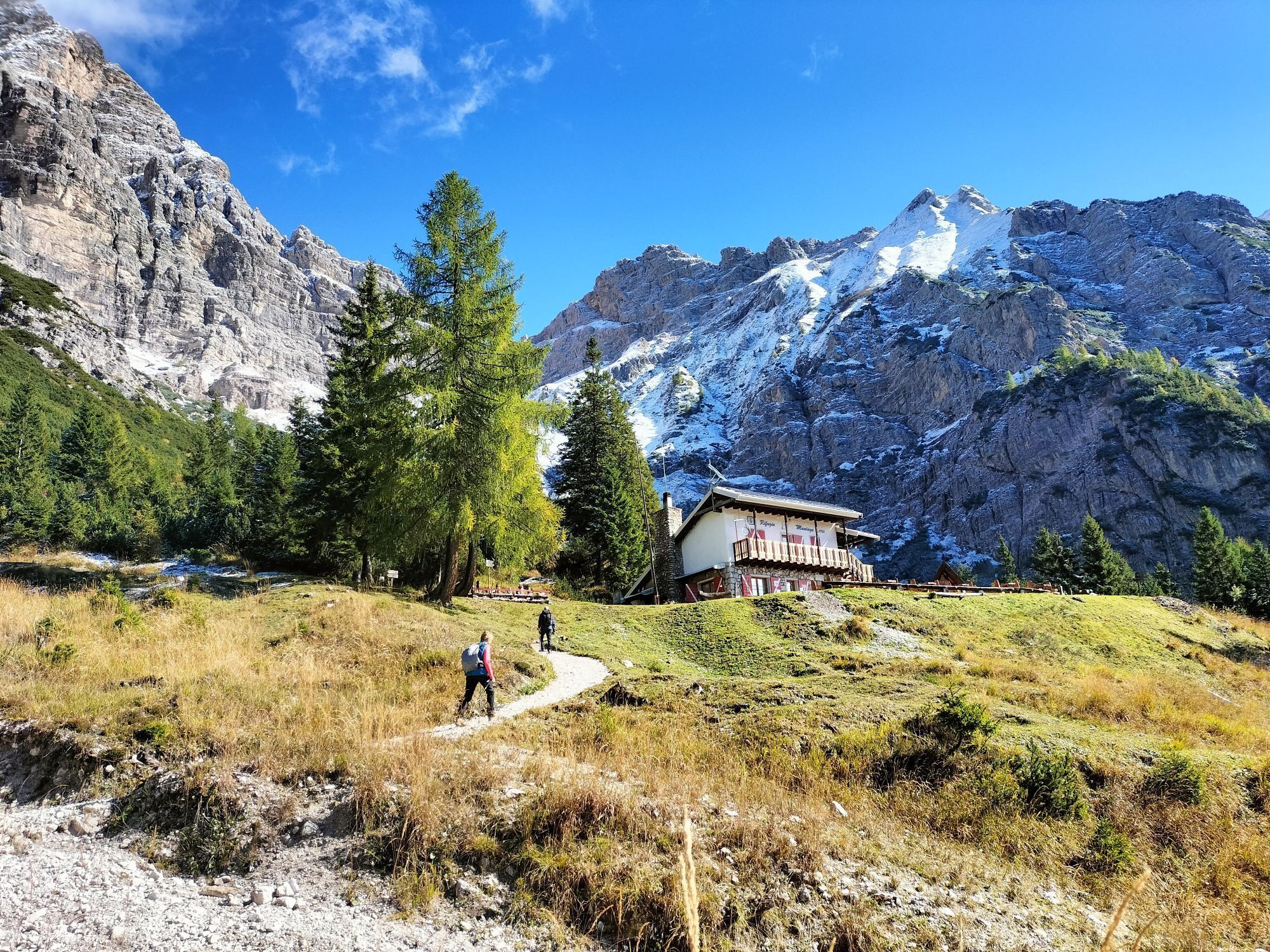
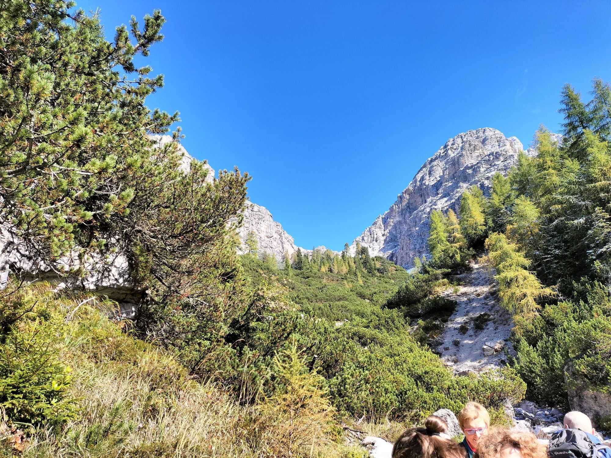
Interesting route for the insights offered from the anthropic, cultural, and also landscape point of view of the Val Zemola. The route, characterized by some demanding sections, climbs to Casera Galvana...
Interesting route for the insights offered from the anthropic, cultural, and also landscape point of view of the Val Zemola. The route, characterized by some demanding sections, climbs to Casera Galvana then continues crossing woods, clearings, and a series of gullies until reaching the imposing Monte Duranno.

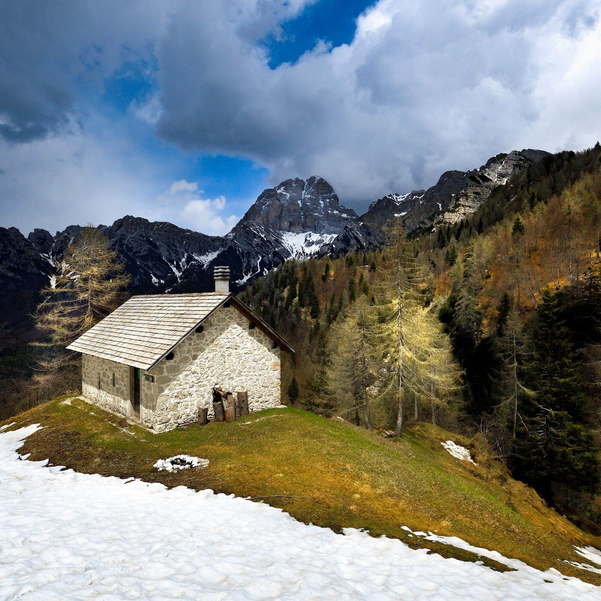
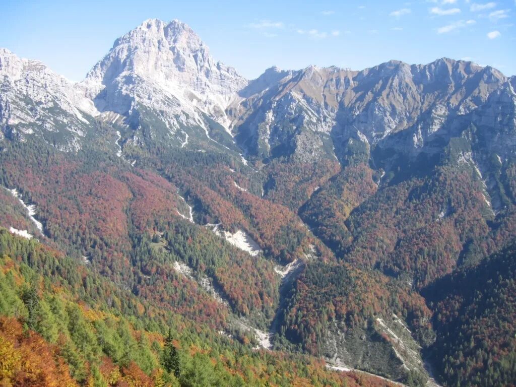
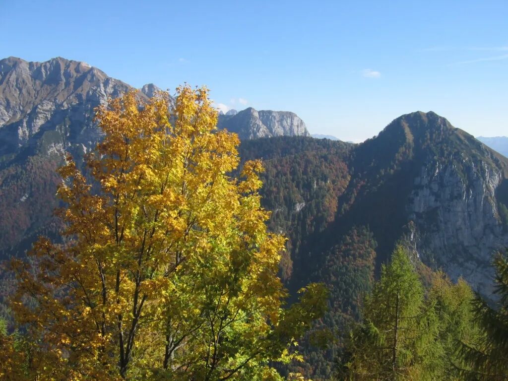
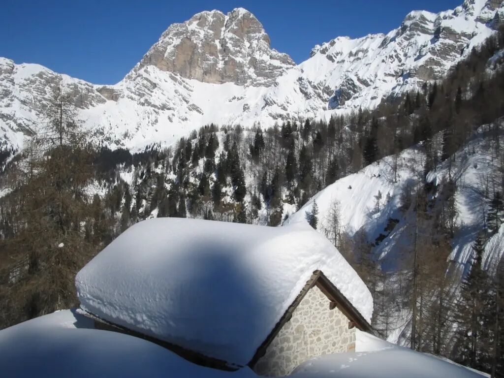

From the parking lot at Rifugio Casera Mela, reachable from Erto following the Val Zemola road, follow the forest road leading towards the Casera Ferrera pasture and, near it, take the path that descends to the right (sign for Casera Galvana) and leads to the valley floor, characterized by a wide gravel plain (Le Grave), which must be climbed up to a ford where there is a further indication for Casera Galvana. From here the route climbs the wooded valley, interrupted by some clearings, until reaching the Casera. The path now begins a long crossing of the northern slopes of Monte Fortezza and Monte Centenere, initially reaching a grassy knoll (Col dal Mus) and then crossing a series of gullies alternated by wooded ridges, until arriving at Rifugio Maniago, at the foot of Monte Duranno. From the Rifugio, descend along the return path to the valley floor and back to Rifugio Casera Mela.
CAI trail markers 374 - 908 - 374
Normal mountain hiking route
SUPPORT POINTS: Casera Galvana, Rifugio Maniago
From Erto take Val Zemola until you reach the Casera Mela parking lot
Rifugio Casera Mela
T3
https://app.parcodolomitifriulane.it/itinerari/impegnativi-per-allenati/sentiero-della-galvana/


Obľúbené výlety v okolí
-
5,0
Campanile di Val Montanaia a Bivacco Perugini
strednáTuristika 2,76 km -
Anello delle Dolomiti Friulane 3 Rifugio Pordenone - Rifugio Padova
strednáTuristika 7,04 km -
Loop of the Friulian Dolomites from Forni di Sopra
strednádiaľková pešia trasa 34,7 km -
5,0
Via ferrata della memoria
ťažkéTuristika 9,52 km -
5,0
Rifugio Flaiban Pacherini and Passo di Suola
strednáTuristika 14,3 km -
4,5
Libri di San Daniele and Monte Borgà loop
ťažkéTuristika 14,1 km -
Rifugio Remauro - Col d'Orlando - Rifugio Dolomites - Monte Rite
strednáTuristika 9,57 km -
BIVACCO MARCHI-GRANZOTTO DA FORNI DI SOPRA
ťažkéTuristika 10,3 km -
Col dei Piais, San Gualberto Crest Path and new Truoi de Thep
strednáTuristika 12,4 km -
TRAIL OF THE LOOKOUTS OF THE CAMPANILE DI VAL MONTANAIA
svetloTuristika 3,07 km
Turistika a stopovanie


Nenechajte si ujsť ponuky a inšpiráciu na ďalšiu dovolenku
Vaša e-mailová adresa bol pridaný do poštového zoznamu.





