






Libri di San Daniele and Monte Borgà loop

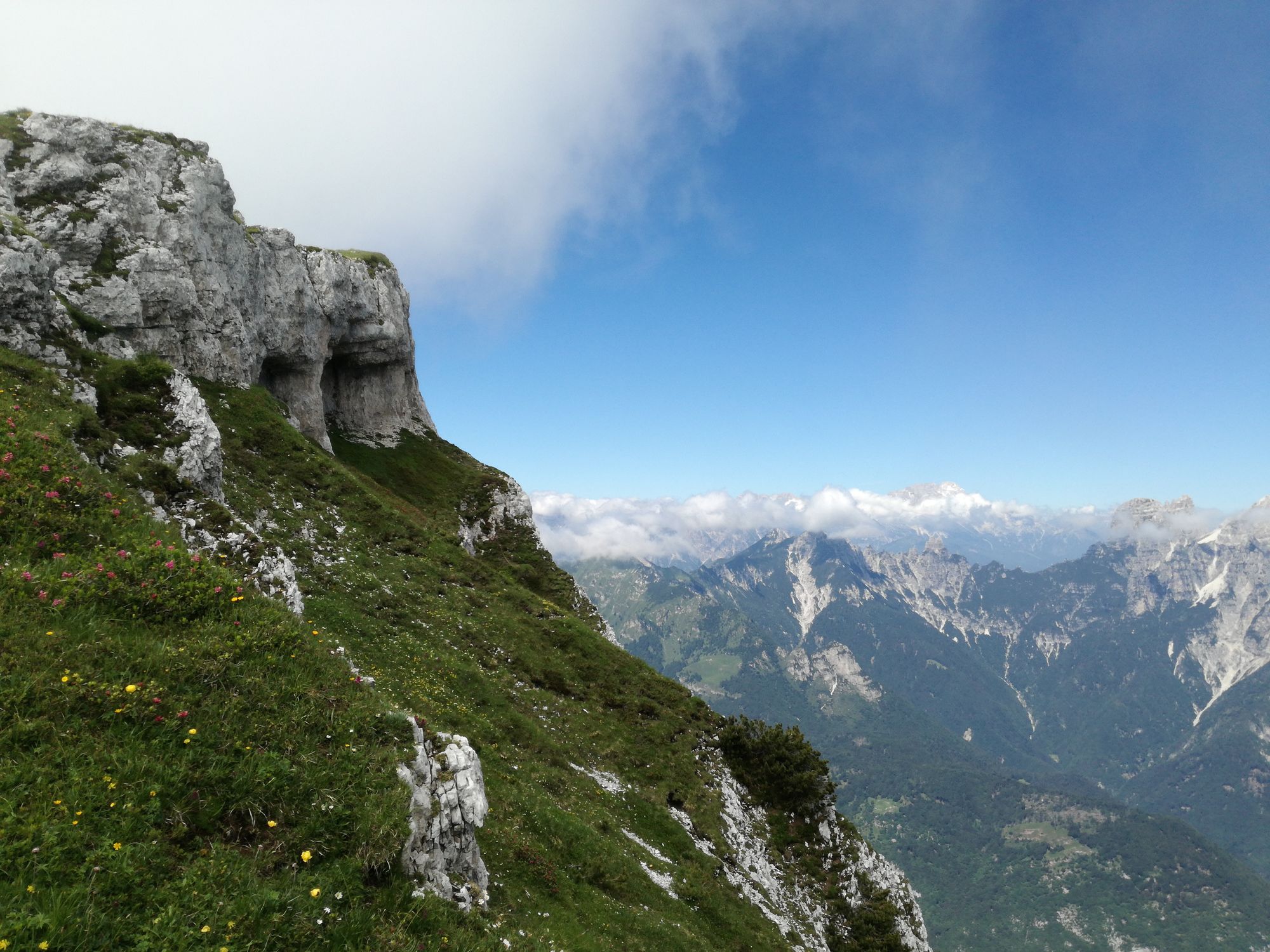
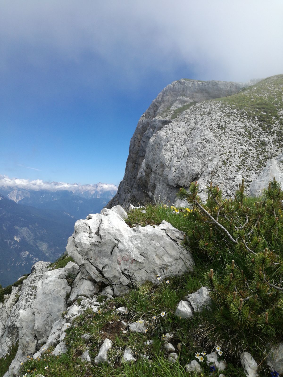
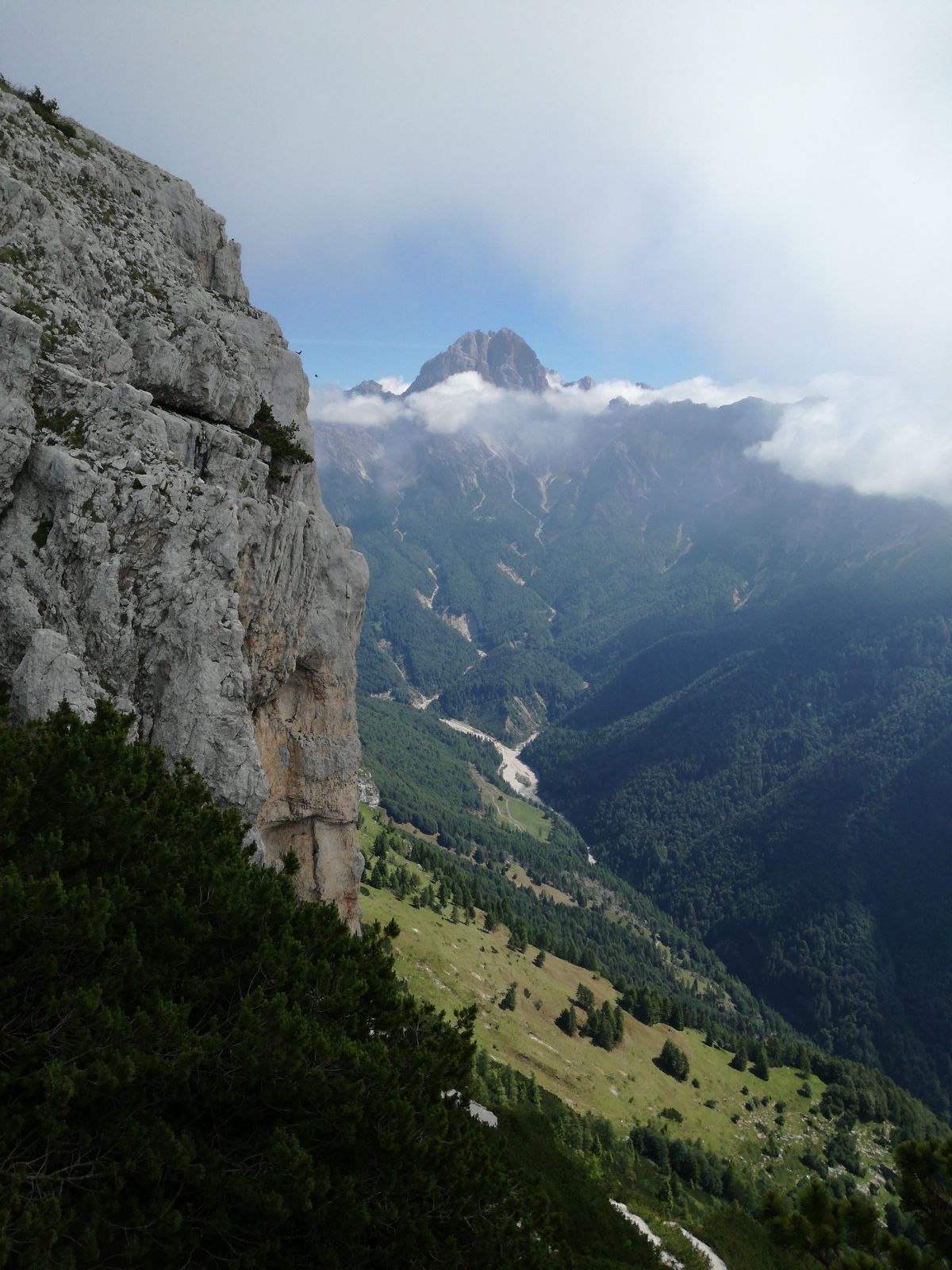
The Libri di San Daniele loop runs along the western edge of the Friulian Dolomites Park, offering views of the surrounding mountains and wonderful encounters with the splendid nature of the area. Already...

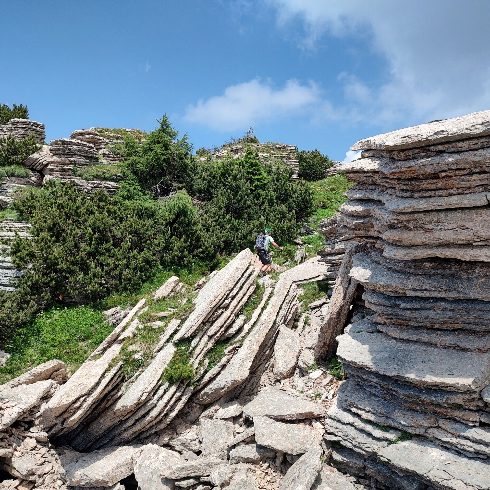

From the village of Casso follow the signs for Monte Borgà by taking the CAI 372 trail, which starts among the houses then continues through grass and some brambles. Soon you enter a forest of hazel trees, hop hornbeams, and beeches. Exiting the forest, the path opens along stony slopes mixed with meadow and forest overlooking the Piave Valley, turning into a rather exposed ledge that climbs in tight curves. Then you come out onto the beautiful "Pra de Salta" area (1400 m), an enchanting and steep meadow area. You climb for a long time on a narrow path up to Forcella Piave (2039 m), from where you descend carefully and delicately down the steep stony saddle in the most delicate passage of the entire route, then bypass a rocky spur, continuing along a gravel traverse and climbing a very steep gully between gravel and dwarf pines ascending the slopes of Monte Piave. The path runs along an easy crest and soon reaches the Libri di San Daniele, then continues through the beautiful summit meadows, first reaching Monte Sterpizza and then the junction for the summit of Monte Borgà (2228 m) which is reachable with a very short detour. The descent takes place along the CAI 372 trail along the grassy basin that hosts the ruins of Casera Borgà, then immersing in dwarf pine thickets until reaching the junction with the CAI 381 trail (possible detour to the Cava Buscada refuge). Descend the steep path towards Erto until you reach the junction with the CAI 380 trail, called "Trui dal Sciarbon", which connects Erto to Casso with a continuous up and down along scree and forest.
Áno
Áno
Normal hiking equipment, depending on the season.
Excursion not to be undertaken in case of uncertain weather (the upper part is exposed to lightning and the steep terrain can become very slippery when wet) or icy ground.
Throughout the route, surefootedness, absence of vertigo and the ability to move on terrain suitable for experienced hikers are required.
There are no water sources or refreshment points along the loop; in case of particularly hot days, consider carrying an adequate amount of water supplies.
From Veneto reach Longarone (BL) via SS51, then follow the signs for Erto and Casso (SR251). From Friuli Venezia Giulia reach Erto (PN) via SR251. Follow the signs for the village of Casso taking Via Motta near the gas station and then park in the parking lot at the entrance to the village.
The village of Casso is reachable by public transport that goes up to the junction to the village, 1.7 km from the start.
Parking at the entrance of Casso (PN)
For hikers not adequately prepared, it is advisable to hike the trail in the opposite direction starting from Erto, thus ensuring the possibility to reach, without particular technical difficulties or exposure, first the summit of M. Borgà and the Libri di San Daniele (still a significant elevation gain of about 1500 m) and possible return via the Cava Buscada road.
The Cava Buscada refuge, reachable by a detour of about 3 km, offers catering and accommodation services during opening periods.

Obľúbené výlety v okolí
-
5,0
Zacchi-Berti-Marmol Schiara (B/C)
Via ferrata 16 km -
5,0
Campanile di Val Montanaia a Bivacco Perugini
strednáTuristika 2,76 km -
5,0
Via ferrata della memoria
ťažkéTuristika 9,52 km -
4,5
GALVANA TRAIL
ťažkéTuristika 12,2 km -
Rifugio Remauro - Col d'Orlando - Rifugio Dolomites - Monte Rite
strednáTuristika 9,57 km -
TRAIL OF THE LOOKOUTS OF THE CAMPANILE DI VAL MONTANAIA
svetloTuristika 3,07 km -
Col dei Piais, San Gualberto Crest Path and new Truoi de Thep
strednáTuristika 12,4 km -
TREKKING FORCELLA DEL DURANNO
ťažkéTuristika 15,1 km -
Cimoliana Valley Road
strednáTuristika 13,2 km -
AVDB - Stage 1: Forno di Zoldo - Rif. Pramperet
strednáVysoké turné 9,38 km
Turistika a stopovanie


Nenechajte si ujsť ponuky a inšpiráciu na ďalšiu dovolenku
Vaša e-mailová adresa bol pridaný do poštového zoznamu.





