


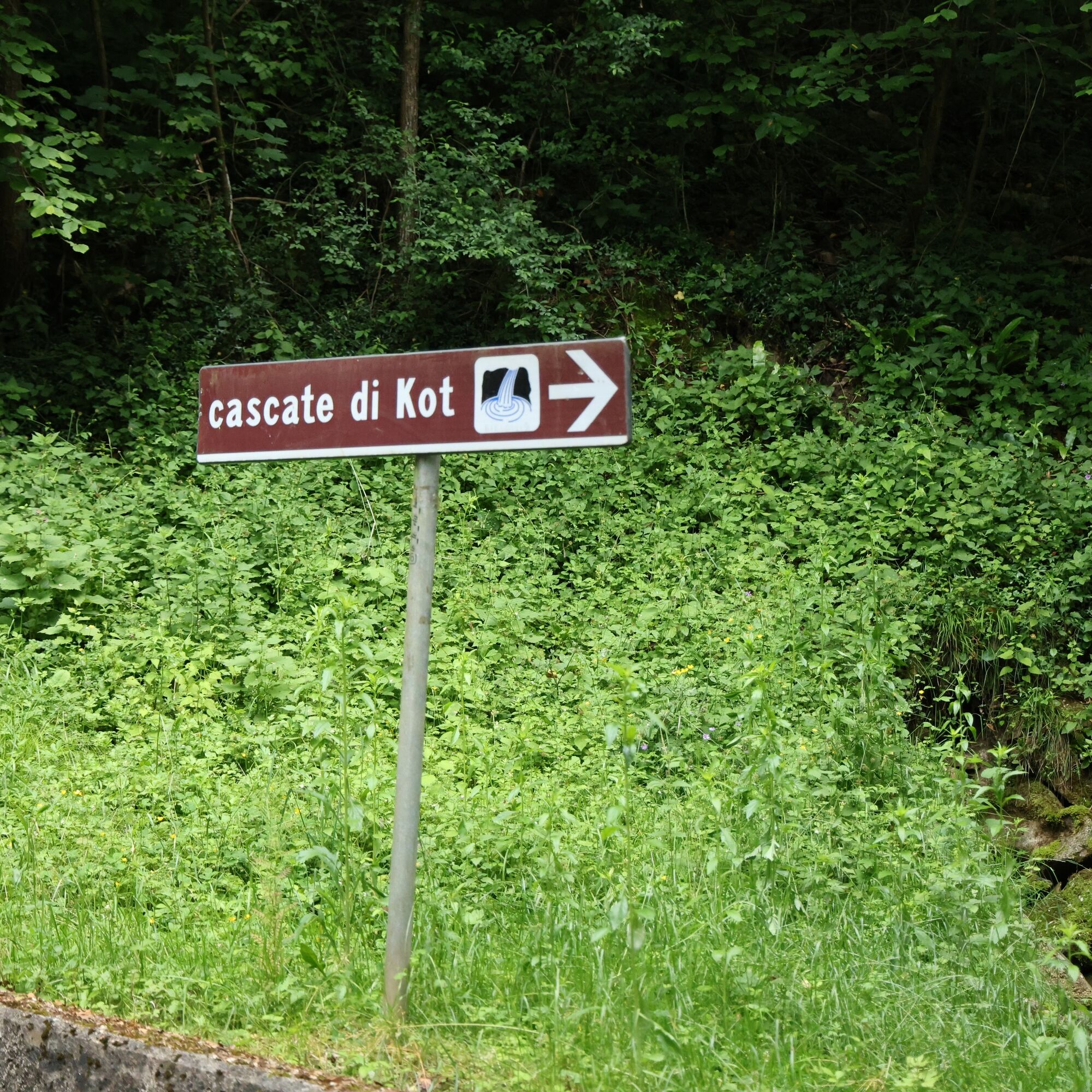
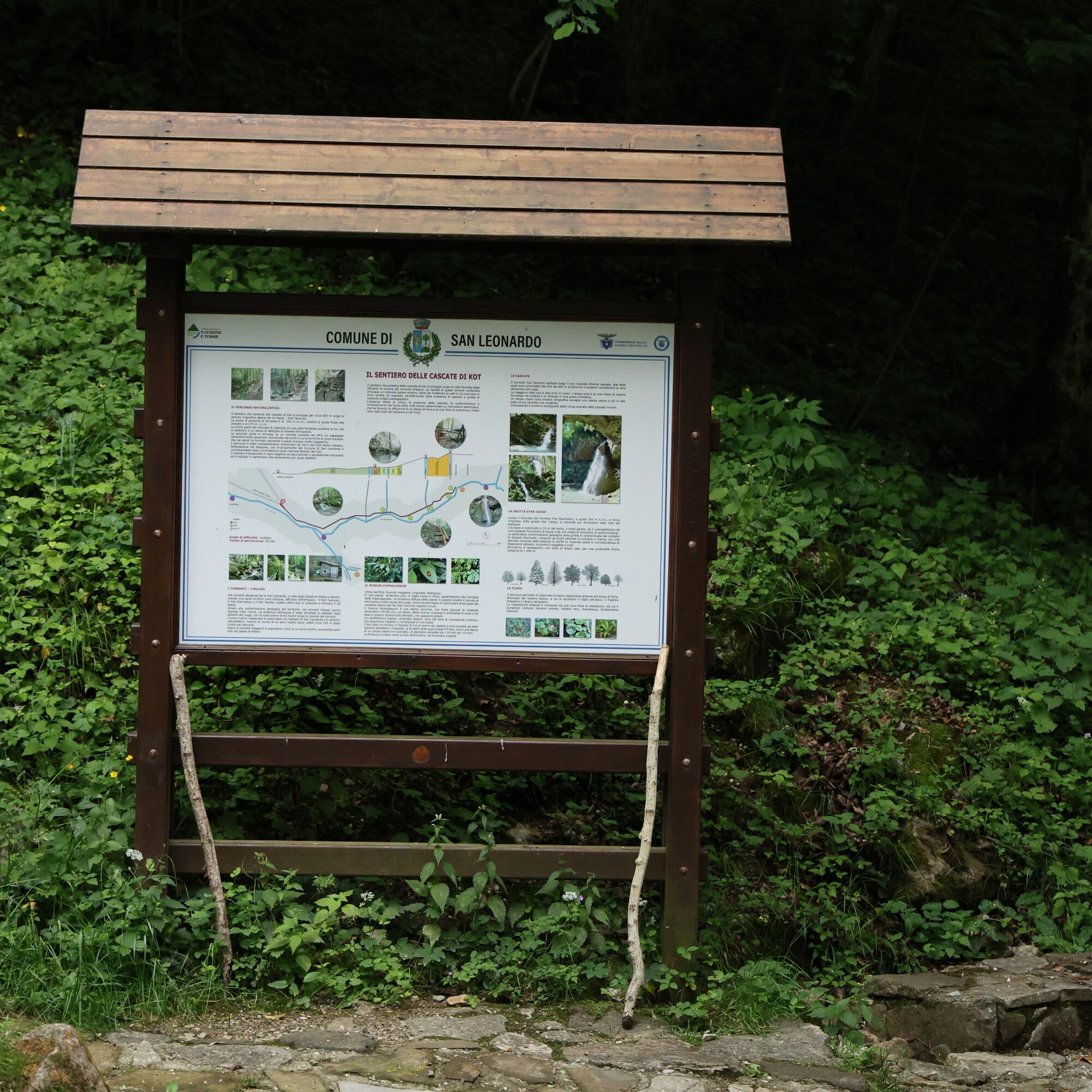
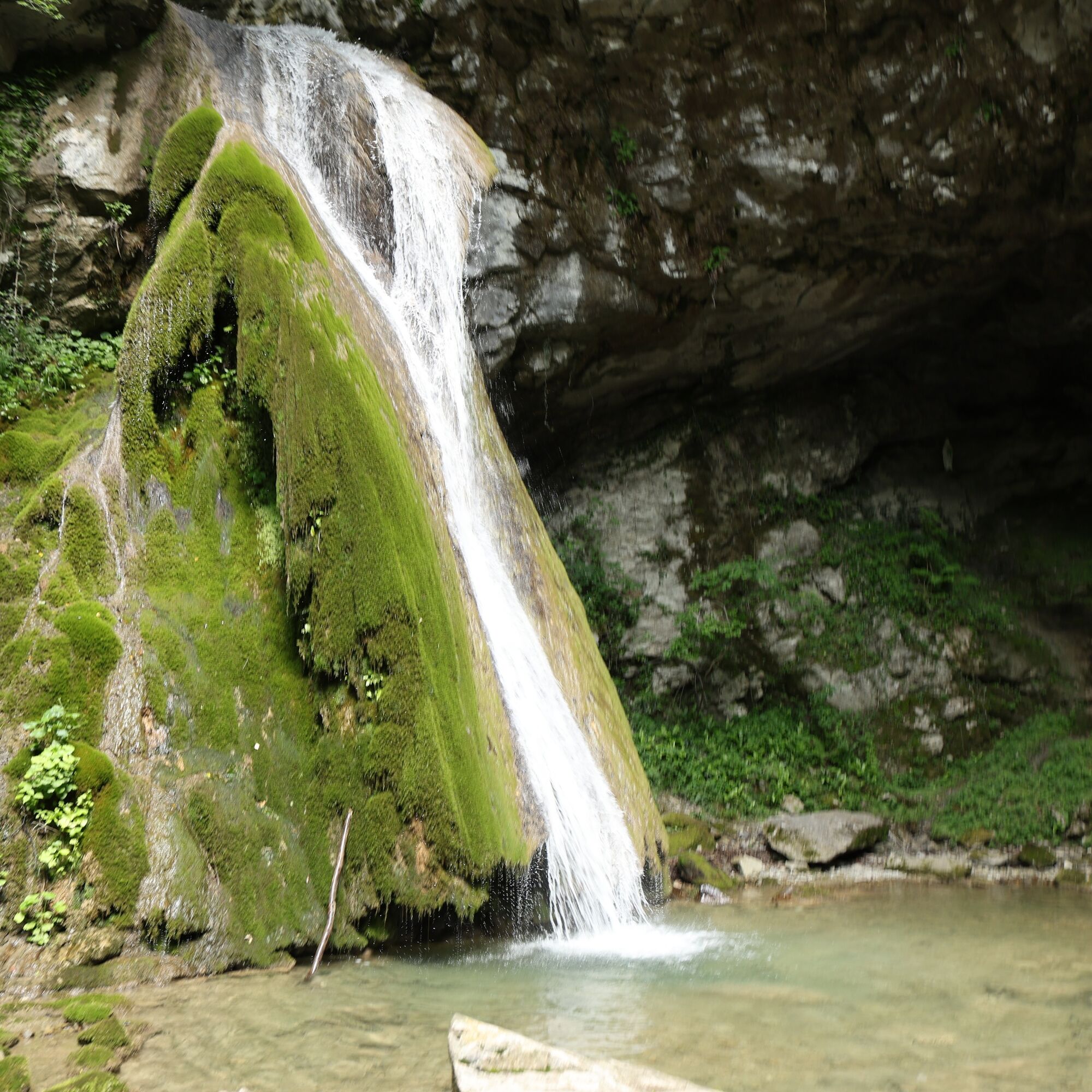
Kot Waterfall / Slap Kot
Úroveň náročnosti: T1
The route does not have significant elevation changes. However, it remains a route for hikers, as the characteristics of the ground still require appropriate footwear.
The route is the first regional trail...
The route does not have significant elevation changes. However, it remains a route for hikers, as the characteristics of the ground still require appropriate footwear.
The route is the first regional trail recognized as suitable for forest therapy and is at the center of important initiatives linked to the Interreg Italy-Slovenia "Itinerant" project.
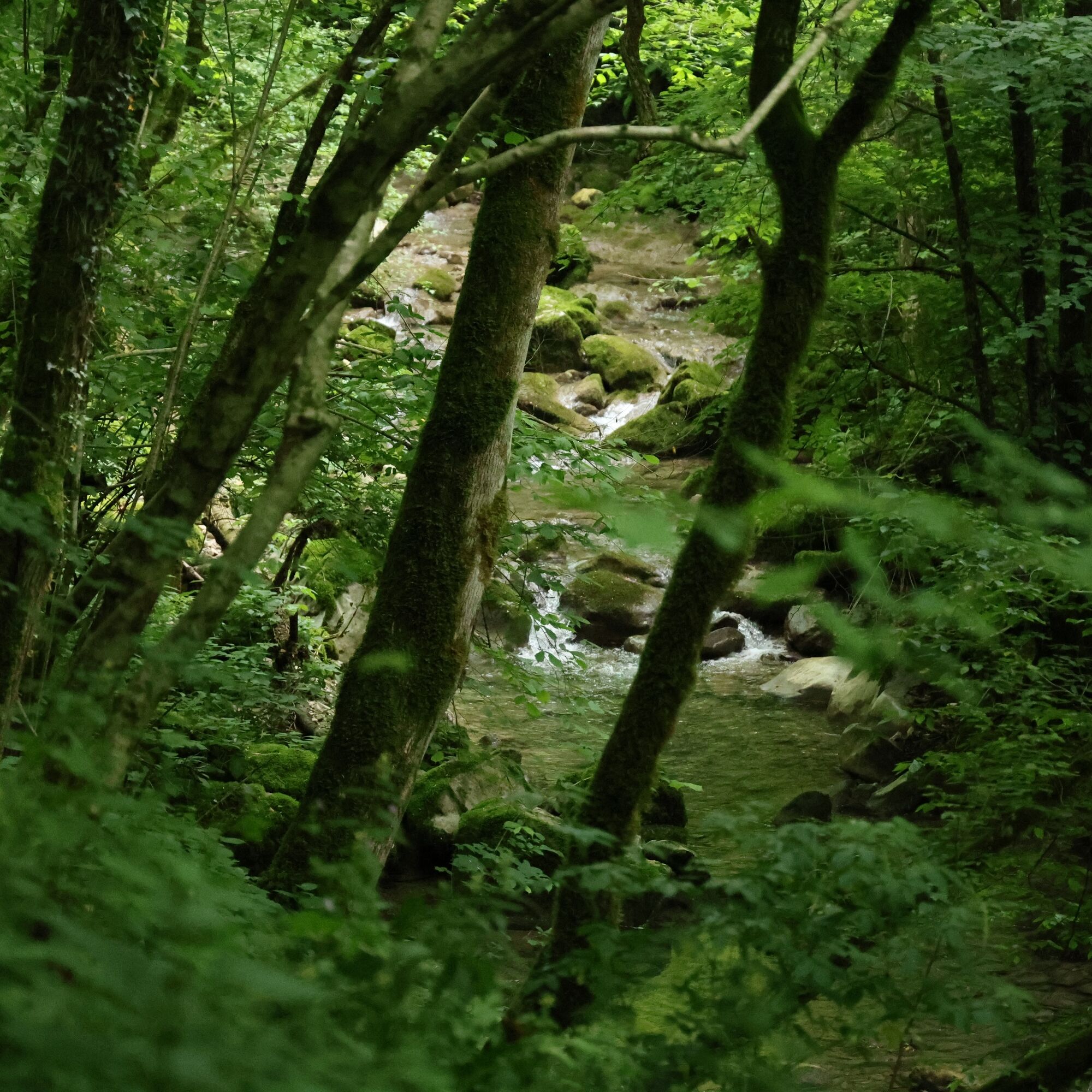
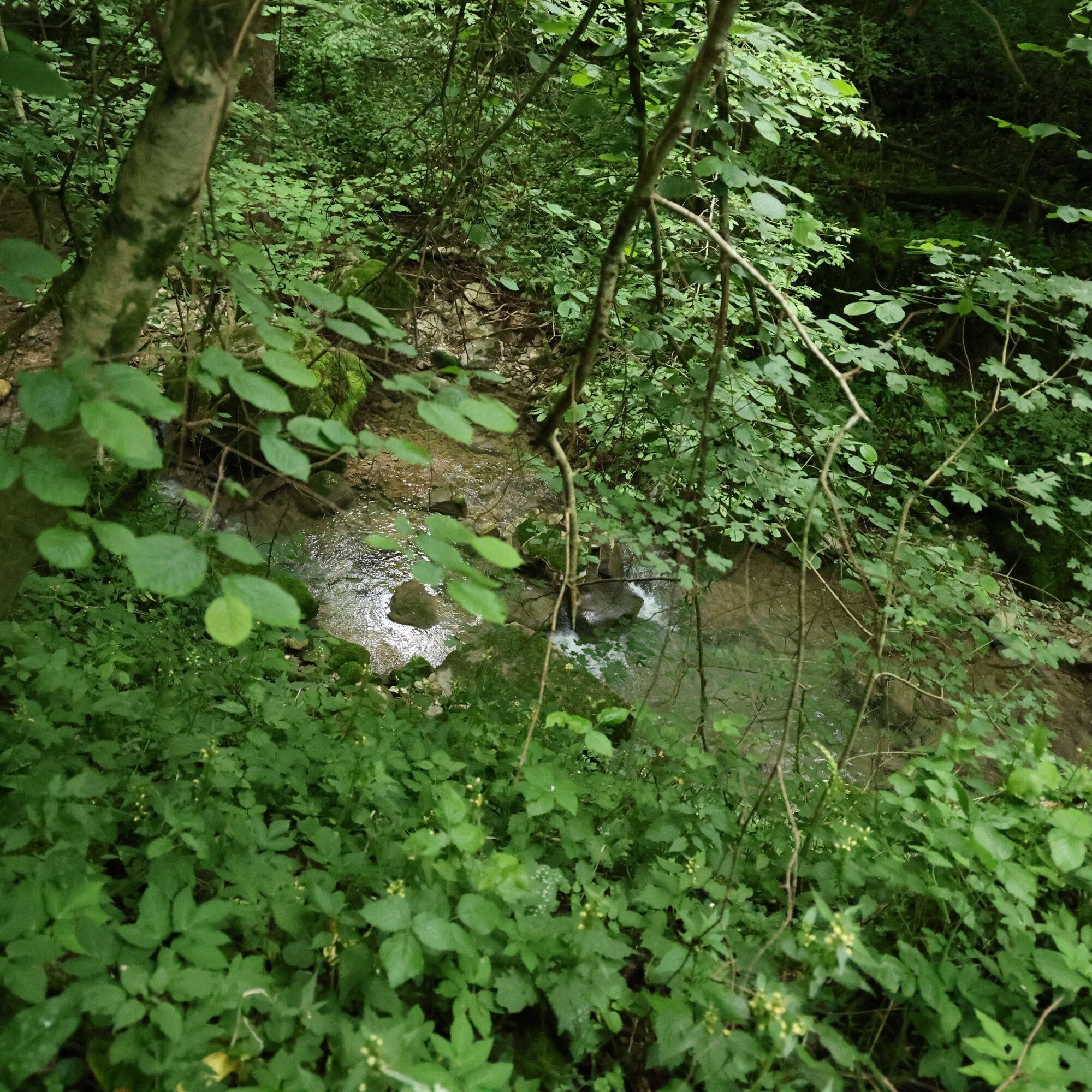
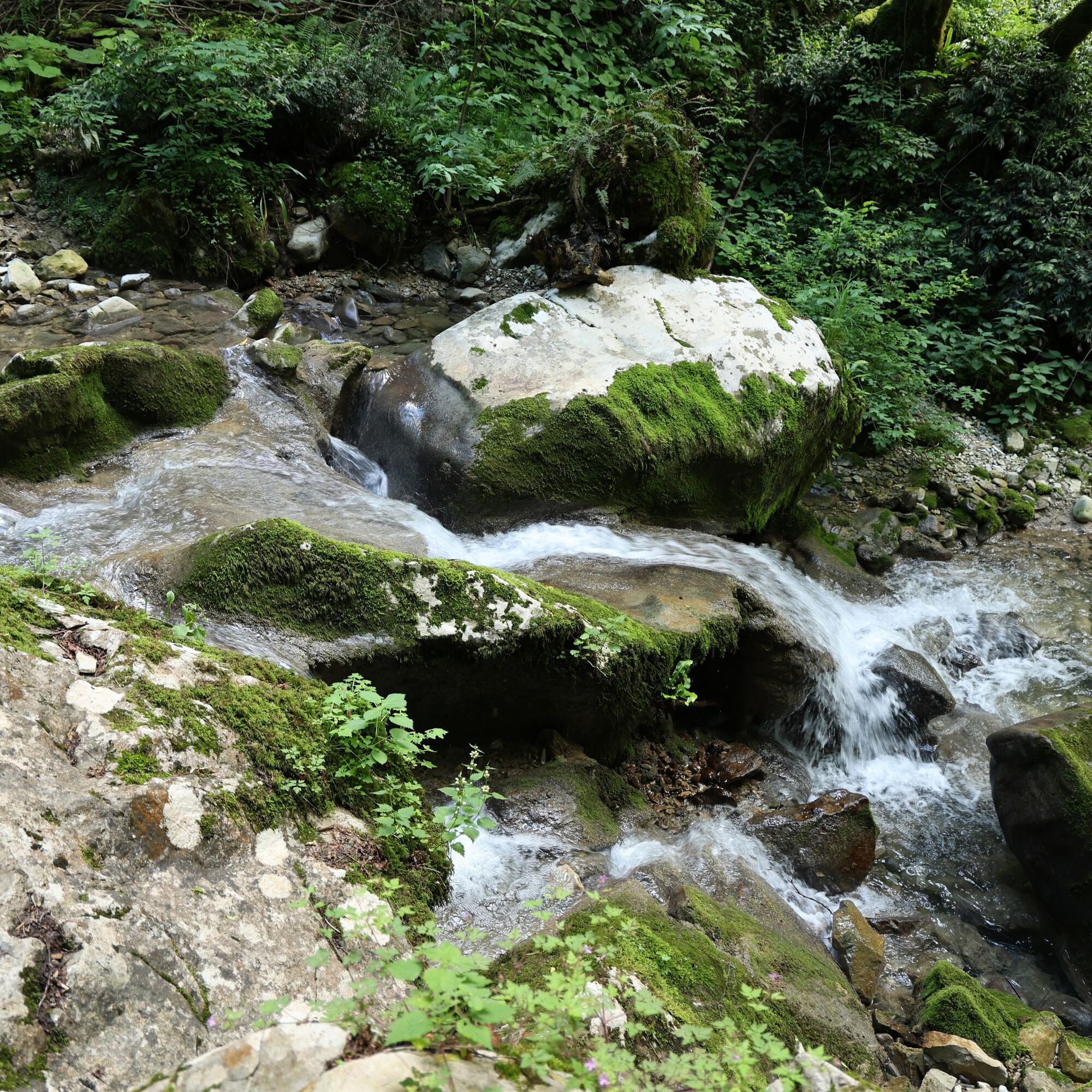
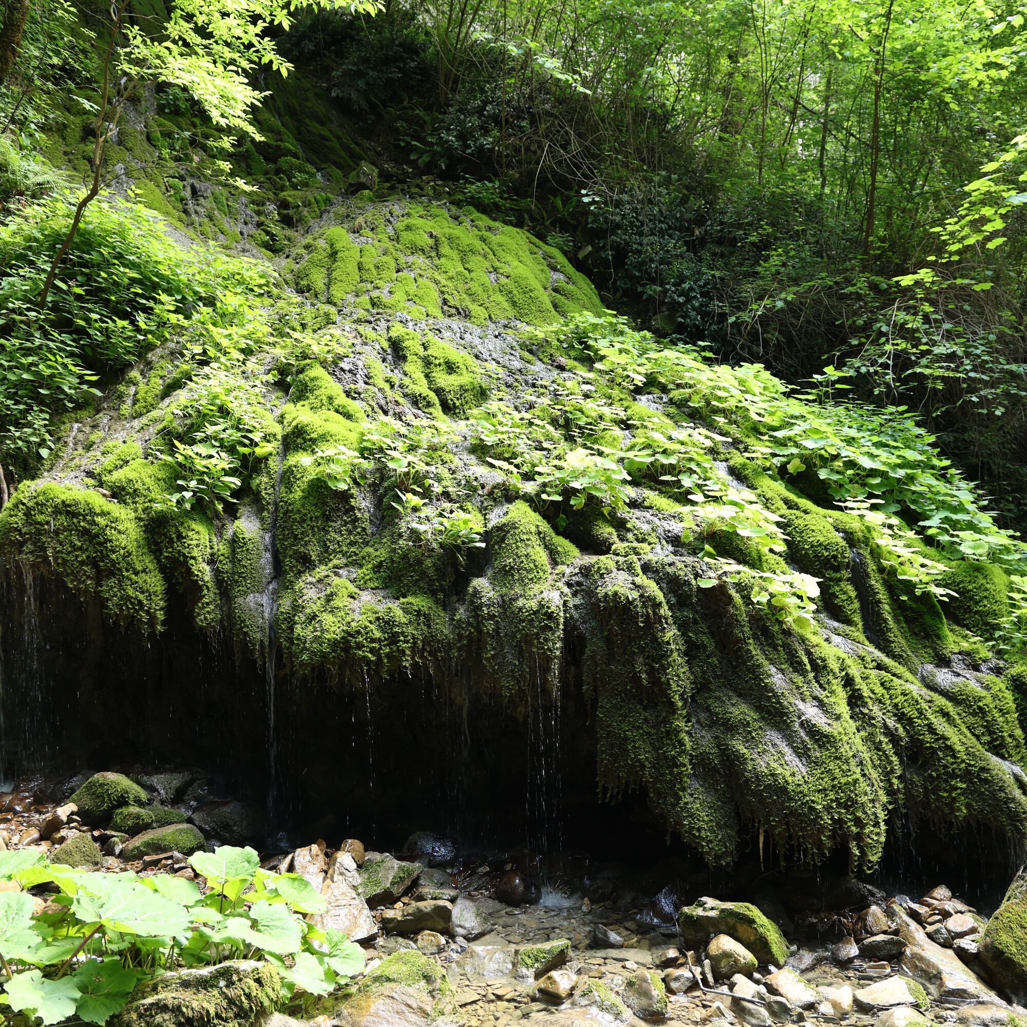
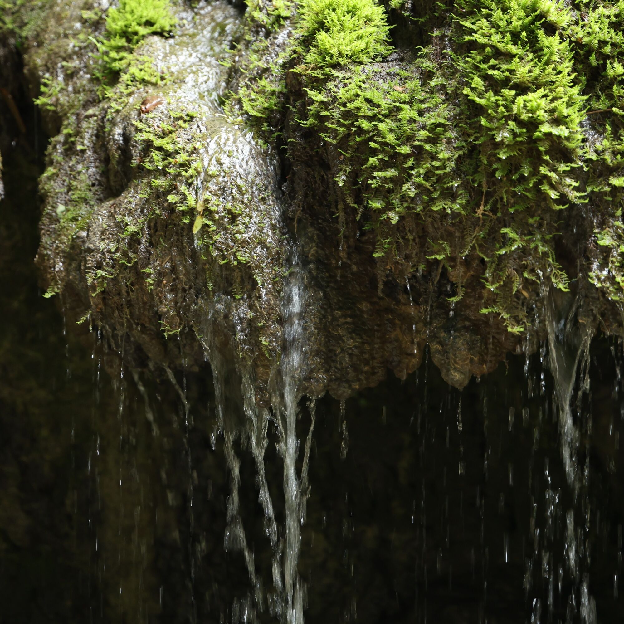
This is not a stop to be hurriedly added to your collection of visited places but an almost mystical corner where you can forget the passing of time and immerse yourself in the atmosphere of the forest, breathing in deeply the aerosols from the trees. The sound of water will constantly accompany your experience, increasing from the start of the trail to the waterfall.

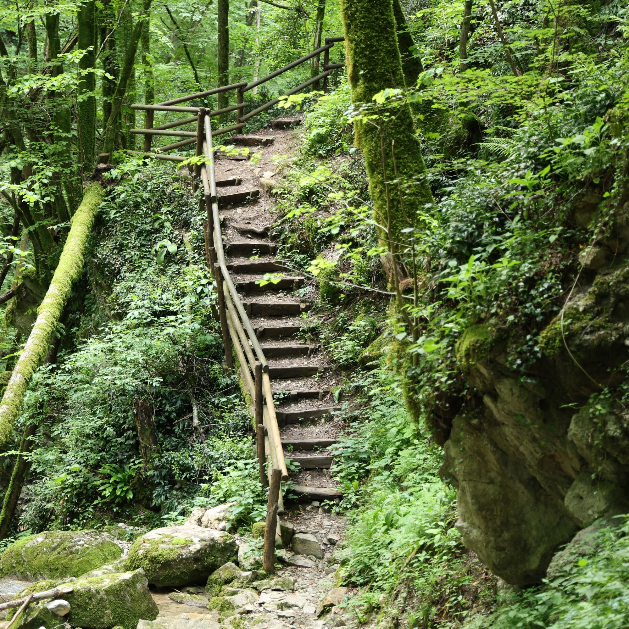


The route does not have any forks or particular hazards.
Áno
Áno
Áno
The use of appropriate footwear is recommended.
No particular precautions are necessary beyond those normally required in a natural environment.
The easiest ways to reach the start of the route are by car and bicycle.
It is possible, but not entirely easy, to reach the route by public transport. Indeed, they do not go beyond the inhabited areas of Merso di Sopra, about a 15-minute walk (TPL FVG lines numbers 313 and 314), and Scrutto, about a 25-minute walk (TPL FVG line number 315).
A convenient parking lot is located just a few steps from the start of the route.
T1
Leave your cellphone in the car!
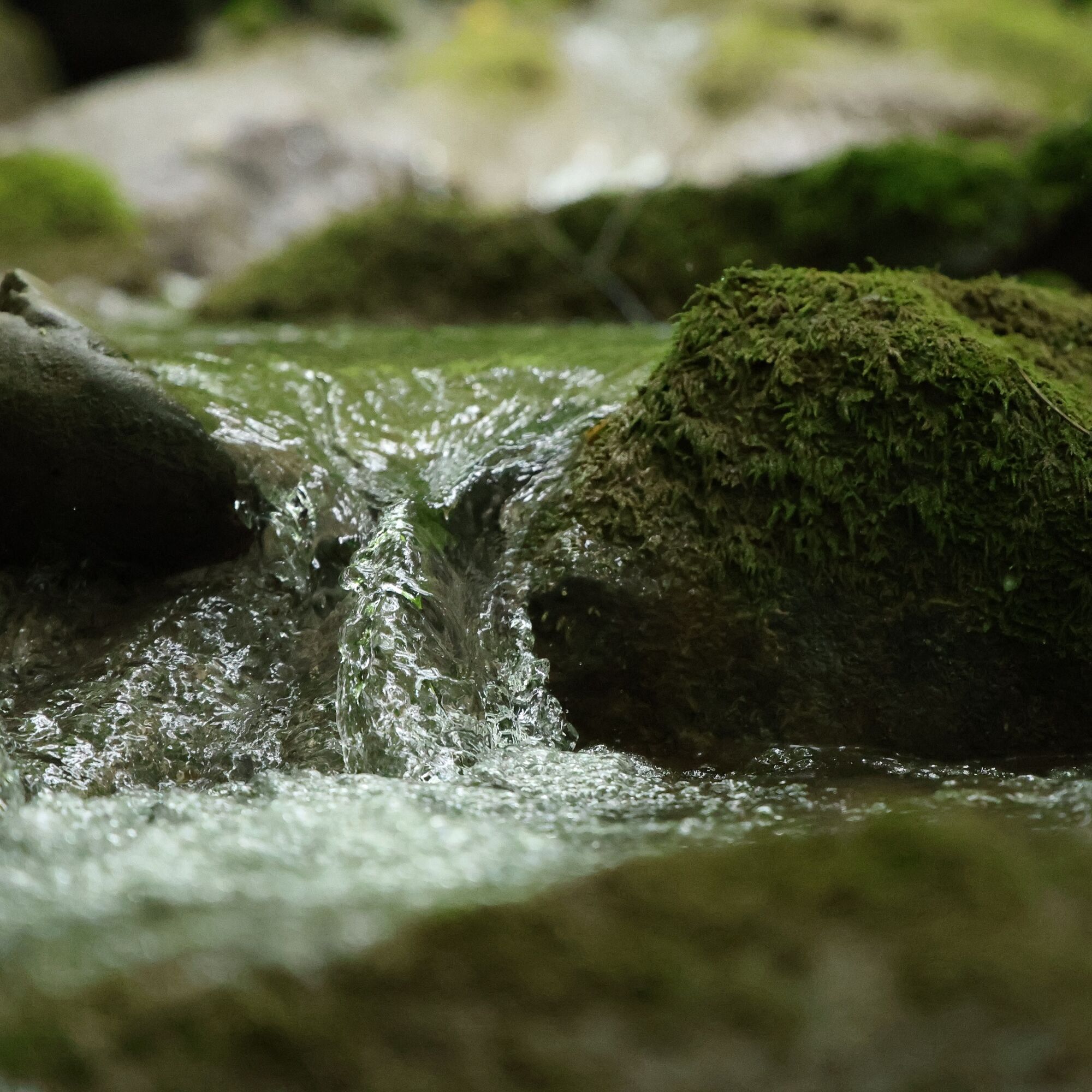
The best thing to do on this route is to lose yourself in personal reflection in a cozy corner of nature, while watching the water flow.
Obľúbené výlety v okolí
-
4,0
Matajur
strednáMountainbike 24,8 km -
4,0
Kolovrat
strednáMountainbike 33,0 km -
5,0
JULIANA TRAIL - stage 12: Tolmin – Kobarid
strednáTuristika 17,3 km -
4,0
Matajur (1642 m) from Marsin
strednáTuristika 10,2 km -
Kolovrat mountain loop
svetloTuristika 7,51 km -
JULIANA TRAIL – stage 20: Šmartno - Solkan
ťažkéTuristika 13,3 km -
JULIANA TRAIL – stage 19: Korada - Šmartno
strednáTuristika 11,4 km -
JULIANA TRAIL - stage 18: Pod Ježo mountain hut - Korada
strednáTuristika 20,7 km -
JULIANA BIKE - ACCESS stage: Goriška Brda - Tolmin
strednáCyklistika 48,3 km -
Ivanac / Monte Joanaz (1167 m) from Čarni Varh / Montefosca
strednáTuristika 5,53 km
Turistika a stopovanie


Nenechajte si ujsť ponuky a inšpiráciu na ďalšiu dovolenku
Vaša e-mailová adresa bol pridaný do poštového zoznamu.