


Monte Pieltinis - Morgantlaite - 3D
Úroveň náročnosti: T2
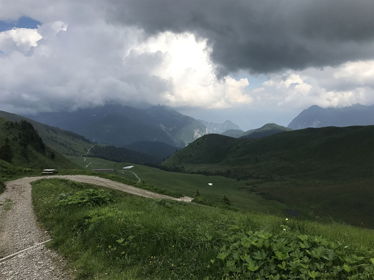
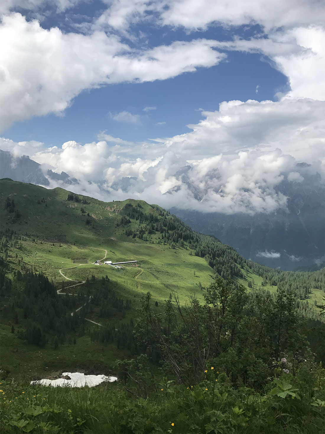
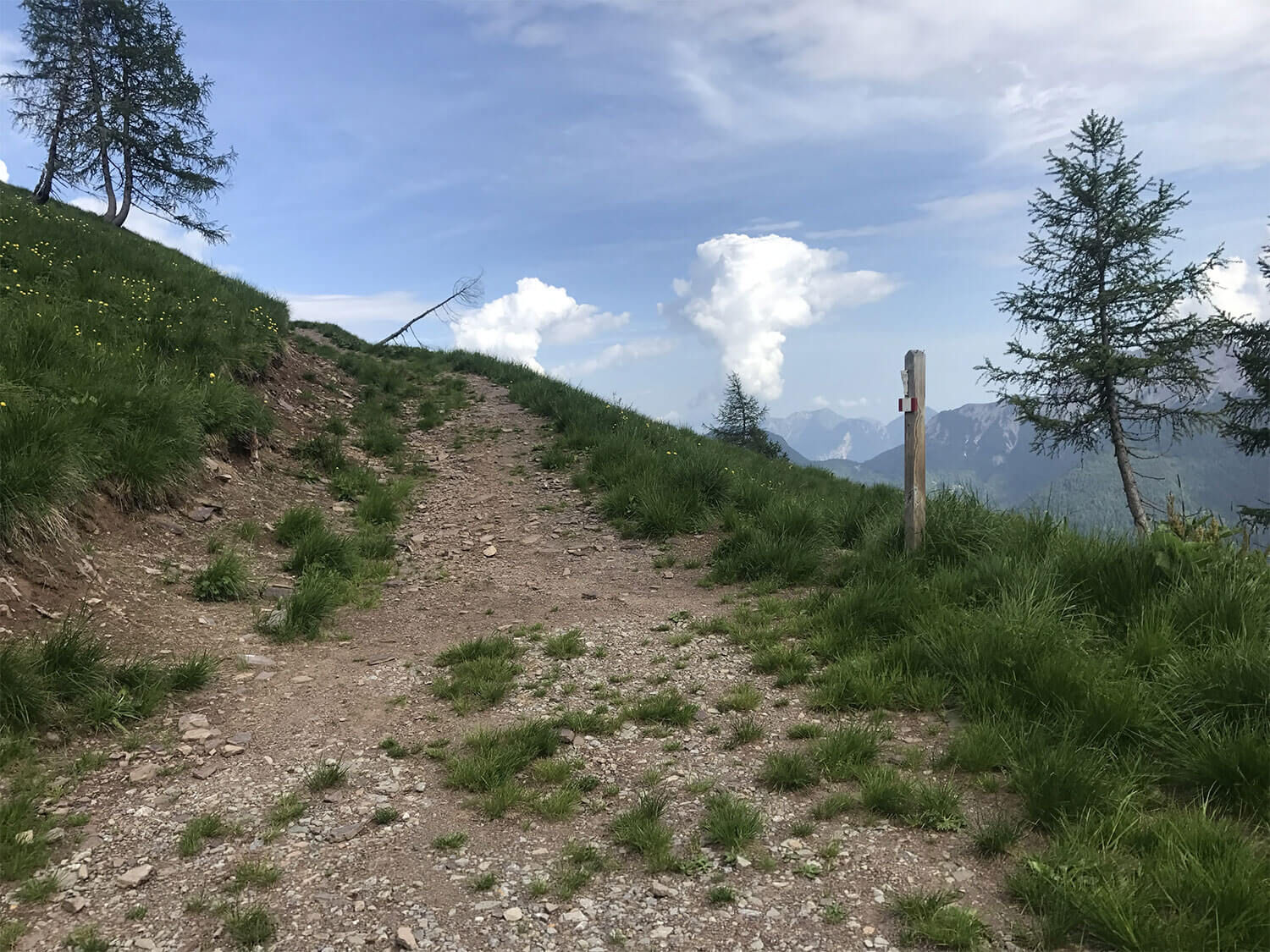
From Sella Festons proceed along the ridge on a pleasant path to Sella Malino, from here, always close to the watershed, cross the slope of Pieltinis, from which you can admire a panoramic view of the...
From Sella Festons proceed along the ridge on a pleasant path to Sella Malino, from here, always close to the watershed, cross the slope of Pieltinis, from which you can admire a panoramic view of the lake and Sauris di Sotto. Continuing with a gentle ascent on the meadows below the summit of Pieltinis, in a short time we reach the saddle and then the homonymous mountain hut.

Áno
It is recommended to wear season-appropriate clothing and hiking boots. Snow may be present in the winter period, so bring suitable equipment.
It is recommended to carry a water bottle and possibly a snack.
It is advisable to arrive at Sauris di Sopra by private transport.
In the center of Sauris di Sopra there are several free parking areas.
T2
Obľúbené výlety v okolí
-
4,5
Tiziana Weiss nature trail
strednáTuristika 9,23 km -
30 MONTE CHIADIN - Sappada
strednádiaľková pešia trasa 4,22 km -
5,0
Pani loop
svetloTuristika 6,26 km -
Mounts Bivera and Clap Savon from Casera Razzo, alpine ride
ťažkéTuristika 20,5 km -
5,0
Medzi vidieckymi dedinami v karnických kopcoch
svetloTuristika 9,23 km -
The multicolored campanili of Mount Zauf
strednáTuristika 14,2 km -
5,0
16 MONTE FERRO REFUGE from Borgata Bach - Sappada
svetloTuristika 1,47 km -
Colmajer ridge loop
strednáTuristika 7,51 km -
Urtisiel and Canpuros, Dolomitic wonders
strednáTuristika 13,5 km -
25 OLBE LAKES via the ski slope and path 135 - Sappada
strednádiaľková pešia trasa 4,70 km

Turistika a stopovanie


Nenechajte si ujsť ponuky a inšpiráciu na ďalšiu dovolenku
Vaša e-mailová adresa bol pridaný do poštového zoznamu.