







Monte Crostis from Rifugio Chiadinas

Úroveň náročnosti: T1
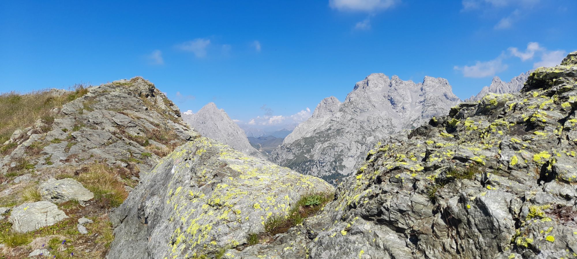

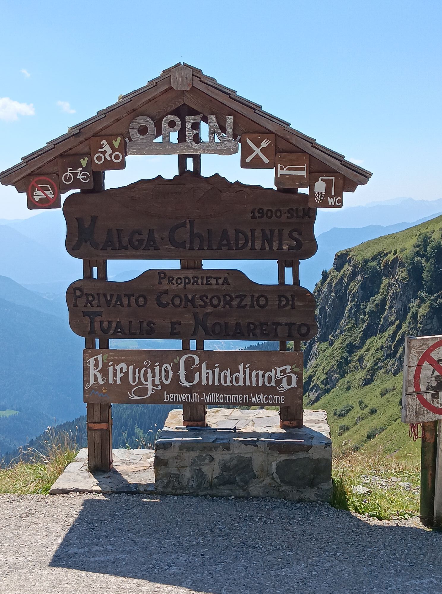
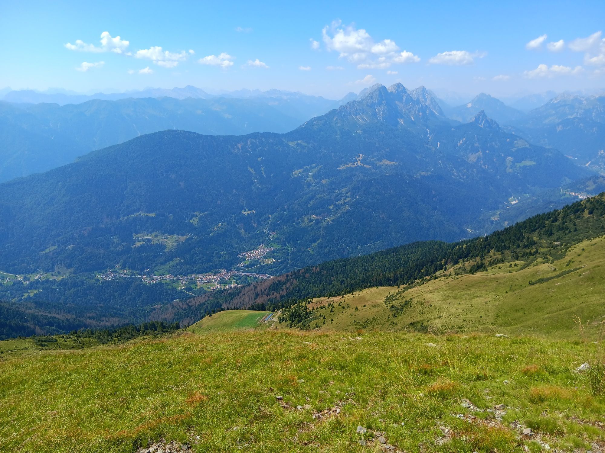
The hike starts from the parking lot along the Panoramica delle Vette near the access road to Rifugio Chiadinas (1934 m), where we join the trail 151 signpost. The path climbs without too much steepness...
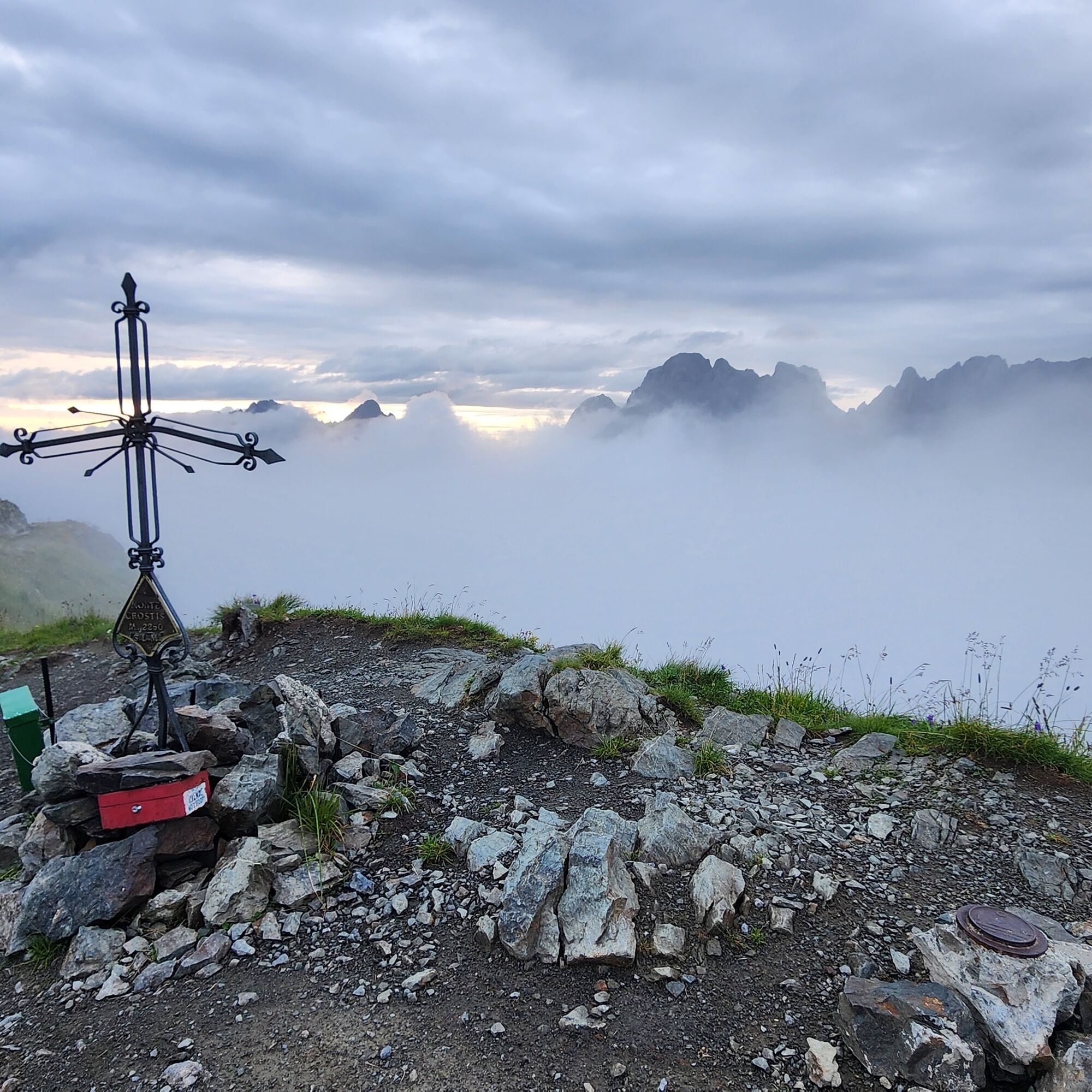
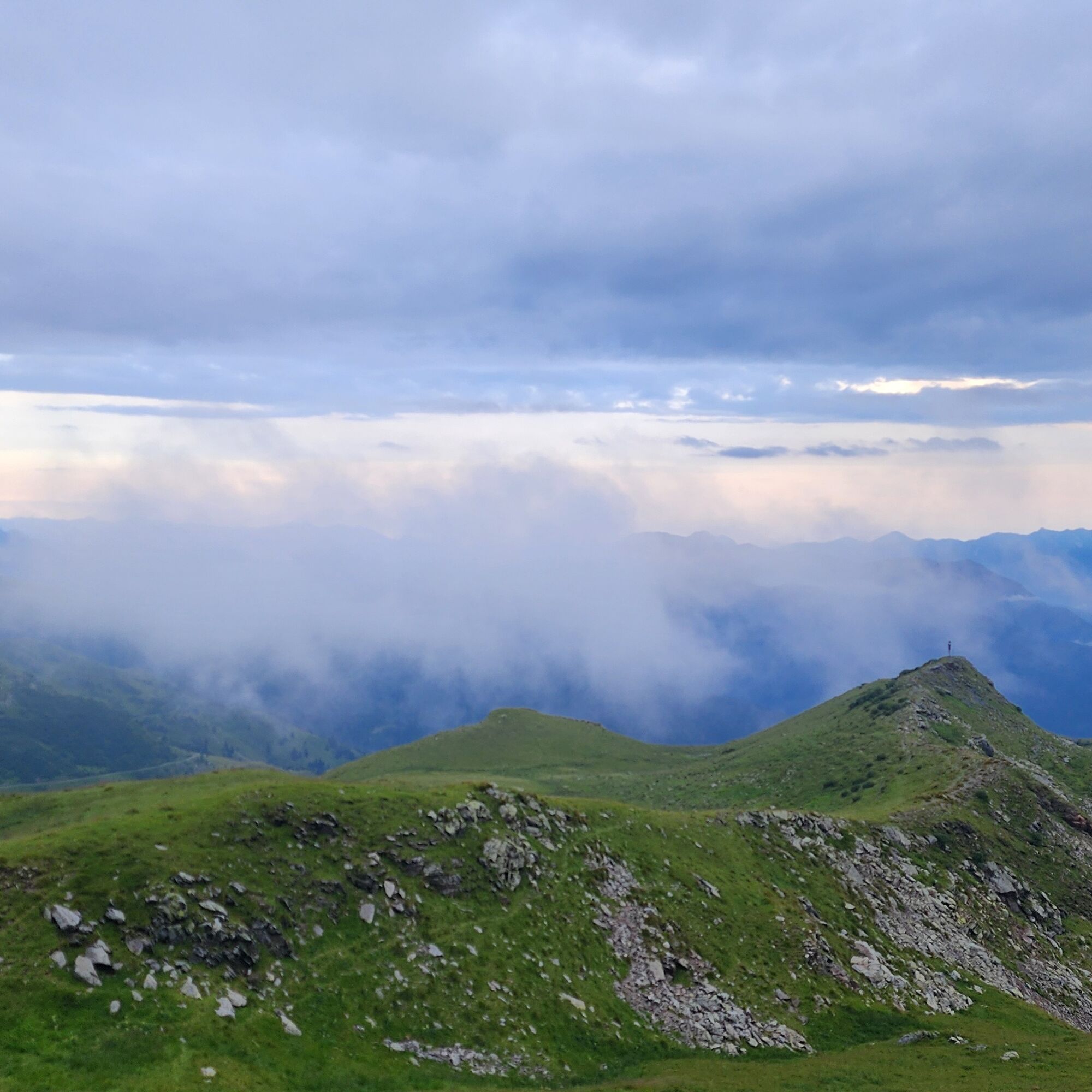
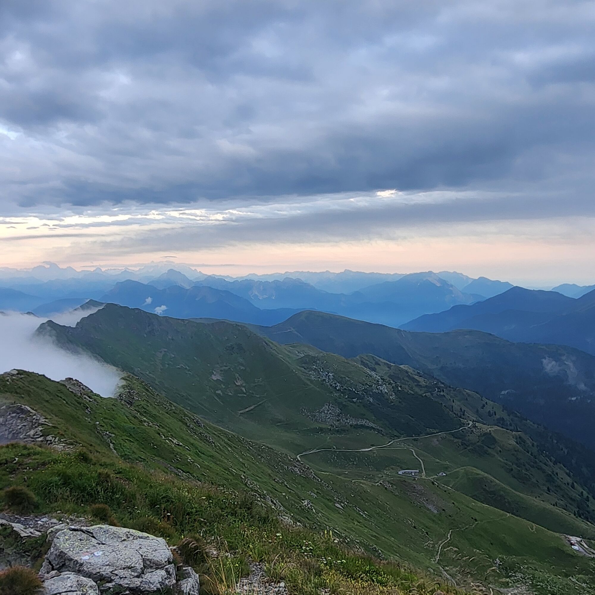
The hike starts from the parking lot along the Panoramica delle Vette near the access road to Rifugio Chiadinas (1934 m), where we join the trail 151 signpost. The path climbs without too much steepness along the southern side of Crostis; after the first climb, it crosses a grassy basin and then gains elevation to a junction (2110 m, on the left you can detour two hundred meters to the summit of a small panoramic knoll (2116 m). The route towards Monte Crostis instead turns sharply north and begins to climb the ridge leading to the summit. The trail is never difficult and in about 40 minutes of walking we reach the summit of Monte Crostis (2250 m); cross and summit logbook, spectacular panorama to the north. Return by the ascent path.


Áno
Áno
Normal hiking equipment
T1
Recommended period always, in the absence of snow
If you want to travel the Panoramica delle Vette in the dark, this short trip is recommended for sunset: little effort uphill, and little descent to do with a headlamp.
Tested by Bagaglio Leggero
Aktivity počas prehliadky

Obľúbené výlety v okolí
-
4,5
Karnischer Höhenweg – Etappe 4: Hochweißsteinhaus – Wolayersee Hütte
ťažkédiaľková pešia trasa 15,9 km -
4,5
Obergail - Obergailer Alm - Obergailer Lake - Enderberg hut - Source for Health & Peace - Madonna circular hiking route - Obergail
strednáTuristika 11,4 km -
4,4
Mountain bike route from the Hubertus Chapel to the Wolayersee
ťažkéMountainbike 9,06 km -
4,8
Karnischer Hauptkamm - Hohe Warte 2.780m - Hike and Bike
ťažkéHorská turistika 19,5 km -
4,6
Bread & Morende Trail
strednáTuristika 11,3 km -
3,7
Cellon-Stollen und Senza Confini auf den Cellon und Steinberger Weg zum Abstieg
strednáVia ferrata 7,09 km -
4,0
Circular hike Obergail - Gamskofel - Obergail Alm - Obergail
strednáTuristika 13 km -
5,0
Plöckenhaus - Polinik - Plöckenhaus
ťažkéTuristika 10,9 km -
5,0
Valentin-Wolayersee-Runde
strednáTuristika 12,4 km -
3,2
Wolayersee
strednáTuristika 7,90 km
Turistika a stopovanie


Nenechajte si ujsť ponuky a inšpiráciu na ďalšiu dovolenku
Vaša e-mailová adresa bol pridaný do poštového zoznamu.





