






Monte Kolovrat loop from Rifugio Casoni Solarie

Úroveň náročnosti: T2
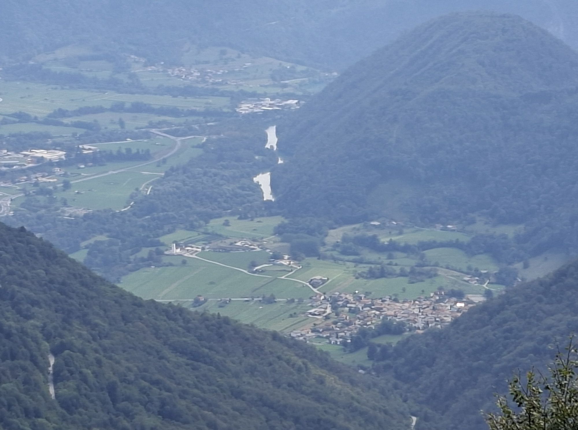
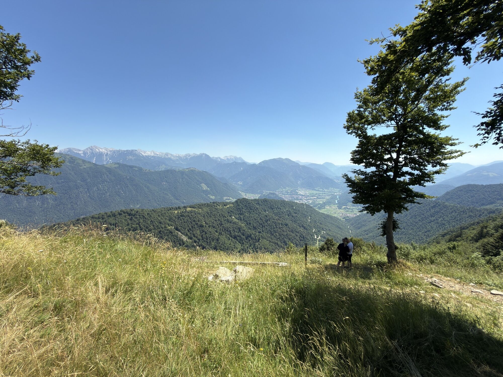
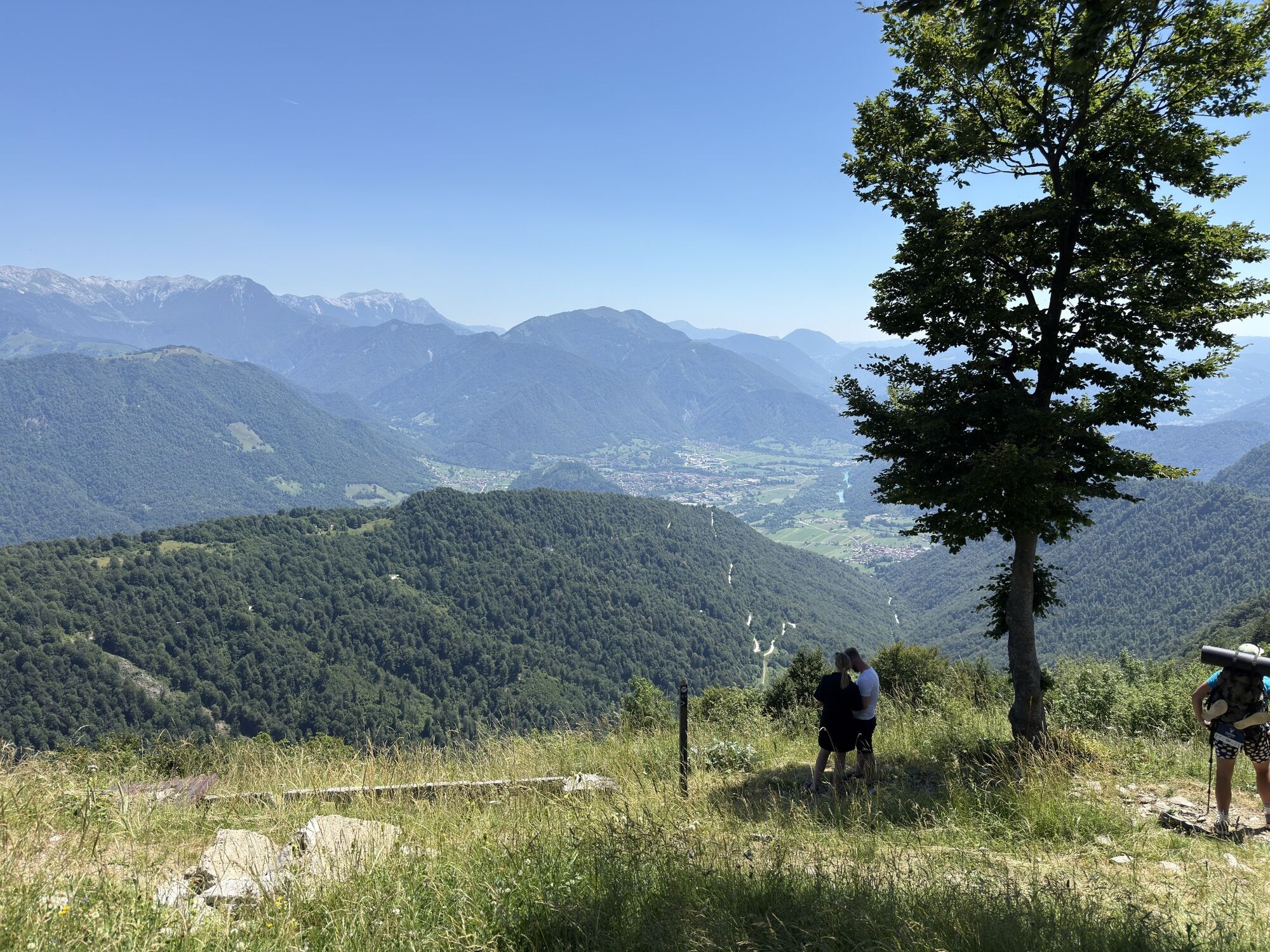
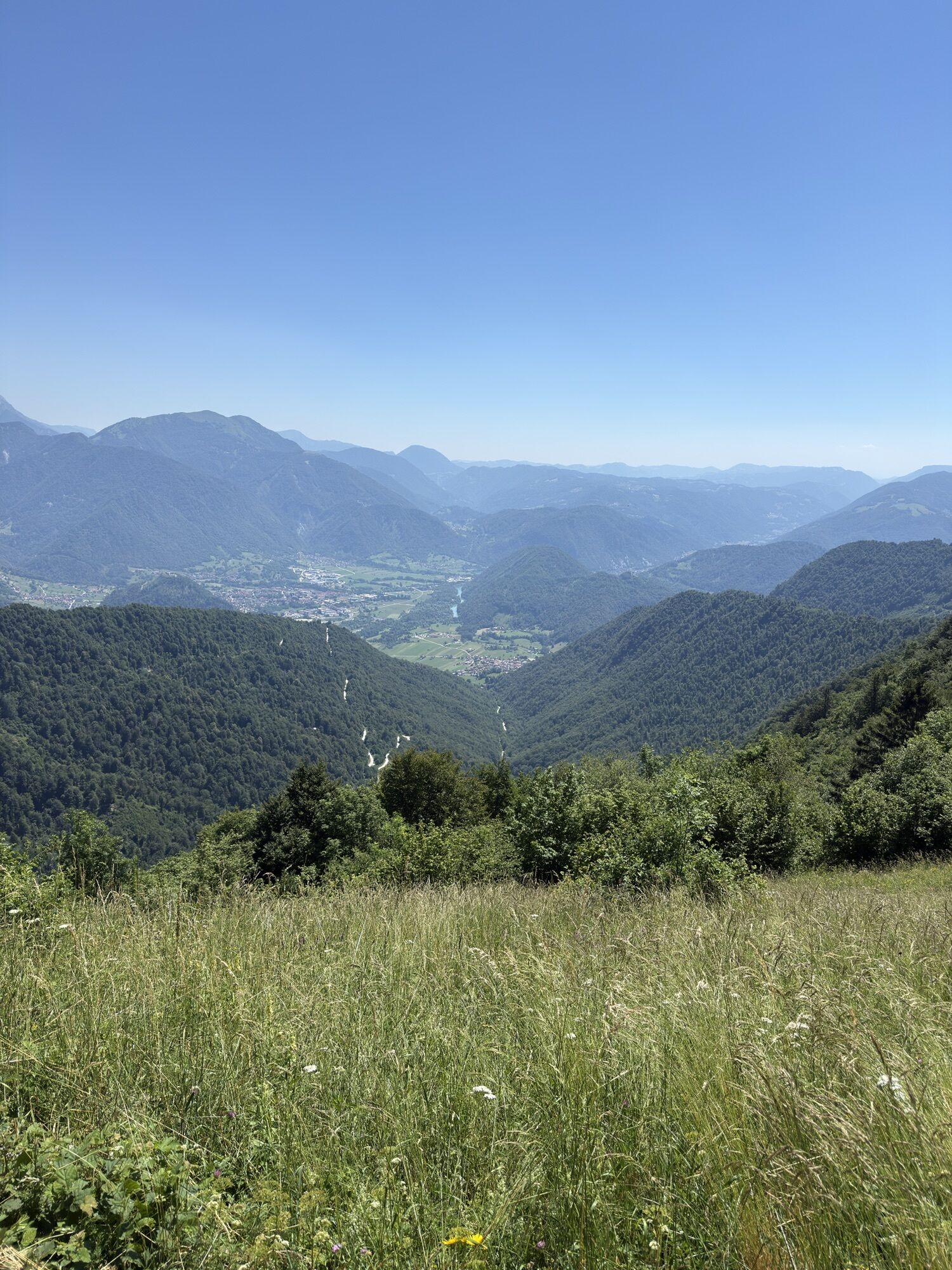
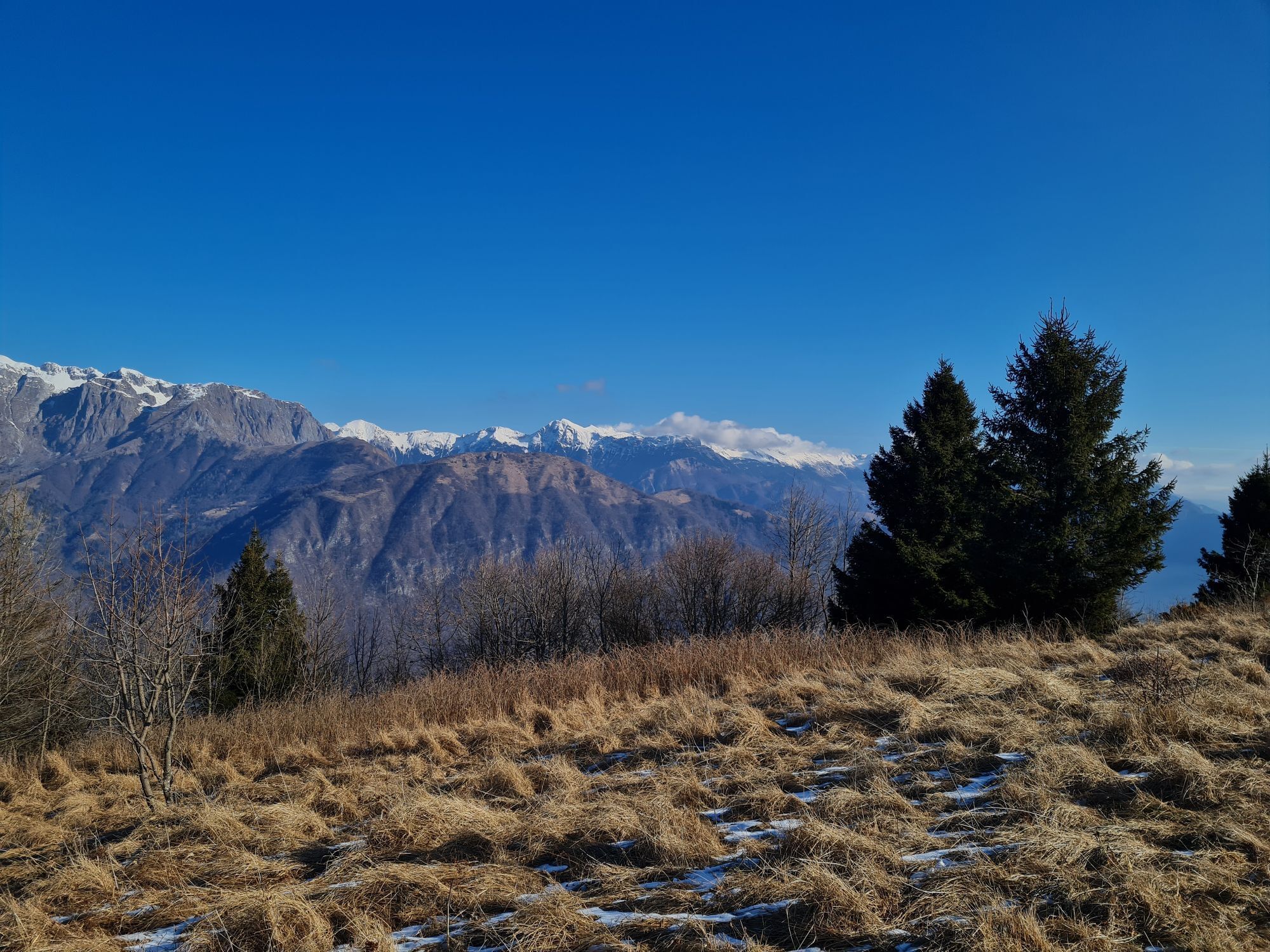
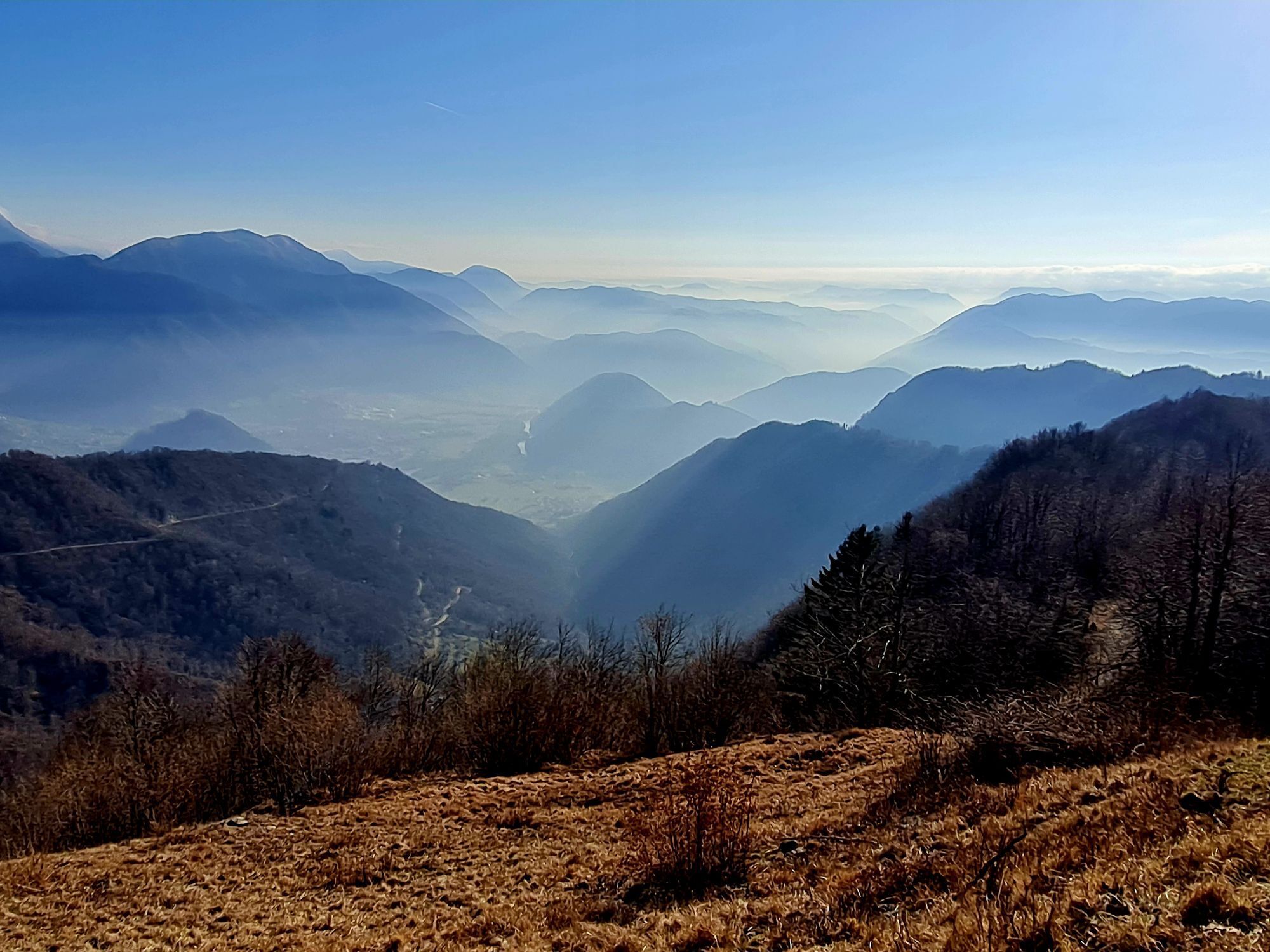
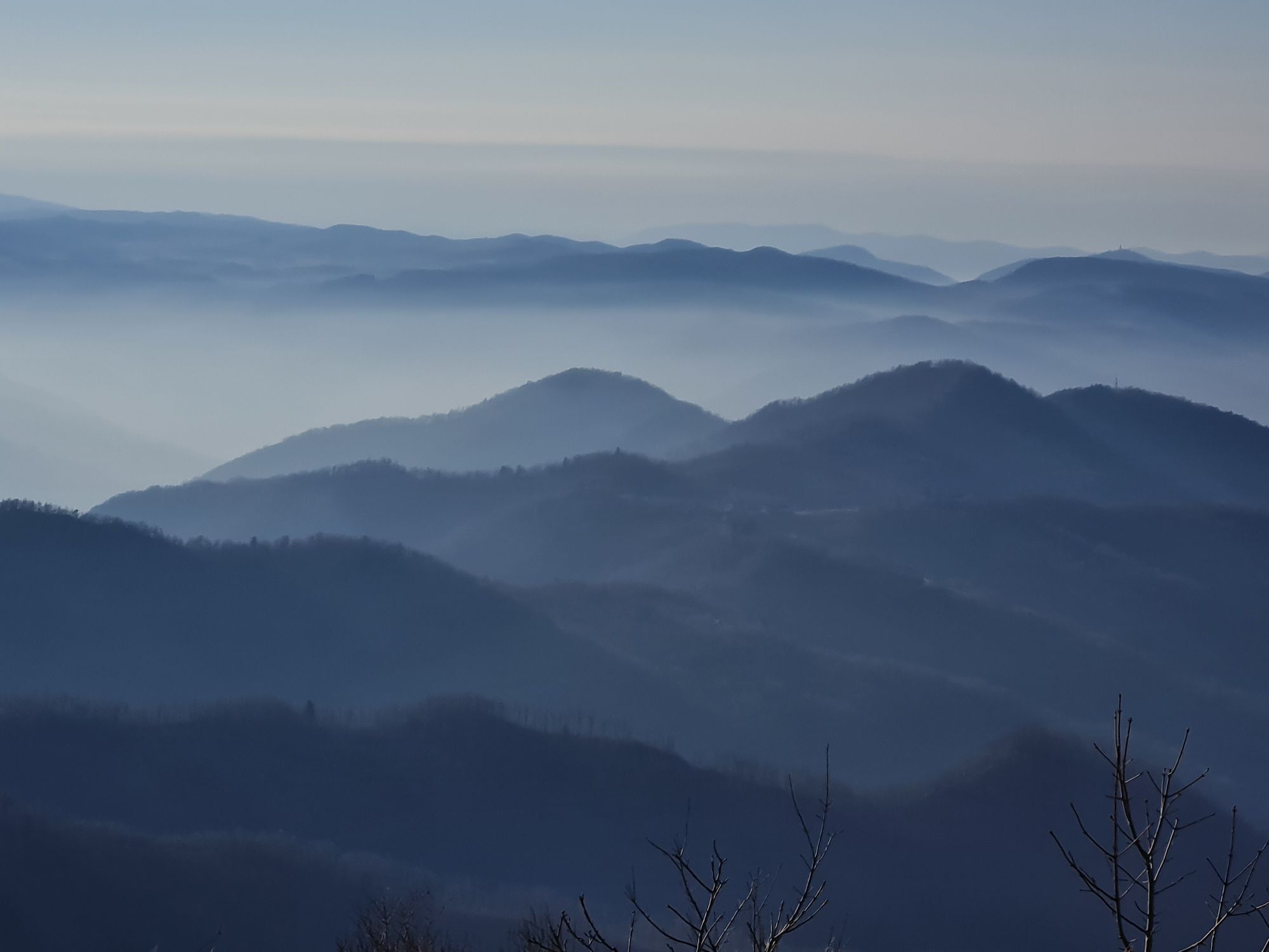
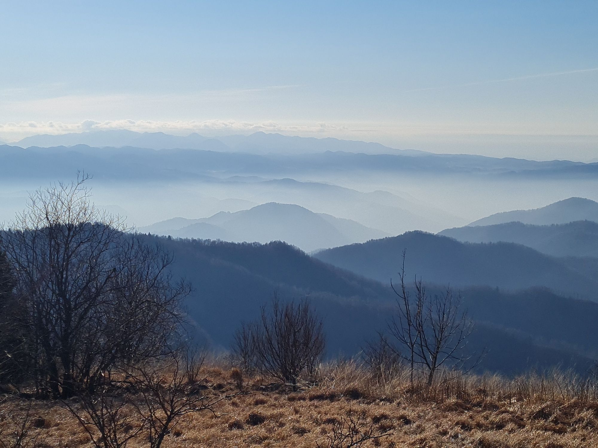
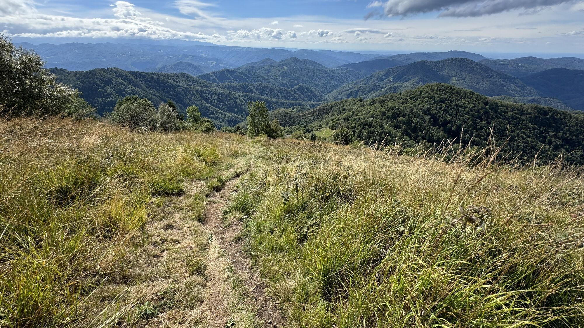
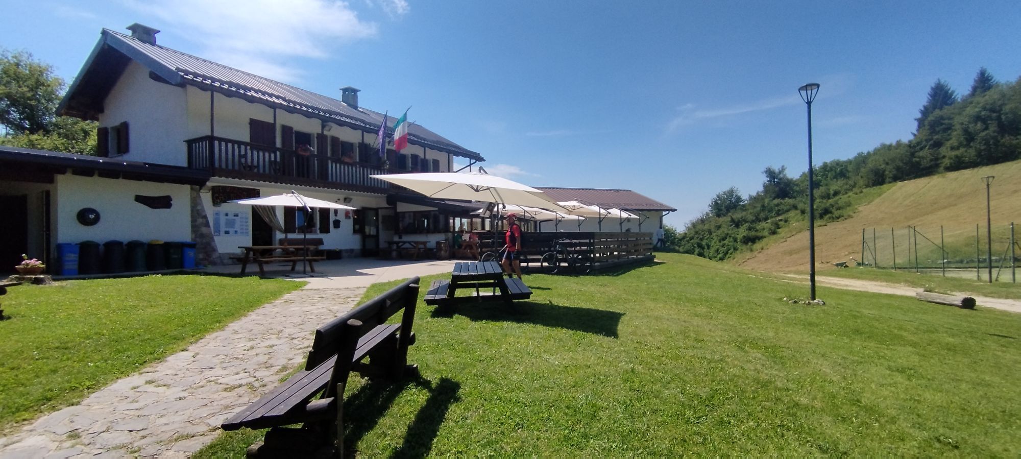
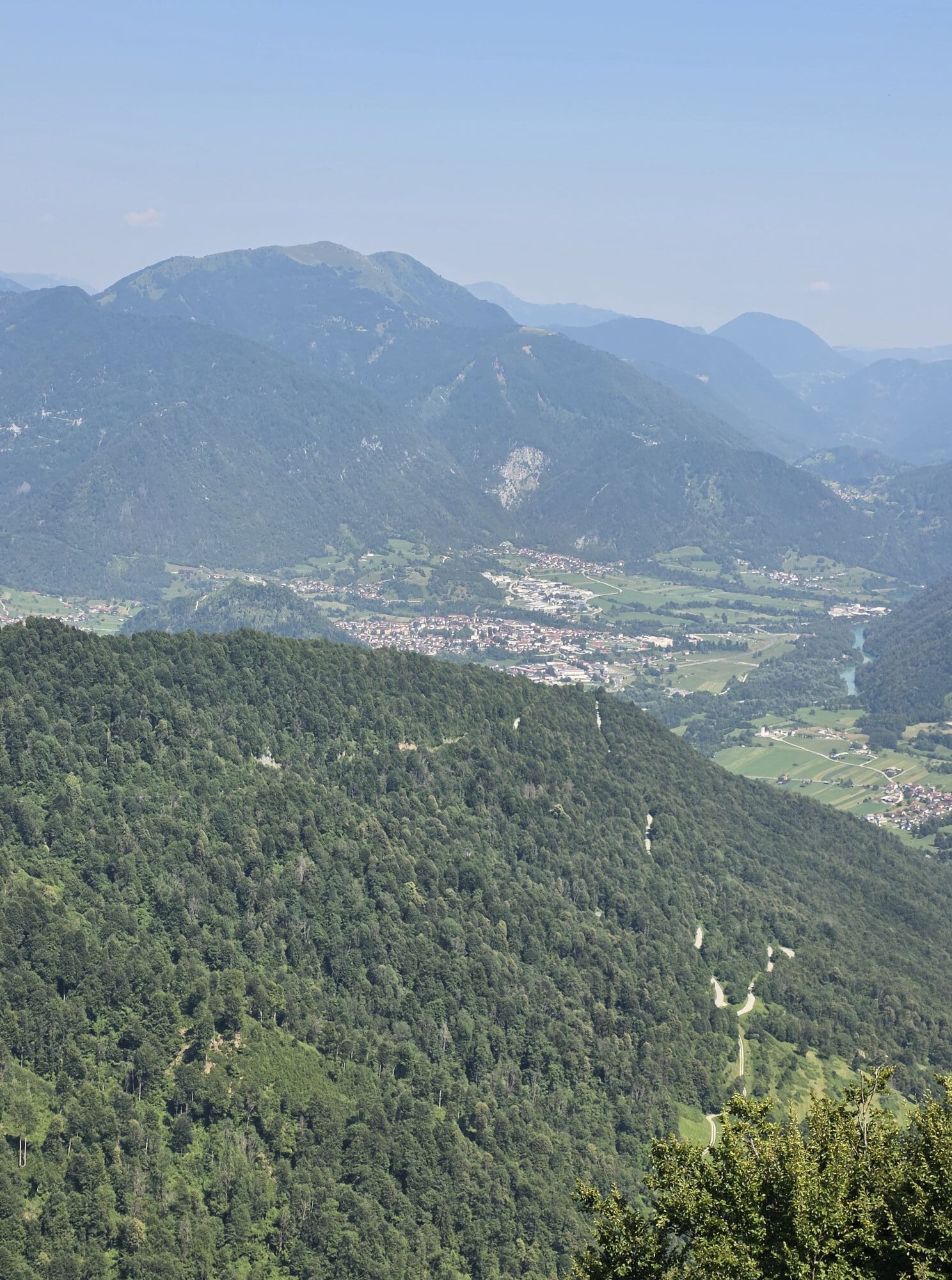
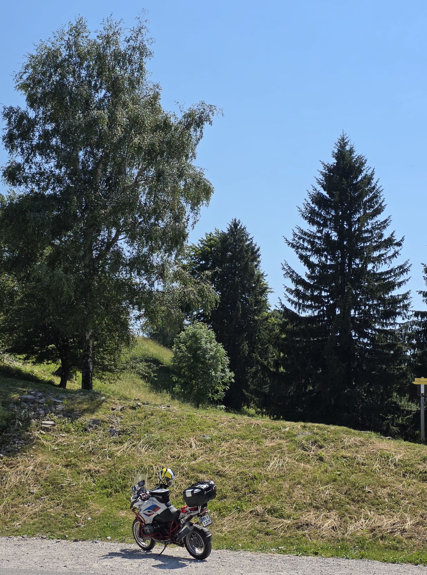

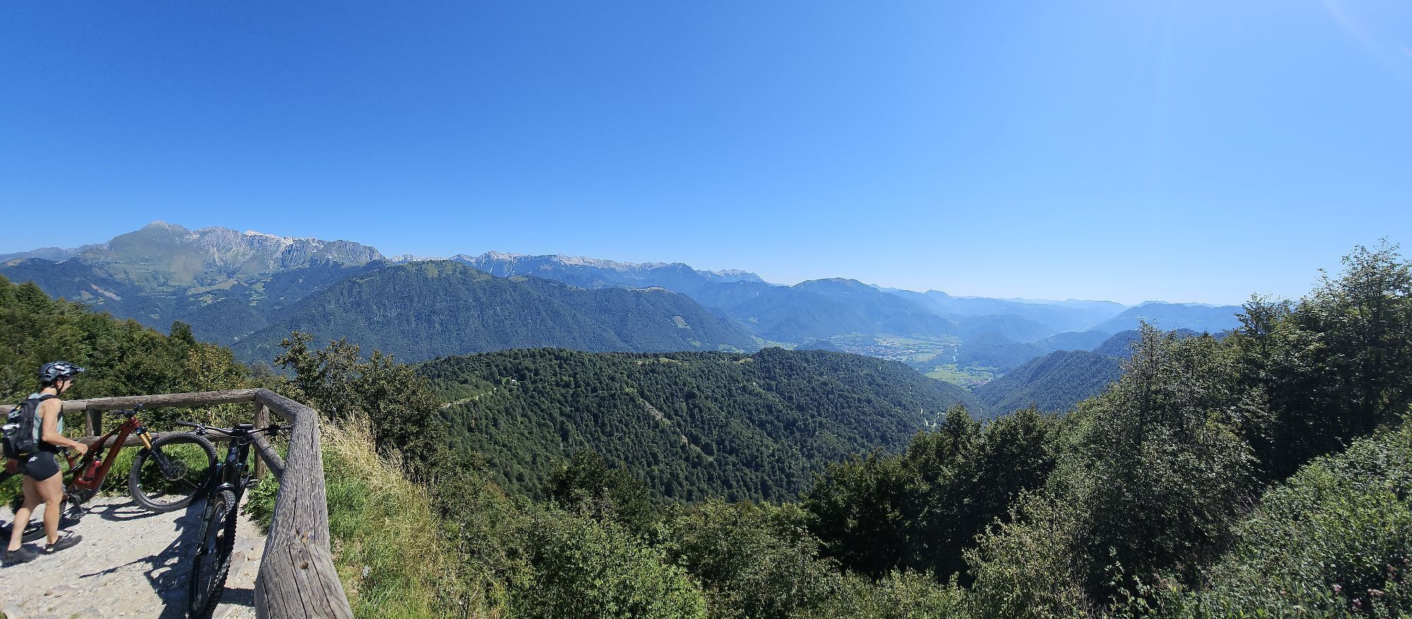
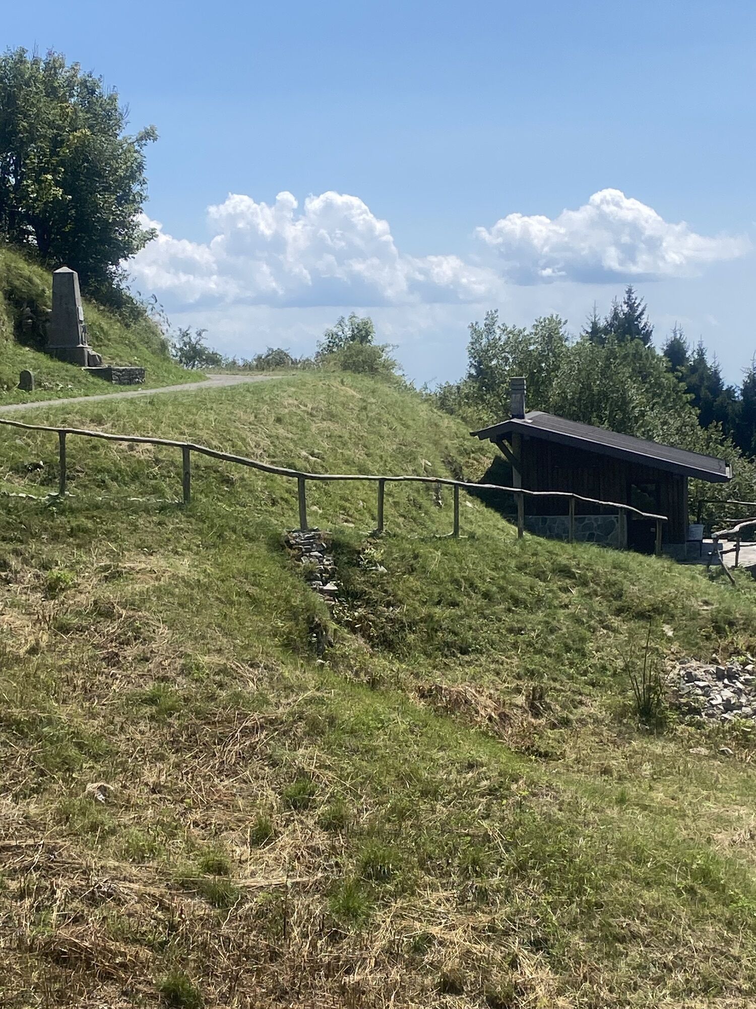
This evocative hiking loop combines immersion in the historical events of October 1917 and, more generally, of the entire Great War with a natural environment offering incredible, literally 360°, panoramic...
This evocative hiking loop combines immersion in the historical events of October 1917 and, more generally, of the entire Great War with a natural environment offering incredible, literally 360°, panoramic views.
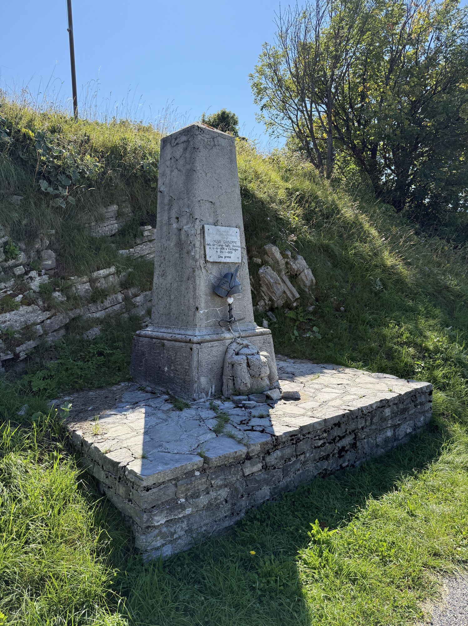
From the very first meters of the route, starting from Rifugio Casoni Solarie, the immersion begins: you immediately pass by the monument to Riccardo Giusto, the first Italian casualty of the war, a name you will often see on various historical information panels along the trail.
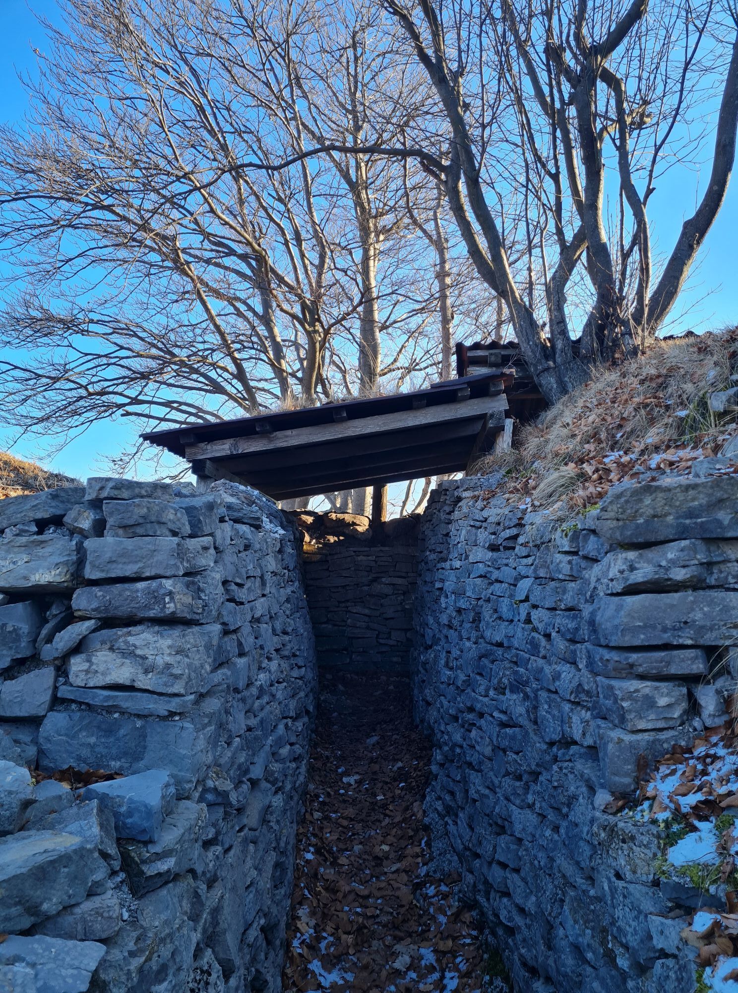
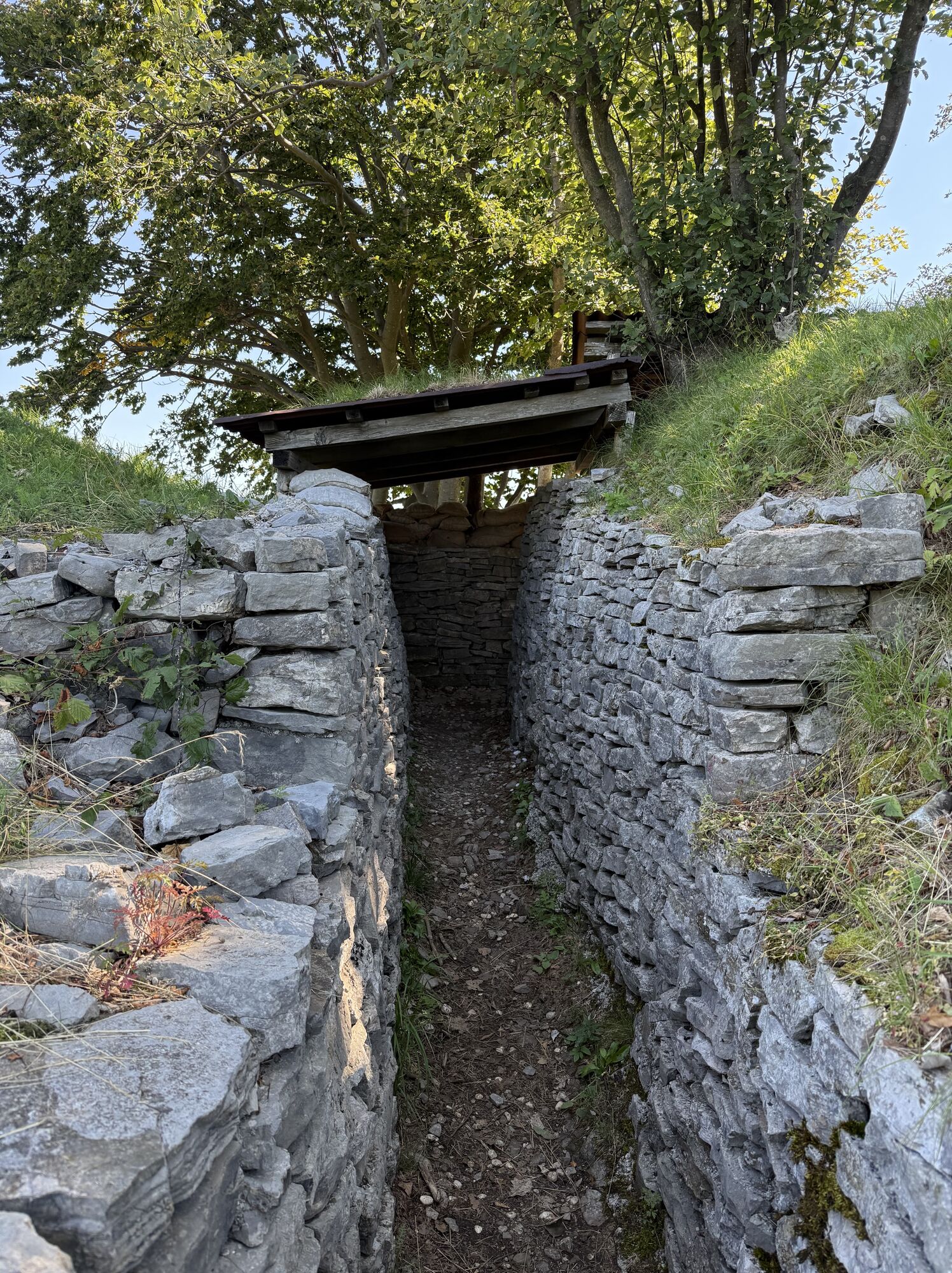
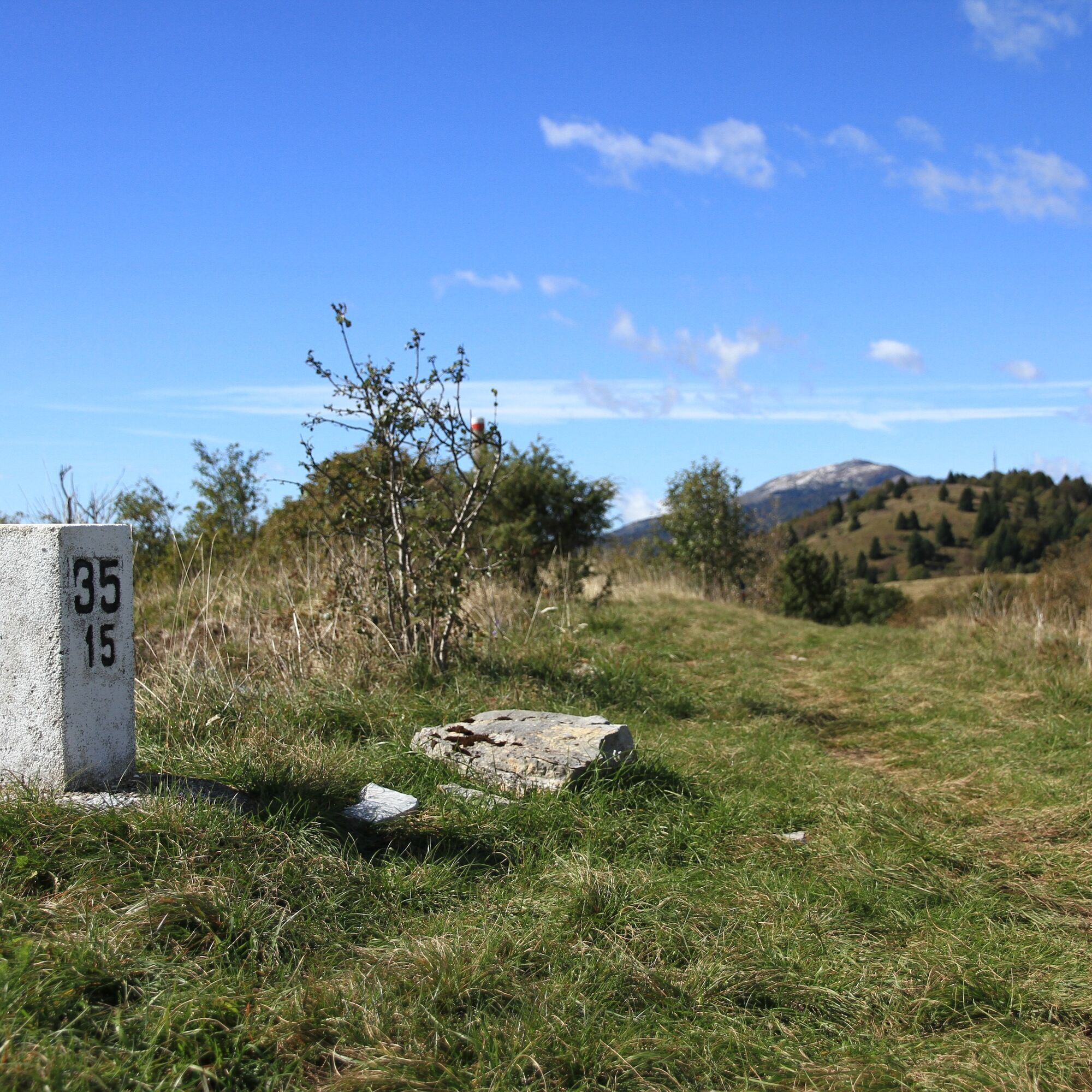
Next, you reach the actual combat sites, from Monte Klabuk to Monte Nagnoj. In particular, at Passo Zagradan, you can visit the open-air Kolovrat Museum on the Slovenian side of the border, which features significant reconstructions of the trenches used by the Italian lines. On the Italian side, trenches can be seen in their current state, more than a hundred years after the events that made them famous. These will accompany you along the entire path up to Monte Nagnoj. Near Passo Zagradan, the breakthrough of the third Italian defensive line by Austro-German forces began. At this stage, Lieutenant Rommel also operated, commanding a small group of men who proceeded to Livek and then set out to conquer Matajur, which took place on October 26, 1917.
From Monte Nagnoj you can choose to extend your hike by about another kilometer, thus two kilometers total including the return, to reach Monte Kuk, the westernmost summit of Kolovrat, completing the entire plateau.
There are multiple options for the return trip; here we indicate taking the former military road on the Italian side. Other options are the trail through the woods starting from Bivacco Zanuso, which will lead again to Rifugio Casoni Solarie, and finally the paved road on the Slovenian side, which is probably the worst option as it involves walking several more kilometers on asphalt.
Reference topography: Foglio Tabacco 041. Suitable mountain footwear and clothing are recommended, as well as water and food supplies.

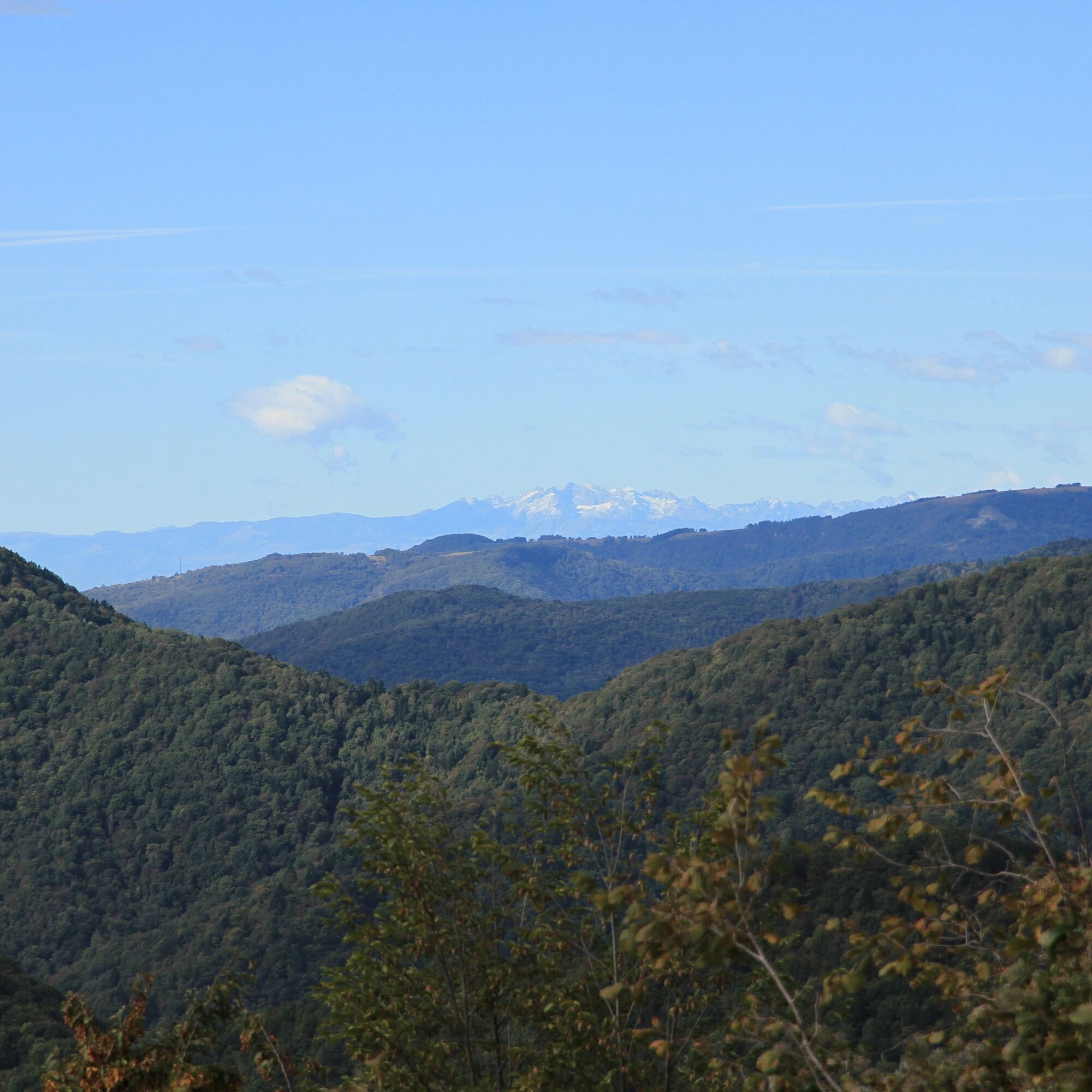
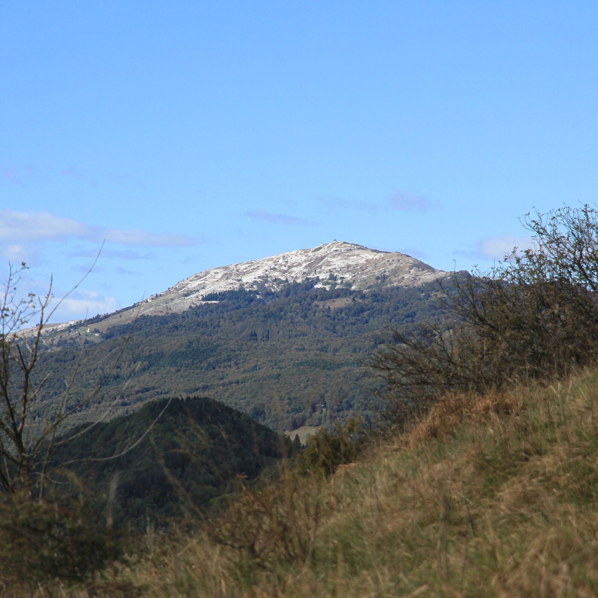
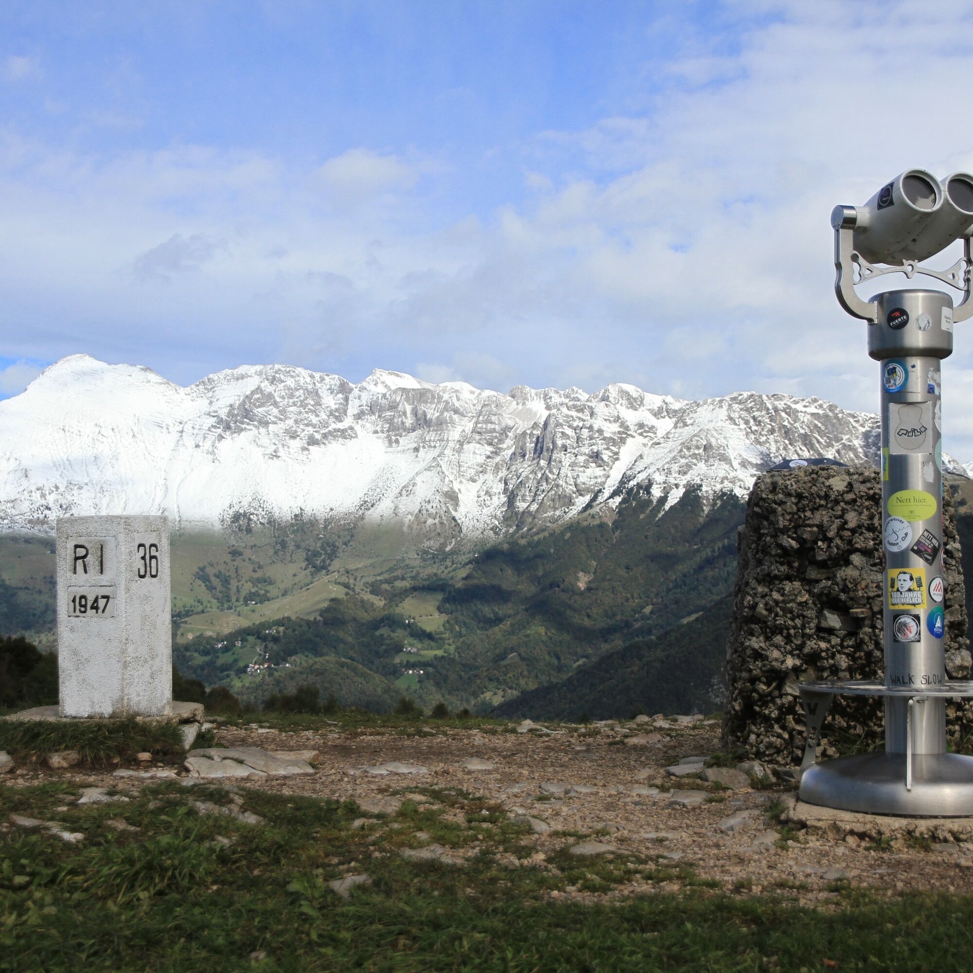
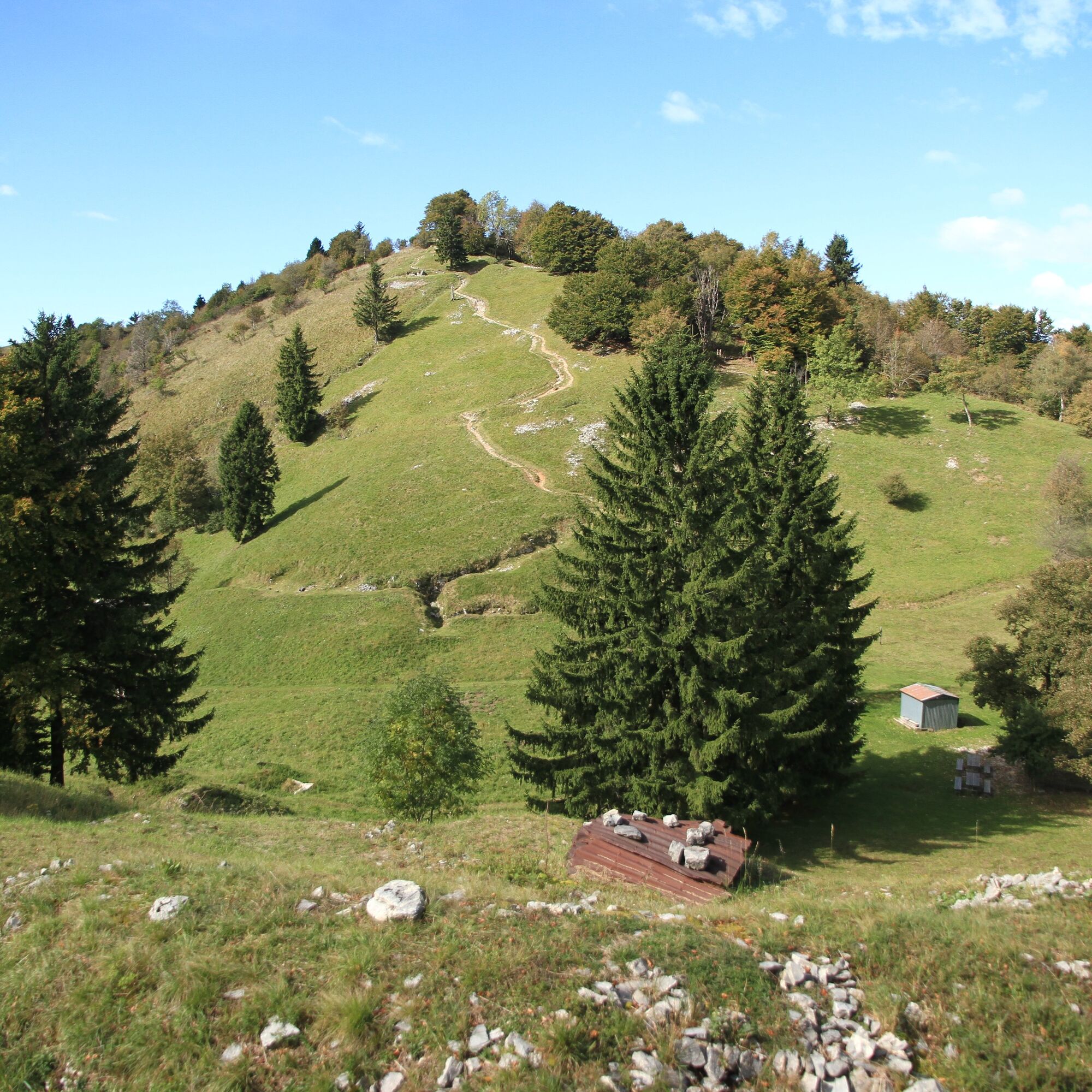
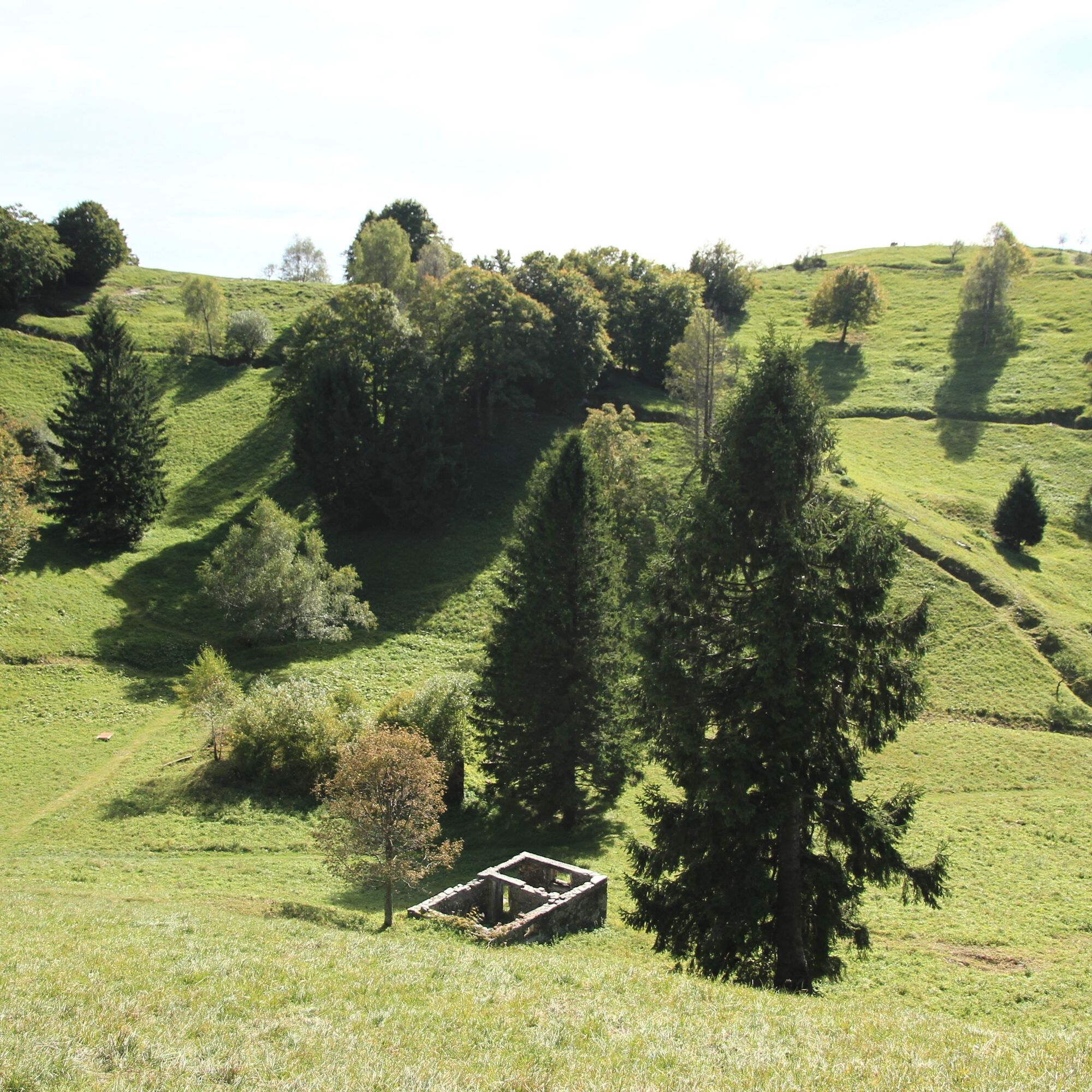
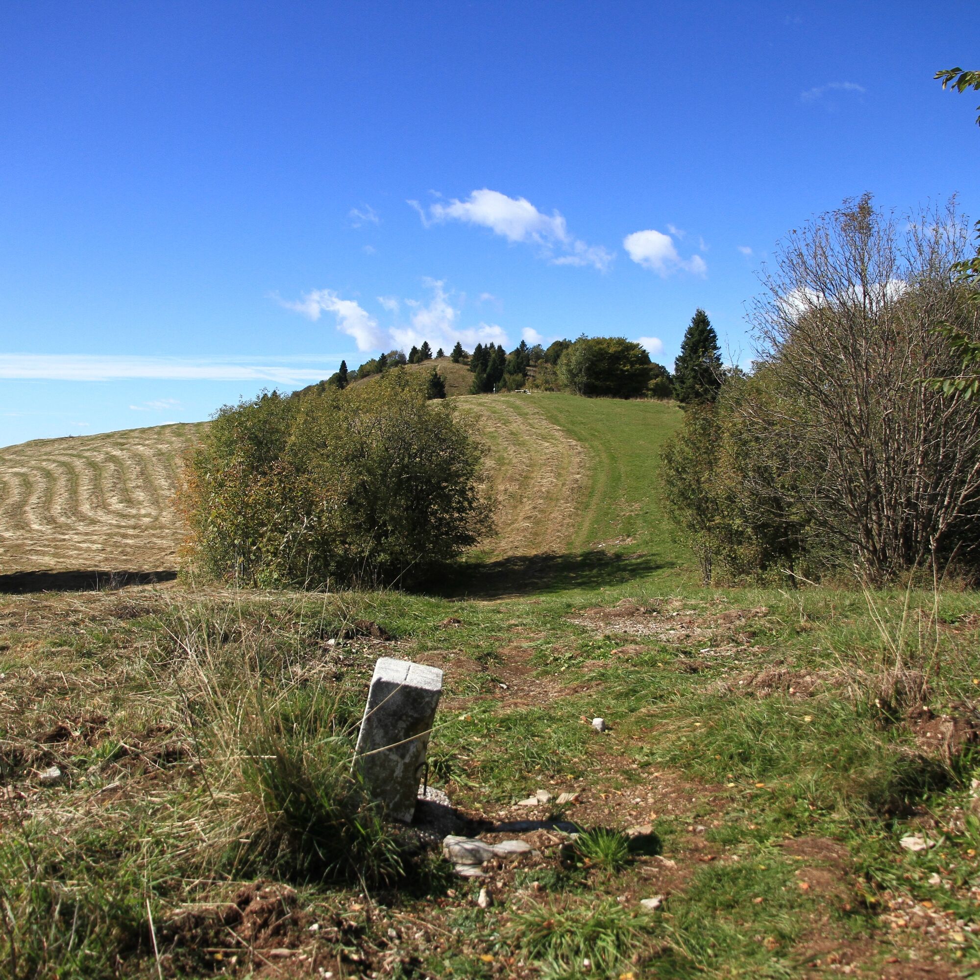
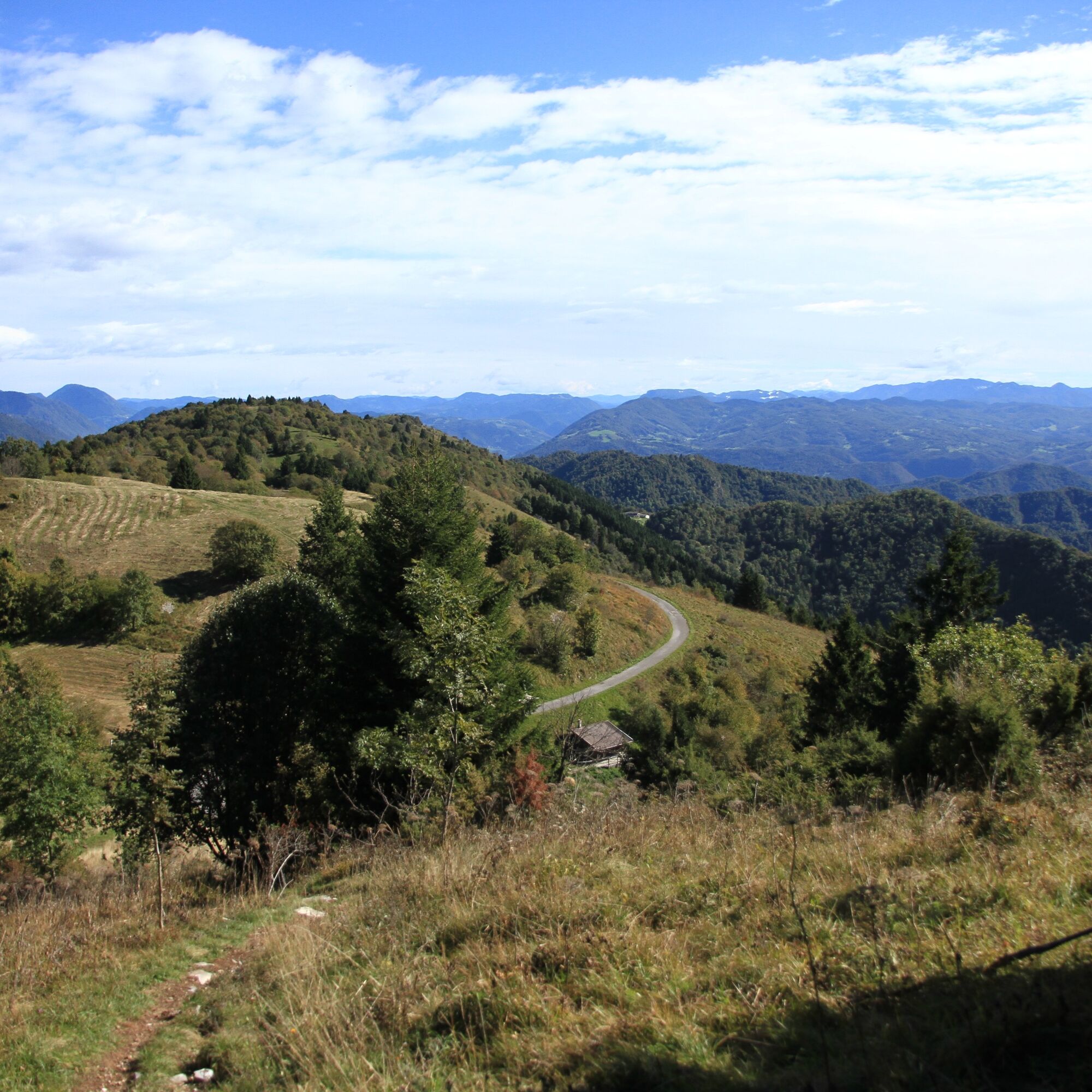
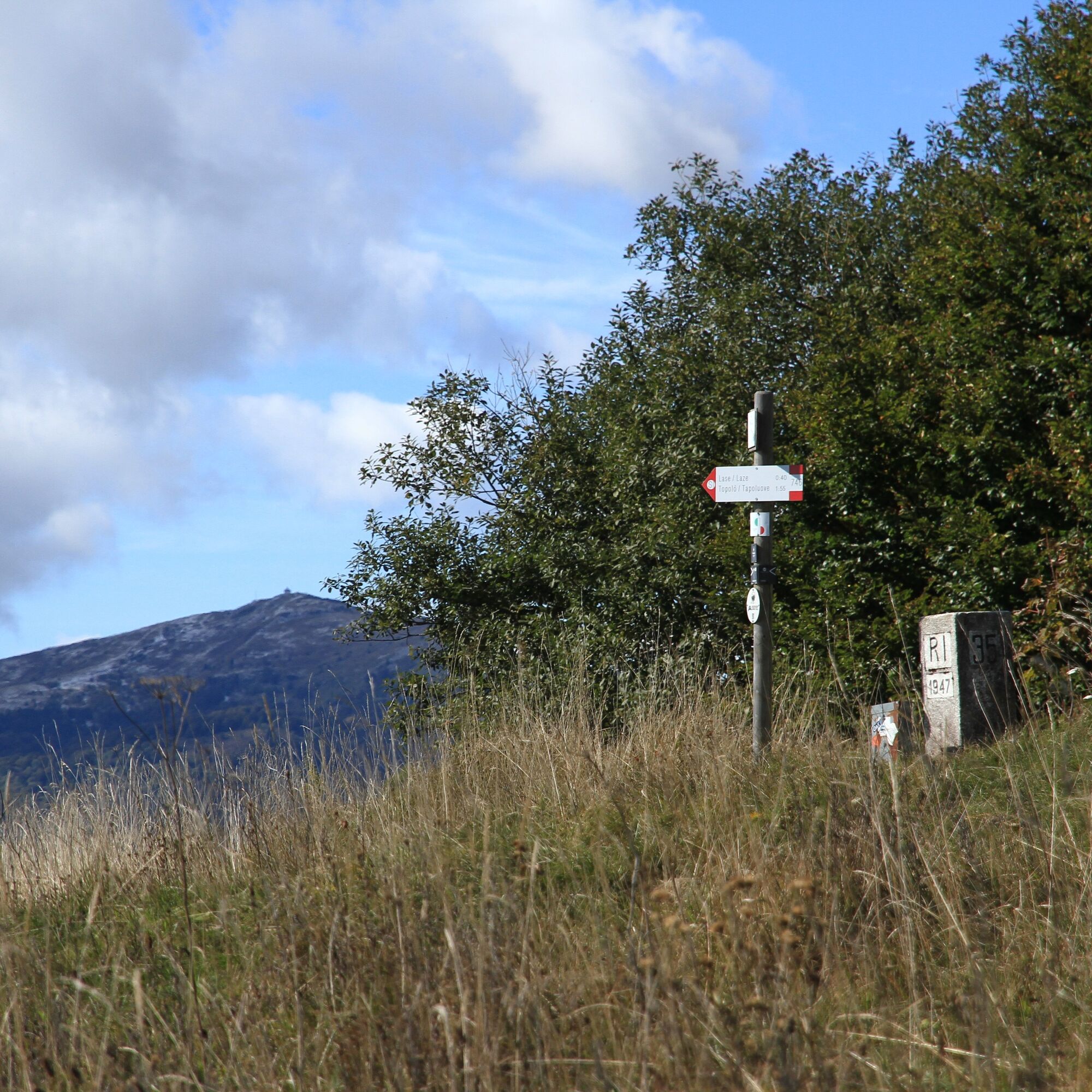
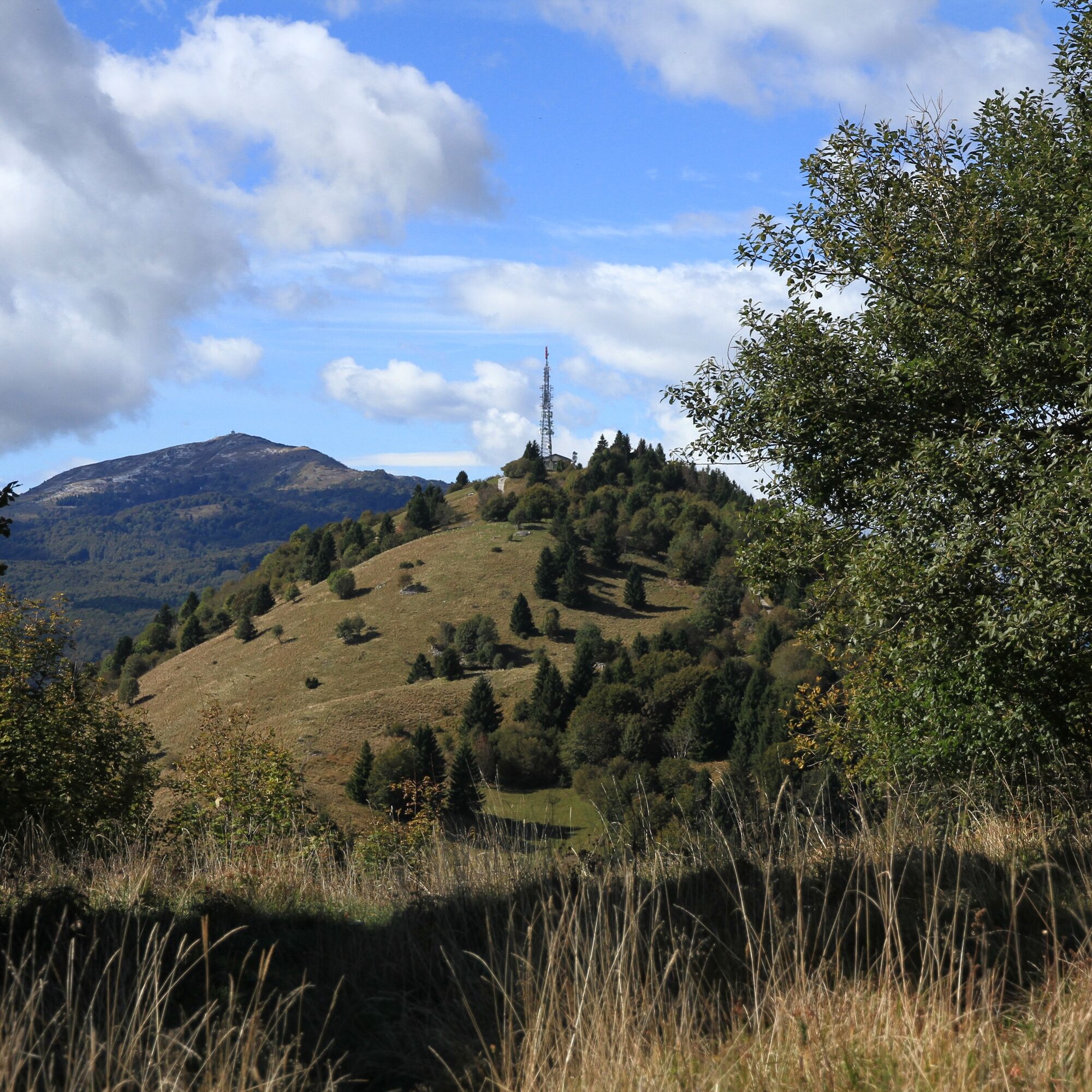
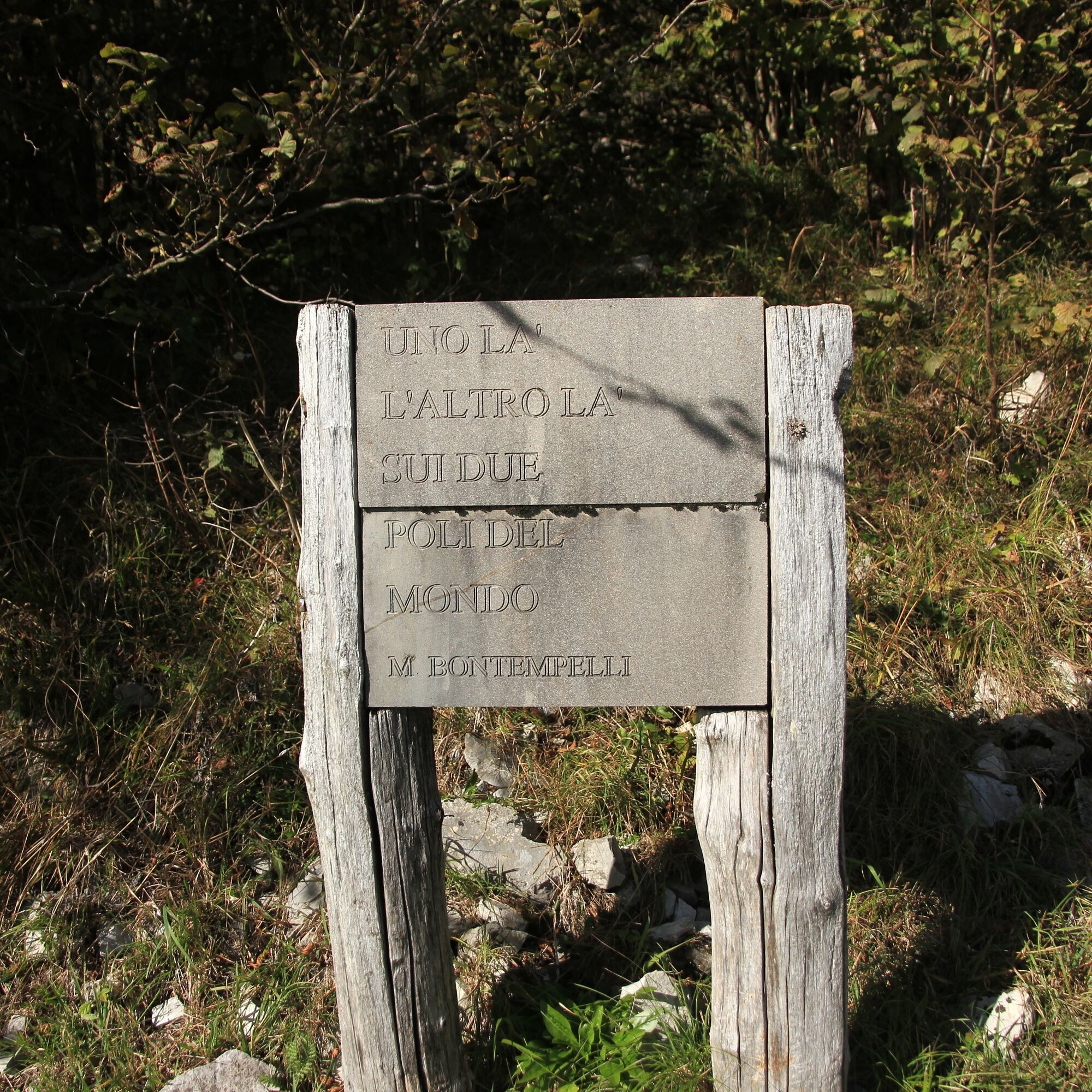
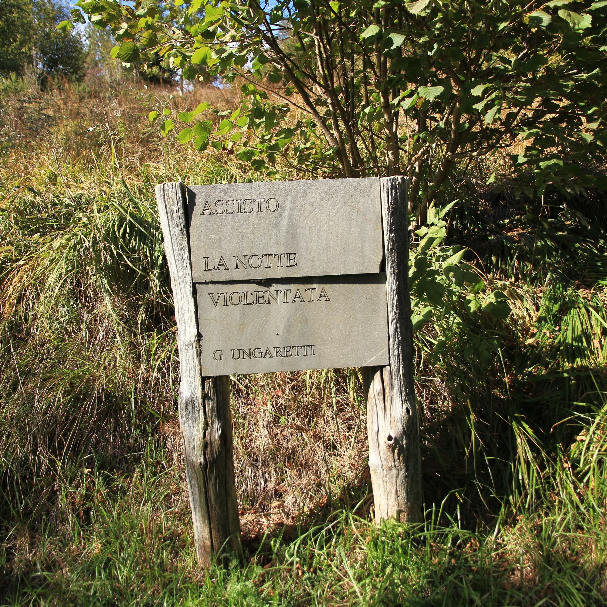

From Rifugio Casoni Solarie follow the CAI 746 trail. Upon reaching Monte Klabuk, you can choose between two alternative routes depending on how much time you want to spend visiting the defensive structures at Passo Zagradan. In any case, after passing this point, stay on trail 746 along the Kolovrat ridge up to Monte Nagnoj. From here, you can continue along the ridge via the forest road to Monte Kuk or return on the Italian paved road. In this case, it is recommended to return via Passo Zagradan, as indicated on the route, to read the plaques with excerpts from poems written by poet-combatants. A third option is to stay on trail 746 until the junction for Solarie, which is located above Drenchia Superiore. A variant of this option is to join this trail from Bivacco Zanuso, after walking about one kilometer on the paved road. Finally, there is also the option to return via the Slovenian road, heading toward Passo Solarie.
Áno
Áno
Áno
Áno
Hiking boots, technical mountain clothing.
Nothing particular to report, except the need to wear footwear and clothing suitable for the mountain.
From Udine follow the signs for Cividale del Friuli/Slovenia, then turn towards San Leonardo and Clodig. From Clodig, signs for Kolovrat and Passo Solarie are already indicated and should be followed to the destination.
The TPL FVG line 315, connecting Cividale del Friuli to Cras, stops at Crai di Drenchia, near the junction leading to Rifugio Casoni Solarie, about two kilometers before it. Schedules are available at www.tplfvg.it.
The starting point has ample parking.
T2
There are no springs or refuges along the route, except of course the one at the starting point, so it is recommended to carry water and food with you.
Choose a particularly clear day, as the view is unobstructed.
The months of September and October are particularly ideal.

Obľúbené výlety v okolí
-
4,6
Kozjak Wasserfall und Soča
svetloTuristika 5,18 km -
3,9
Tolminka Klamm
svetloTuristika 1,90 km -
3,4
Auf den Krn
strednáTuristika 5,90 km -
4,7
Kobarid - Stari grad - Restaurant Kamp Lazar - Veliki Kozjak
strednáTuristika 8,98 km -
4,6
Krnska jezera
strednáPrechádzka 12,4 km -
3,2
Slap Kozjak (Wasserfall)
svetloTuristika 3,40 km -
4,0
Matajur
strednáMountainbike 24,8 km -
4,0
JULIANA TRAIL: stage 13 Kobarid – Bovec
strednáTuristika 23,1 km -
5,0
Planina Kuhinja - Gomiščkovo zavetišče na Krnu - Krn - Batognica
strednáTuristika 14,4 km -
4,2
Kolovrat
strednáMountainbike 33,0 km
Turistika a stopovanie


Nenechajte si ujsť ponuky a inšpiráciu na ďalšiu dovolenku
Vaša e-mailová adresa bol pridaný do poštového zoznamu.





