







Cold War itinerary on Colle Pion
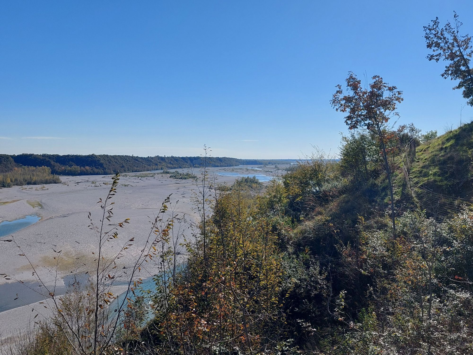
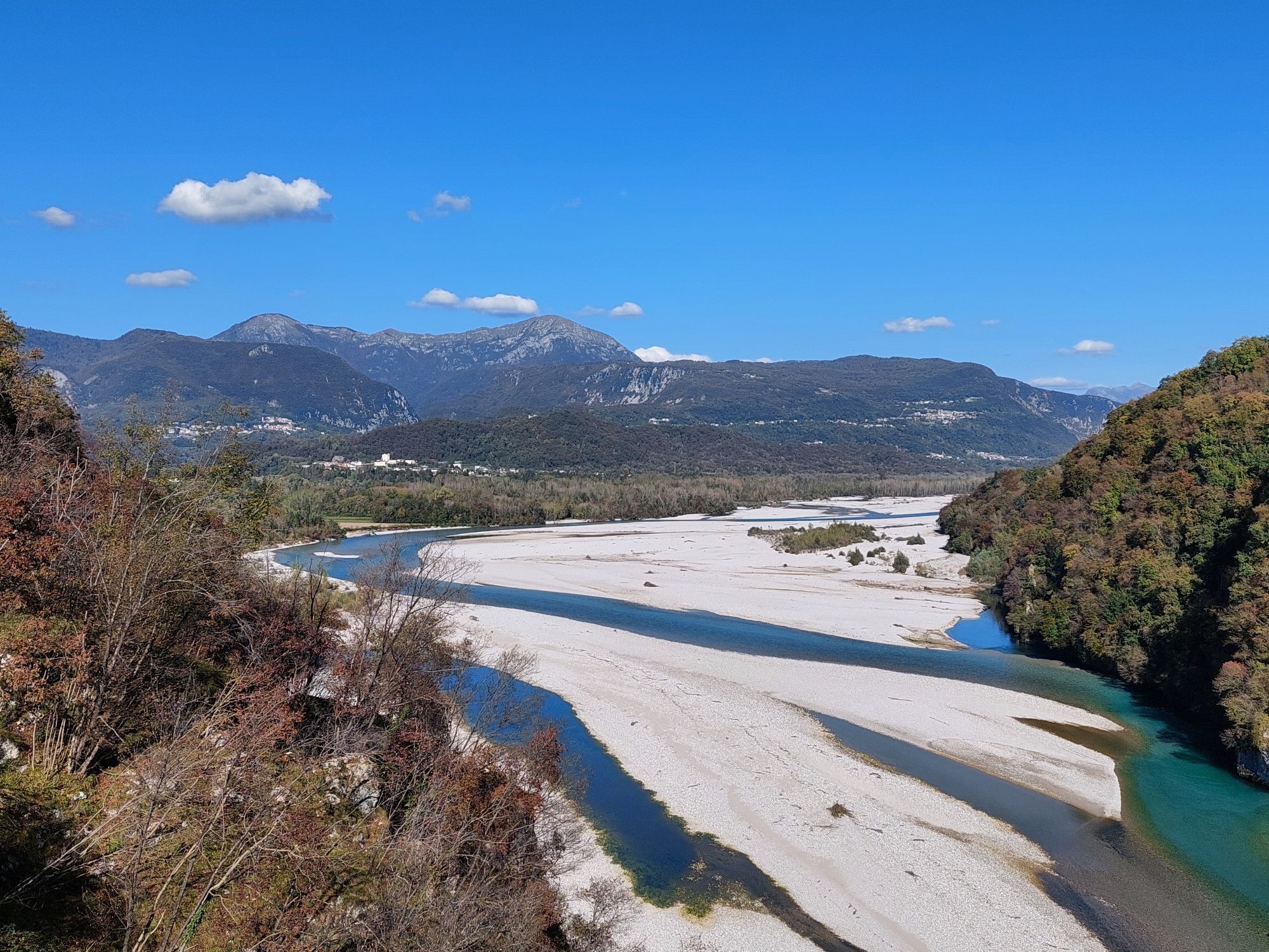
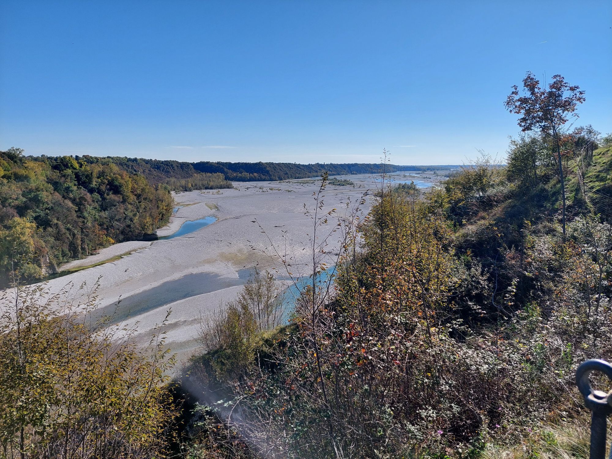
rom Colle Pion it is possible to oversee the Pinzano Bridge across the Tagliamento River, a site of crucial importance for crossing the waterway. For this reason, the area played a strategic role throughout...
A short distance from these imposing remains lies a hilltop where several examples of Cold War fortifications can still be seen: two machine-gun positions, one disguised as a rock formation and the other camouflaged as a prefabricated building, as well as the perimeter of the emplacement that once housed a tank. From here, visitors can also reach a scenic viewpoint overlooking the Tagliamento River.
Descending the western slope of the hill, with the river behind you, you will encounter another defensive structure. The route then retraces its steps towards the starting point, where taking the right-hand branch at a fork leads to the barracks that once housed the soldiers responsible for manning the fortifications.

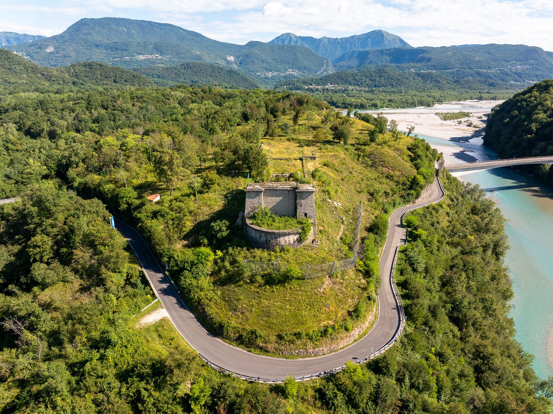
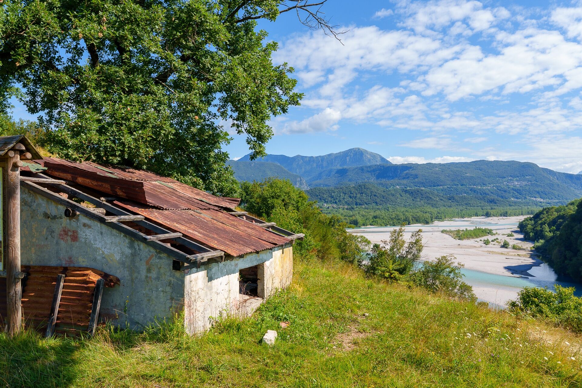
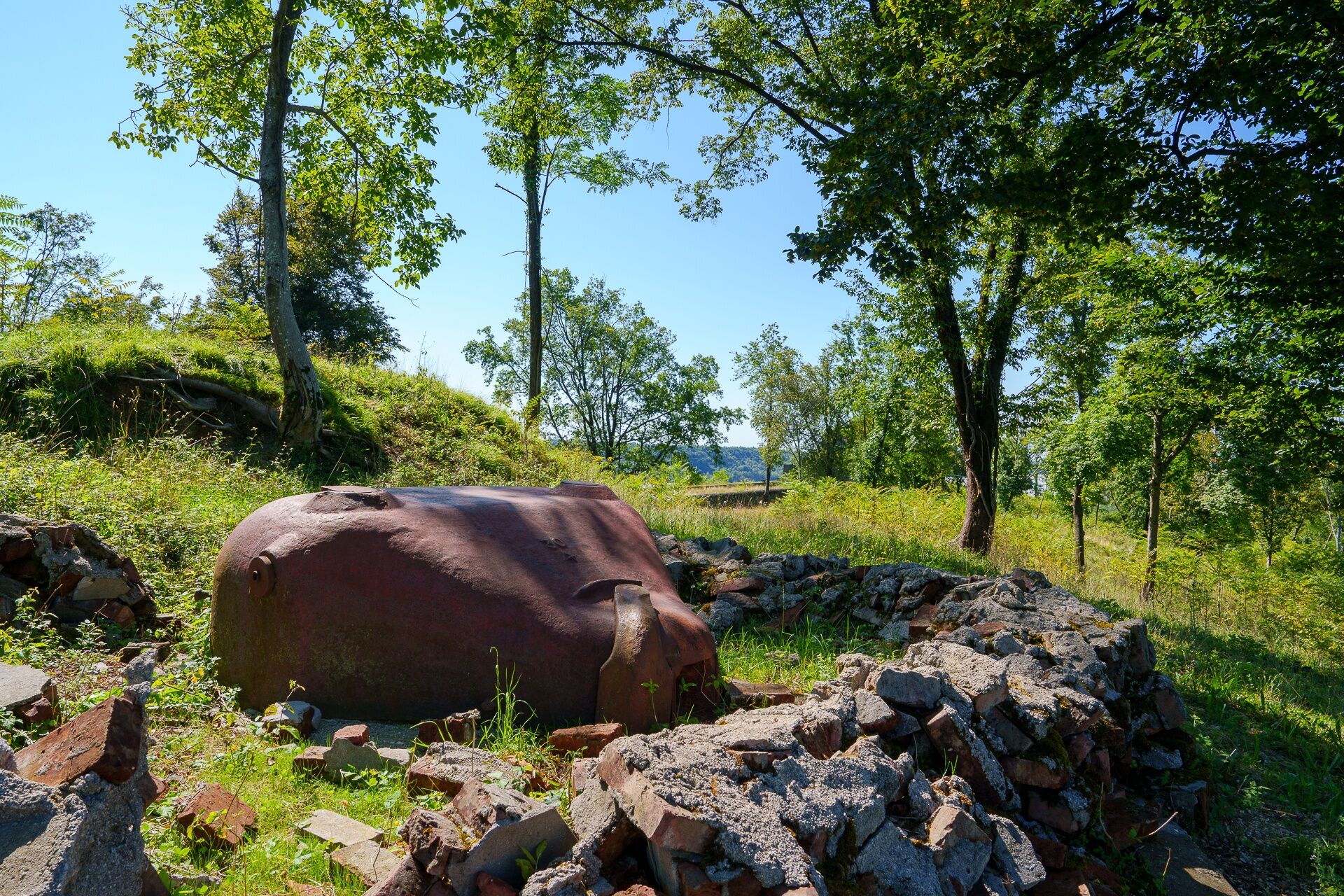

Descending along the western side of the hill, with the river behind you, you come across another fortification. Finally, retrace your steps towards the starting point; nearby, by taking the right-hand branch at the fork, you can reach in a few minutes the small barracks that housed the soldiers stationed to guard the fortifications.
Áno
It is also advisable to bring an adequate supply of water and food.
Pay attention to the weather forecast
In this case, it is necessary to exercise the utmost caution during the descent, which is absolutely not recommended in case of rain or slippery terrain.
Obľúbené výlety v okolí
-
4,8
FVG1 Cyklotrasa Alpe Adria (C100)
strednáDiaľková cyklotrasa 179,3 km -
4,8
Monte Cuar loop
strednáTuristika 7,26 km -
5,0
Venzone - Udine (C102)
strednáDiaľková cyklotrasa 56,7 km -
FVG3 Cyklotrasa Pedemontana (C300)
ťažkéDiaľková cyklotrasa 182,0 km -
Loop of Monte di Ragogna
strednáTuristika 11,9 km -
5,0
Monte Prat loop from Cornino
strednáTuristika 15,2 km -
Palcoda a Tamar, opustené dediny
strednáTuristika 8,38 km -
Prstenec stredovekých hradov (R036)
strednáDiaľková cyklotrasa 61,5 km -
Okruh San Daniele del Friuli (R007)
strednáDiaľková cyklotrasa 31,4 km -
Monte Valinis loop from Sottomonte
strednáTuristika 8,41 km
Turistika a stopovanie


Nenechajte si ujsť ponuky a inšpiráciu na ďalšiu dovolenku
Vaša e-mailová adresa bol pridaný do poštového zoznamu.





