


Circular hike on the Rappenstein
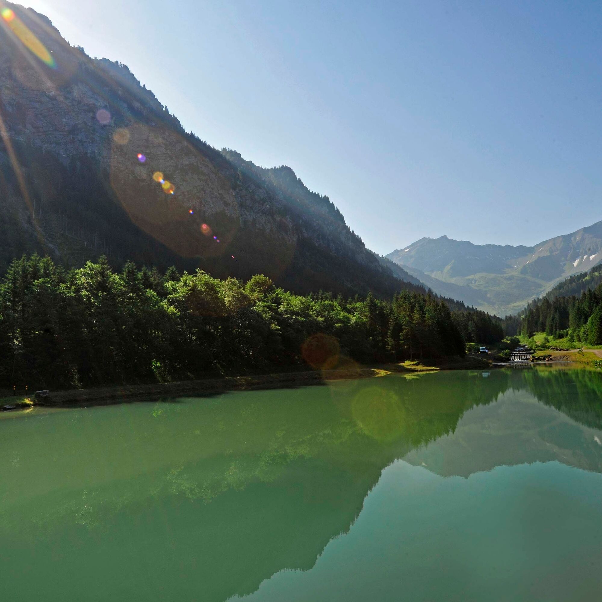
From Steg, the route first ascends to the mountain inn Sücka. At the Kulm, the hiking trail sharply branches left onto the ridge path along the main ridge of the Liechtenstein Alps. Partly through forest,...
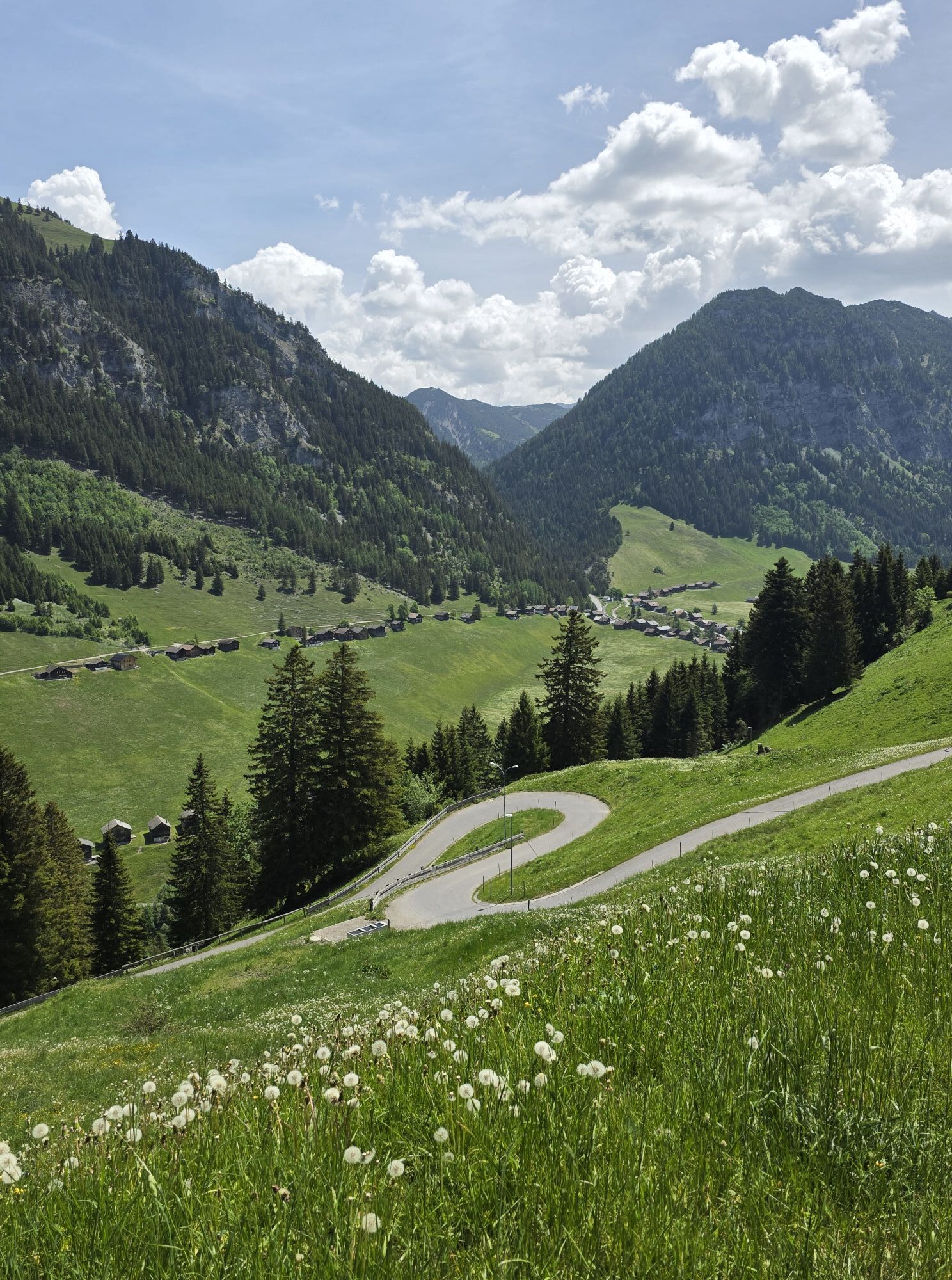
From Steg, the route first ascends to the mountain inn Sücka. At the Kulm, the hiking trail sharply branches left onto the ridge path along the main ridge of the Liechtenstein Alps. Partly through forest, partly with stunning panoramic views, the ridge path follows the ridge in constant ups and downs over Chrüppel and Heubüal.
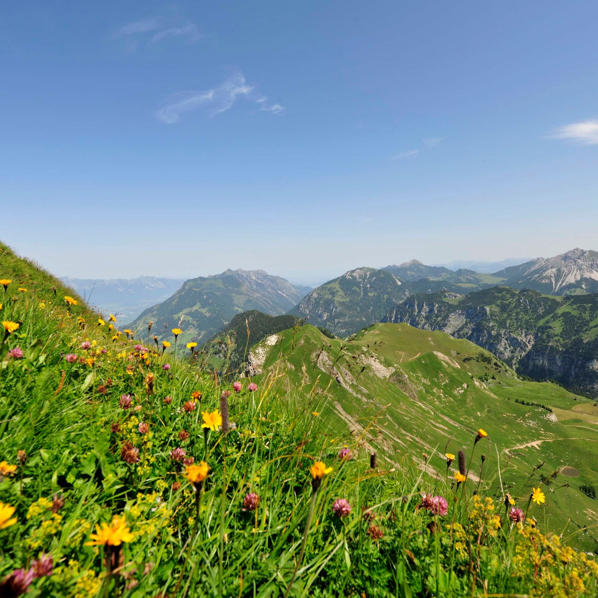
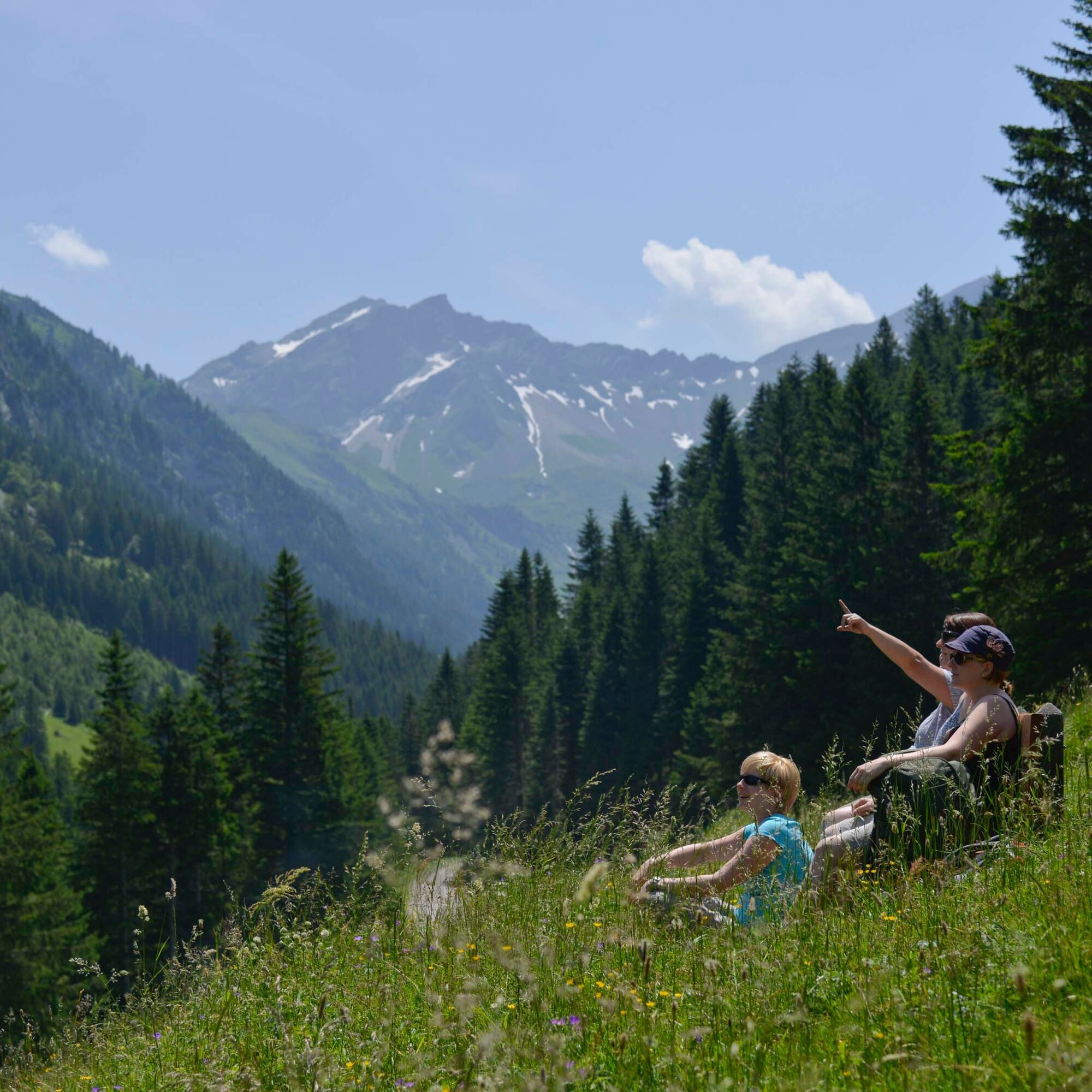
The ridge path leads up to Goldlochspitz and descends to a saddle where the final ascent to the summit of Rappenstein begins. To the south, the massive rock wall of the Falknis range dominates the view. From Rappenstein, hikers are rewarded with a magnificent panoramic view. Beyond the Rhine valley, the peaks of the Glarus Alps, the Churfirsten, as well as the Säntis in the Appenzell Alps can be seen. In good weather, Lake Constance can even be glimpsed in the distance.
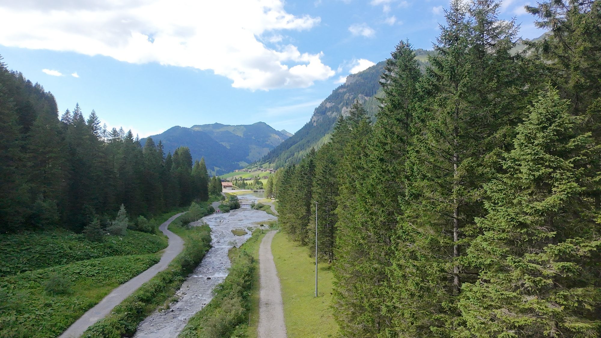
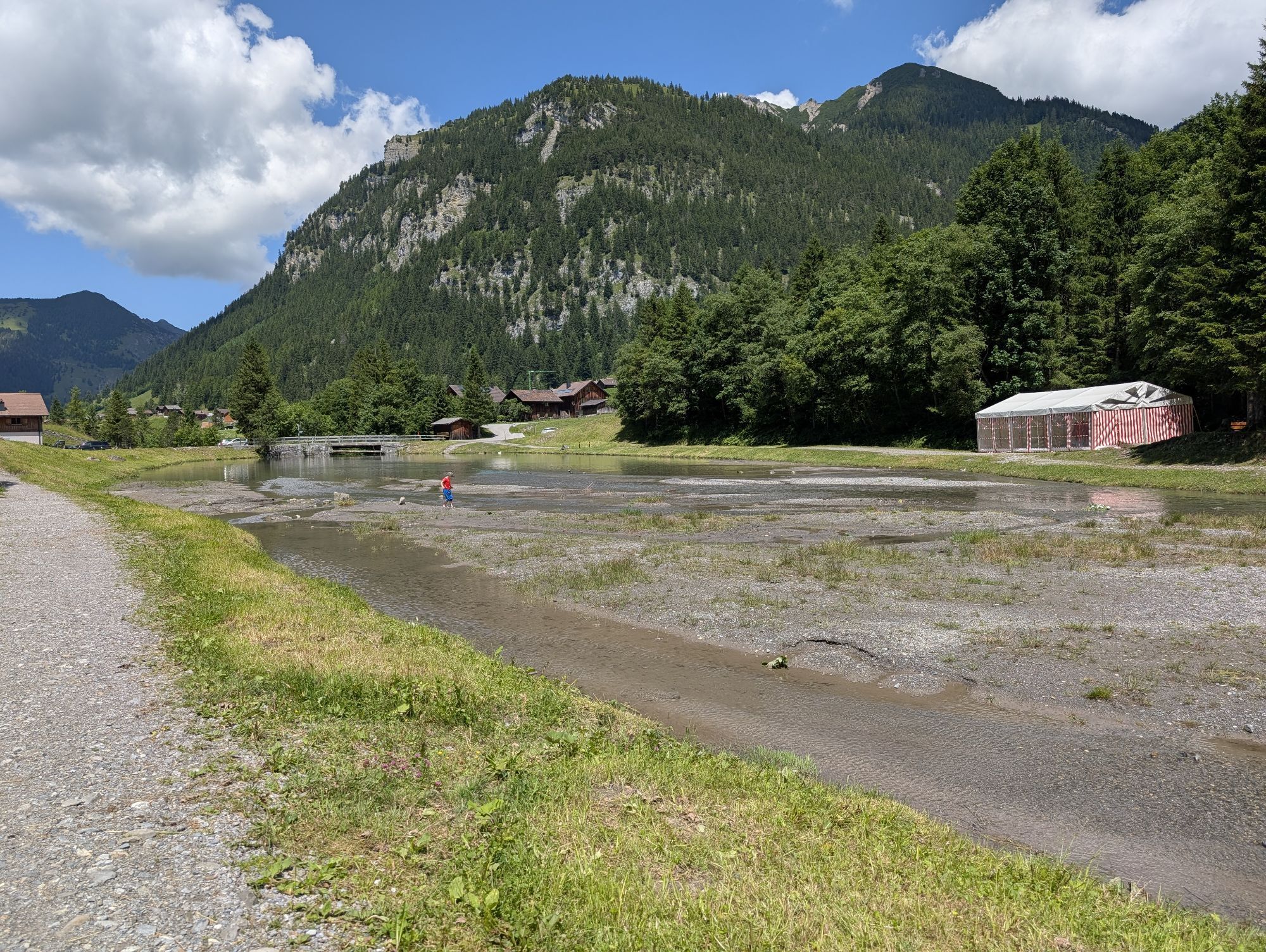
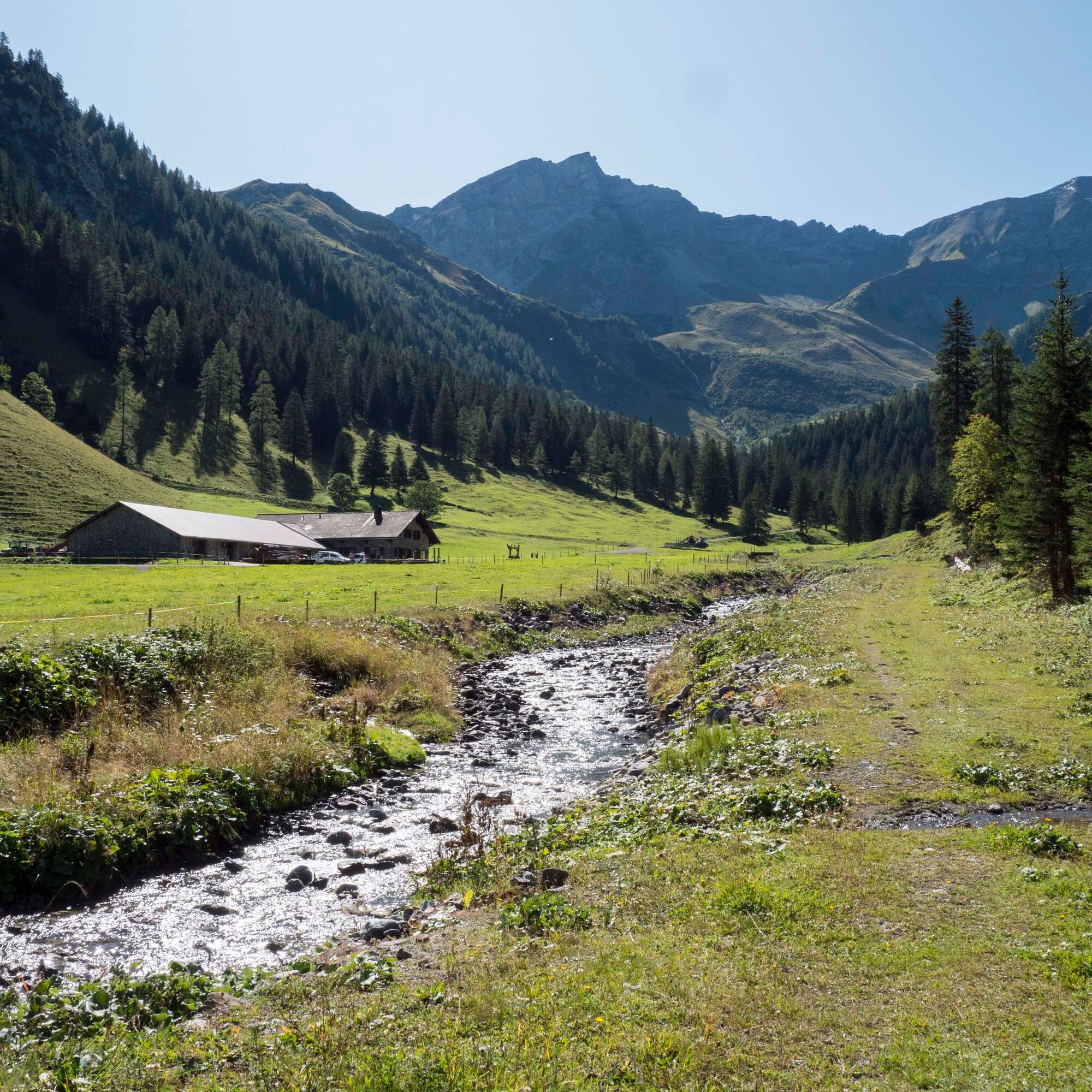
The return route goes over the Rappenstein saddle, then descends right to Alp Gapfahl and from there down into the Valüna valley. Finally, a wide cart track leads along the Valünabach stream past Alp Valüna back to Steg.

Steg – Sücka – Chrüppel – Rappenstein Saddle – Rappenstein – Gapfahl – Valüna – Steg
To undertake a route, careful planning is required. We recommend consulting local information centers in advance about the trails and weather conditions. Depending on the season and weather, this route may be closed or interrupted.
Vaduz-Triesenberg-Steg
Bus stops Hotel or Tunnel in Steg on the Vaduz – Steg – Malbun line
Parking is located at Gänglesee in Steg
Places to eat:
Mountain Inn Sücka (currently closed, the website provides information about opening hours)
Alp Valüna
Bergstübli
Seeblick
Webové kamery z prehliadky
Obľúbené výlety v okolí
-
4,6
To the summit cross of the Alpspitz
svetloTuristika 6,27 km -
4,1
Mondspitze (Montspitze)
strednáTuristika 7,97 km -
4,9
Douglasshütte, Lünersee, Gafalljoch Brand bei Bludenz, Vorarlberg
svetloTuristika 9,16 km -
3,7
Fürstin-Gina-Weg
Turistika 10,7 km -
3,8
Sassweg - von Malbun zum Sass-Seelein
Turistika 4,14 km -
4,8
From Malbun to the Schönberg
strednáTuristika 12,4 km -
4,7
Tamina Gorge Circular Route
strednáTuristika 14,0 km -
4,8
Douglashütte - Schesaplana
strednáTuristika 7,31 km -
4,6
Pizalun circular route
svetloTuristika 7,18 km -
4,7
Alvier
strednáTuristika 3,33 km
Turistika a stopovanie


Nenechajte si ujsť ponuky a inšpiráciu na ďalšiu dovolenku
Vaša e-mailová adresa bol pridaný do poštového zoznamu.